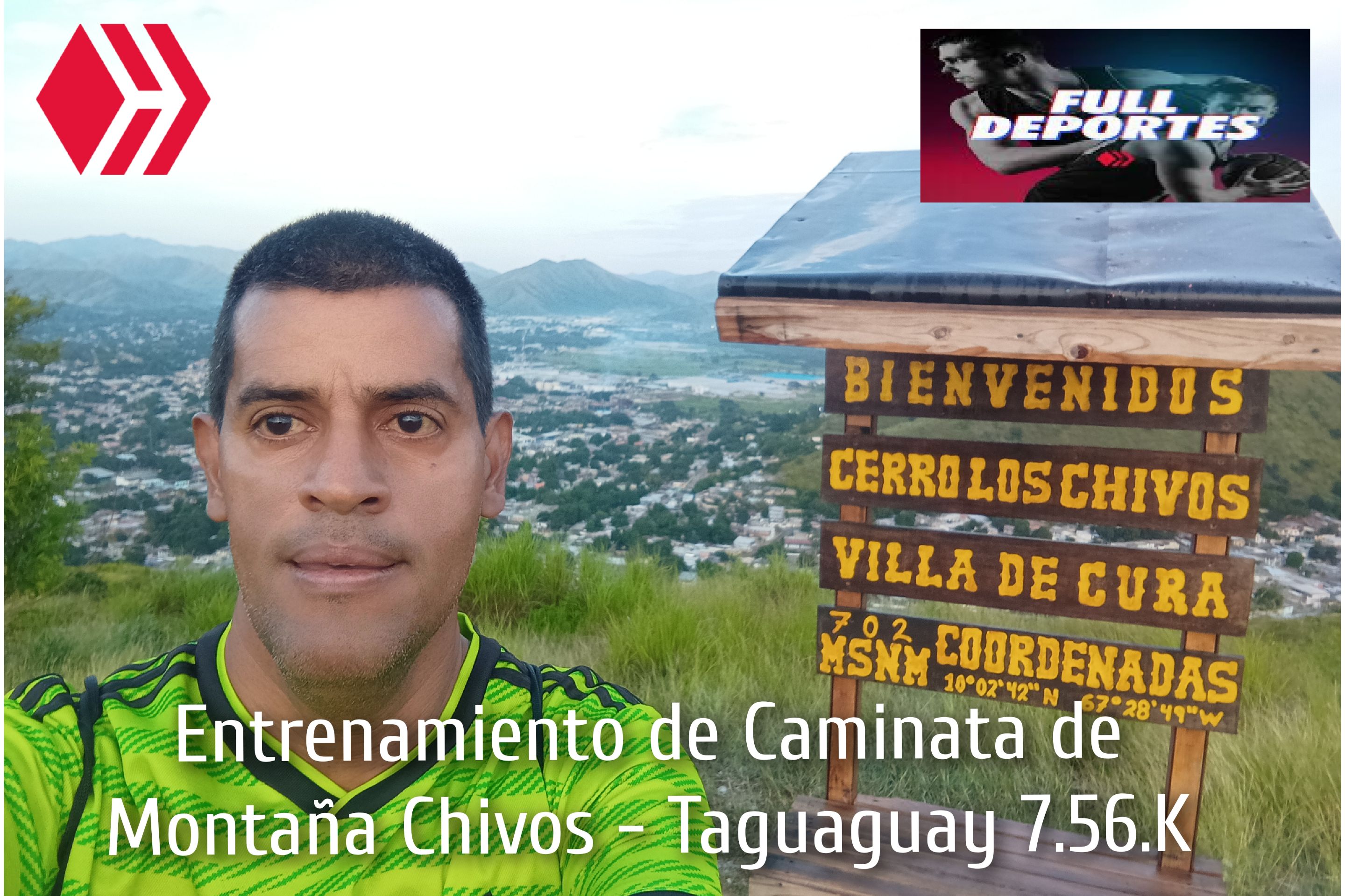
Saludos amigos de Hive y de @fulldeportes, hoy voy a compartir con ustedes mi entrenamiento de caminata de montaña que hice en la ruta del cerro Los Chivos - Taguaguay, en la comunidad de Villa de Cura, municipio Zamora, estado Aragua.
>Greetings, friends of Hive and @fulldeportes. Today I am going to share with you my mountain walking training that I did on the Los Chivos - Taguaguay hill route, in the community of Villa de Cura, Zamora municipality, Aragua state.
Cabe destacar que este entrenamiento lo realicé el día de hoy miércoles, ya que tenía el día libre y como no entrenaba desde el día domingo, cuando participé en la caminata de El Peñón, todavía siento algunos dolores musculares, entonces había pensado hacer un recorrido plano, pero después decidí subir el cerro, salí a las 6:18 de la mañana, desde la avenida Lisandro Hernández, a un ritmo suave para recuperarme del esfuerzo físico.
It should be noted that I did this training today, Wednesday, as I had the day off and, since I hadn't trained since Sunday, when I took part in the El Peñón walk, I still feel some muscle pain, so I had thought about doing a flat route, but then I decided to climb the hill. I left at 6:18 in the morning, from Lisandro Hernández Avenue, at a gentle pace to recover from the physical effort.
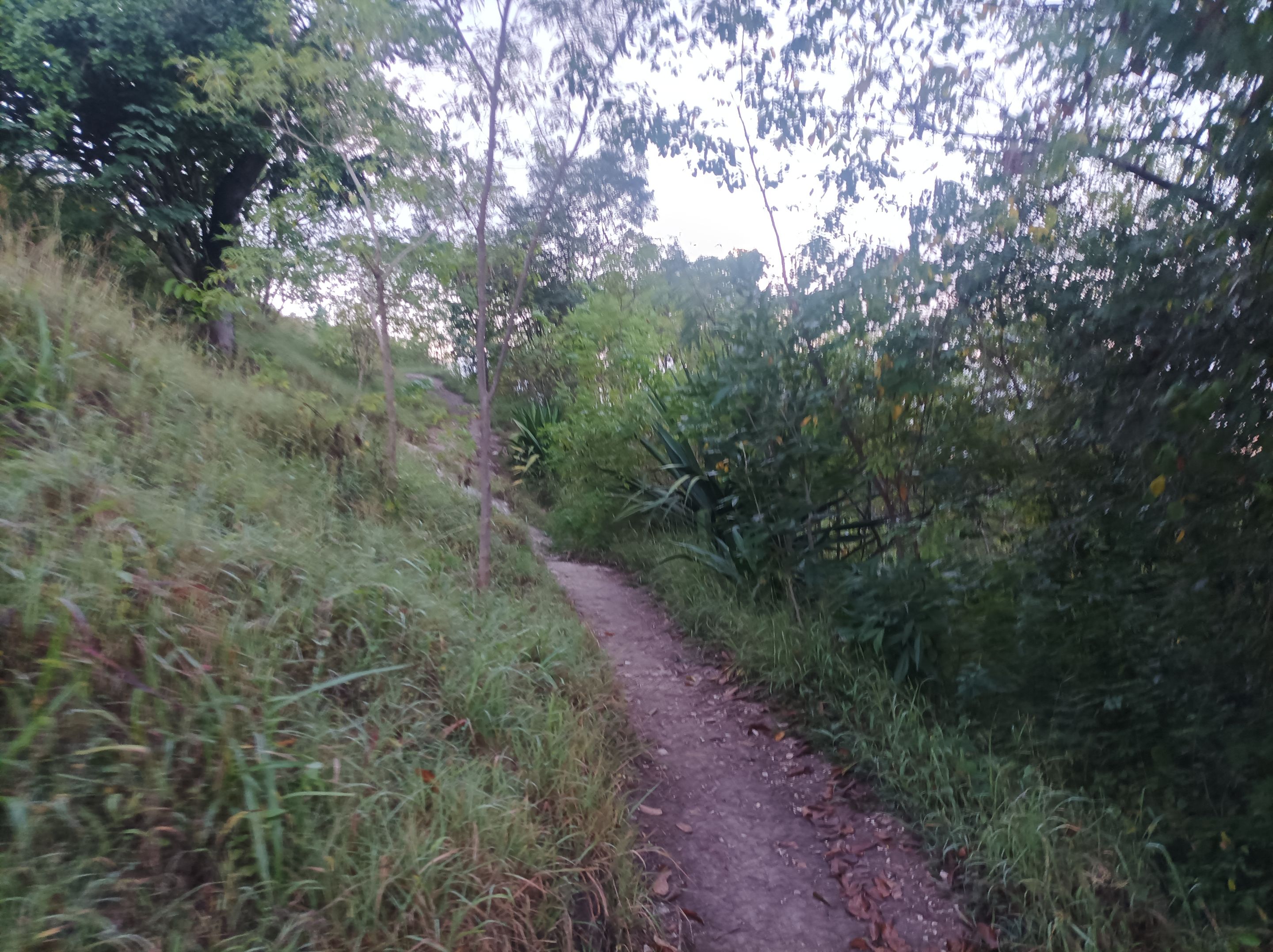
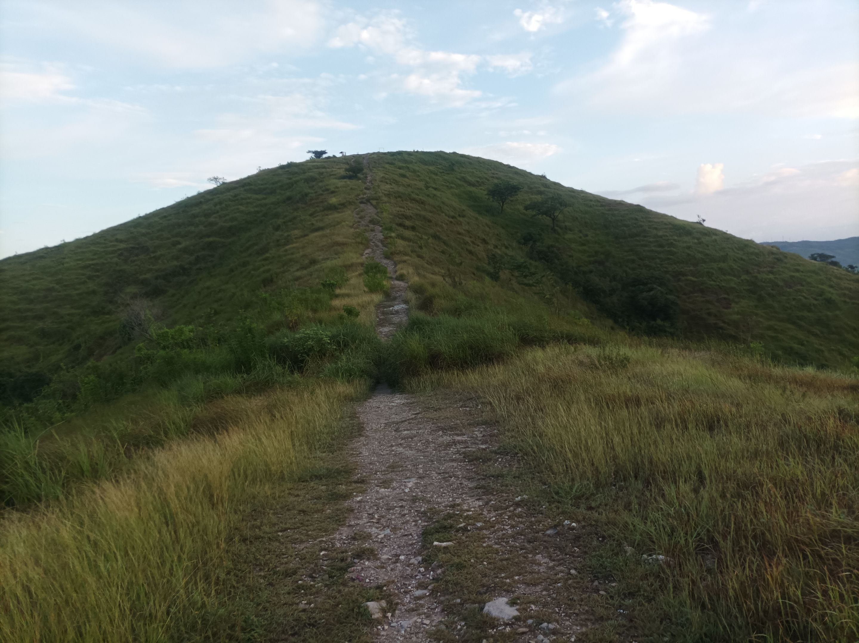
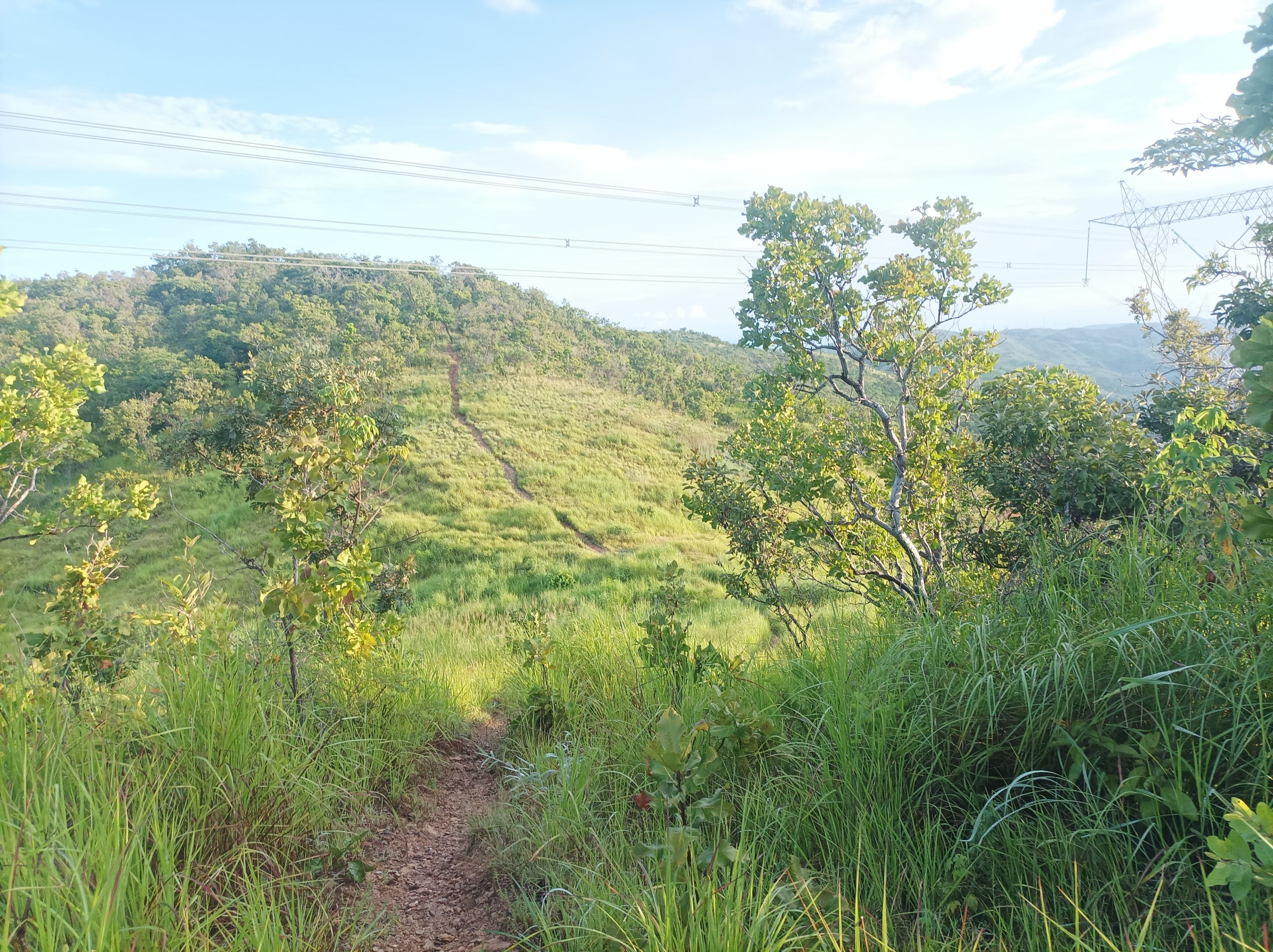
Asimismo comencé adentrarme a la montaña, por la segunda entrada de la Lisandro Hernández, que es un poco más largo, llegué a la cima de la primera montaña con un tiempo de 11 minutos. Después continúe avanzando para pasar la segunda y tercera pendiente que es la más fuerte. Es importante que después de una competencia tanto de carrera o caminata, descansar uno o dos días, para luego hacer un entrenamiento suave para recuperar las condiciones físicas.
I also began to venture into the mountains, taking the second entrance on Lisandro Hernández, which is a little longer, and reached the top of the first mountain in 11 minutes. I then continued onward to pass the second and third slopes, which are the steepest. After a running or walking competition, it is important to rest for a day or two and then do some light training to recover your physical condition.
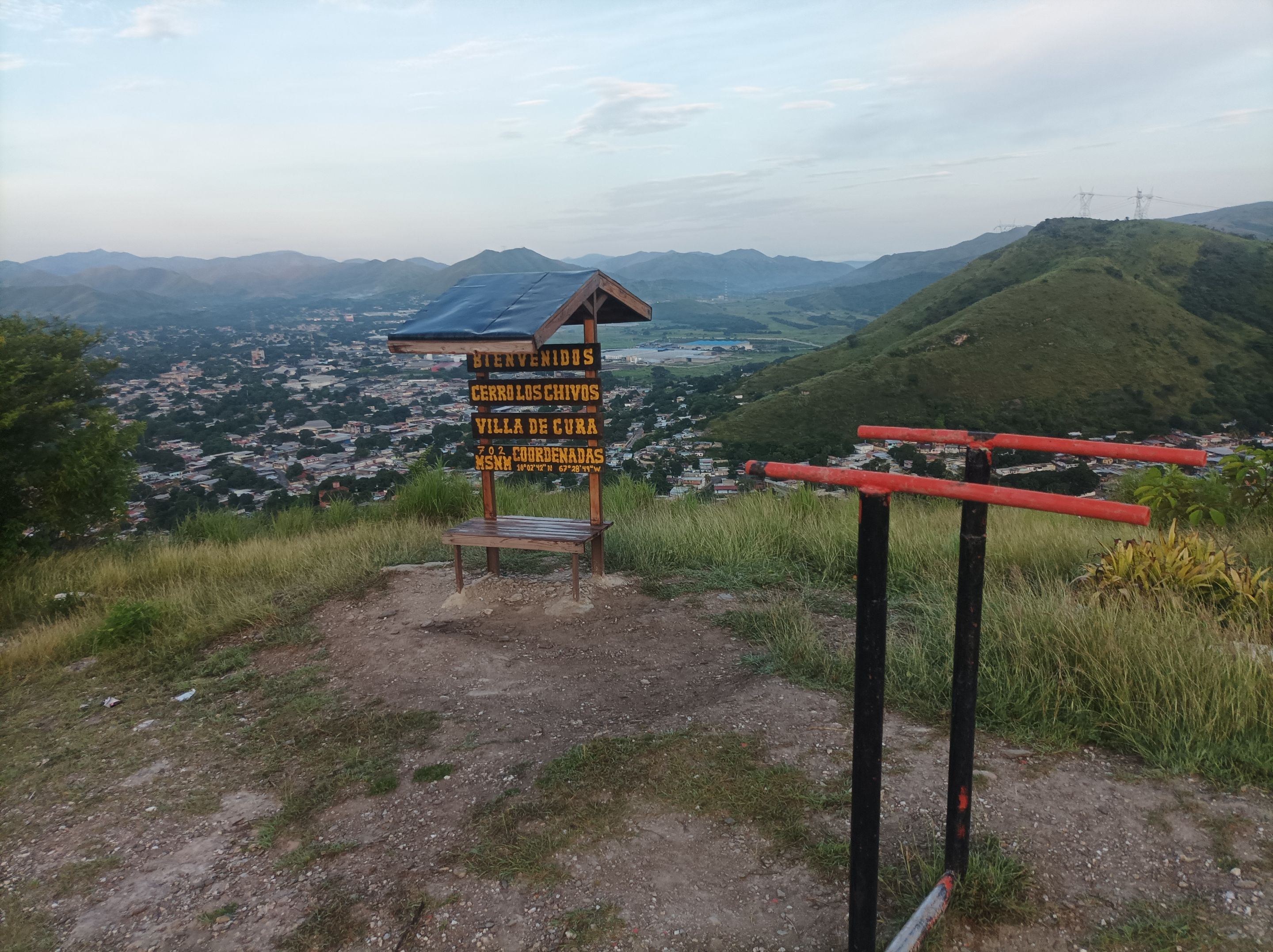
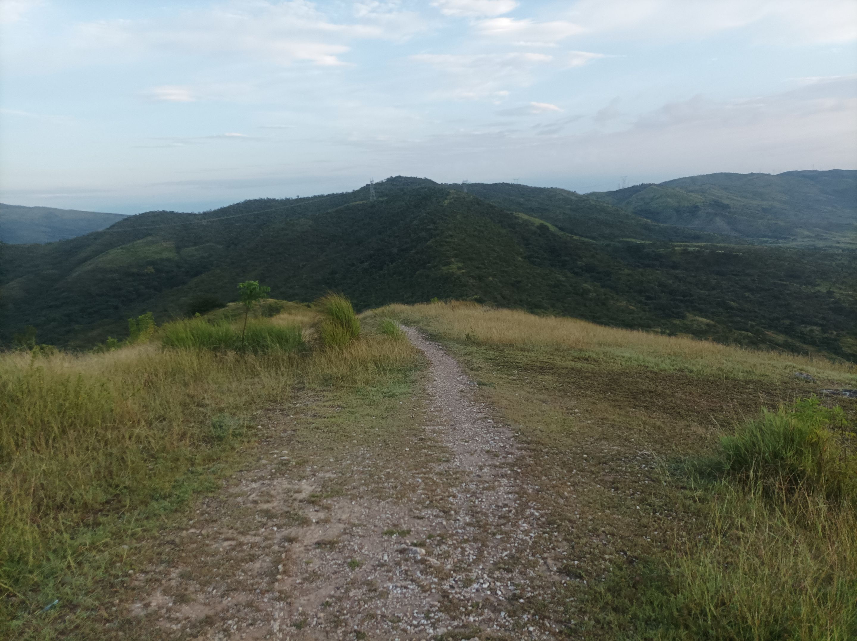
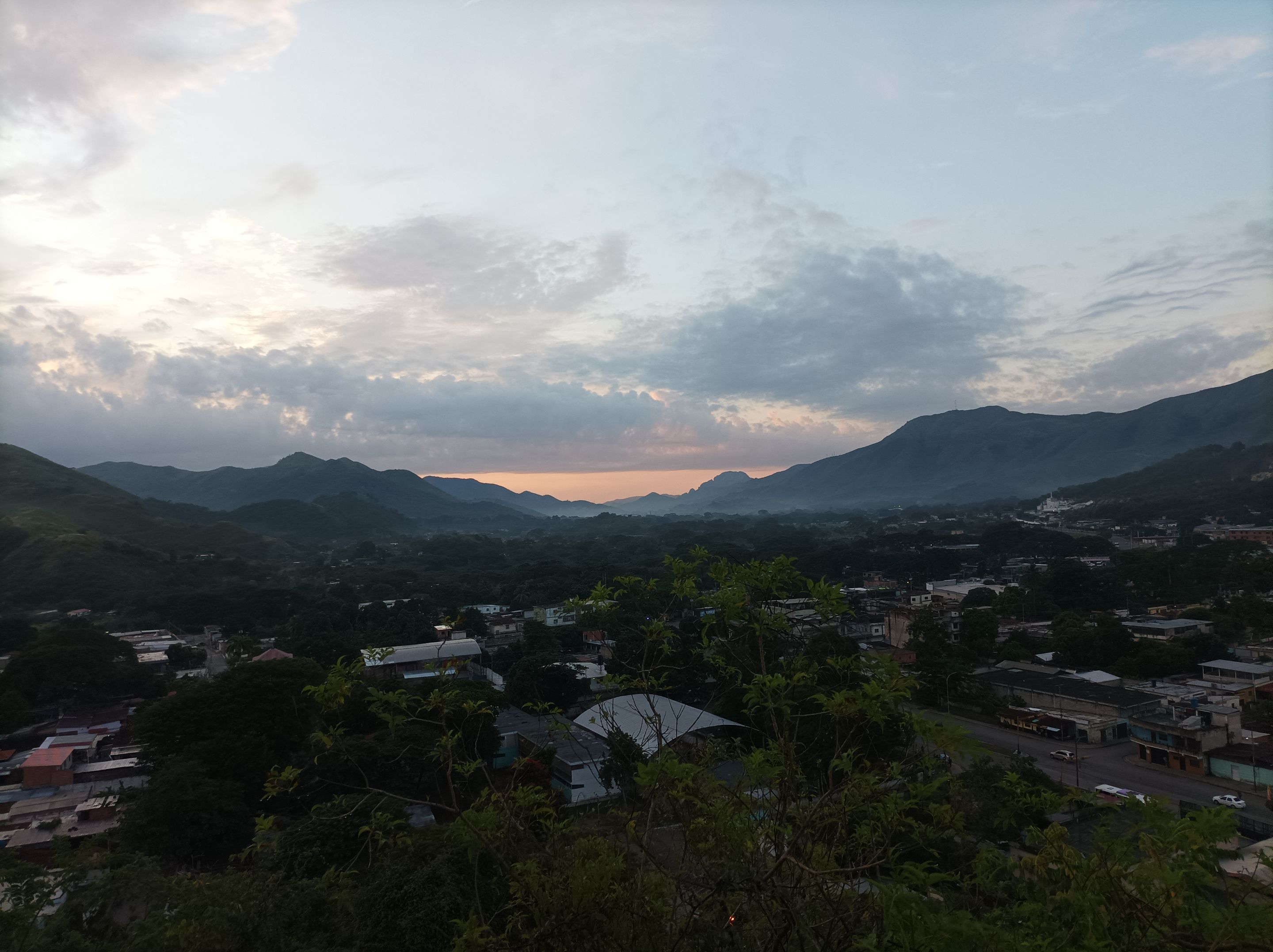
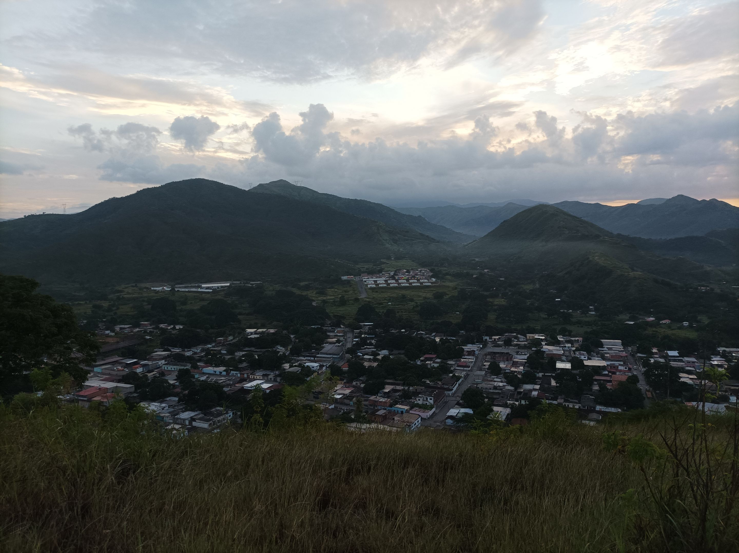
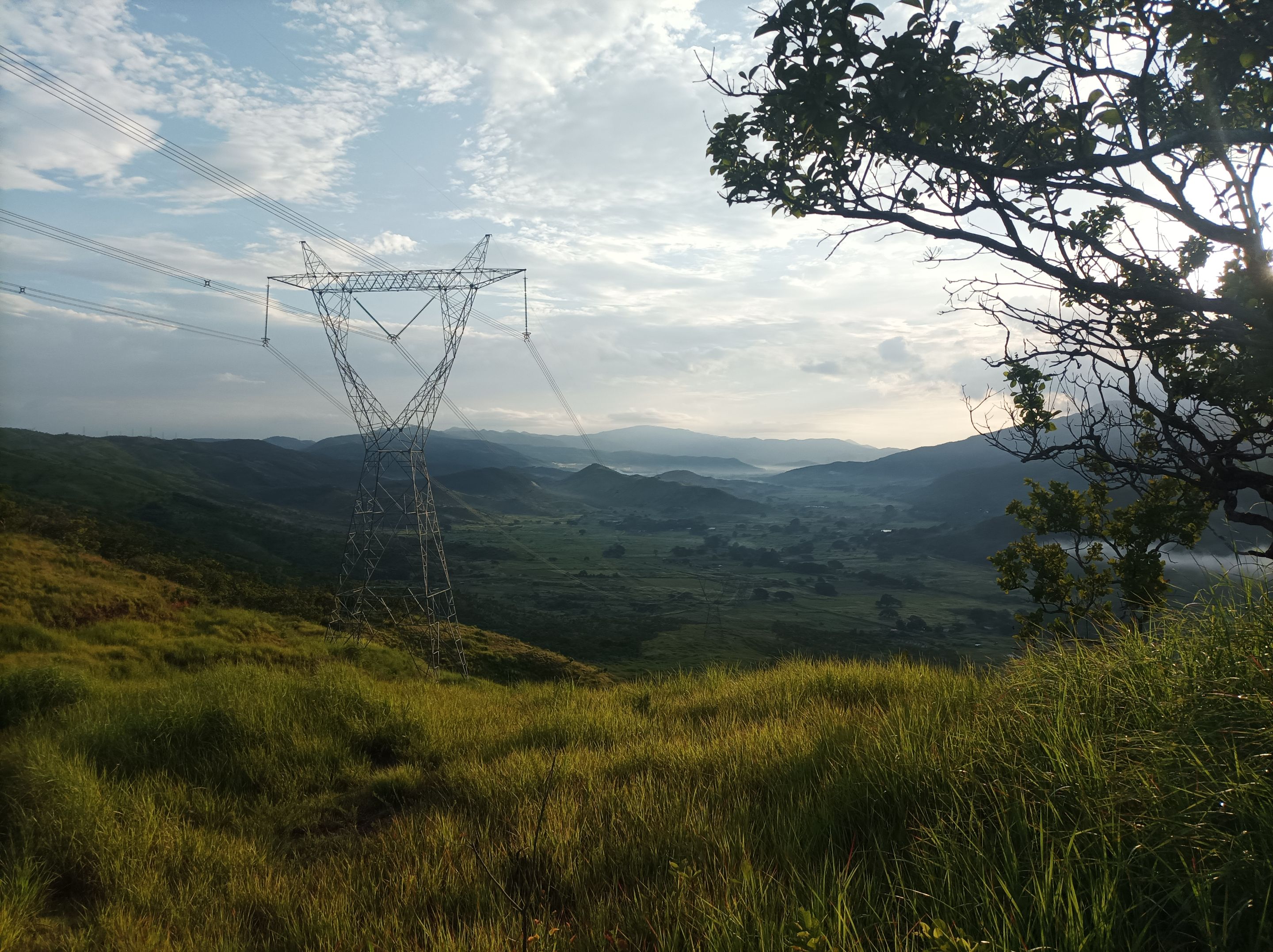
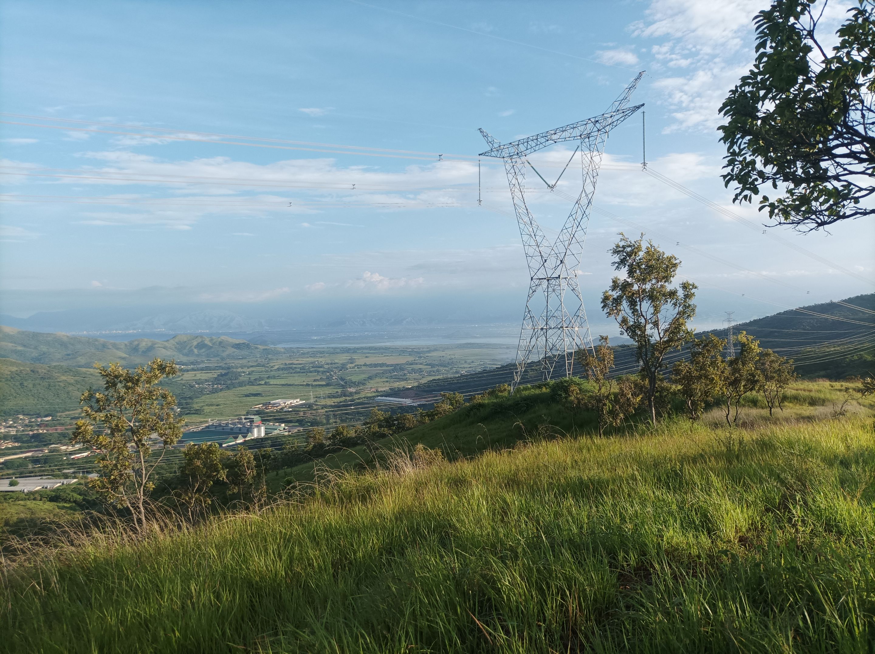
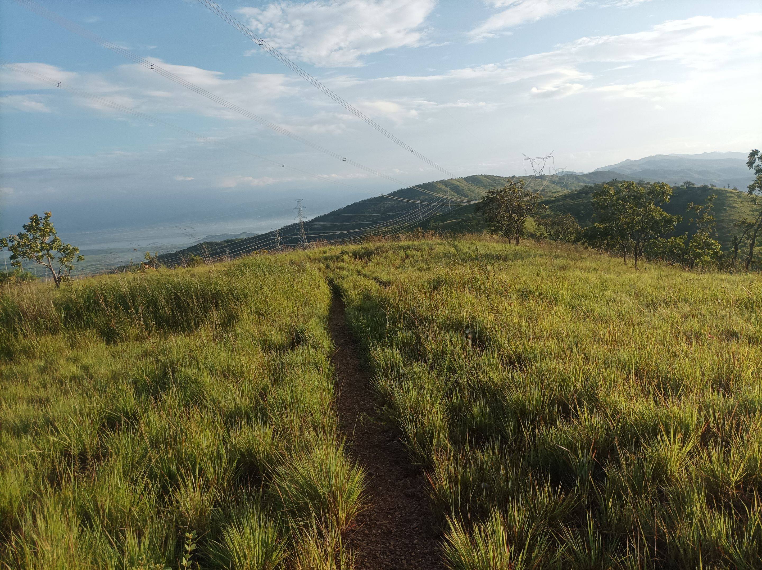
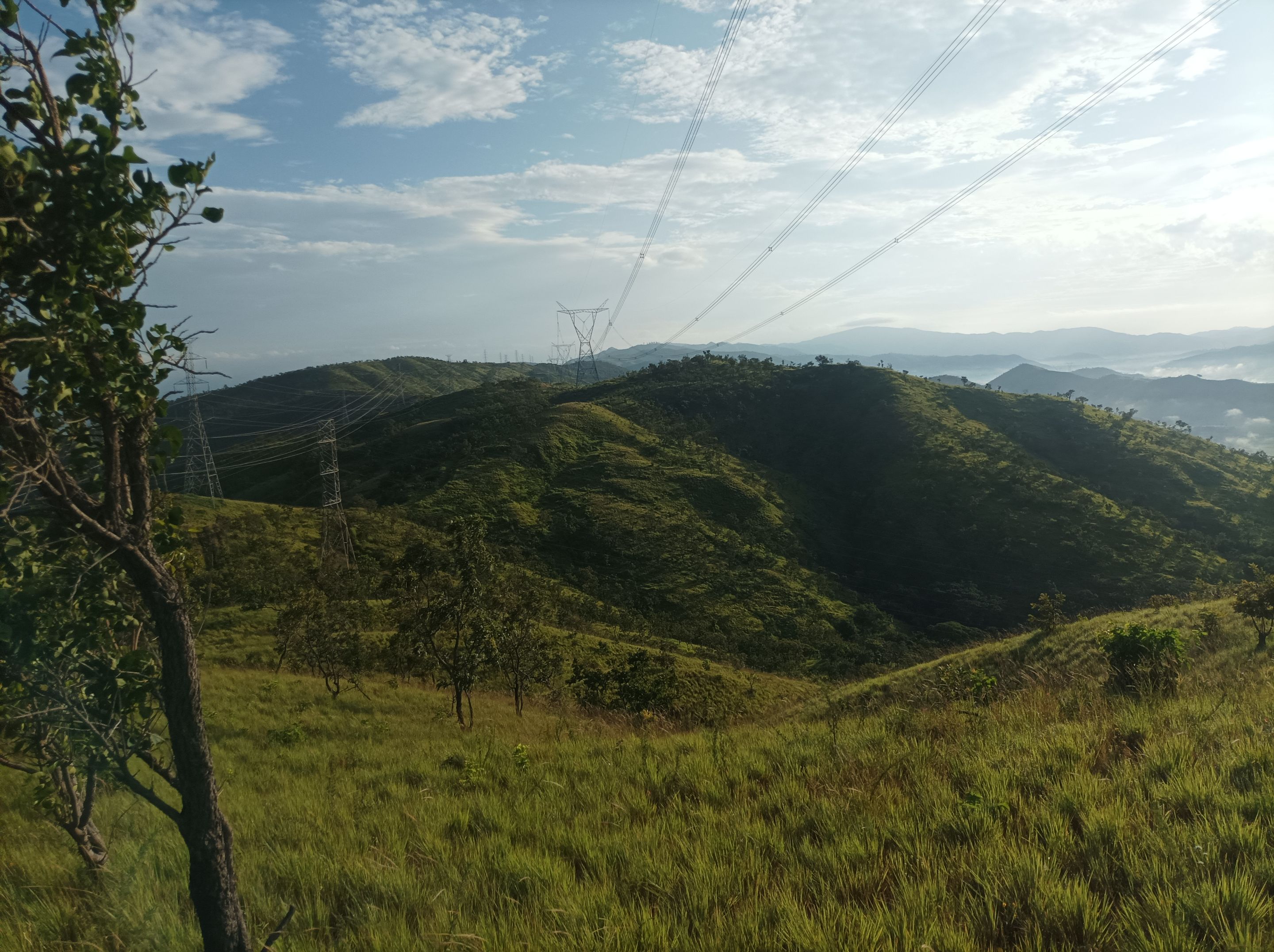
Al llegar a la tercera montaña, donde están las máquinas de ejercicios, me detuve unos segundos para tomar unas fotografías de este bello paisaje, luego comencé a descender para llegar al desvío del sector de Las Mercedes, pero continúe derecho para avanzar y nuevamente subir, pasando por Las Torres. Después seguí caminando para finalizar mi recorrido de ida al frente de la montaña de donde se observa la laguna de Taguaguay, con una distancia de 4K.
When I reached the third mountain, where the exercise machines are located, I stopped for a few seconds to take some pictures of this beautiful landscape, then I began to descend to reach the Las Mercedes turnoff, but I continued straight ahead to move forward and climb again, passing through Las Torres. Then I kept walking to finish my journey in front of the mountain where you can see the Taguaguay lagoon, a distance of 4K.
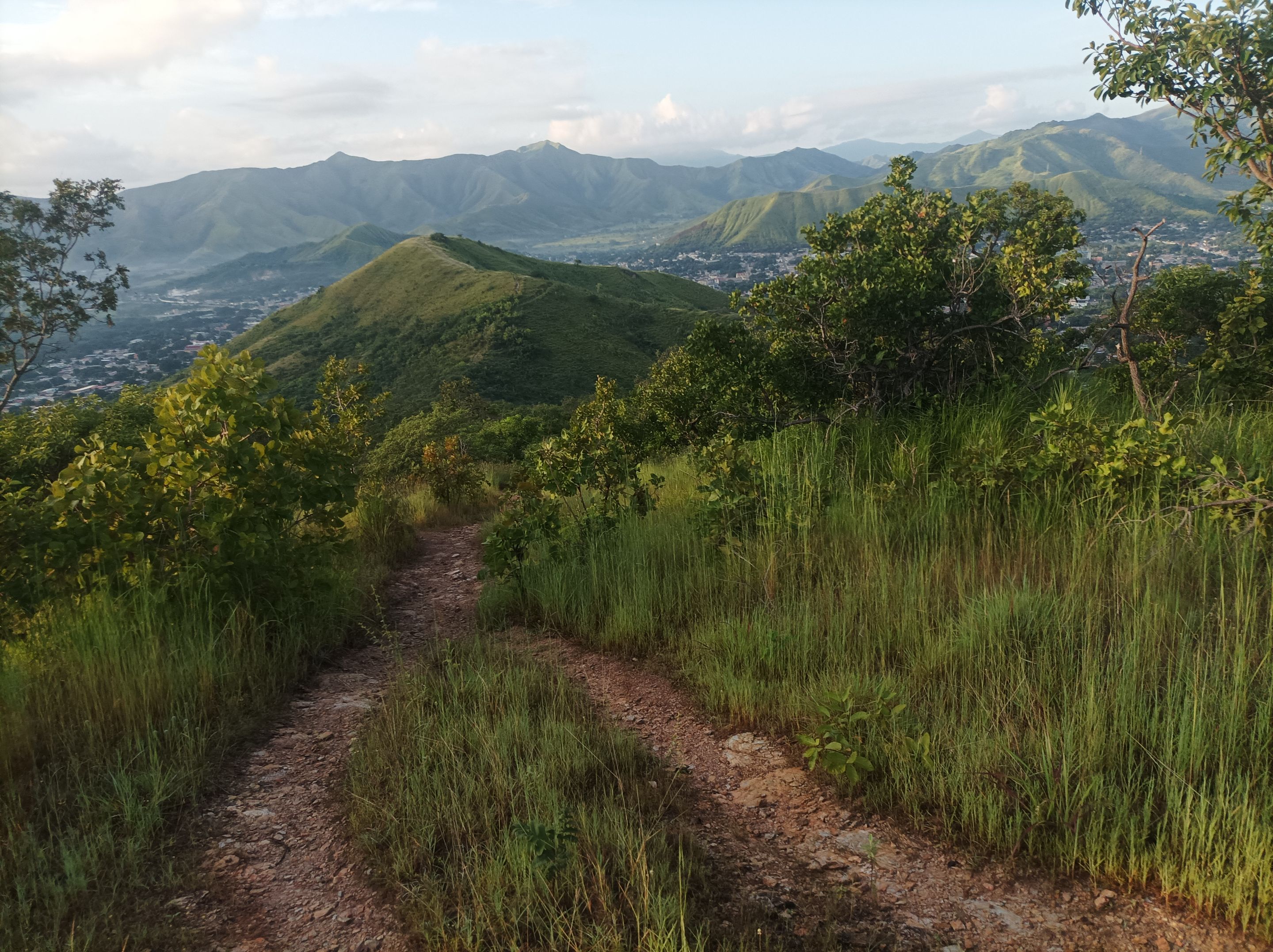
Después, decidí retornar por el mismo camino, de regreso me encontré varias personas haciendo ejercicios en la tercera montaña, terminé de bajar de la montaña y realicé un tiempo final de 1 hora 49 minutos con 32 segundos, con una distancia de 7.56K, con un desnivel positivo de 518 m y un desnivel máximo de 767 m, registrado en la aplicación Strava.
Afterwards, I decided to return by the same route. On the way back, I encountered several people exercising on the third mountain. I finished descending the mountain and completed a final time of 1 hour, 49 minutes, and 32 seconds, covering a distance of 7.56K, with an elevation gain of 518 m and a maximum elevation gain of 767 m, recorded on the Strava app.
Echa un vistazo a mi caminata en Strava: https://strava.app.link/eABUfd7w7Wb
Check out my hike on Strava: https://strava.app.link/eABUfd7w7Wb
Espero que les haya gustado, nos vemos en una próxima publicación.
I hope you liked it, see you in a next post.
Fotografías: Teléfono Redmi Note 10
Portada realizada en APP GridArt
Logos utilizados de Hive y de @fulldeportes
Traductor utilizado: Traductor de Google
Photos: Redmi Note 10 Phone
Cover made in The APP GridArte
Used logos of Hive and @fulldeportes
Translator used: Translator used: Google Translate
 Vote la-colmena for witness By @ylich
Posted Using INLEO