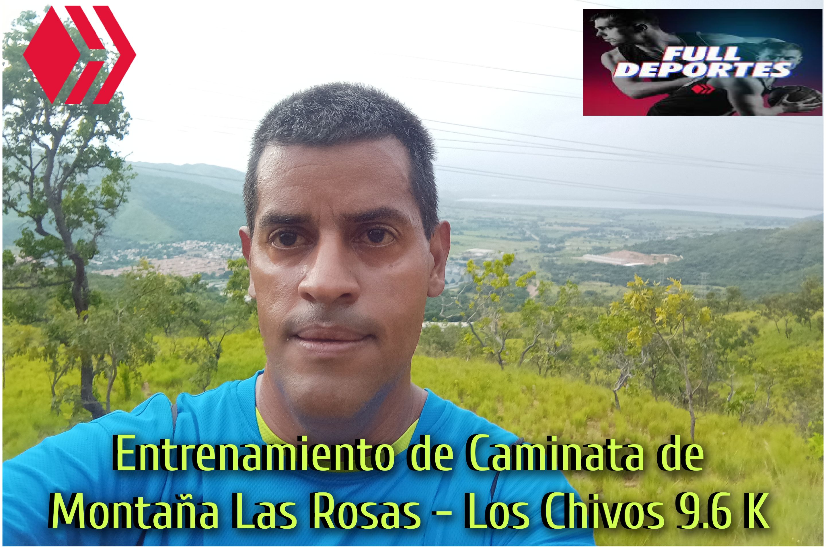
 Cabe destacar que este entrenamiento lo realicé el día domingo en la tarde porque el sábado llovió toda la noche y no quise salir en la mañana debido a que estaría todo mojado y por eso me animé a caminar, saliendo a las 4:30 desde la avenida Lisandro Hernández con dirección Villa de Cura- Cagua, después de pasar cerca del restaurante Villacon, llevaba un tiempo de. 15 minutos con 33 segundos, es un buen ritmo en esta parte plana.
It's worth noting that I did this workout on Sunday afternoon because it rained all night on Saturday and I didn't want to go out in the morning because I'd be all wet, so I decided to walk. I left at 4:30 from Lisandro Hernández Avenue in the direction of Villa de Cura-Cagua, after passing near the Villacon restaurant. I had a time of 15 minutes and 33 seconds, which is a good pace on this flat area.
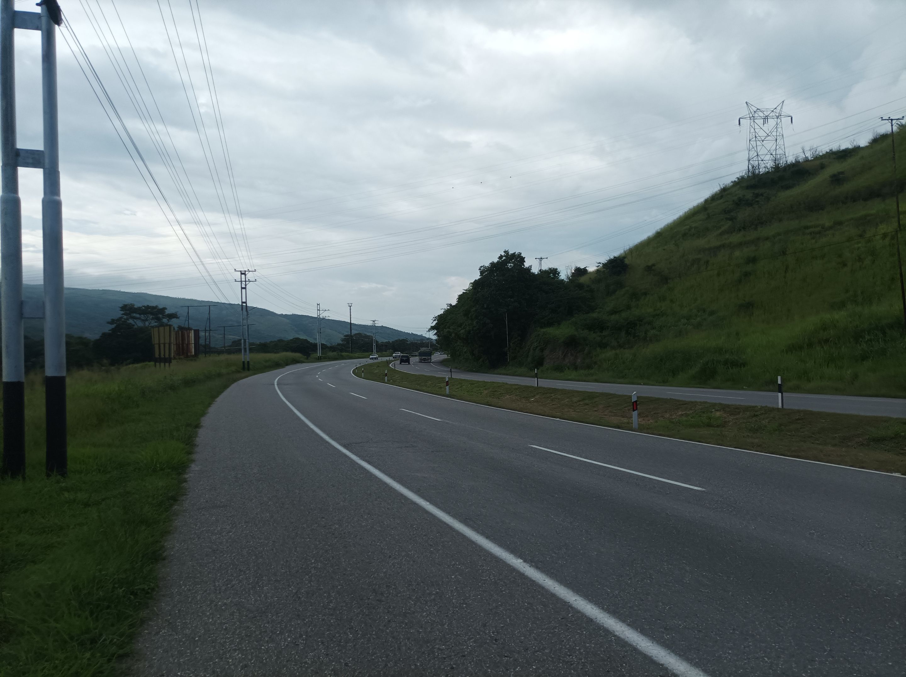
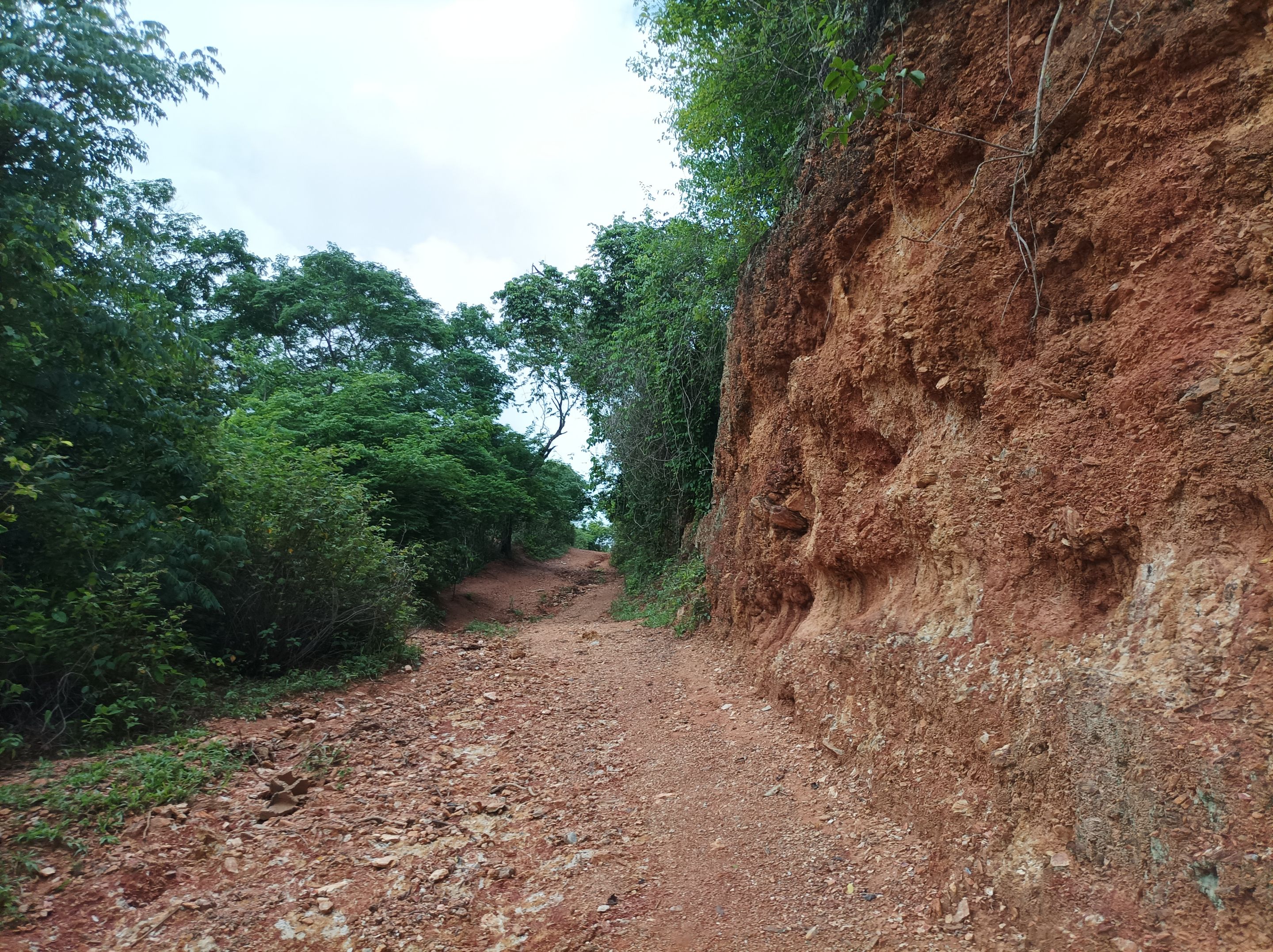
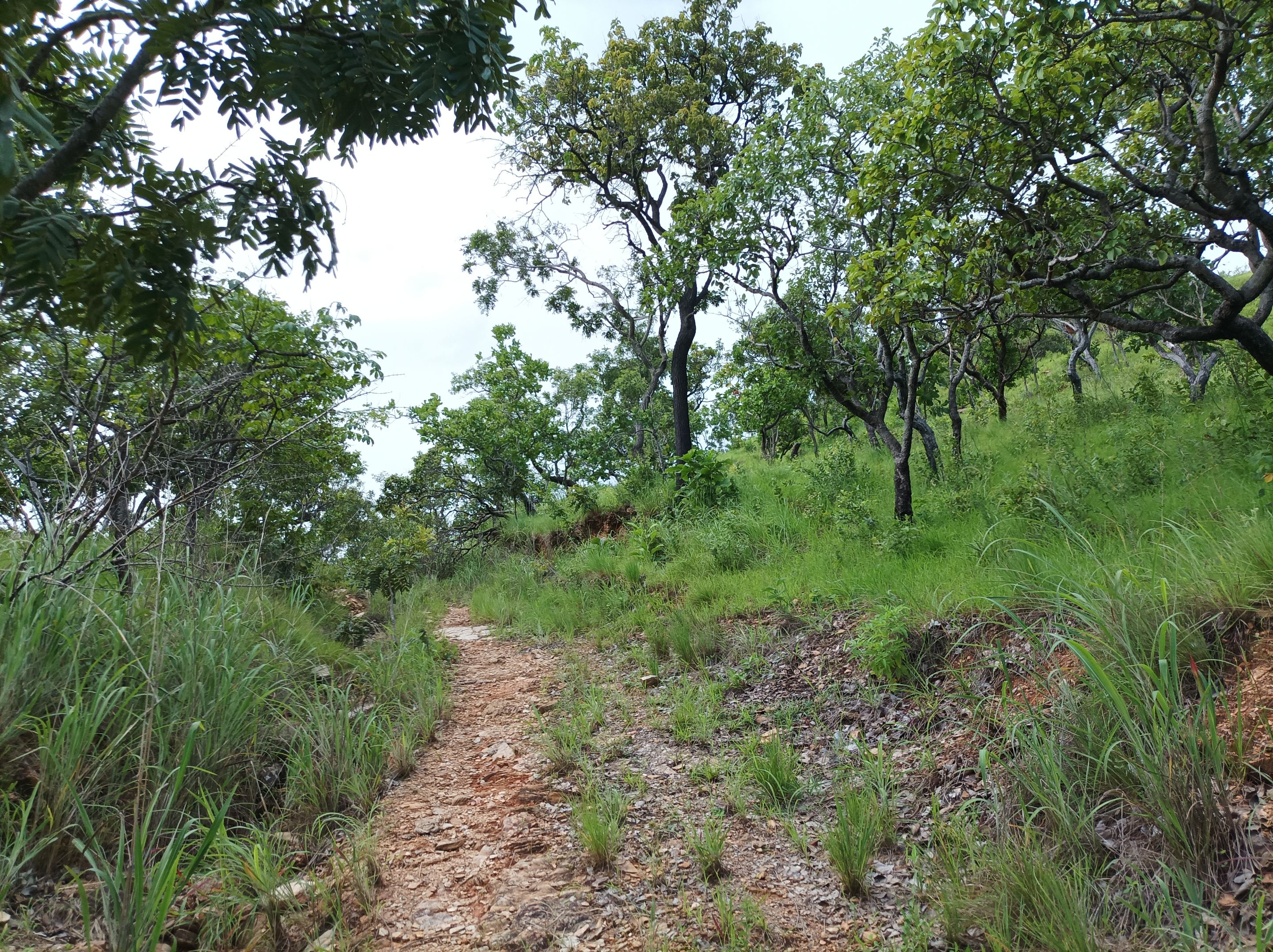
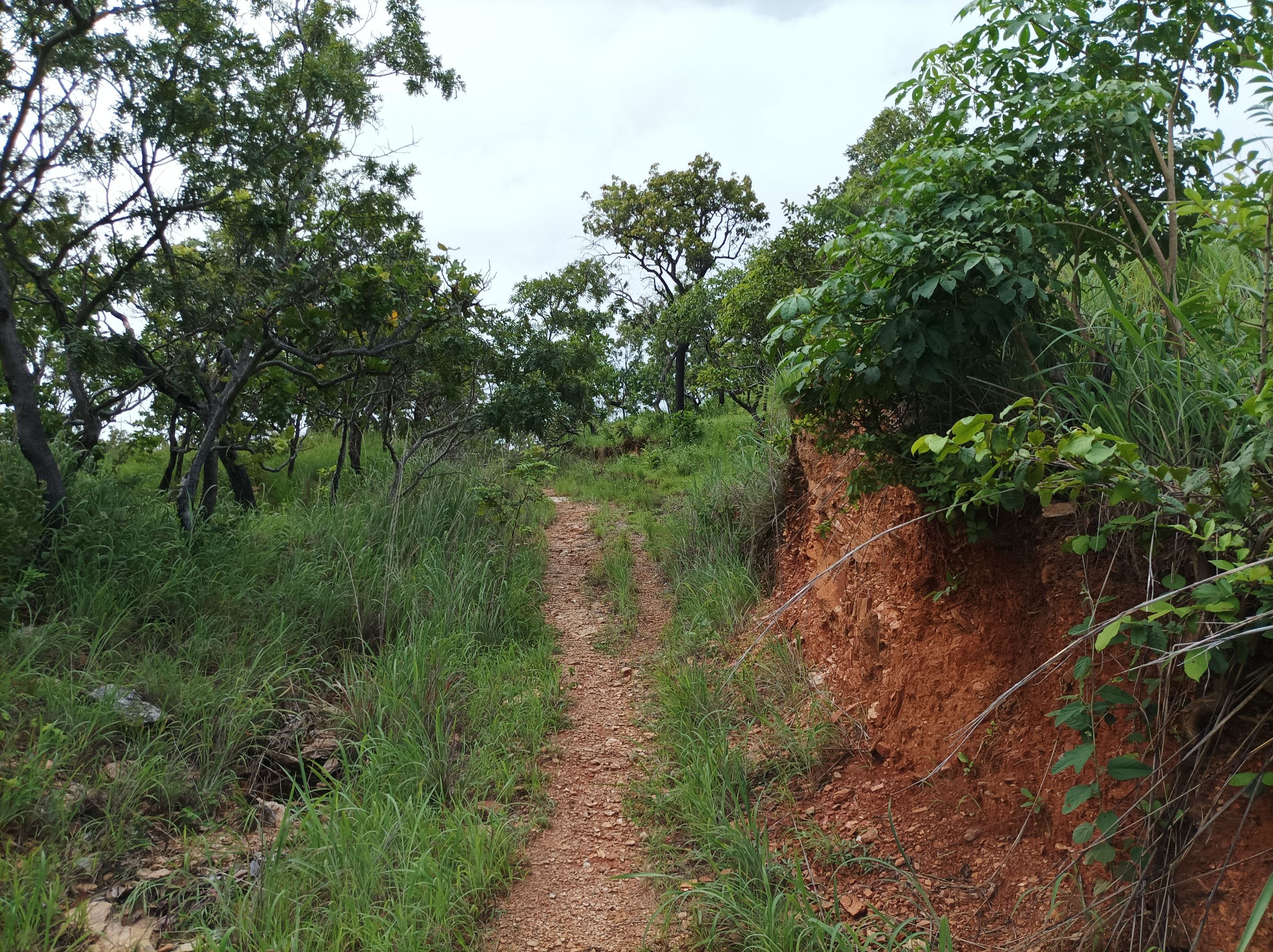
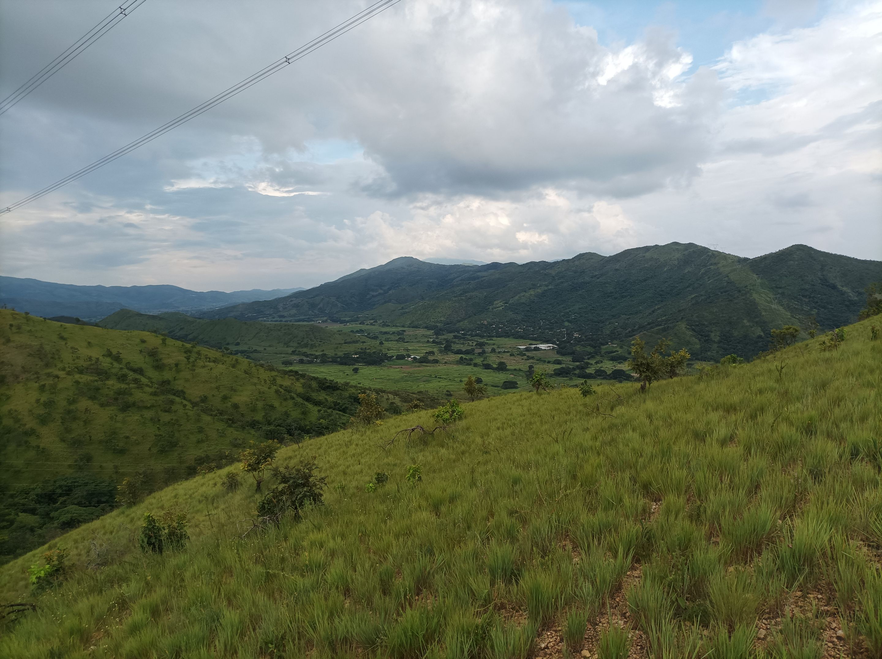
Después continúe avanzando, con mucho cuidado debido a que en esta carretera hubo una gran afluencia de vehículos en esta vía, por eso es que no me gusta mucho entrenar de tarde, llegué a la entrada del.cerro Las Rosas con un tiempo de 32 minutos y una distancia de 3K. Luego comencé el ascenso a esta montaña, todavía había algunas partes con algo de barro debido a las lluvias, por estos nos encontramos con varias subidas de aproximadamente 200 metros, con parte plana que me ayuda a recuperarme del esfuerzo.
I then continued moving forward, being very careful because there was a large influx of vehicles on this road, which is why I don't like training in the afternoon. I reached the entrance to Cerro Las Rosas with a time of 32 minutes and a distance of 3K. Then I began the ascent of this mountain. There were still some muddy sections due to the rain, and along these stretches we encountered several climbs of approximately 200 meters, with flat sections that helped me recover from the effort.
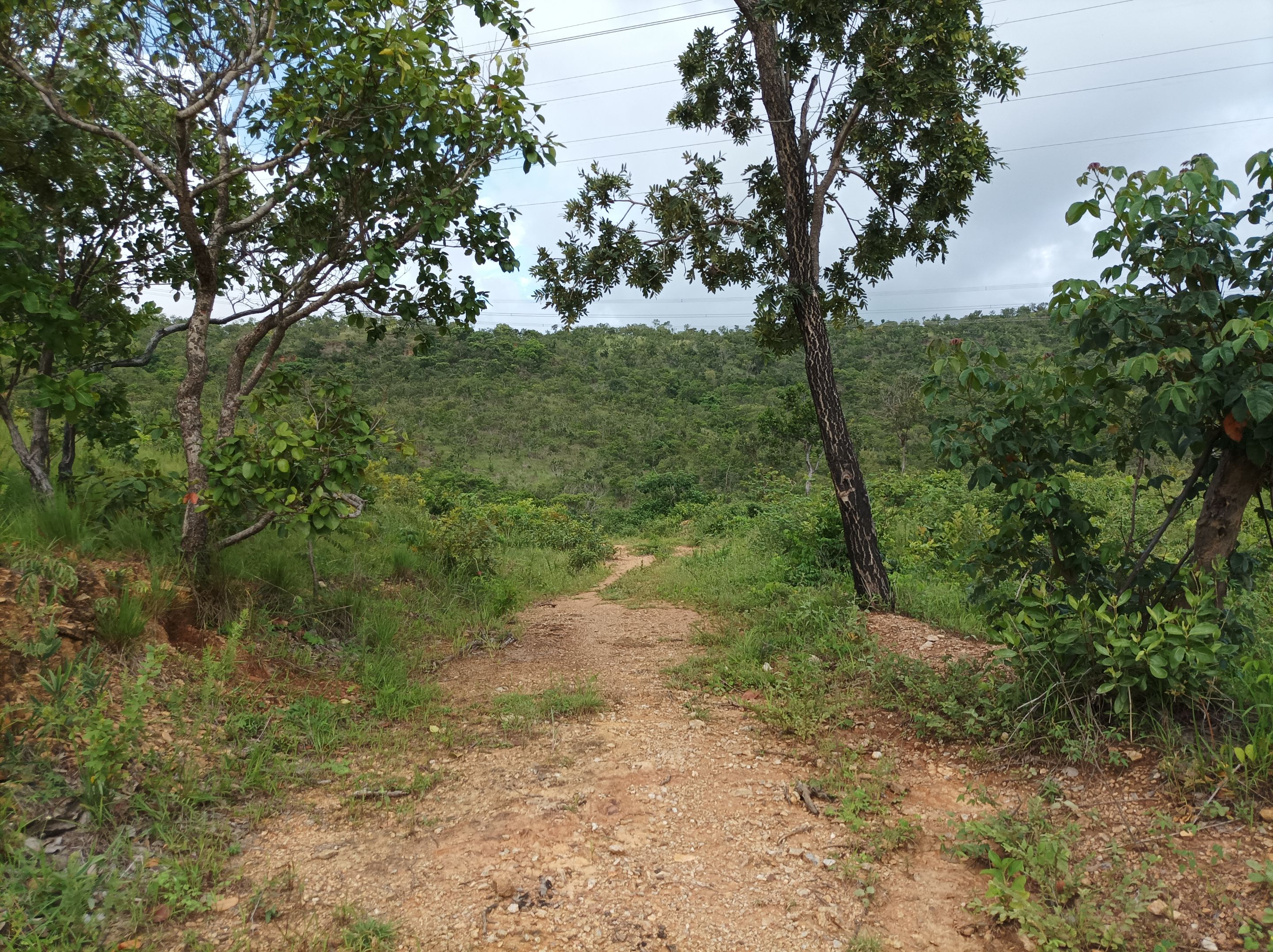
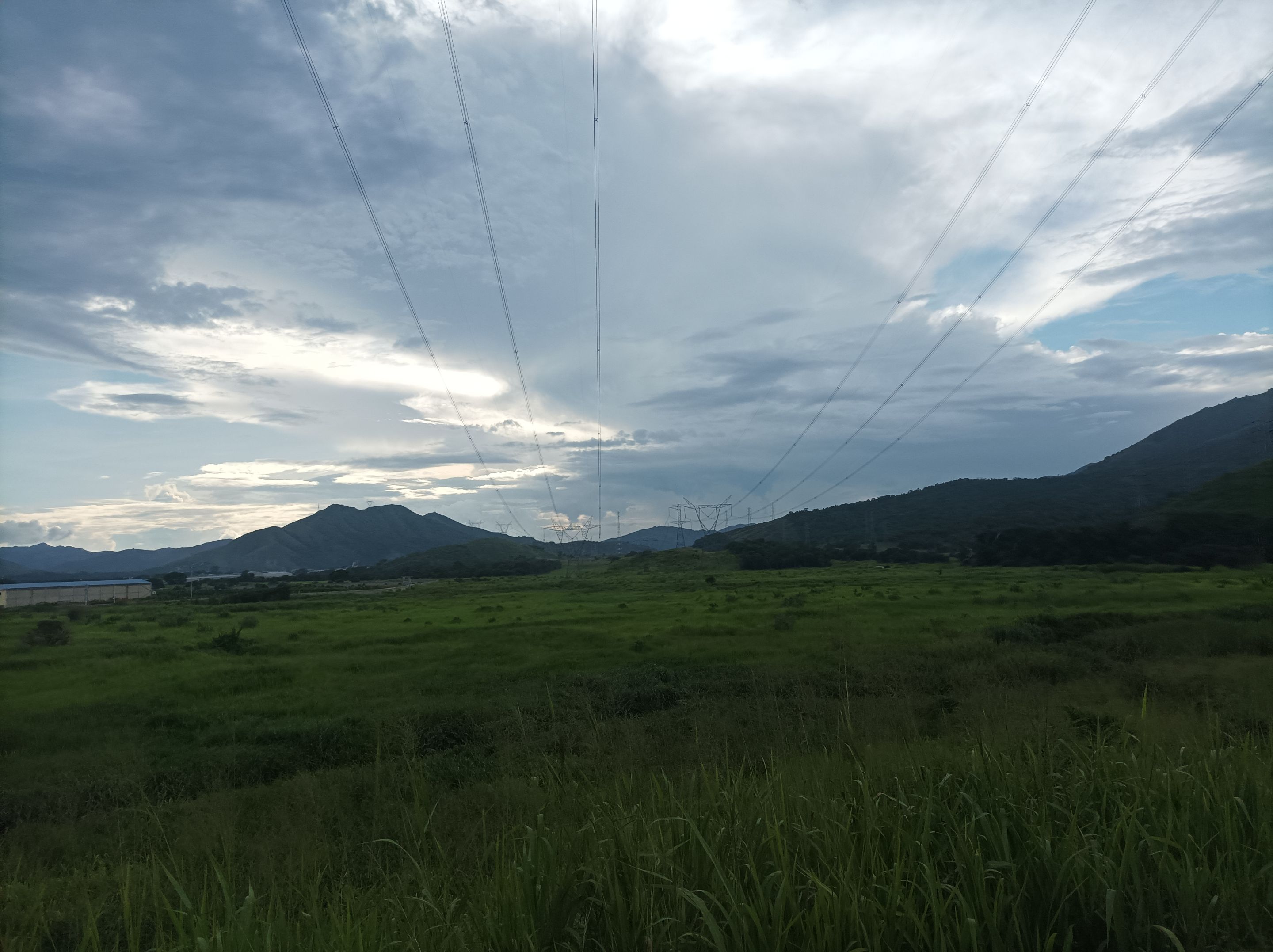
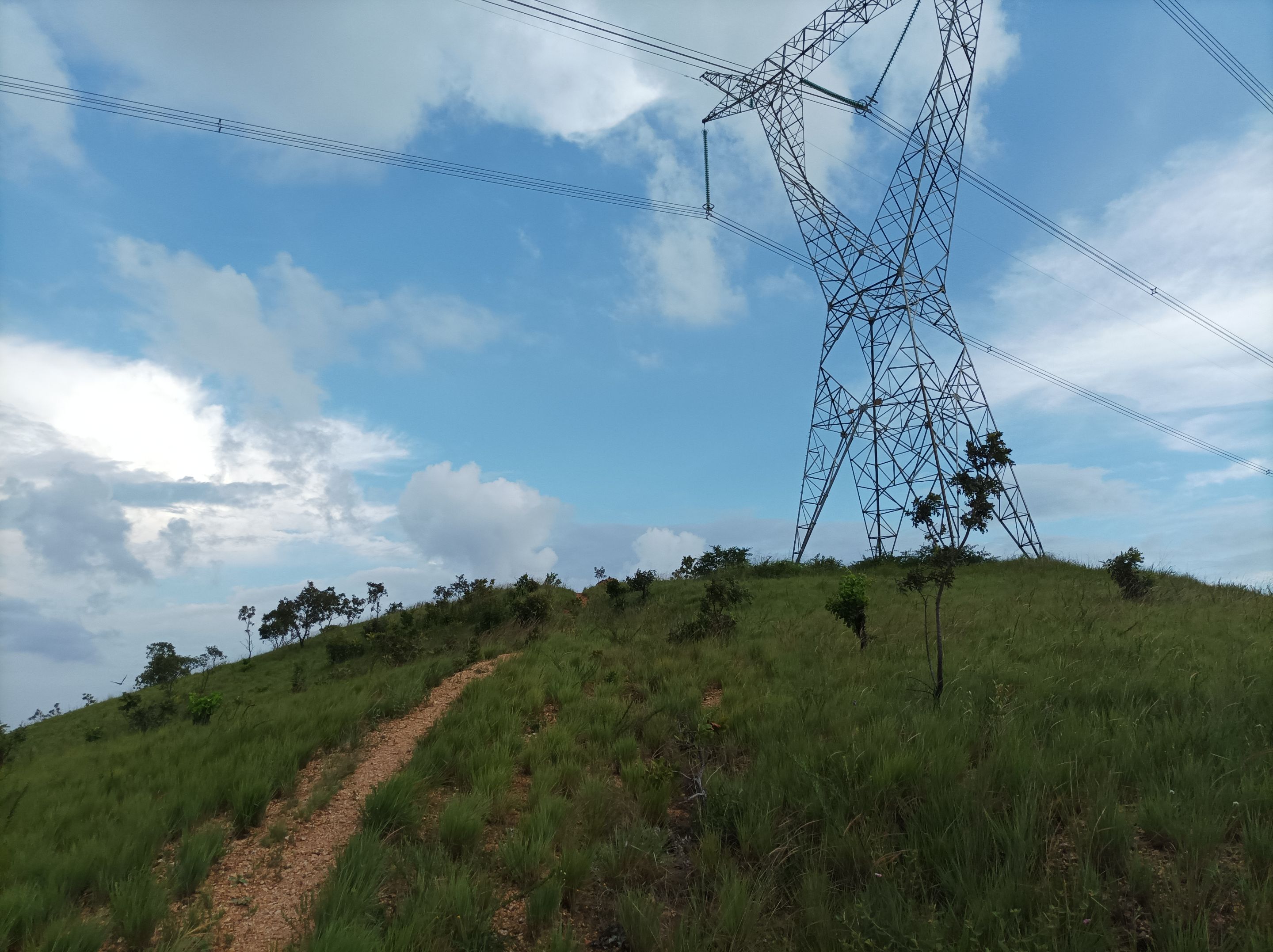
Asimismo, traté de mantener un buen ritmo de caminata en un 60% de esfuerzo, pase los 5K en un tiempo de 50 minutos, ya casi estaba cerca de la torre desde donde se puede apreciar la laguna de Taguaguay. En esta parte me gusta siempre detenerme para hidratarme un poco y tomar algunas fotografías del bello paisaje.
I also tried to maintain a good walking pace at 60% effort. I completed the 5K in 50 minutes, almost reaching the tower overlooking Taguaguay Lagoon. At this point, I always like to stop to hydrate and take some photos of the beautiful scenery.
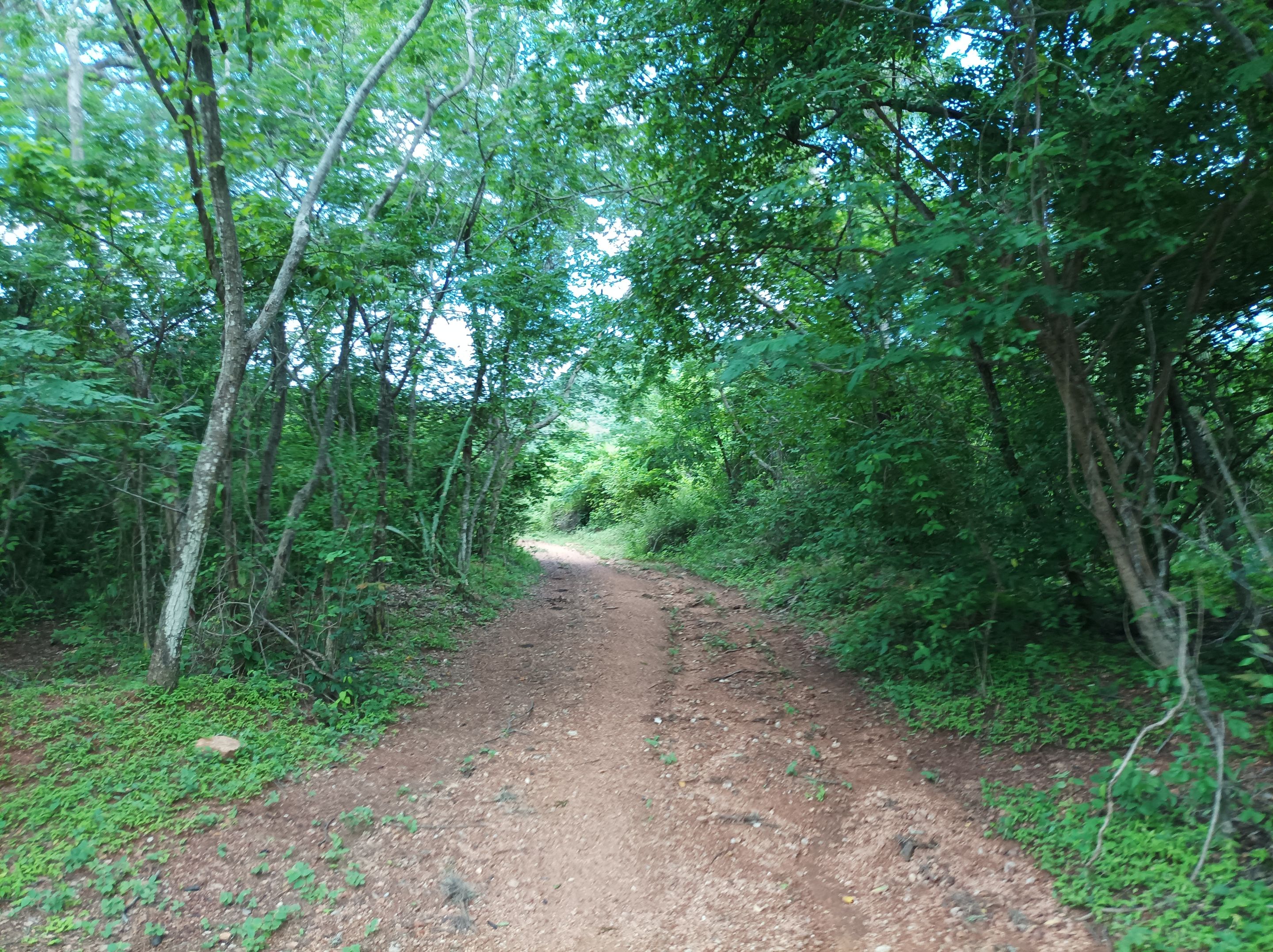
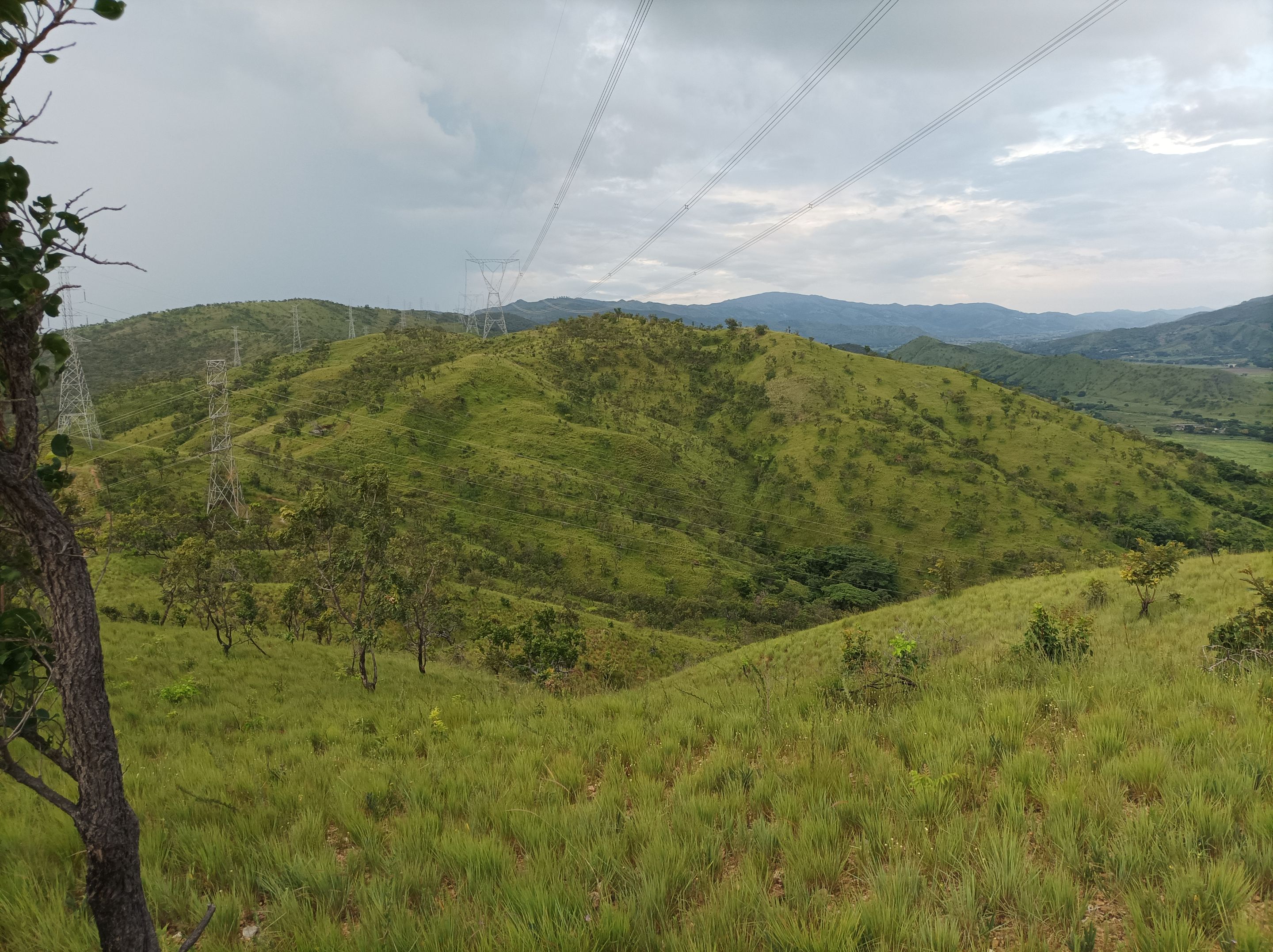
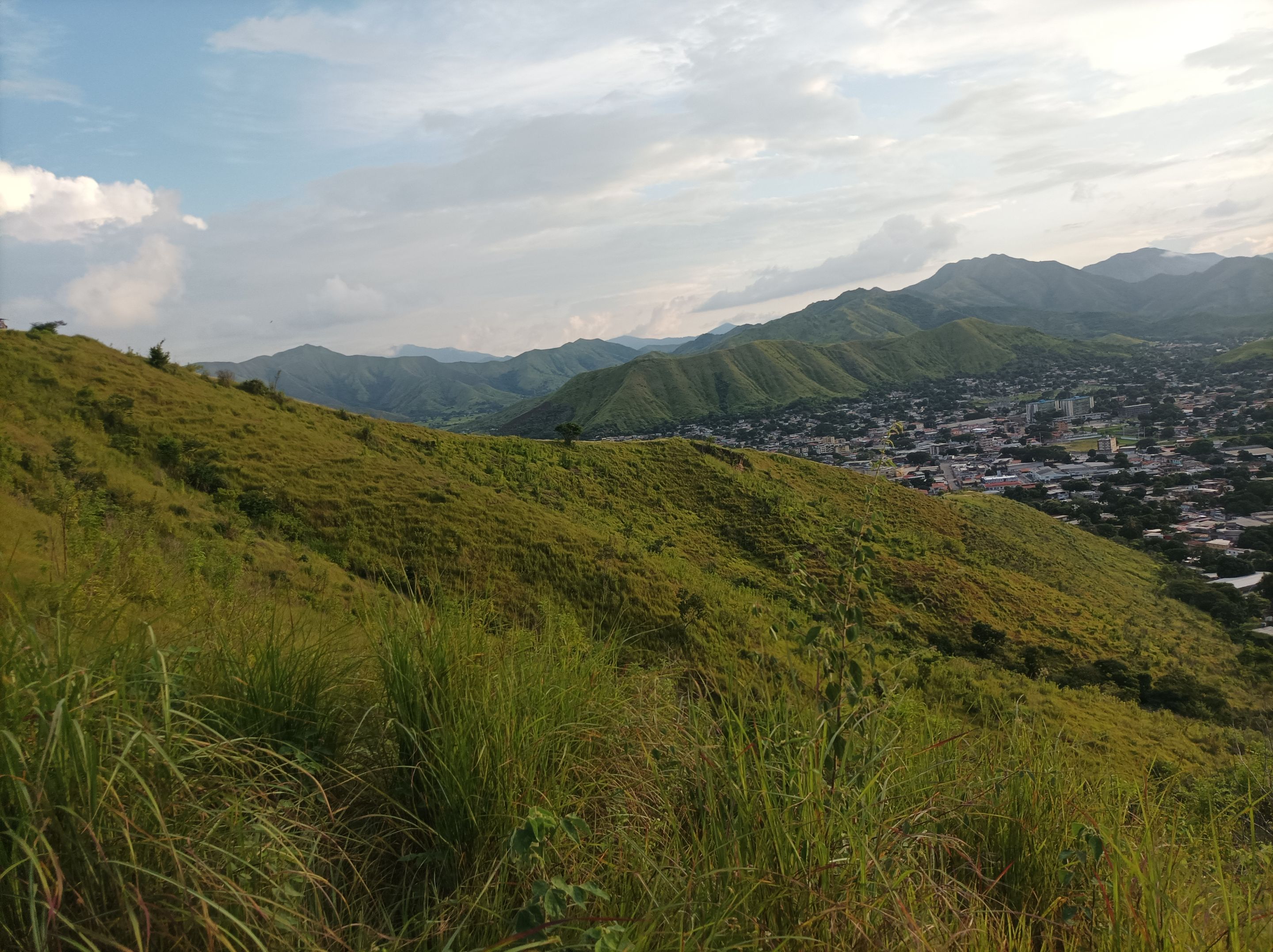
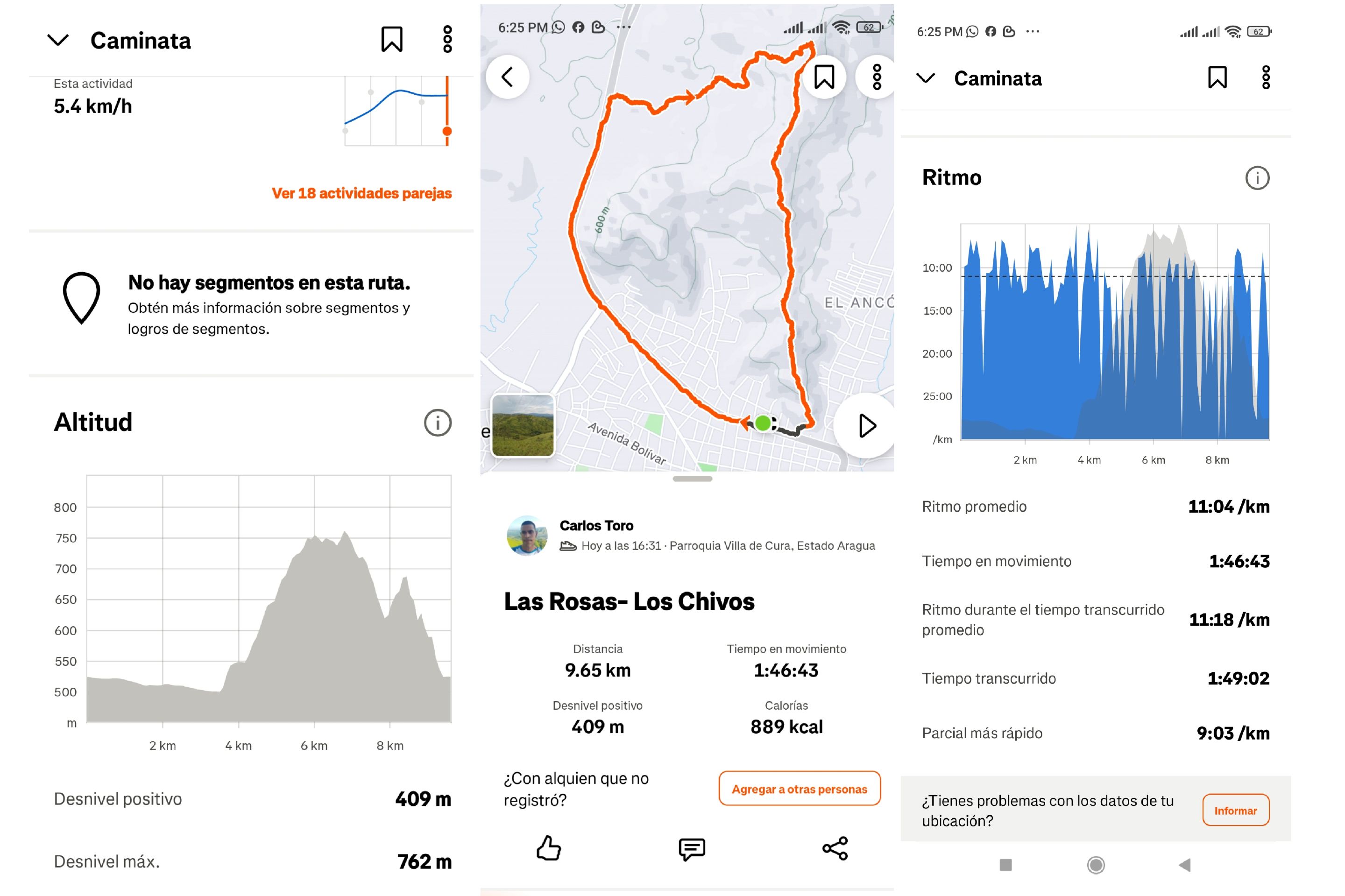
Una vez que terminé de hidratarme, continúe avanzando, ya me quedaba todavía 3.7K , estos últimos el recorrido es variado con parte plana y varias subidas, la primera está en la parte para llegar a La Piedra y la otra en el desvío de Las Mercedes, que es la más empinada, luego llegué a la tercera montaña, para continuar bajando y terminar de salir de esta montaña, para llegar a la avenida Lisandro con un tiempo final de 1 hora 49 minutos, con una distancia de 9.65K, con un desnivel positivo 409 m y un desnivel máximo de 762 m, registrado en Strava.
Once I finished hydrating, I continued moving forward, I still had 3.7K left, the last ones the route is varied with a flat part and several climbs, the first is in the part to get to La Piedra and the other in the detour of Las Mercedes, which is the steepest, then I reached the third mountain, to continue going down and finish leaving this mountain, to reach Lisandro Avenue with a final time of 1 hour 49 minutes, with a distance of 9.65K, with a positive slope of 409 m and a maximum slope of 762 m, recorded on Strava.
Espero que les haya gustado, nos vemos en una próxima publicación.
I hope you liked it, see you in a next post.
Fotografías: Teléfono Redmi Note 10 Portada realizada en APP GridArt Logos utilizados de Hive y de @fulldeportes Traductor utilizado: Traductor de Google
Photos: Redmi Note 10 Phone Cover made in The APP GridArte Used logos of Hive and @fulldeportes Translator used: Translator used: Google Translate
 Vote la-colmena for witness By @ylich