 Cabe destacar que esta semana no he tenido tiempo de entrenar, ya que estuve un poco ocupado con la fiesta de los quince años de mi hija, gracias a Dios, todo ne salió bien. El día de hoy me desperté temprano, realicé mis ejercicios de calentamiento y sali a las 5:59 am desde la avenida Lisandro Hernández, a un ritmo suave, para después adentrarme a la montaña por la primera entrada, en la esquina donde está la talabartería Dorky.
It's worth noting that I haven't had time to train this week because I was a little busy with my daughter's quinceanera party. Thankfully, everything went well. Today, I woke up early, did my warm-up exercises, and set off at 5:59 a.m. from Lisandro Hernández Avenue, at a gentle pace. Then, I entered the mountain through the first entrance, on the corner where Dorky's saddlery is located.
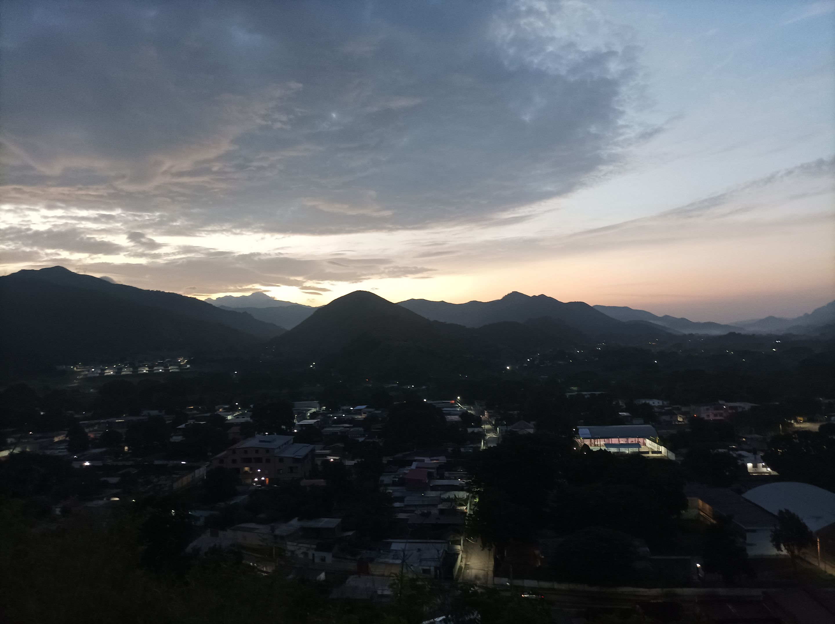
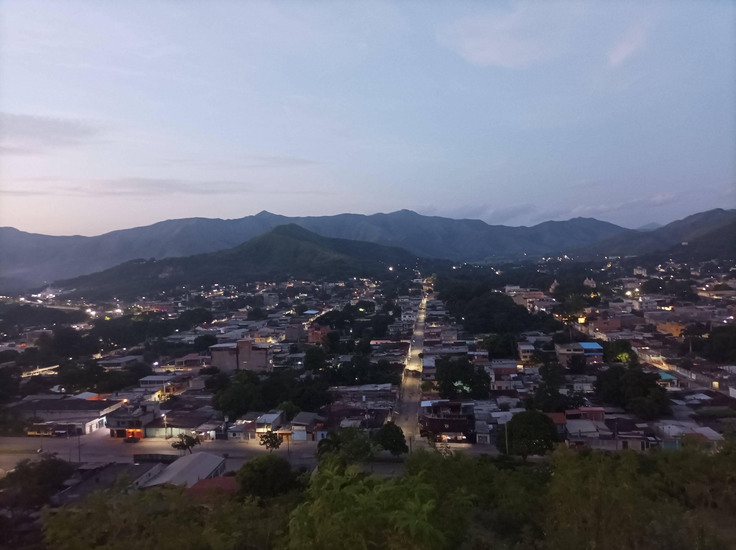
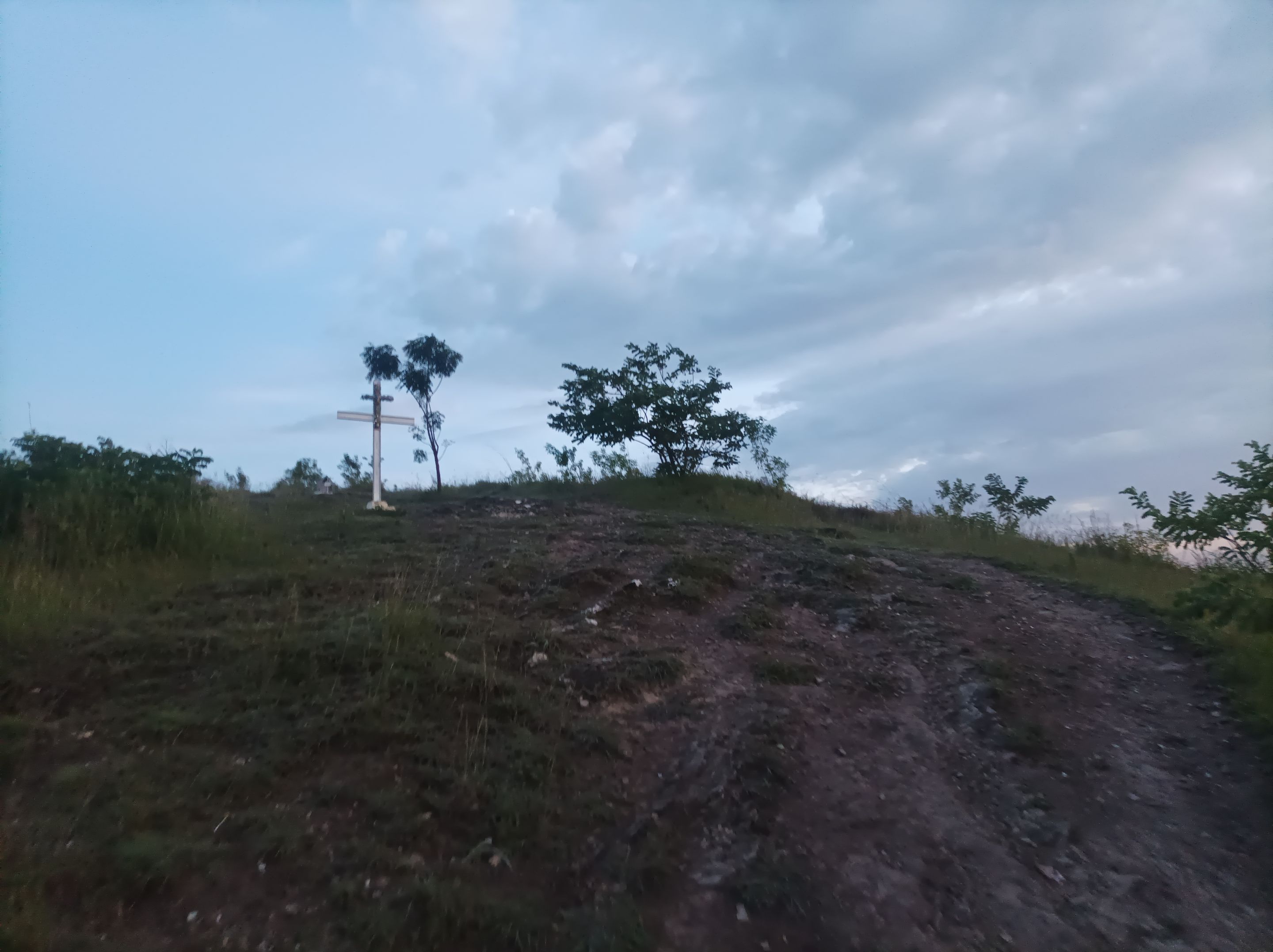
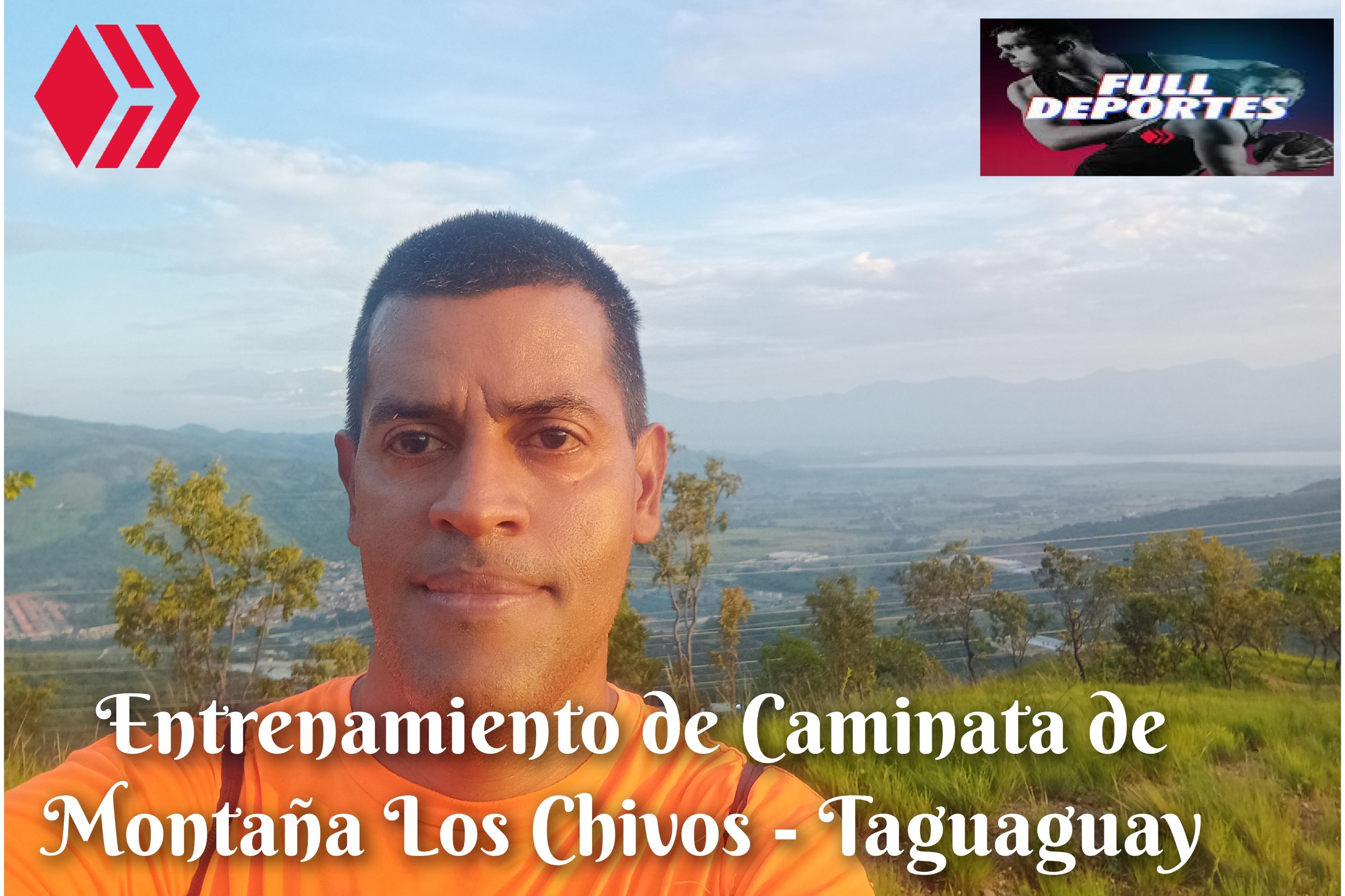
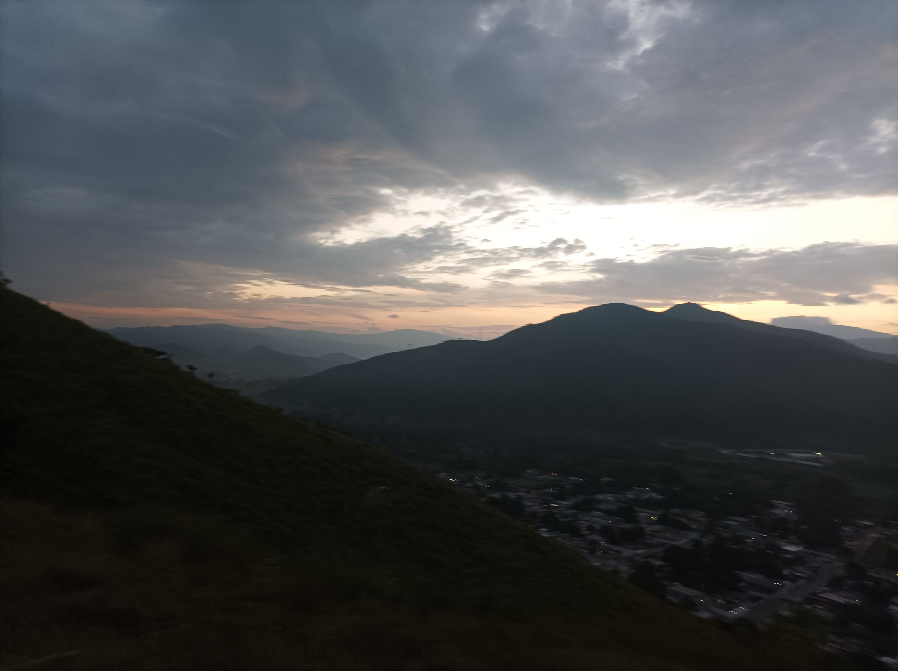
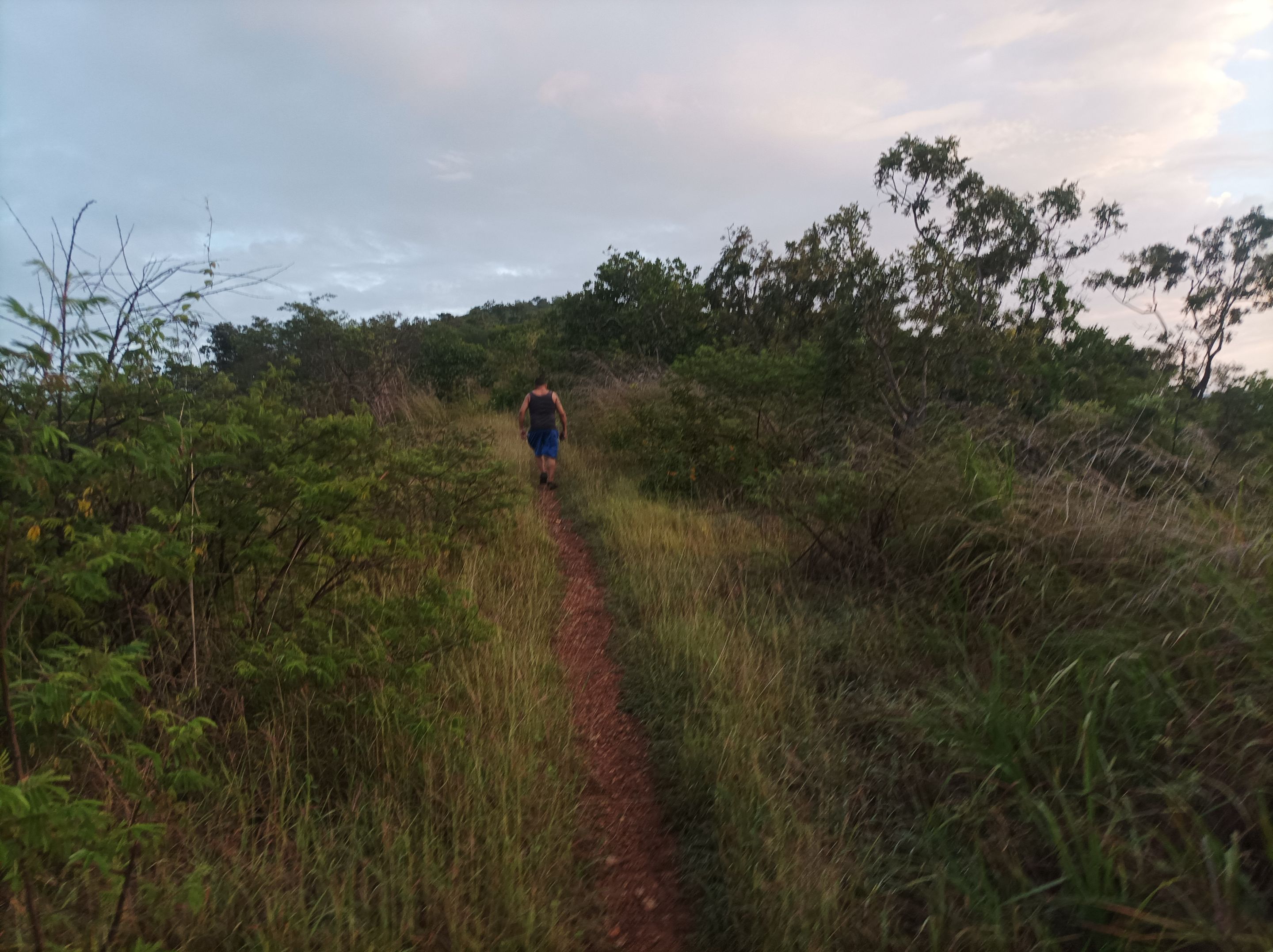
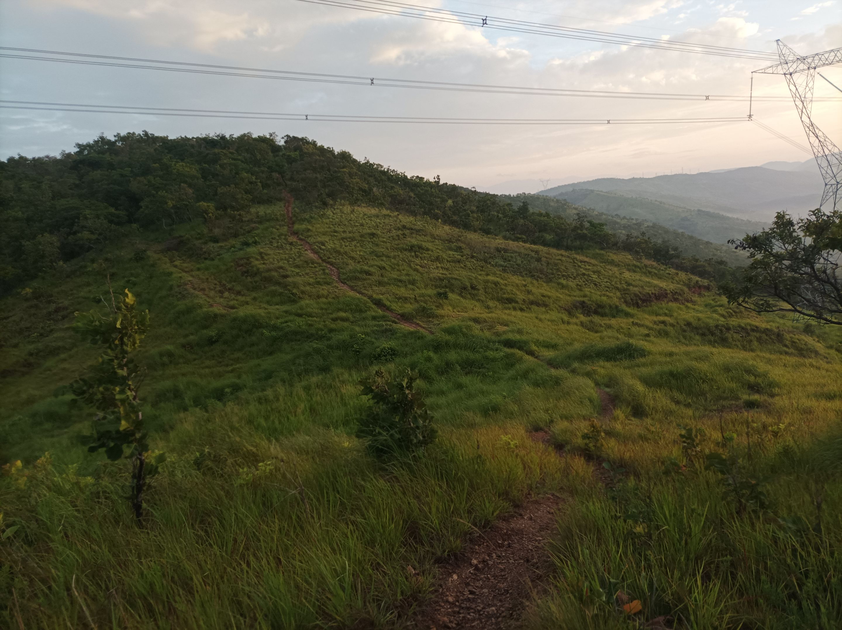
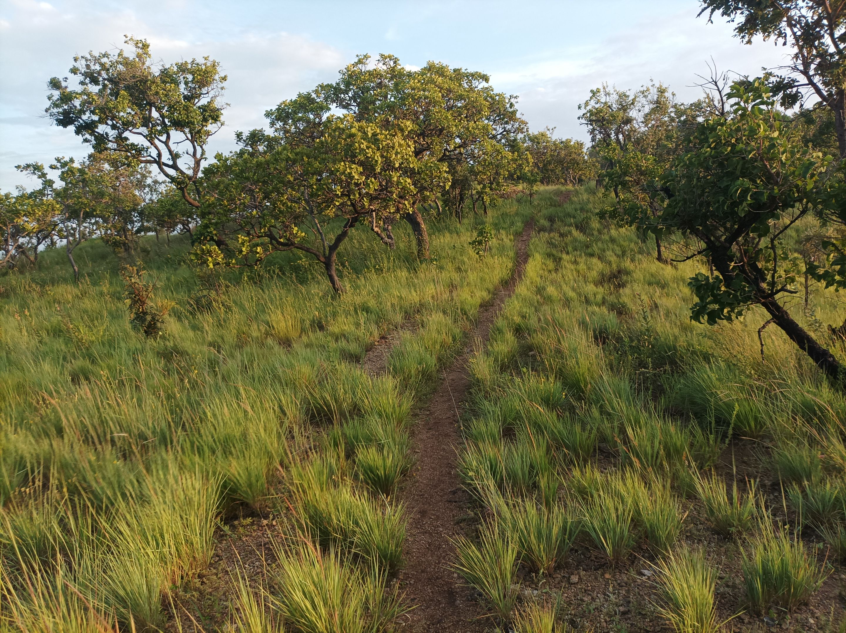
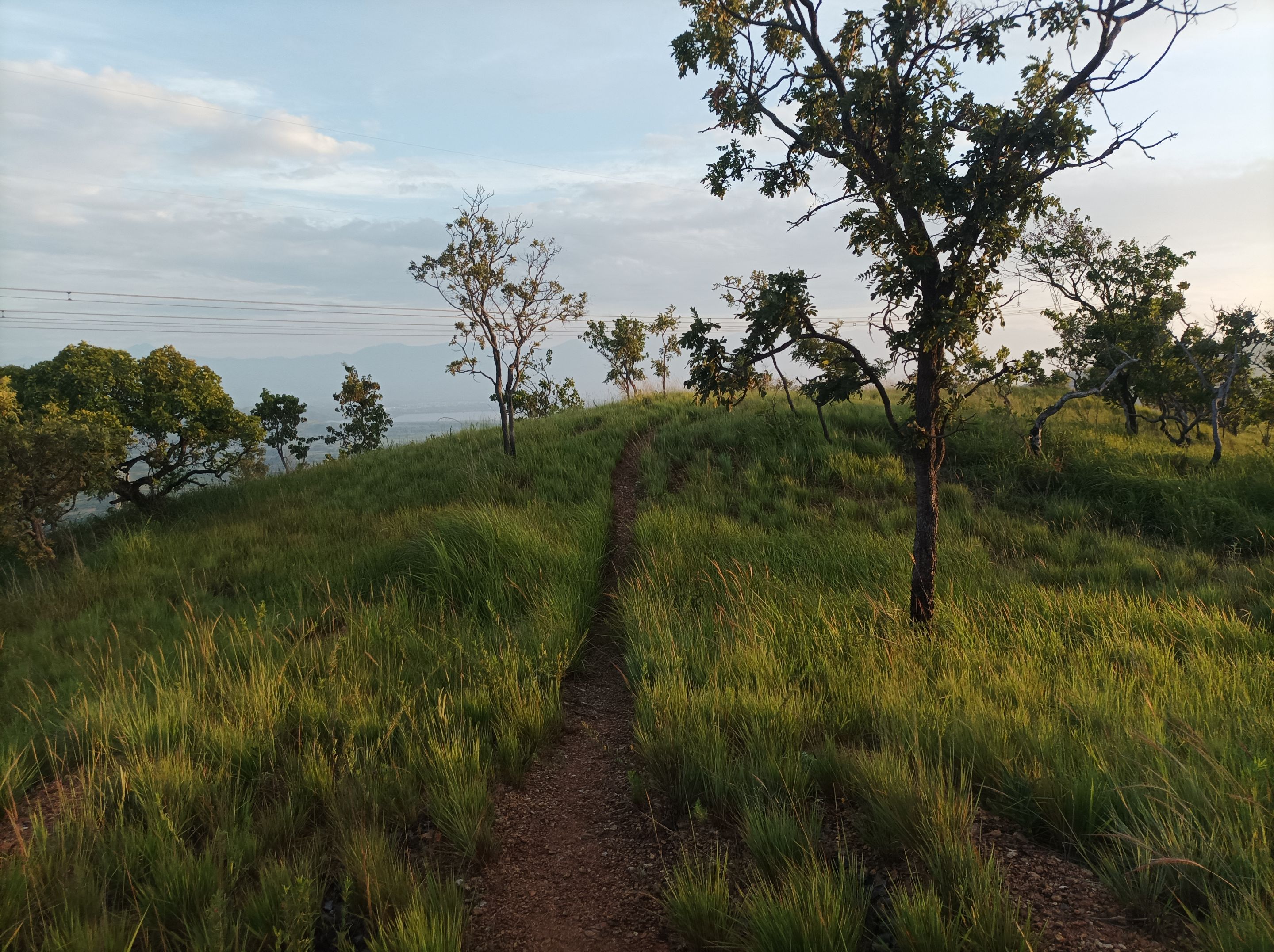
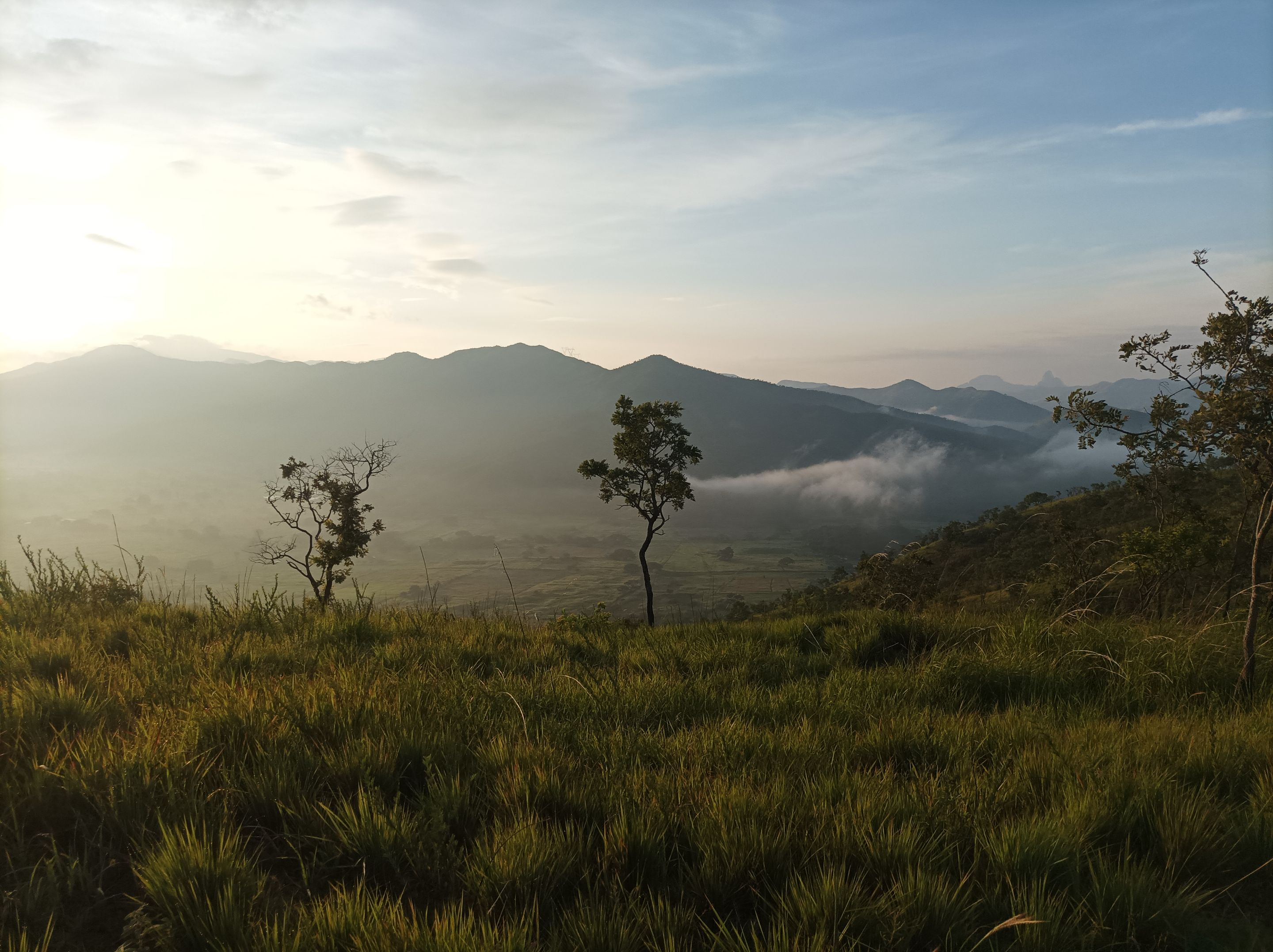
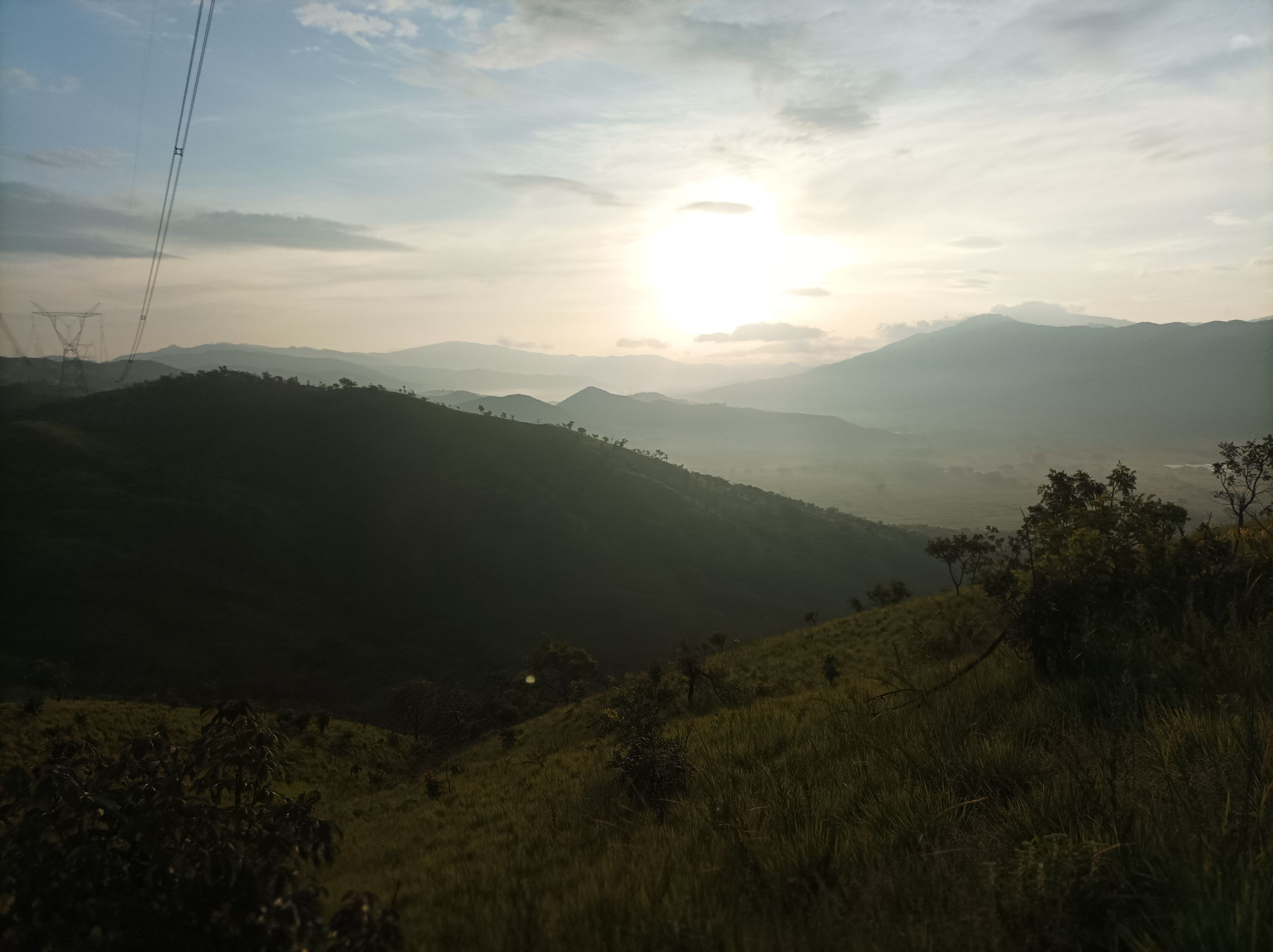
Asimismo, pude notar que había llovido un poco porque estaba húmedo el camino, comencé a subir y al llegar a la cima de la primera montaña, me detuve unos segundos para tomar algunas fotografías, del bello amanecer en esta comunidad. Continúe avanzando, tratando de mantener el mismo paso, para continuar ascendiendo a la siguiente montaña. Por cierto el día de mañana se va a realizar la caminata nocturna en este cerro, saliendo de la plaza Miranda, para subir el cerro hasta la tercera subida.
I could also notice that it had rained a little because the path was damp. I began to climb, and upon reaching the top of the first mountain, I stopped for a few seconds to take some photographs of the beautiful sunrise over this community. I continued forward, trying to maintain the same pace, to continue ascending to the next mountain. By the way, tomorrow we will be hiking at night on this hill, leaving from Plaza Miranda and climbing the hill to the third climb.
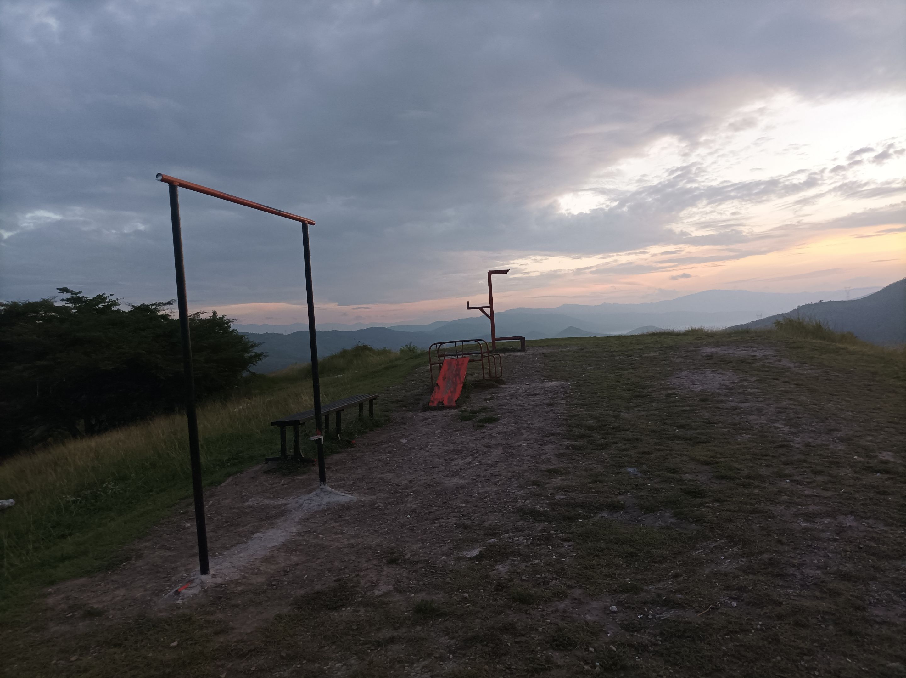
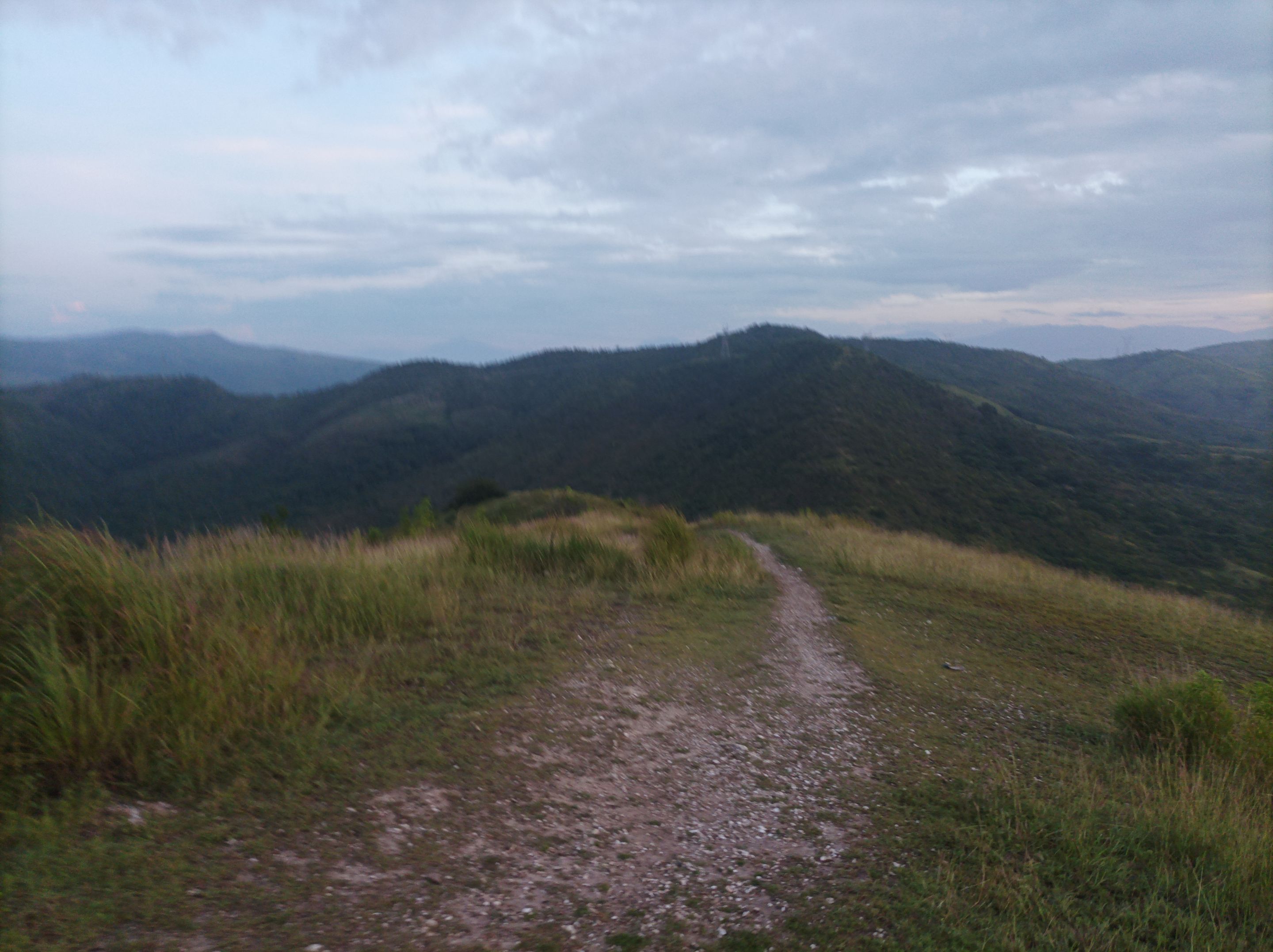
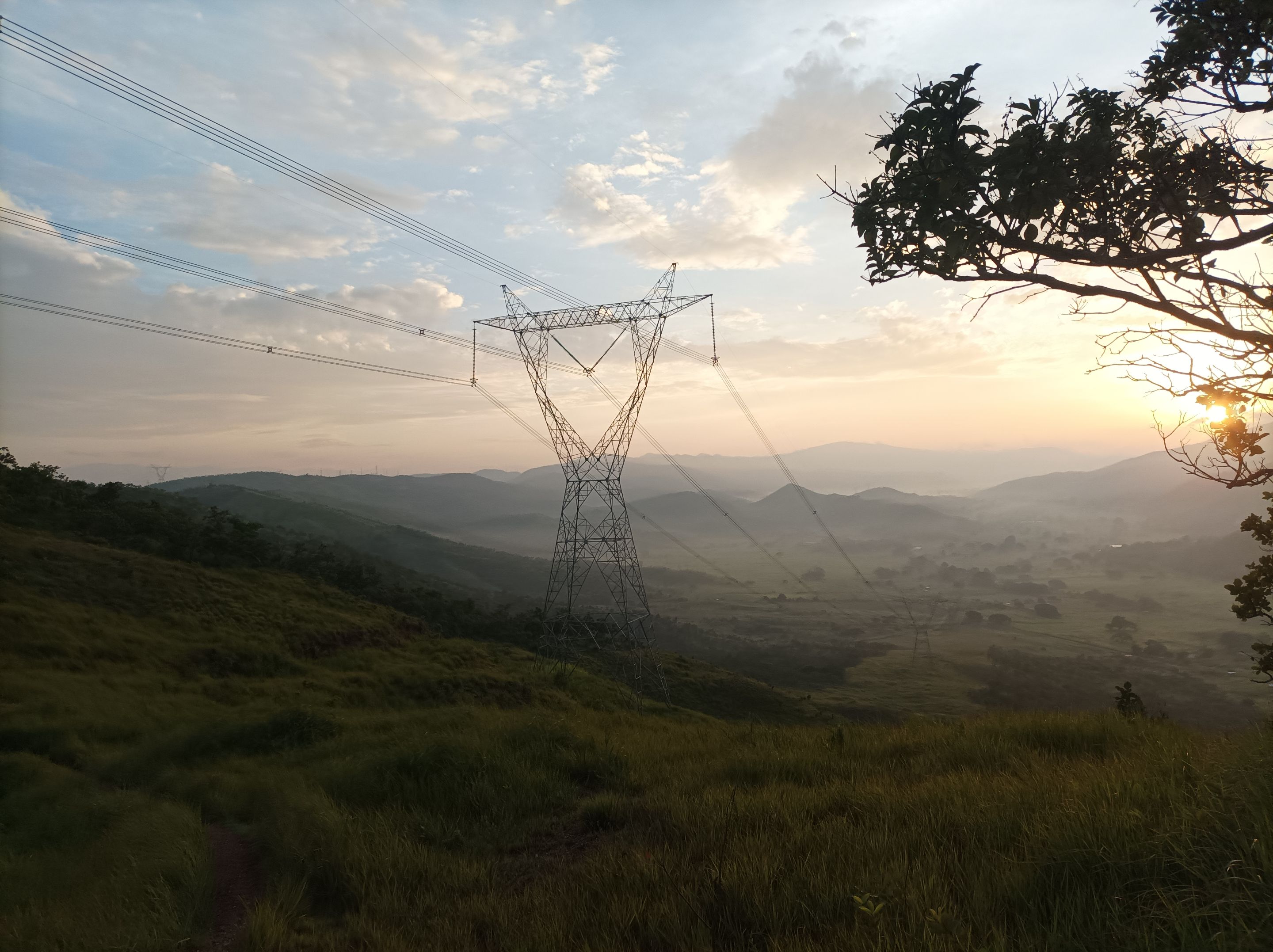
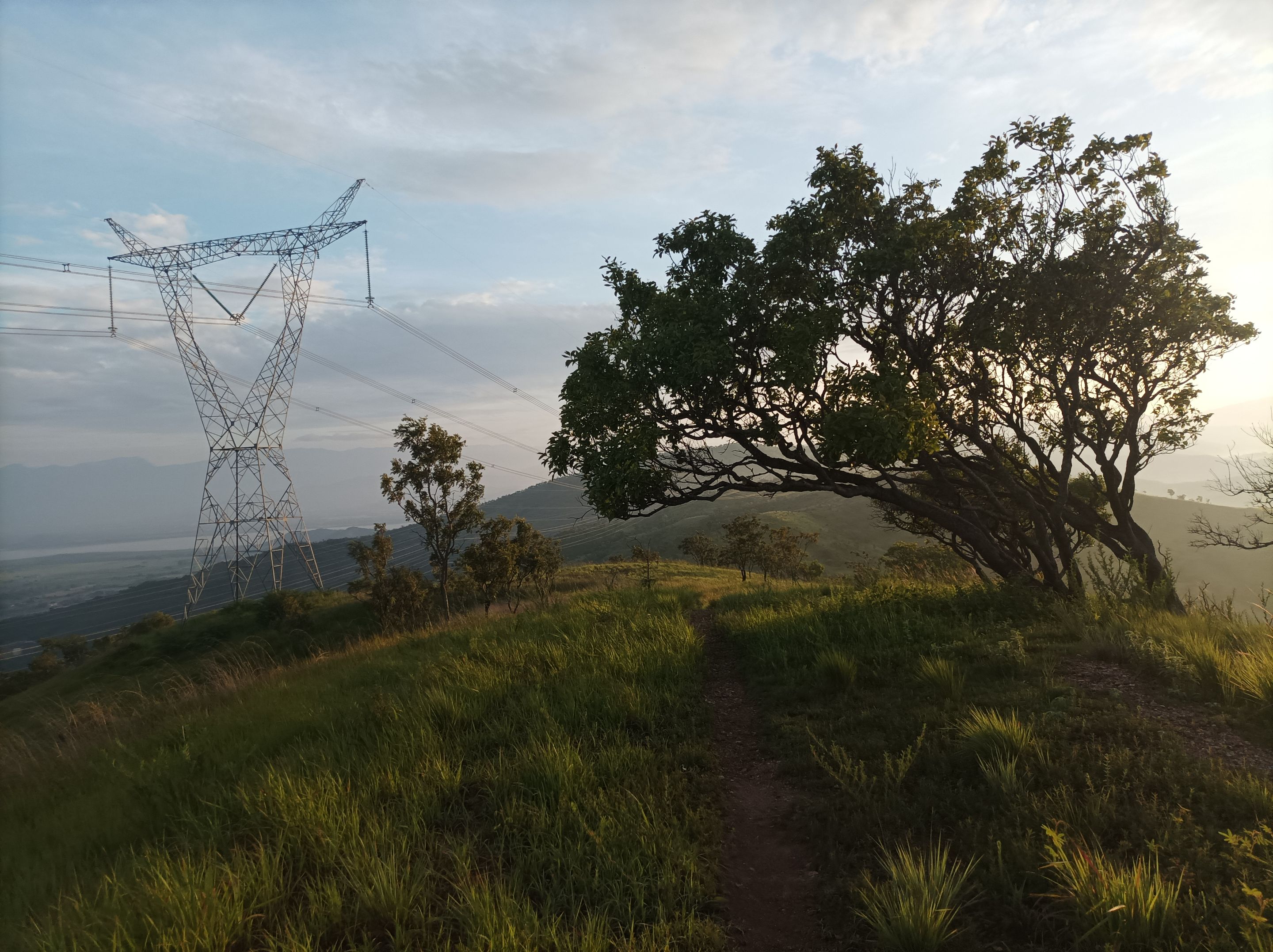
Después, llegué a la cima de la tercera montaña, donde están las máquinas de ejercicios con un tiempo de 18 minutos. Luego seguí avanzando, para comenzar a bajar y llegar cerca del sector de Las Mercedes, para seguir caminando, en esta parte me encontré con un amigo caminante, que también estaba entrenando, iba delante de mí y después lo alcancé en plena subida. Llegué a Las Torres y después continúe avanzando para pasar por La Piedra y llegar finalmente a la montaña donde podemos ver la laguna de Taguaguay y la empresa Puro Lomo.
Afterwards, I reached the top of the third mountain, where the exercise machines are, with a time of 18 minutes. I then continued on, beginning the descent and reaching the Las Mercedes sector. I continued walking. At this point, I met a friend who was also training and was ahead of me, and I later caught up with him mid-ascent. I reached Las Torres and then continued on, passing through La Piedra and finally reaching the mountain where we can see Taguaguay Lagoon and the Puro Lomo company.
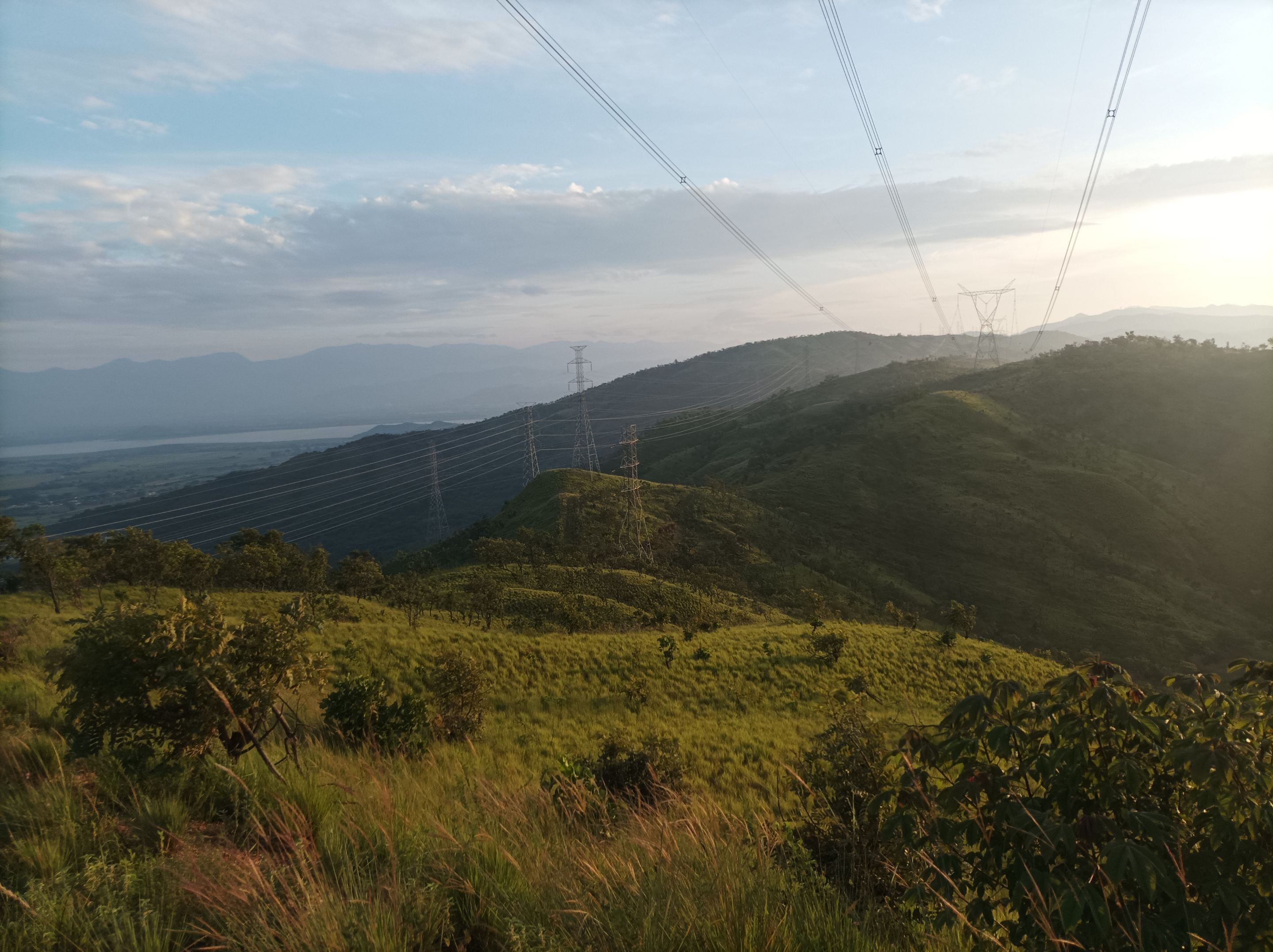
Asimismo, pude observar, que la aplicación Strava estuvo marcando la distancia errada, hasta esta parte son 3.76K y hoy registro 7K, con un tiempo de 50 minutos. En esta parte tomé algunas fotografías y después me regresé por el mismo camino. De regreso si pude observar varias personas que estaban entrenando, pero que salieron más tarde.
I also noticed that the Strava app was incorrectly marking the distance. Up to this point, it's 3.76 km, and today I clocked 7 km, with a time of 50 minutes. At this point, I took some photos and then returned along the same route. On the way back, I noticed several people who were training but had left later.
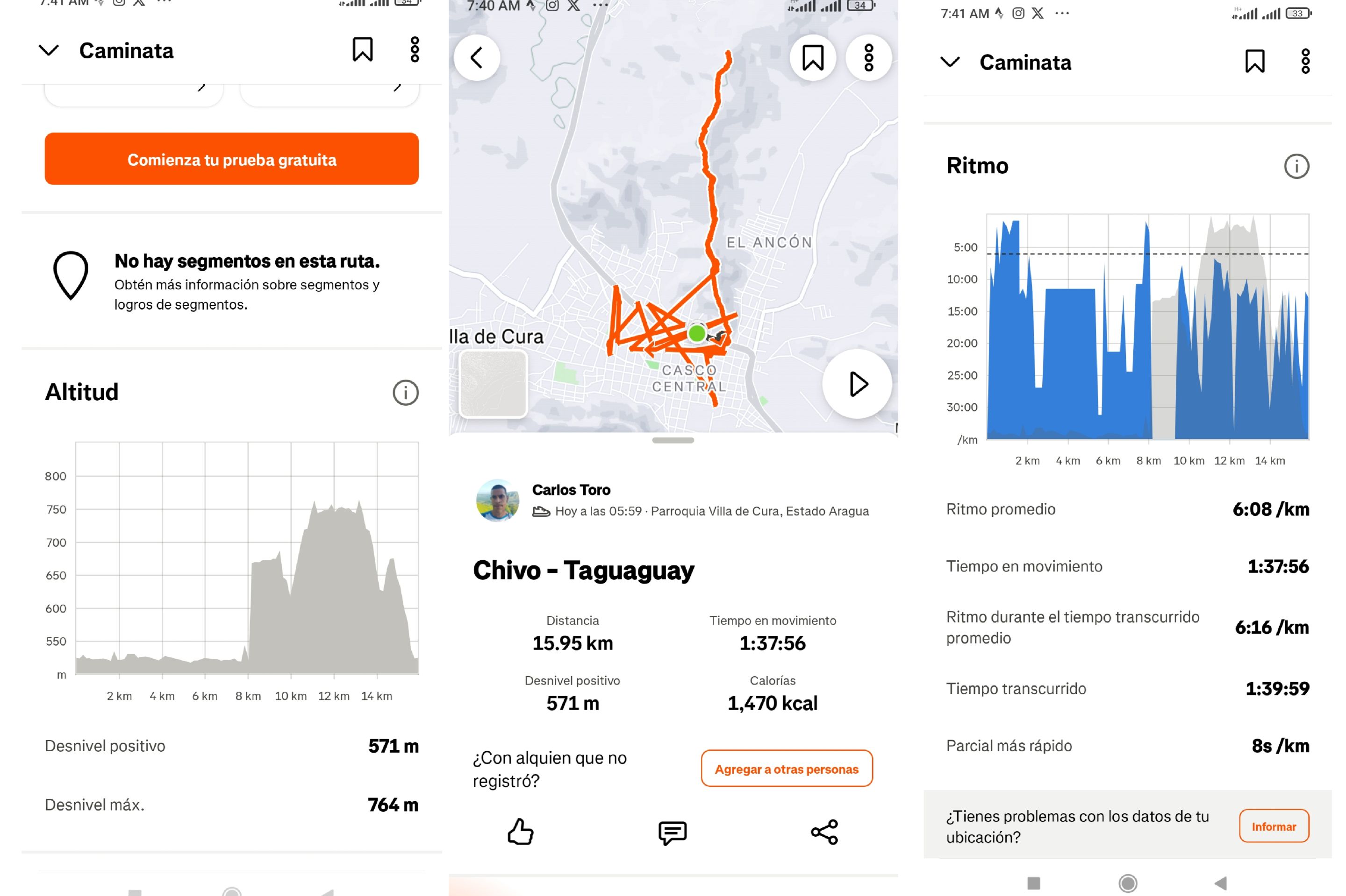
Finalmente, terminé de descender de la montaña, para llegar nuevamente al mismo punto de partida en la avenida Lisandro Hernández, con un tiempo de 1 hora 39 con 59 segundos, con un desnivel positivo de 571 m y un desnivel máximo 764 m, registrado en la aplicación Strava.
Finally, I finished descending the mountain, arriving back at the same starting point on Lisandro Hernández Avenue, with a time of 1 hour 39 and 59 seconds, with a positive elevation gain of 571 m and a maximum elevation gain of 764 m, recorded on the Strava application.
Echa un vistazo a mi caminata en Strava: https://strava.app.link/PT1K3kpQeWb
Check out my hike on Strava: https://strava.app.link/PT1K3kpQeWb
Espero que les haya gustado, nos vemos en una próxima publicación.
I hope you liked it, see you in a next post.
Fotografías: Teléfono Redmi Note 10 Portada realizada en APP GridArt Logos utilizados de Hive y de @fulldeportes Traductor utilizado: Traductor de Google
Photos: Redmi Note 10 Phone Cover made in The APP GridArte Used logos of Hive and @fulldeportes Translator used: Translator used: Google Translate
 Vote la-colmena for witness By @ylich