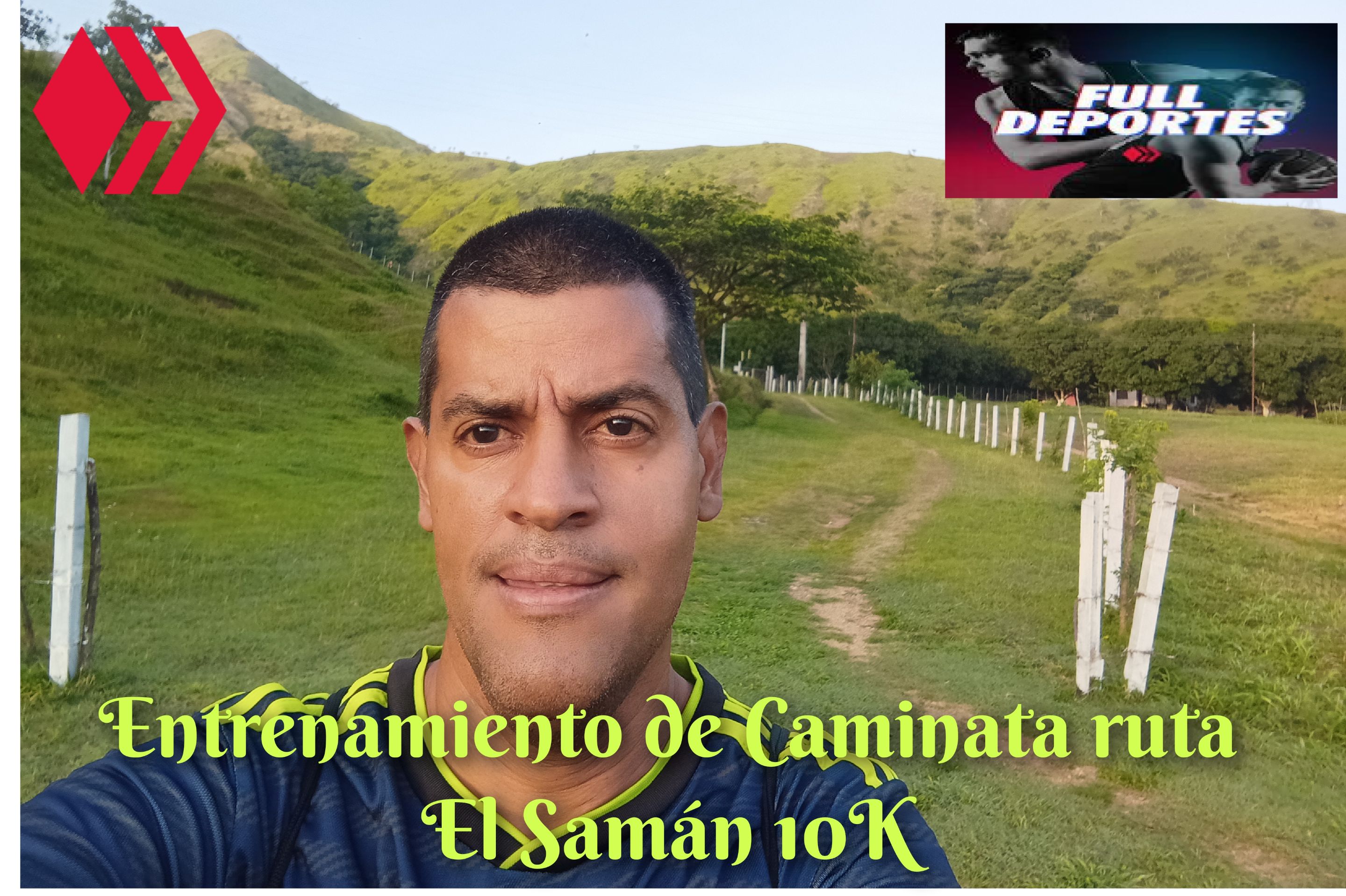
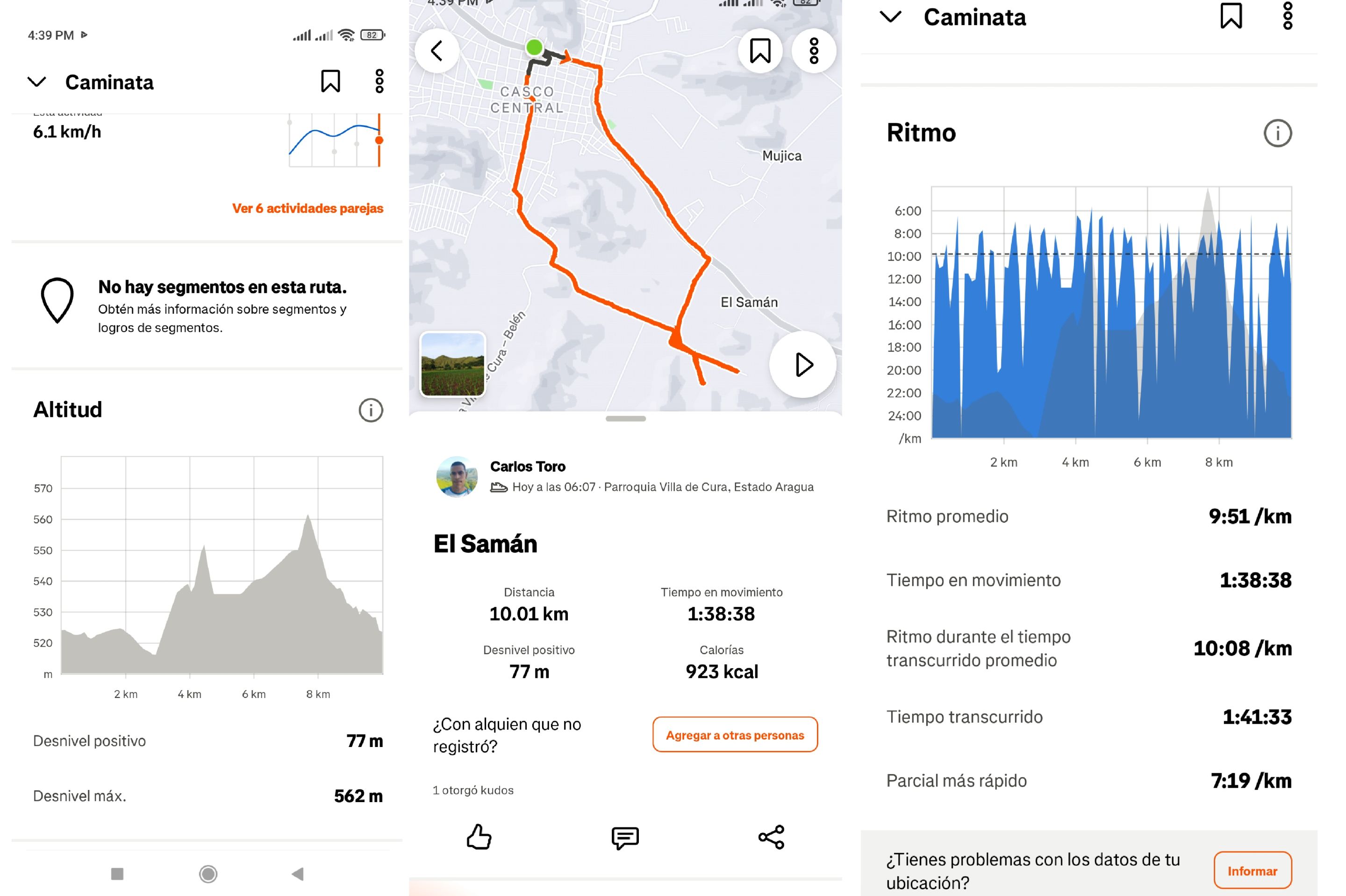
 Cabe destacar que hoy inicié mi entrenamiento de caminata a la 6:07 am, comenzando desde la avenida Lisandro Hernández, a un ritmo suave ya que el día miércoles subi el cerro a un paso fuerte. En los entrenamientos es importante variar el paso en cada recorrido. Una de las cosas que pude observar es que a esta hora ya está claro, en otra ocasiones costaba aclarar. Al pasar por frente del monumento de Ezequiel Zamora, llevaba un tiempo de 21 minutos con una distancia de 2K.
It's worth noting that today I started my walking training at 6:07 a.m., starting from Lisandro Hernández Avenue at a slow pace, since I had already climbed the hill at a brisk pace on Wednesday. In training, it's important to vary your pace with each run. One thing I noticed was that at this time of day, it was already clear, whereas on other occasions, it was difficult to clear. As I passed the Ezequiel Zamora monument, I had a time of 21 minutes for a distance of 2K.
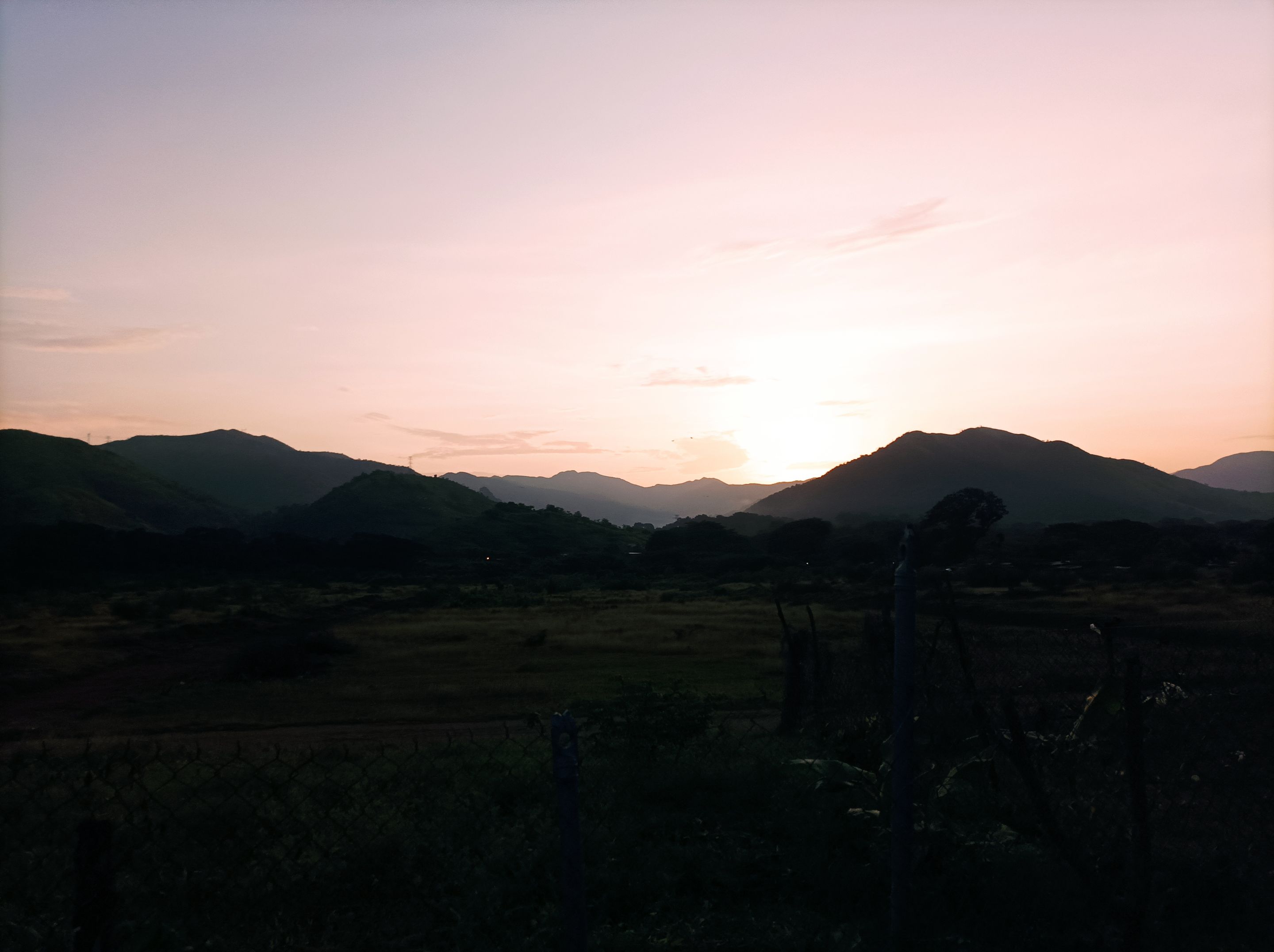
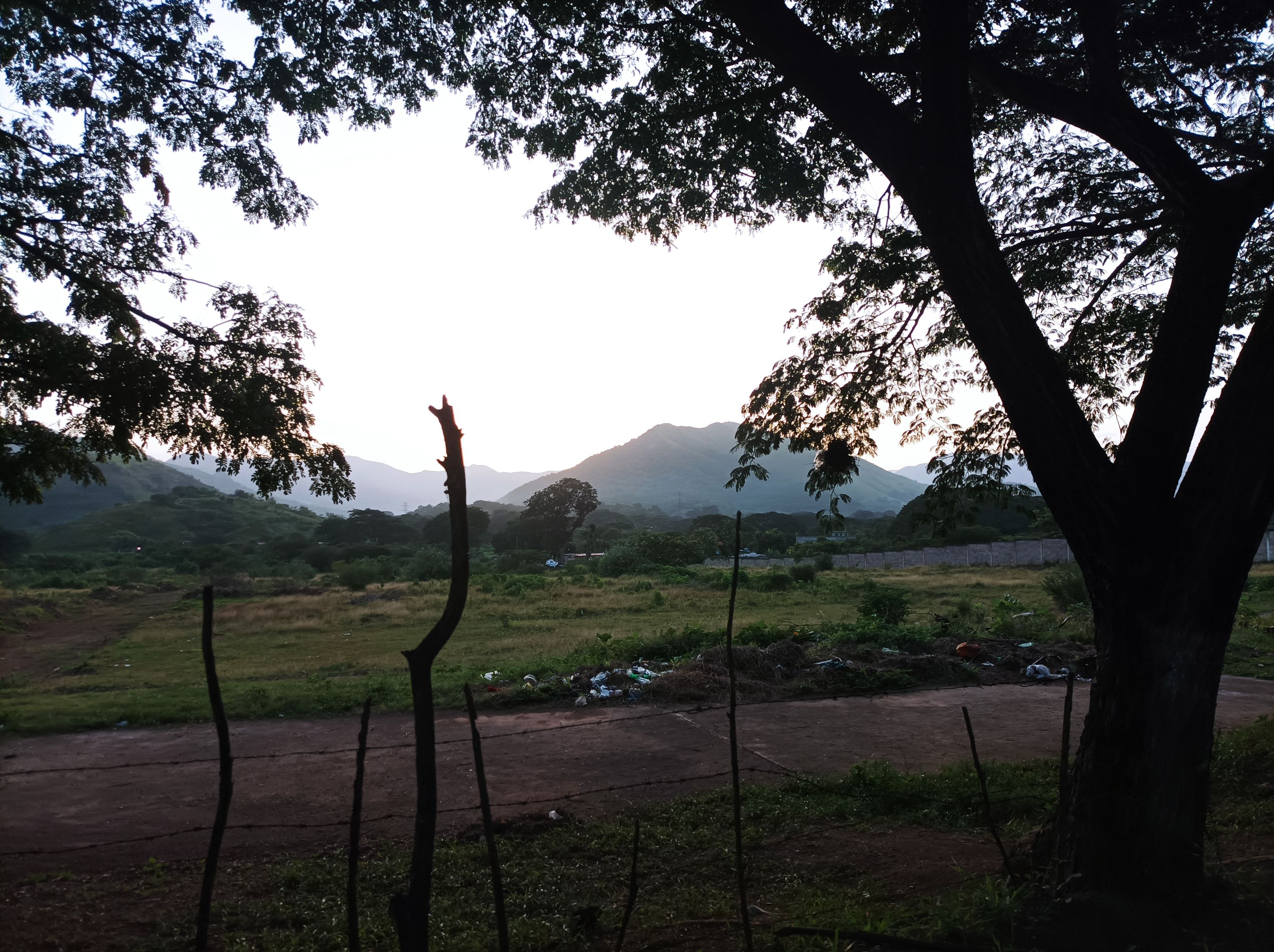
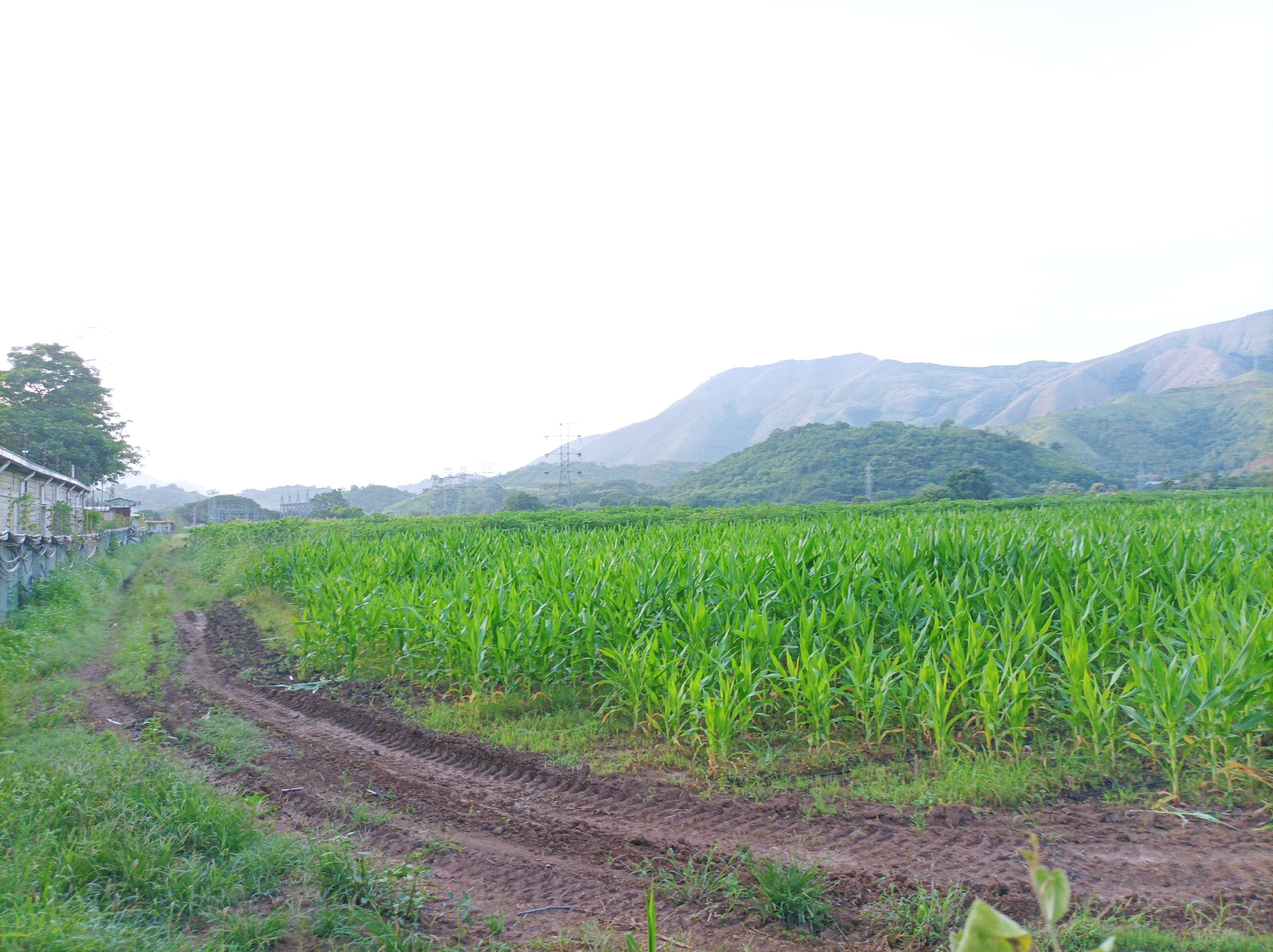
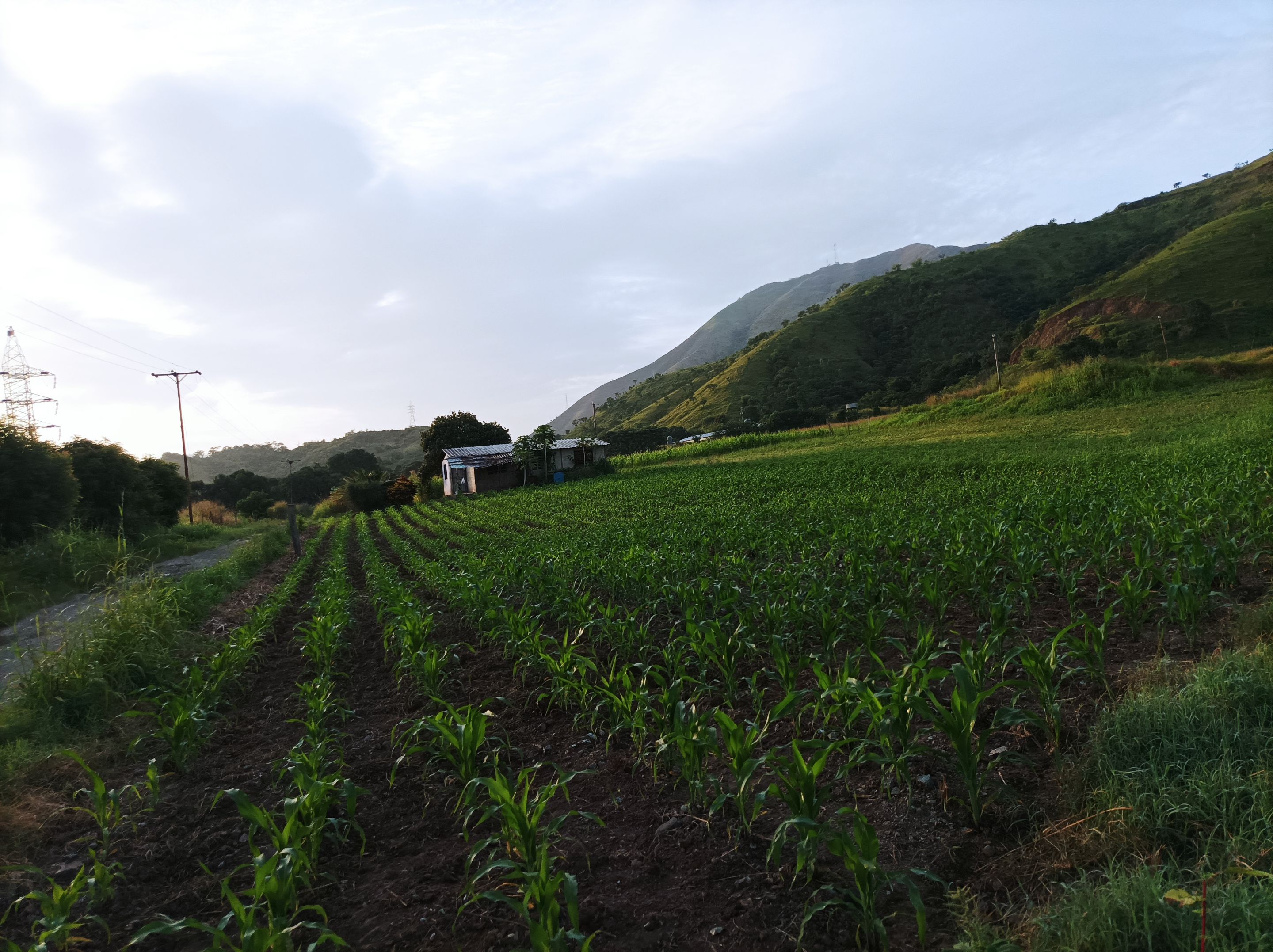
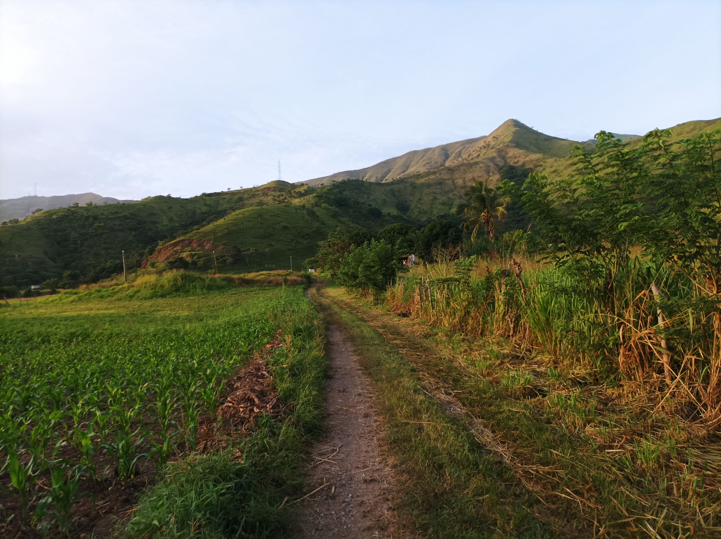
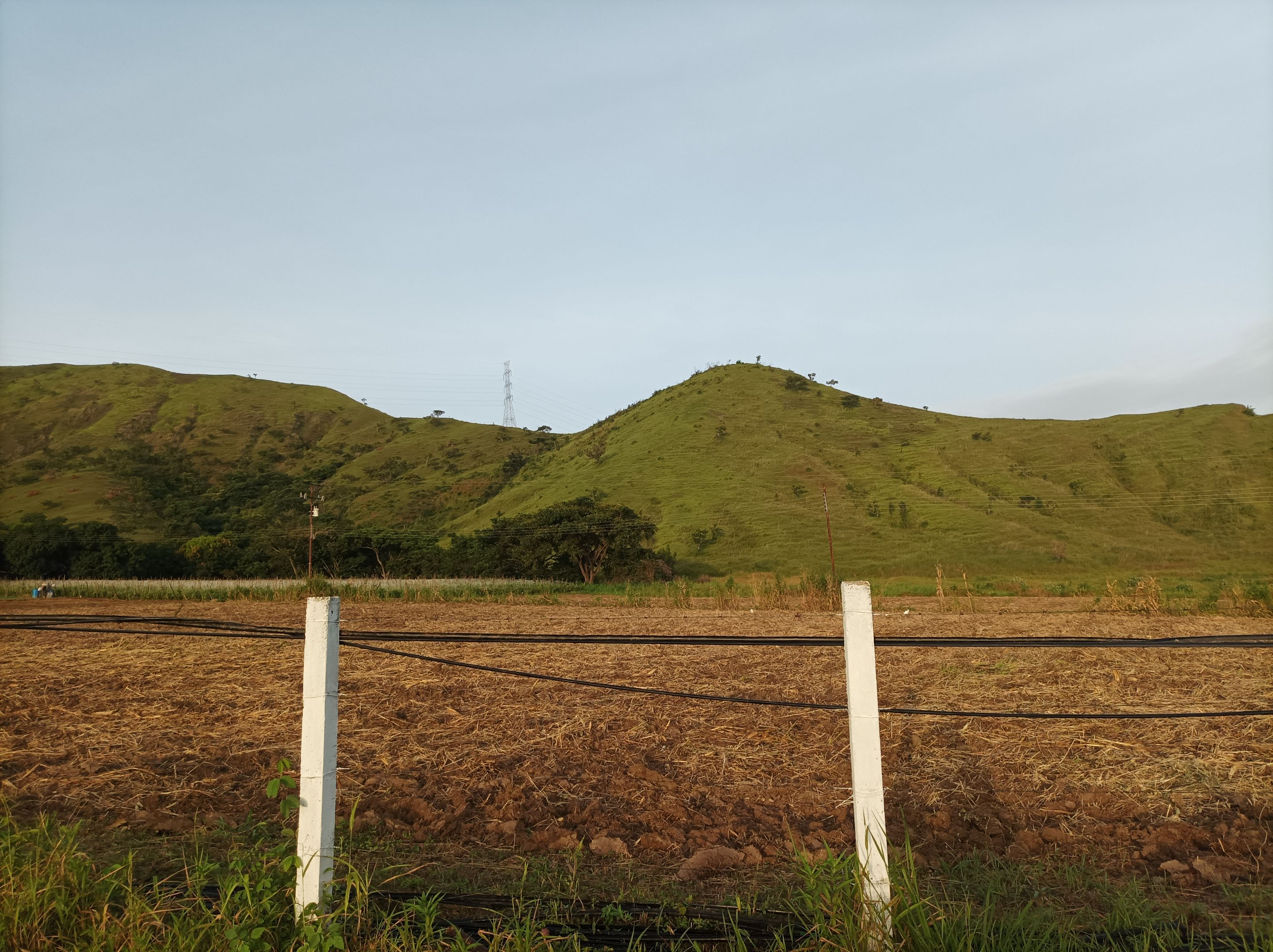
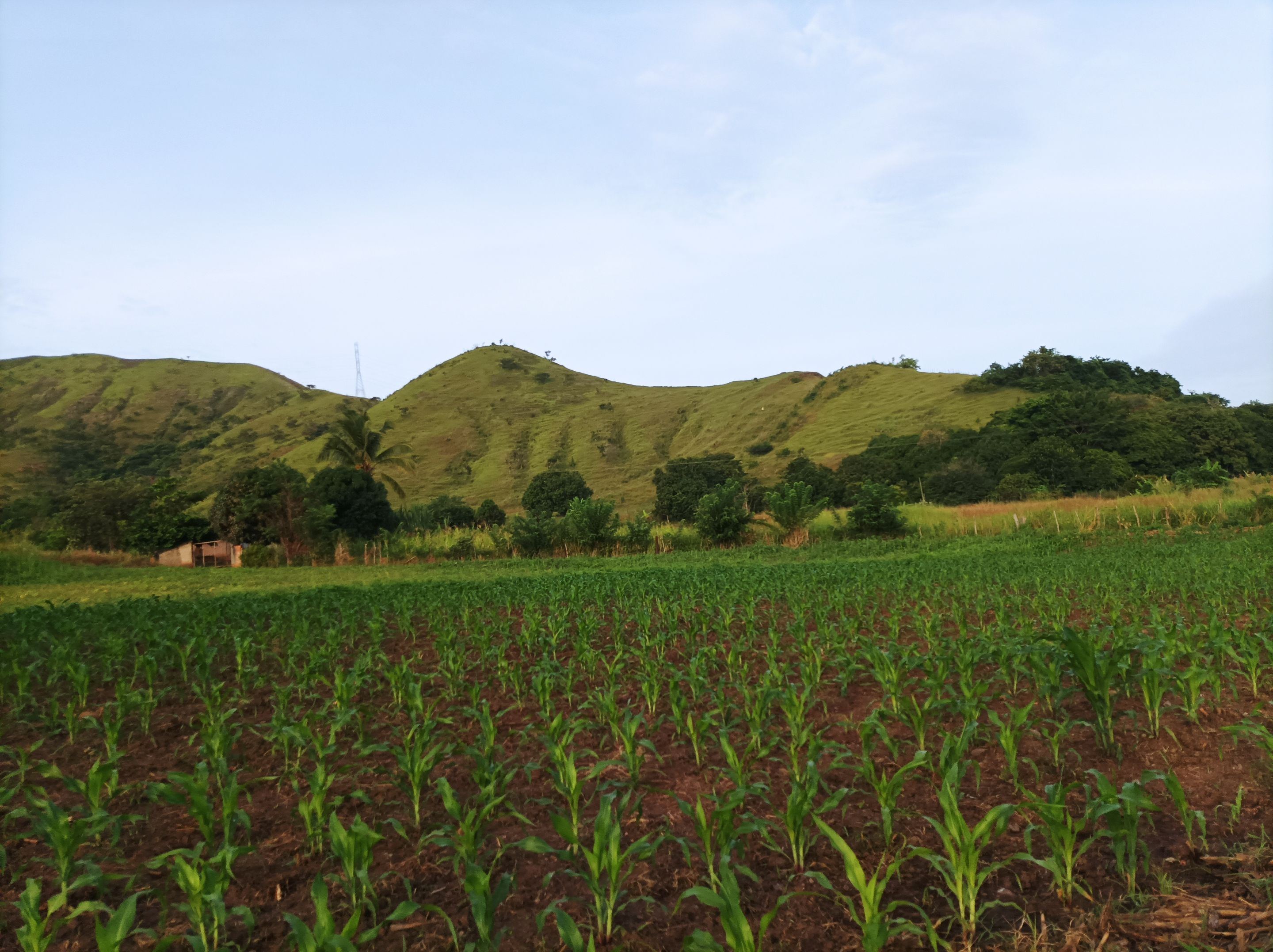
Asimismo, comencé adentrarme al asentamiento campesino, observando en los alrededores varias siembra de maíz, continúe mi recorrido por toda una recta de cuya superficie es de asfalto, al pasar la segunda esquina, donde comienza la carretera de tierra, para llegar a la montaña que está detrás del cerro Las Antenas. El verdor de la montaña se pudo apreciar en esta ruta. Una vez que llegue al final de la carretera, me detuve para hidratarme y luego me regresé para recorrer 300 m de una nueva ruta.
I then began my journey into the rural settlement, observing several corn fields in the surrounding area. I continued along a straight stretch of paved road, passing the second corner where the dirt road begins, to reach the mountain behind Las Antenas Hill. The greenery of the mountain could be appreciated along this route. Once I reached the end of the road, I stopped to hydrate and then turned back to walk 300 meters along a new route.
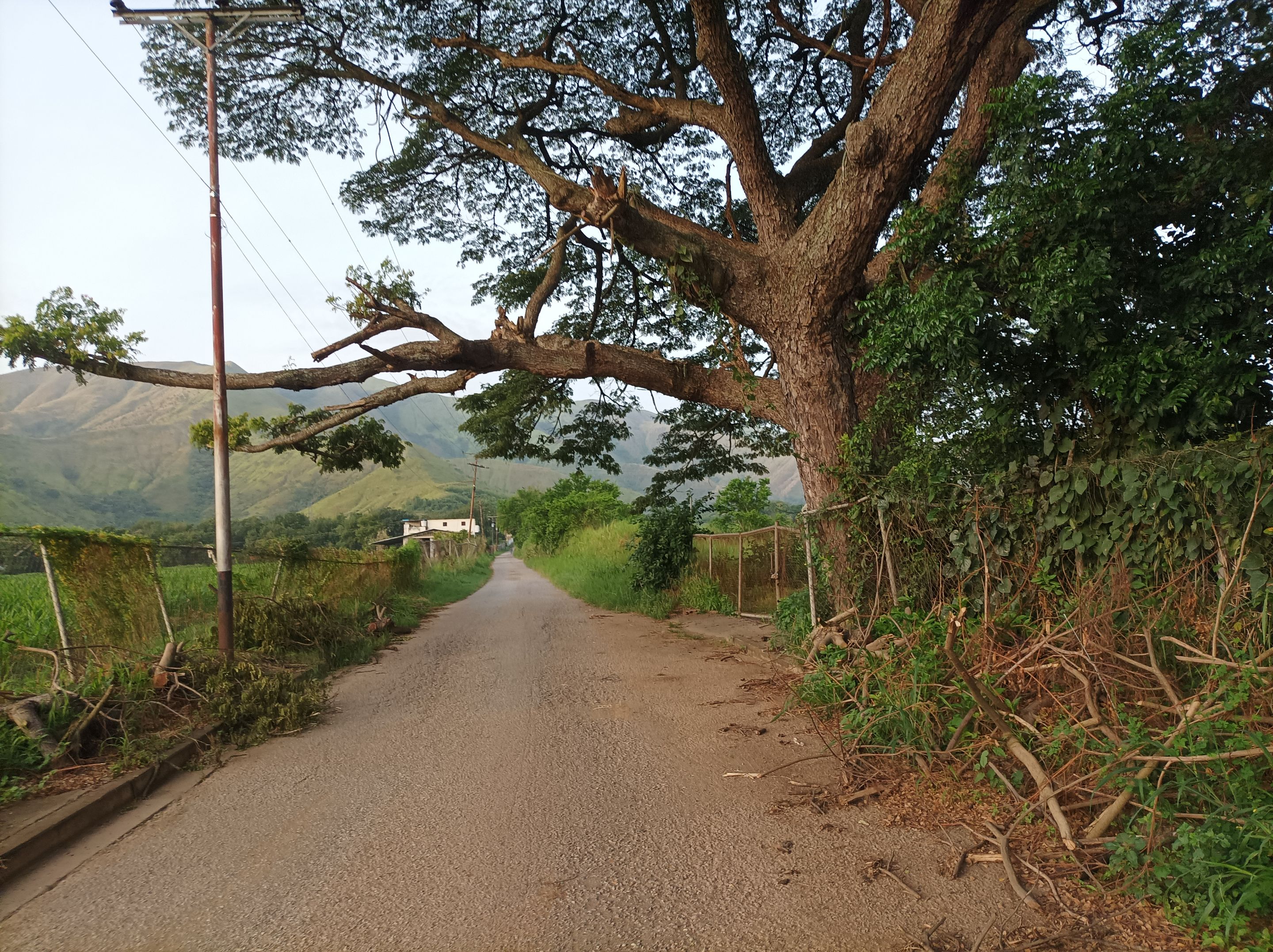
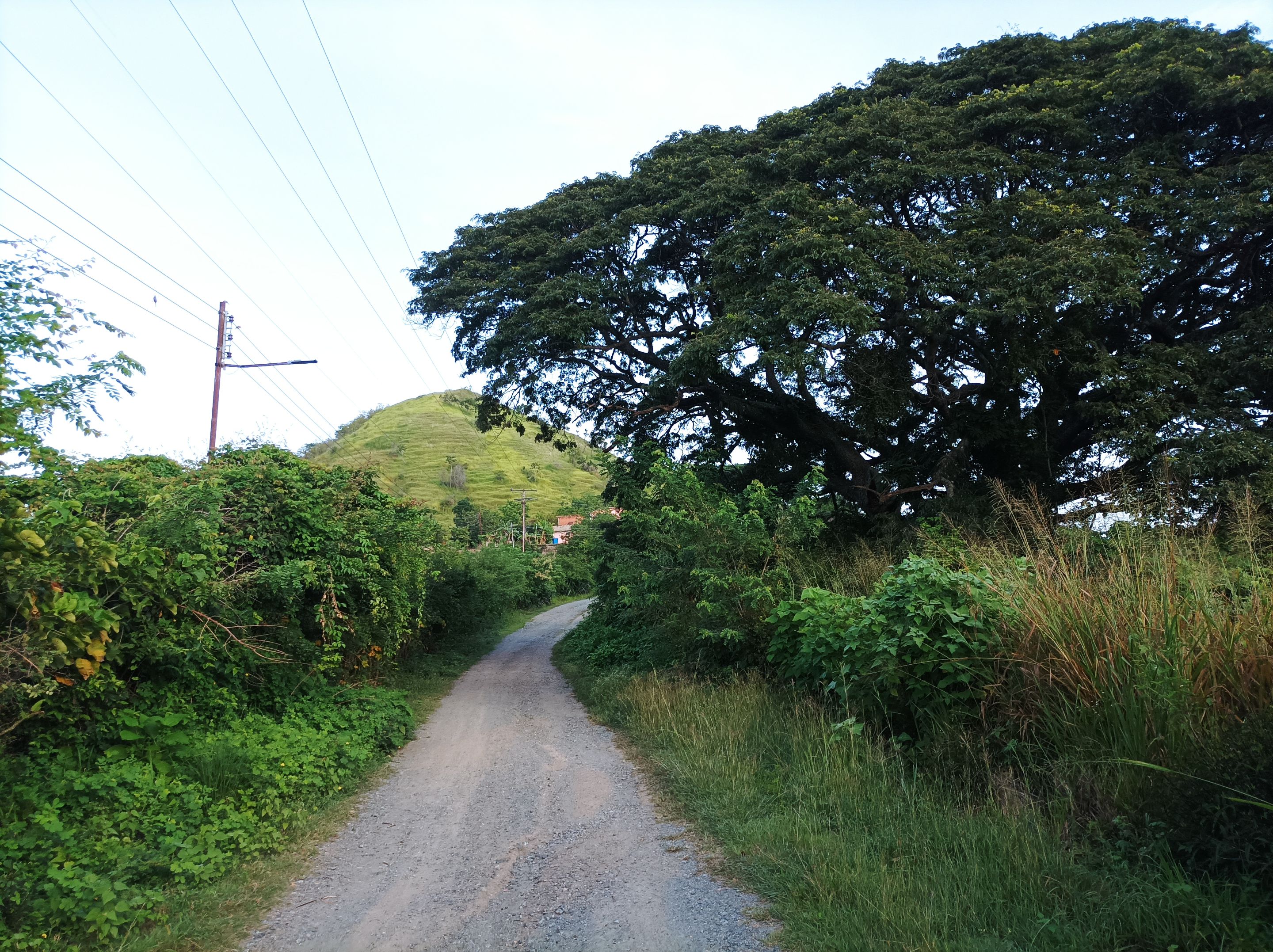
Después, retomé la ruta de El Samán, pero en esta oportunidad no subí hacia el sector Dimas, sino que continúe caminando por toda la recta que tiene más de 1K de distancia. Luego pasé por frente a la montaña y llegué a El Samán, para comenzar a subir y adentrarme a la comunidad de Santa Eduviges, pasando después por La Represa y nuevamente llegar al centro de Villa de Cura y finalmente terminar esta ruta en la avenida Lisandro Hernández, con un tiempo de 1 hora con 41 minutos y 33 segundos, con un desnivel positivo de 77 n y un desnivel máximo 562 m, registrado en la aplicación Strava.
Afterwards, I resumed the El Samán route, but this time I didn't climb towards the Dimas sector, but continued walking along the entire straight stretch, which is more than 1K long. I then passed in front of the mountain and arrived at El Samán, to begin the climb and enter the community of Santa Eduviges, then passing through La Represa and once again arriving at the center of Villa de Cura. Finally, I finished this route on Lisandro Hernández Avenue. I completed the route in 1 hour, 41 minutes, and 33 seconds, with a positive elevation gain of 77 n and a maximum elevation gain of 562 m, recorded on the Strava application.
Mira mi caminata en Strava: https://strava.app.link/NUrKiqre3Vb
Check out my hike on Strava: https://strava.app.link/NUrKiqre3Vb
Espero que les haya gustado, nos vemos en una próxima publicación.
I hope you liked it, see you in a next post.
Fotografías: Teléfono Redmi Note 10 Portada realizada en APP GridArt Logos utilizados de Hive y de @fulldeportes Traductor utilizado: Traductor de Google
Photos: Redmi Note 10 Phone Cover made in The APP GridArte Used logos of Hive and @fulldeportes Translator used: Translator used: Google Translate
 Vote la-colmena for witness By @ylich