There only few people who know the History of the place and they gladly shared the exact stories behind of this mountainous place.
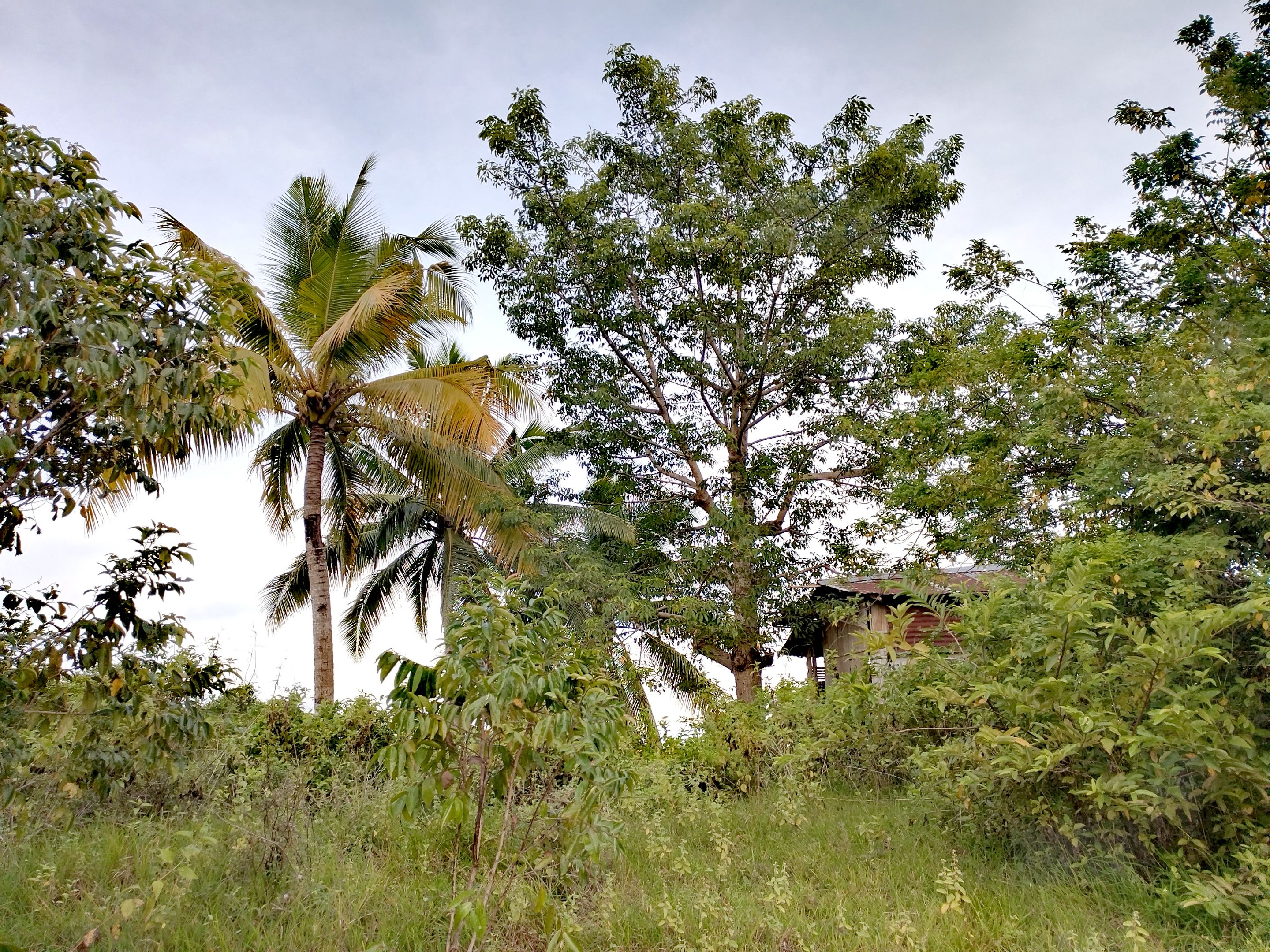
Since this place was once a native land, only few houses made of light materials can be seen here. One of this is the tall house made of round tember located at the middle of forestry areas. Native people who lived here that time decided to built this long foundation of the house to prevent from any dangerous animals like wild boars and snakes. They also intend to built this kind of unique house just to have an overlooking views of the entire mountains. The term Bandera means a place where lots of overlooking views contains and aside of that, backed in American regime Some american soldiers put a flag pole here represent the point of the peak. But as many years and Decades has past, the poles was totally vanished without a traced. Others told that some parts of the place was once a camp site of american soldier before those native people arrived here.
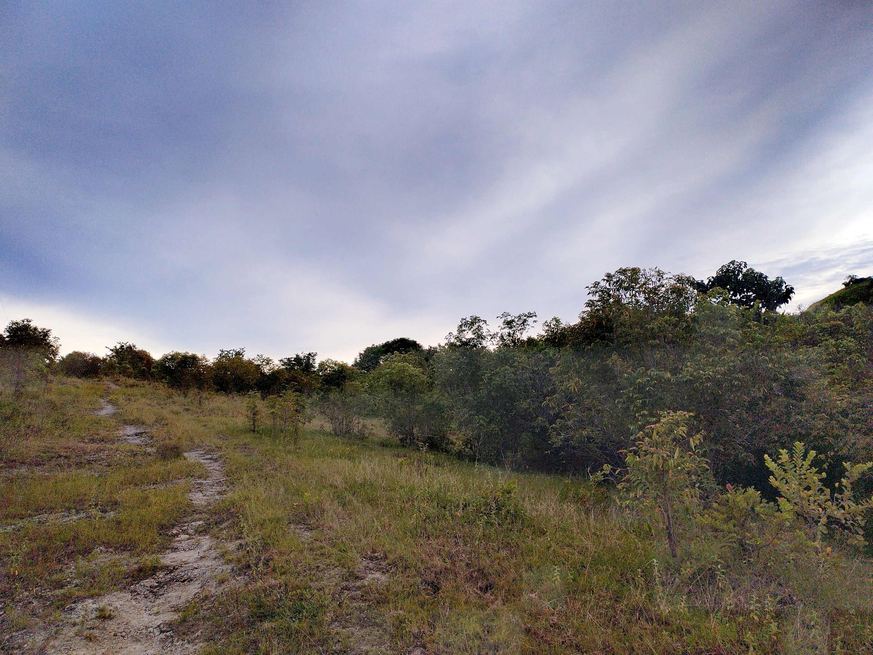
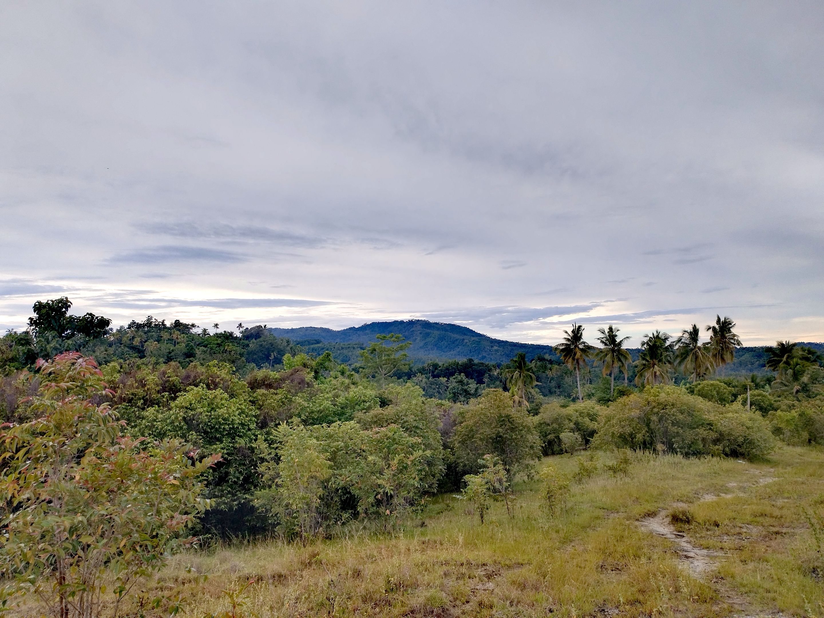
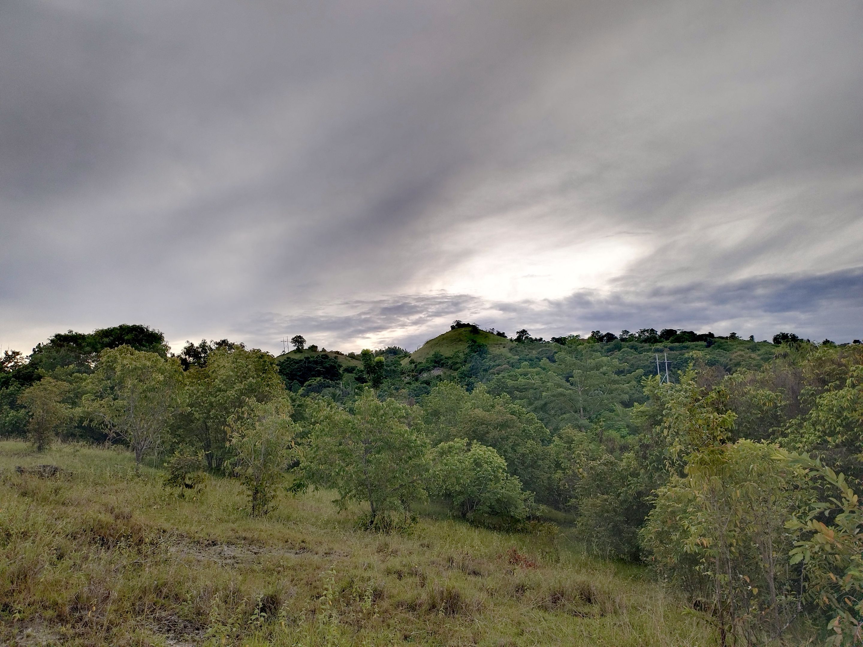
Bandera contains lots of road trails and some of it are located at the top of the solid Silica rocks. Bikers, Motorcycle riders and camp travelers always went here building camps and spend a night. The white lines shown is one of the rocky road trail that bikers and adventurers always went. Only few amount of soil contains here and underneath is the solid silica rocks. This road trail leads to the other side of the Mountain called pastohan, it called by its name because of the place were lots of farm raised animals cared backed many years already. Lots of grass coveres the entire mountain and the hill that is why there are some farm raising people fed their animals here because of lots of grass grows.
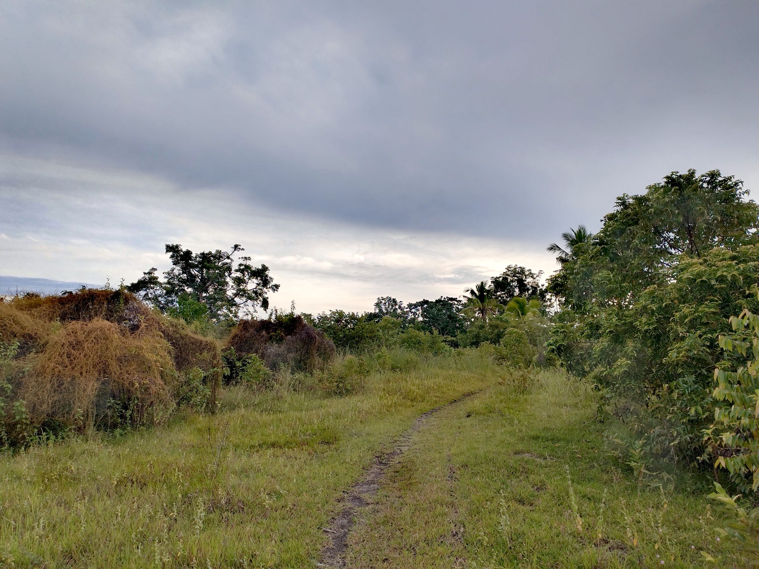
This place here covered with lots of grass and it is a part of the hill located here in Pastohan Mountain ranges. There are four hills can be seen and found here and each hill is facing to the Overlooking views of Manticao mountain. The road trail can be seen at the middle leads to the shortcut areas of Sitio Makawa straight down to the steelbridge of the Sitio. Every holy week, there are lots of devotees went here as part of church activities and most of all a perfect place to do picnics and taking pictures of the Sunset.
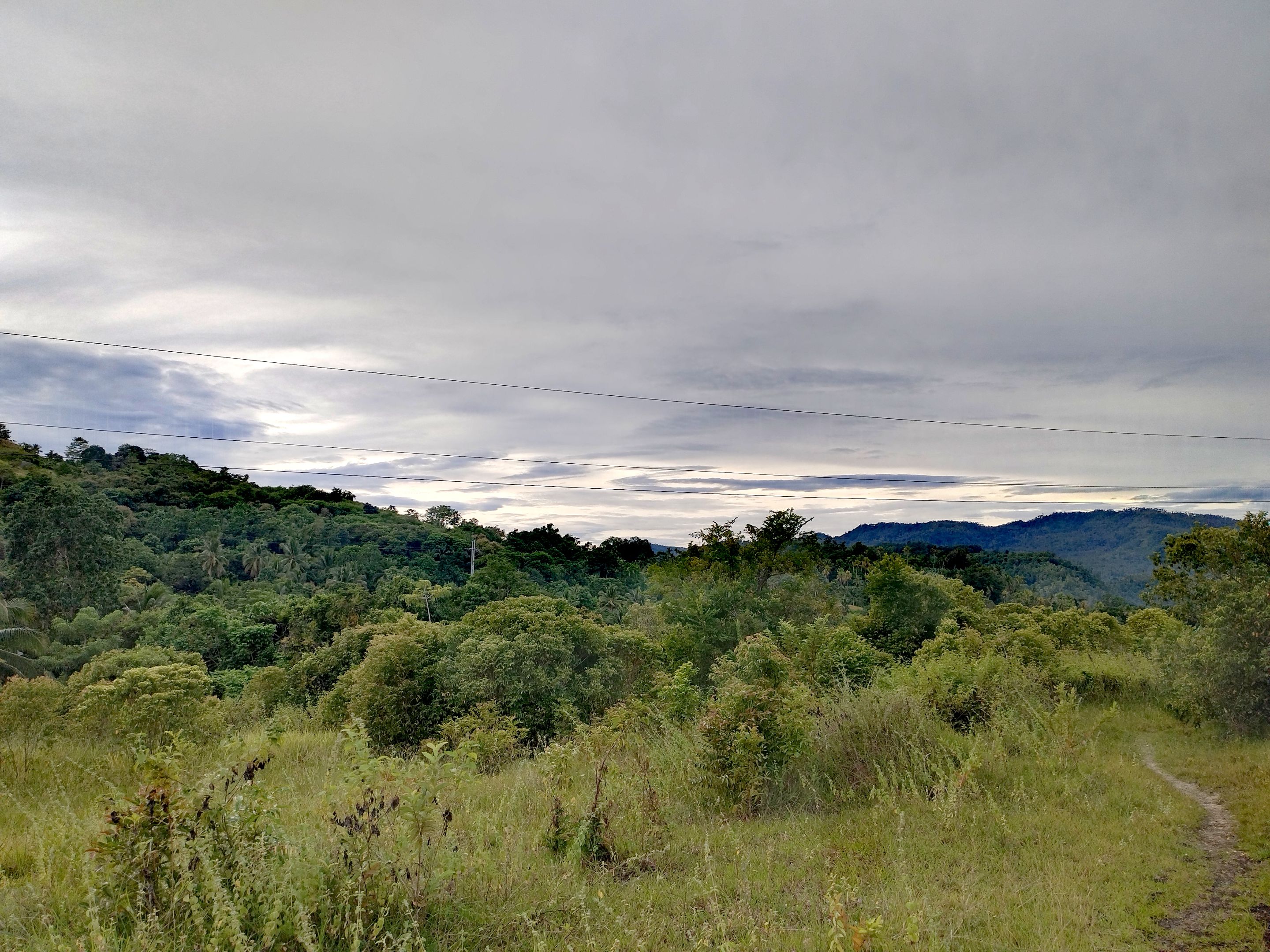
Neighboring mountains can also seen from here and it connects from here to the other side of the place. Lots of wild animals like birds also saw here including some dangerous wild animals like snakes. Big chunks of clouds and perfect sunsets is perfect to watched from here and few dry streams located at the middle between two mountains and even if it is really far from urbaned place, still power lines also installed here. If we truly visited this place, it will be worth it and relaxing ourselves watching in the Paradisiacal views. Until next post, have a nice day to everyone.