For this weeks [Show Us Your California](https://peakd.com/mycalifornia/@thesocalhive/show-us-your-california-contest-week-271) contest by @thesocalhive I headed up into the San Gorgonio wilderness for an awesome backpacking trip to the...
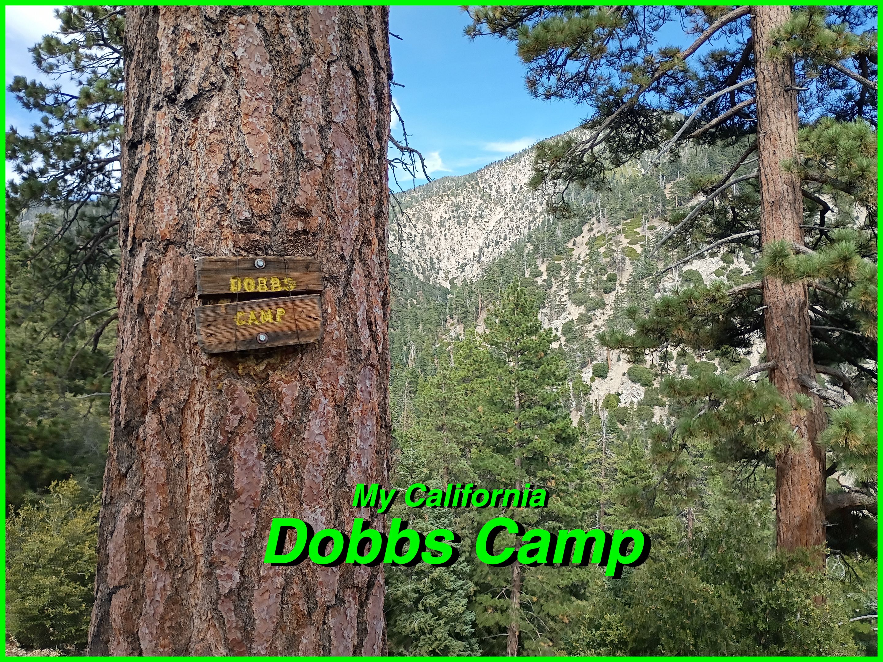
Dobbs Camp!

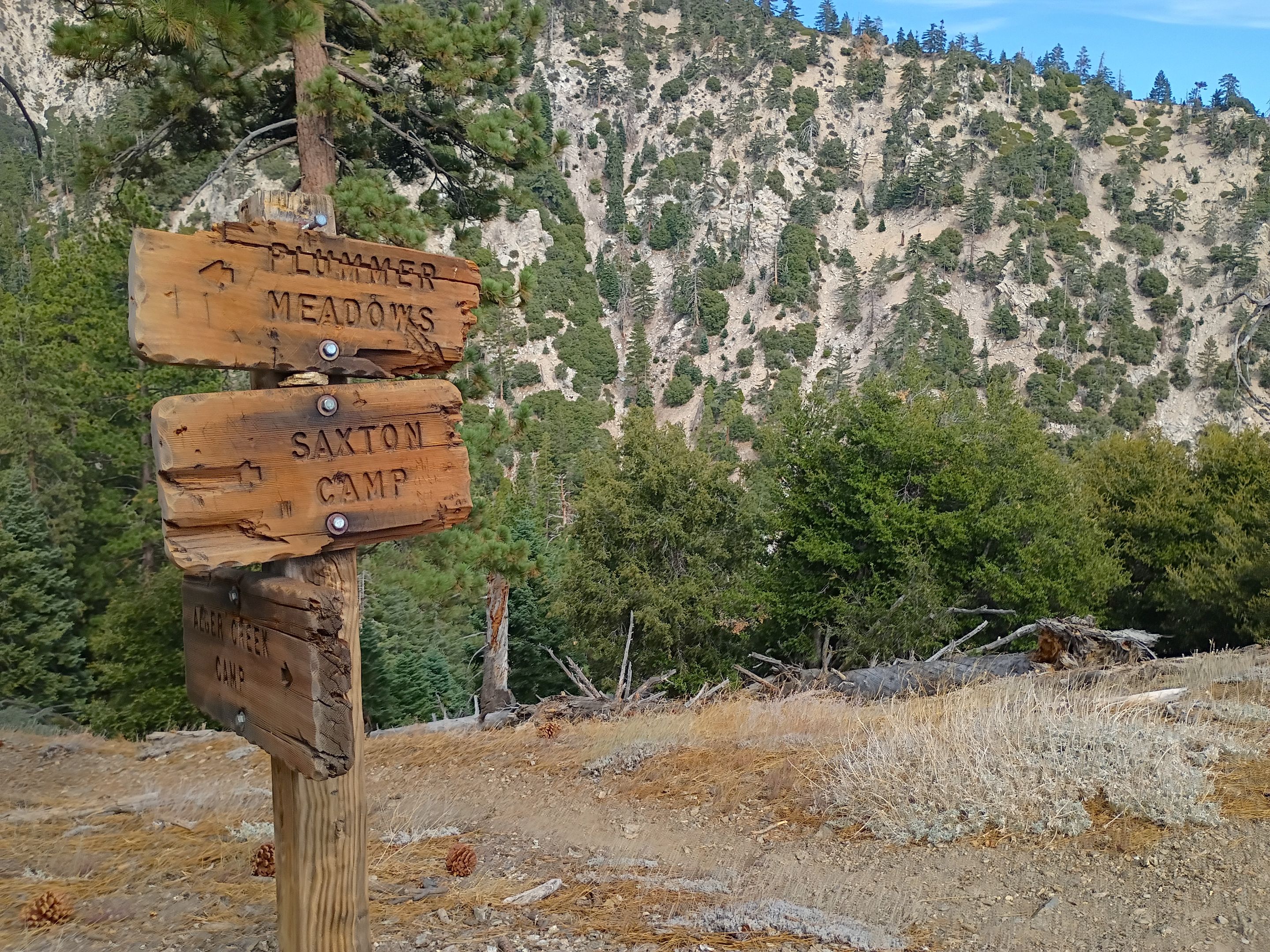
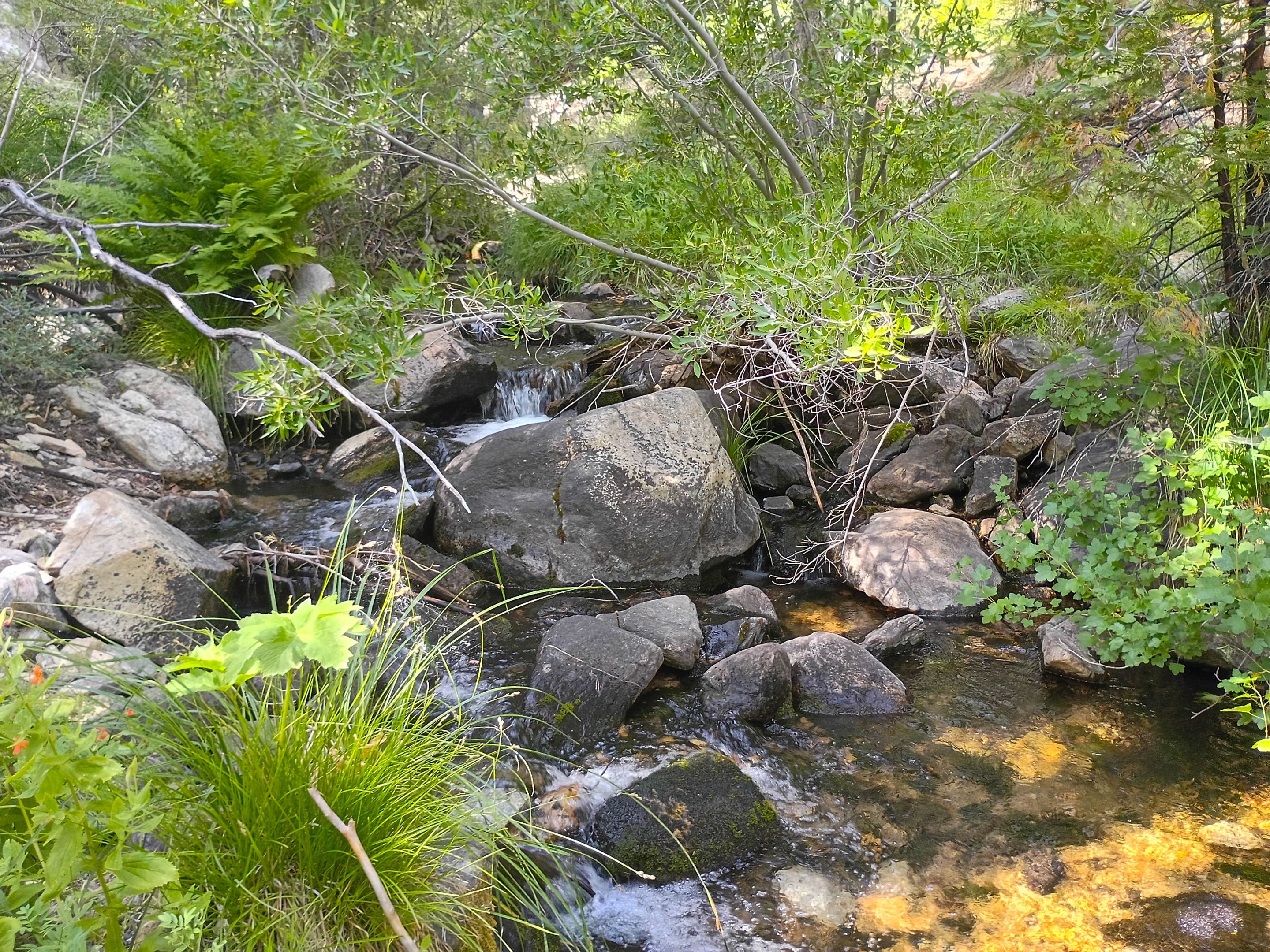
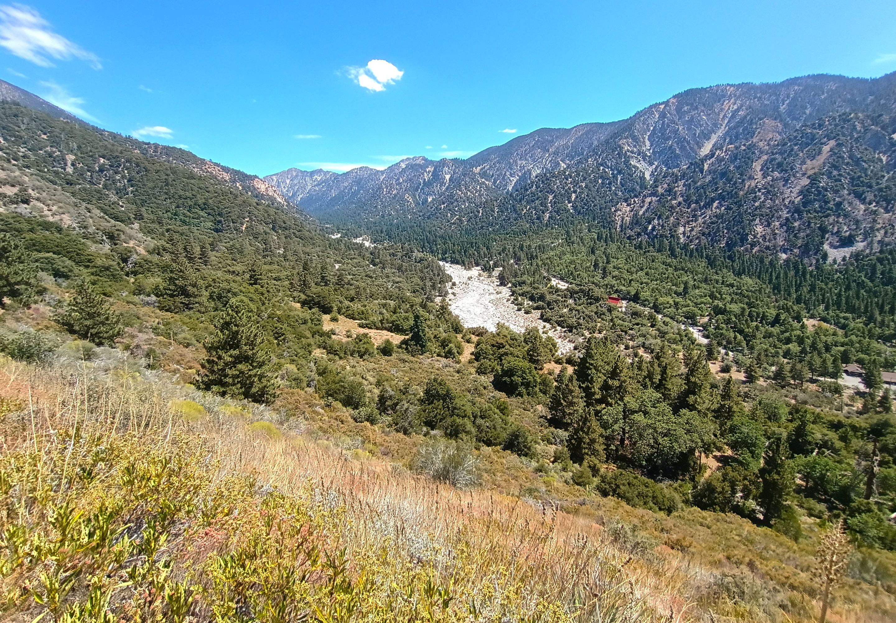
My buddy Larry (@csusbgeochem1) had recently purchased some wilderness trail maps and I was telling him that now that he bought 'em he's gotta use 'em! And so since one of his new maps was for the San Gorgonio wilderness area we decided to plan a trip there. Now I've been all over the San Gorgonio wilderness, hiked almost all the trails and climbed almost all the peaks, but one area I had never checked out was the Dobbs camp along falls creek. So we decided to do an overnight trip there. We started at the Momyer trailhead in Forest falls. We crossed Mill creek and then started making our way up the Momyer trail. The first 3 miles were really steep climbing over 2000' in elevation gain. It was a pretty hot day despite being up in the mountains so luckily a lot of the trail was shaded by oak trees. In the open sections the sun was cooking us, but also in those open sections we got some real nice views overlooking Mill creek canyon and across the canyon to the peaks along the Yucaipa ridge. After 3 miles we reached a trail junction. From there we left the Momyer trail and followed the Falls creek trail. The first mile started off pretty flat until we reached Cedar spring. We stopped and had a drink of the fresh spring water and then descended the switchbacks down to Alger creek where we stopped for a snack break and refilled our water. The area around the creek was really nice with huge trees all around as well as some lovely wild flowers and even some wild berries.
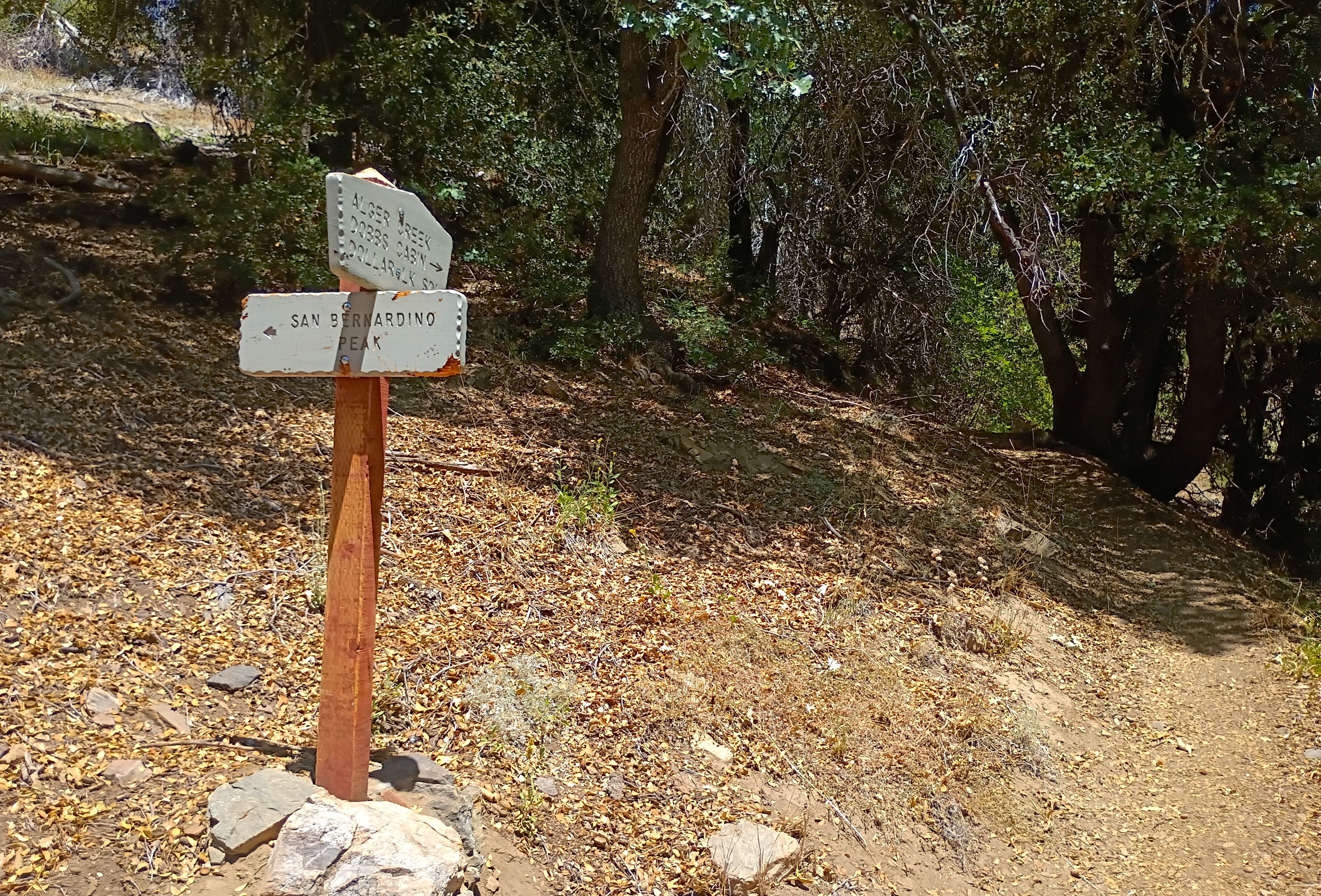
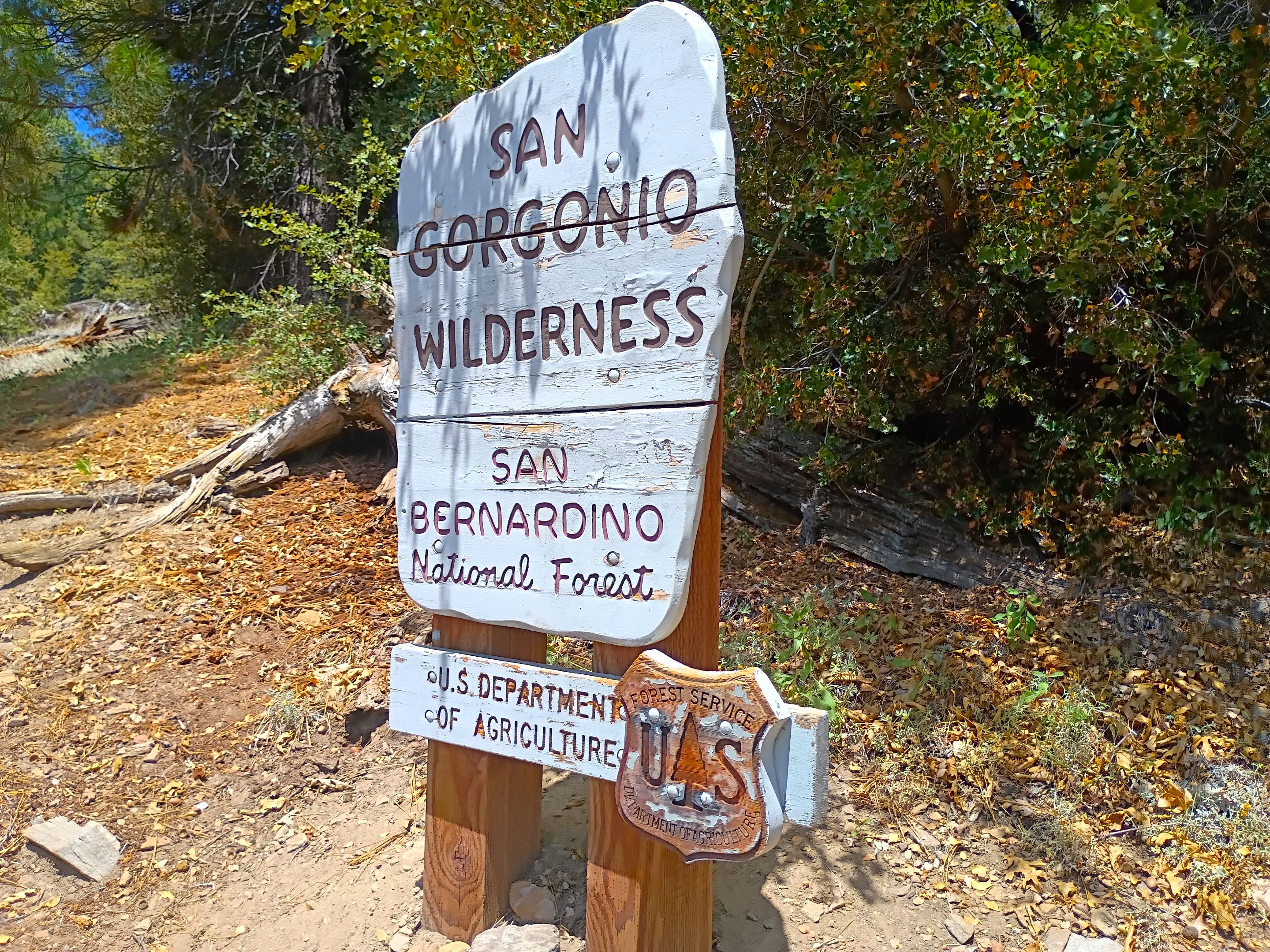
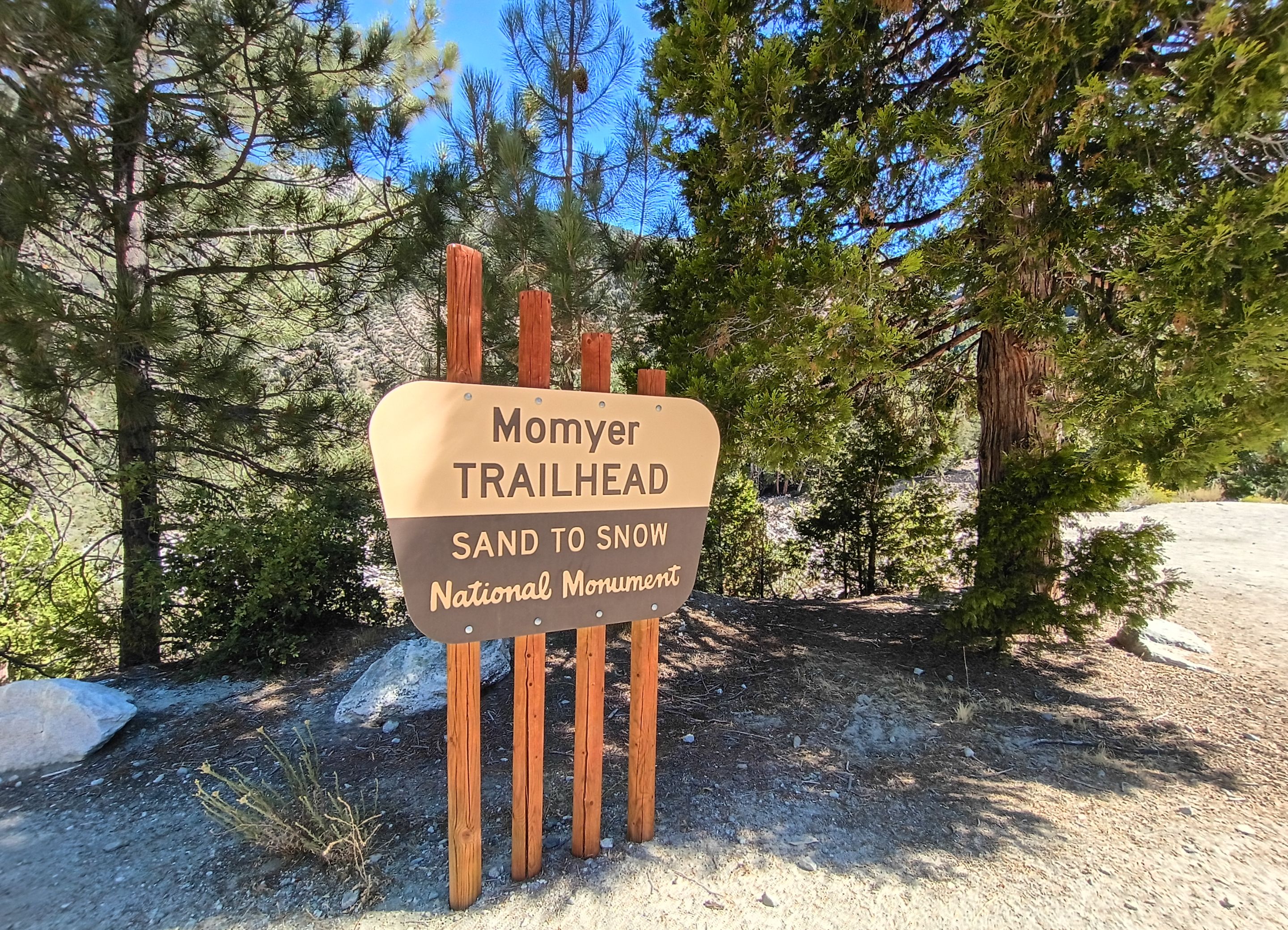 Trailhead sign
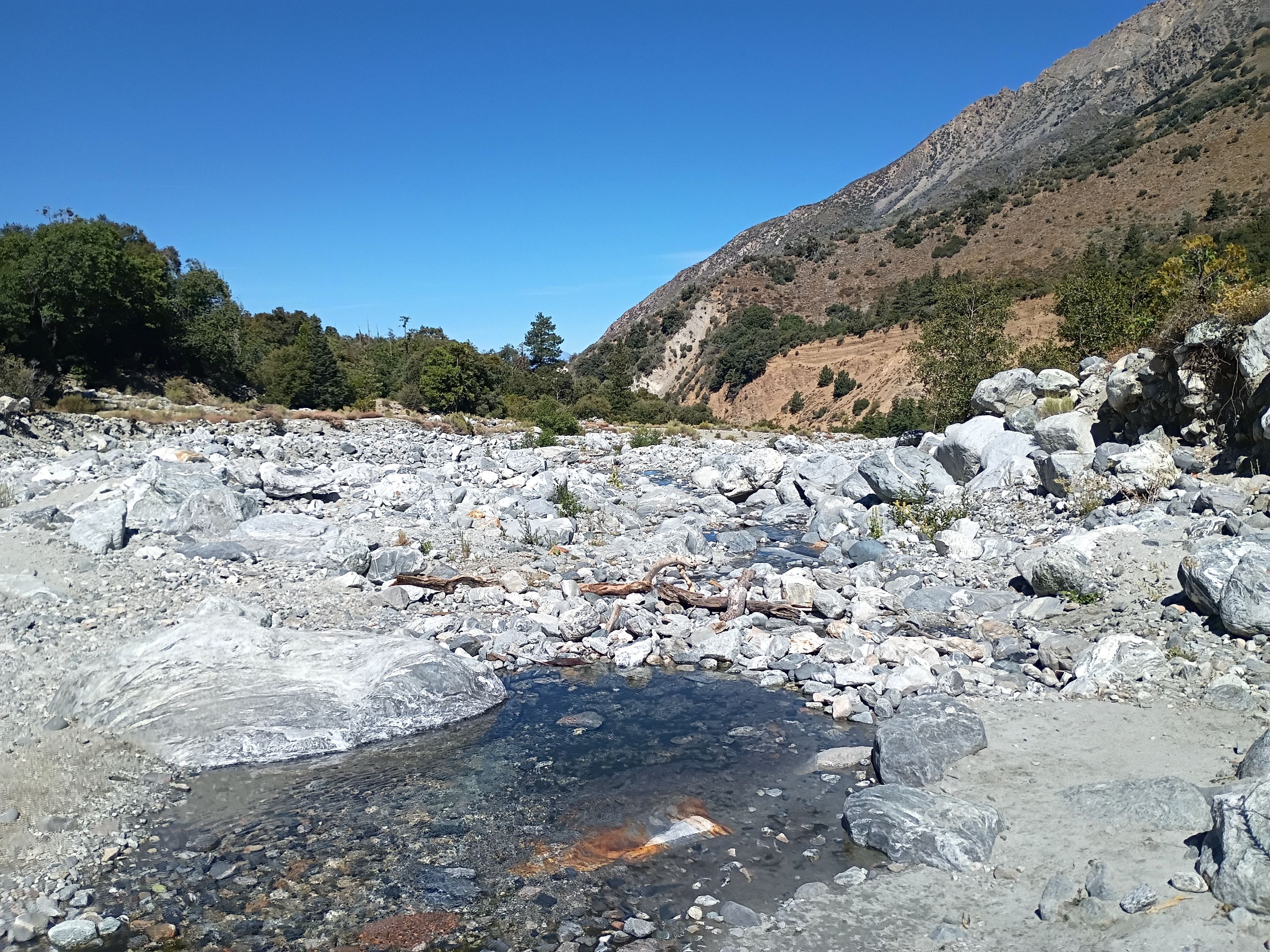 Crossing the rocky wash bed of Mill creek
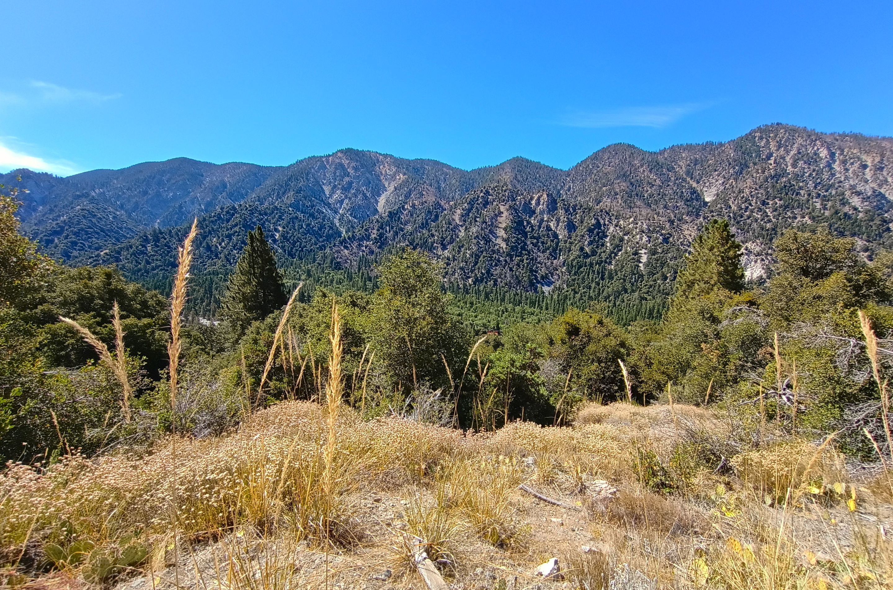 Views of Yucaipa ridge
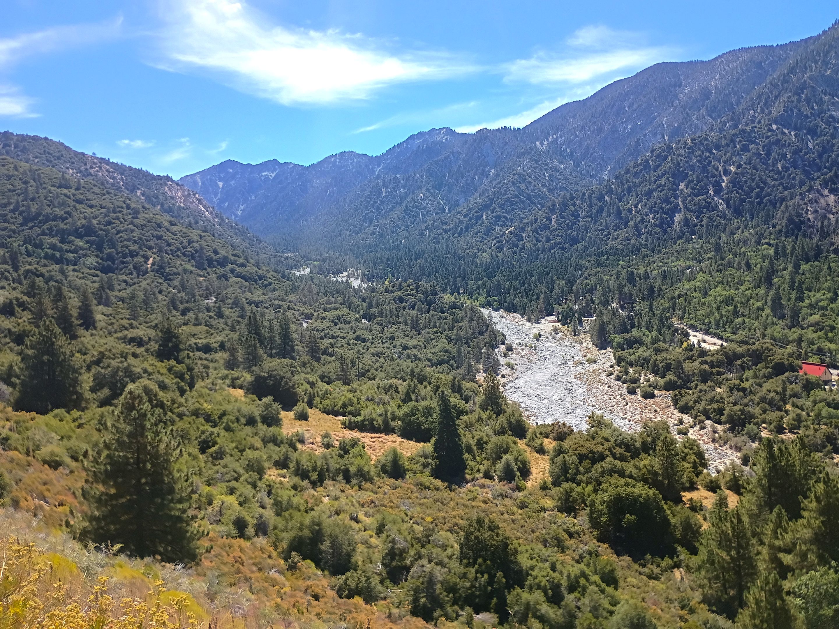 Overlooking Mill creek canyon
 The trail junction
 Overlooking the Alger creek area
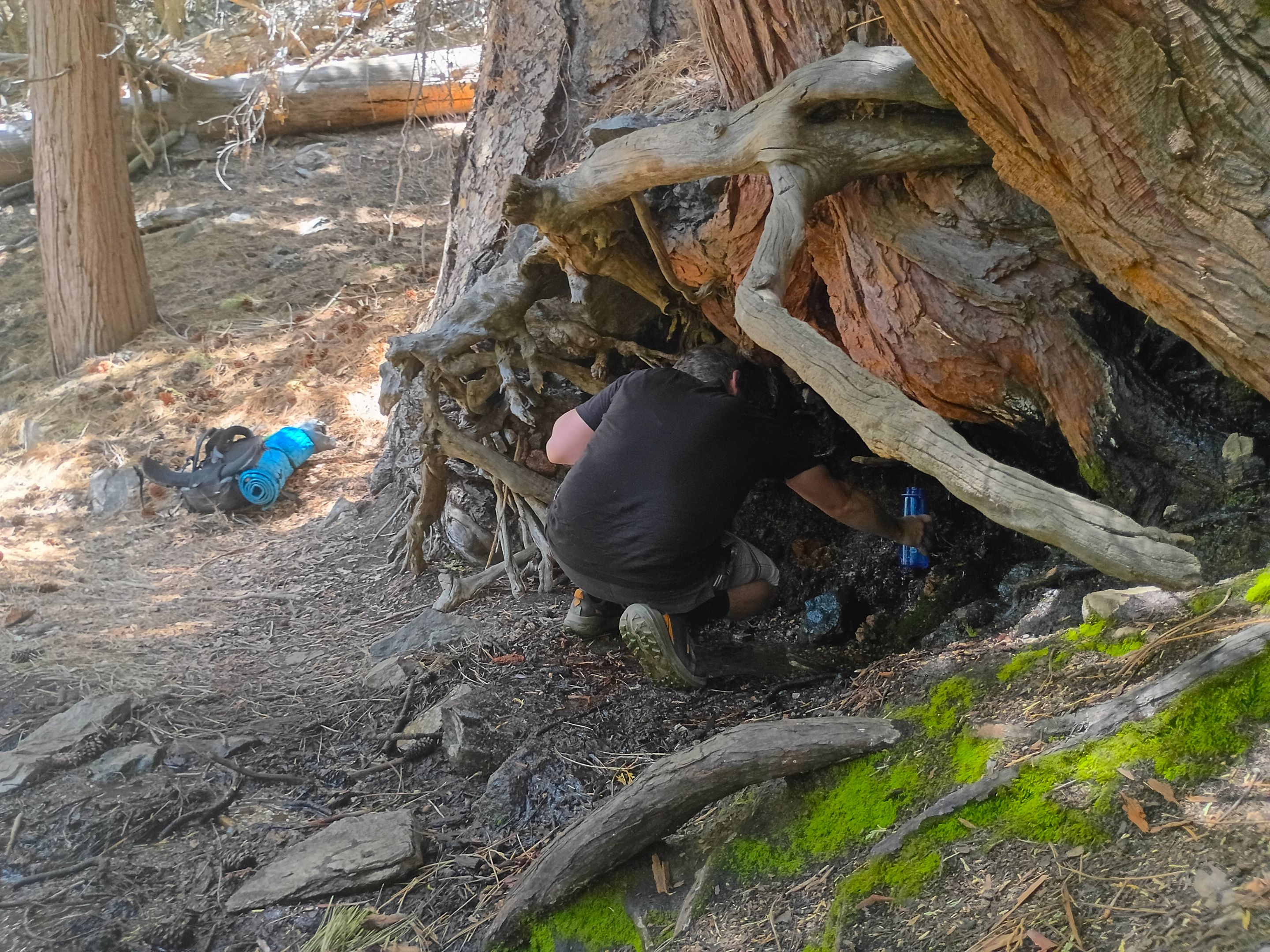 Larry getting some water at Cedar spring
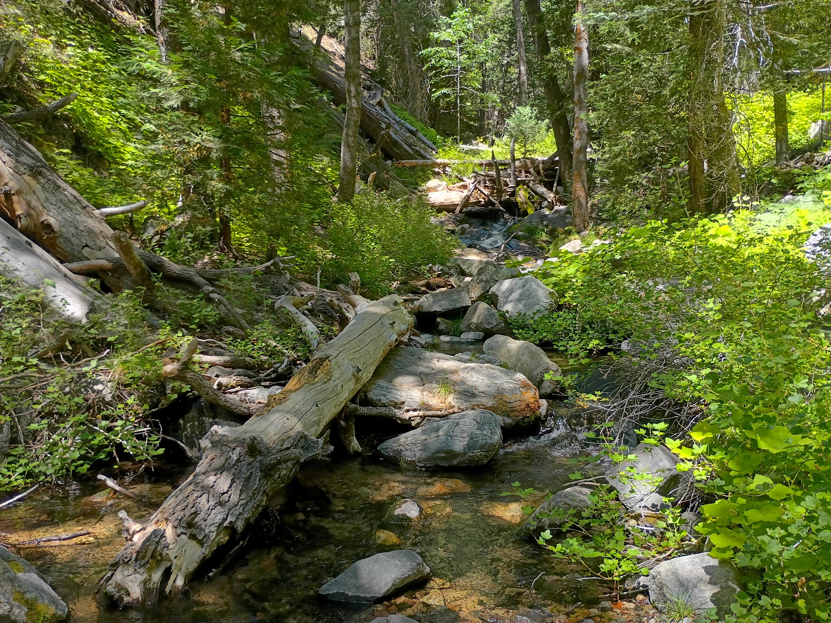 Arriving at Alger creek
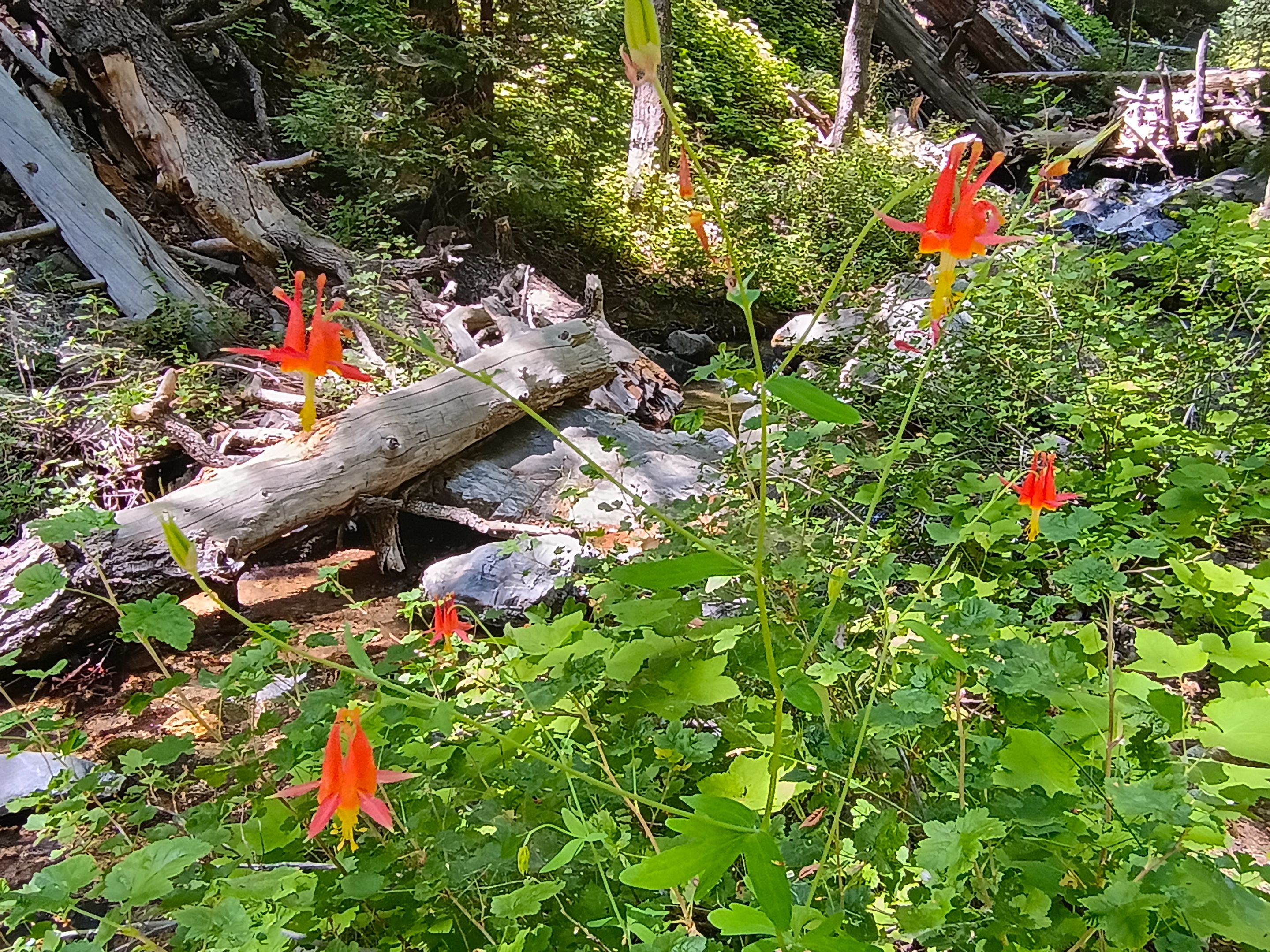 Blooming columbine along Alger creek
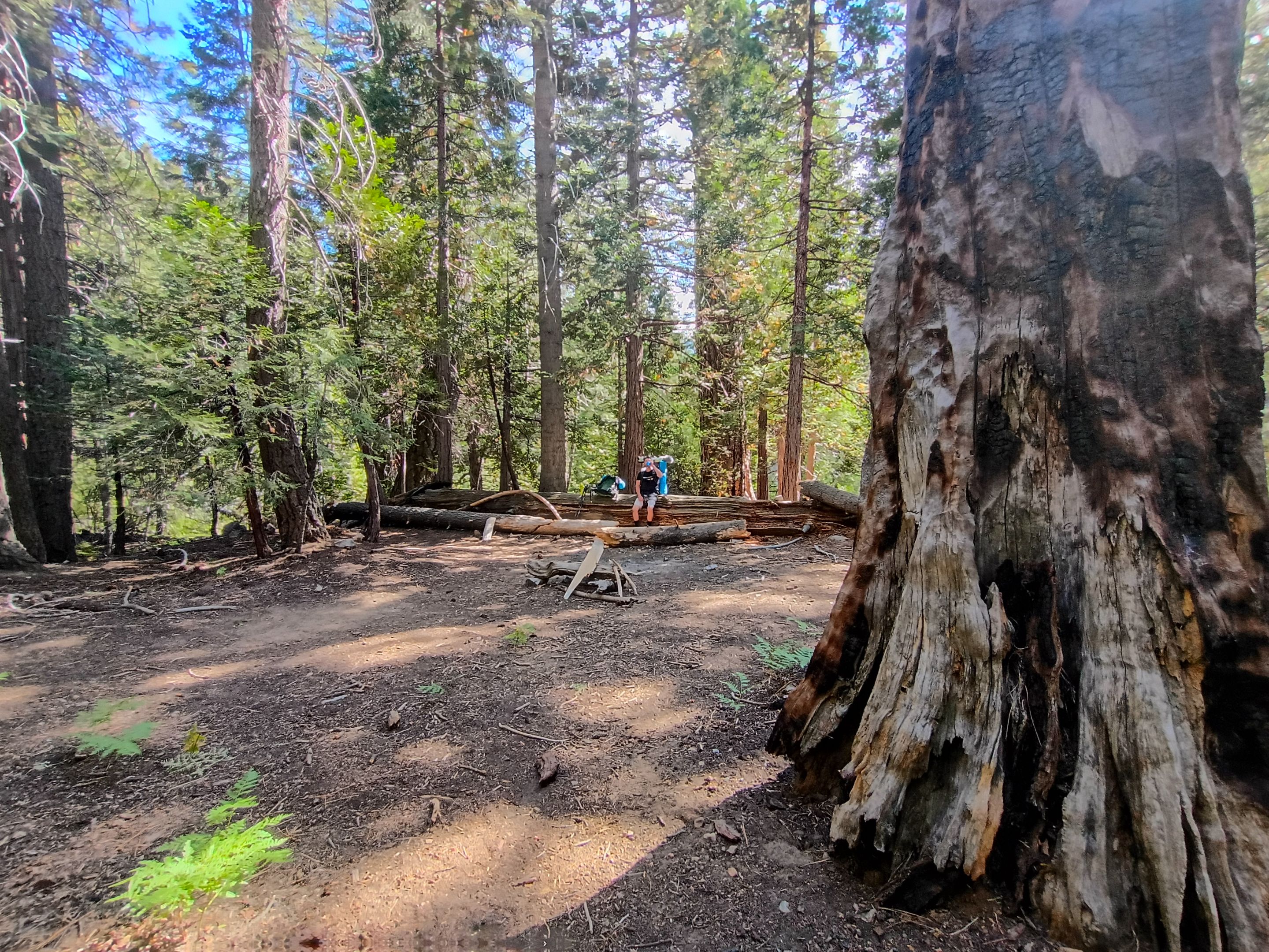
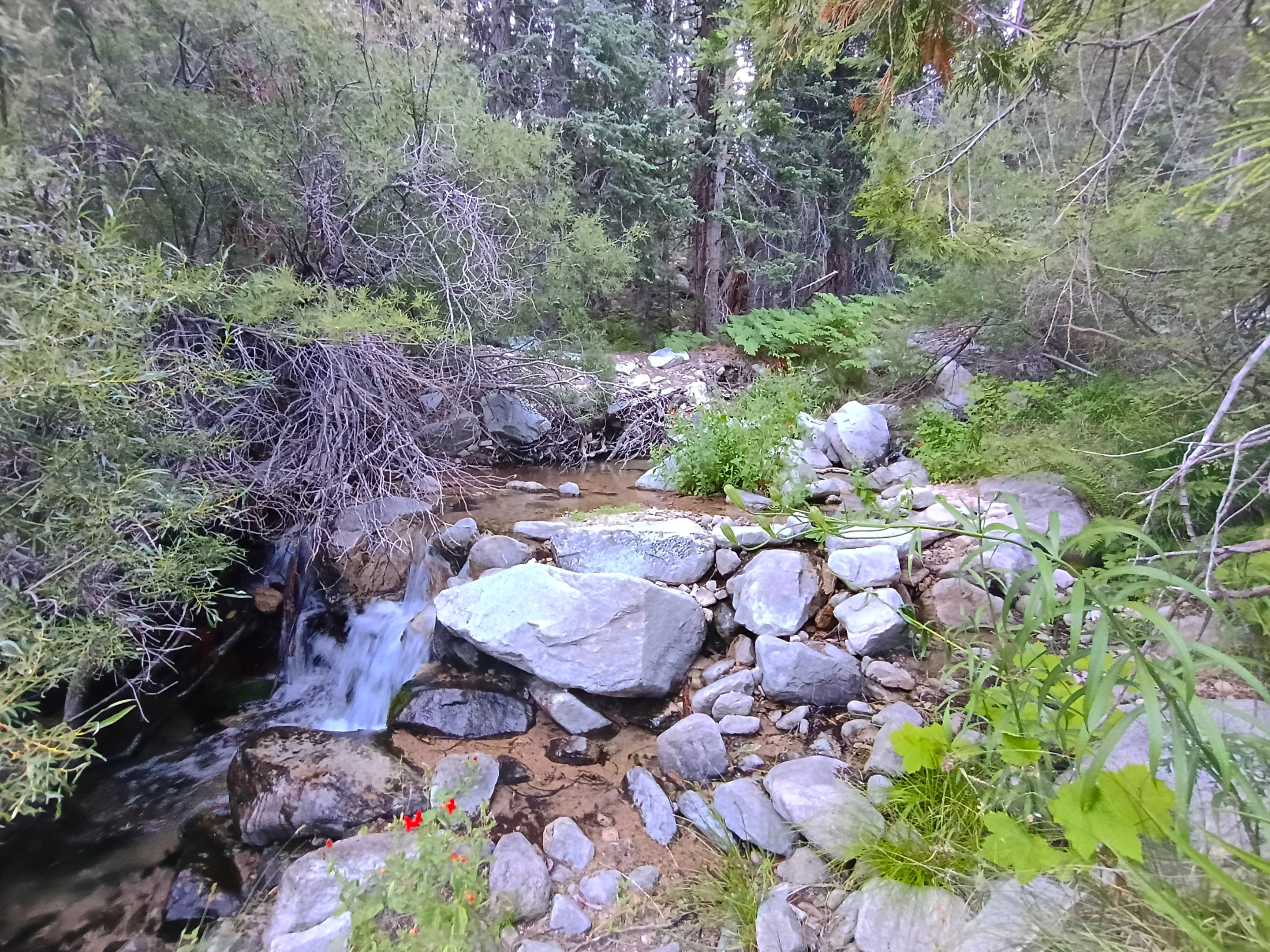
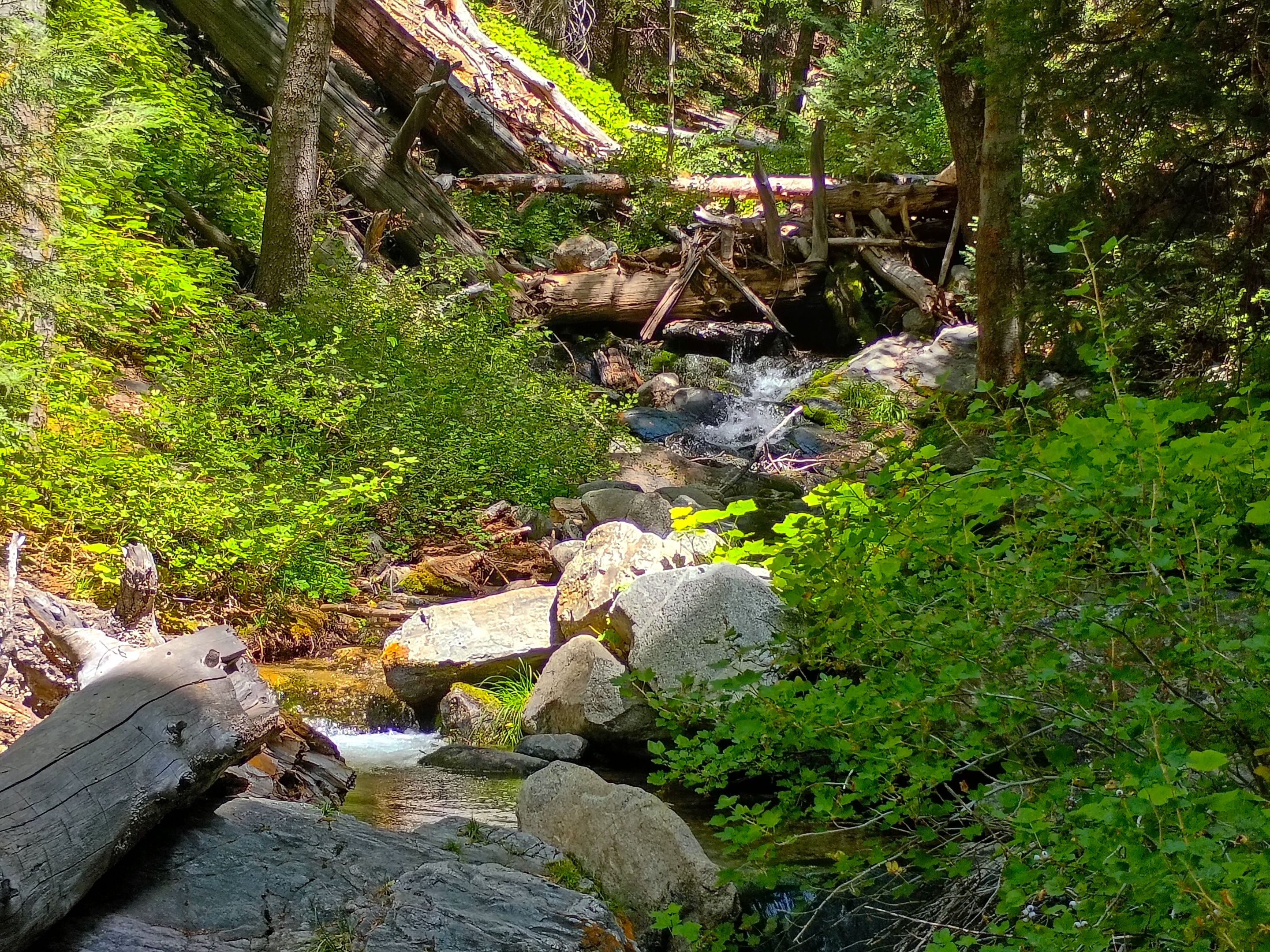
After our break we continued on the next 2 miles of trail. Starting with a good climb up out of Alger creek and then getting more gradual with small ups and downs as we contoured a few minor ridge lines before having one last steep climb up to our second trail junction. From the junction the Falls creek trail continues up towards Dollar Lake saddle, but we took the cutoff that dropped us our last half mile down to Falls creek and Dobbs camp. Once at the bottom we crossed the creek and found lots of camping opportunities on the far side. We picked out a nice spot and got our camp all setup. We were both pretty tired from the long hike so at first we just relaxed for awhile enjoying the scenery. The camp is situated right where two forks of the creek merge together. So with that combined with several fresh springs in the area we had the relaxing sound of flowing water all around us. The area in this canyon was surprisingly beautiful. All the water made it incredibly lush with lots of ferns and other greenery along the forest floor and a thick canopy of absolutely huge trees including Jeffrey pines, Sugar pines, White firs, and most impressively the massive Incense Cedars that closely resemble the Giant Sequoia trees of the western Sierra Nevada. If I didn't know any better you could've easily convinced me we were in the Giant Forest in the heart of Sequoia national park. I could definitely see why John Dobbs would've chose this place to build his cabin. Which leads me to a quick history tangent...
As you probably guessed from my last statement.. this area, as well as a nearby peak, were named after an early pioneer named John Dobbs who arrived in the San Gorgonio area in the late 1800's. John was a mountain guide who would bring tourists up into the area. And he built a cabin in the location that is now Dobbs camp, where he would bring many of those tourists to stay overnight. Unfortunately at some point John was hit by lightning while hiking to the summit of San Gorgonio and after that he retired as a mountain guide and was rarely ever seen. Now back to the trip...
After resting for awhile I decided I wanted to do a little exploring before it got dark. So I headed out from our camp and hiked around both forks of the creek as well as below the confluence where I found a bunch more good camping areas as well as some more springs. I was hoping to find some remnants of the old cabin, but I didn't have much luck. The only possible remnant I found was in one area where some rocks had been stacked up into somewhat of a wall that seemed to be for supporting an old defunct path that may or may not had been related to the Dobbs cabin. After that I headed back to camp where Larry and I made dinner and enjoyed a nice peaceful evening.
 Climbing out of Alger creek
 Views from the trail
 Our second and final trail junction
 Arriving at the west fork of Falls creek
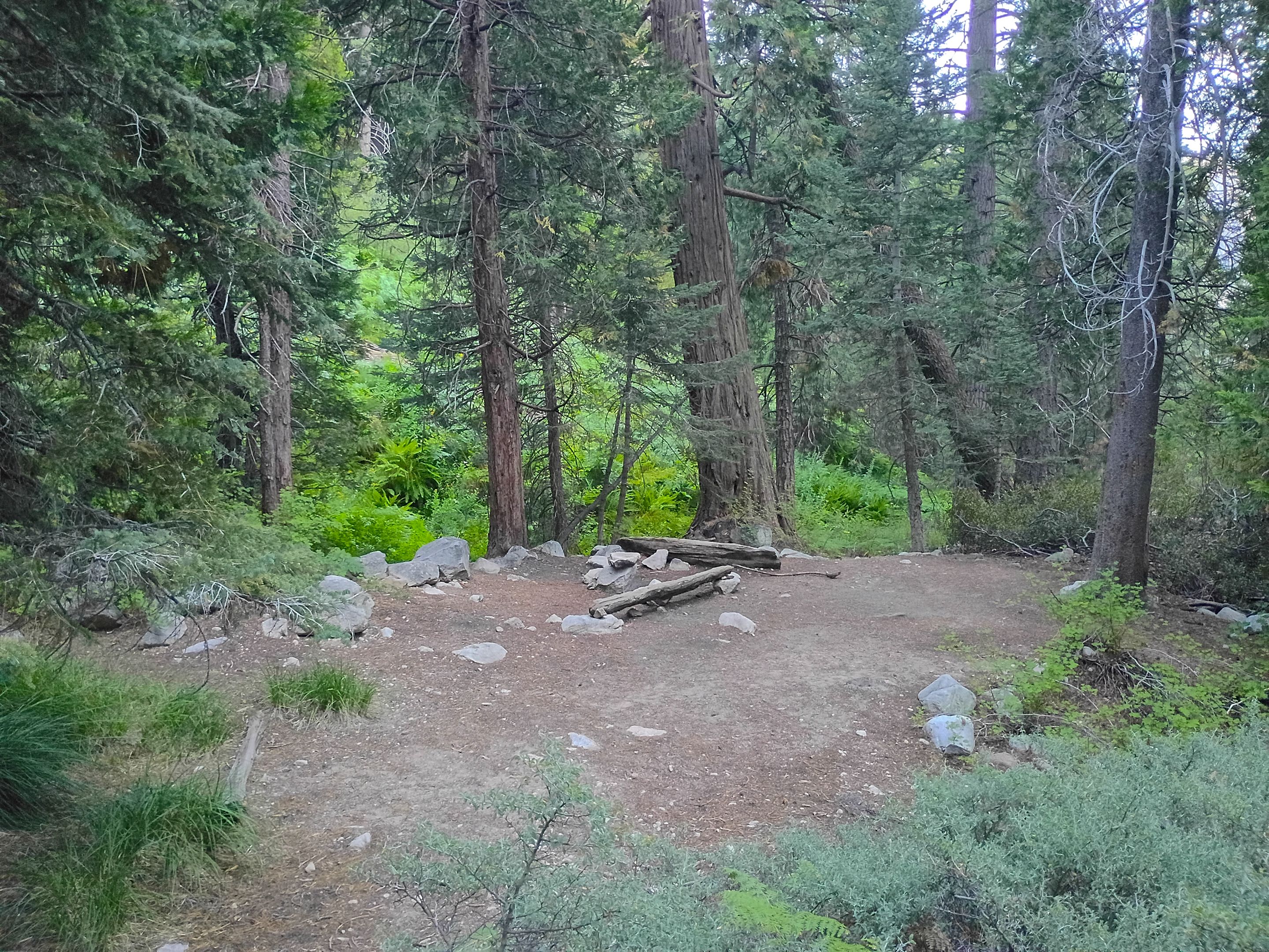
 Picking our camp spot
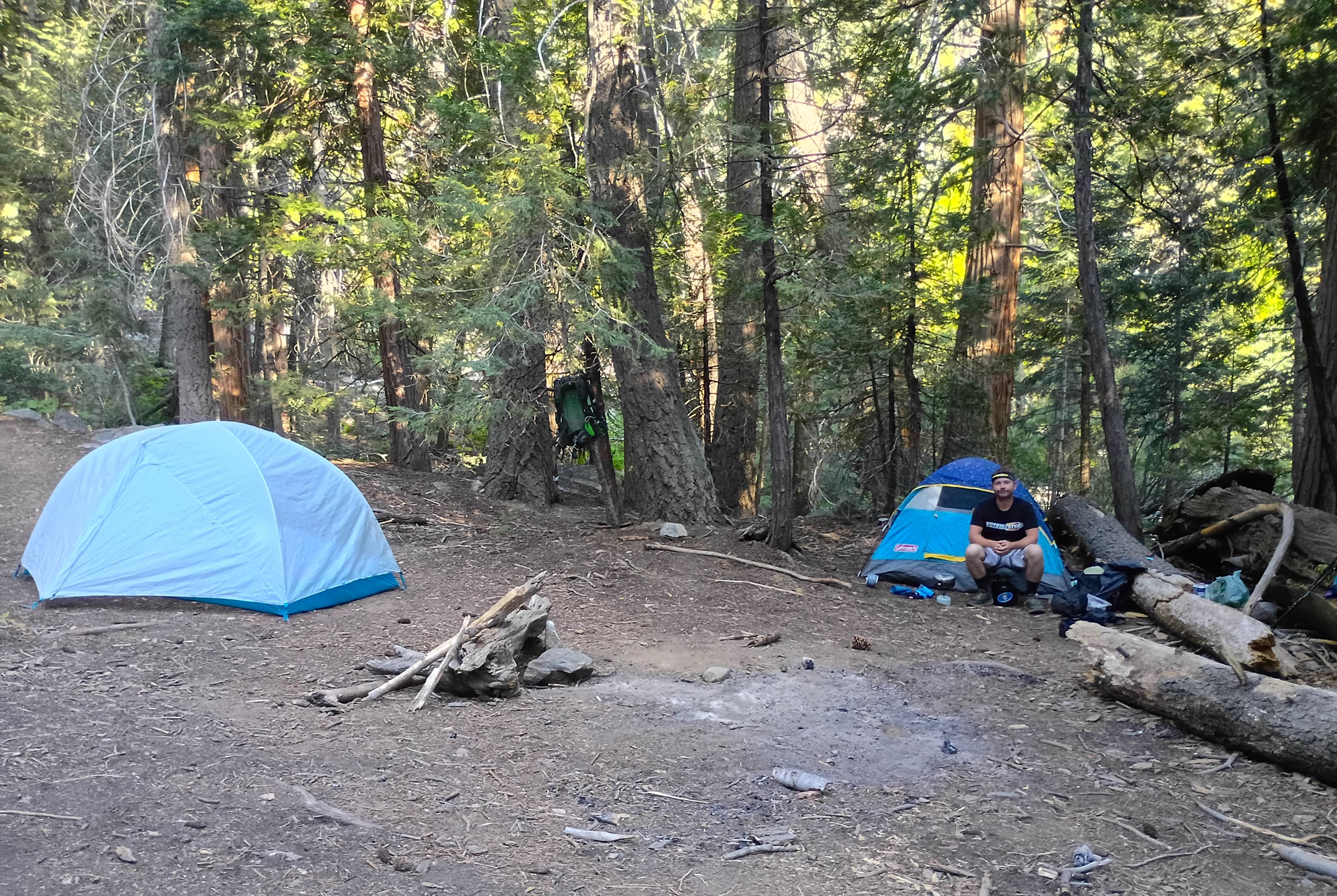 All setup at camp
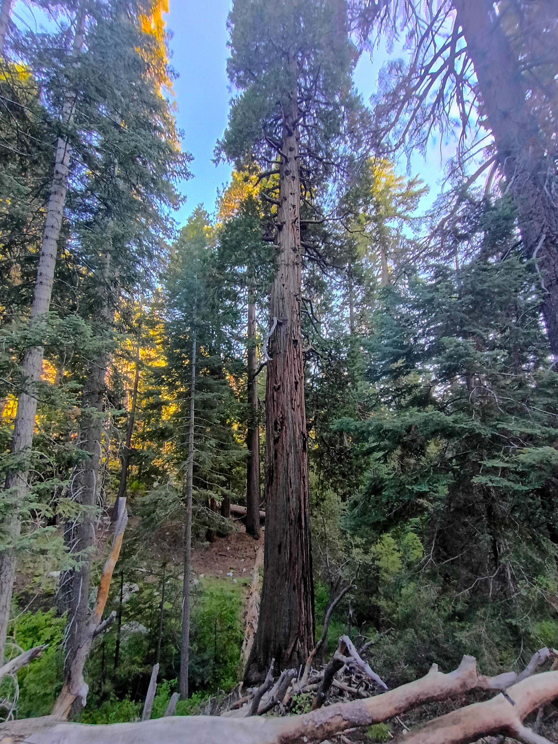 One of the many huge Incense Cedars
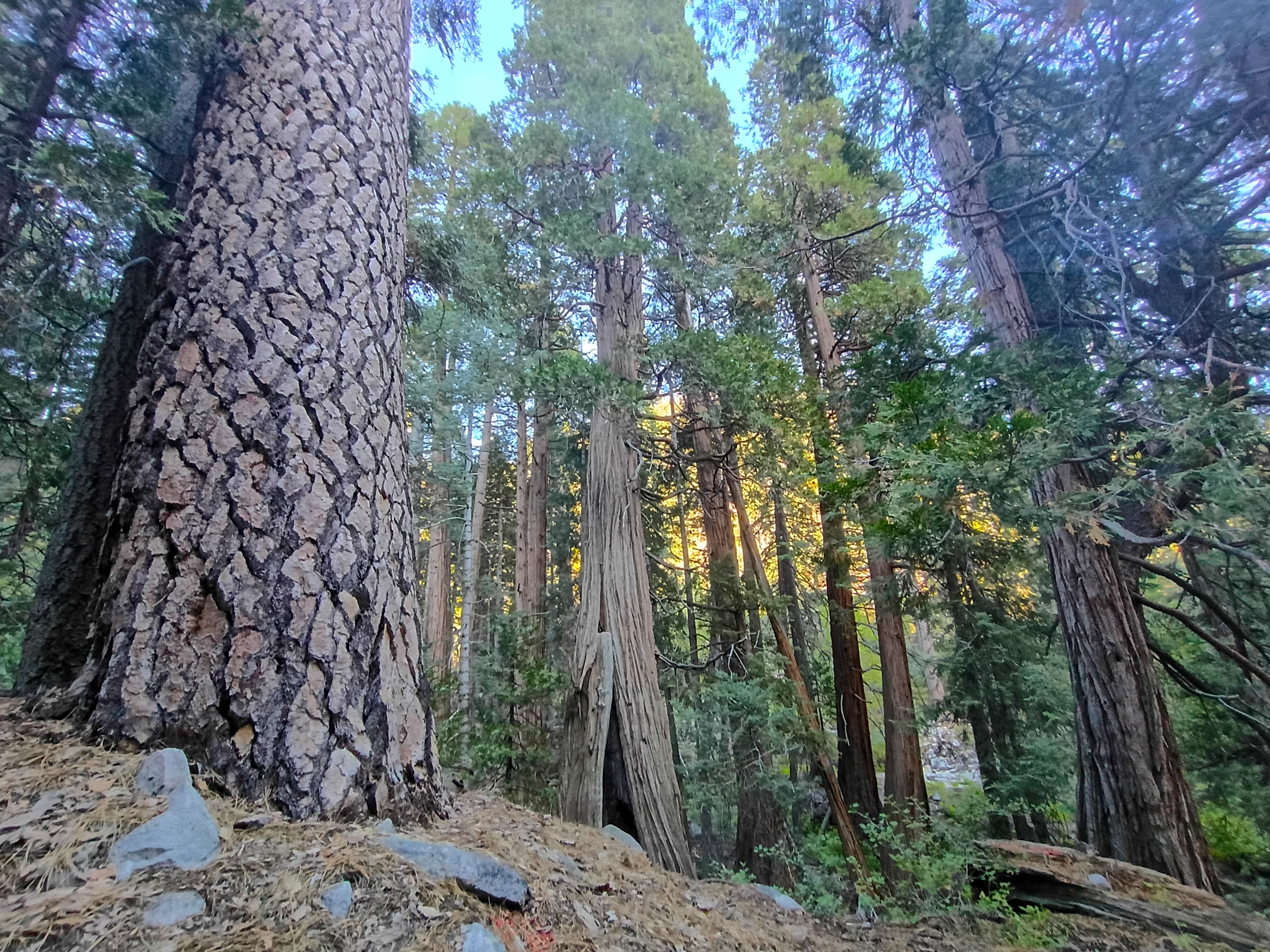 More huge trees
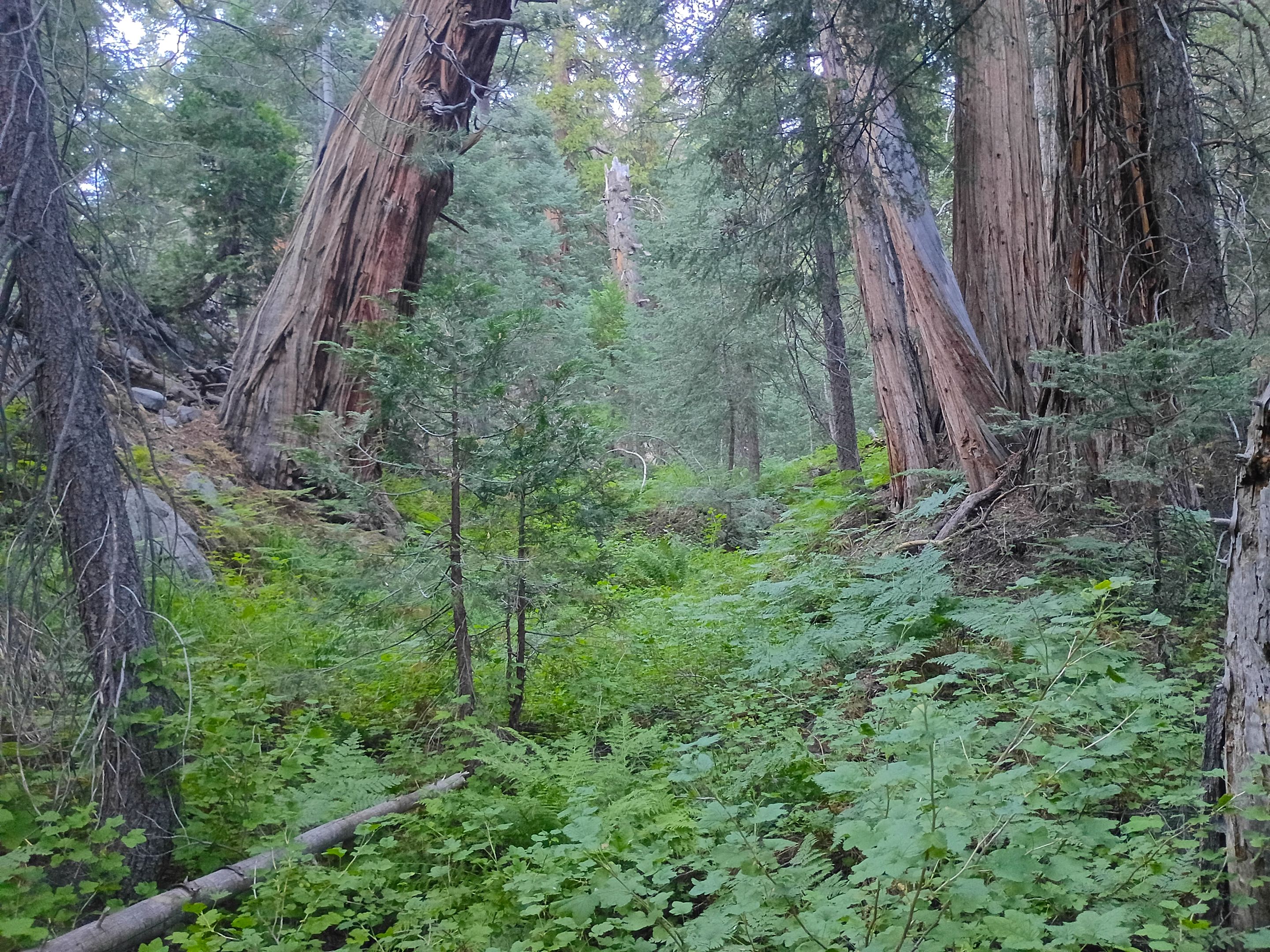 Lush undergrowth near a natural spring
 The east fork of Falls creek
 One of the lower camping areas below the confluence
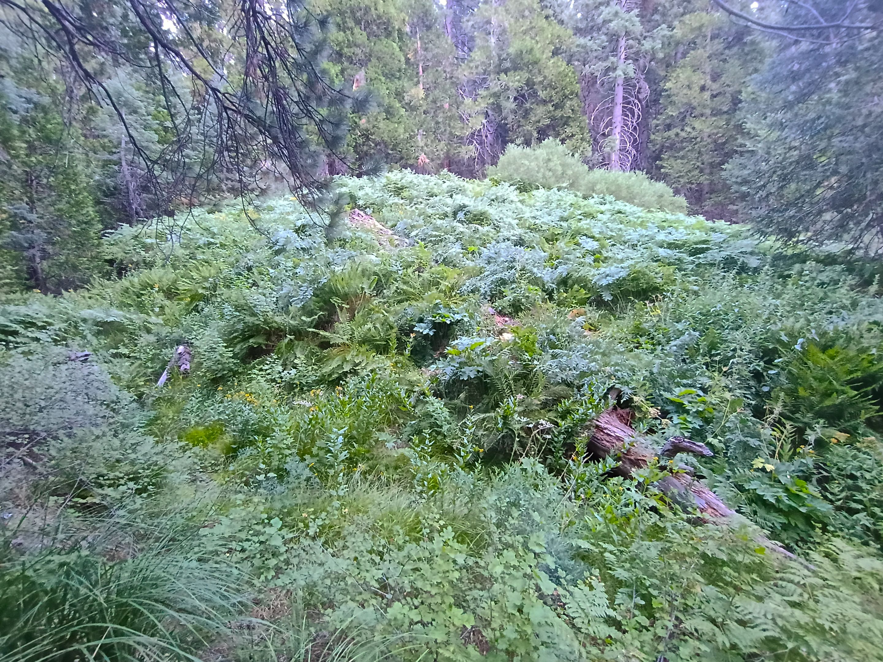 Another lush meadow with several natural springs flowing from it
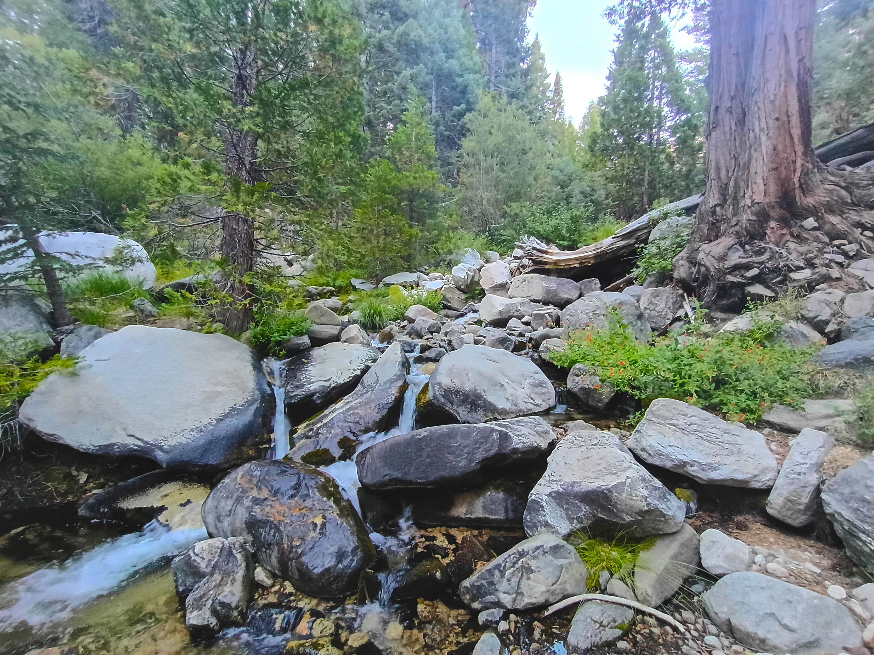 Falls creek
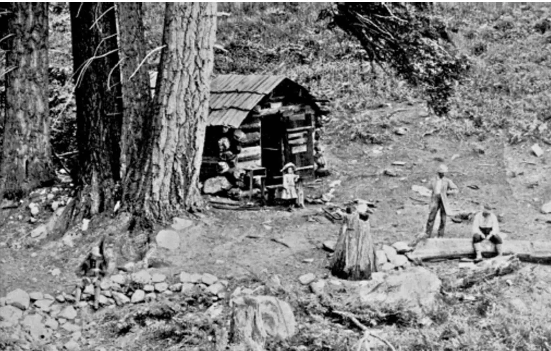 An old photo of tourists visiting Dobbs cabin
(photo taken from the book Pioneers of Mill Creek Canyon
An old photo of tourists visiting Dobbs cabin
(photo taken from the book Pioneers of Mill Creek Canyon
In the morning we got up, made breakfast, and got camp packed up. We could already tell it was gonna be another hot day, but luckily we had much less uphill to do on the way out. Once we were all packed up we headed up and out of falls creek, over and back through Alger creek, passed Cedar spring, and then back down the 3 steep miles to the trailhead. When we got back I was pretty exhausted from hiking in the heat, but also really stoked about getting to do another really awesome trip out in the San Gorgonio wilderness!!
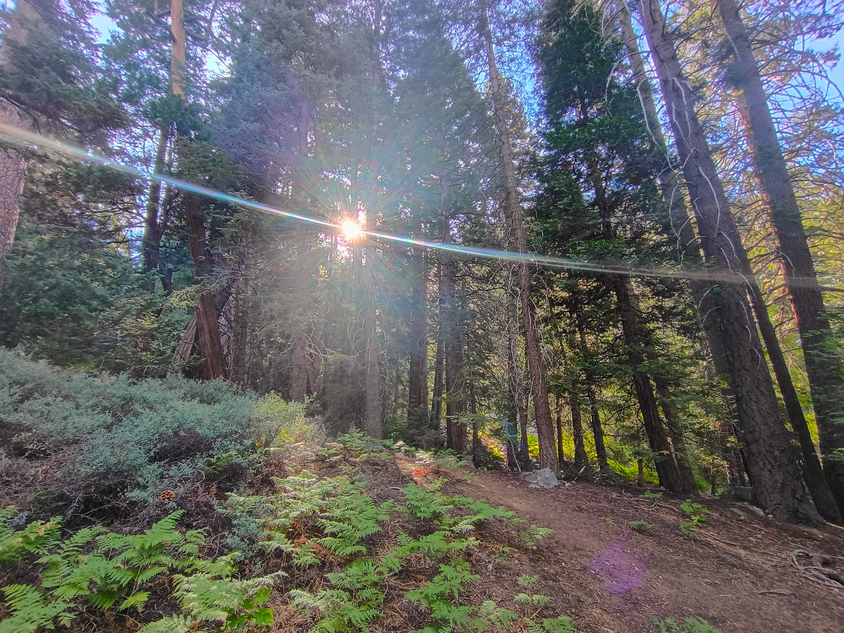 The morning sun shining through the forest canopy
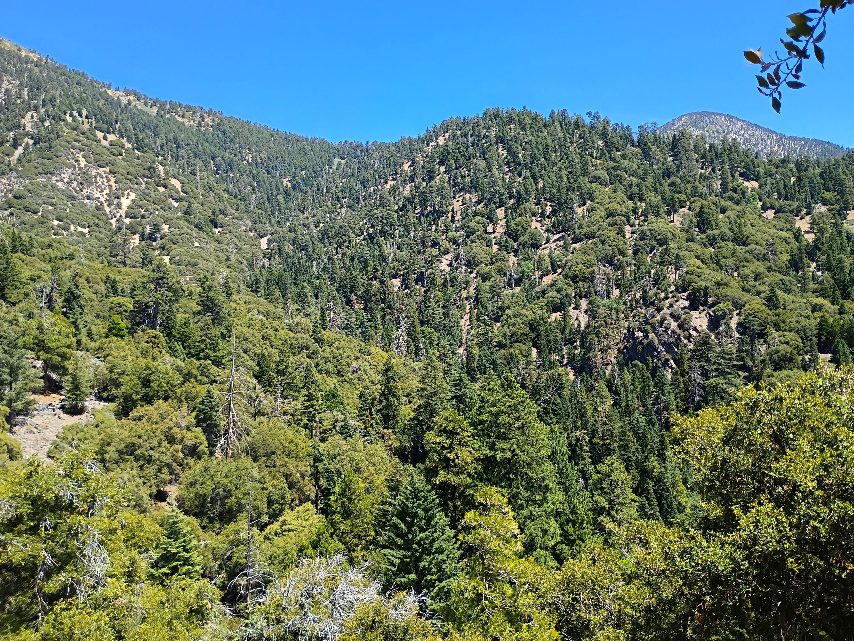
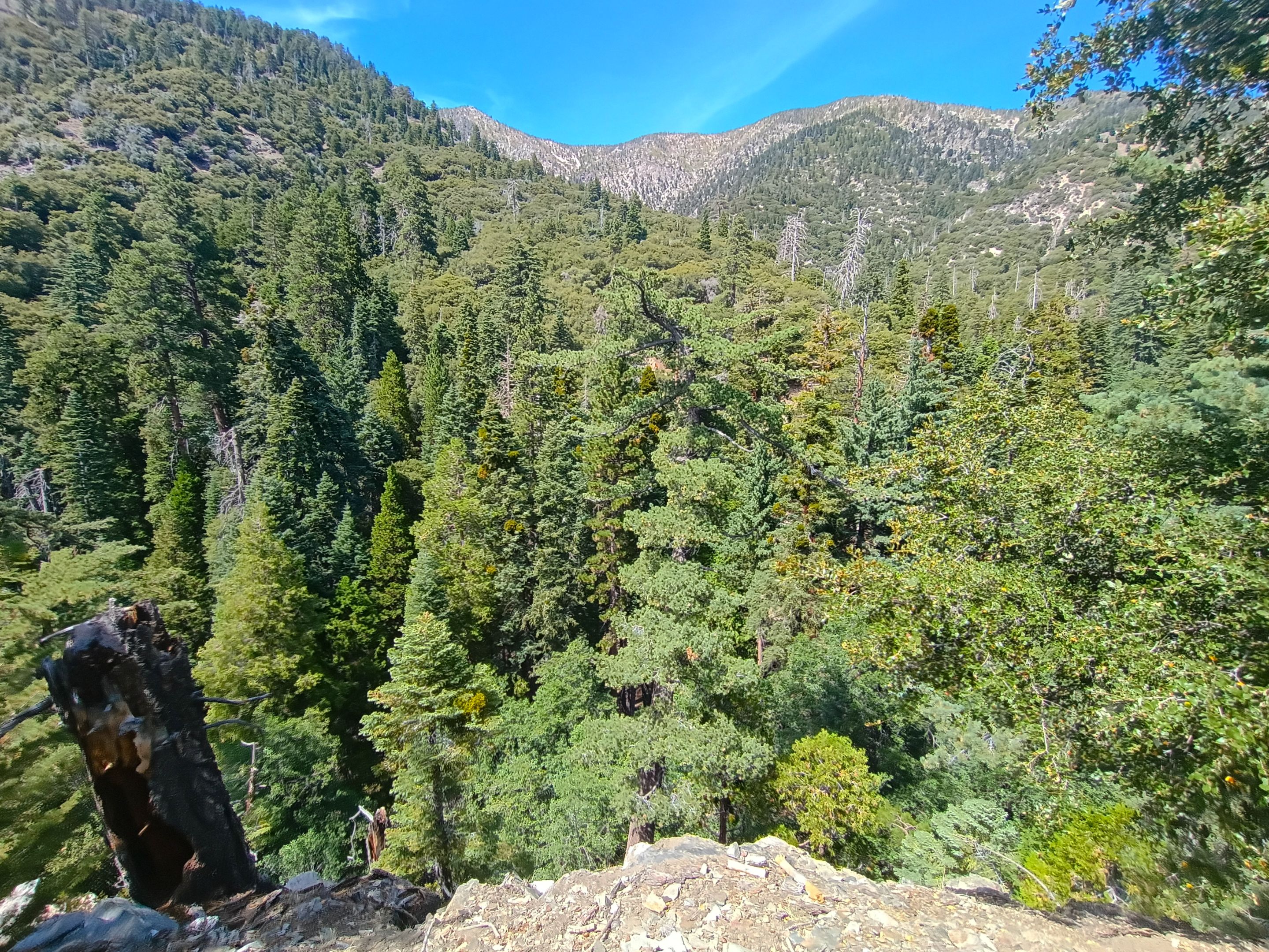
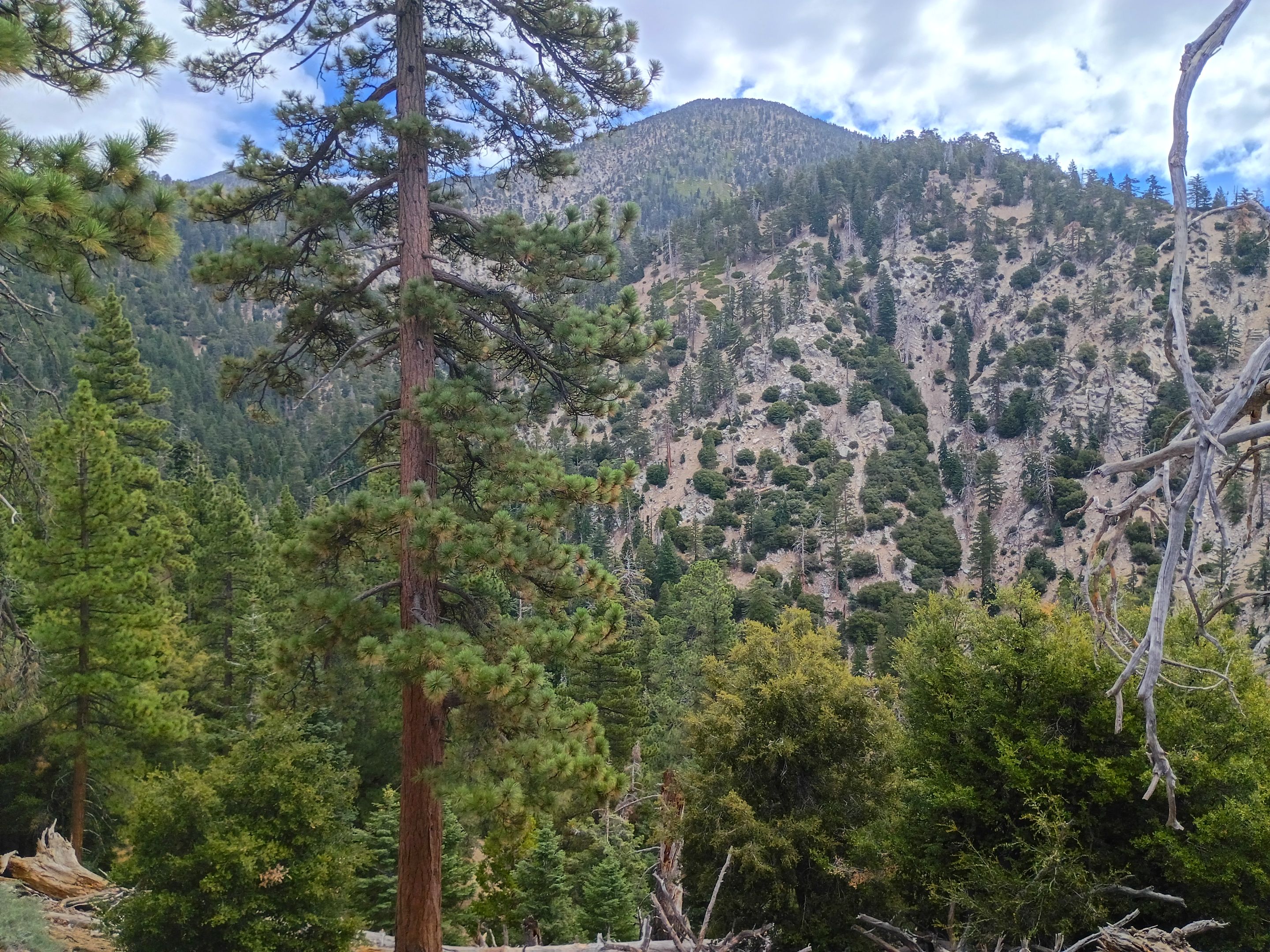 Falls creek canyon and Dobbs peak(top center)
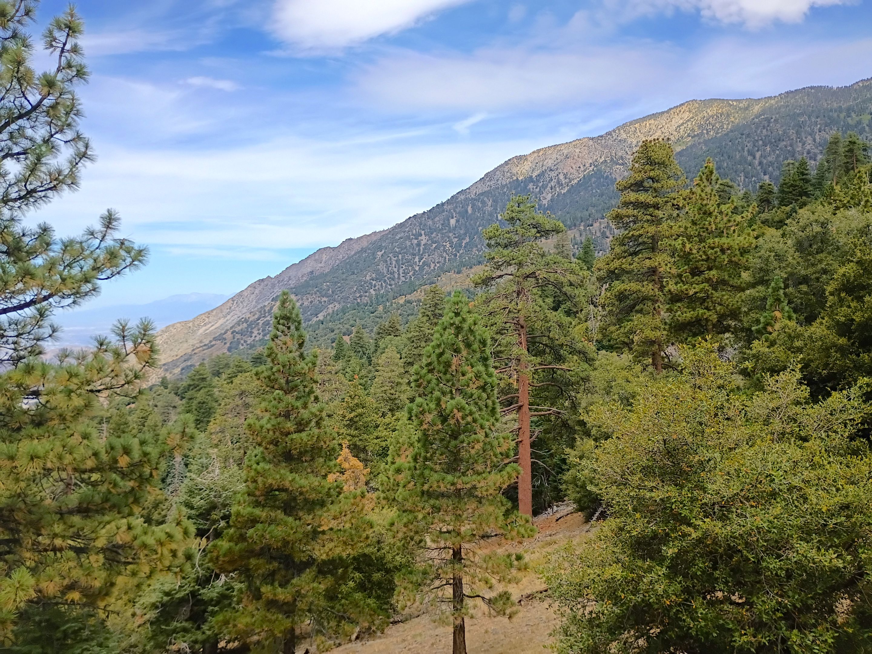 Views of San Bernardino peak from the trail
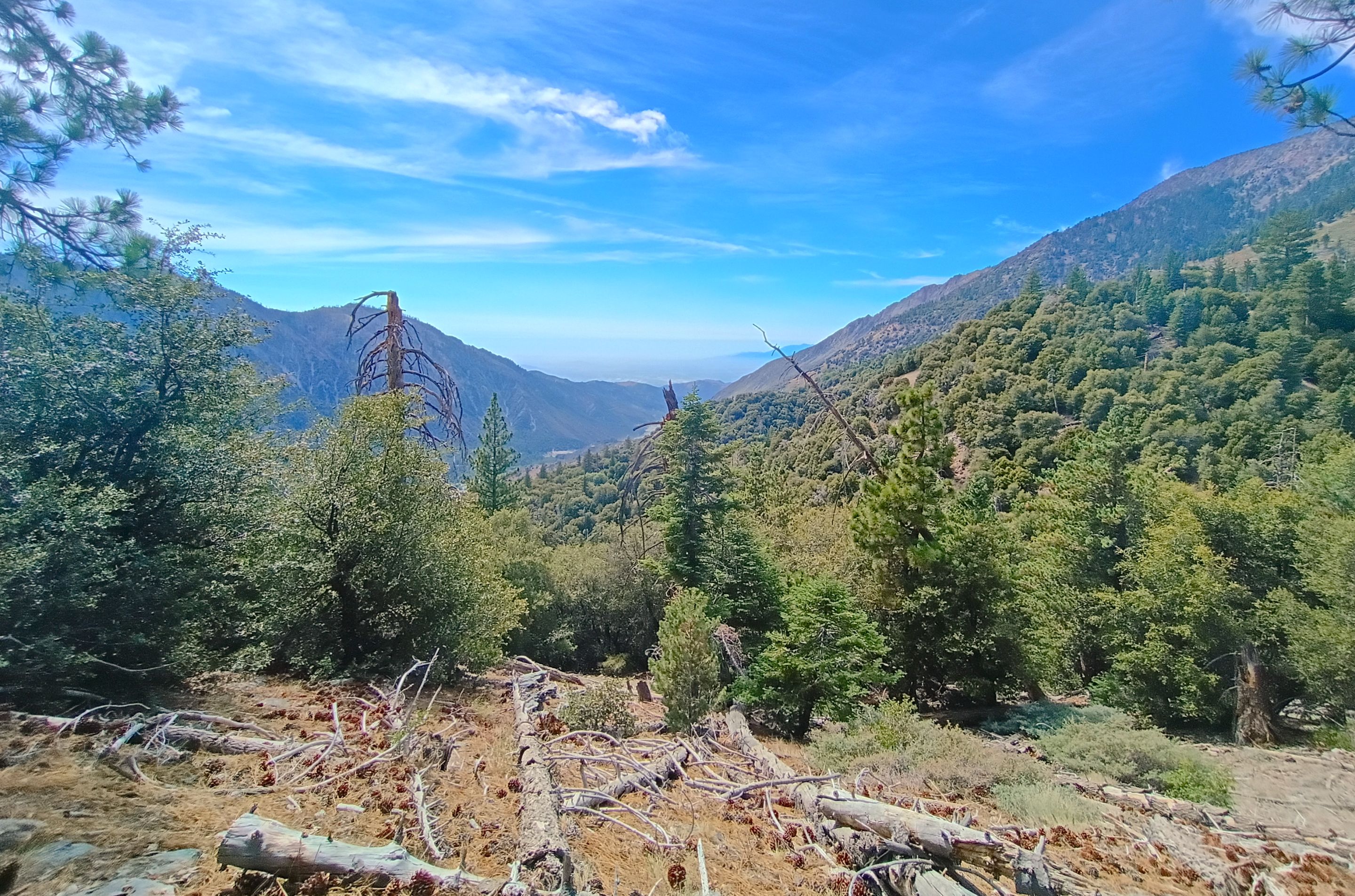
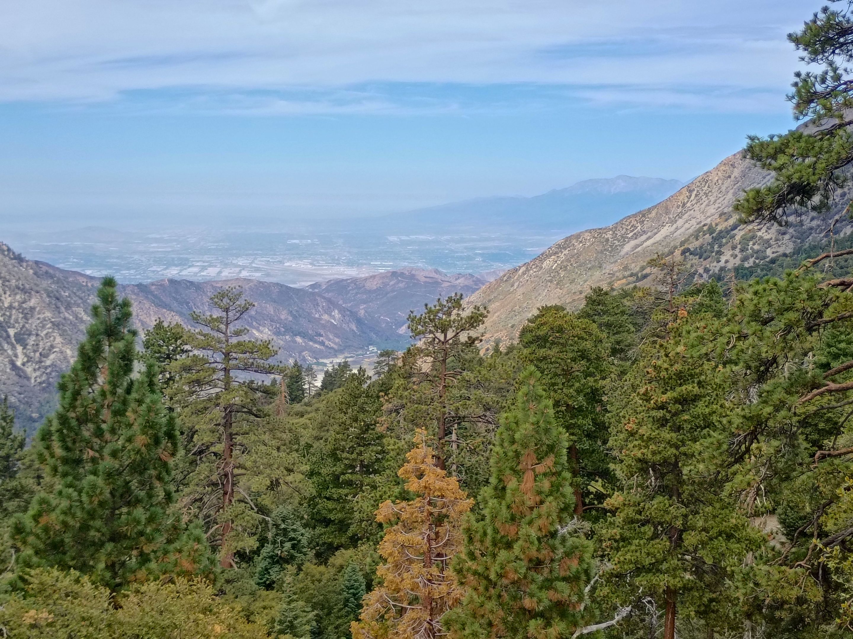 Views looking out to the valley
 Going back through Alger creek
 Exiting the wilderness boundary
 Dropping back down into Mill creek canyon
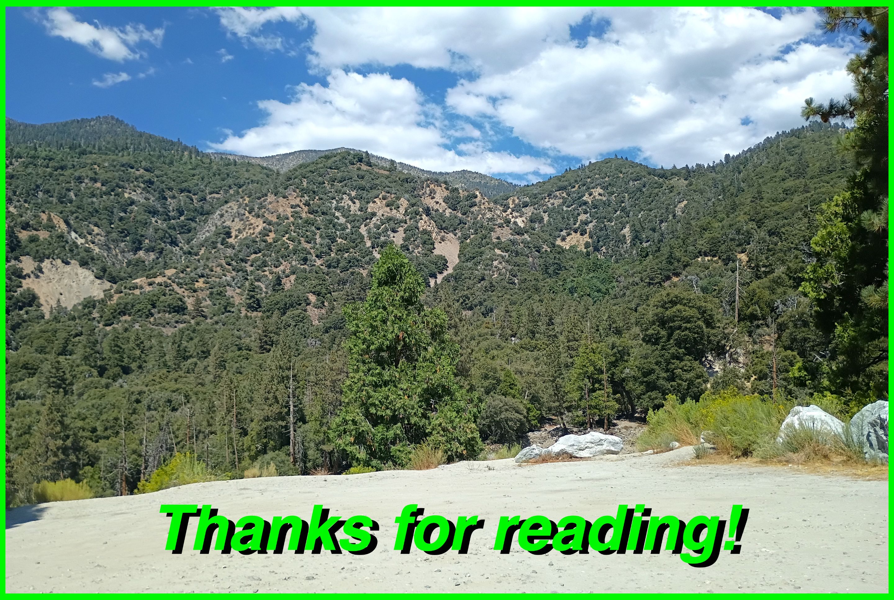
And so until next time...
I hope you have enjoyed this glimpse into
My California!!
all photos by @derekrichardson

#SoCalHive is building and supporting the Hive Blockchain community in Southern California. If you are from SoCal and are into creating quality content here on Hive, we'd love for you to follow us @theSoCalHive and join our group on Discord