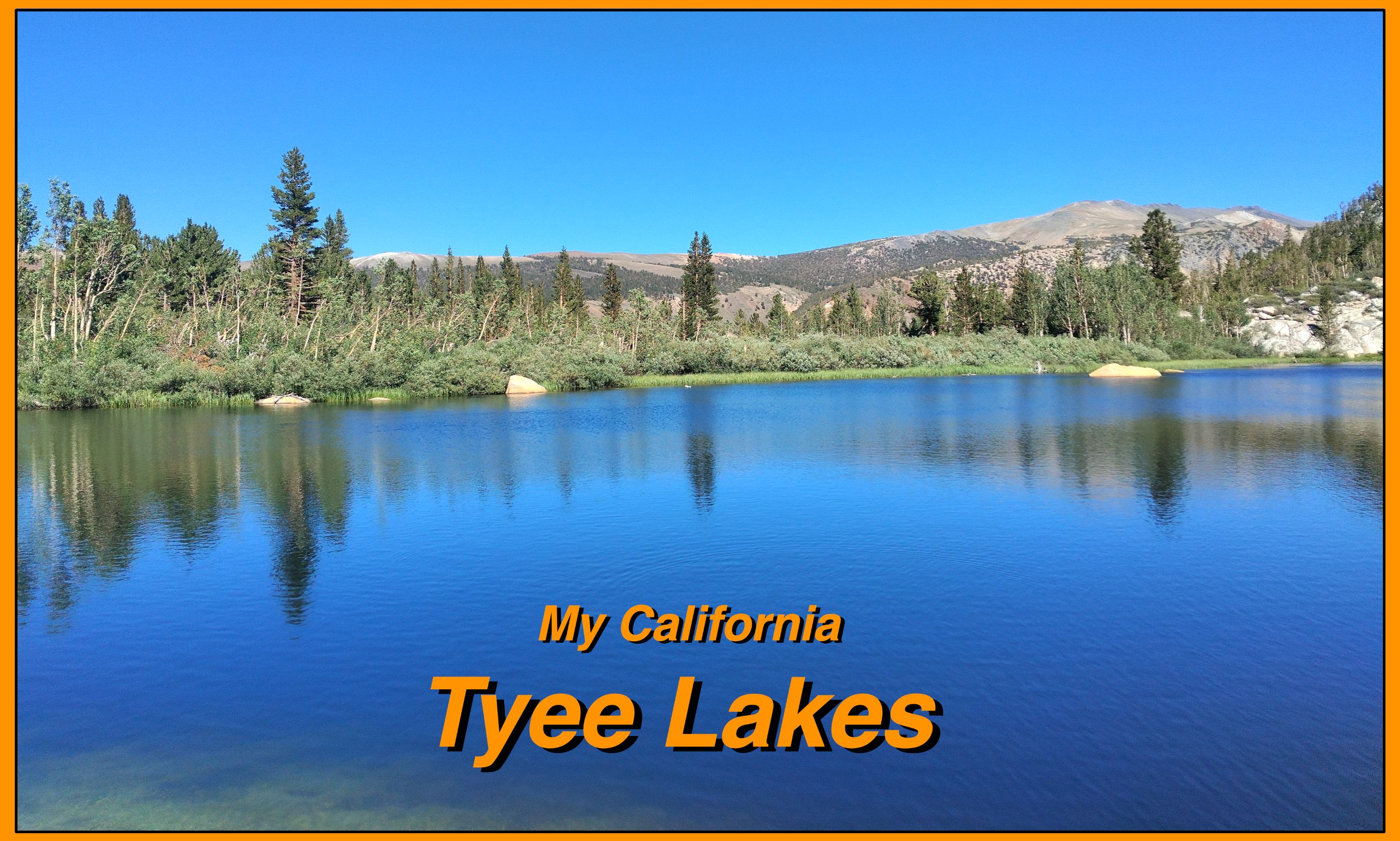
For this weeks [Show Us Your California](https://peakd.com/mycalifornia/@thesocalhive/show-us-your-california-contest-week-220) contest by @thesocalhive I headed up into the Sierra Nevada mountains for a 3 day trip to the...
Tyee Lakes!!

Me and my buddy Larry's birthdays are a week apart and so for a dual birthday trip we wanted to do some backpacking in the the Eastern Sierra Nevada mountains. I had originally planned for us to spend a few days at the Lamark lakes. But when I went to get a permit there were none available for that trailhead. But luckily I was able to get permits for a different trail in the area... the Tyee lakes trail! We drove up highway 395 and met the rest of our group, our friends Ryan, Sophia, and Shane, at the Mt. Whitney cafe in Lone Pine. We had breakfast there and then they followed us up to Bishop and then up Bishop creek to the Lake Sabrina trailhead parking where our trip would end. Ryan left his truck there and we all packed into Larry's car and drove around to the South Fork of Bishop creek to the Tyee lakes trailhead where our trip began.
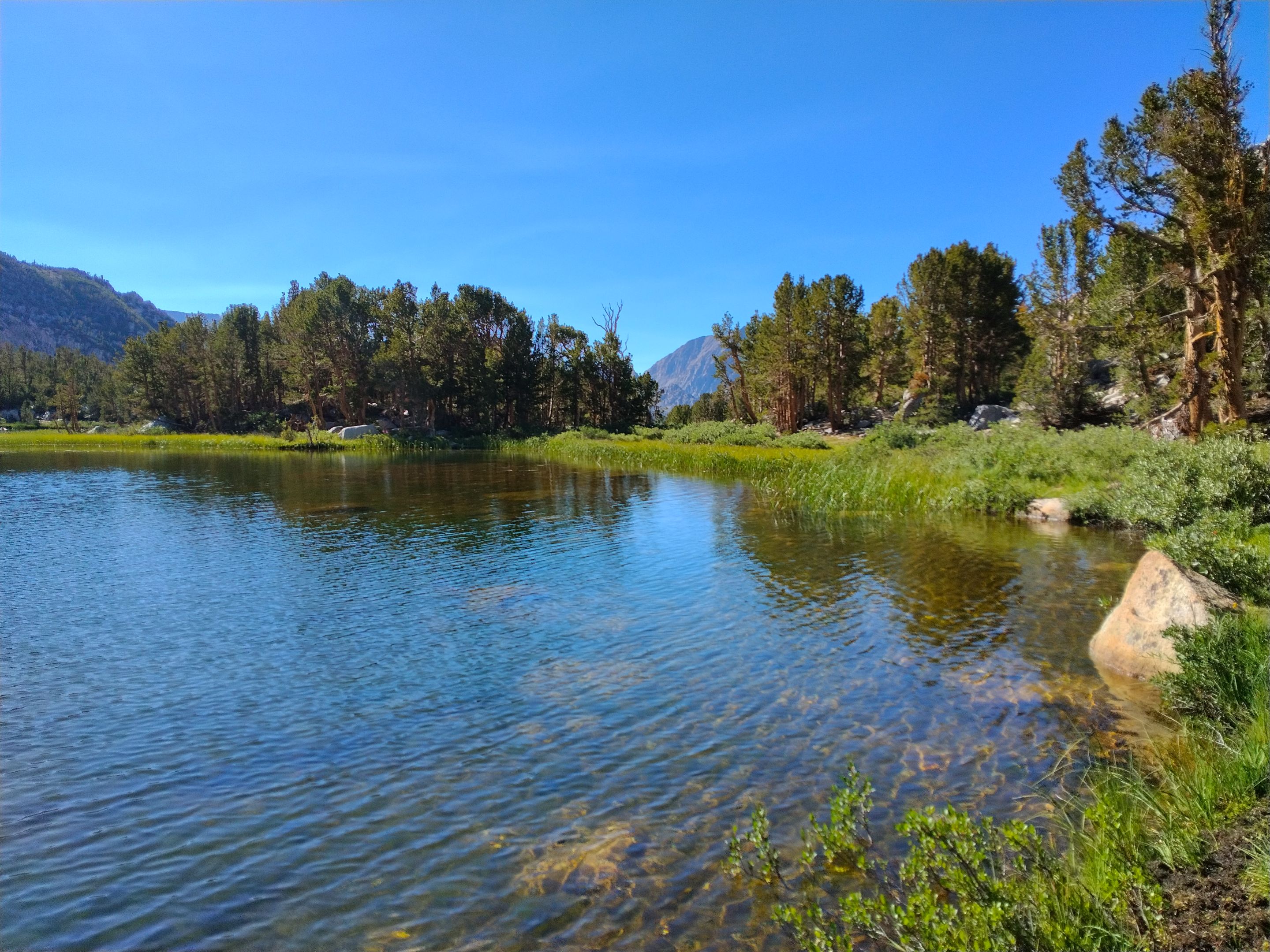
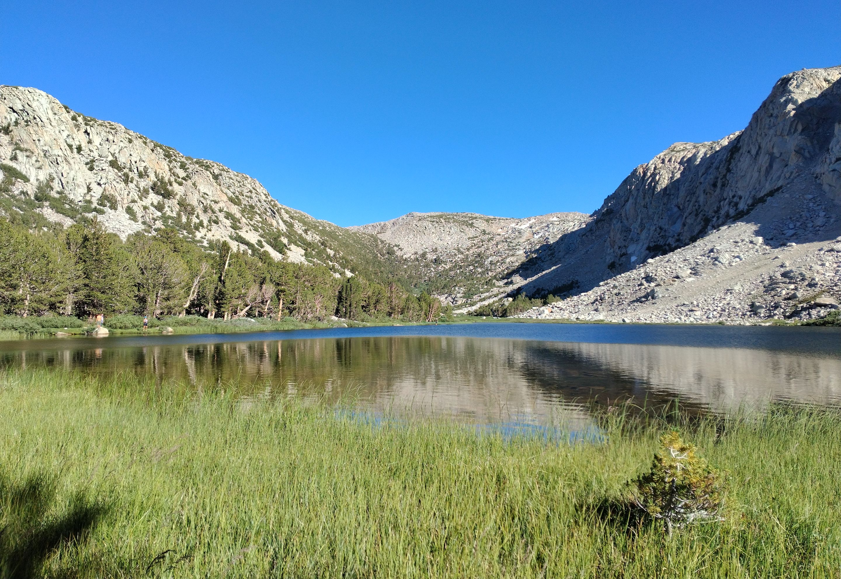
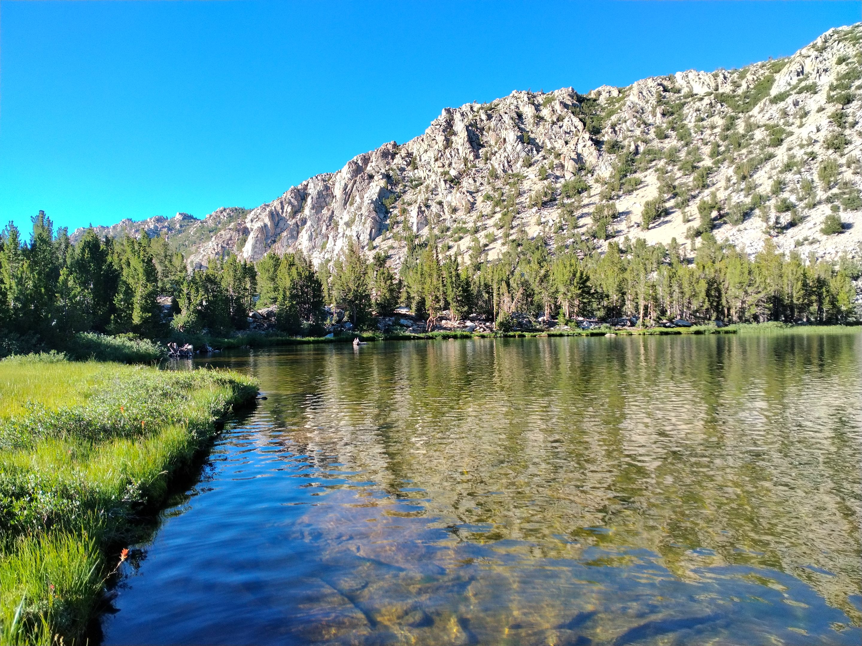
The trail started by crossing the creek on a small foot bridge and then switchbacked steeply up the west side of the canyon. The trail was mostly shaded with pine forest but occasionally opened up giving us views across the canyon. Eventually we got to where the trail crossed Tyee creek and we stopped for a quick break there. From there it wasn't much farther to the first of the six Tyee lakes where we stopped again and set down our packs and did some fishing. Everyone was feeling good, but Larry had overpacked (as usual) and his heavy pack was slowing him down and so we had to wait for him awhile at the lake, but we didn't mind too much since we were having fun catching a bunch of trout! After Larry caught up we started climbing steeply up to the Second lake. The second lake was shallower and very meadowy with grasses all around it. It was really pretty and we stopped and took a few pictures, but it didn't look as good for fishing so we didn't stay long. From there the trail continued switchbacking up steeply. At the end of one of the switchbacks we got a view of the Third Tyee lake, but it was quite a ways off trail and we were starting to get tired and were looking forward to getting to the Fourth lake where we planned to make our camp. And it wasn't much farther. We arrived at the Fourth lake and there were lots of great camping spots, so we picked out the best one and got our camp setup. The fourth lake was much larger than the lower three and the scenery there was spectacular. And the fishing there was pretty good too and we hooked up a few more trout. Larry showed up about an hour behind us, but luckily still before the sun set. He got his tent setup and then we all hung out and enjoyed some drinks and dinner.
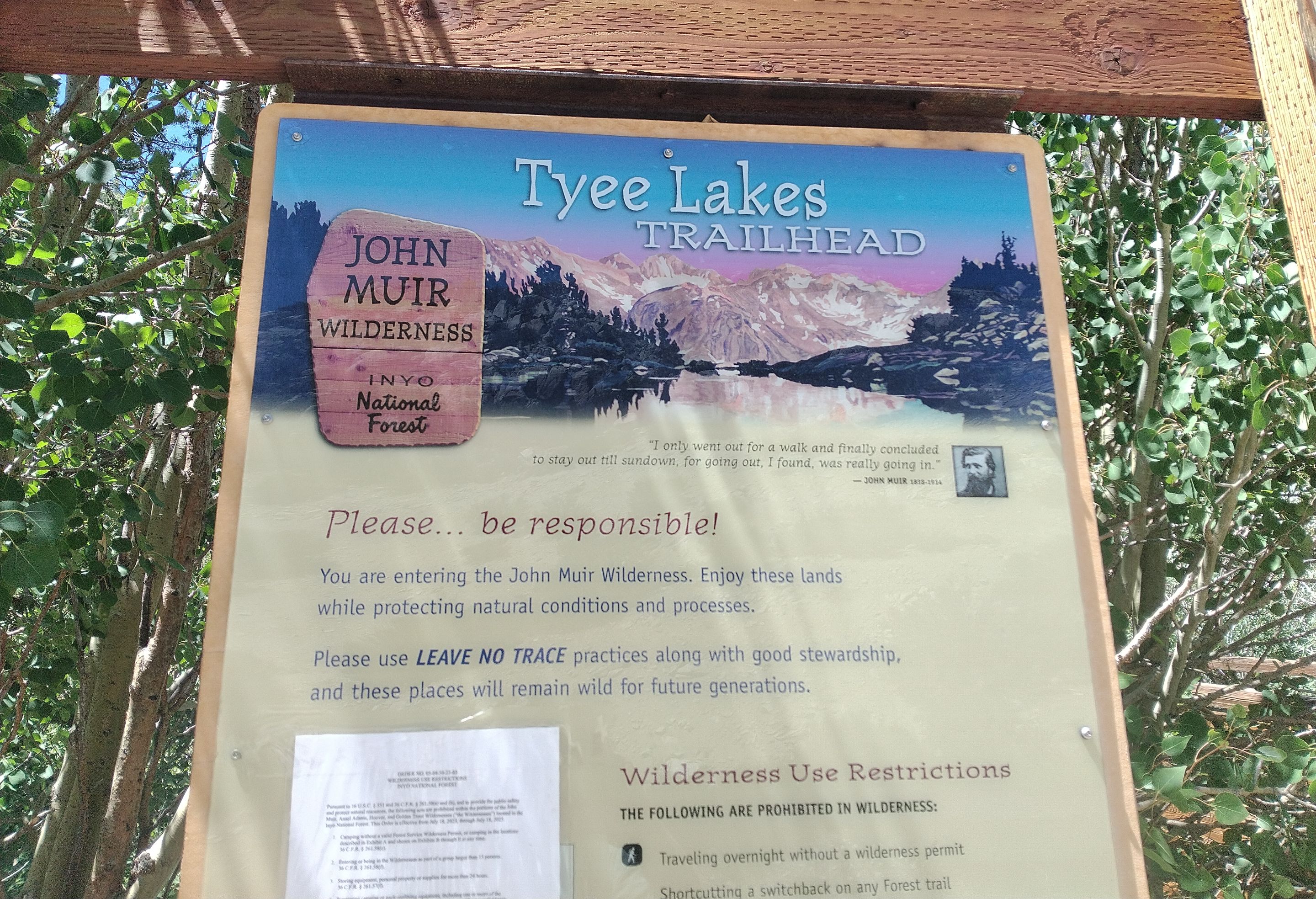 Trailhead sign
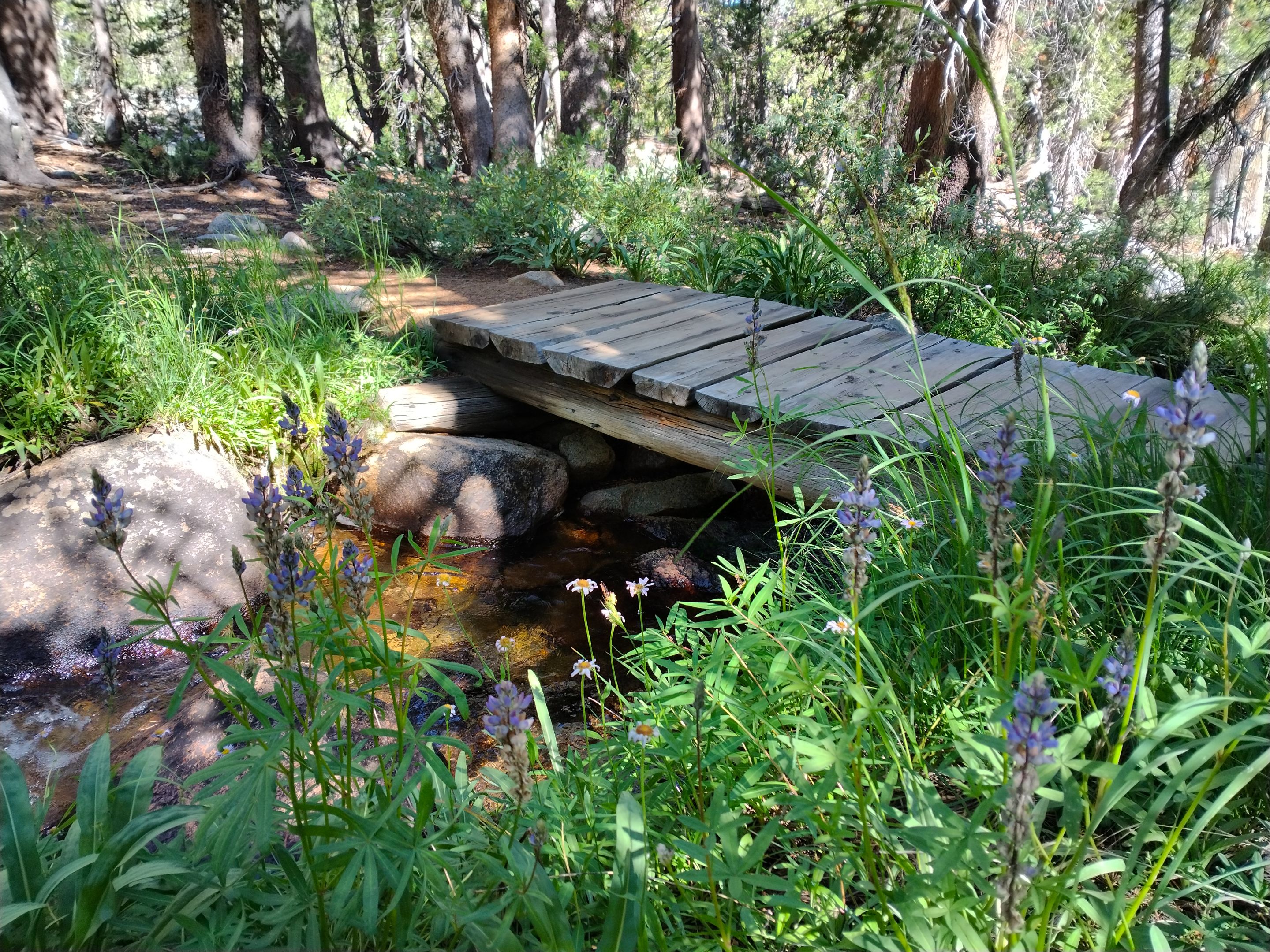
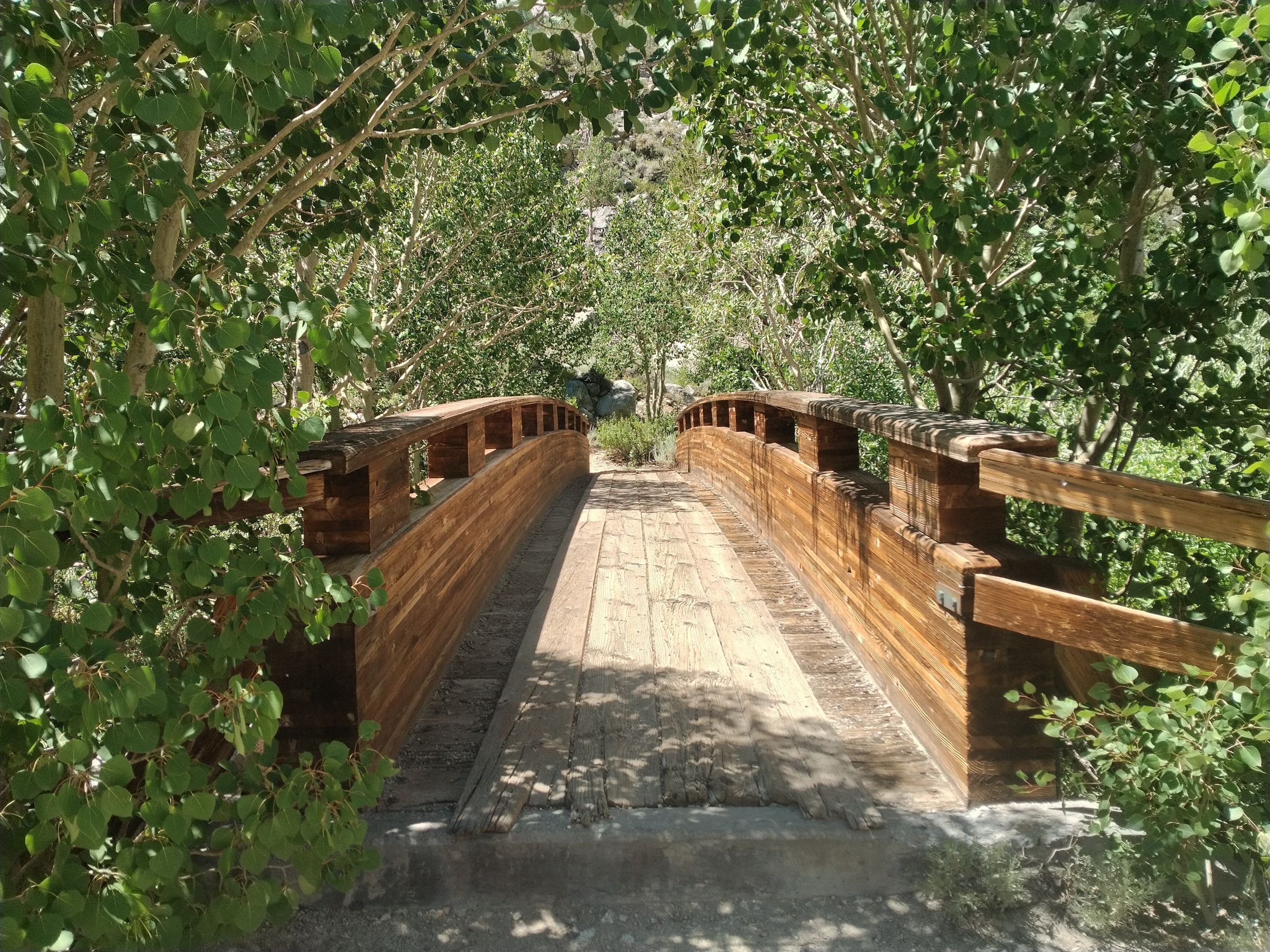 The foot bridge across the creek
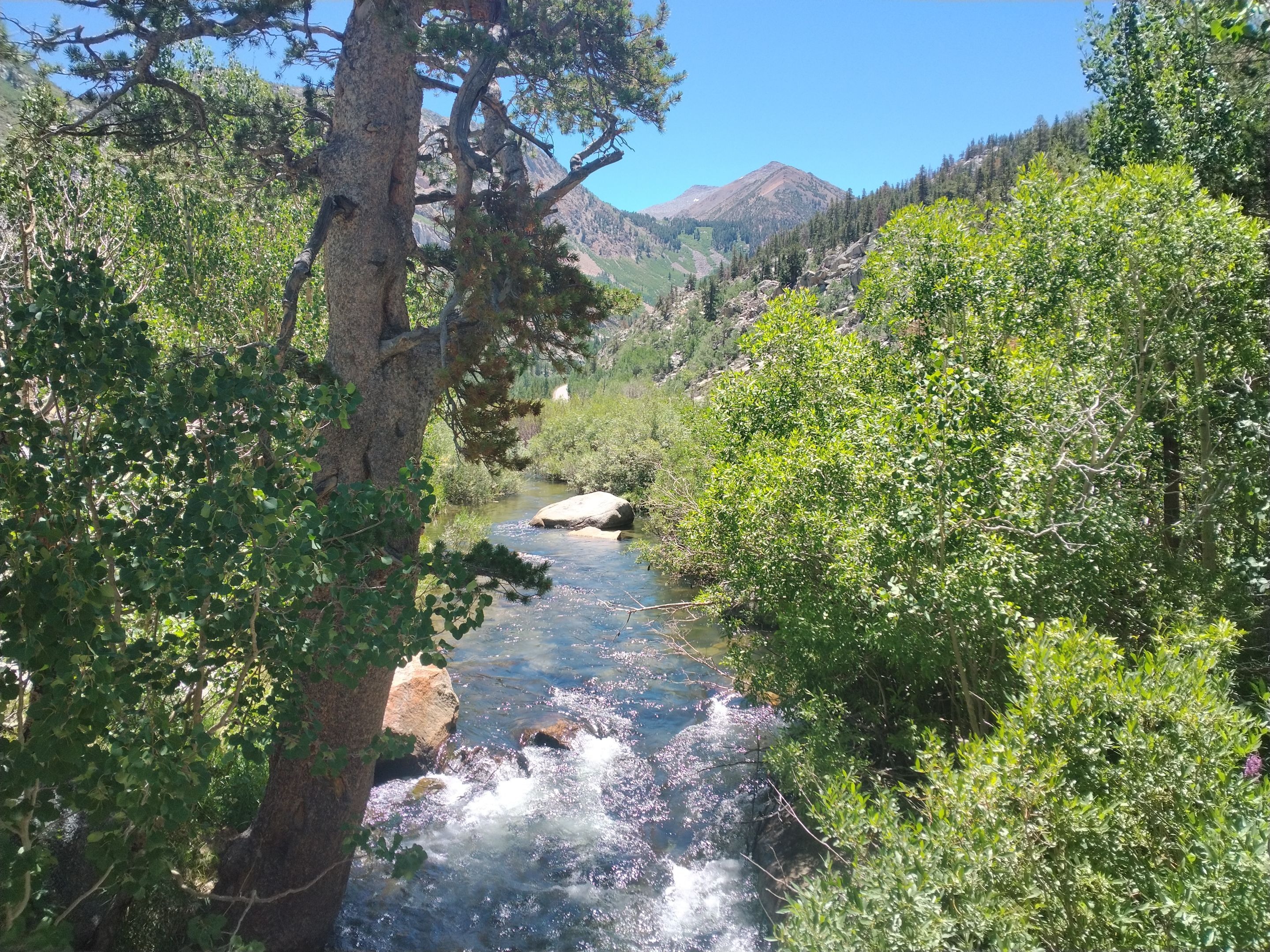 The south fork of Bishop creek
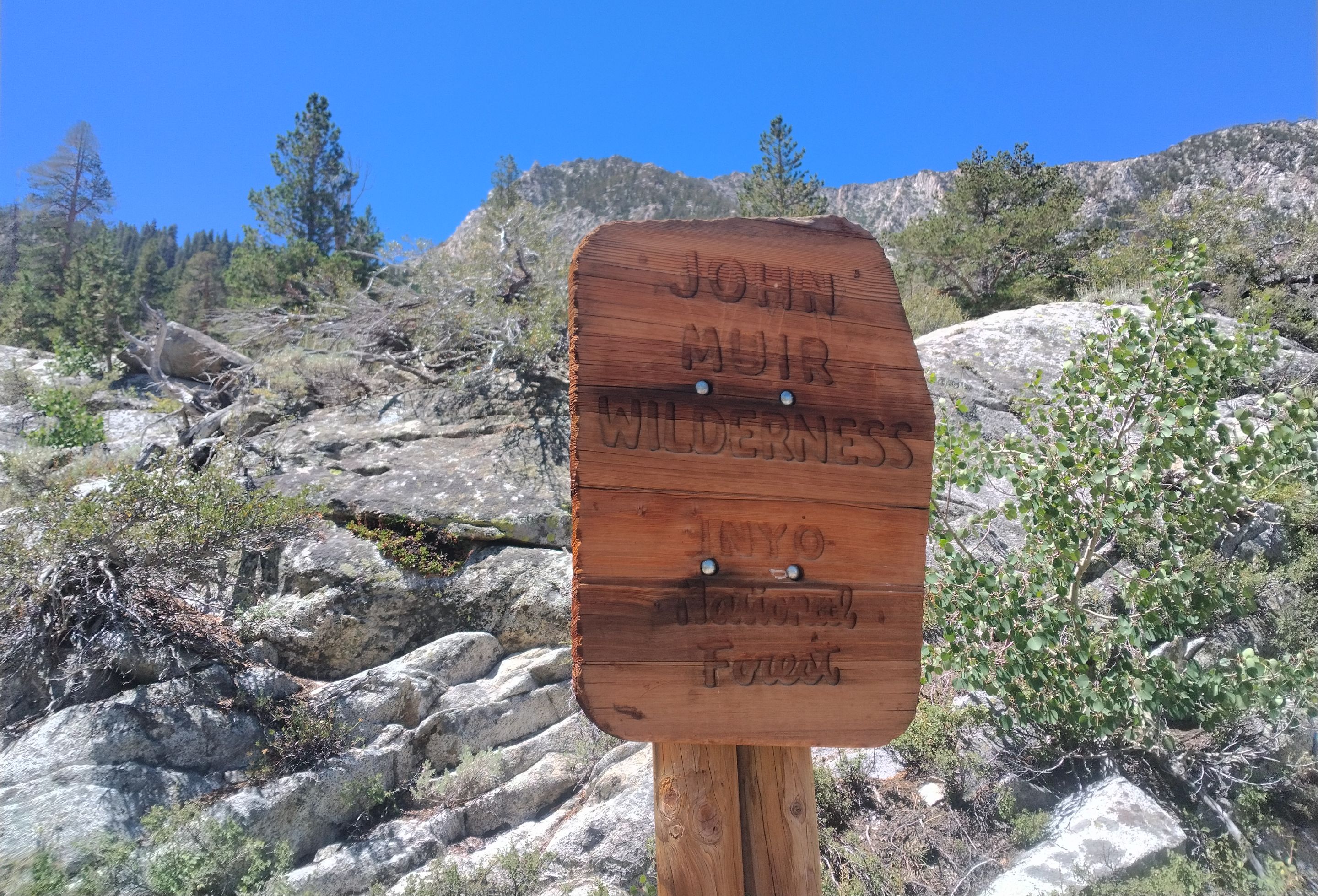 Entering the John Muir Wilderness
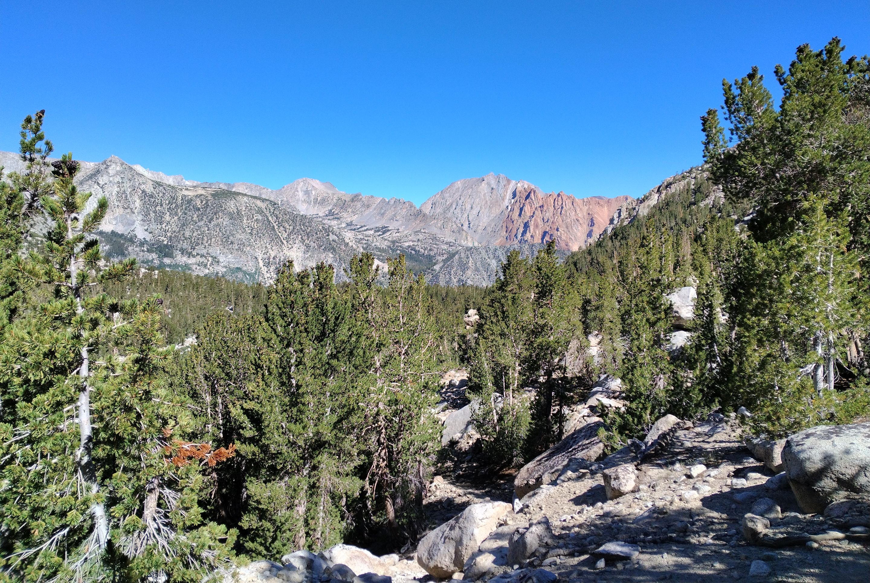
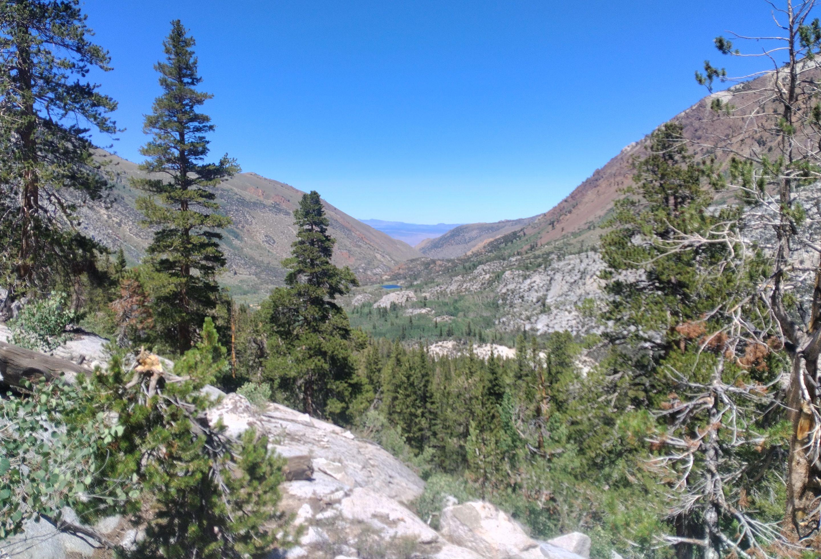 Views overlooking the canyon
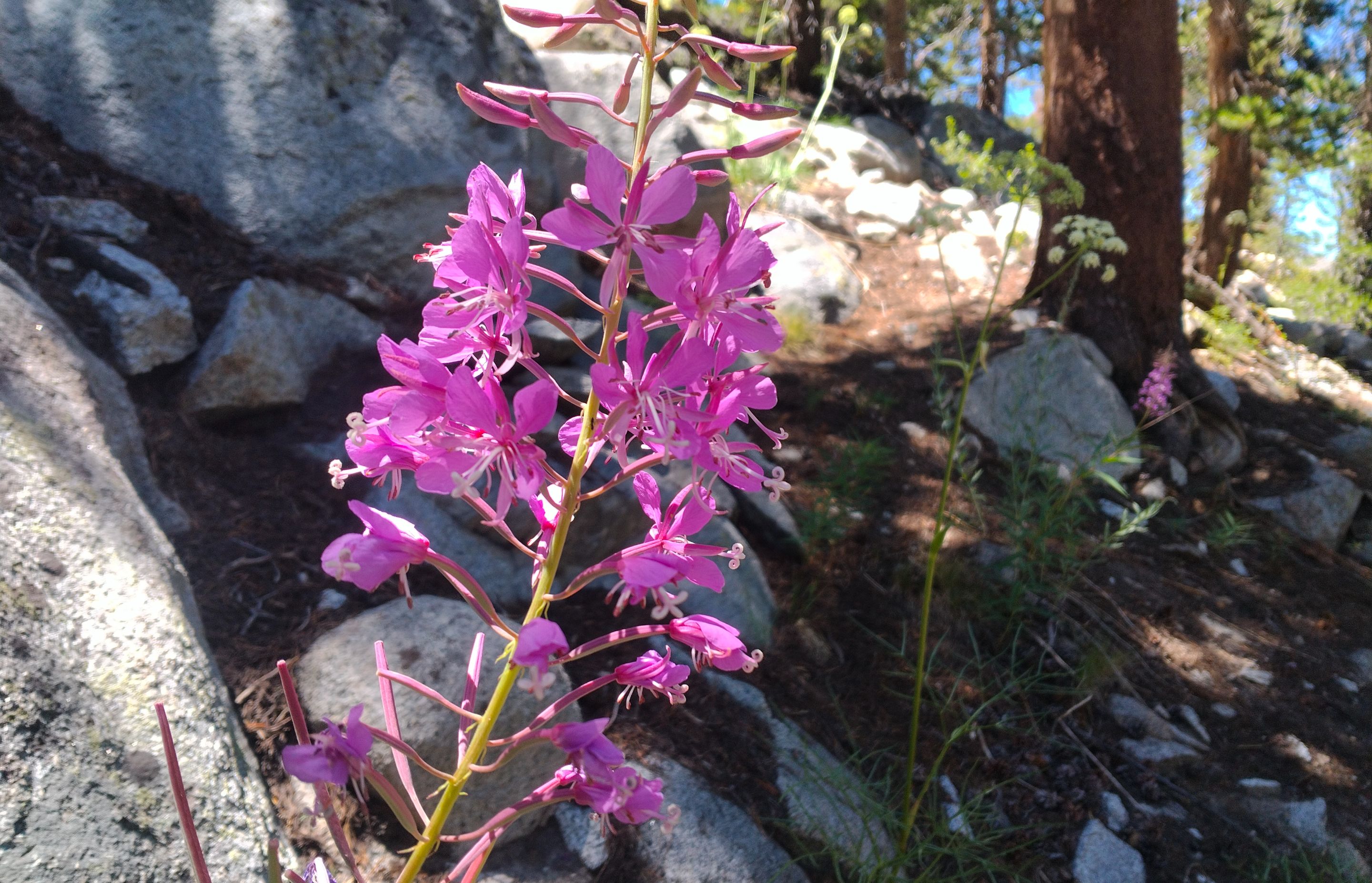 Wildflowers
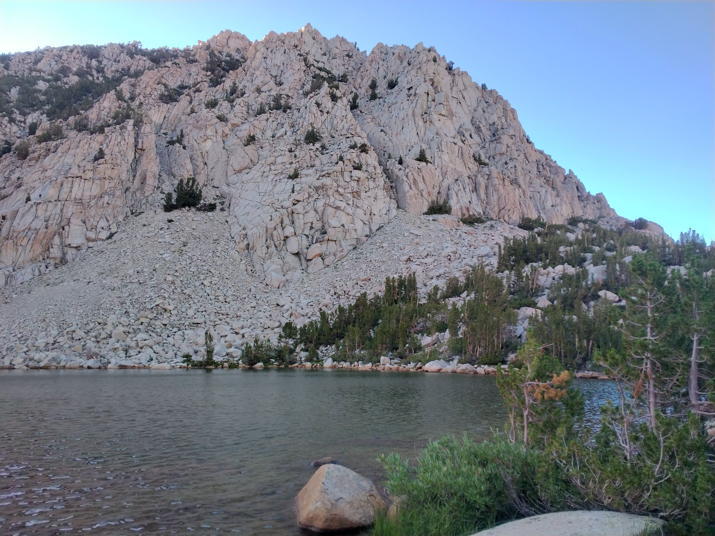
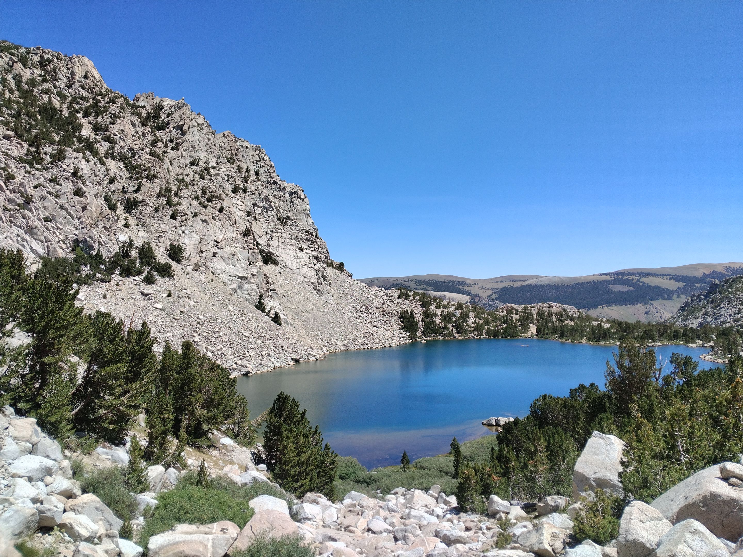
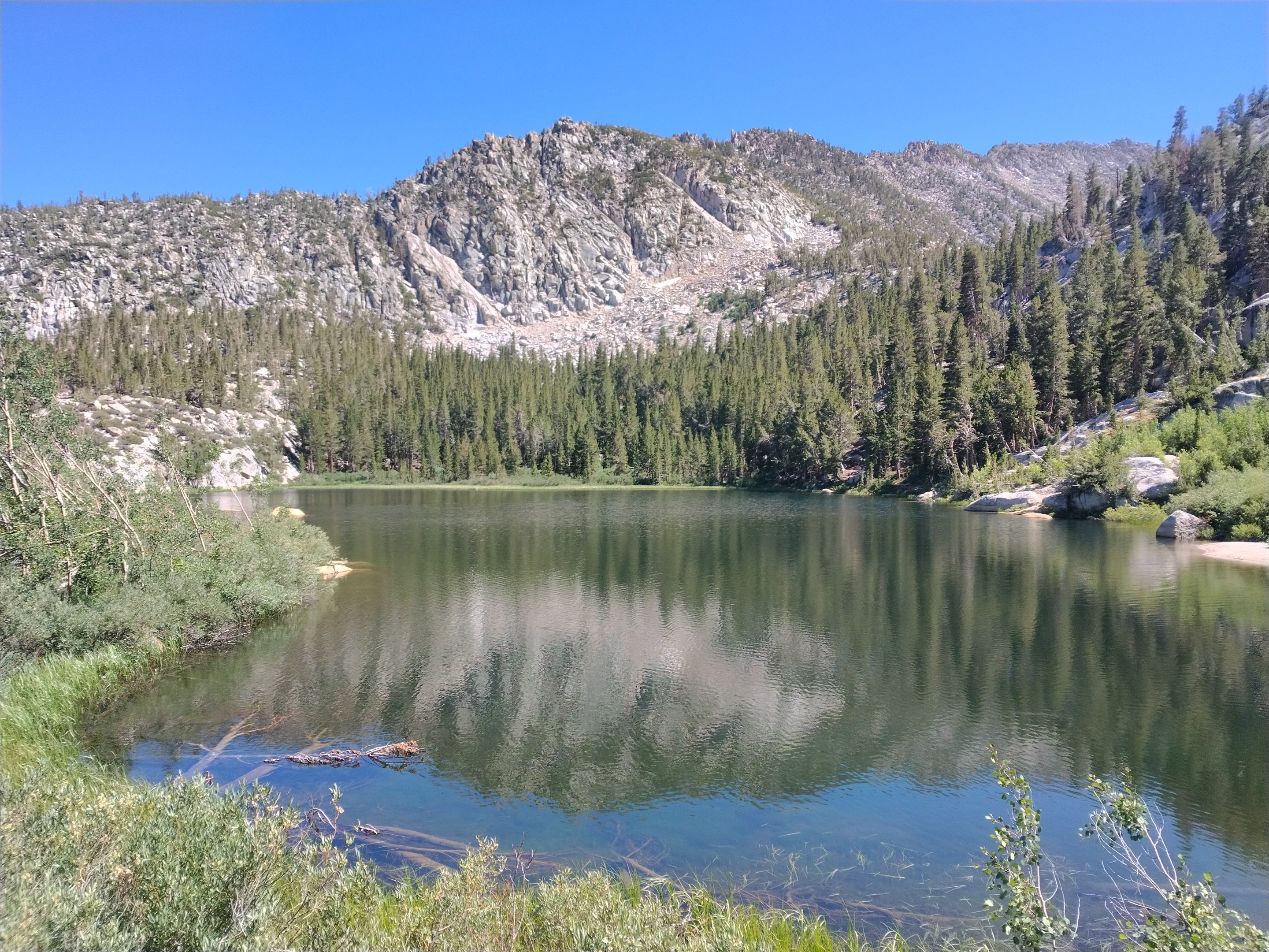 The first Tyee lake
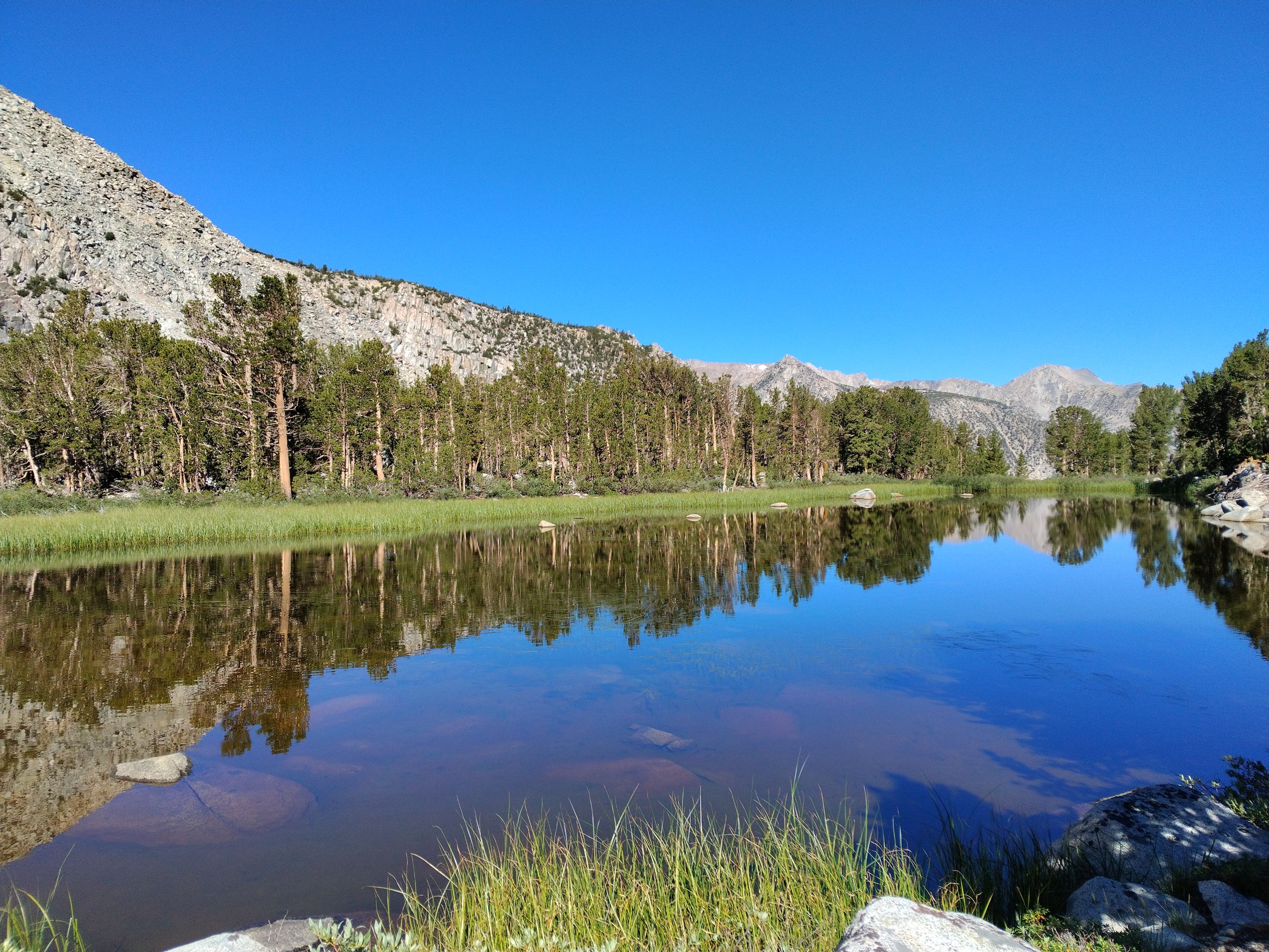
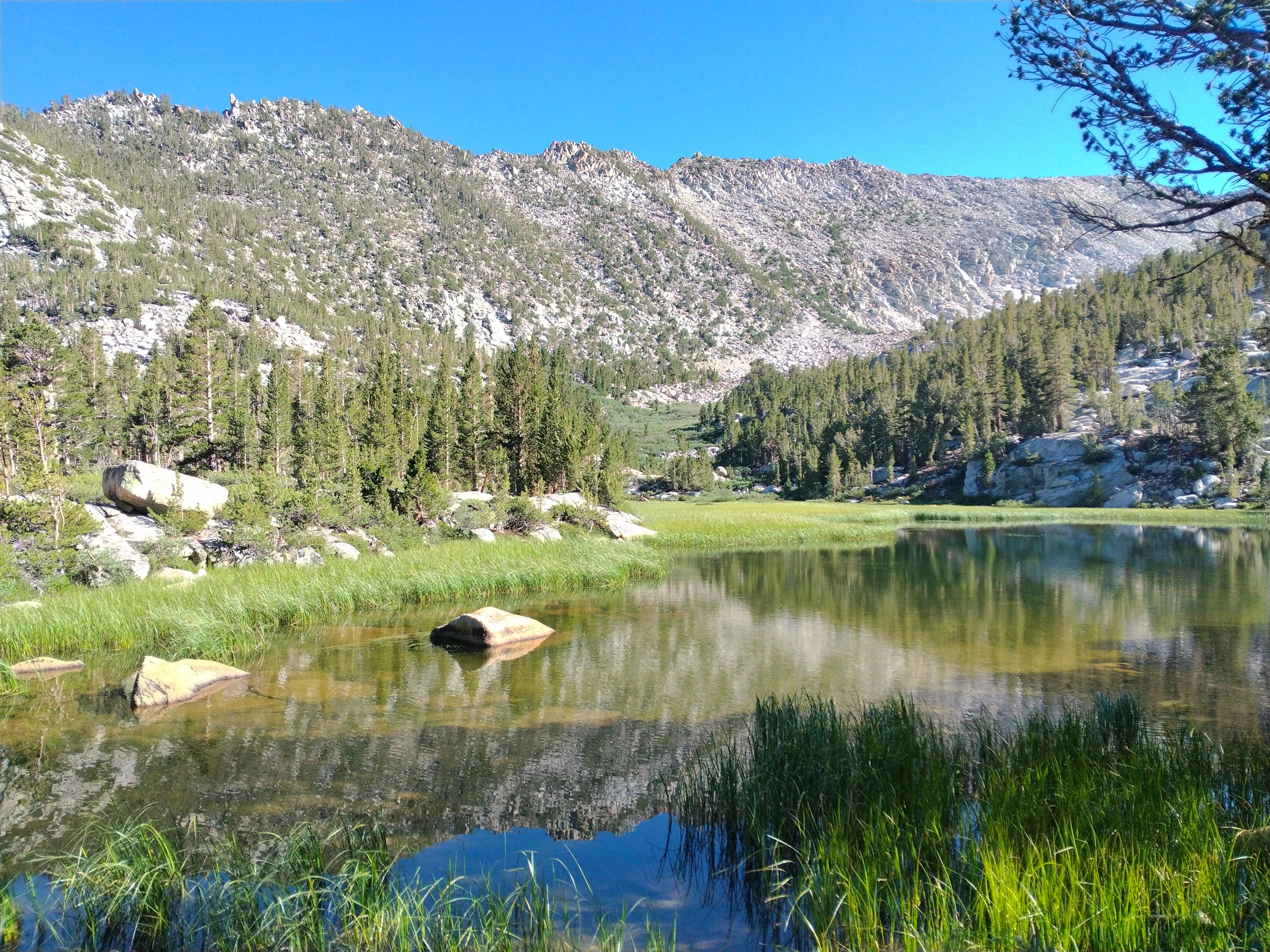 The second Tyee lake
 Arriving at the fourth Tyee lake
 Ryan at the fourth lake
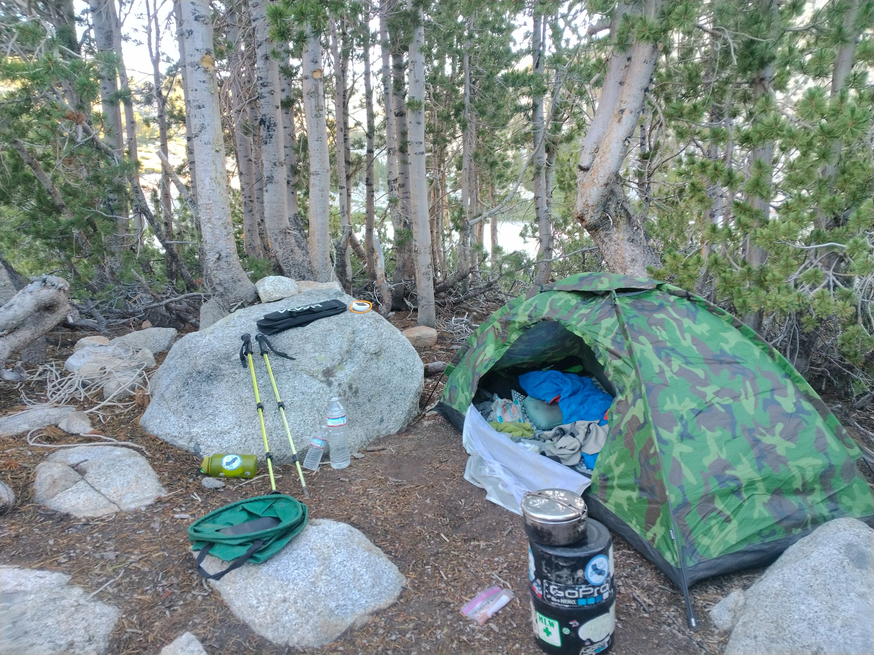 Setting up camp
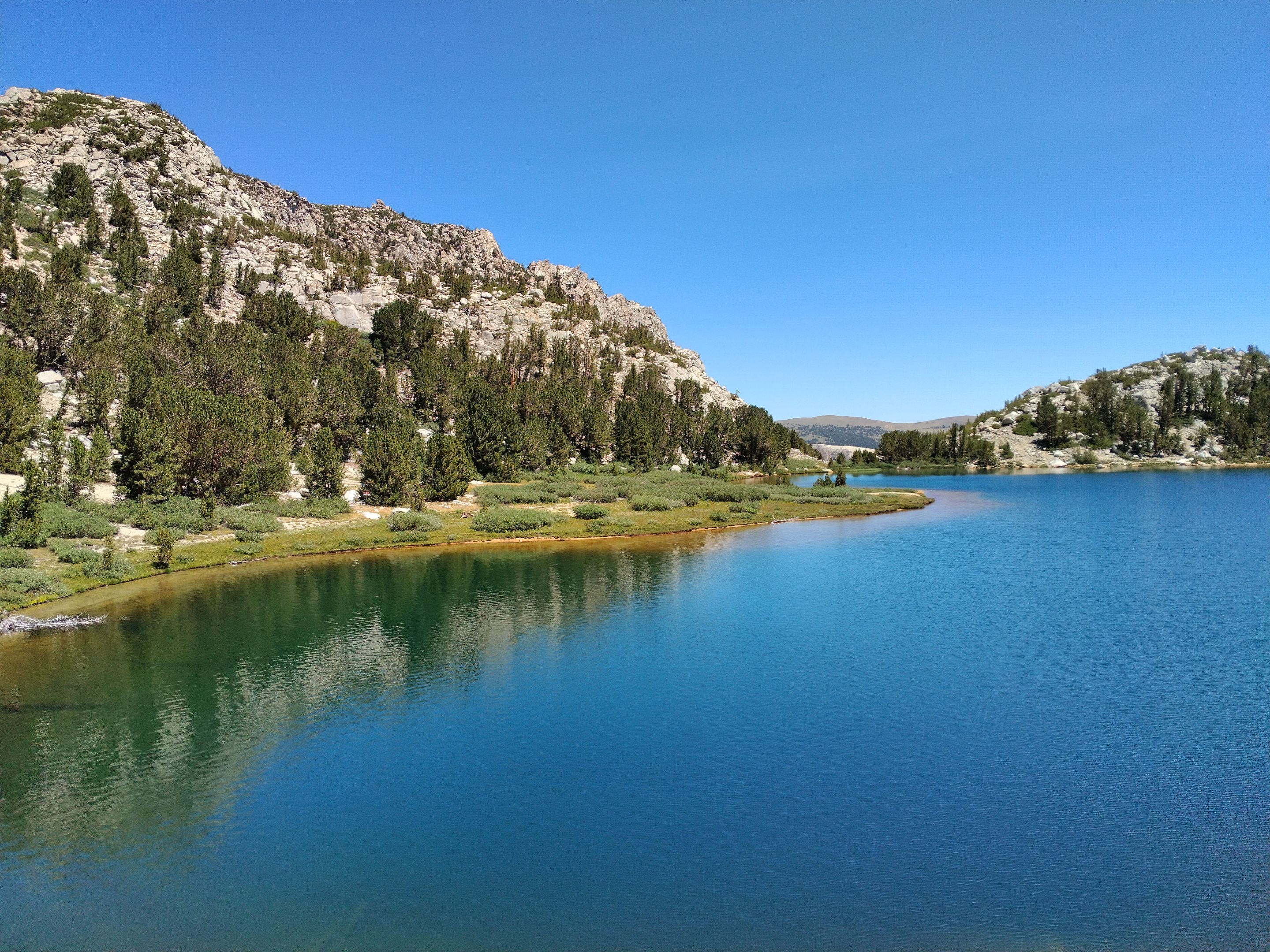
 Fourth lake scenery
 Fourth lake scenery
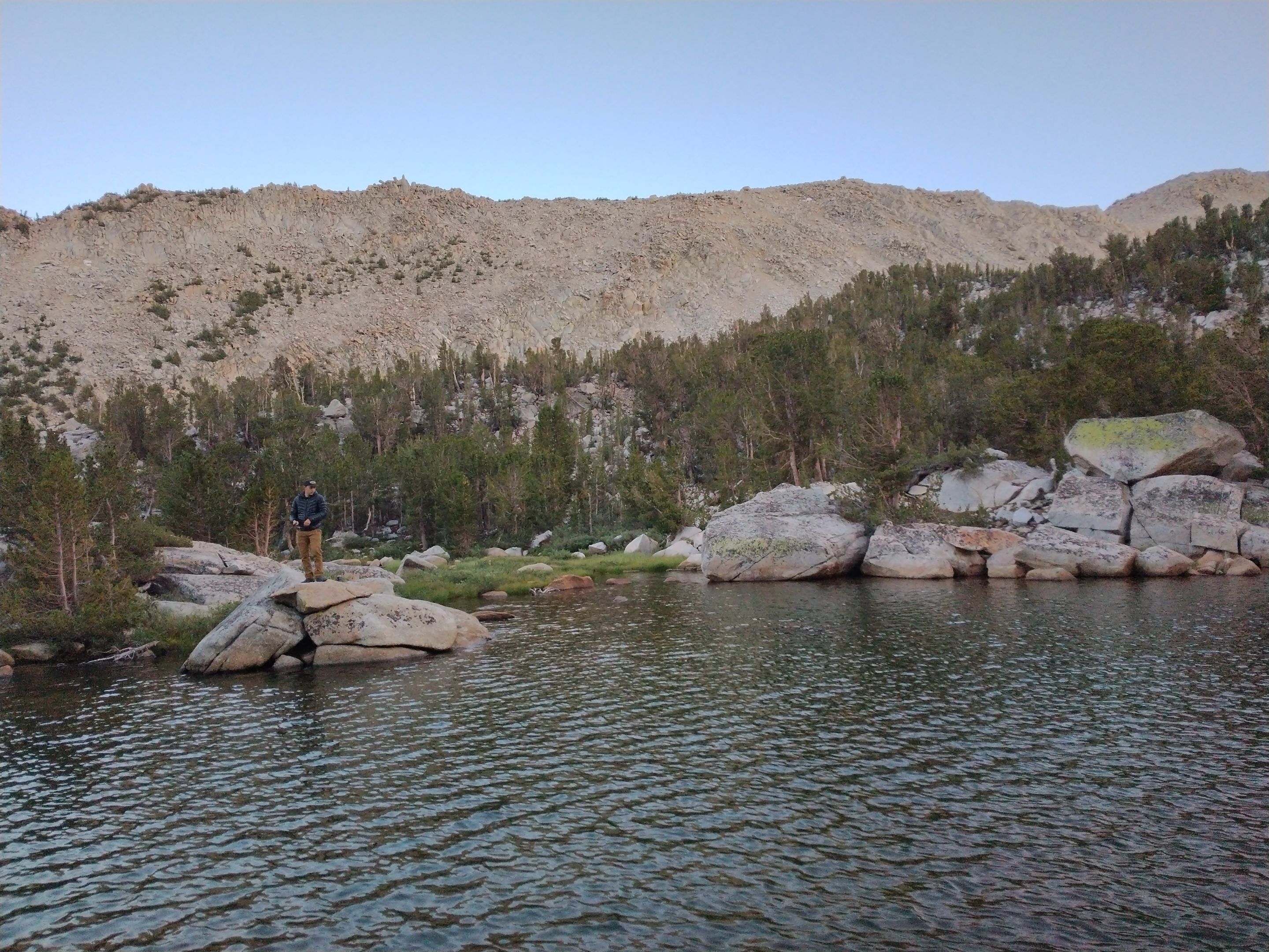 Ryan fishing for trout
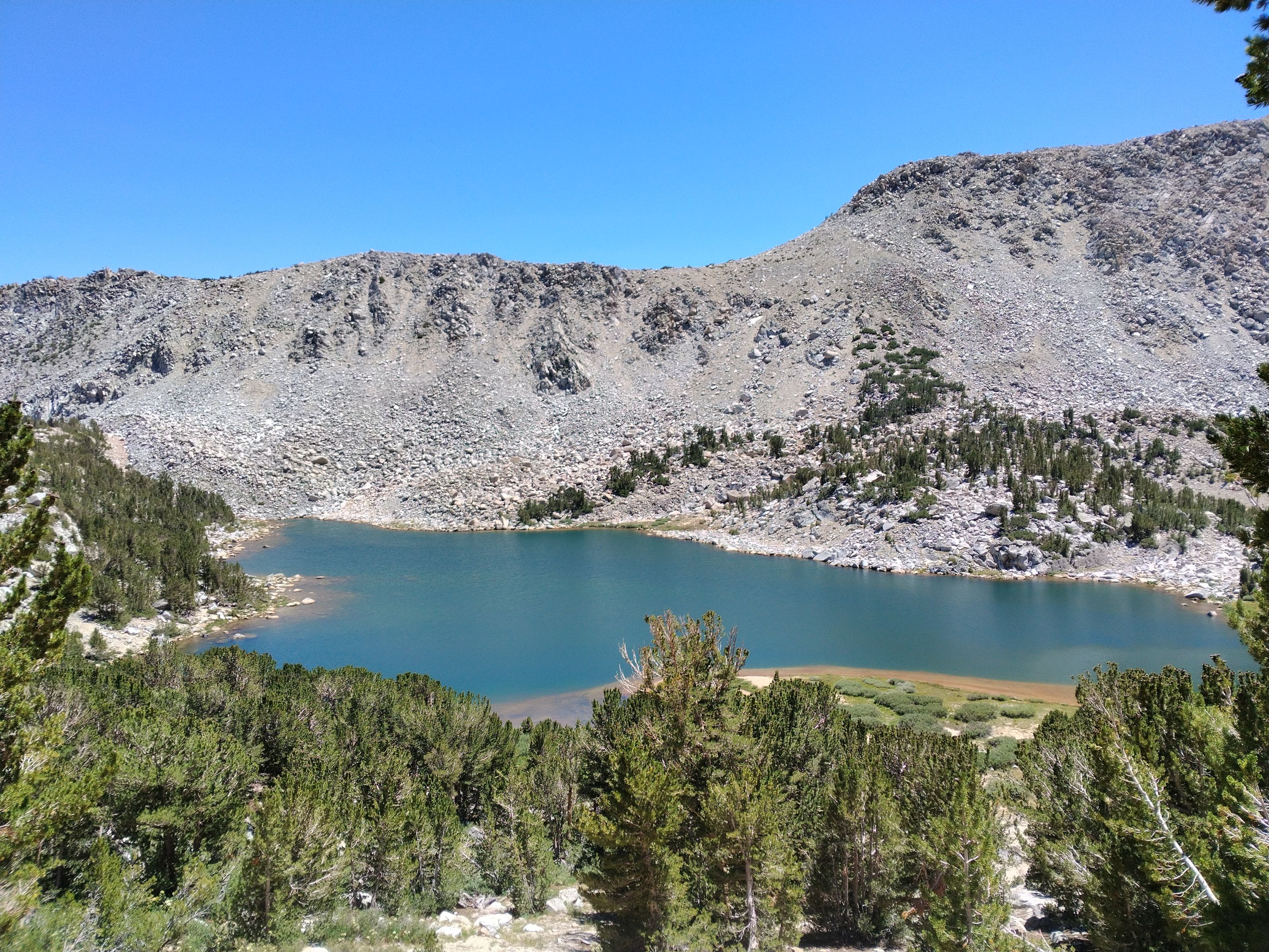
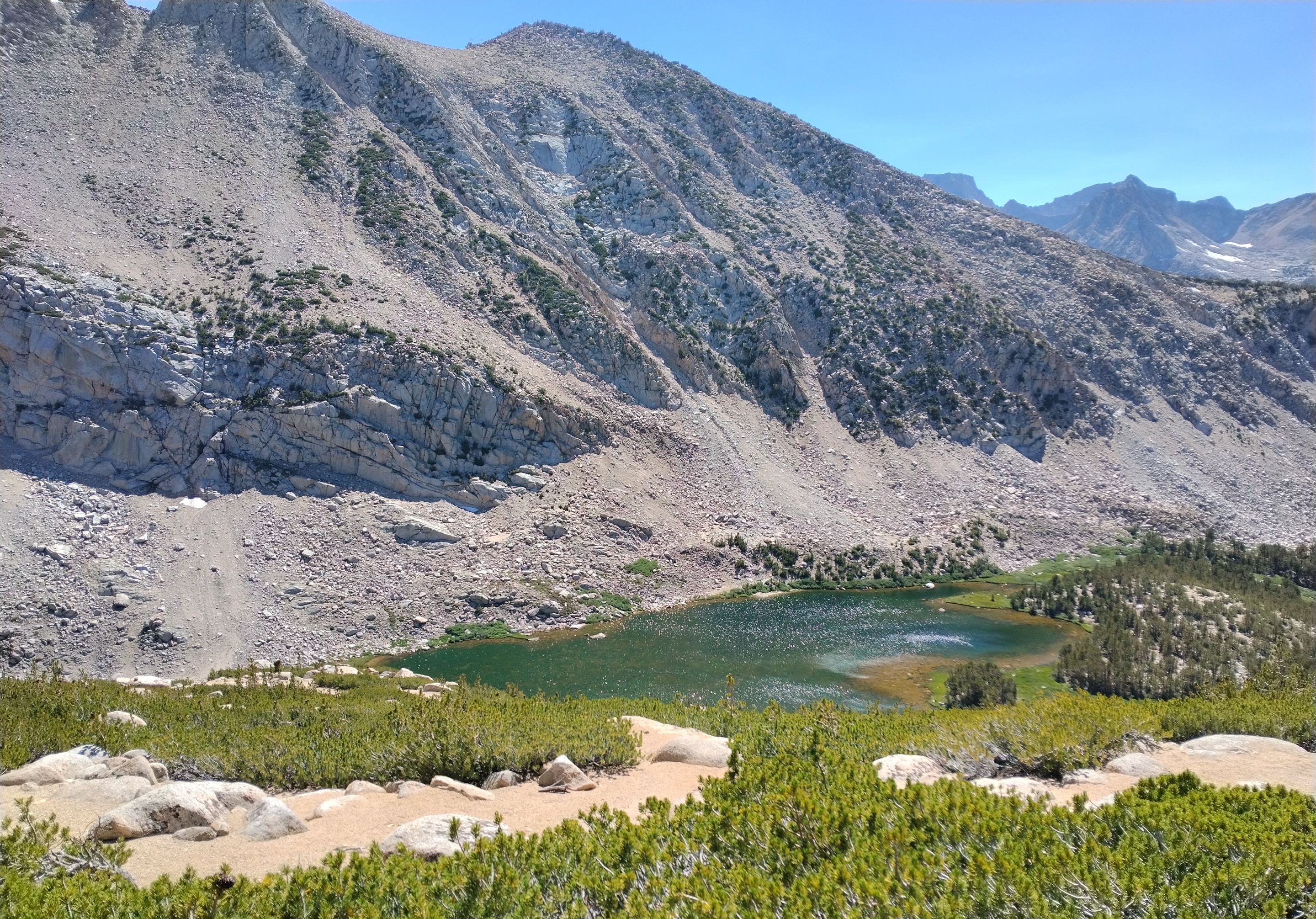
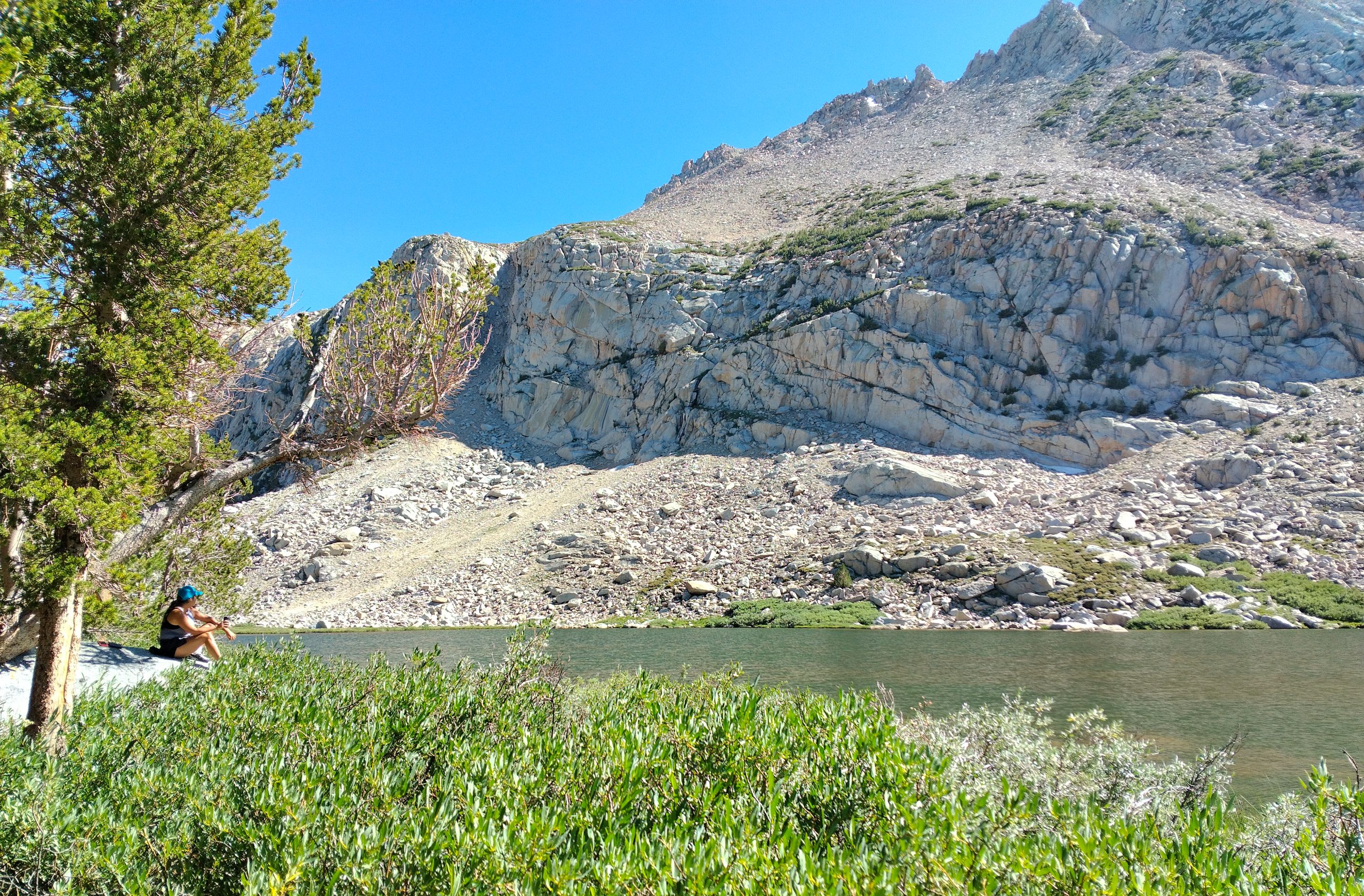
The next morning we woke up, made some breakfast, did a little more fishing, and then packed up camp and hit the trail. We climbed up above the fourth lake getting some nice views overlooking it, and then fairly quickly we arrived at the Fifth Tyee lake. The fifth lake was similar in size to the fourth and was also very scenic and had lots of good camping opportunities. Ryan decided he wanted to take a swim in the lake, everyone else (including myself) was too scared of the cold water. We found a spot to drop our packs and then started a short off trail side trek over to the sixth and final Tyee lake. We hiked around the fifth lake occasionally trying some casts with no luck. Then up through a small pass to the sixth lake where we hung out for a bit and tried some fishing there. We didn't catch any fish, but the sixth lake was really beautiful with big cliffs directly above it still holding some patches of snow.
 Morning at the fourth lake
 Overlooking the fourth lake from the trail
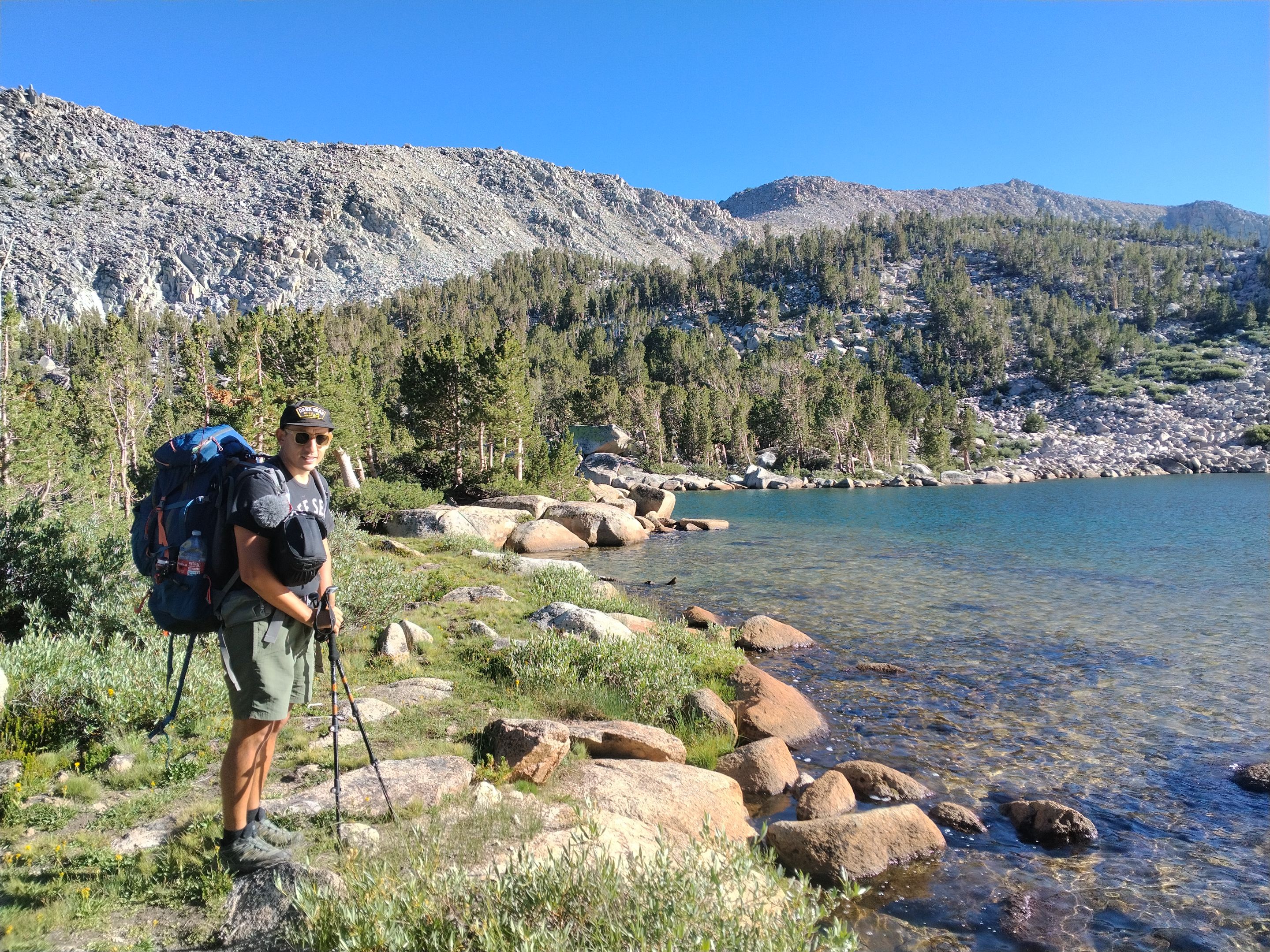
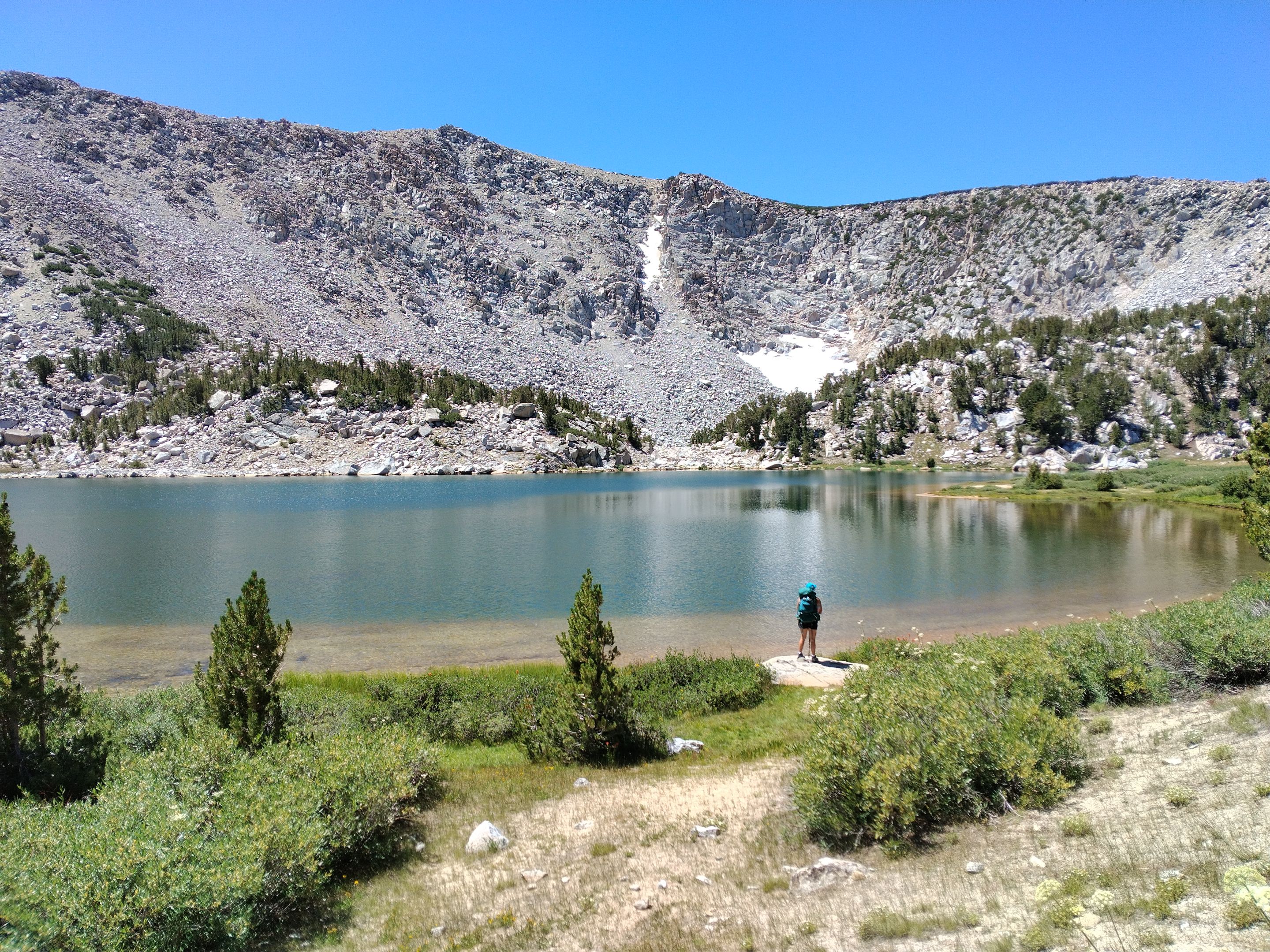 Sophia at the fifth Tyee lake
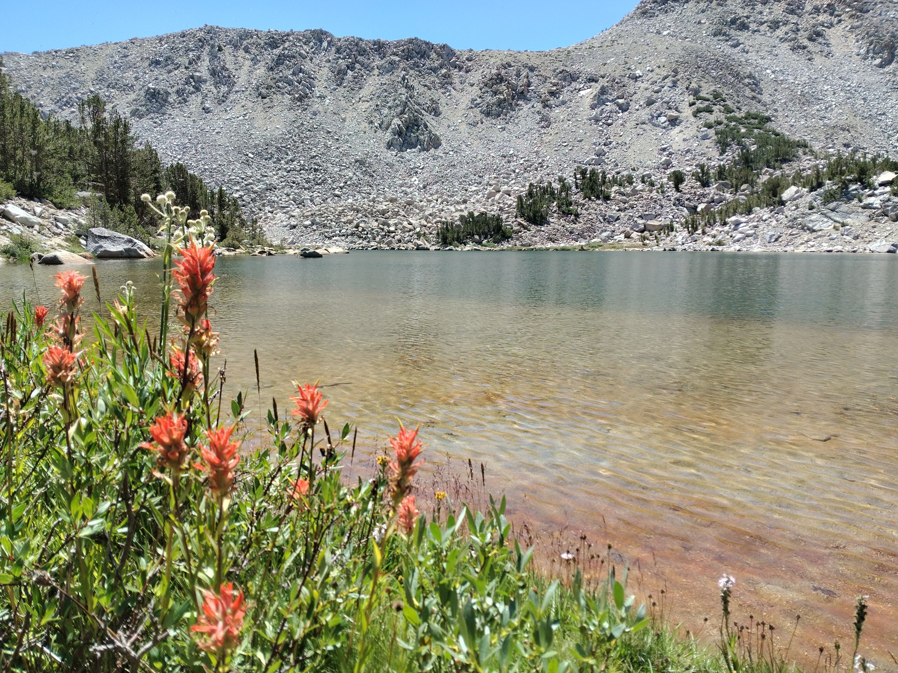 Indian Paintbrush along the shore
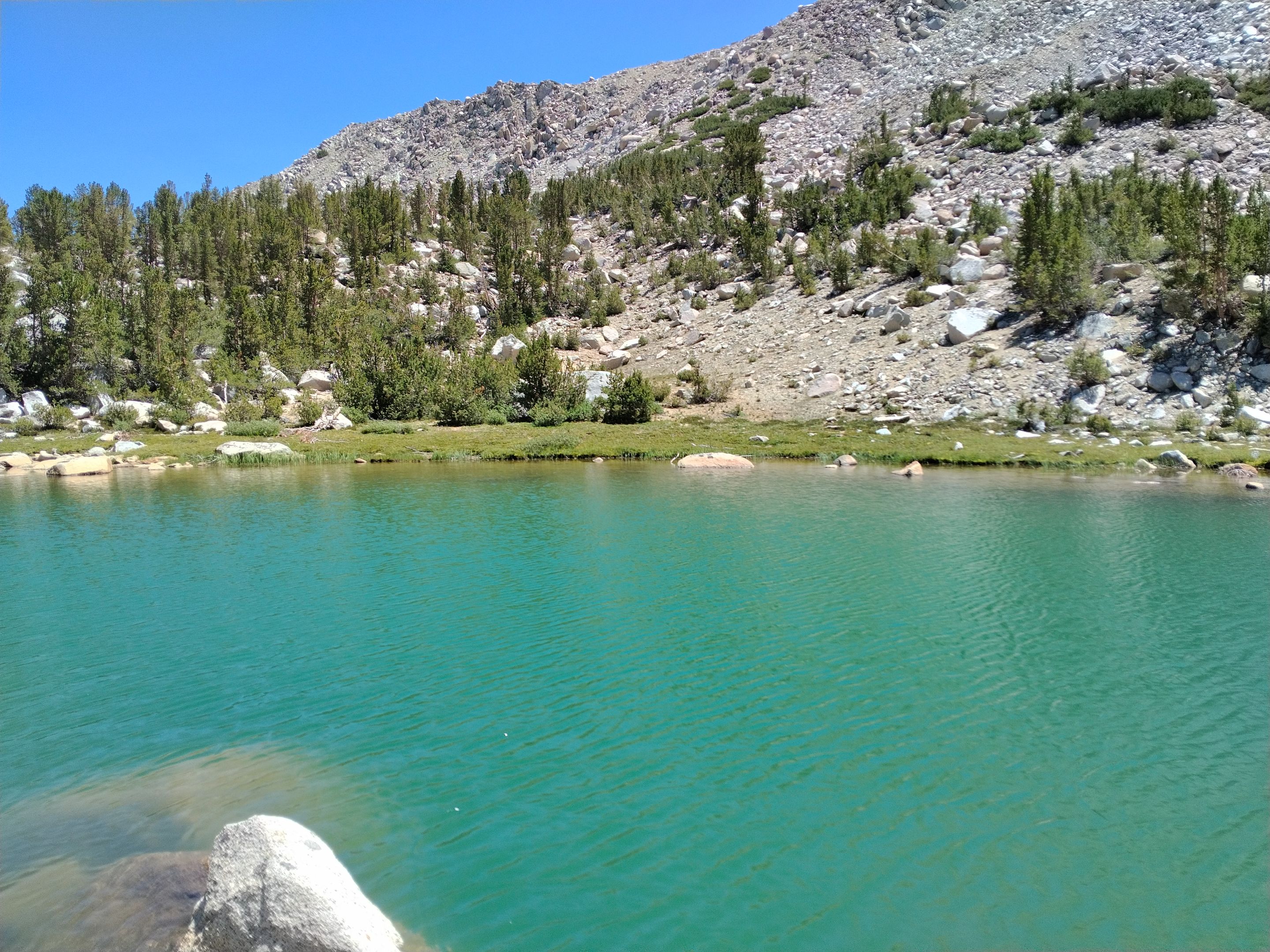
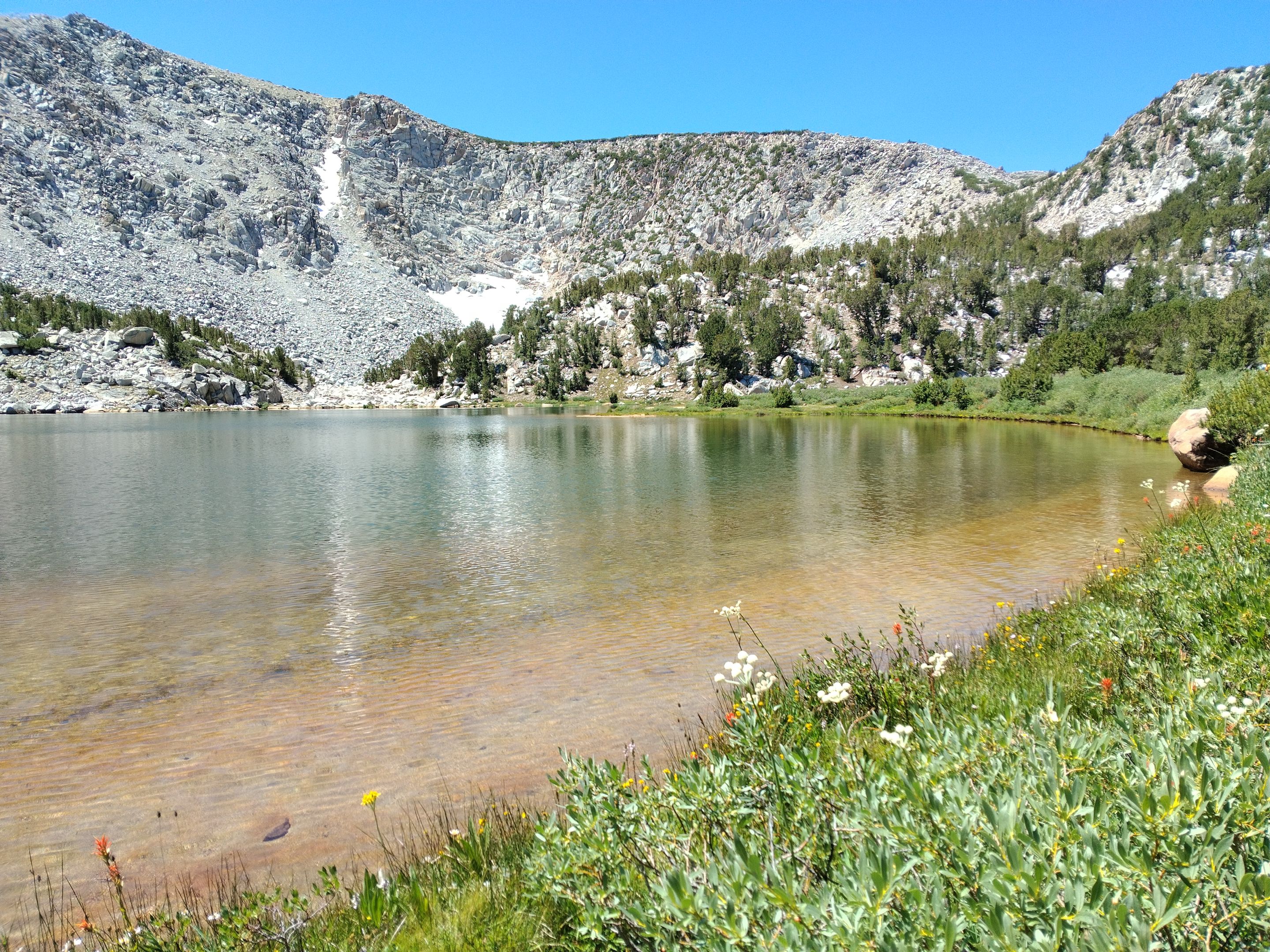 The shoreline of the fifth lake
 Hiking around the fifth lake
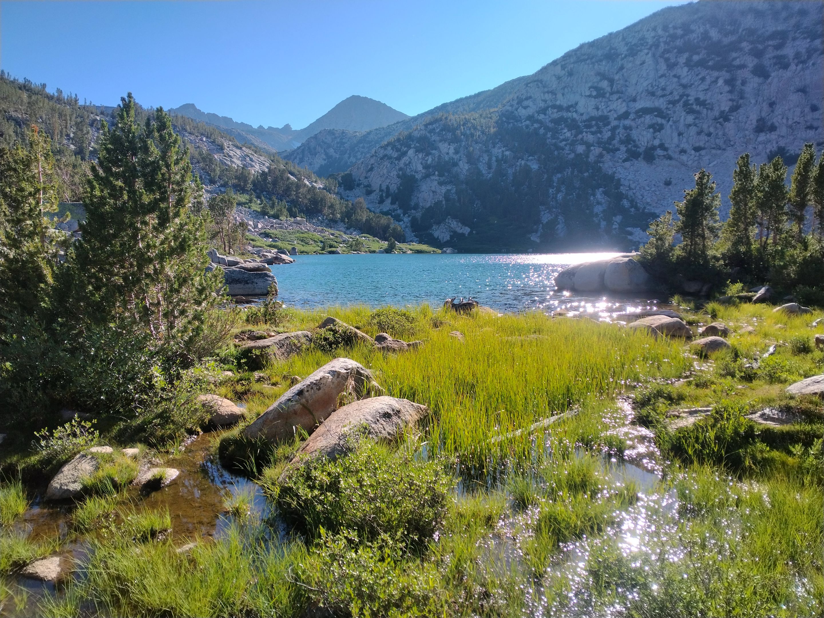
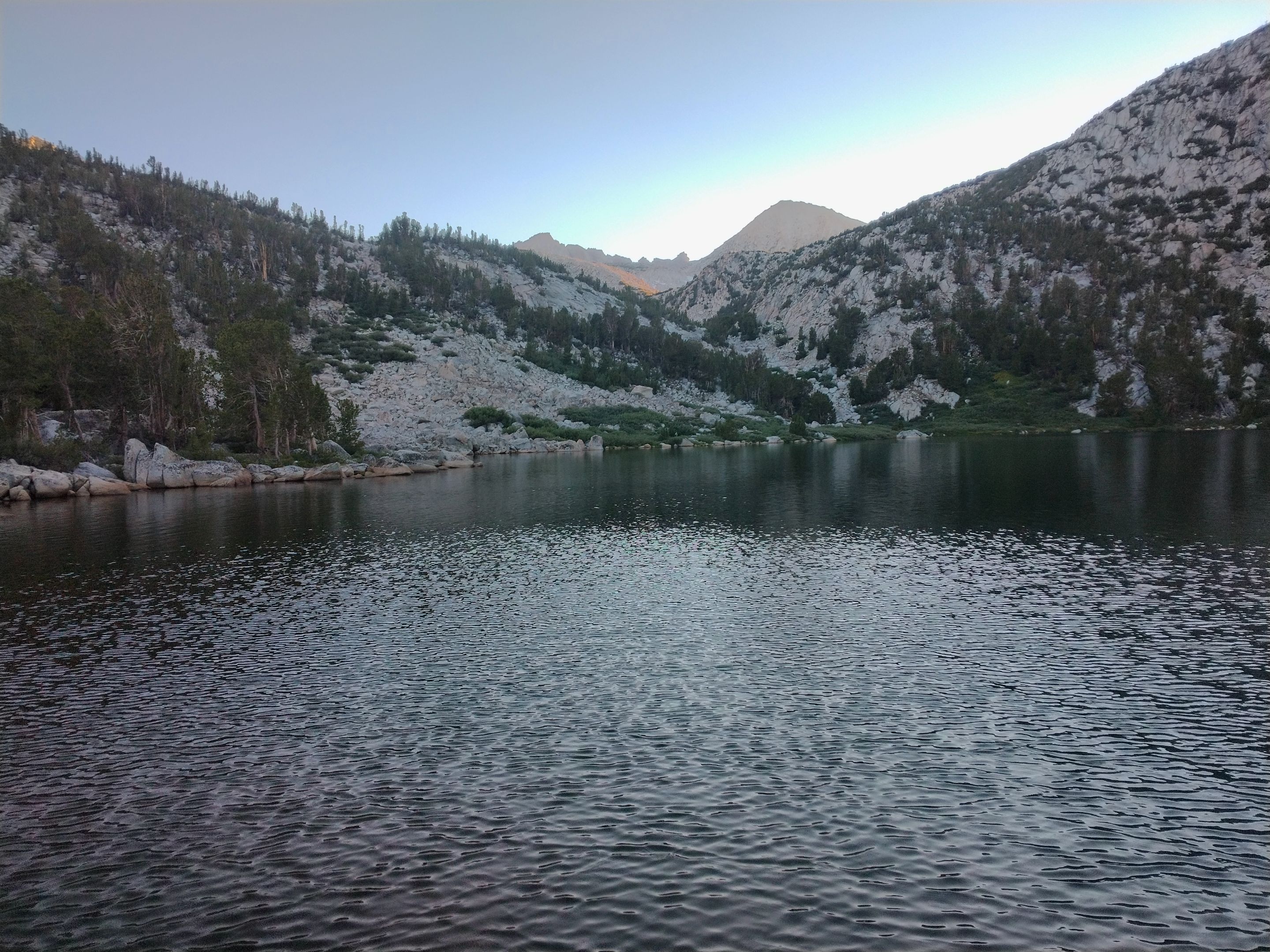
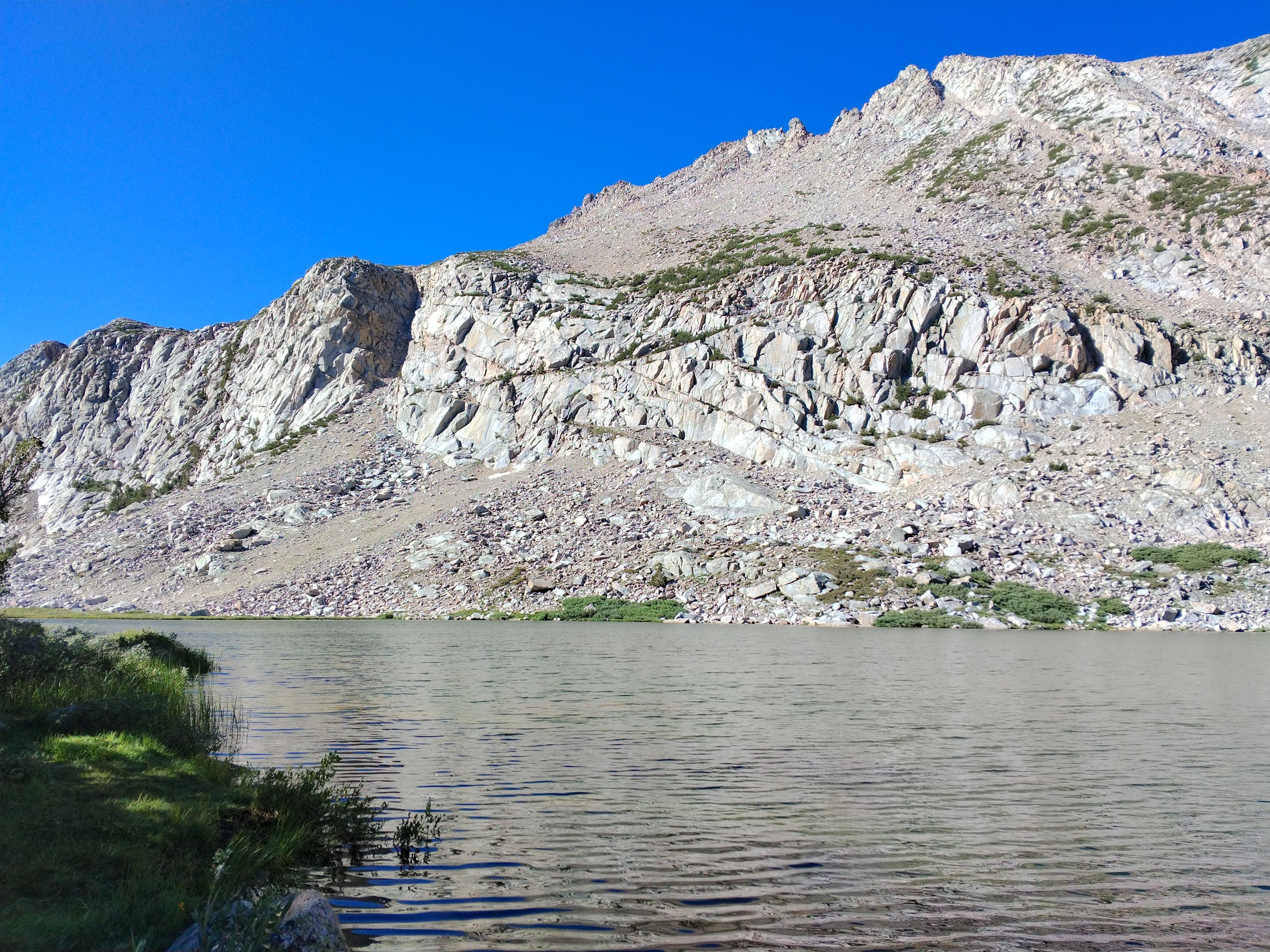
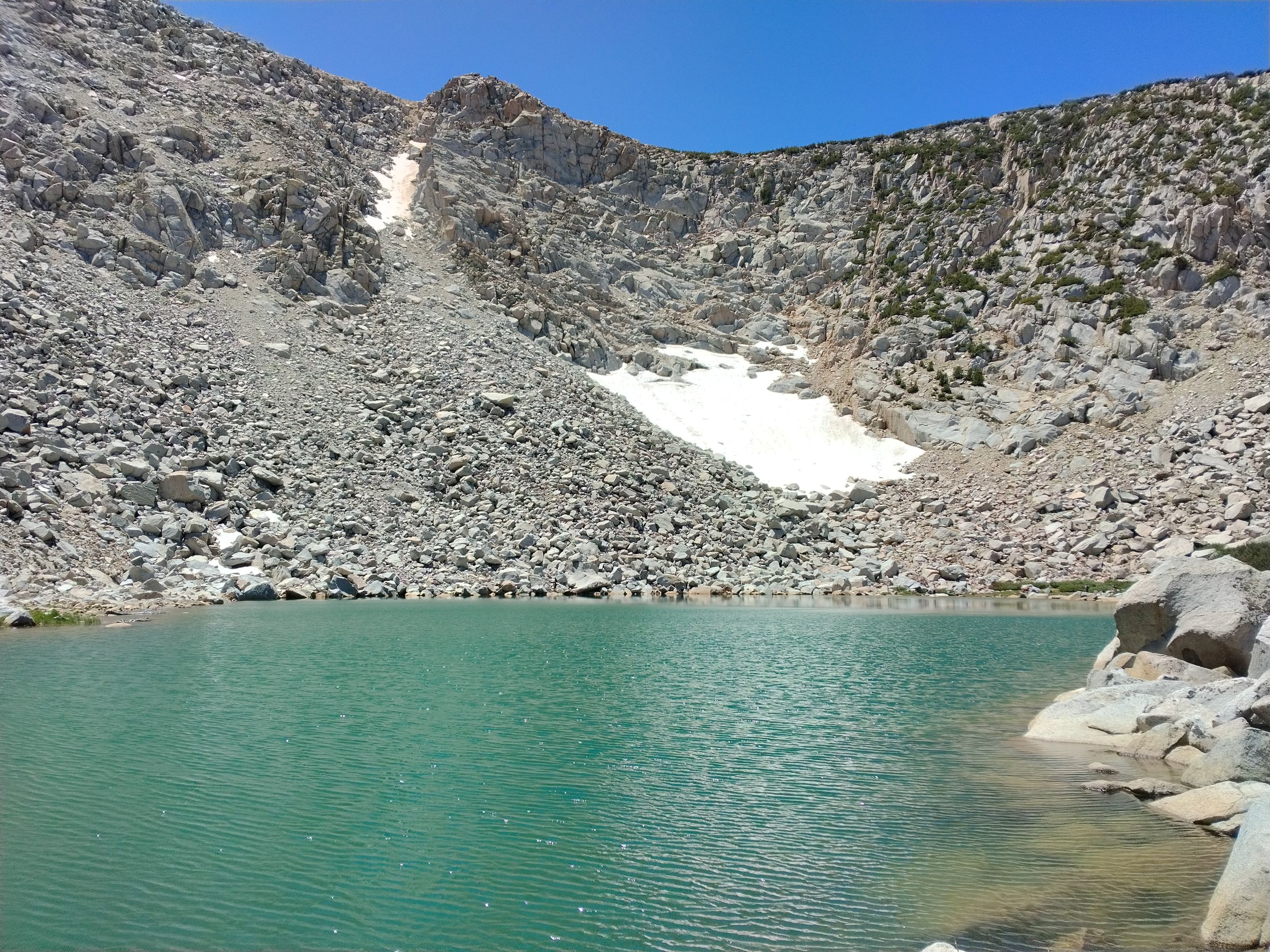 The sixth Tyee lake
 The sixth lake
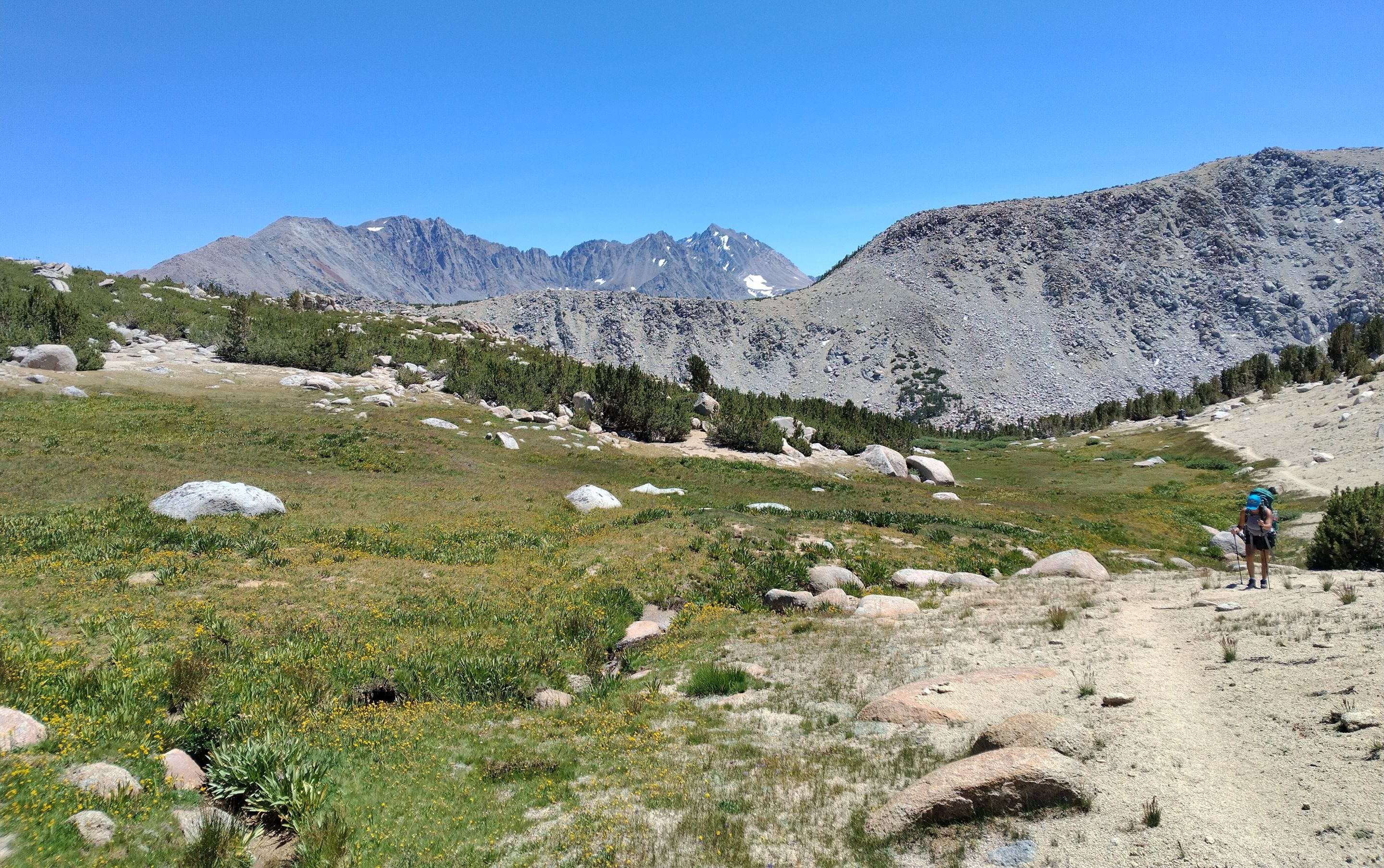
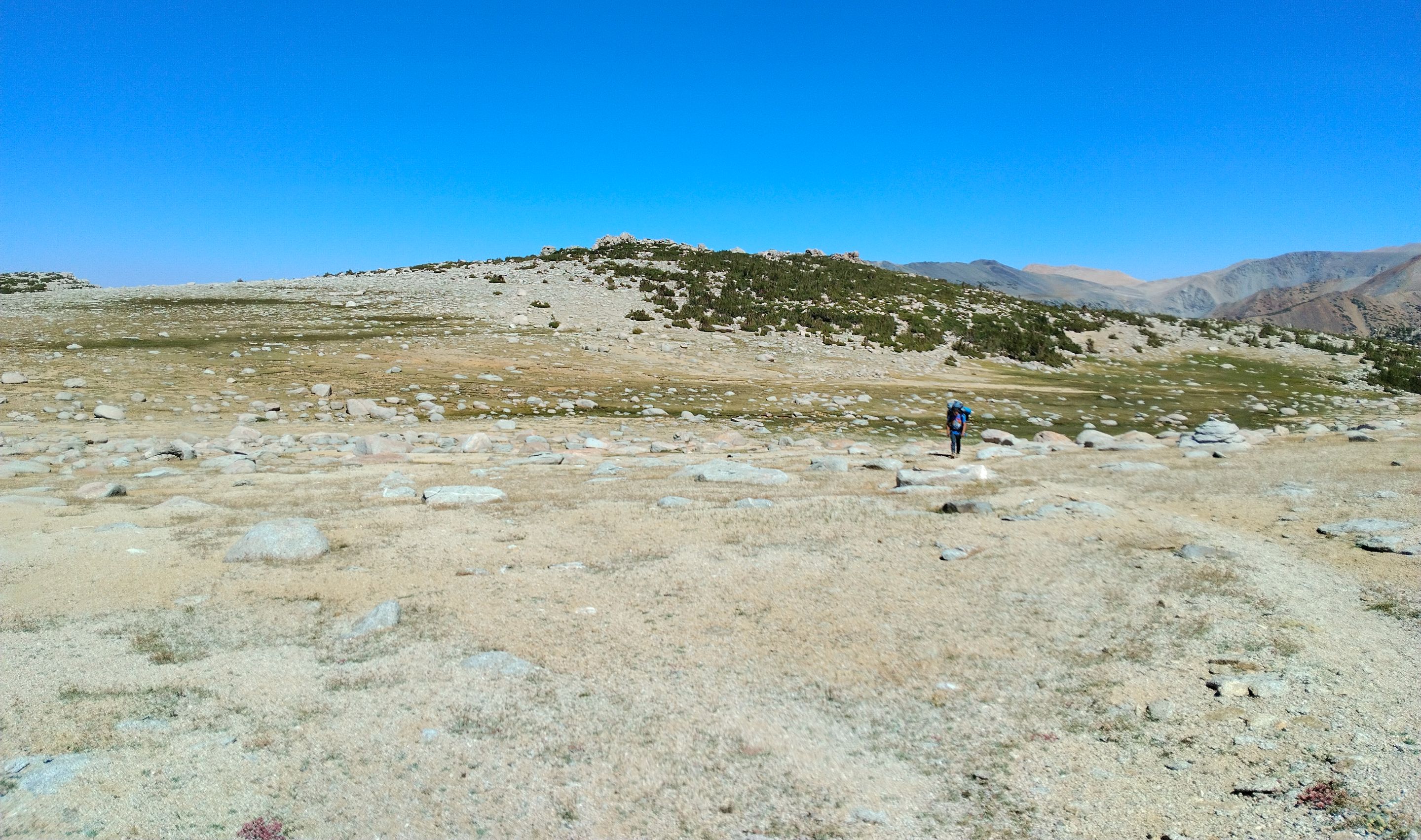
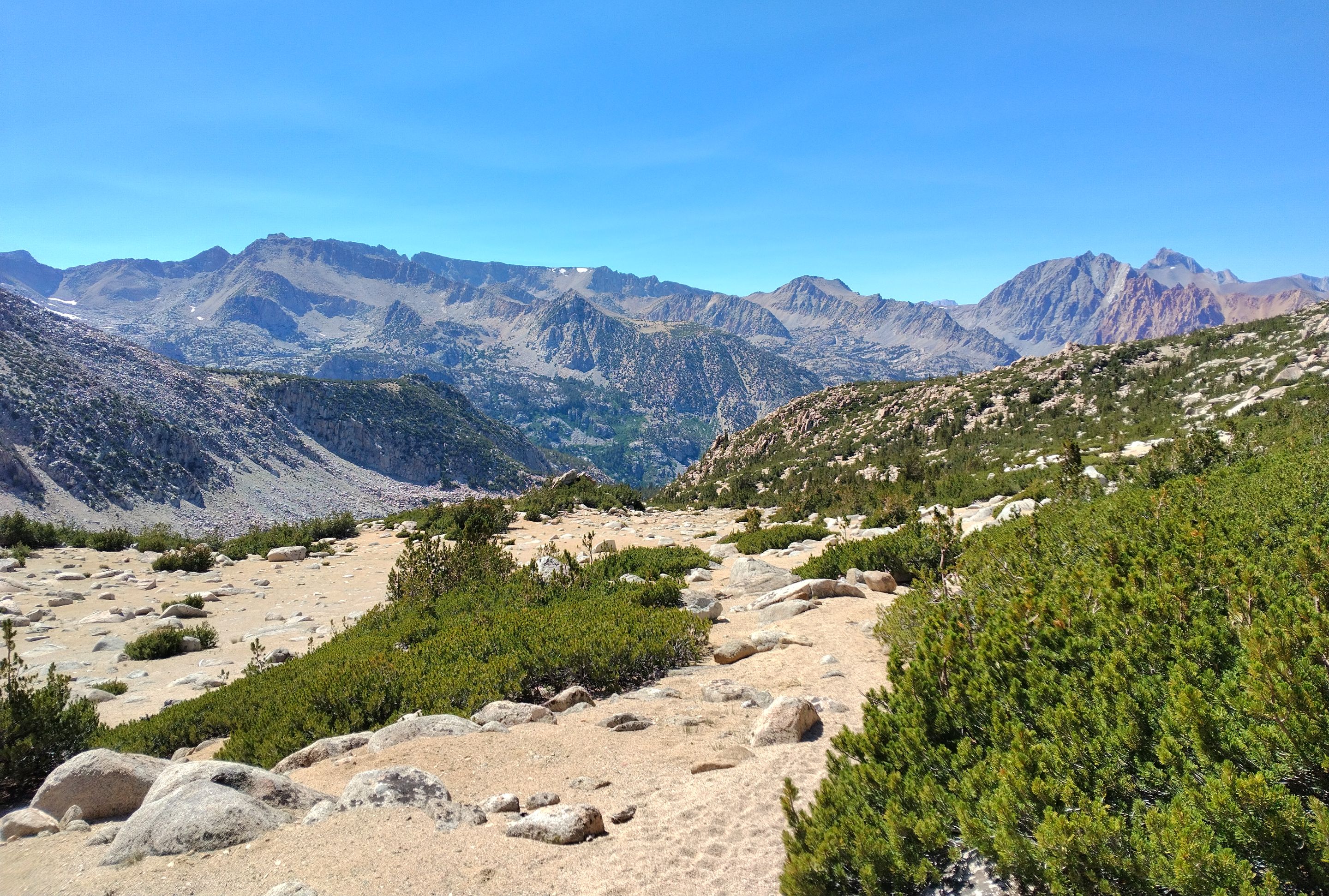
From there we headed back down and around the fifth lake, picked up our packs, and started the big climb up and over Table mountain. The trail was extremely steep, but there were great views overlooking the fifth lake. We climbed and climbed eventually reaching the large plateau at the top (hence the name Table mountain). We found a big flat rock to sit on and take a lunch break. I wanted to make the side trek over to climb up to the actual summit, but nobody else wanted to go so I went solo. It was about a quarter mile easy approach with a 40 foot or so climb up the summit rocks with the last 10 feet being highly exposed but fairly simple class 3. The views from the summit were spectacular, you could see so much from up there, and I spent quite a bit of time just soaking it all in. Before going I signed the peak register and then headed down the rocks and back over to the trail on the plateau. From the plateau it was all downhill to George lake... once again extremely steep. The flatness of the plateau on Table mountain is highly contrasted with the extreme steepness of the trail on both sides of it! But it wasn't far and fairly quickly we arrived at George lake where we setup our second camp. Once again the lake was absolutely beautiful and the fishing was also really good and we caught lots of trout and even cooked a few with dinner!
 Overlooking the fifth lake from the trail
 Climbing up onto the Table mountain plateau
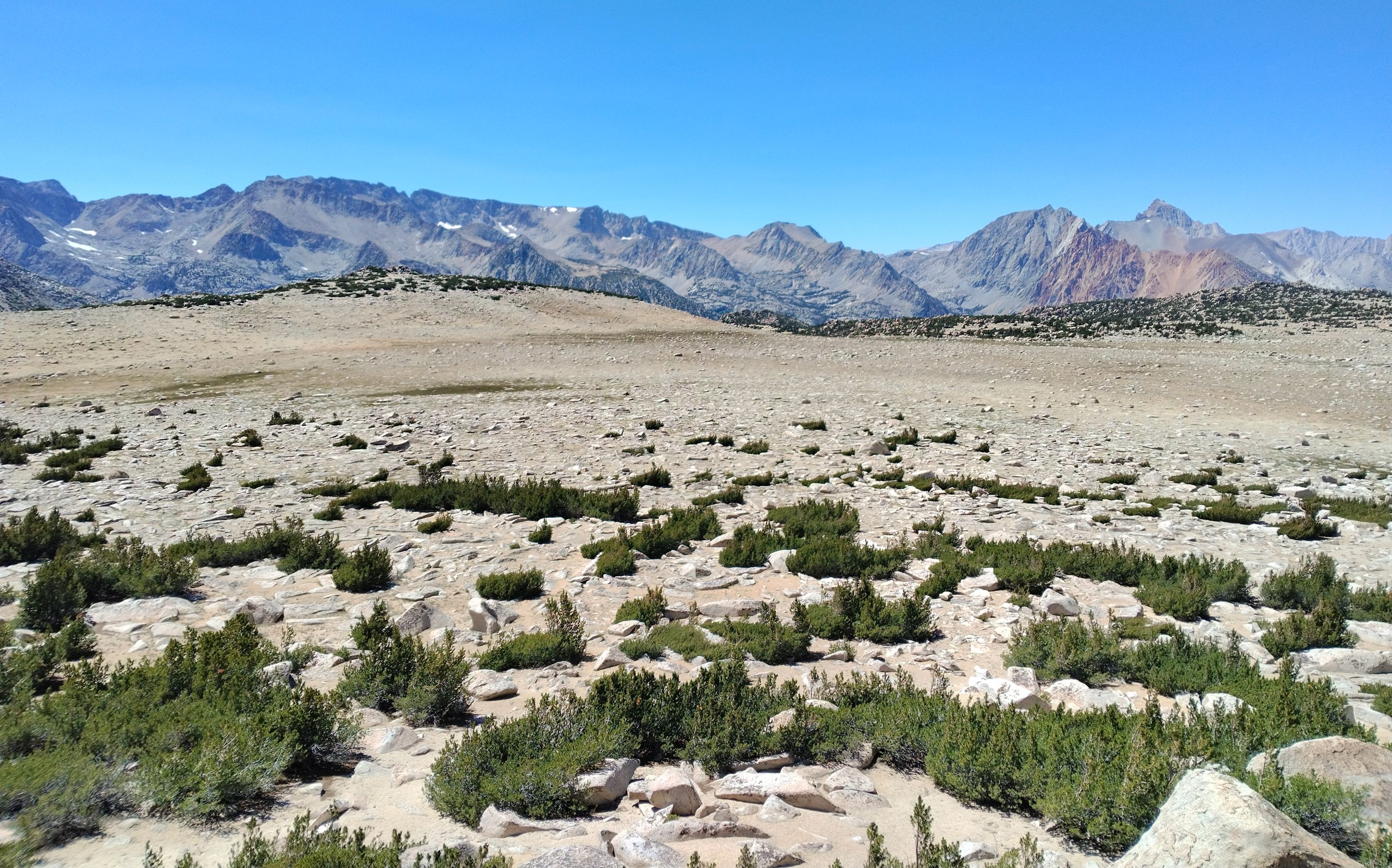 Overlooking the plateau
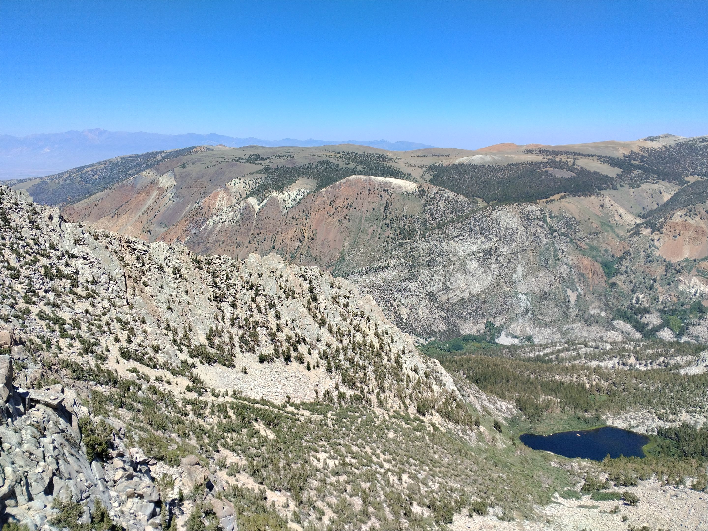 Views from the summit of Table mountain
White Mountain in the distance, Coyote Flats across the the south fork Bishop creek canyon, and the first Tyee lake far below
Views from the summit of Table mountain
White Mountain in the distance, Coyote Flats across the the south fork Bishop creek canyon, and the first Tyee lake far below
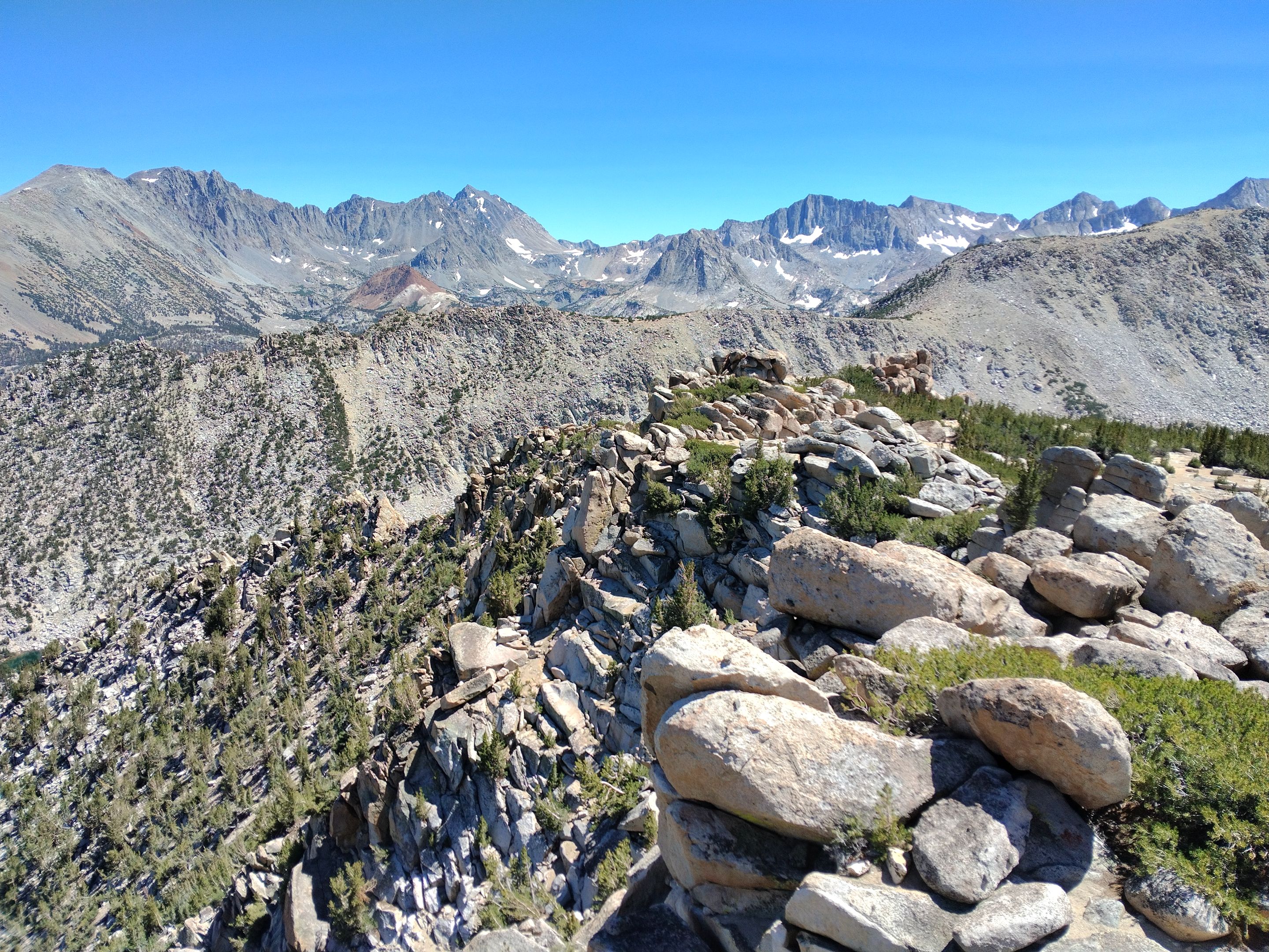 Summit views
Vagabond, Cloudripper, Aperture Peak, Mt. Agassiz, Chocolate peak, Bishop Pass, Hurd peak, and Mt. Goode
Summit views
Vagabond, Cloudripper, Aperture Peak, Mt. Agassiz, Chocolate peak, Bishop Pass, Hurd peak, and Mt. Goode
https://youtu.be/qibSqWa5jjk
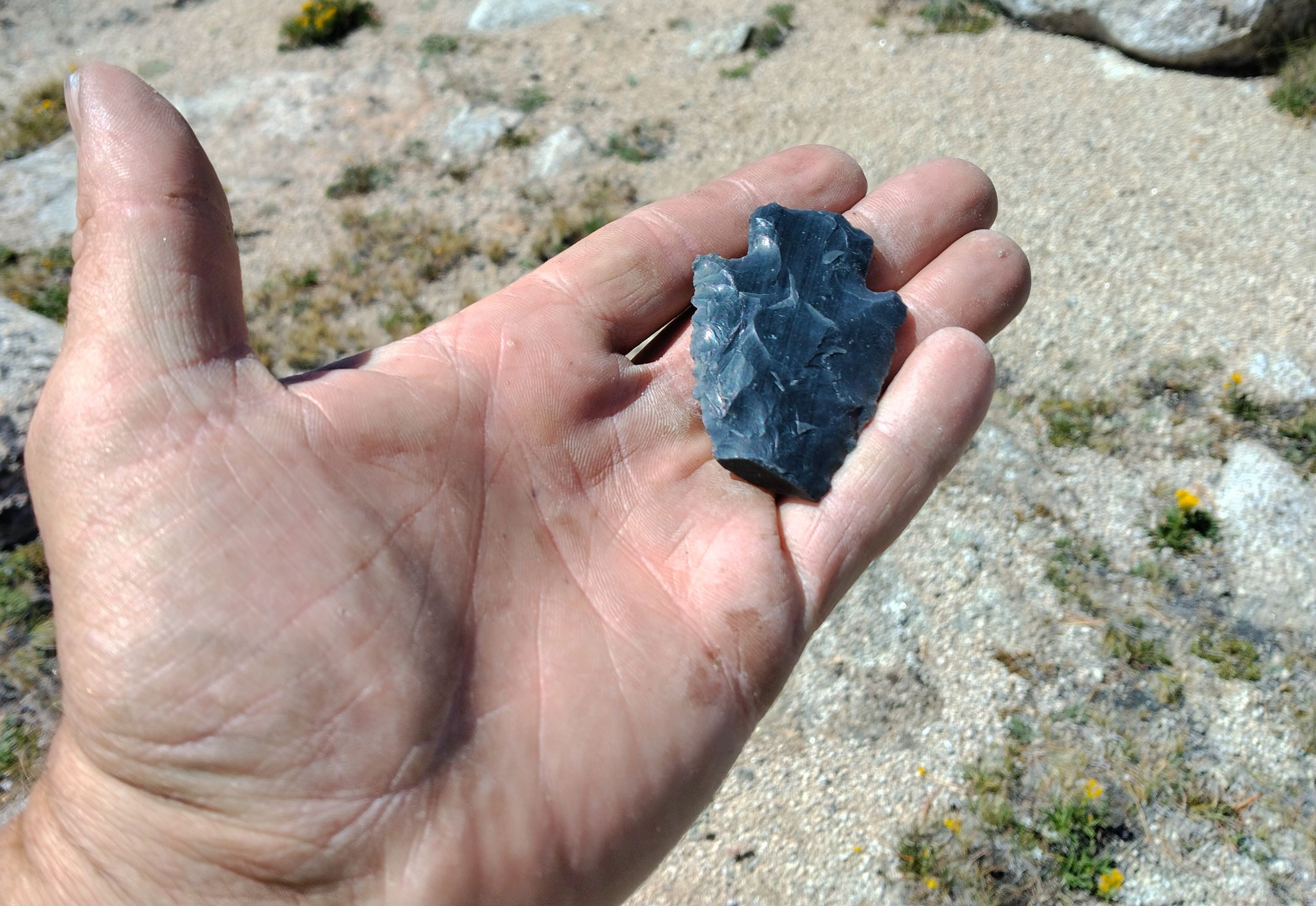 A native American arrowhead that I found in the sand not far from the peak
 Back on the trail crossing the plateau
 Starting our descent towards George lake
 Overlooking George lake
 Relaxing on the shores of George lake
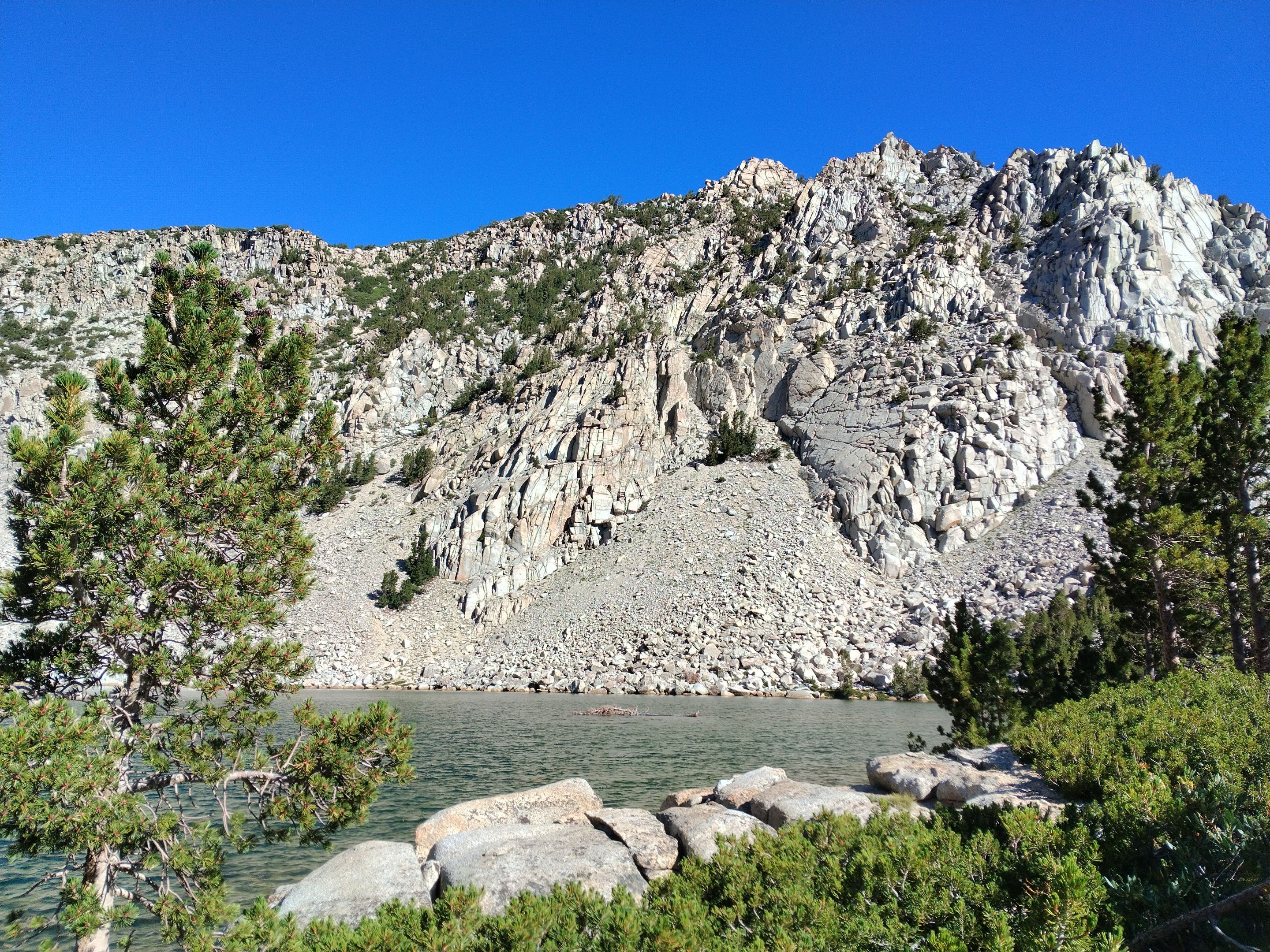
 George lake
 George lake
Trout fishing
 George lake
The next morning we woke up to another beautiful day. We made breakfast and then got camp all packed up and ready to go. The hike out was all downhill. First crossing George creek a couple times and then switchbacking steeply down towards Lake Sabrina. There were great views overlooking the lake and a couple waterfalls on the south side of it added to the scenery. For some reason the last mile seemed to take forever, but eventually we reached the trailhead bringing an end to another epic backpacking trip!
 Morning at George lake
 A small lake just below George lake
 Hiking out
 Small footbridge crossing George creek
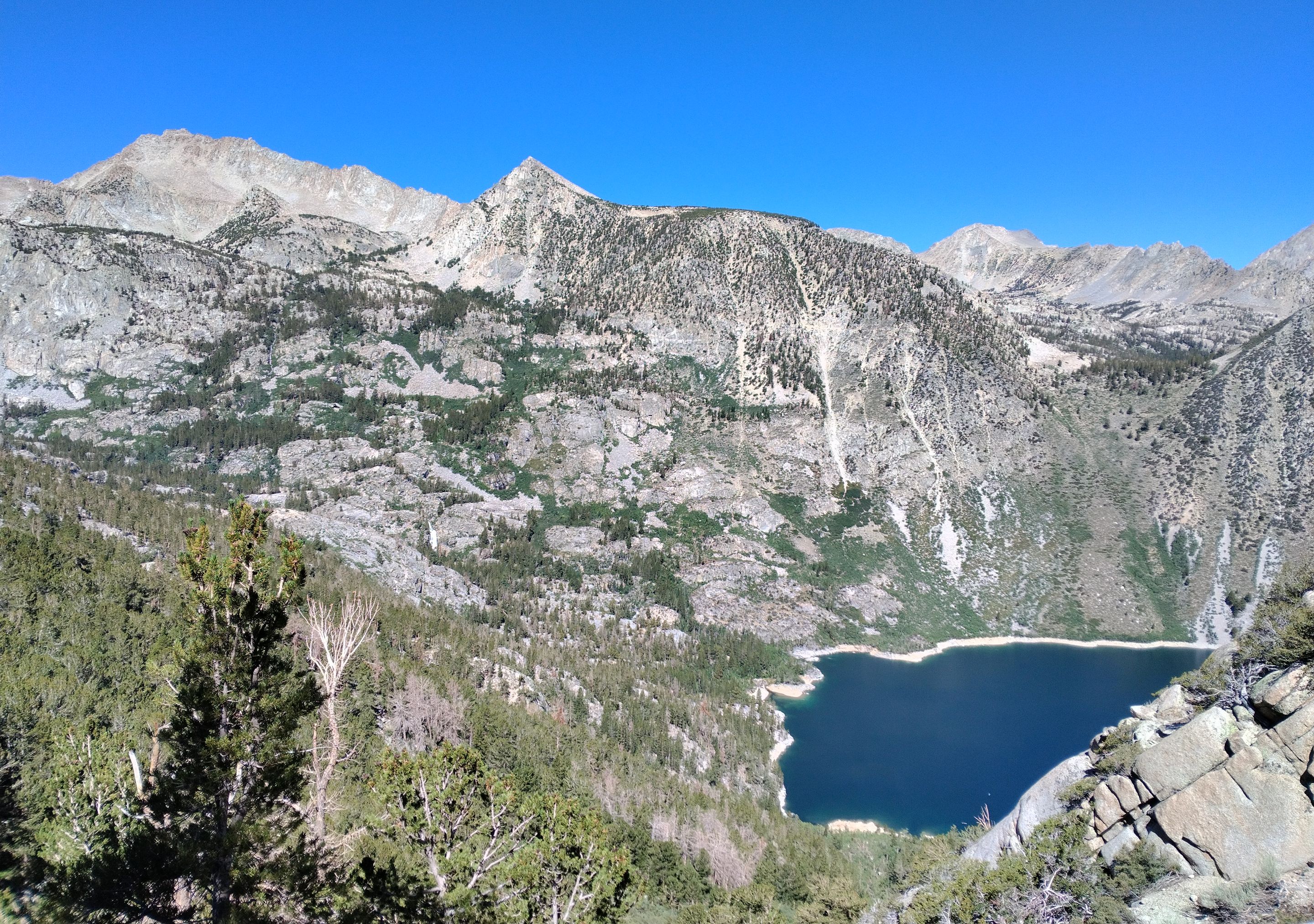 First view of Lake Sabrina
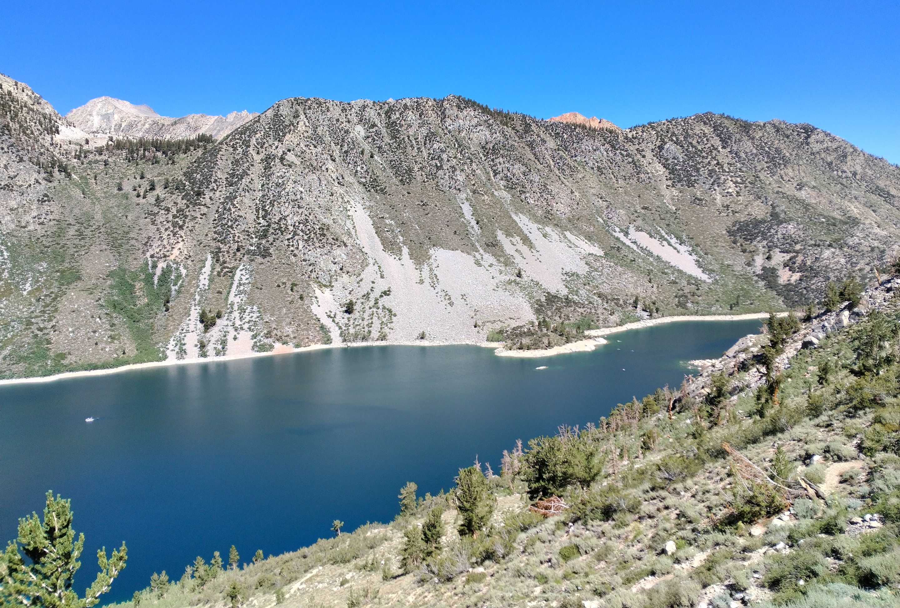 Dropping down to Lake Sabrina
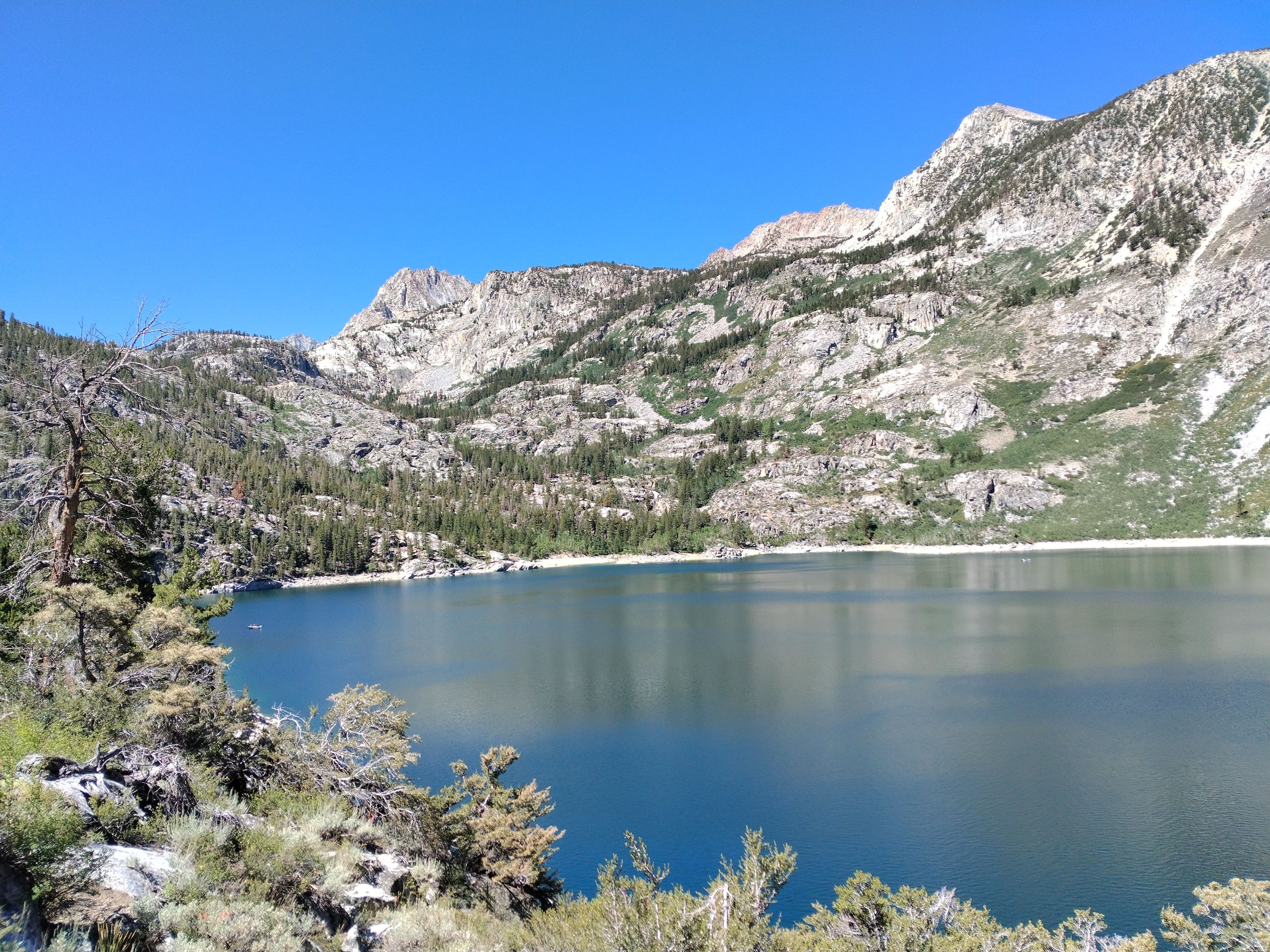 Lake Sabrina
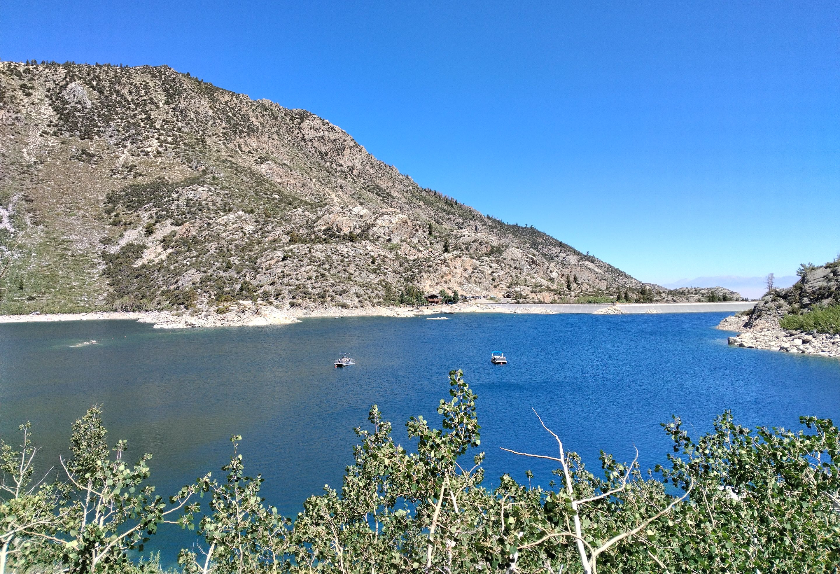 Lake Sabrina
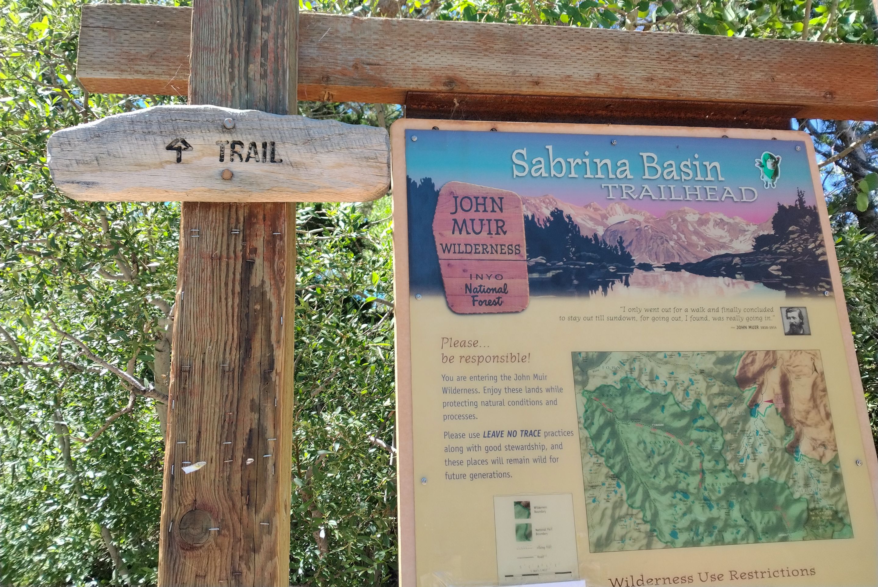 Trailhead sign at the end of the hike
And once again Ryan has created anther excellent video from our trip which really highlights what a fun time we had out there, so be sure to check it out!
https://www.youtube.com/watch?v=rVKz9AnmKEk
And so until next time...
I hope you have enjoyed this glimpse into
My California!!
all photos by @derekrichardson
mountaindivider.jpg (https://cdn.steemitimages.com/DQmZoJg6gXEqsJJ4nkjzF1krT6vzSgJSisRm1JuvbtwG5qd/mountaindivider.jpg)
xtevSSC9-socalhive.gif (https://files.peakd.com/file/peakd-hive/zord189/xtevSSC9-socalhive.gif)
#SoCalHive is building and supporting the Hive Blockchain community in Southern California. If you are from SoCal and are into creating quality content here on Hive, we'd love for you to follow us @theSoCalHive and join our group on Discord
socalhive divider.png (https://images.hive.blog/DQmXrocoFcozQcGBtDzy5HDP8qN1xbDaFLyF3Wugedqre1h/socalhive%20divider.png)

Dividerbar.jpg (https://steemitimages.com/DQmY6JDuz3vPHFEFeRksTCVe25xXc7JfzkeMxYvwftxS7xA/Dividerbar.jpg)
SGS_banne2022.png (https://files.peakd.com/file/peakd-hive/derekrichardson/23tkpRw1MewWM61ZZr3EduUsBZt4UQLXaHbQtW94jGn7wopSx2u1khm9KKdsRGHH7FcKi.png)
Dividerbar.jpg (https://steemitimages.com/DQmY6JDuz3vPHFEFeRksTCVe25xXc7JfzkeMxYvwftxS7xA/Dividerbar.jpg)
image.png (https://files.peakd.com/file/peakd-hive/derekrichardson/23xLJ4nHHxRrUH6Z2tyPBNq8x18jsJS2bdUQP58qvfi9pqrVUk3Mbw2sT43jFzsi82wG3.png)