Subida a Piedra el Indio y pozo Paraíso [ESP]
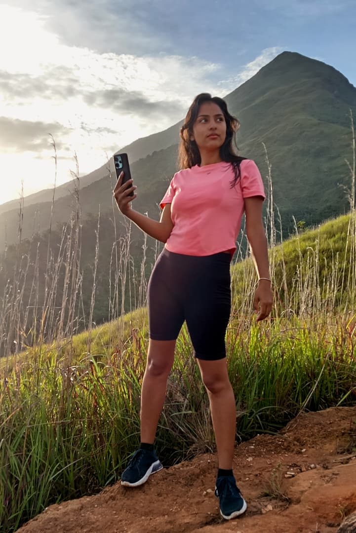
Hola amigos de Hive, el día de hoy les quiero contar sobre la aventura que tuve el martes pasado, donde me pare bien temprano con los ánimos y la energía al 100 por ciento, para afrontar el reto de volver a subir al majestuoso parque nacional Waraira Repano comúnmente conocido como el Ávila.
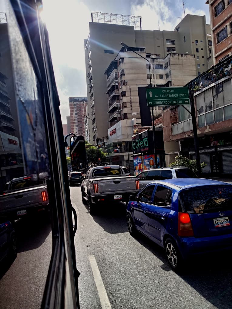
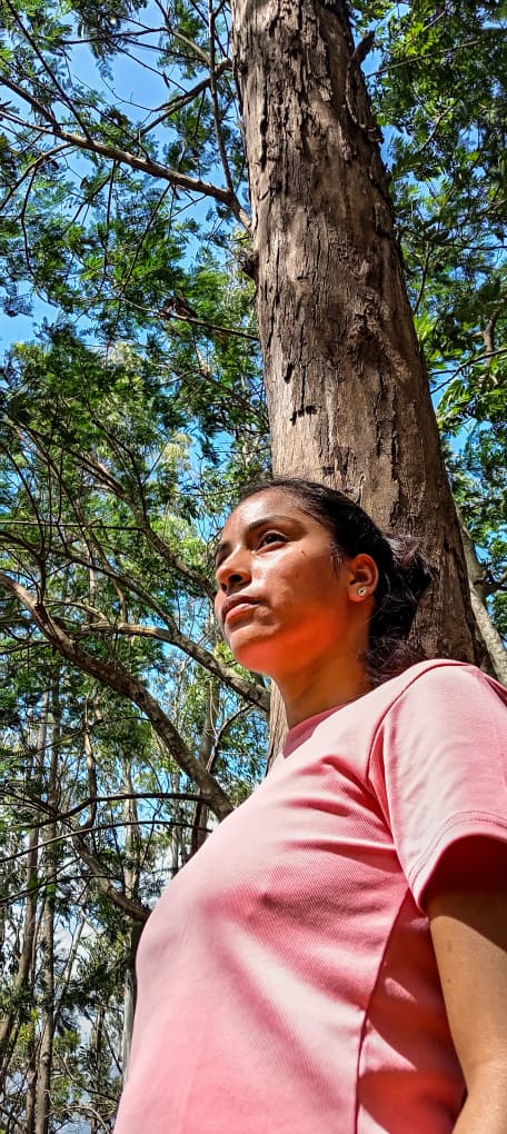
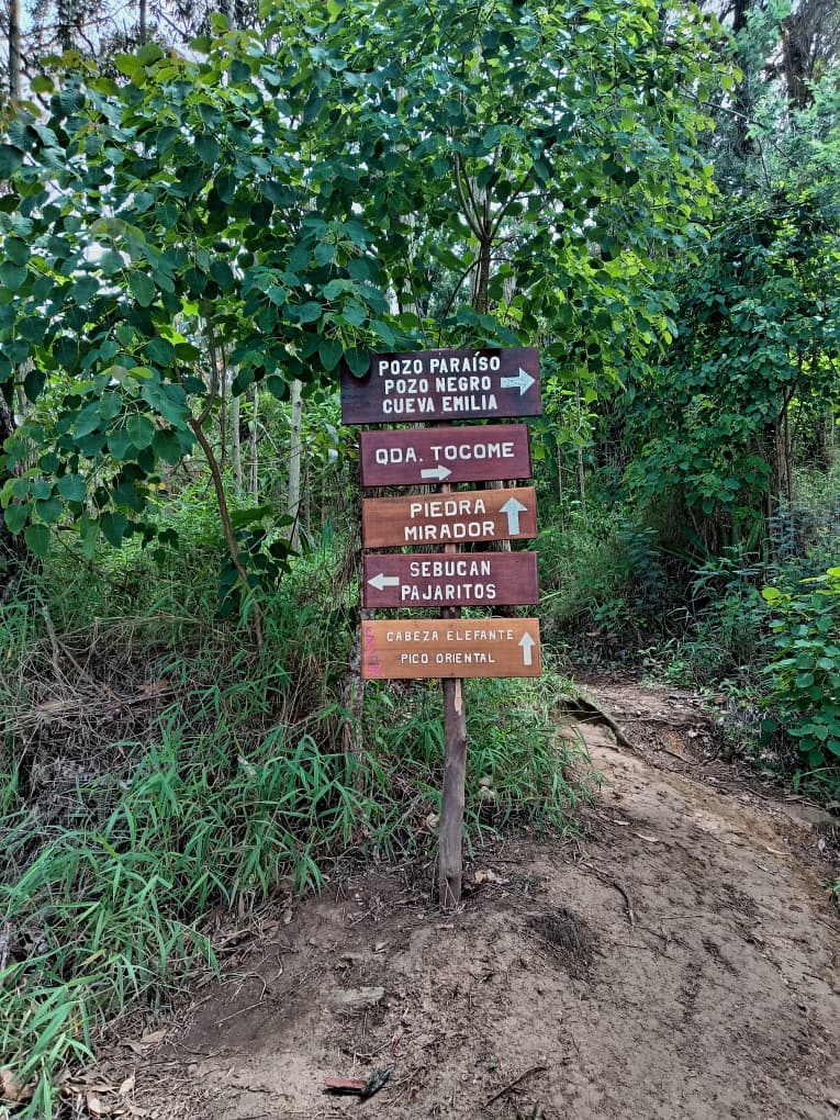
Pues bien el día comenzó bien temprano pues vivo en los valles del Tuy, una ciudad dormitorio en las cercanías de la capital y debo tomar 3 camionetas y un ferrocarril para llegar hasta los dos caminos, punto de encuentro con mi amiga Iva, quien me acompañaría a realizar la ruta, la cual yo tenía planificado realizar de la siguiente manera: ingresar al Ávila por el puesto de gurdaparques de Cachimbo, subir hasta piedra el Indio, luego quebrada Tocome, pozo Paraíso, pozo Negro y finalmente bajar por el estribo duarte para salir por el puesto de guardaparques de Estribo Duarte.
Este es un recorrido que ya había realizado en años anteriores y que personalmente la tenía catalogado como de nivel medio, pero el destino ese día me enseñó a no subestimar una ruta ya que las rutas de montaña siempre pueden variar, y como anécdota ese día no logramos agarrar el Microbús a tiempo y se me ocurrió preguntar en la parada de las camionetas cuál de ellas nos podía dejar cerca del acceso al Ávila.
Y fue así como nos montamos en una camioneta por puesto, pero sorpresa cuando reviso mi ubicación en Googlemaps, comprobé el error que cometí, pues si bien es cierto esa camioneta pasaba cerca de un acceso al Avila no era el acceso que yo tenía planificado para iniciar la ruta, por lo cual tuvimos que esperar a que la camioneta regresará a los dos caminos, porque para los que no conocen esta ruta, no les aconsejo subir a media mañana por el estribo duarte, ya que la ausencia de árboles les puede provocar una insolación y excesiva deshidratación.
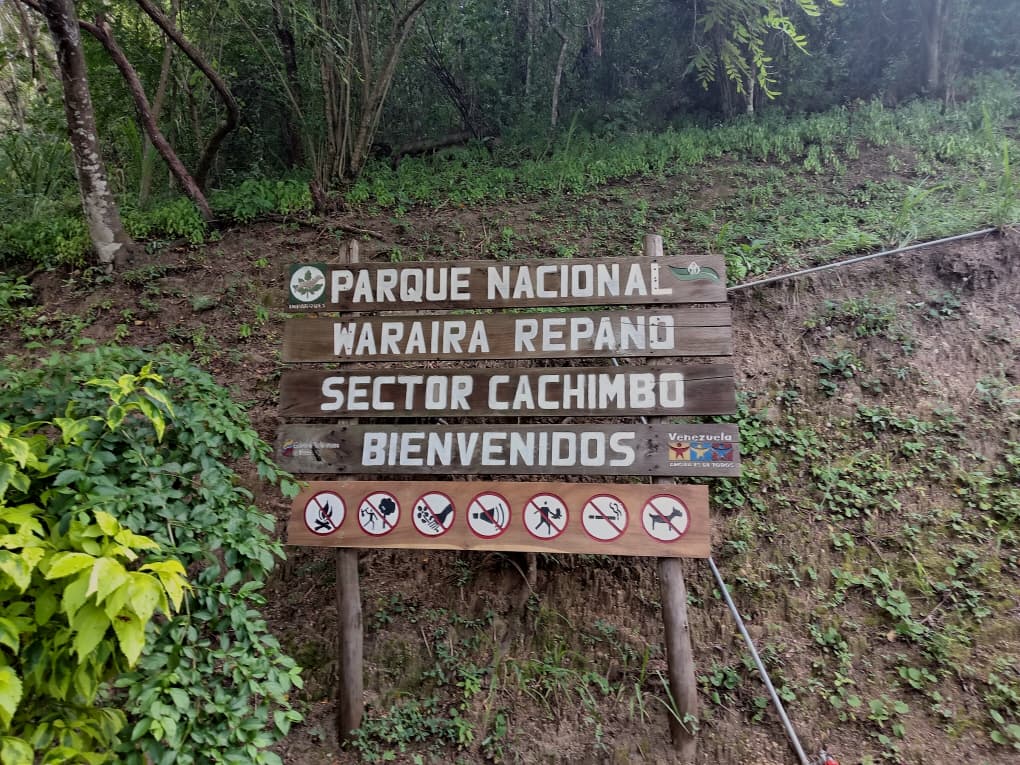
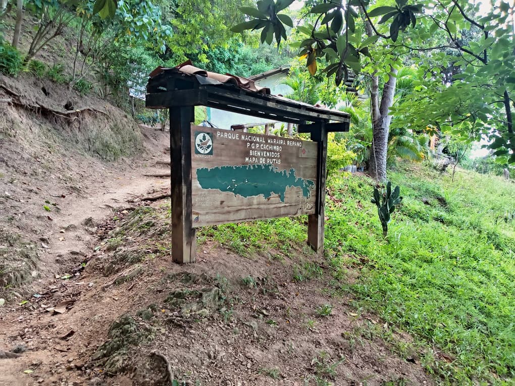
En lo personal a mí me gusta transitar por estribo duarte cuando ya comienza a caer la tarde, bueno ya de regreso en los dos caminos tomamos el Metrobus ruta 111, que te lleva al final de la avenida principal de los Dos Caminos, subes a la cota mil, llegas hasta un módulo policial y allí está la entrada al puesto de guardaparques Cachimbo, donde nos anotamos en el libro de registro de visitantes para dejar constancia de nuestro ingreso al parque.
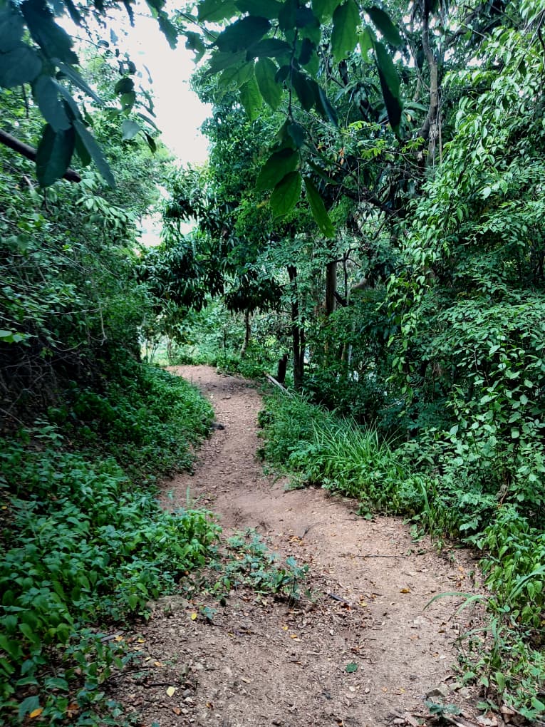
Comenzado nuestro ascenso, para lo cual procedí a encender mi radio para realizar algunas pruebas de comunicación con mi amigo José Contreras quien me prestaría el apoyo en el monitoreo de la ruta como medida preventiva, por lo cual les recomiendo si cuentan con estos equipos llevarlos consigo en estos momentos existen varios grupos de búsqueda y rescate que se encuentran a la escucha del canal radio de Montaña 9-11 (UHF, 467.5875 MHz) que es un programa comunitario en Venezuela para la coordinación y el entrenamiento en el uso de radios de uso libre para actividades en la montaña, con el fin de mejorar la seguridad.
Así pues la magia de la montaña nos fue envolviendo y nos fuimos desconectando del caos de la ciudad, de la rutina, de los problemas, etc. Porque si algo tiene la montaña, es su poder terapéutico y energético, las montañas nos enseñan a controlar nuestros egos y a valorar nuestra conexión a tierra.
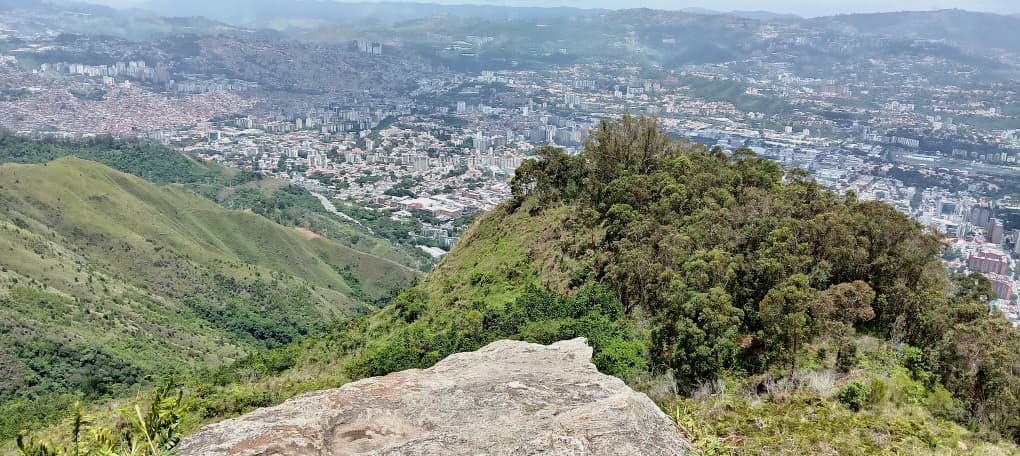
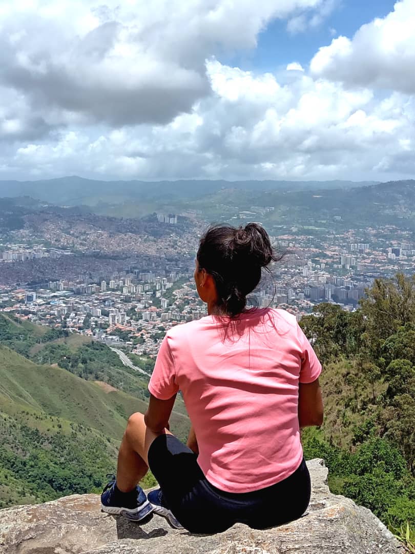
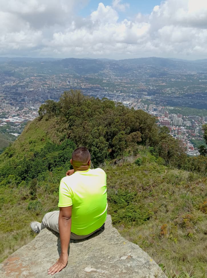
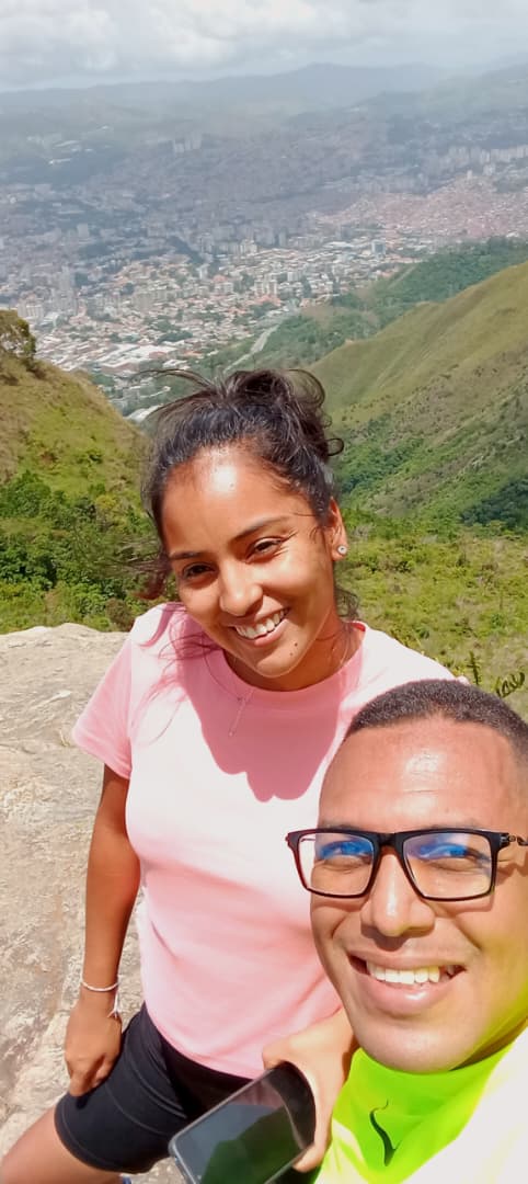
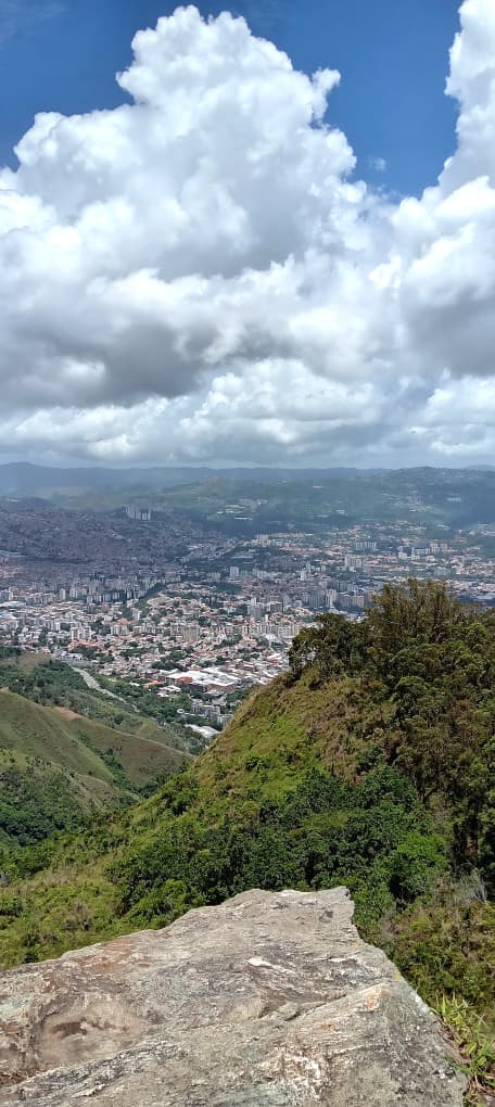
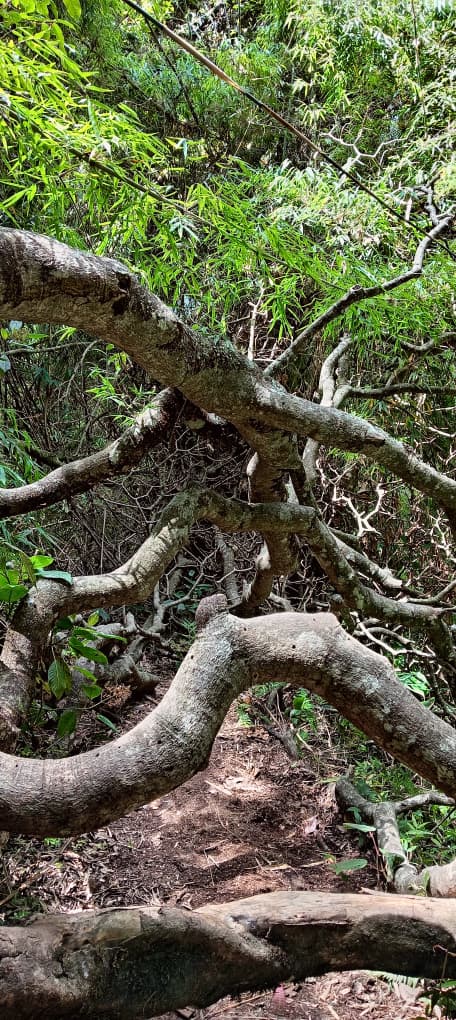
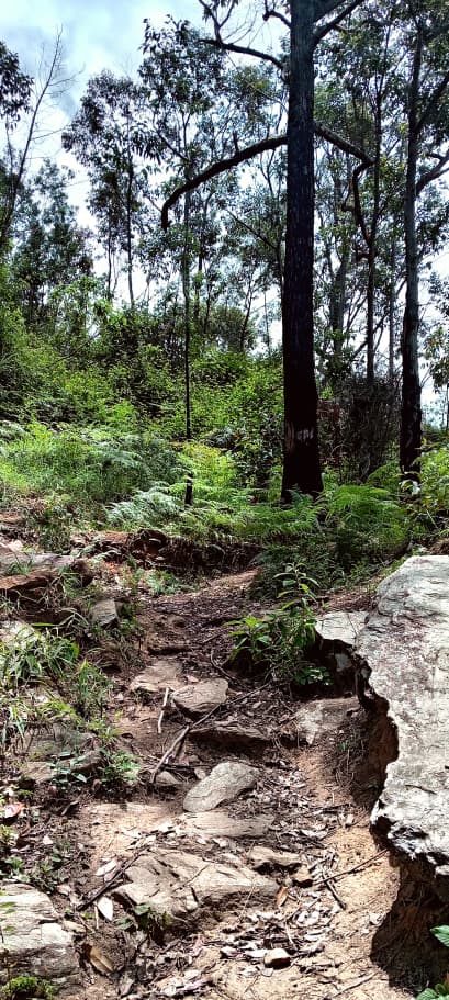
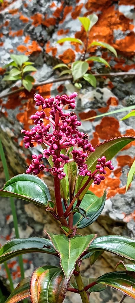
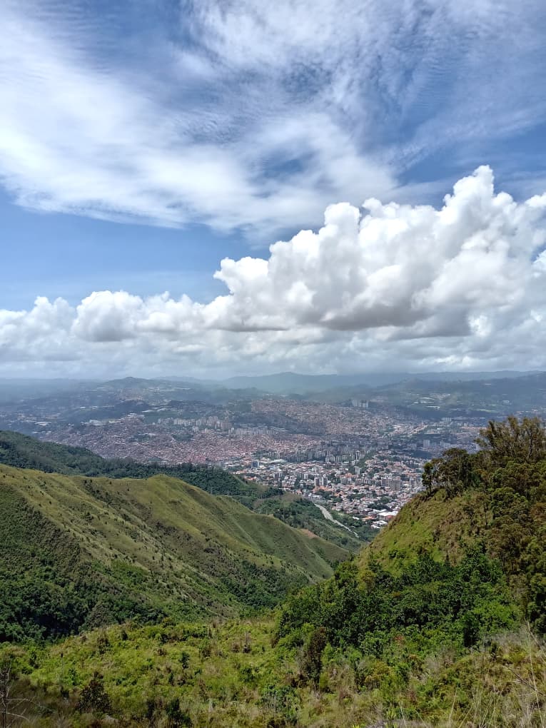
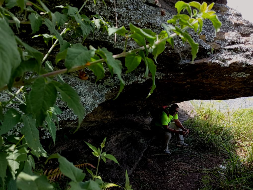
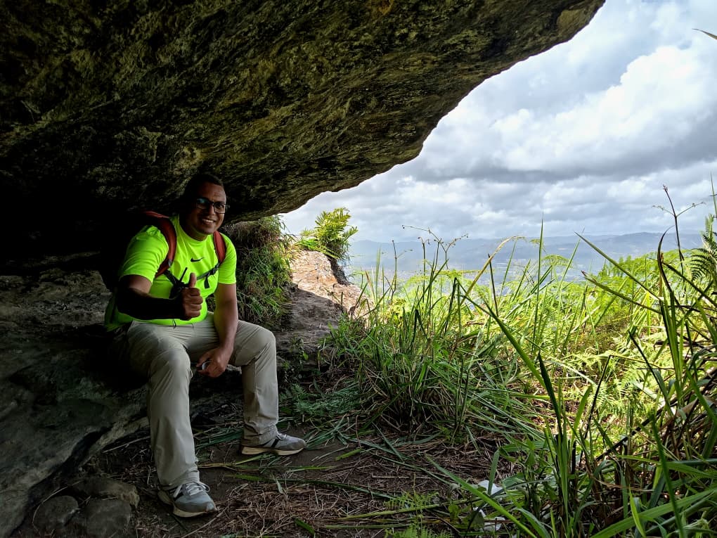
En nuestro recorrido pudimos observar que se habían realizado algunas labores de poda y desmalezado cerca de las torres de transmisión eléctrica, pero sin retirar los troncos y ramas talados obstaculizando el paso de la ruta, también la maleza en ciertas zonas de la ruta prácticamente nos arropo claro es entendible porque estos accesos estuvieron cerrados al público durante casi medio año. Lo cierto fue que llegamos a la piedra el indio y pudimos disfrutar de una excelente vista de la ciudad con un cielo despejado y de un azul turquesa que muchos en el extranjero sé que envidiaran.
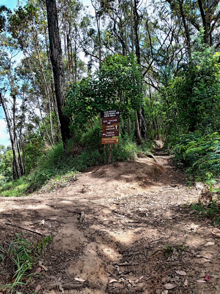
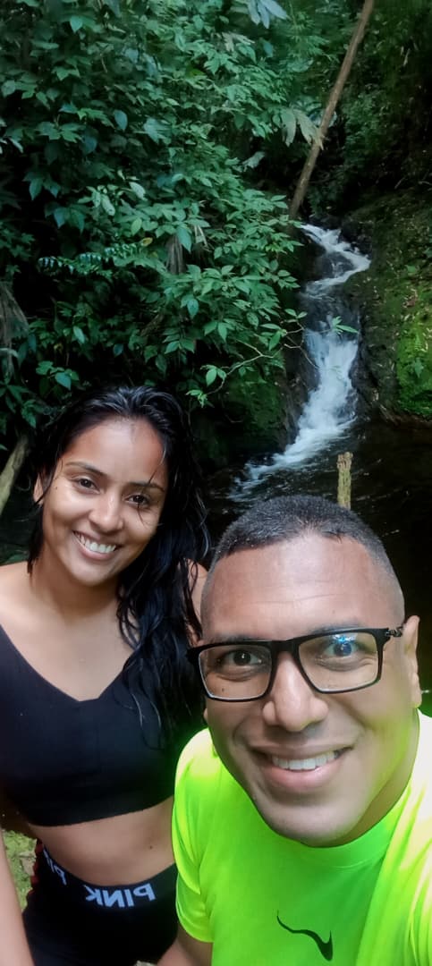
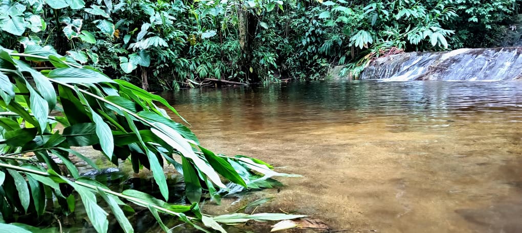
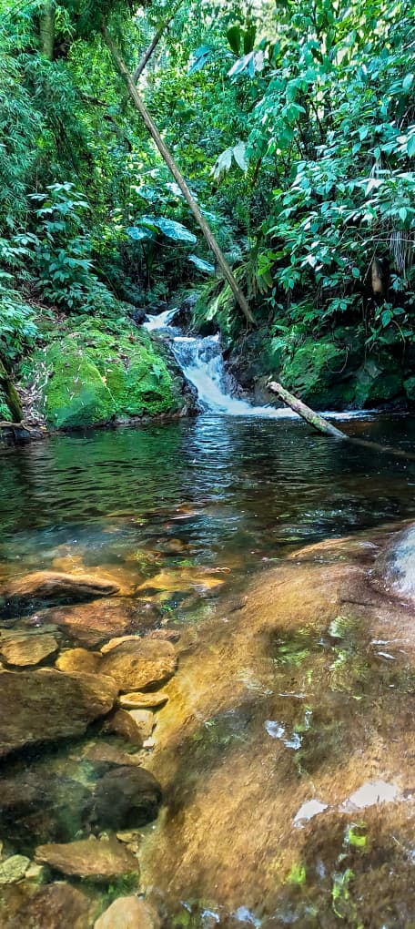
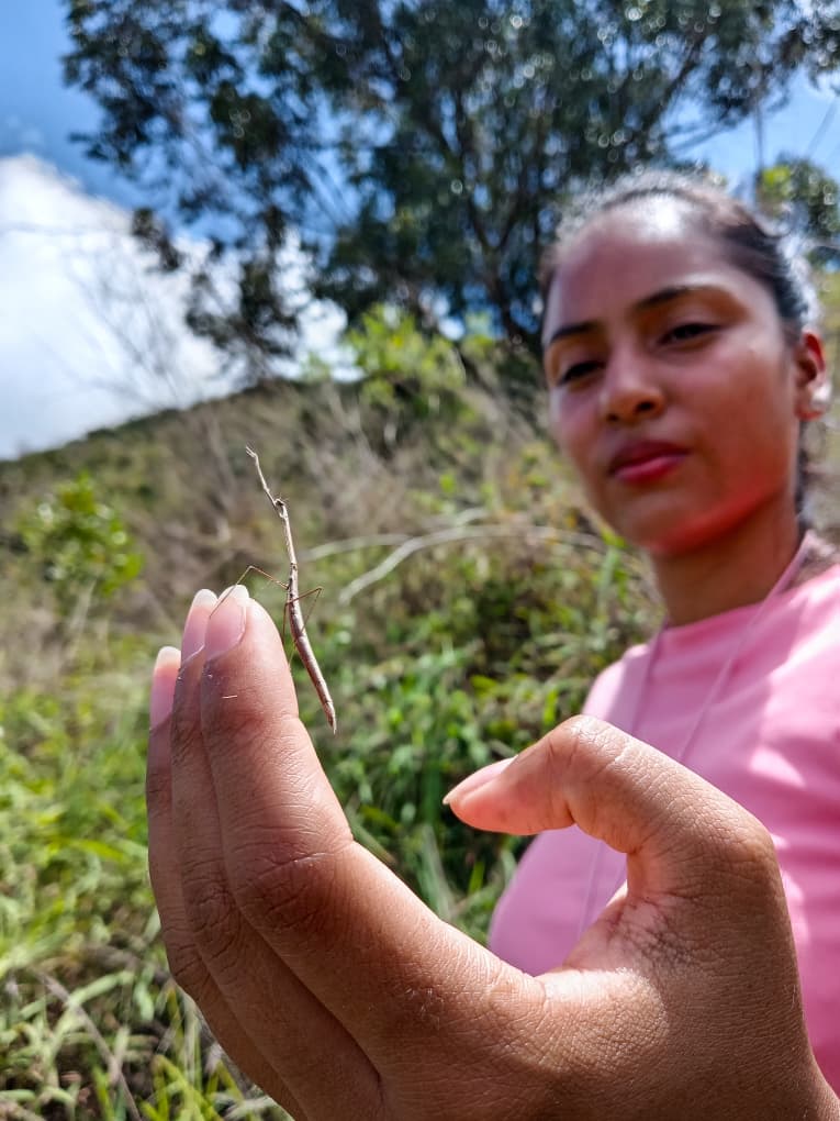
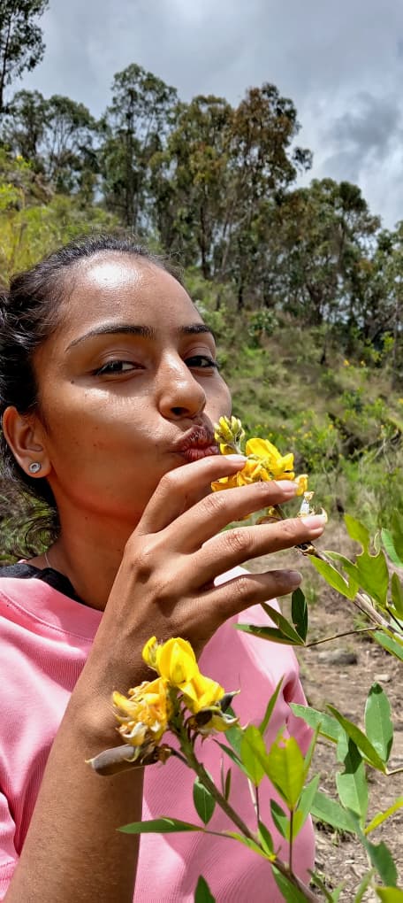
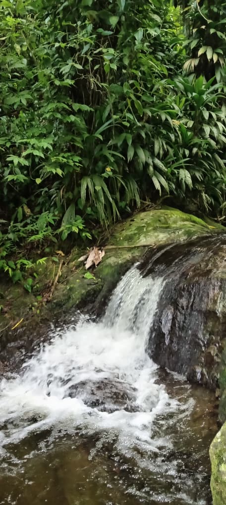
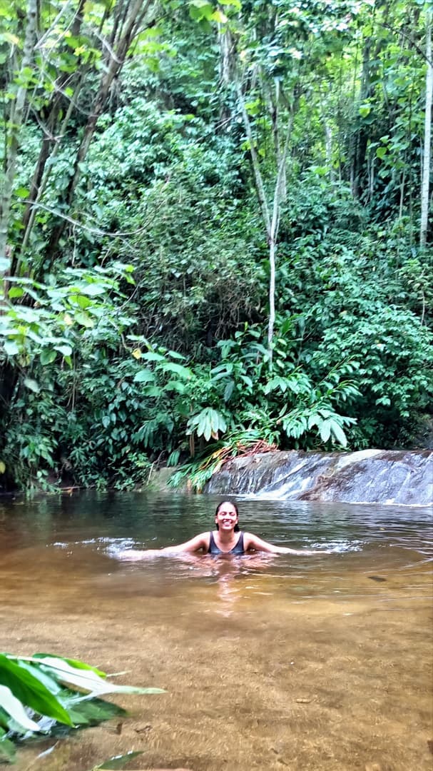
Luego continuamos hacia quebrada Tocome y pozo Paraíso donde nos esperaba un refrescante baño en las cristalinas aguas provenientes de la cima de la montaña, allí nos encontramos con otro grupo de senderistas e intercambiamos comentarios sobre lo accidentada que se encontraba la ruta, ya que hacia este lado de la montaña habían numerosos árboles caídos en medio del camino lo que nos obligaba a pasar por debajo y por encima de ellos convirtiendo la ruta en algo más tedioso y dilatado de lo que recordaba, en eso la tarde se descompuso y comenzó a llover por lo cual emprendimos nuestro retorno por el estribo Duarte, sin desviarnos a pozo Negro, porque la entrada de este sendero se encontraba bastante accidentada y con lluvia no era prudente bajar por allí.
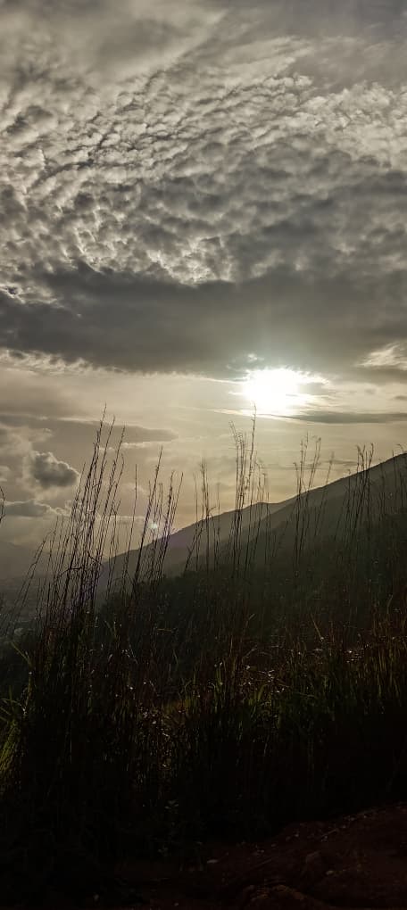
Una vez pasamos el tanque nos sentamos un rato en estribo Duarte a contemplar el hermoso atardecer y aprovechar los últimos rayos de sol para secarnos un poco, completando así una excelente ruta que en esta oportunidad me pareció ser más exigente, porque la montaña siempre nos sorprende y nos reta a dar más de nosotros.
Climbing Piedra el Indio and Paraíso Well [ENG]
Hello, friends at Hive. Today I want to tell you about the adventure I had last Tuesday, when I woke up very early, feeling 100 percent motivated and energized, ready to take on the challenge of climbing the majestic Waraira Repano National Park, commonly known as El Ávila.
Well, the day started very early because I live in the Tuy valleys, a commuter town near the capital, and I have to take three buses and a train to get to the two roads, the meeting point with my friend Iva, who would accompany me on the route, which I had planned as follows: enter Avila through the Cachimbo park ranger station, climb up to Piedra el Indio, then Quebrada Tocome, Pozo Paraíso, Pozo Negro, and finally descend way Estribo Duarte to exit through the Estribo Duarte park ranger station.
This is a route I had already done in previous years and which I personally classified as medium difficulty, but that day's destination taught me not to underestimate a route, as mountain routes can always vary. As an anecdote, that day we didn't manage to catch the Metrobus on time, and it occurred to me to ask at the bus stop which of the buses could drop us off near the entrance to El Ávila.
And that's how we got on a van, but to my surprise, when I checked my location on Google Maps, I realized the mistake I had made. because although it was true that the van passed near an access point to El Ávila, it was not the access point I had planned to start the route, so we had to wait for the van to return to the two roads. For those who are not familiar with this route, I do not recommend climbing the Duarte stairway in the middle of the morning, as the absence of trees can cause sunstroke and excessive dehydration.
Personally, I like to walk along Estribo Duarte when the afternoon begins to fade. Well, on the way back, at Dos Caminos, we take the Metrobus route 111, which takes you to the end of the main avenue of Dos Caminos. You go up to the 1,000-meter mark, arrive at a police station, and there you will find the entrance to the Cachimbo park ranger station, where we sign the visitor logbook to record our entry into the park.
We began our ascent, for which I turned on my radio to test communication with my friend Jose Contreras, who would be assisting me in monitoring the route as a preventive measure. I recommend that if you have this equipment, you take it with you. Currently, there are several search and rescue groups listening to the Mountain Radio Channel 9-11 (UHF, 467.5875 MHz), which is a community program in Venezuela for coordination and training in the use of free-use radios for mountain activities, with the aim of improving safety.
So the magic of the mountains enveloped us and we began to disconnect from the chaos of the city, our routine, our problems, etc. Because if there is one thing that mountains have, it is their therapeutic and energetic power. Mountains teach us to control our egos and to value our connection to the earth.
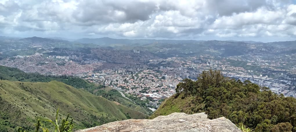
During our hike, we noticed that some pruning and weeding had been done near the power transmission towers, but the felled trunks and branches had not been removed, obstructing the path. In addition, the undergrowth in certain areas of the trail practically engulfed us, which is understandable because these access points had been closed to the public for almost half a year. The truth is that we reached the Indian rock and were able to enjoy an excellent view of the city with a clear, turquoise blue sky that I know many abroad would envy.
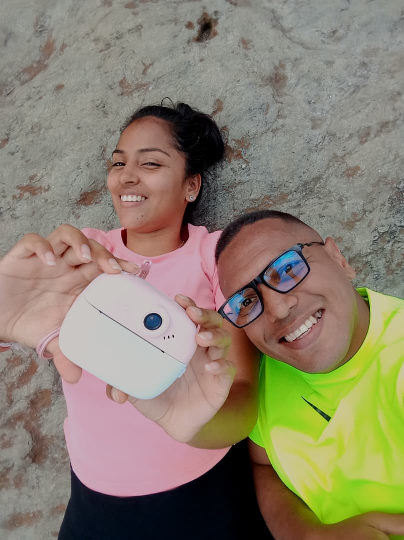
Then we continued on to the Tocome ravine and Paraíso pool, where we enjoyed a refreshing swim in the crystal-clear waters flowing from the top of the mountain. There we met another group of hikers and exchanged comments about how rough the route was, since on this side of the mountain there were numerous fallen trees in the middle of the path, forcing us to pass under and over them, making the route more tedious and lengthy than I remembered. Then the afternoon turned sour and it started to rain, so we began our return journey via the Duarte foothill, without detouring to Pozo Negro, because the entrance to this trail was quite rough and with the rain it was not wise to go down there.
*Once we passed the tank, we sat for a while on the Duarte ridge to watch the beautiful sunset and take advantage of the last rays of sun to dry off a bit, thus completing an excellent route that this time seemed more demanding to me, because the mountain always surprises us and challenges us to give more of ourselves. *