Read this post on TravelFeed.io for the best experience
https://www.youtube.com/watch?v=cCotsASGIPE
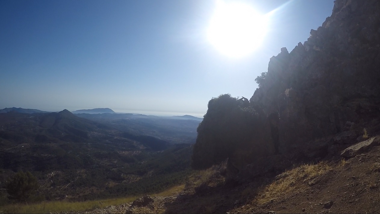
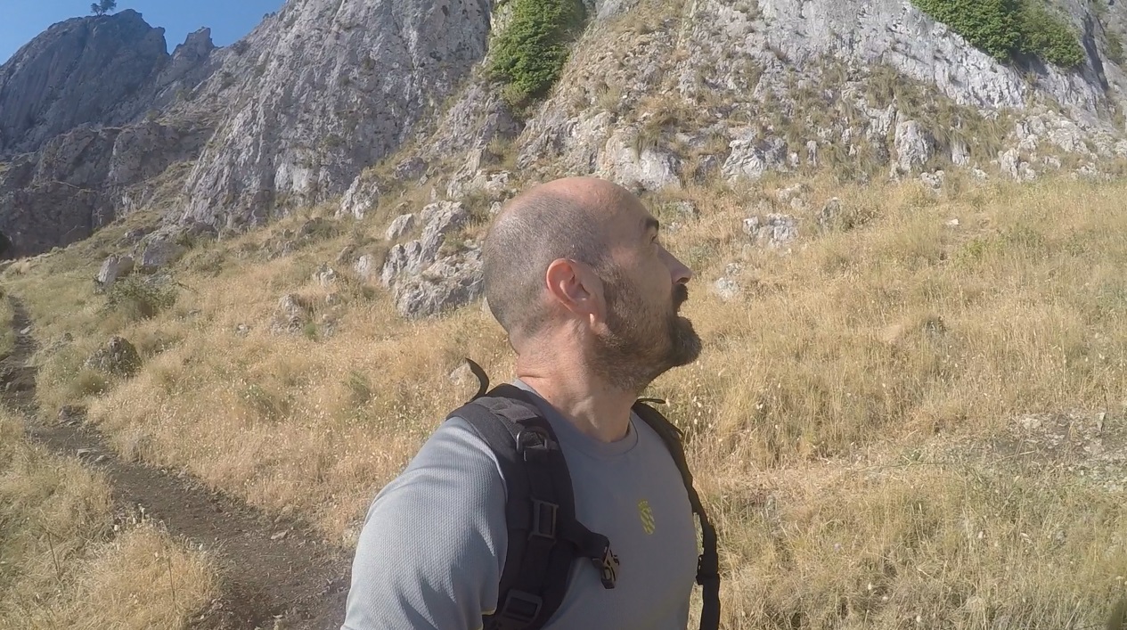
After crossing "el Forat" ("the Hole", a narrow tunnel through which you have to crawl, which connects the northern and southern slopes of the Sierra de Bernia), I am chatting and explaining some data about the history and formation of this mountain range.
It's interesting to know that when doing this hiking route (PR-CV 7 of Sierra de Bernia) you are walking on land that was under the sea for millions of years; specifically, you walk on part of the seabed of the Tethys ocean when, back in the Mesozoic era, dinosaurs populated the earth (and the seas).
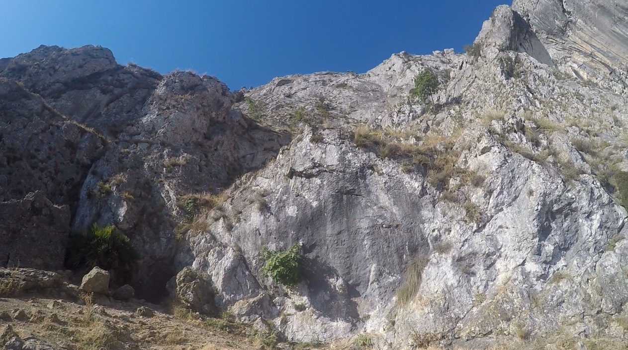
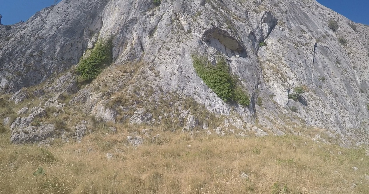
It's known that these limestone mountains that you see in the video and that make up the Sierra de Bernia mountain range (maximum height of 1,100 meters) were formed in the alpine folding of the Miocene (Cenozoic), and are full of fossil skeletons of animals that inhabited the Tethys Sea more than 20 million years ago.
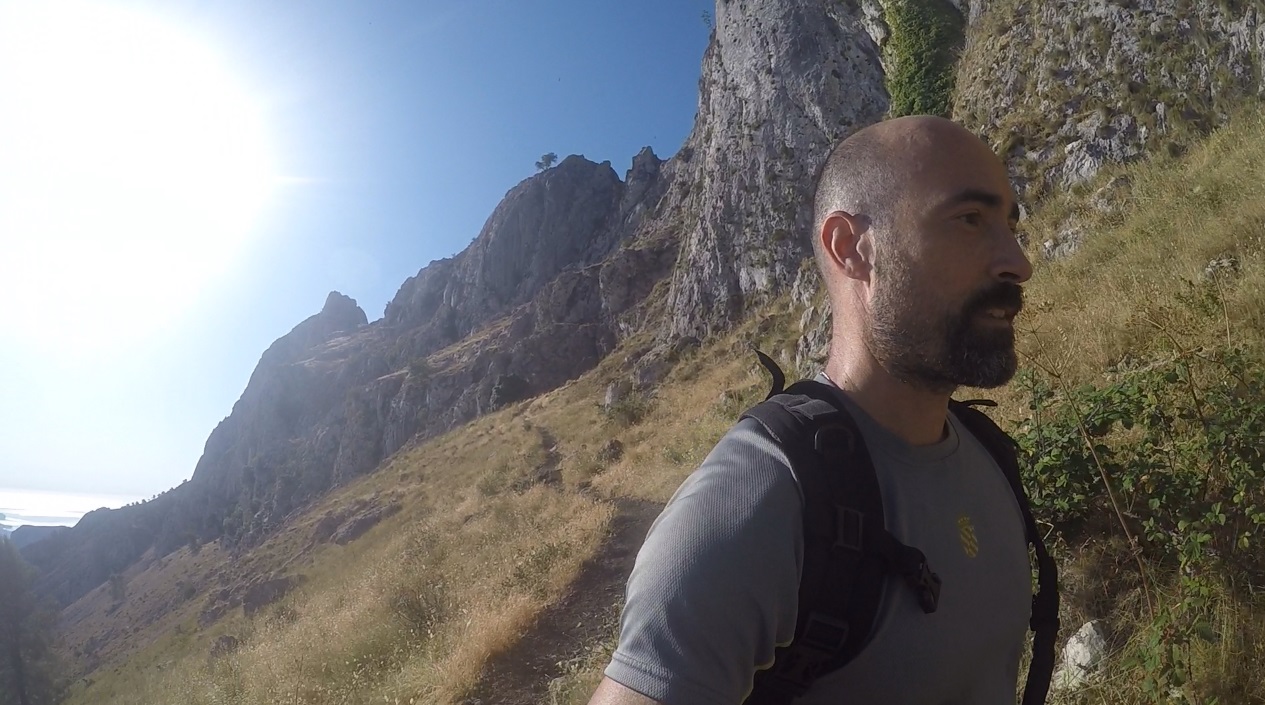
As an interesting fact, the Sierra de Bernia is the closest vertical kilometer to the sea in the entire Iberian Peninsula.
Sharing with you now some YouTube Shorts from the beginning of the hiking route.
My starting point, close to a parking lot:
https://youtube.com/shorts/CuNLcyXbQ04
Admiring this rocky ground (limestone screes):
https://youtube.com/shorts/ogtF8xhEj2A
When arrived to "the Hole":
https://youtube.com/shorts/kbFylJTETFA
Northern slope, after crossing "the Hole":
https://youtube.com/shorts/FCZlMp4llOk
(Audio of the video in Spanish).
Video recorded with a GoPro Hero 8.
Photographs are screenshots taken from my videos.
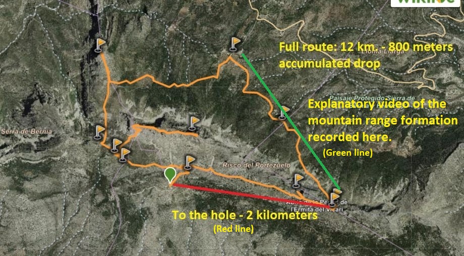
Screenshot of the route taken from Wikiloc.
Sources on which I relied to give some accurate info about the mountain range formation and the Miocene: (1), (2)
View this post on TravelFeed for the best experience.