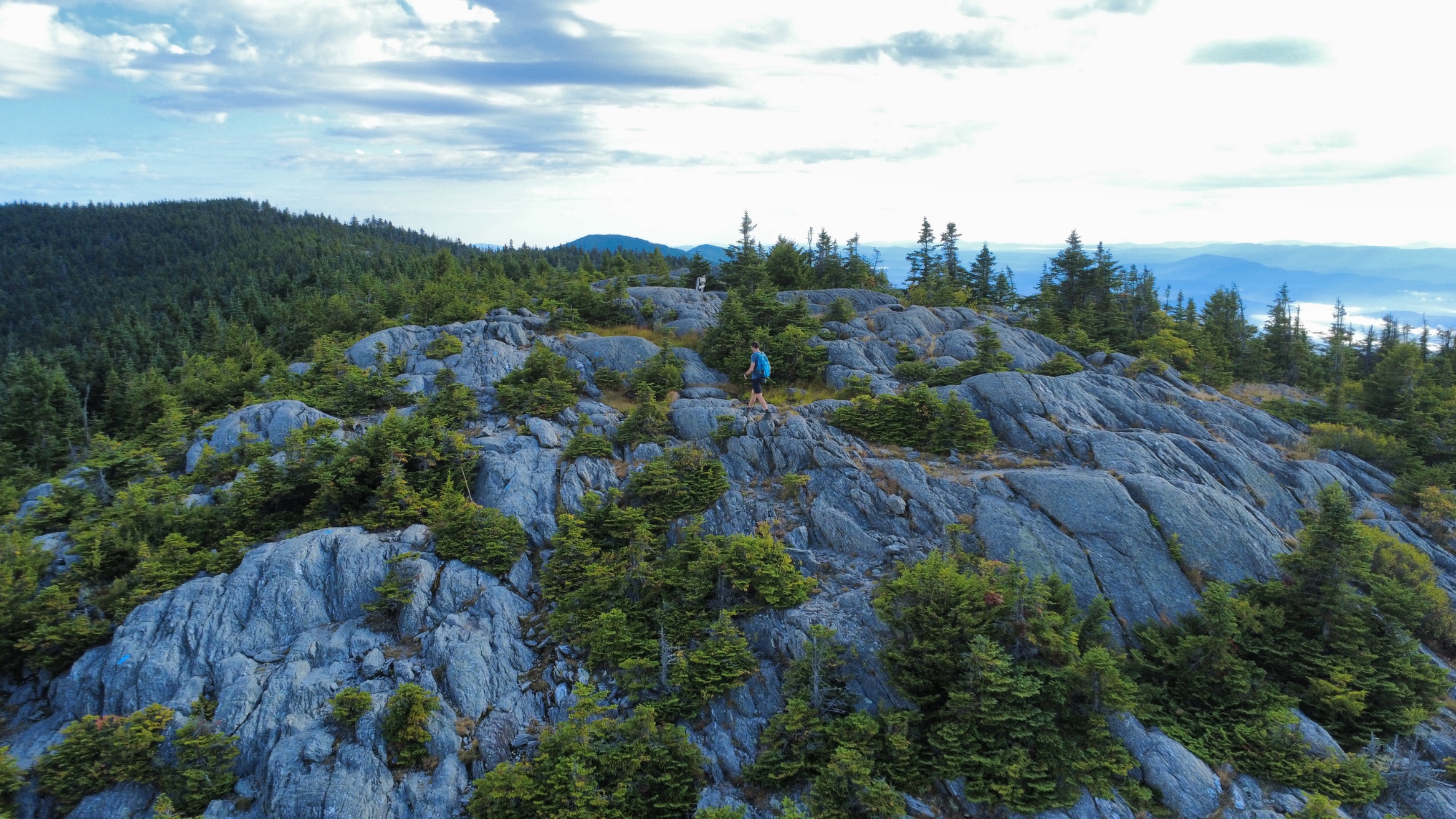
 Almost at the top of Mt. Hunger. Aerial shot from my little DJI mini 4K drone. Only weighs 249 grams!
What a hike! I had never hiked up Mt. Hunger before, so I thought today would be the perfect day to check it out. I woke up early for some ideal hiking temperatures here in Vermont, but was a little dismayed by the amount of fog. The trailhead for Mt. Hunger was about 19miles away, and driving on all the back roads was a little interesting with such dense fog. I did pass some beautiful farmland on my way.
When I got to the trailhead it was empty. I counted myself lucky, and set out...just as I heard another car pulling into the lot. I set a pretty torrid pace up the trail, knowing I had some space to cover. The trail is a little over 2 miles to the top, with an elevation gain around 2,300ft. Luckily, it has been very dry lately here in Vermont. If the trail would have been wet, it would have been much more difficult. There were lots of places where you had to scramble up rocks.
I passed by a deer and a couple of chipmunks, but not very many birds this morning. I made it up to a conifer forest near the summit, very similar to that of the nearby Stowe Pinnacle hike that I've done several times. I bet this will be a good place to come when the leaves are changing colors in a month, as the rest of the trail below was all deciduous trees.
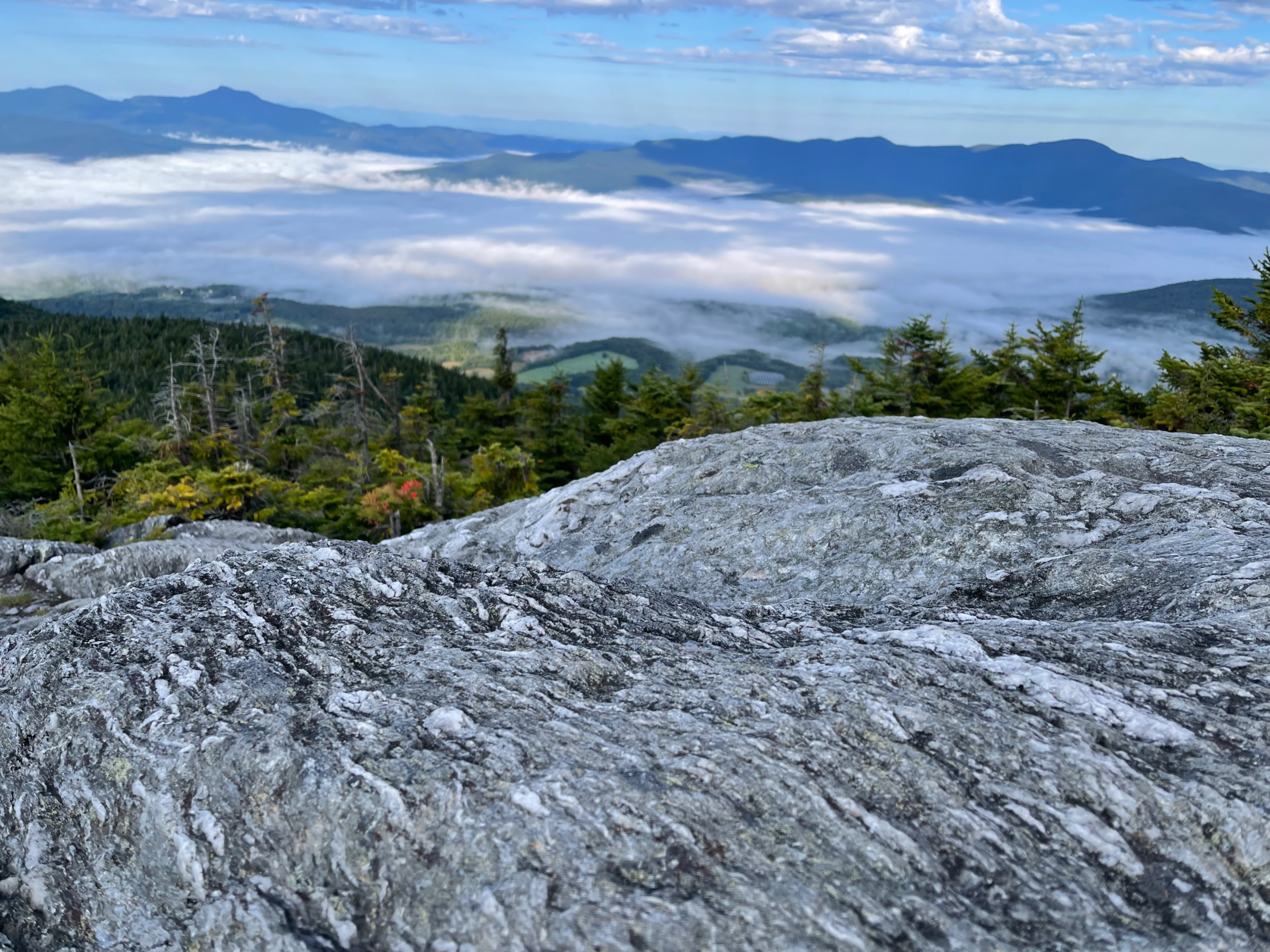
I was amazed when I busted out above the tree line. I was high above any fog, but the fog was still hugging the lowlands all down below me. It made for a very magical scene. I had the entire summit to myself, so I spent some time flying my drone for some cinematic shots of me and my surroundings. Talk about a great way to start my day!
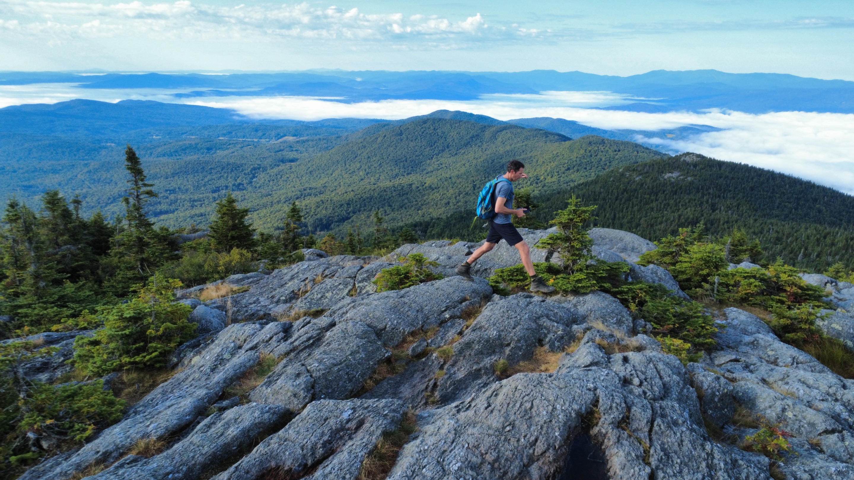 On the peak of Mt. Hunger, but I was able to send my drone a little higher to get this action shot! The town of Stowe was steeped in fog down below, but the view up here was amazing!
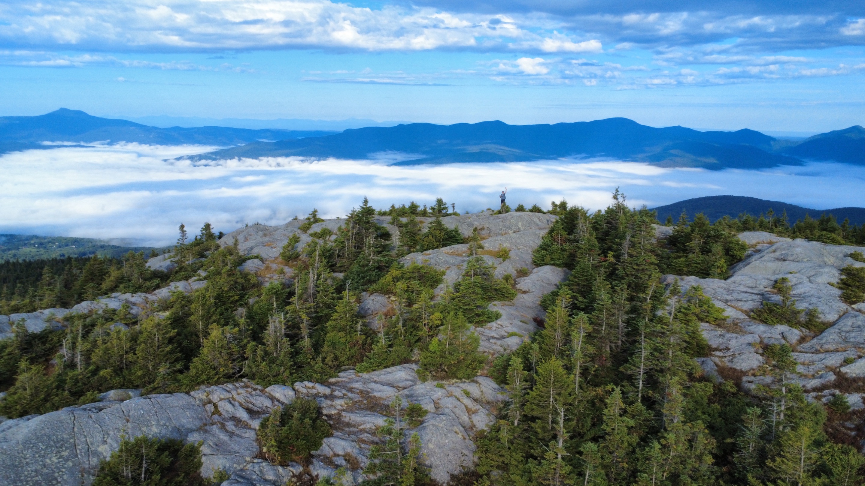 Can you find me with my hand raised high?
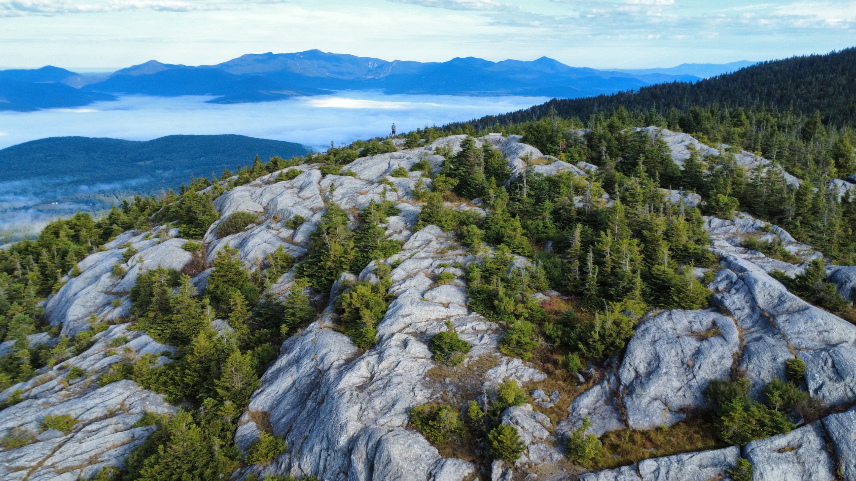 Taking in the view from the top of Mt. Hunger, in Waterbury, VT.
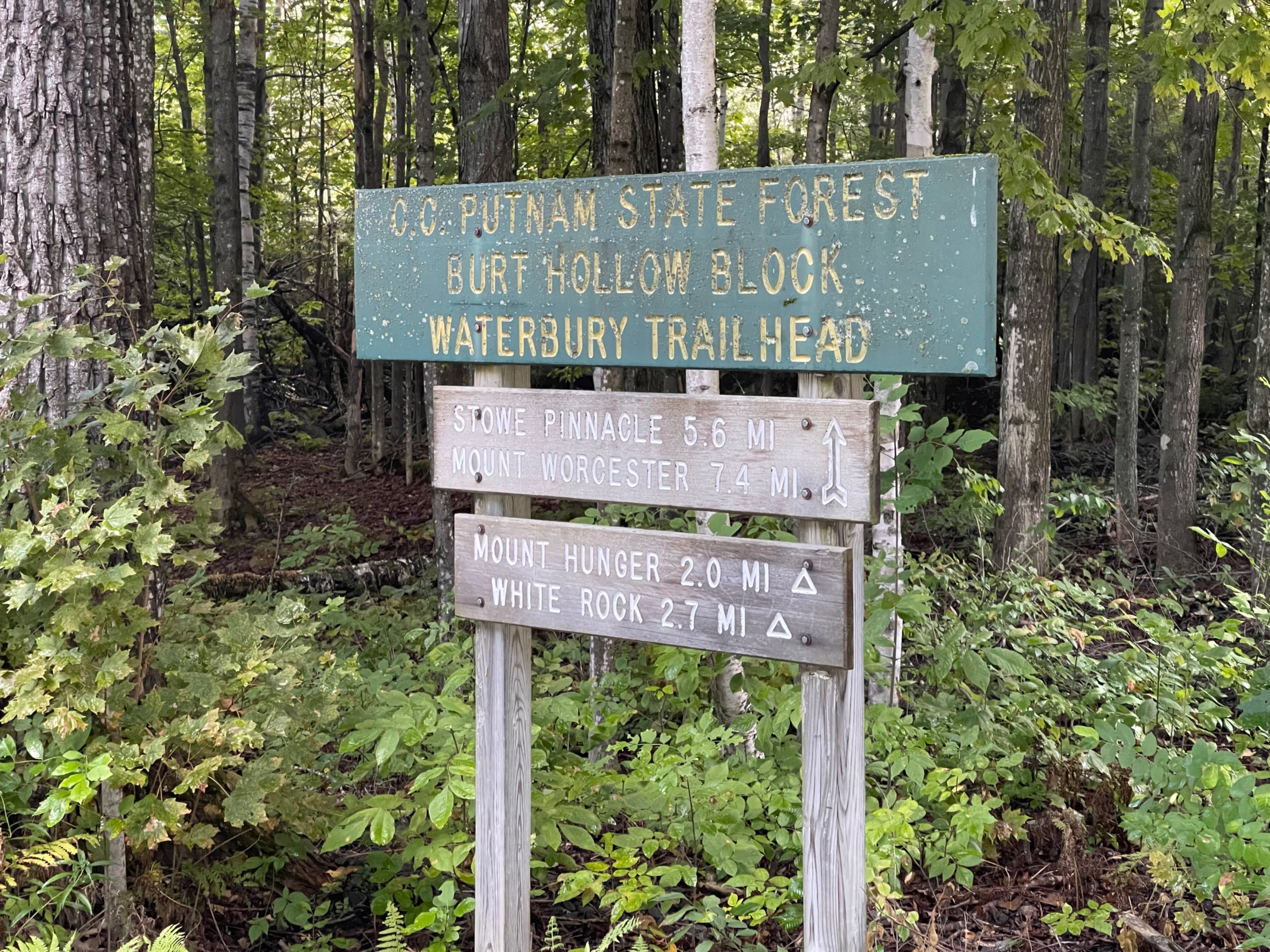
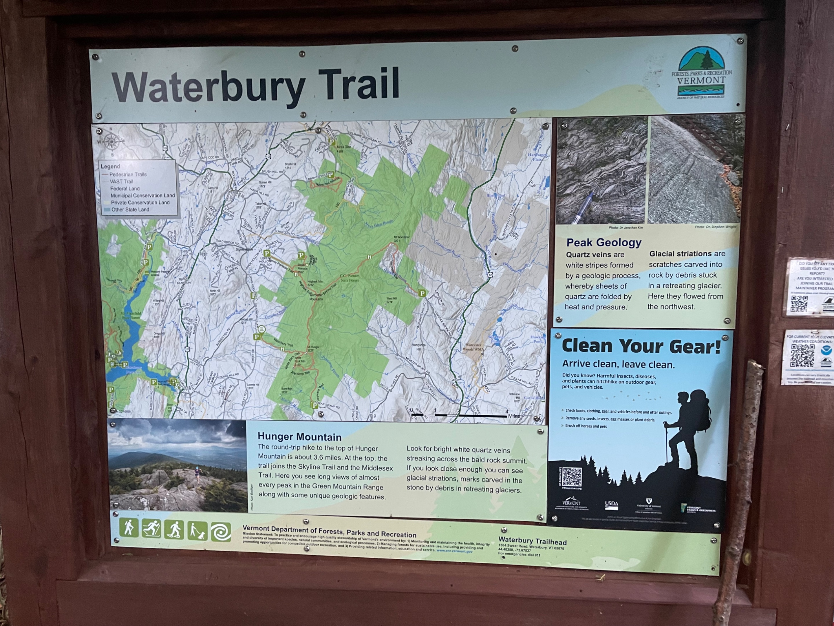 Pretty cool information at the beginning of the hike. This placard was just beyond the parking lot for the Mt. Hunger Hike. There are several ways to get to the top. I took the Waterbury Trail.
 Check out the glacial striations in the rocks. At one point, a glacier covered Mt. Hunger and made these rocks look like this.
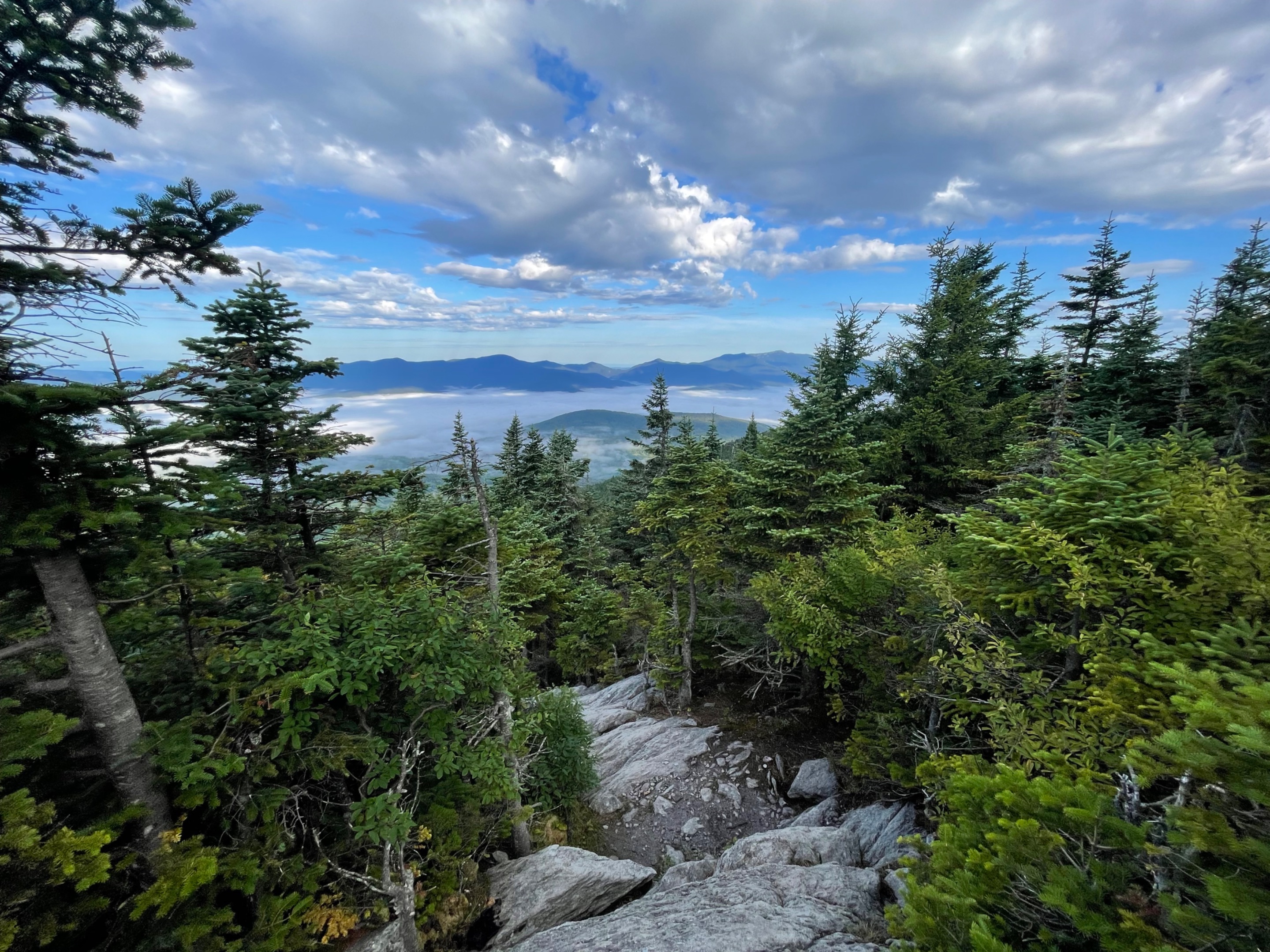 I knew I was getting to the top when I could see the sky and the evergreens got smaller.
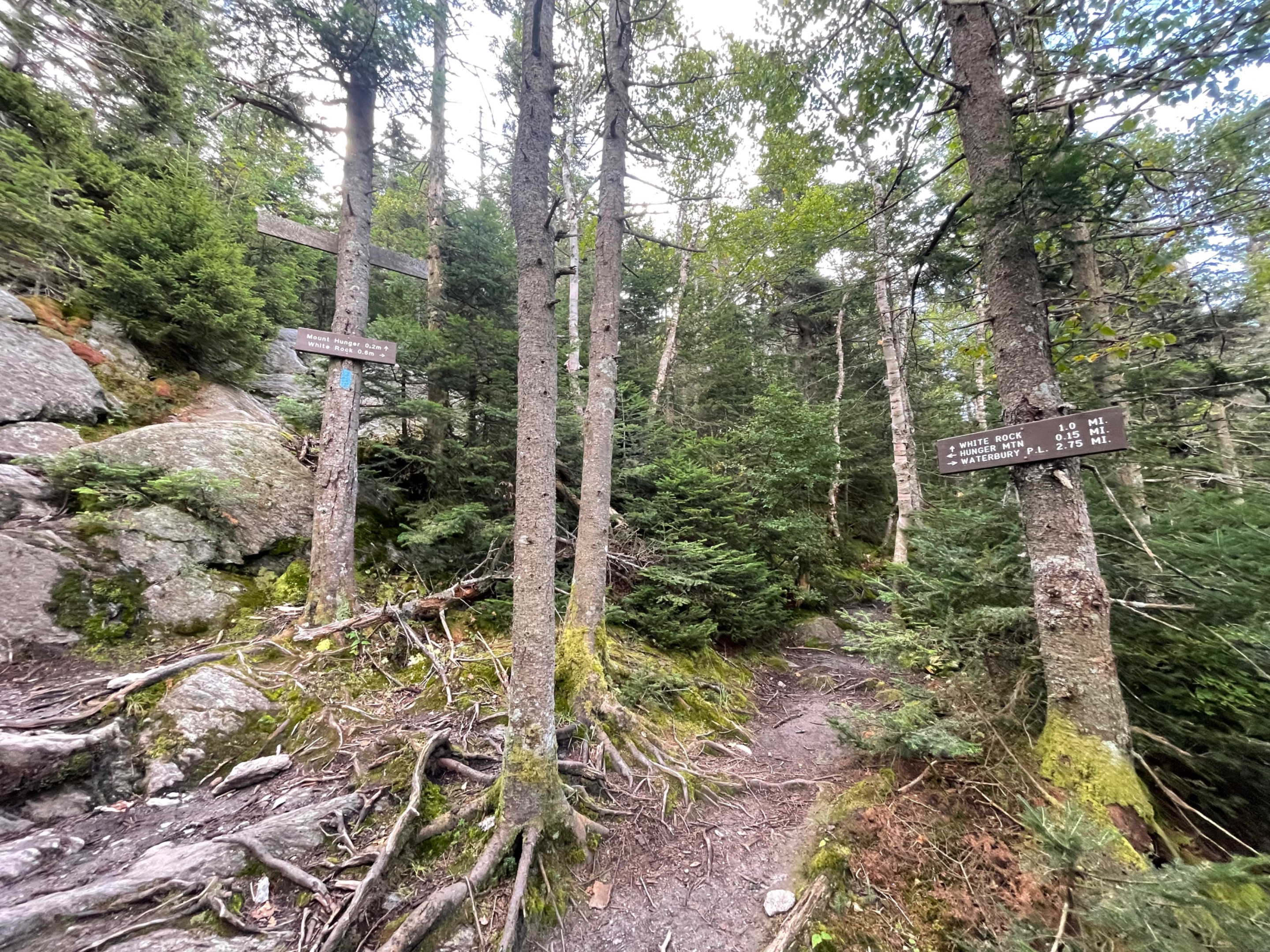
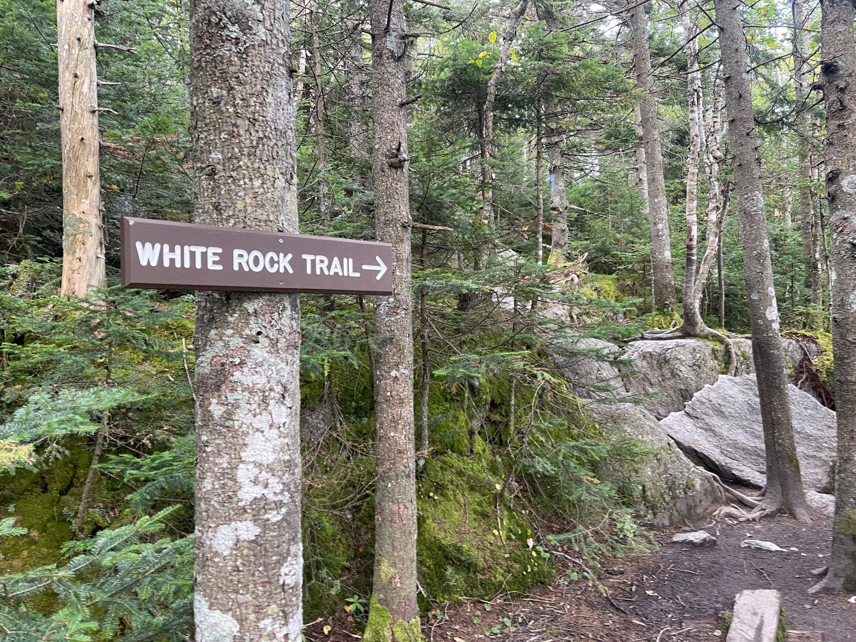
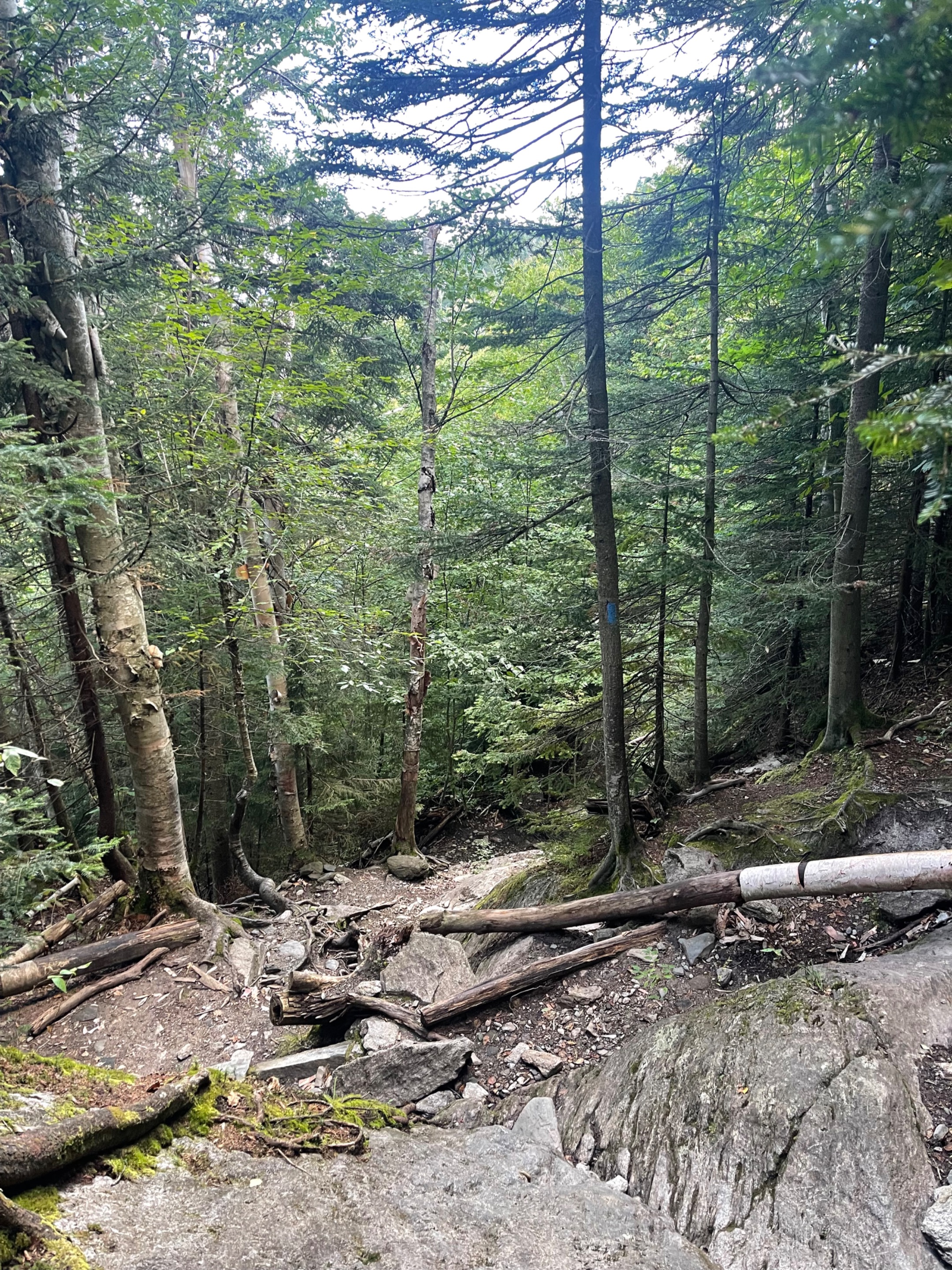
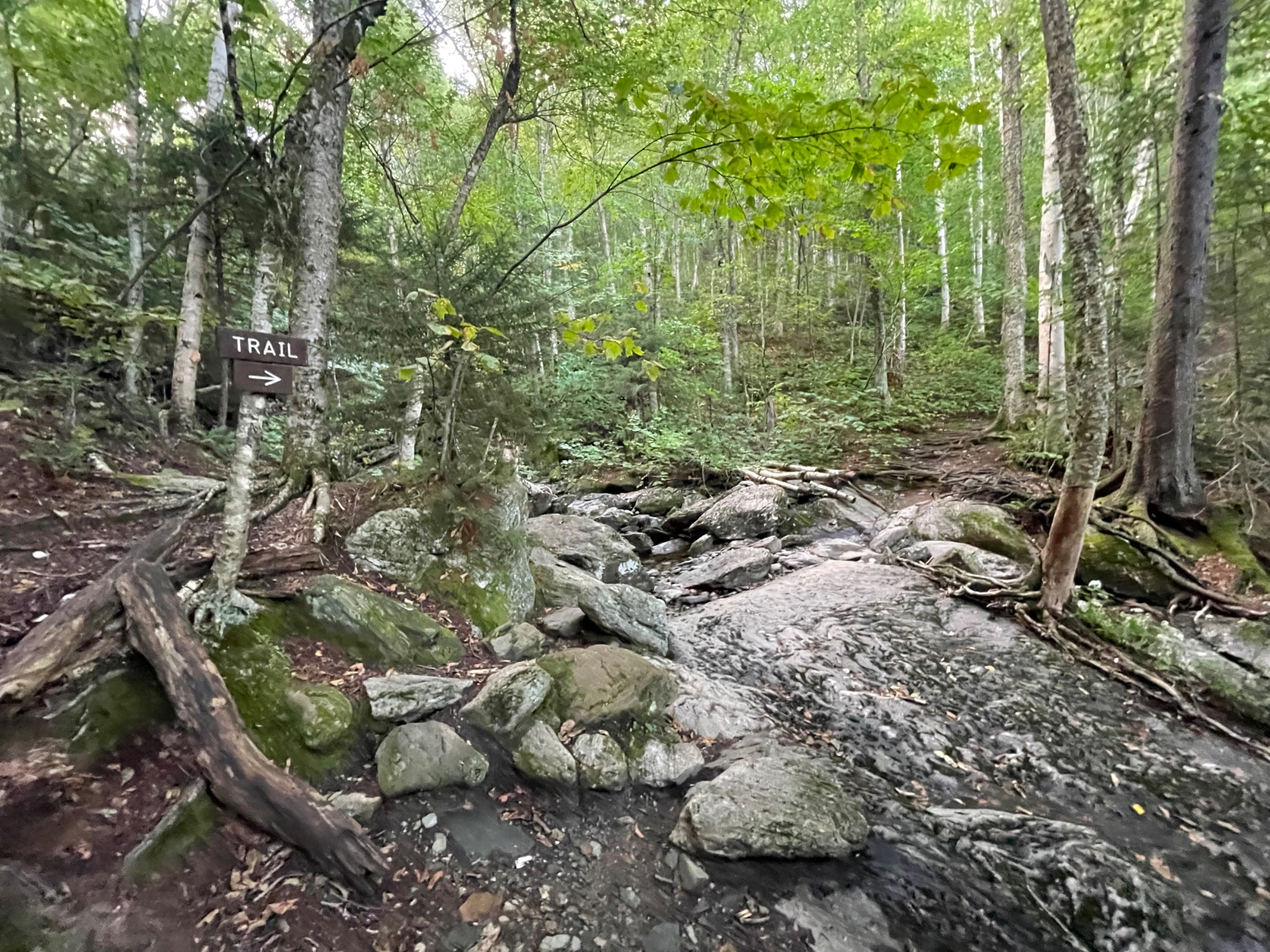 Most of the hike is under the canopy of the forest. There are a couple of places where you could easily lose the trail, but thankfully it is well signed and marked.
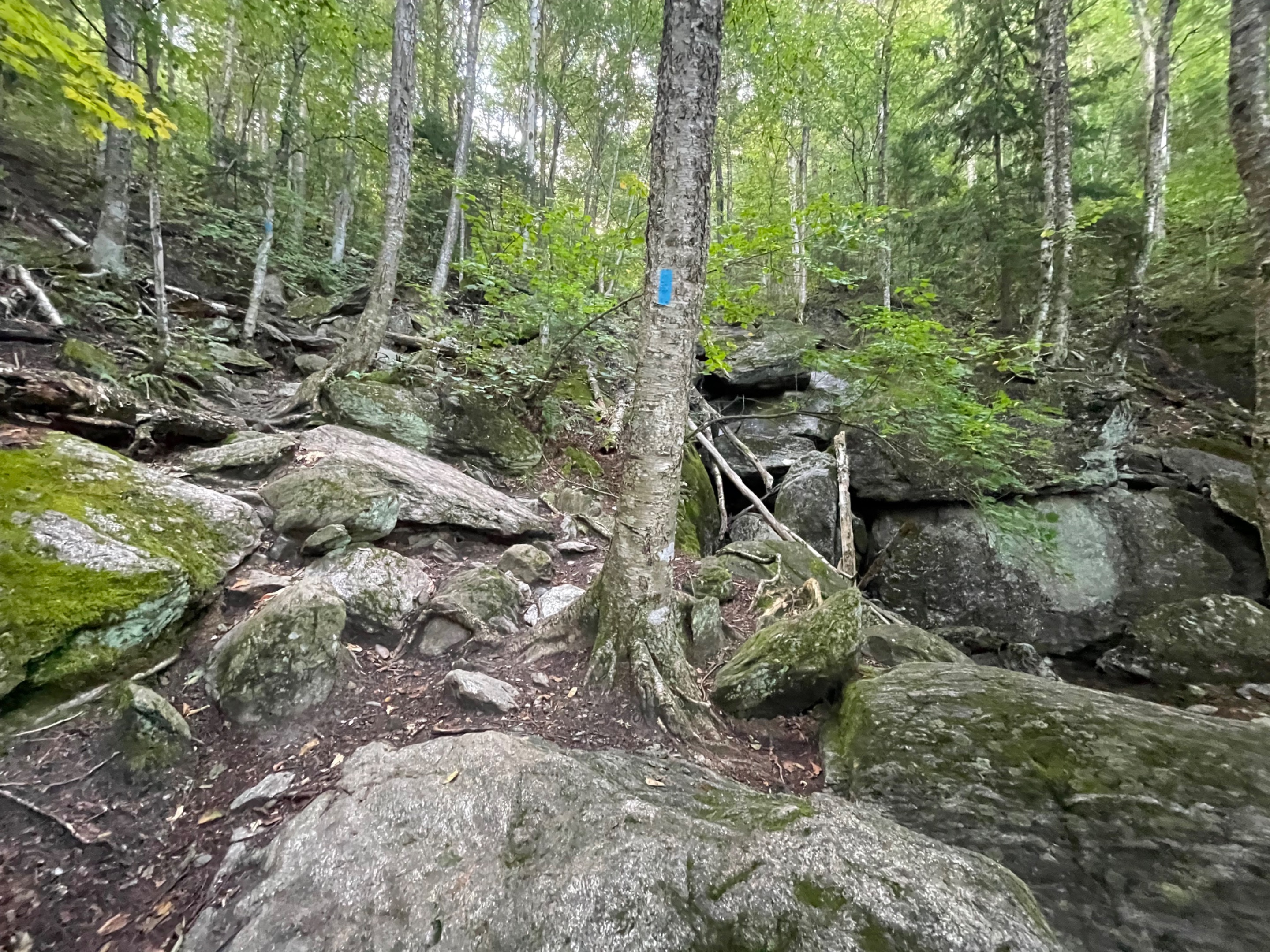 My trail had these blue markings all the way up. They came in handy a few times.
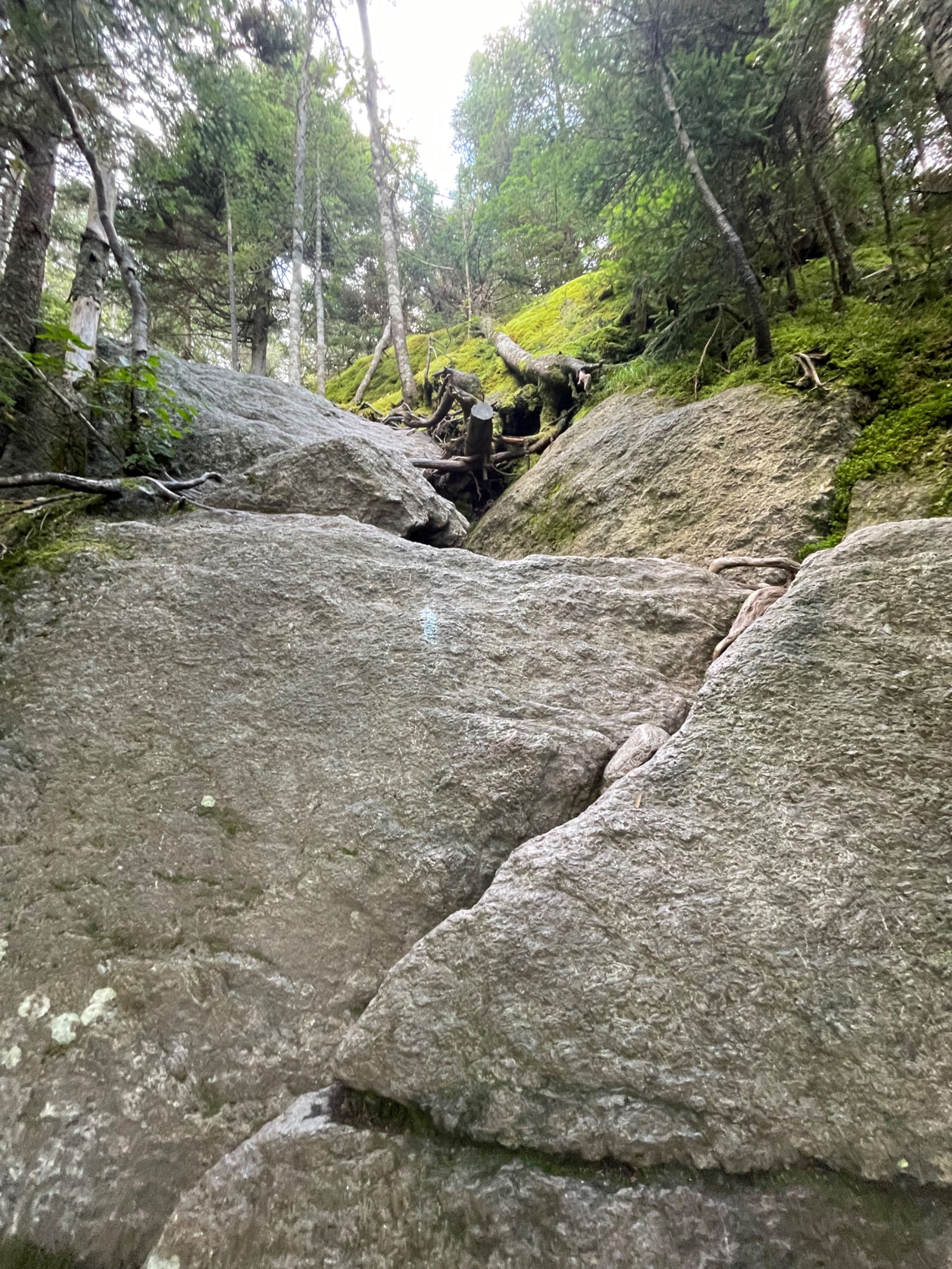 I would definitely not call this an easy hike. It was a workout getting to the top. A few places felt more like rock climbing than hiking.
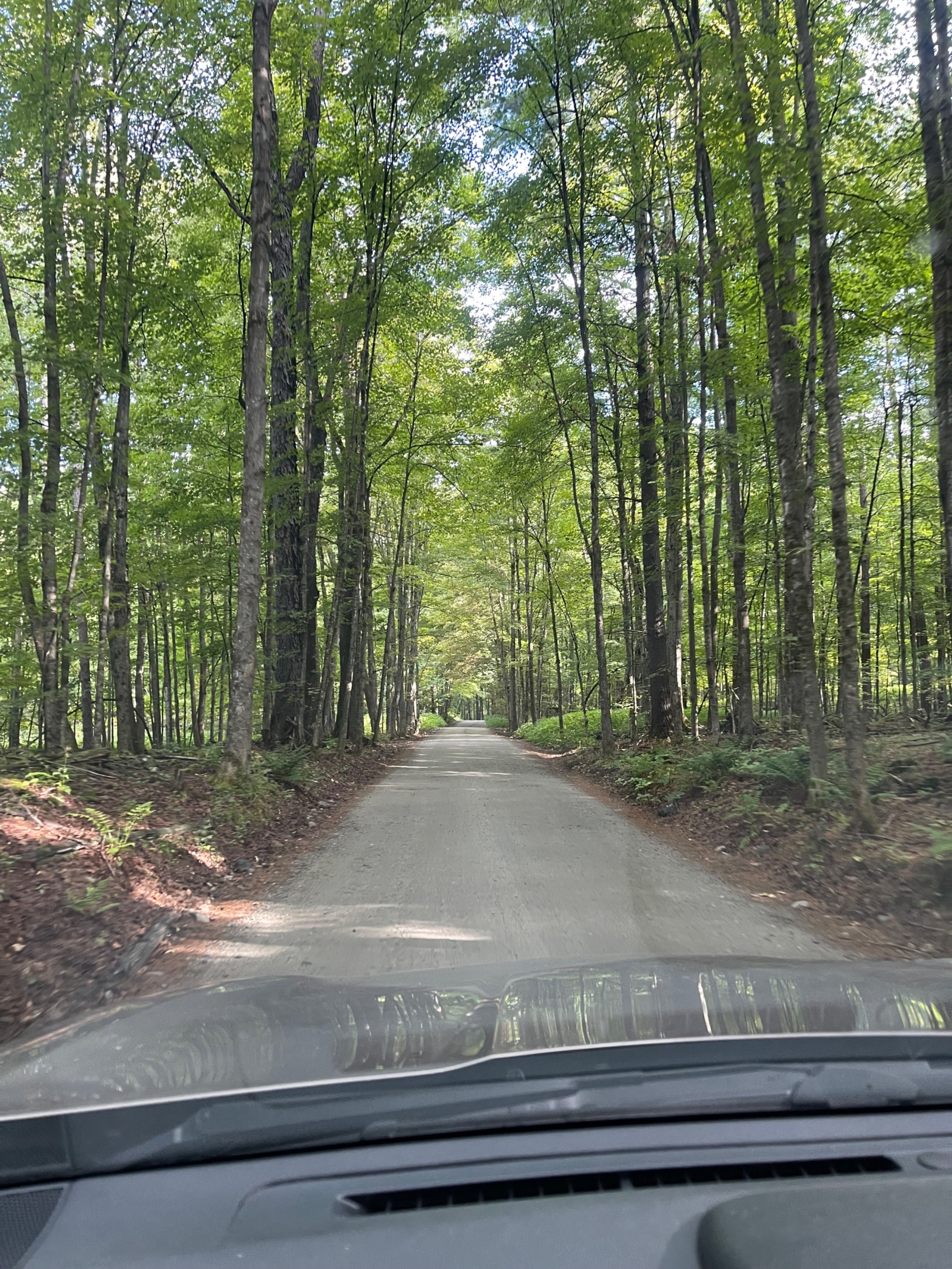 The one lane Dewey Road was a very scenic drive on the way to the Mt. Hunger trailhead.
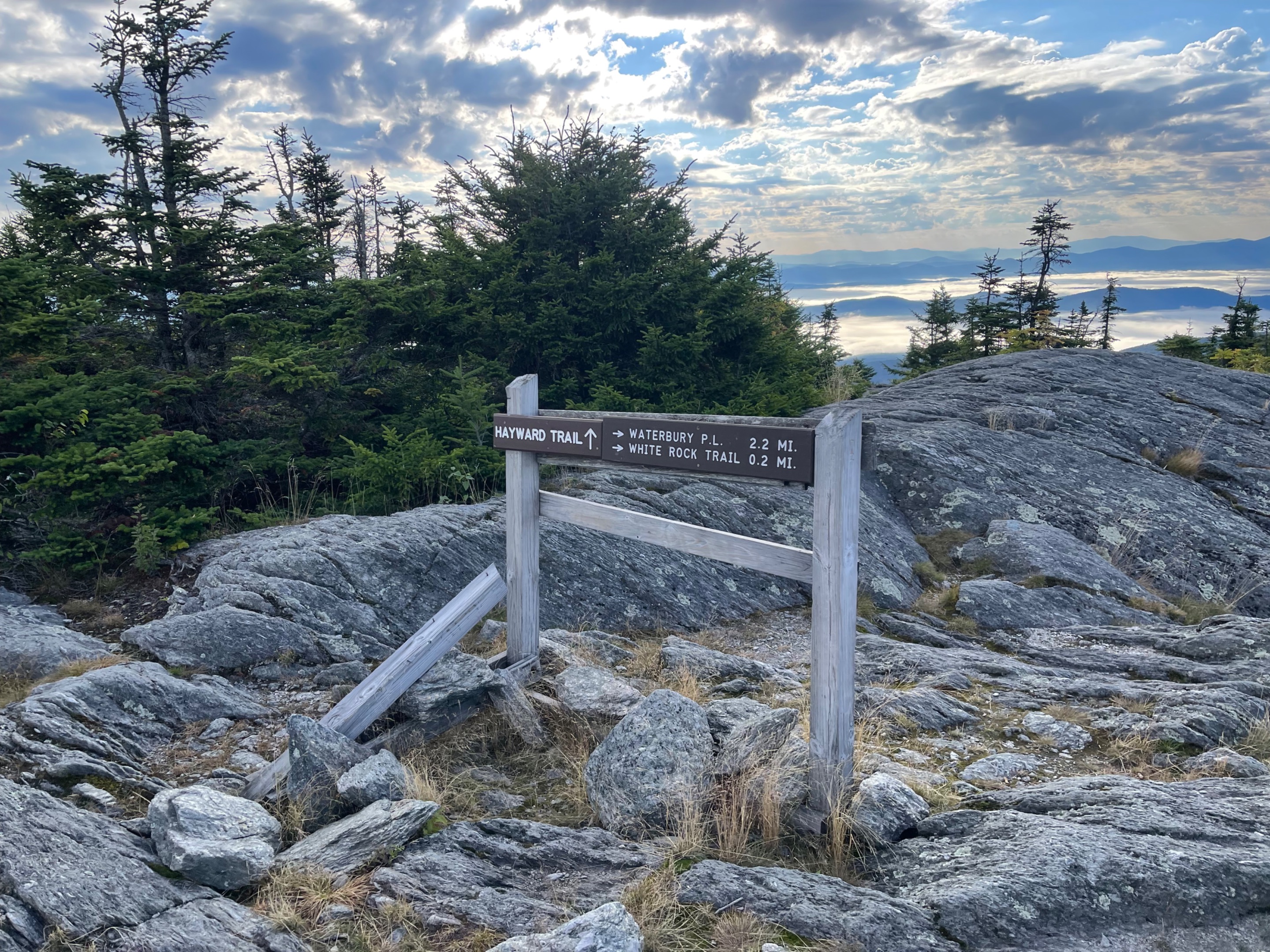
 0.15 miles to go!
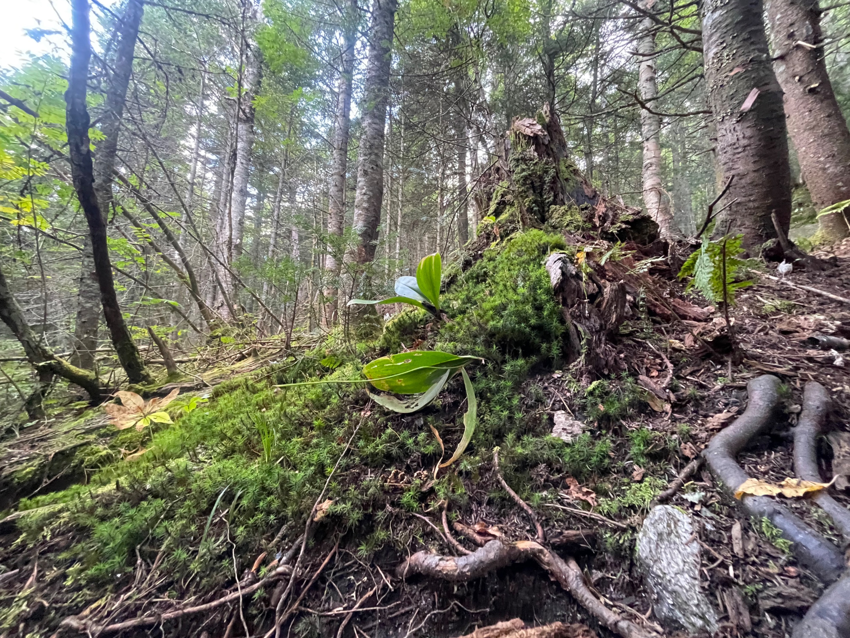 A little moss garden on the way up.
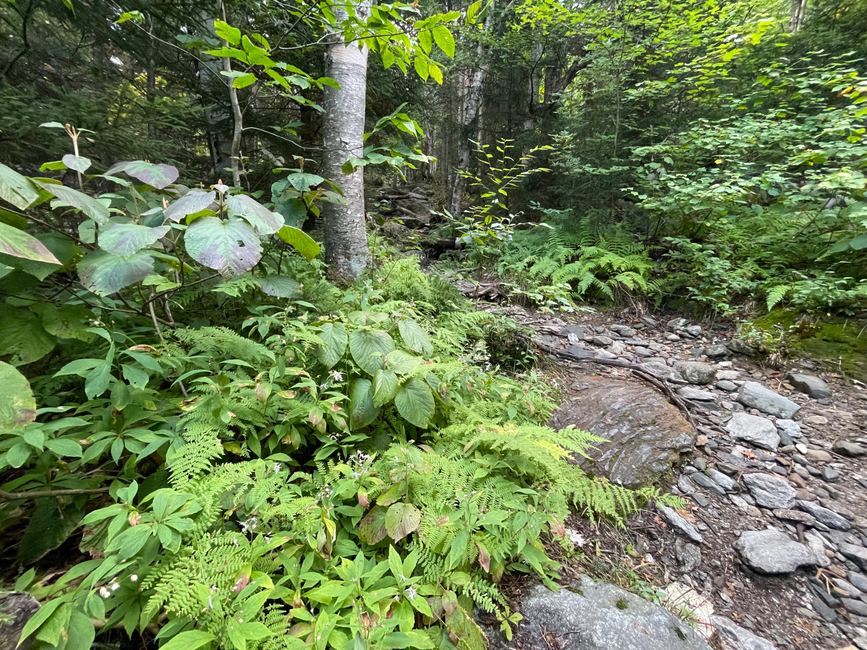 Some sunlight filtered down here and the undergrowth was so green.
 It was fun seeing this connector to the Stowe Pinnacle. I've hiked that several times. Today I was headed up a new mountain, Mt. Hunger. 2 miles to go!
 I made it to the summit. I got an early start, and I climbed up the trail pretty fast. I had a good thirty minutes at the top, all by myself. I could see for miles in every direction. Since I was by myself, I flew my drone for some fun shots.
 This was very near the top of Mt. Hunger. From here, the trail becomes very rocky.
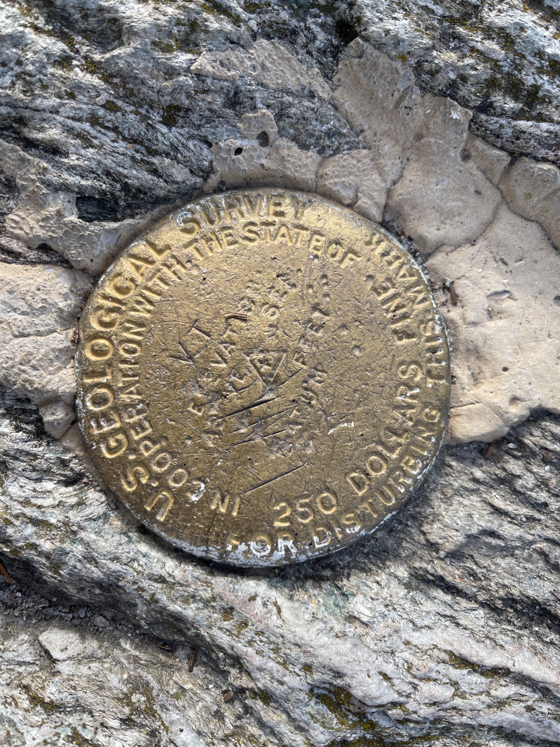 A USGS marker at the top of the mountain.
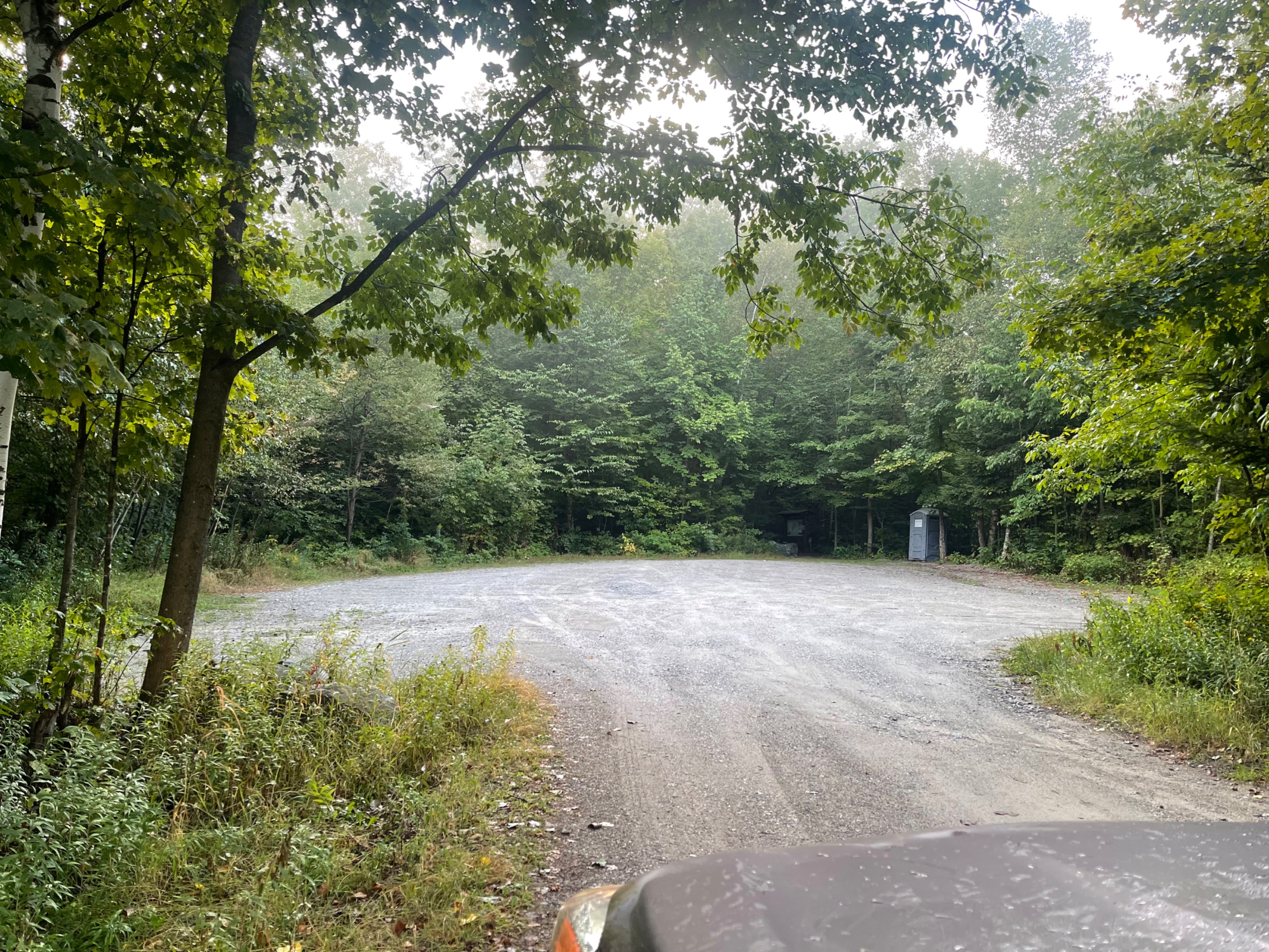 There is even a bathroom at the trailhead. Life of luxury.
 Difficult parts of the trail.
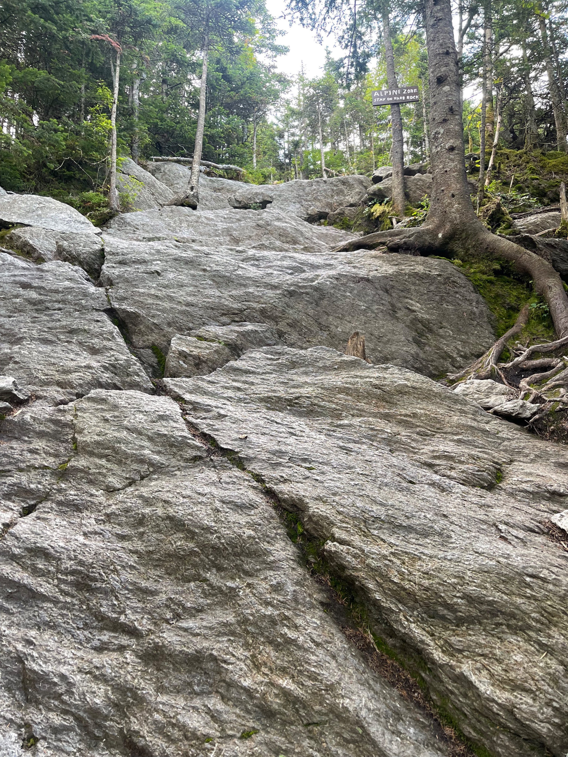 The sign is telling me to stay on the rocks, so I avoid trampling any rare alpine plant species.
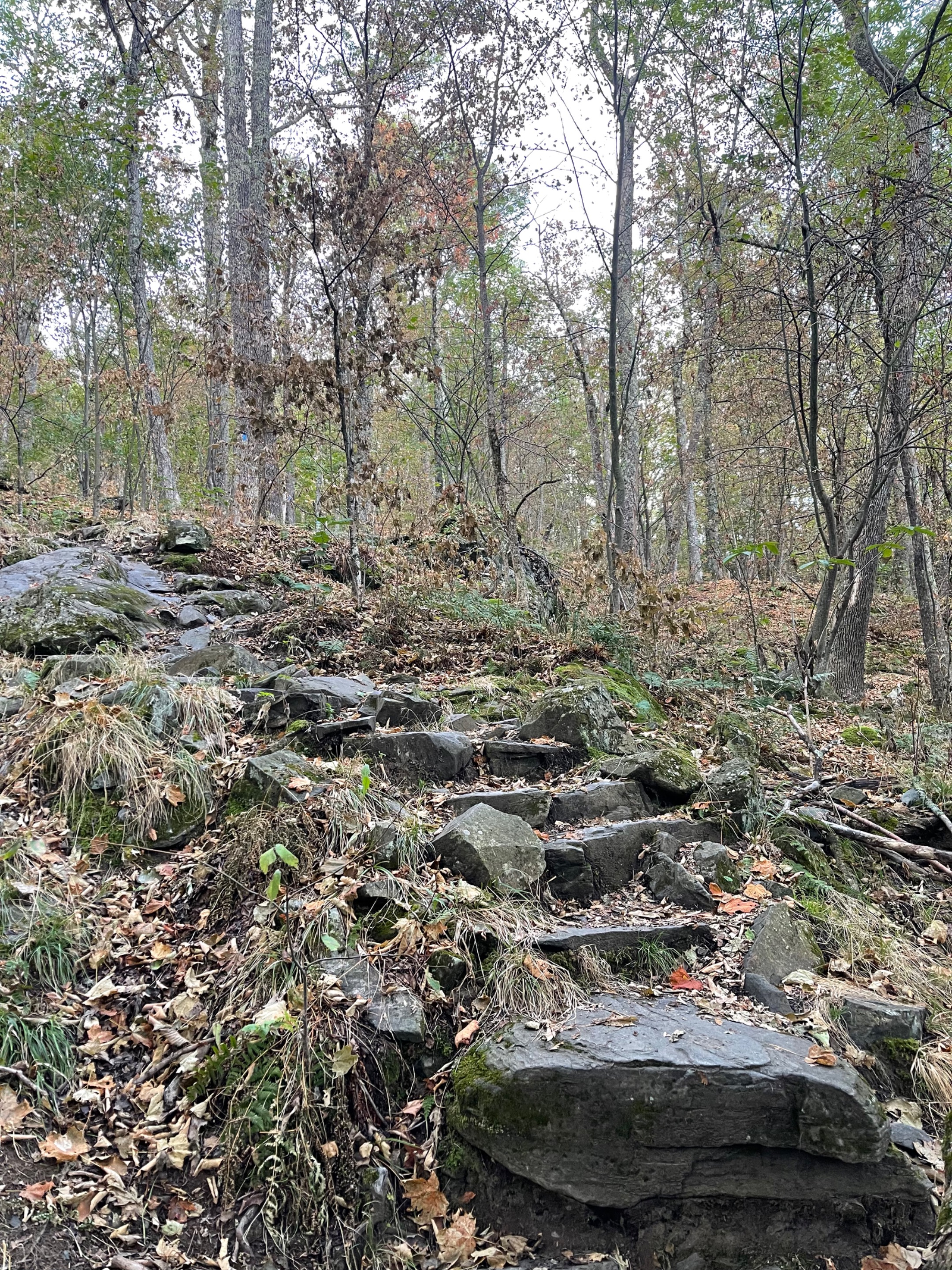 While this trail is rugged, there has been a ton of work on it to make it more doable for the normal hiker.
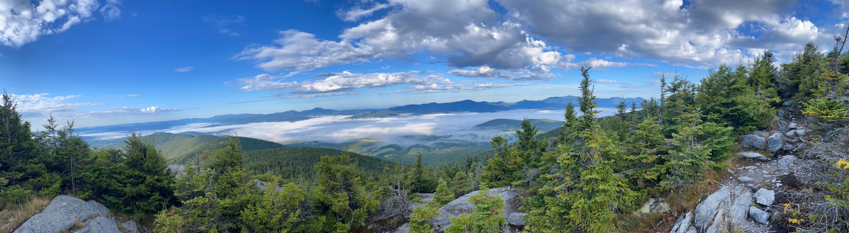 When I first busted out above the tree line, I had to stop and take a panorama. The view was just amazing.
As always, keep traveling and keep posting!
-Dai Mar