
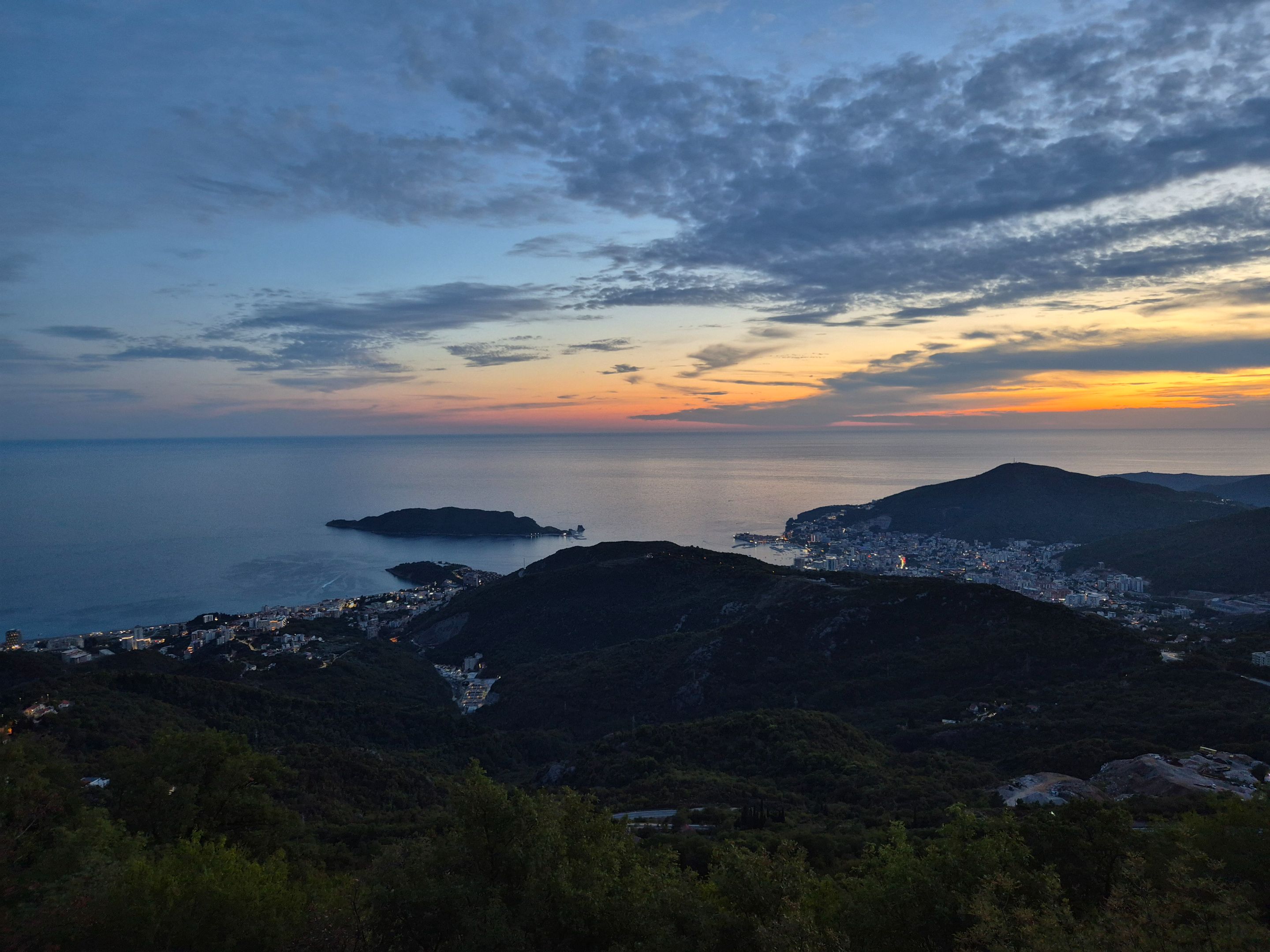
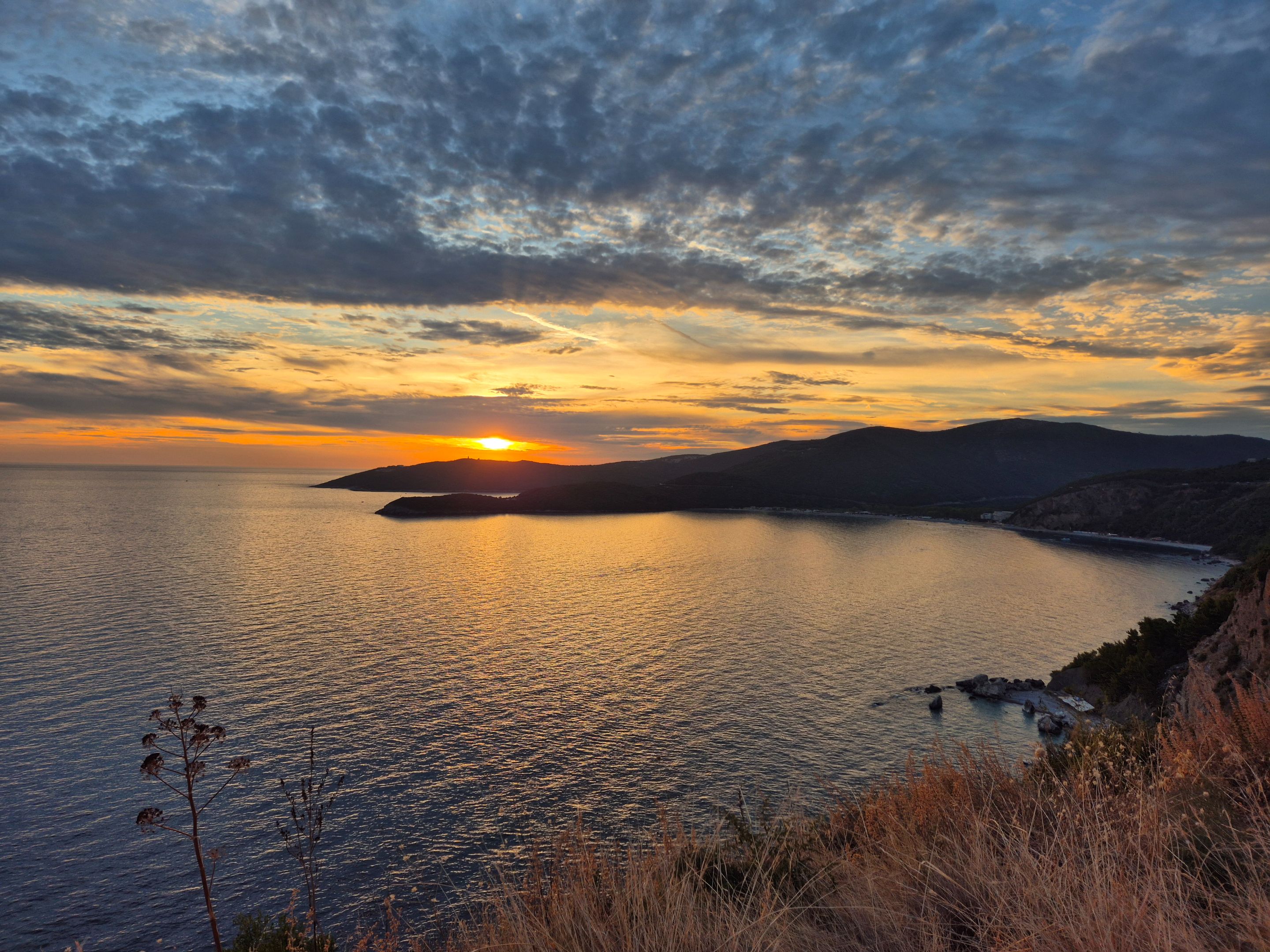
As I was approaching Budva at dusk, descending from the high mountains above the city and an altitude of over 1300m, approaching this coastal town in Montenegro, I took a photo.
Even though I went to the Budva area for work, I promised myself that this time, as every time before, when I find myself on a road trip, I will visit a location I have not been to.
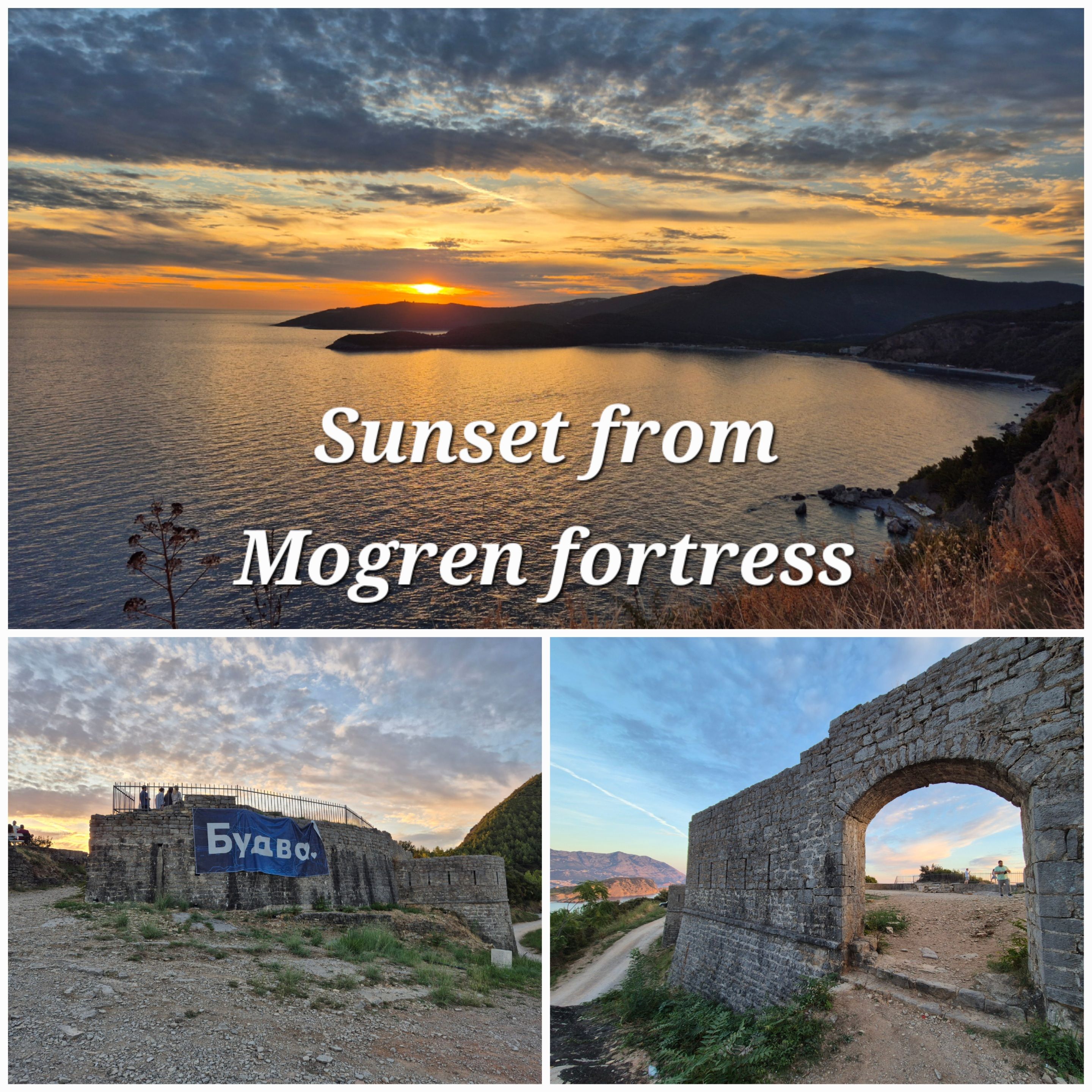
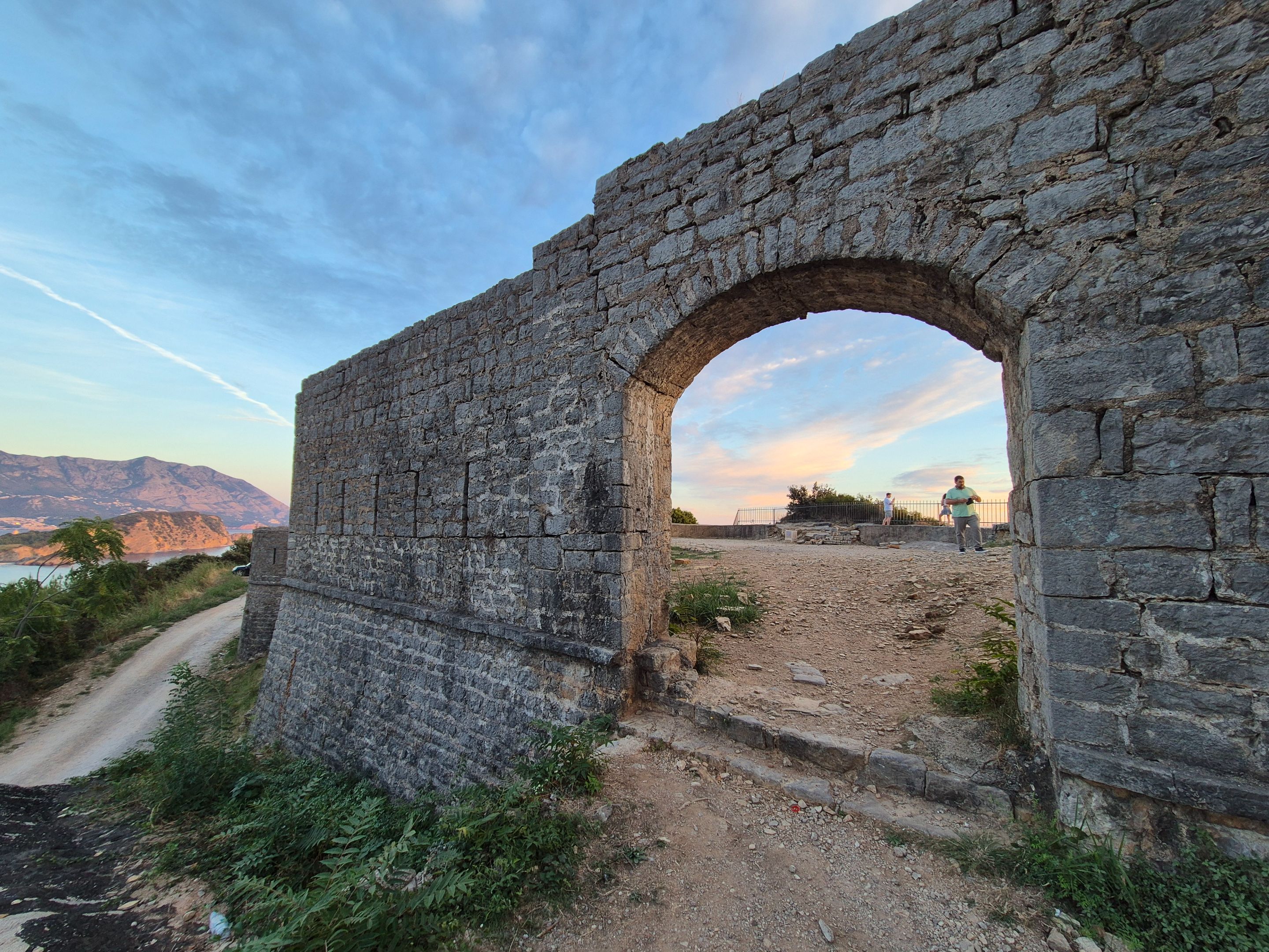
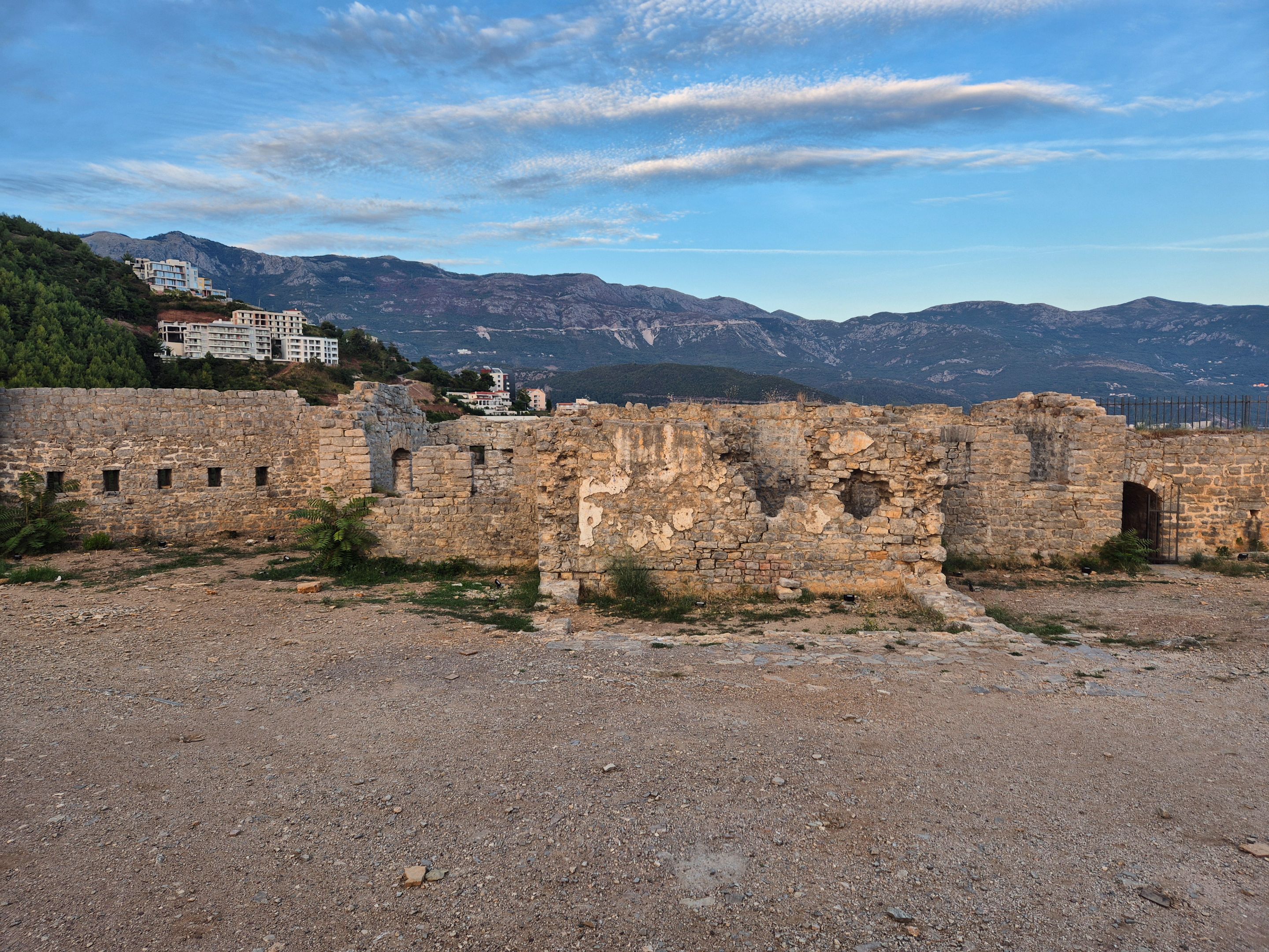
Approaching the Mogren tunnel, on the top of the Spas hill, which rises over 100m above sea level, towards the sea, I saw the remains of the fortification, which I will visit when I head back.
After finishing work, in the evening, passing by car on the same road, I turned onto a narrow gravel road and headed uphill to the former Fort Jaz.
This name was given to it by the Austrians, who built it in 1860 for the purpose of guarding the city of Budva and monitoring the entire Budva bay, as well as the island of St. Nicholas, and the Jaz beach, which is located at the foot of the hill on which the fort was built.
Instead of the name Fort Jaz, the name Fortress Mogren became popular among the people, after the beach that is located on the opposite side of Jaz beach, closer to Budva.
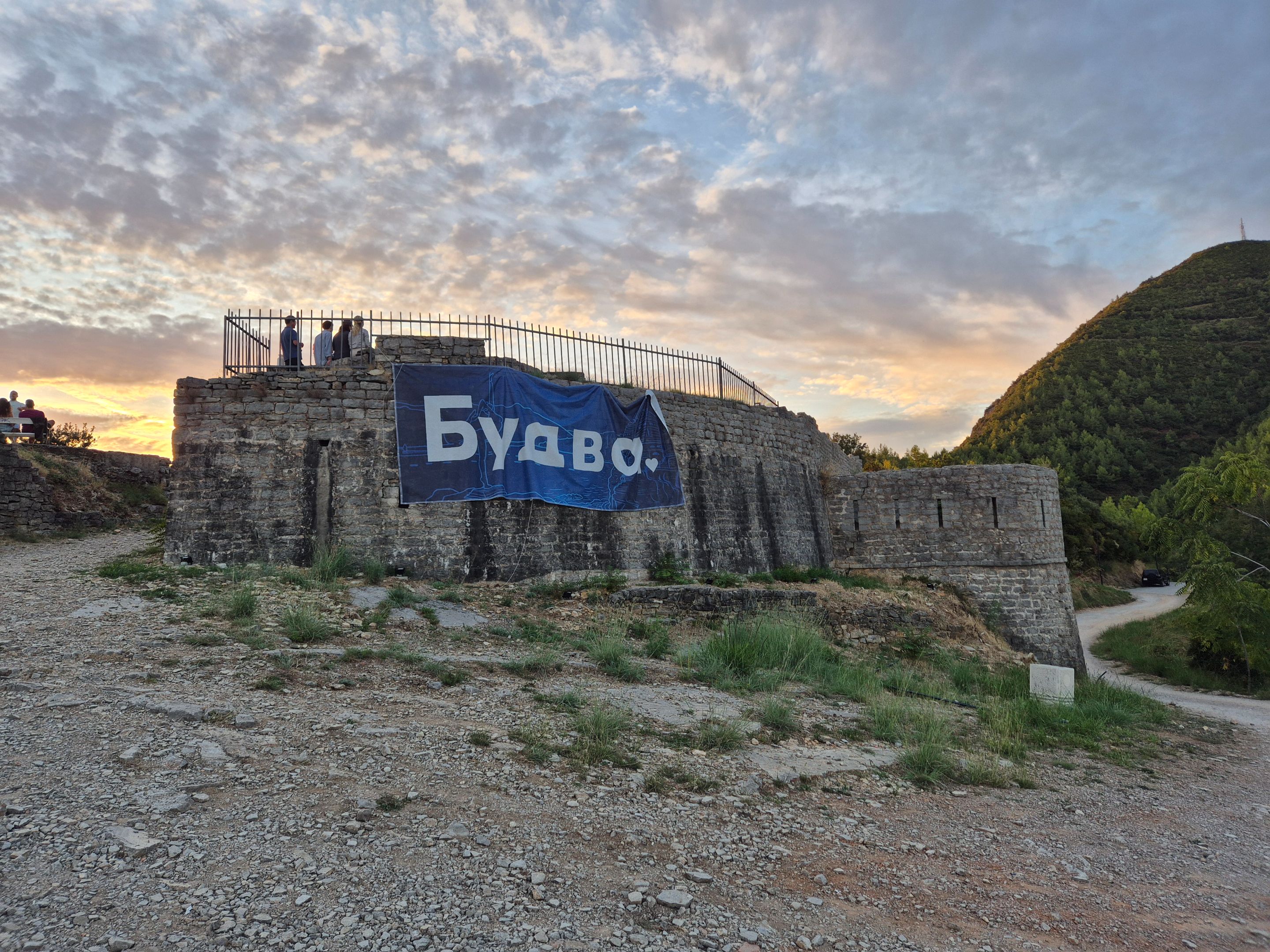
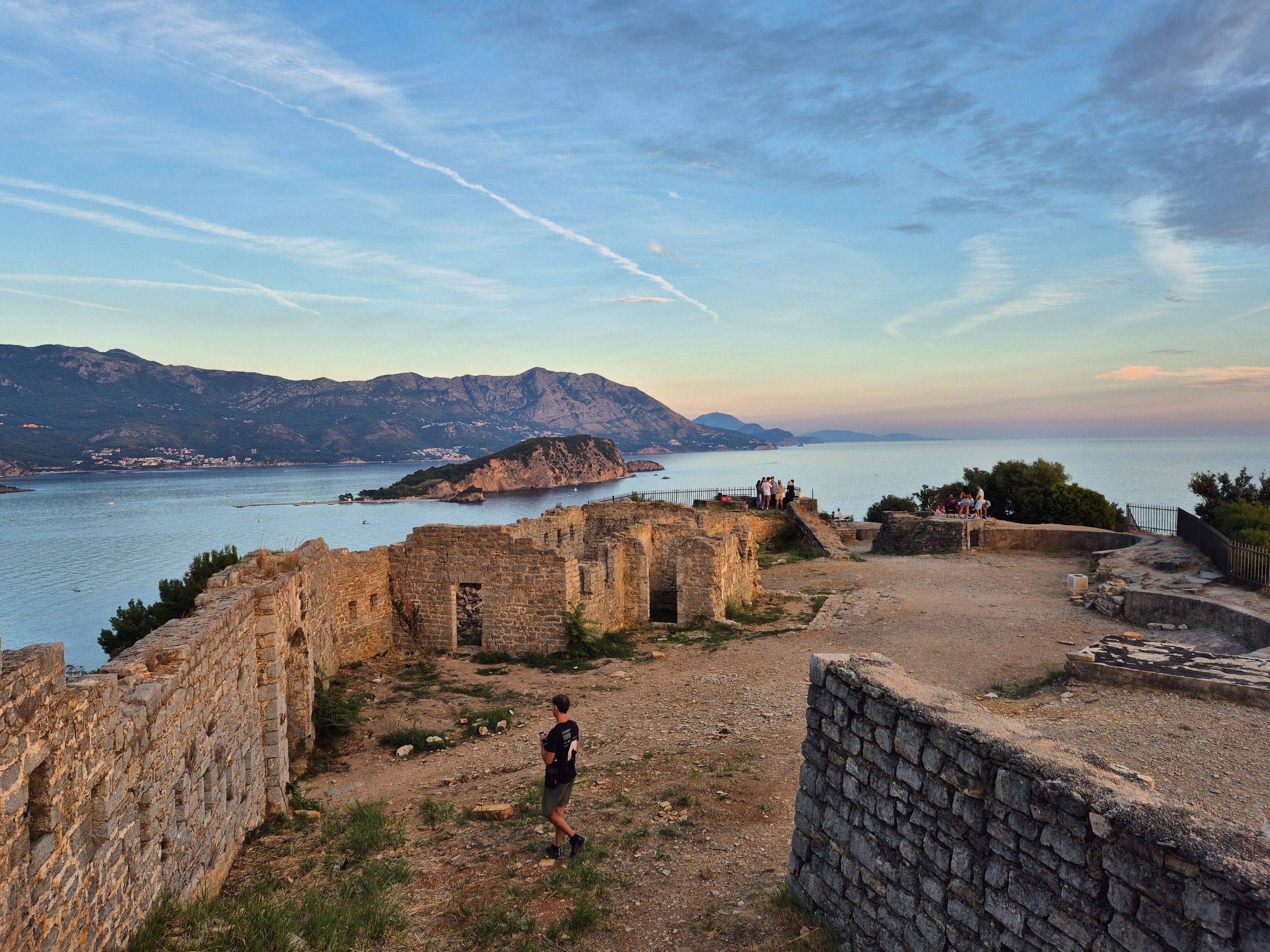
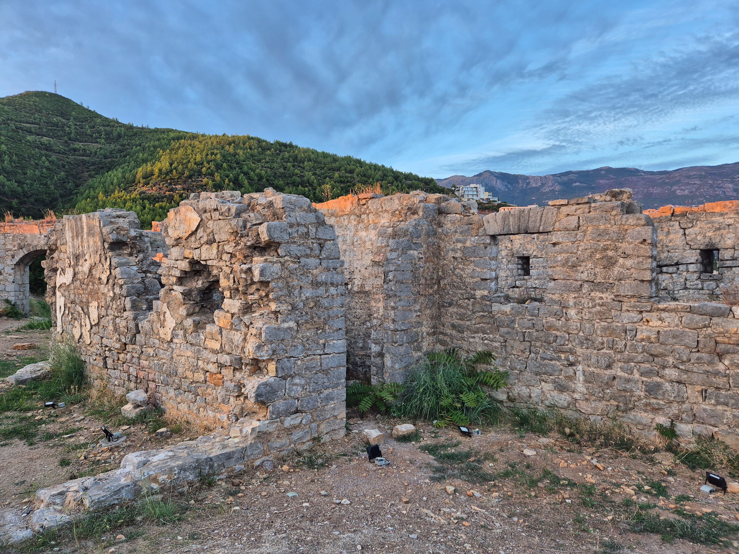
The fort was used during the Austro-Hungarian rule, to monitor the bay, as well as in World War I and II, and the damage that this fort suffered from shelling and the subsequent great earthquake (in 1979) was never repaired.
This claim, which has this board in front of it, is still waiting for the resolution of a decision of vital importance to it.
An ideal place for one #worldmappin sticker, which unfortunately I still don't have with me.
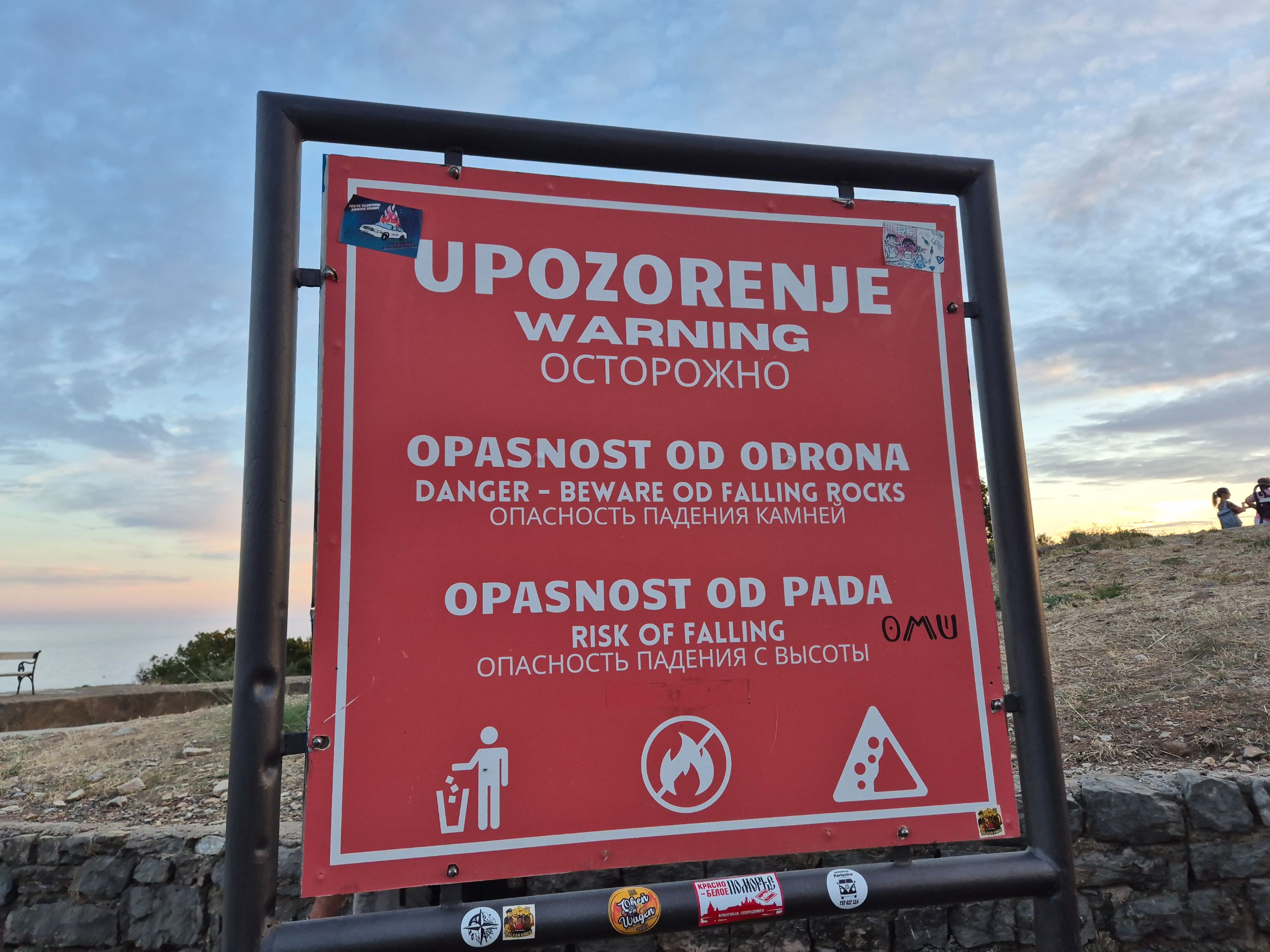
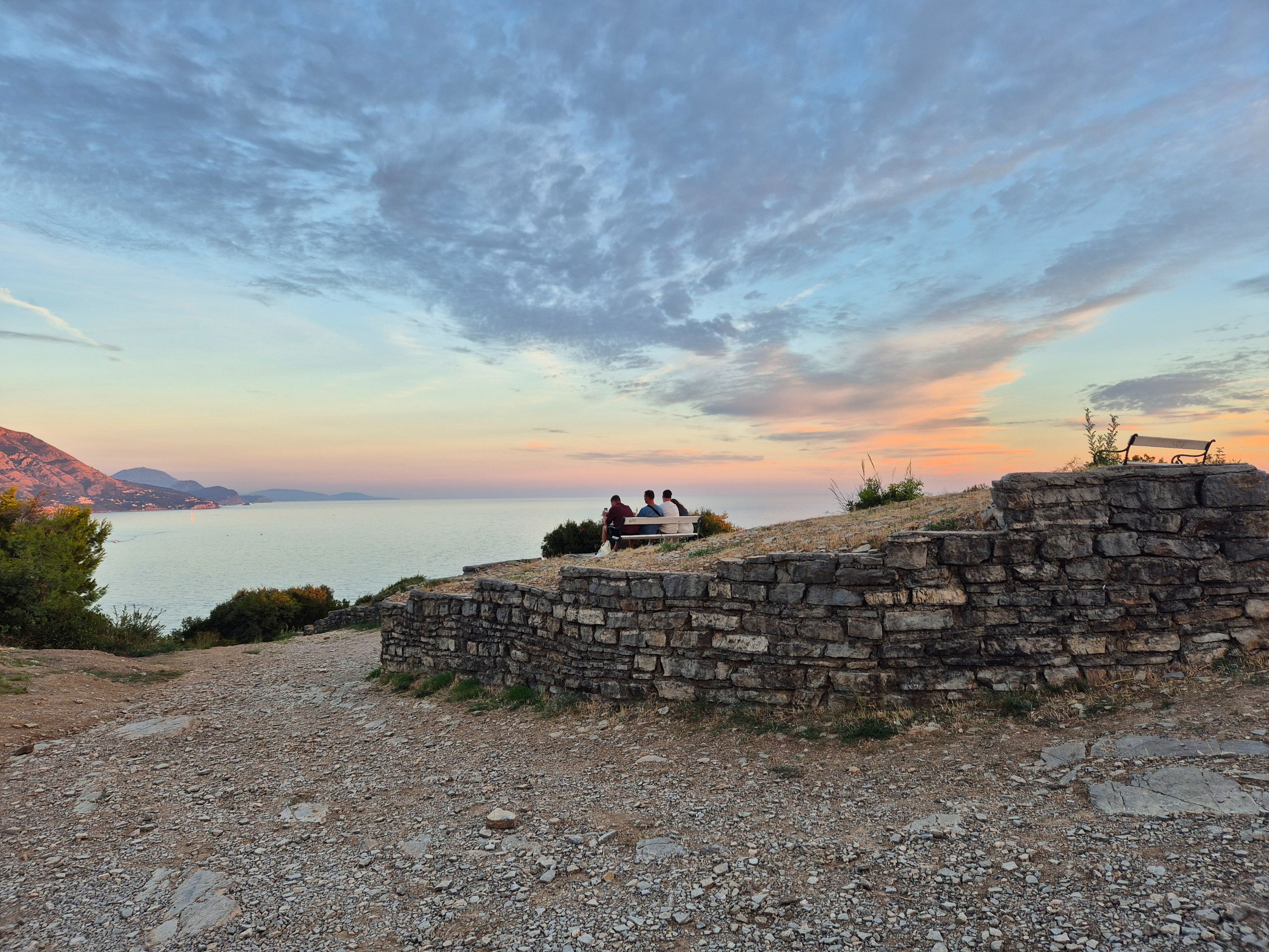
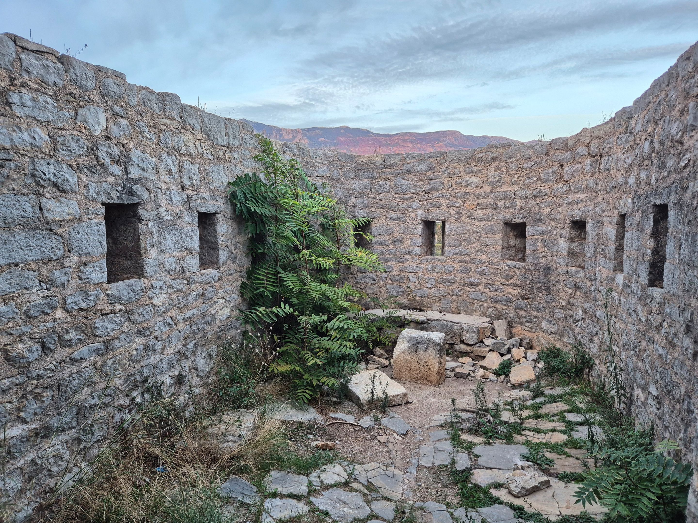
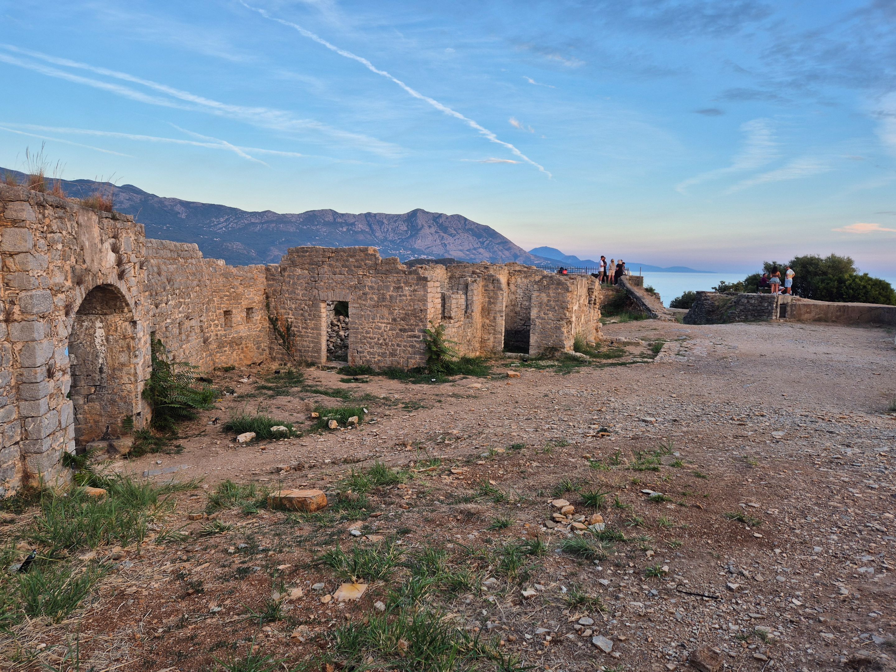
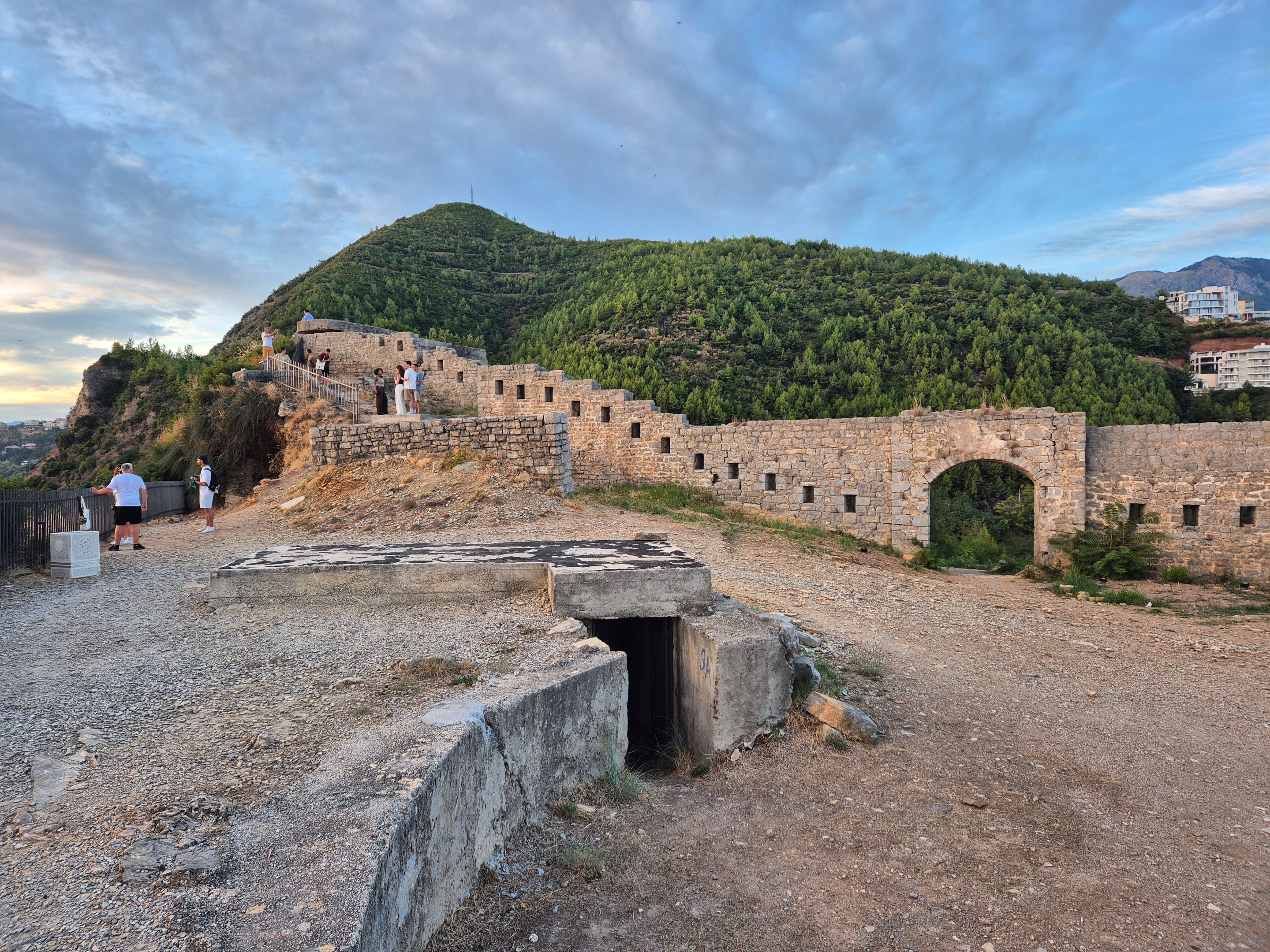
It is no safe to climb the walls of the fortress (as some of the visitors do who do not pay attention to the warning written on the board), it is risky even to walk on the uneven surface.
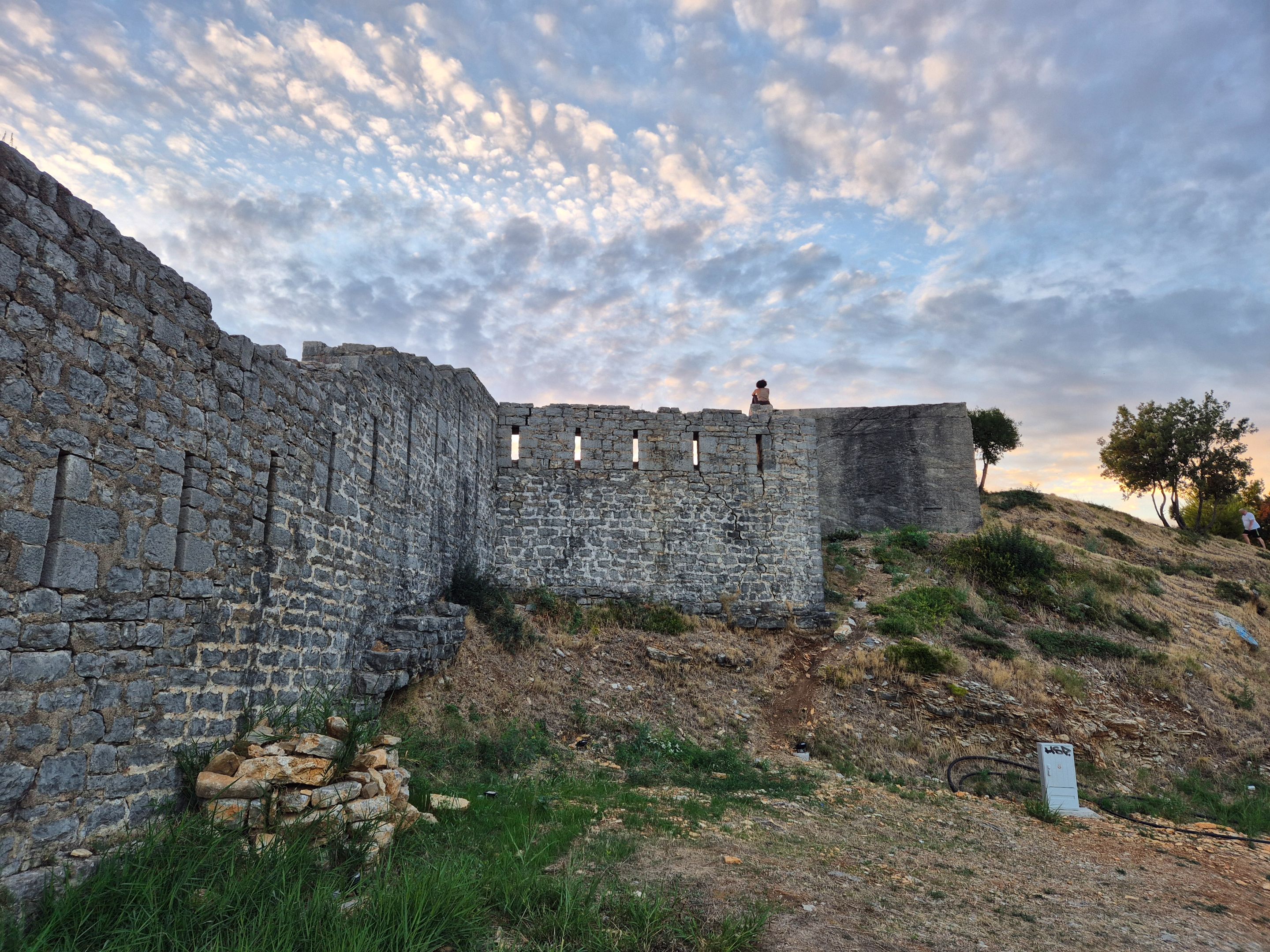
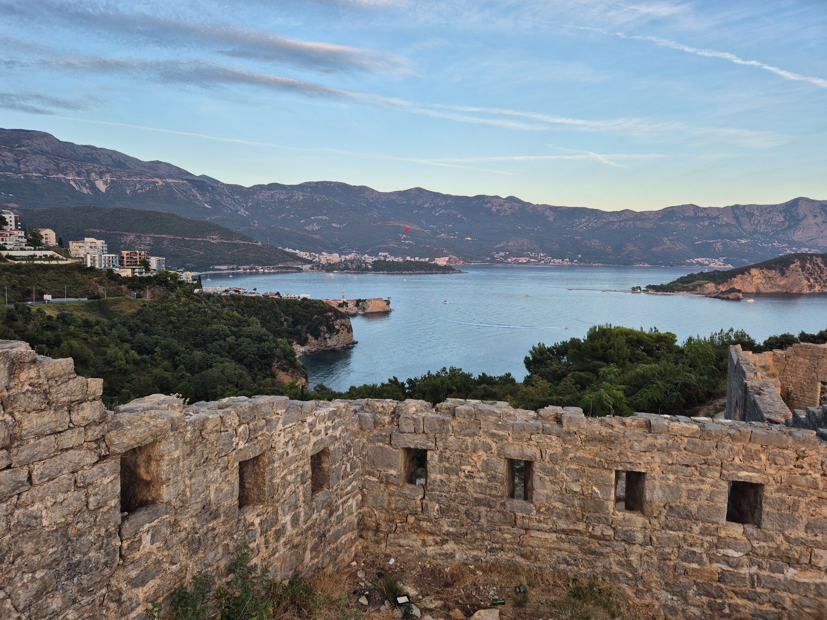
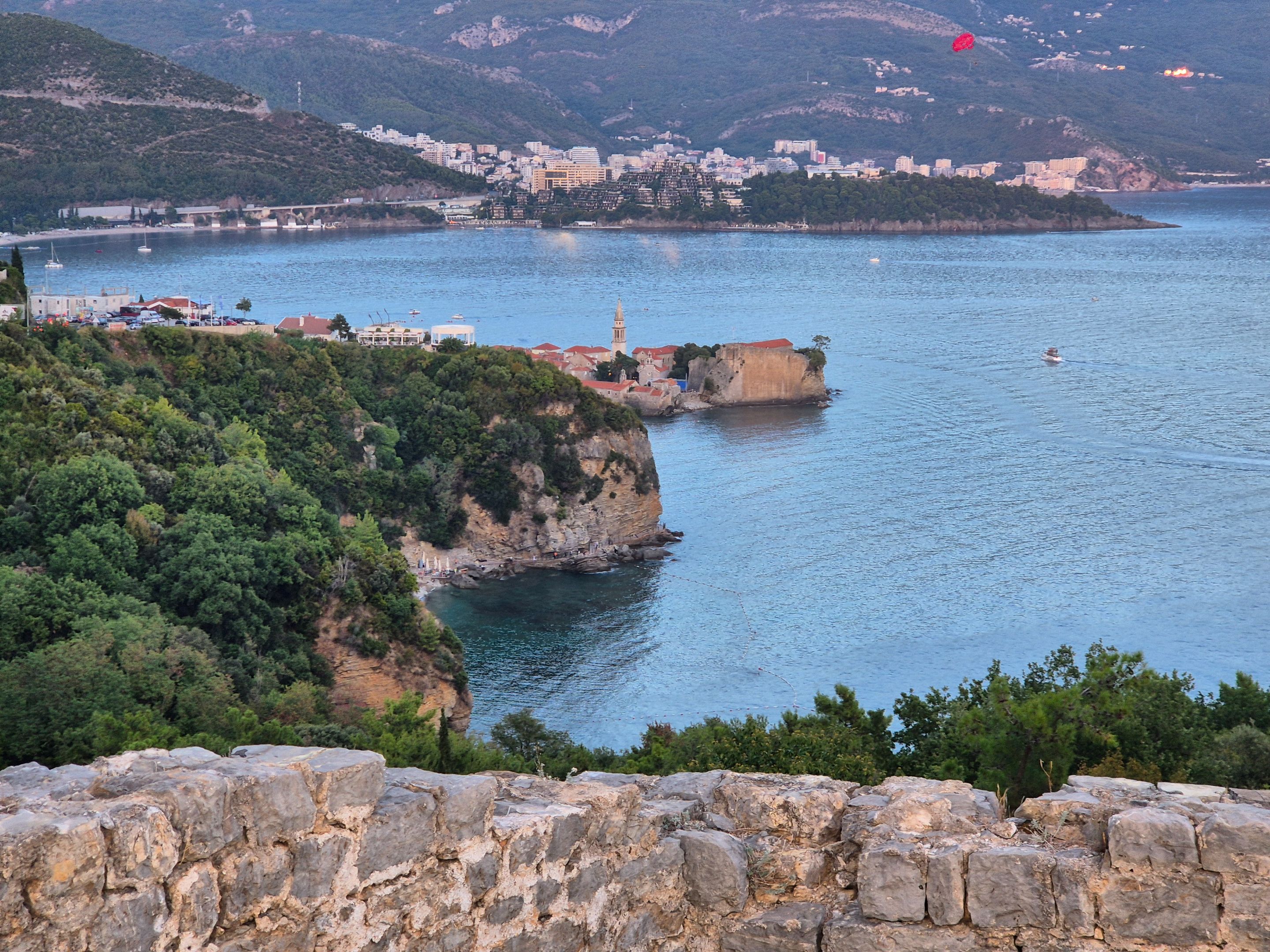
That is why it is safest to sit on one of the benches and enjoy the view of Budva bay on one side, Jaz beach on the other side, as well as the open sea.
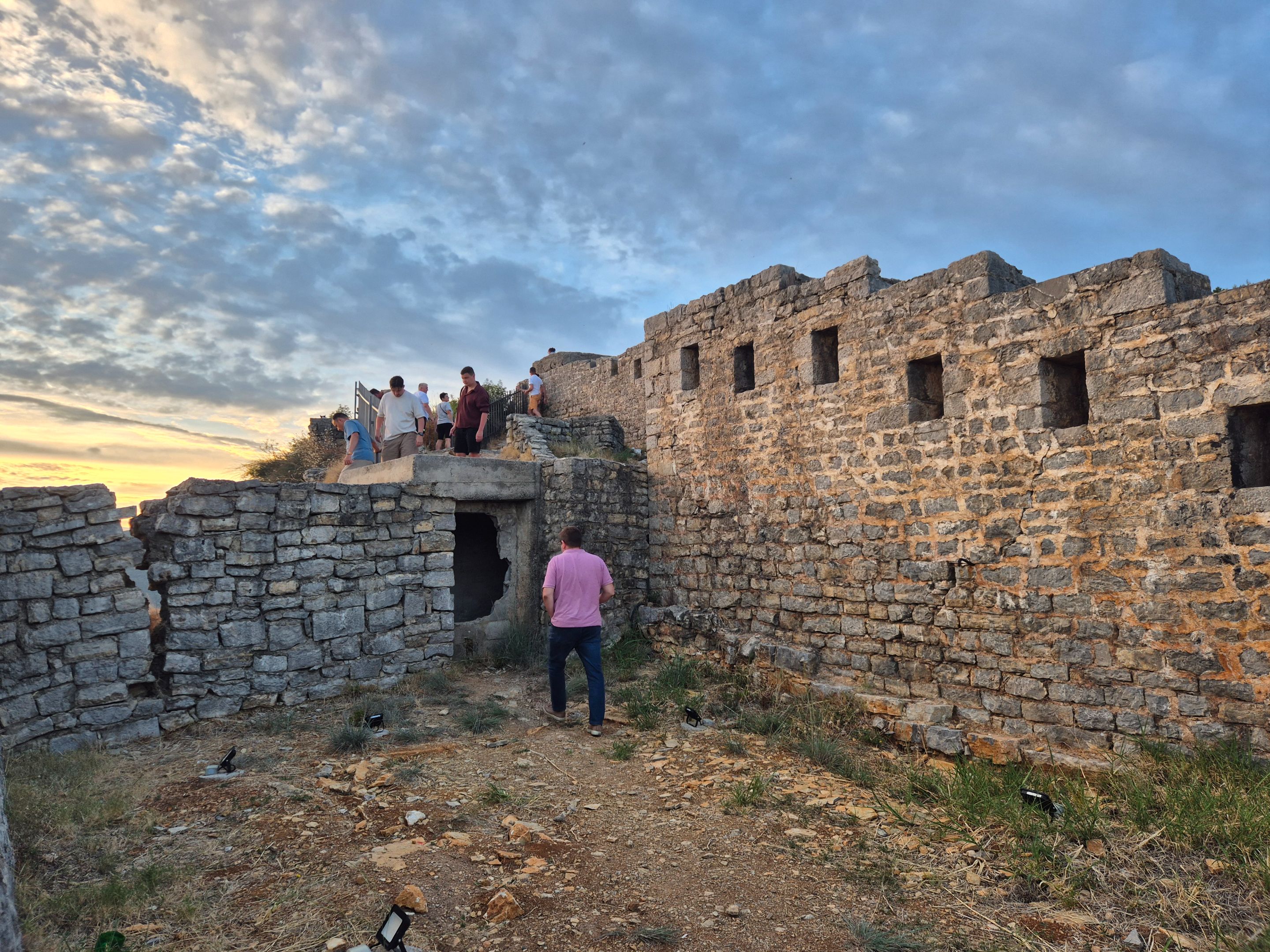
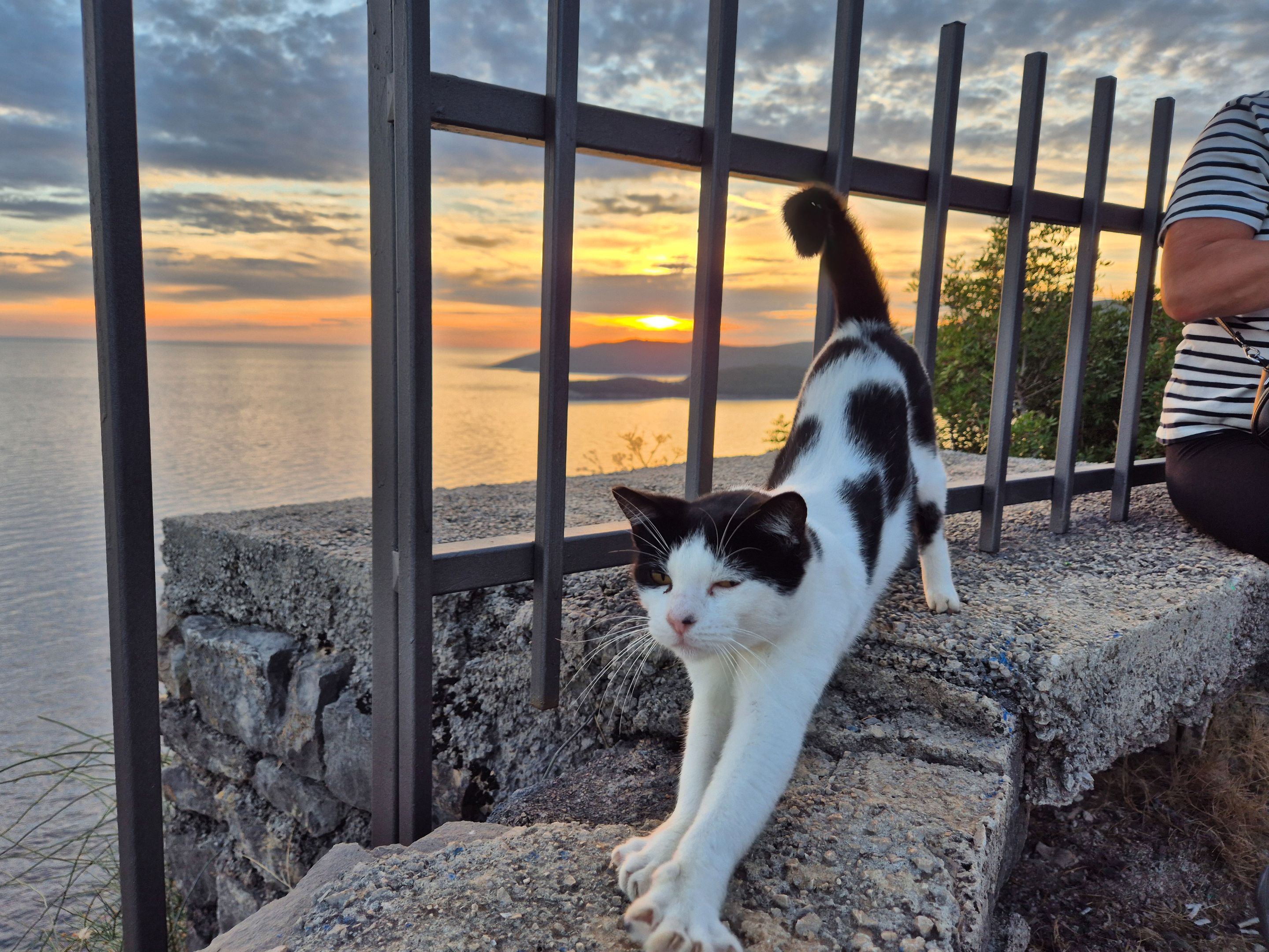
I still and this cute cat(despite the short break spent on the bench), had to explore the area a bit, before I started photograing the horizon for which the sun is setting. In the adventure of research, a colleague surprised me with a one photo(I'm the one in the pink shirt).
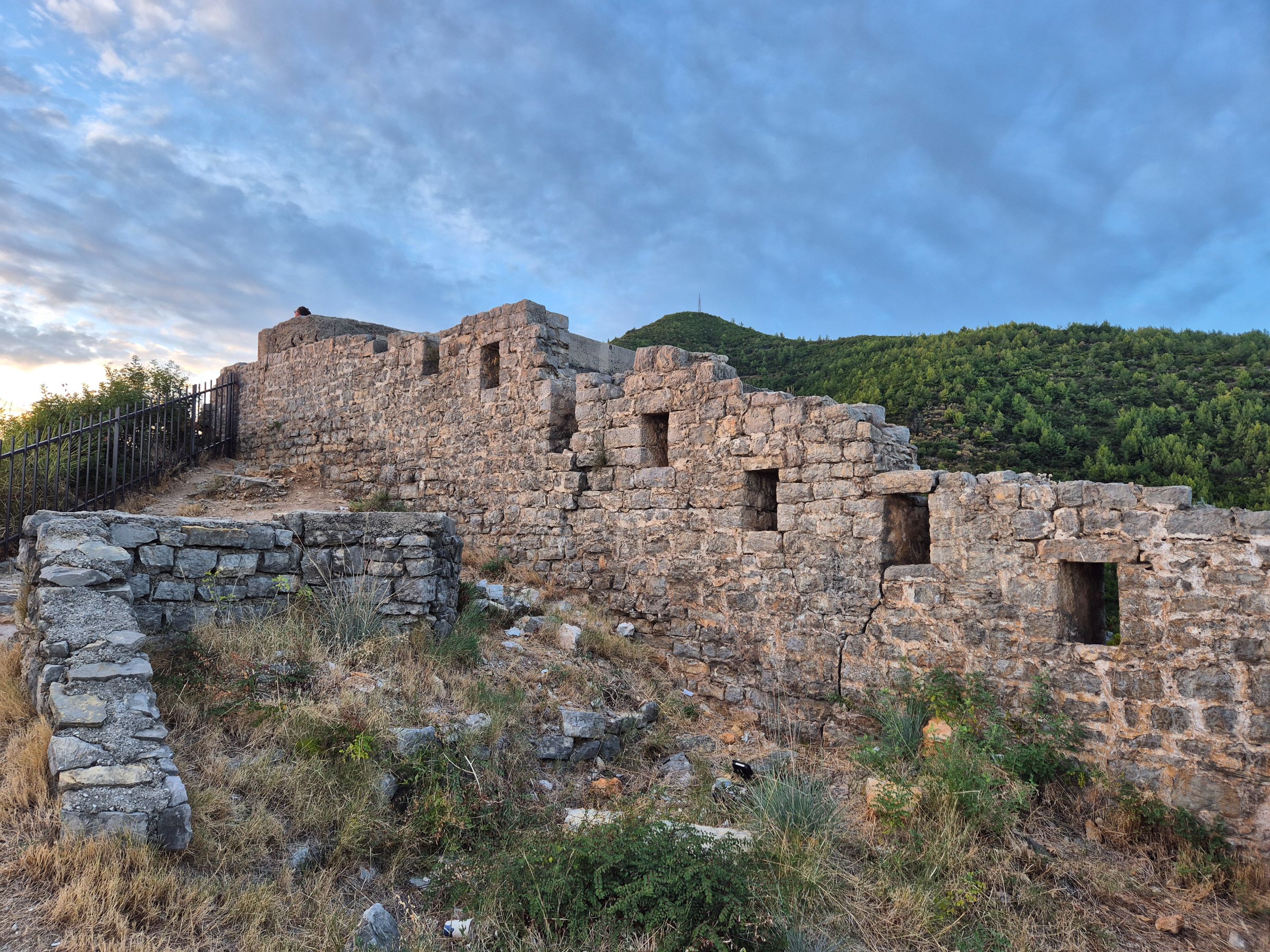
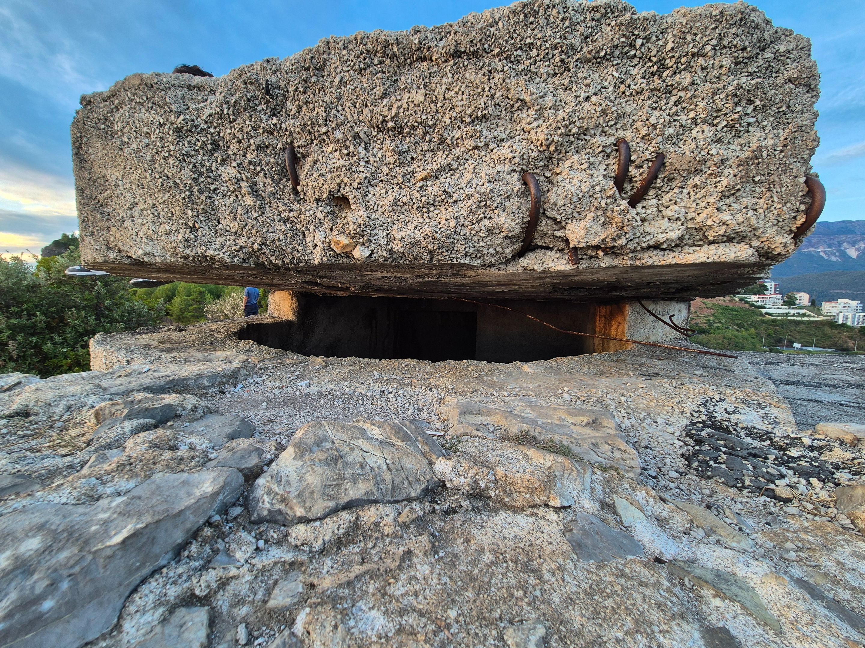
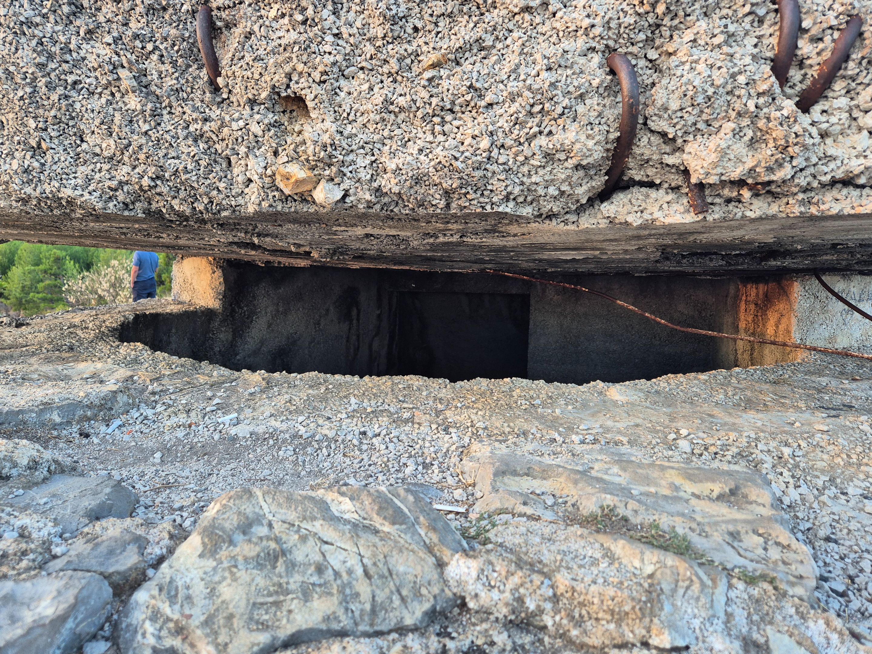
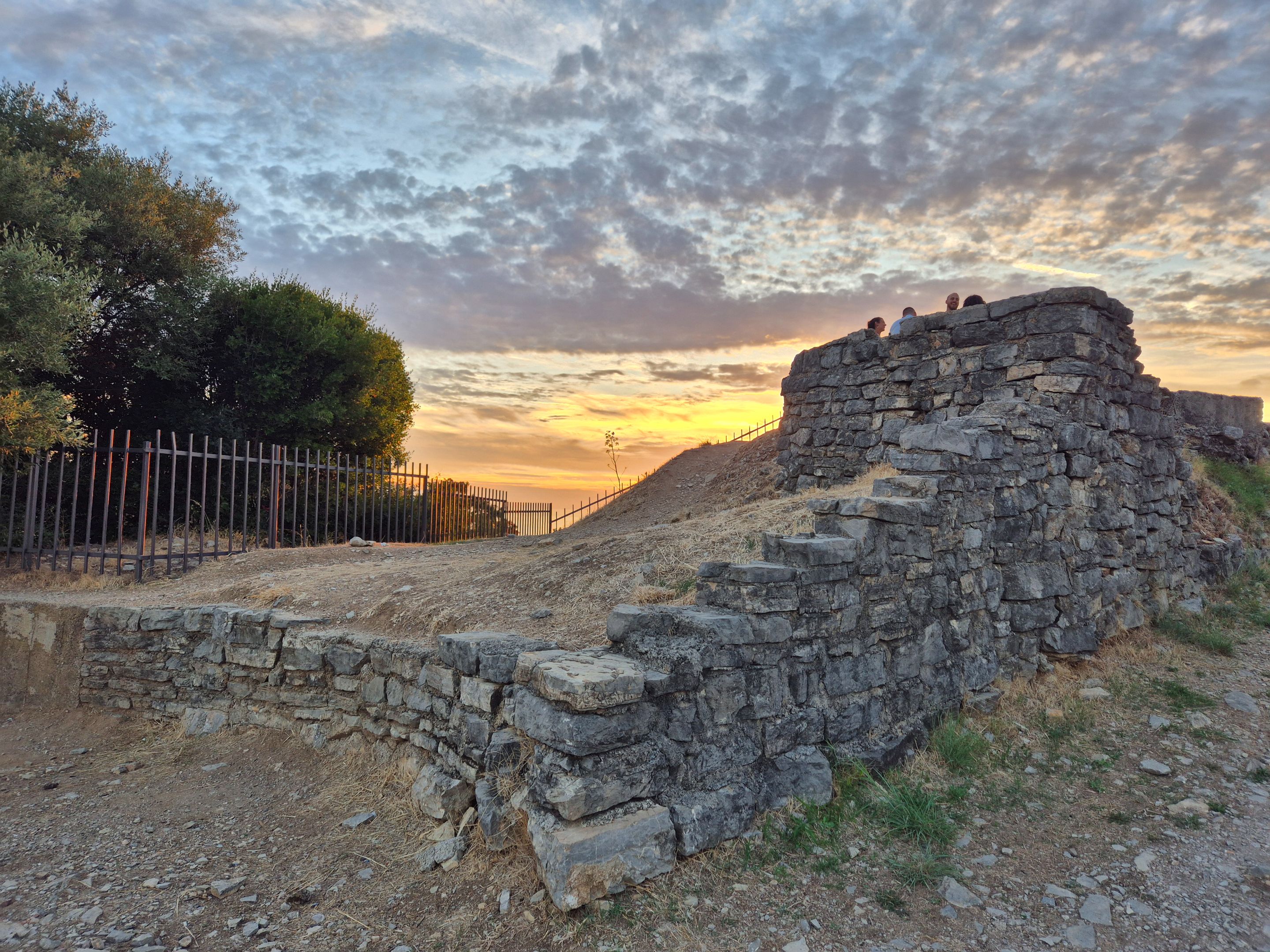
I found a bunker at the highest point of the fortification. According to the construction, I think it was made for the needs of World War II.
|||
|-|-|
| |
| |
|||
|
|||
Can you imagine what an advantage the army had that used this kind of bunker in the era of defending the city against sea attackers?
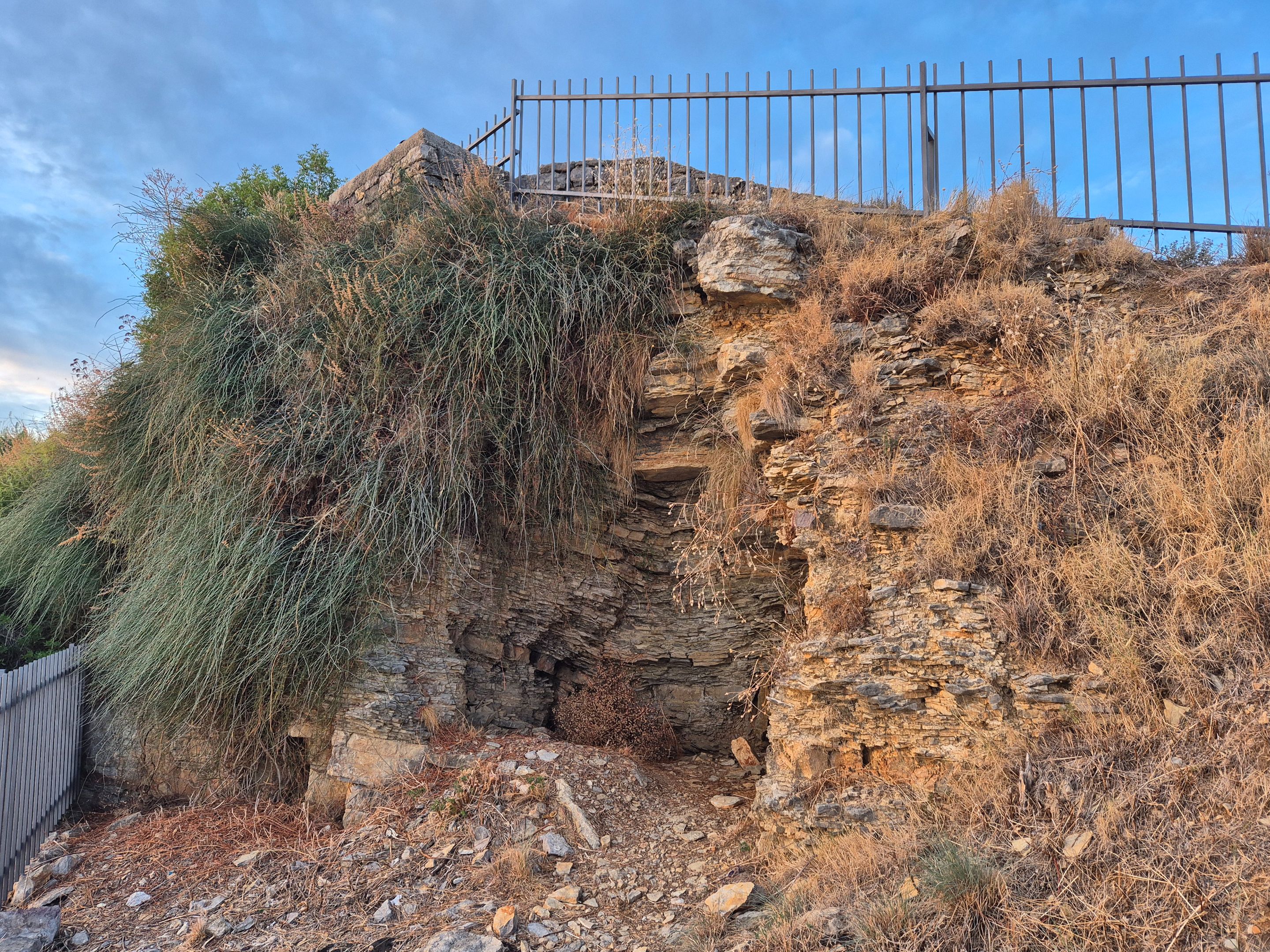
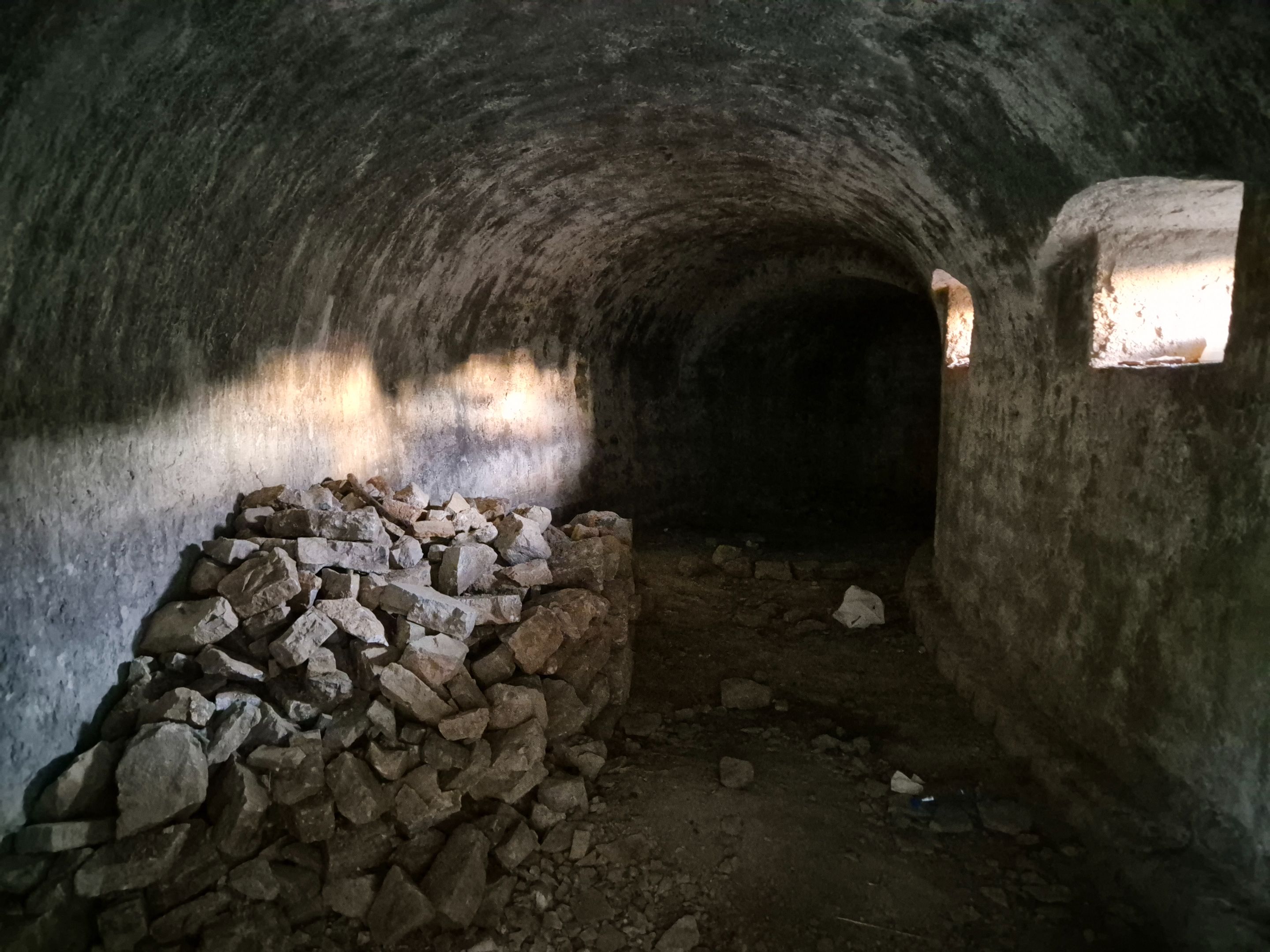
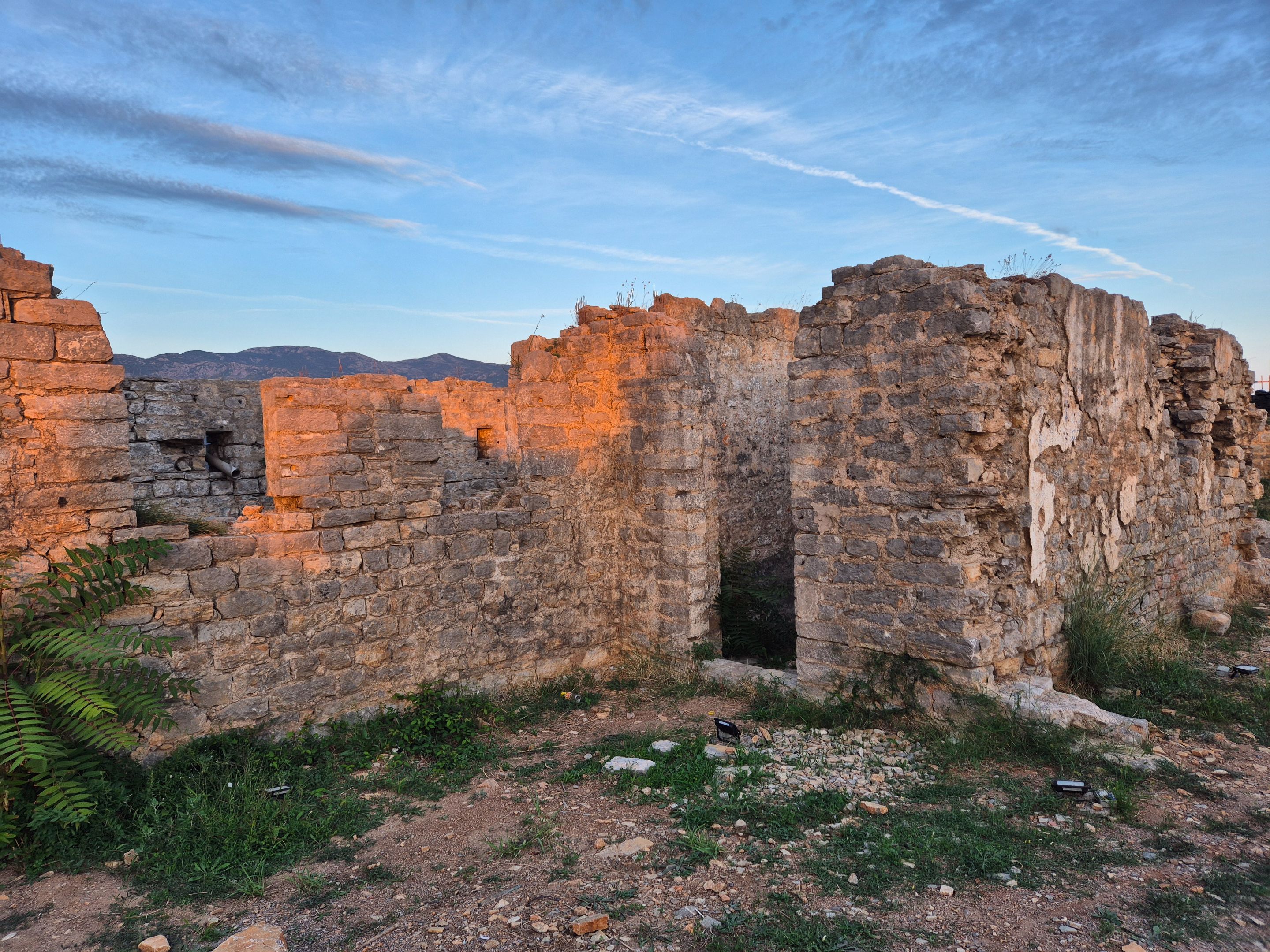
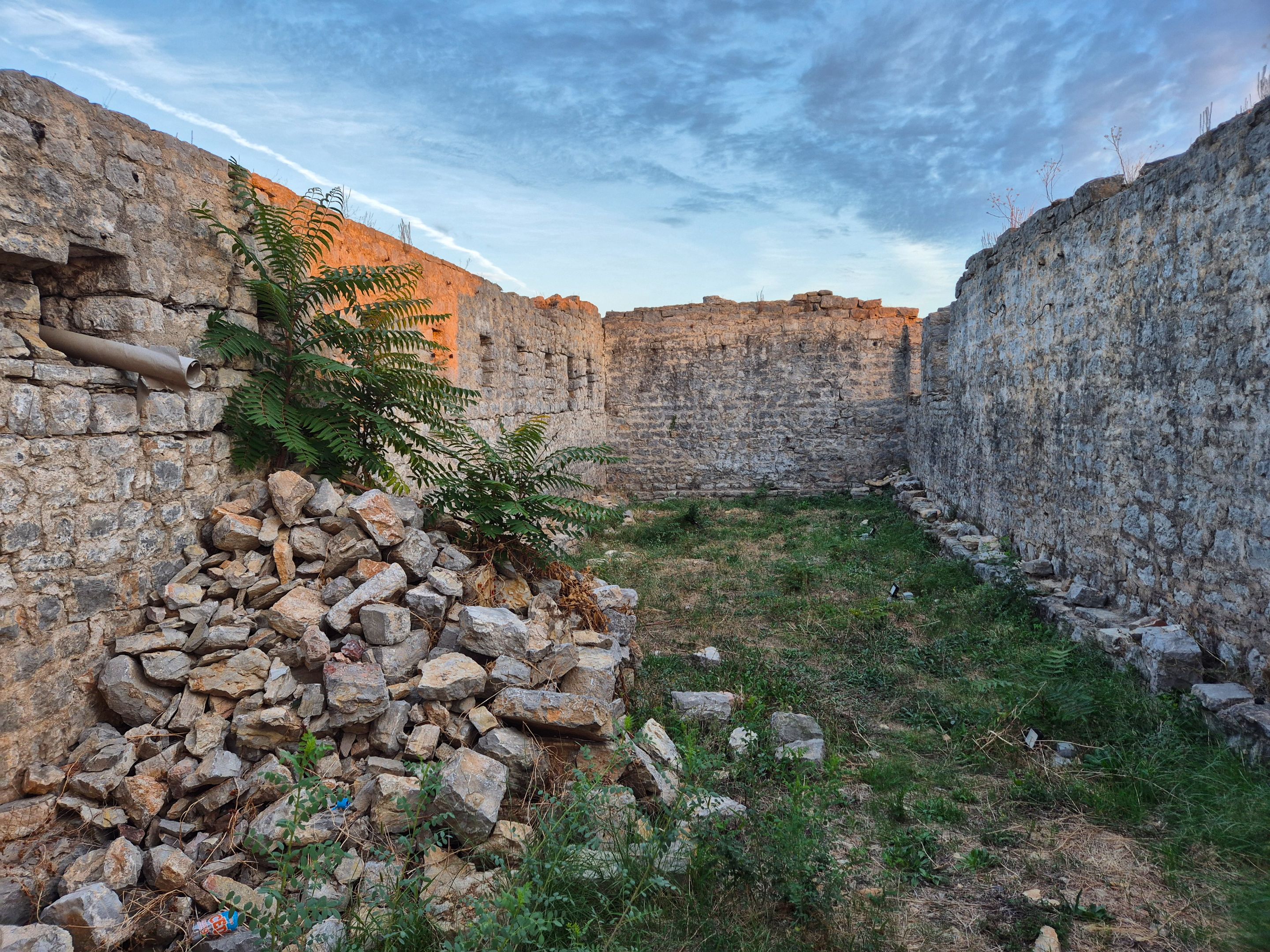
I also found one room, a warehouse, where ammunition was stored, as well as several niches with holes for rifles, which guarded the approach to the fortress.
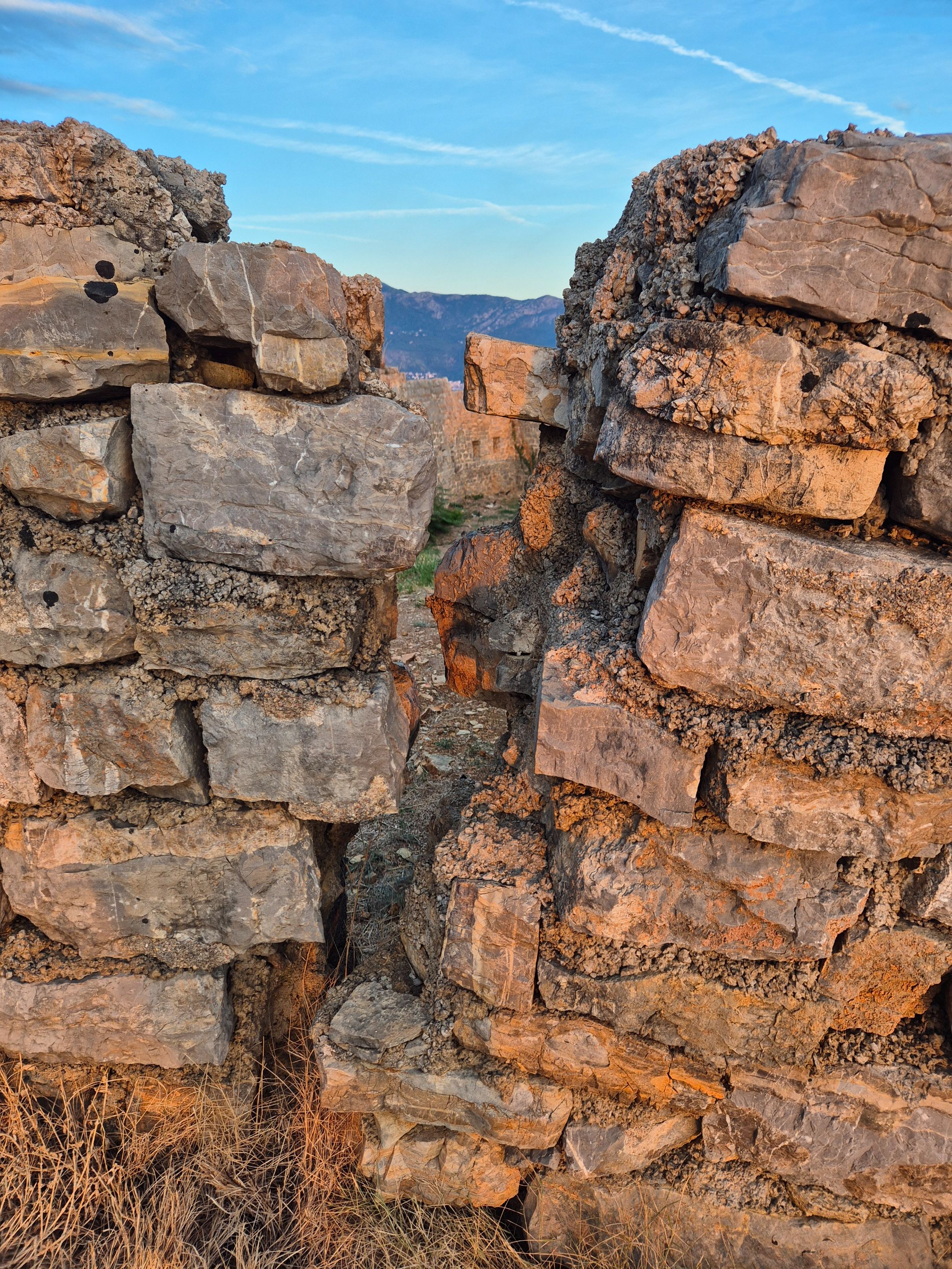
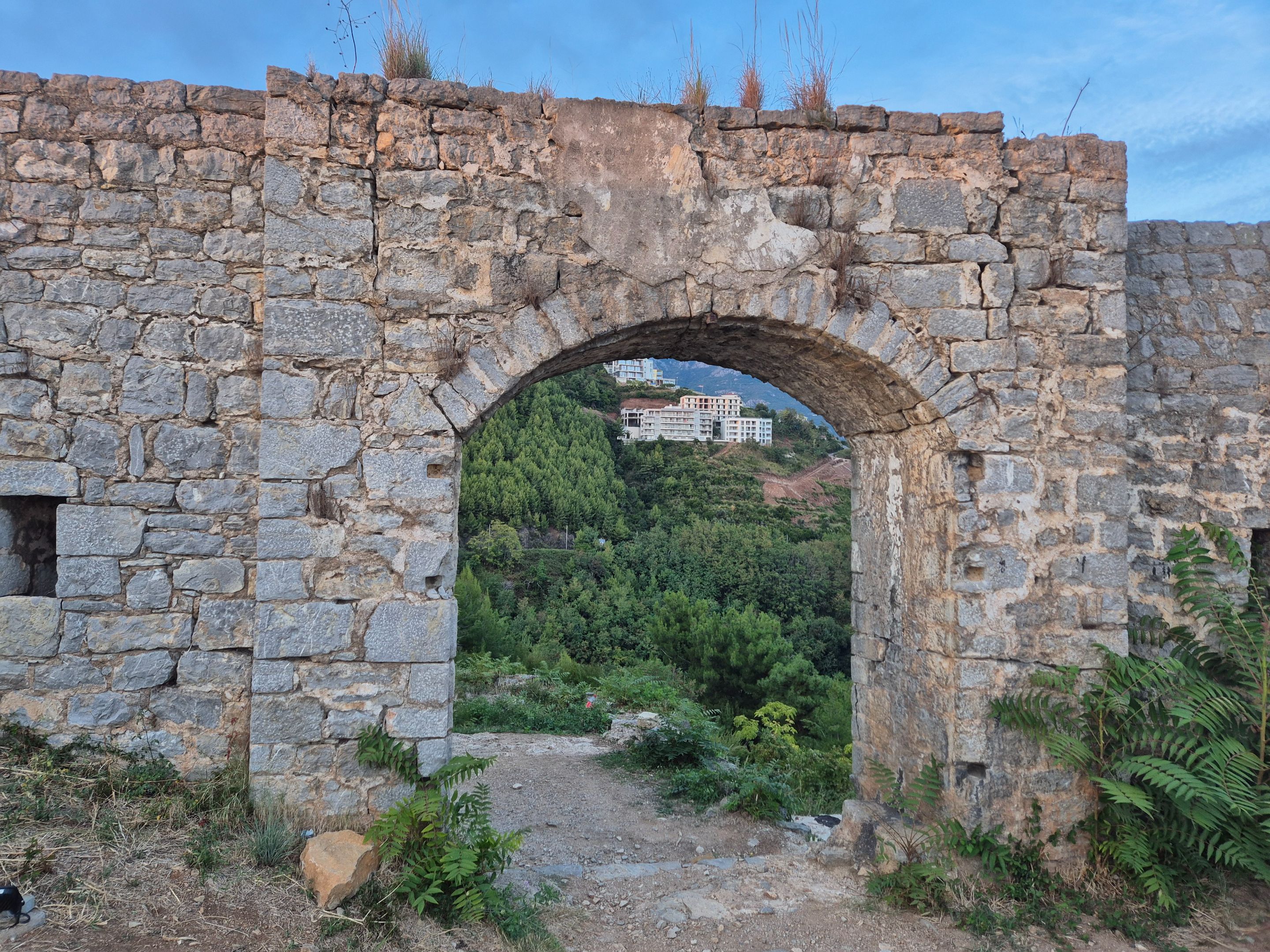
I went out through the gate of the fortress and visited the other side, from which the best-preserved part of the fortress, the outer wall, is located.
Here are some more photos of the interior of the fort.
 |
 |
 |
 |
 |
 |
 |
 |
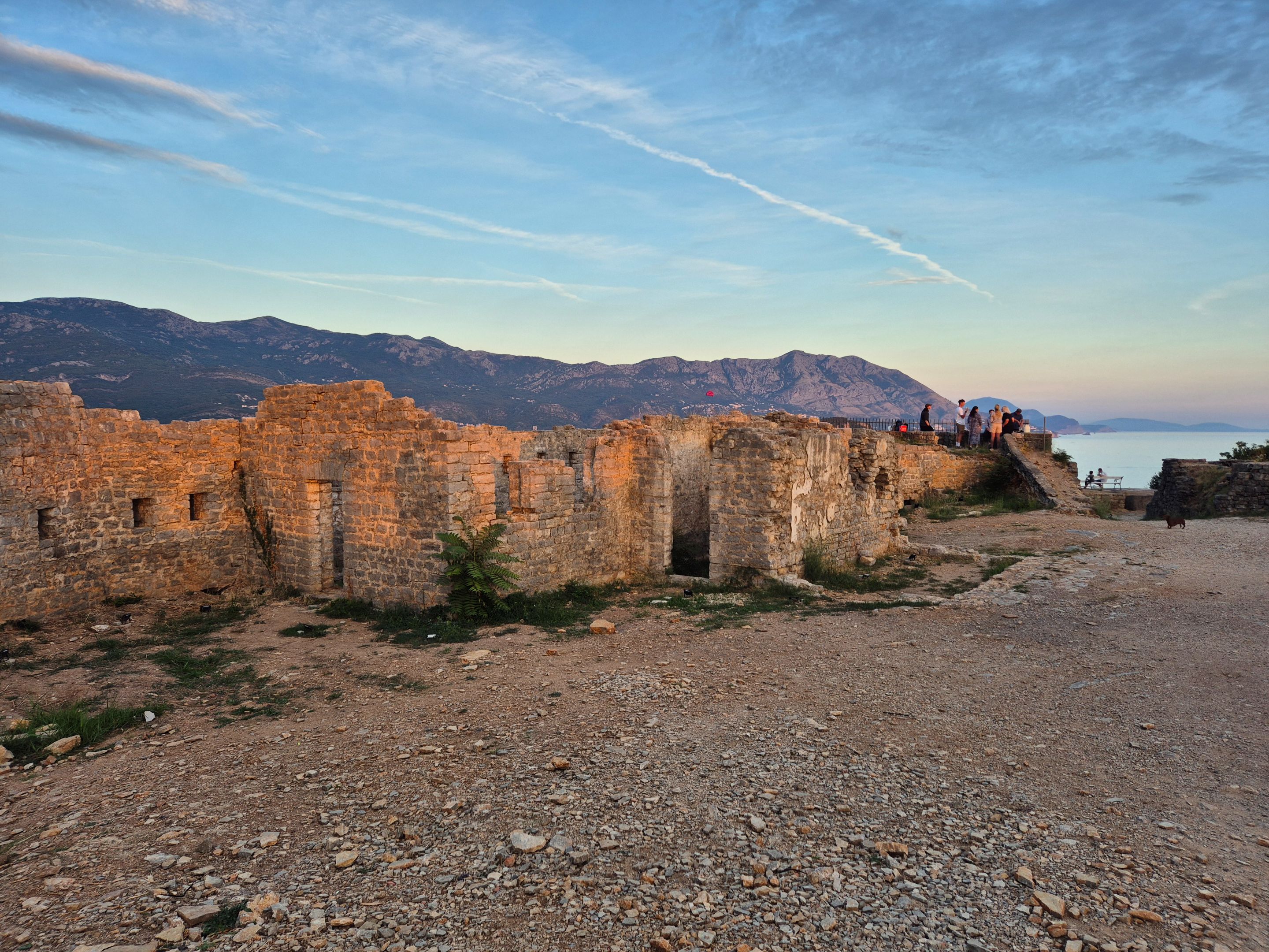
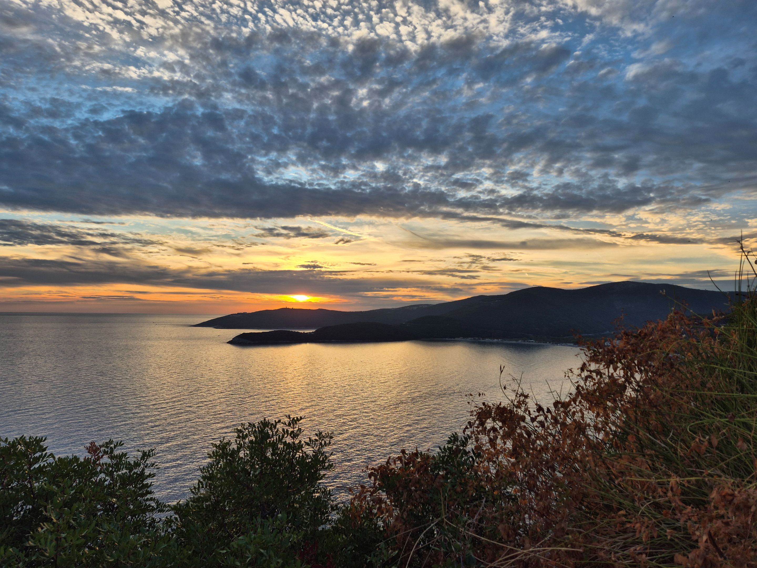
As the sun slowly descended from the horizon, from exploring the surroundings, I moved to the plateau, from where a fantastic view of the open sea and a beautiful sunset can be seen.
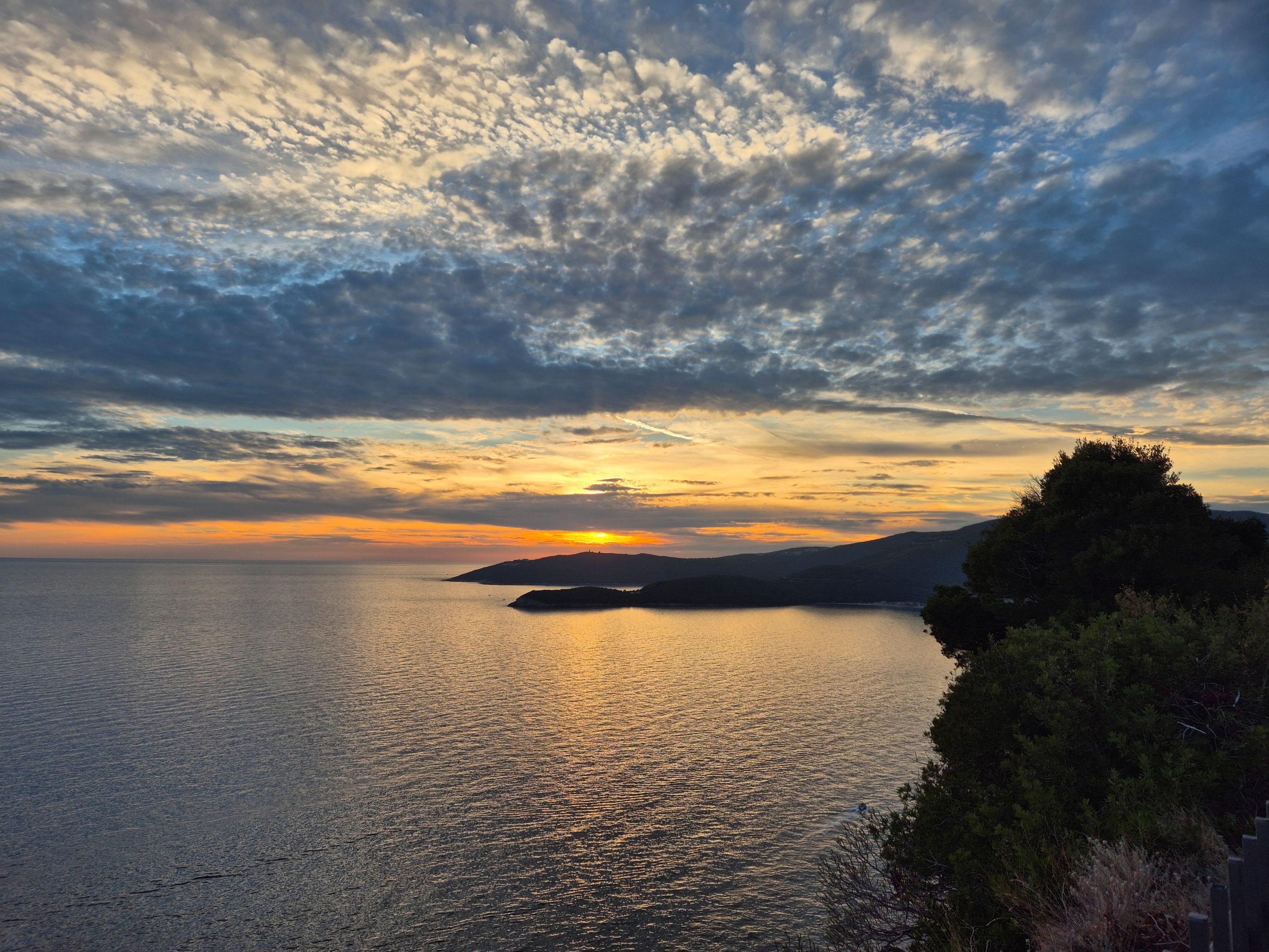
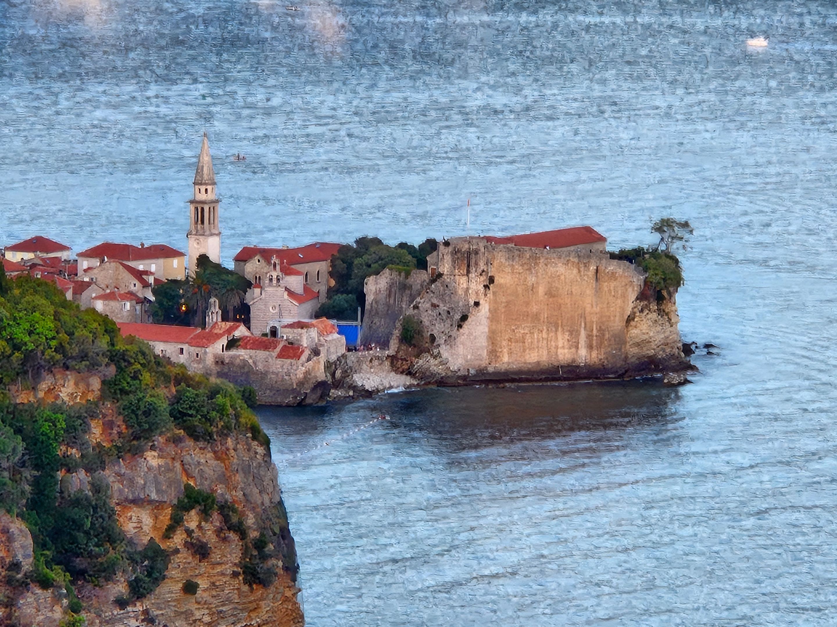
Opposite the west, on the other side of the fortress from the niche with space for gun, is the city of Budva, and the only visible part of the city, which in my opinion has some value, the Old Town, dominated by the bell tower
Church of Saint John the Baptist.
||||
|-|-|-|
| |
| |
| |
||||
|
||||
I thank @lauramica for the photos arranged like this, for explaining to me how to do it. From now on, there will be a lot of photos in some of my posts 🙂