___
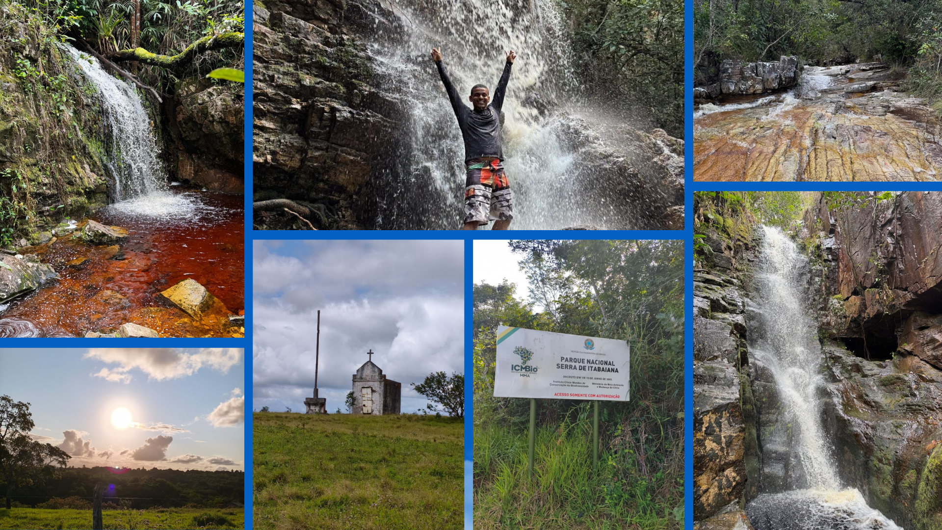
As I mentioned in some previous posts, this weekend, my wife and I went hiking in the city of Itabaina, in the state of Sergipe. This is the first time I've done this trail, but I've wanted to visit this place for a long time.
Itabaina is a city located about 56 km from the capital of Sergipe, Aracaju. Among the 75 cities in the state of Sergipe, after the capital Aracaju, Itabaina is certainly the richest city with the best quality of life.
Como mencionei em algumas postagens anteriores, neste final de semana, eu e minha esposa fizemos uma trilha na cidade de Itabaina, estado de Sergipe. Essa é a primeira vez que faço essa trilha, mas há muito tempo tinha vontade de conhecer esse lugar.
Itabaina é uma cidade que fica cerca de 56 Km da capital de Sergipe, Aracaju. Dentre as 75 cidades do estado sergipano, depois da capital Aracaju, Itabaina com certeza é a cidade mais rica e com a melhor qualidade de vida.
___
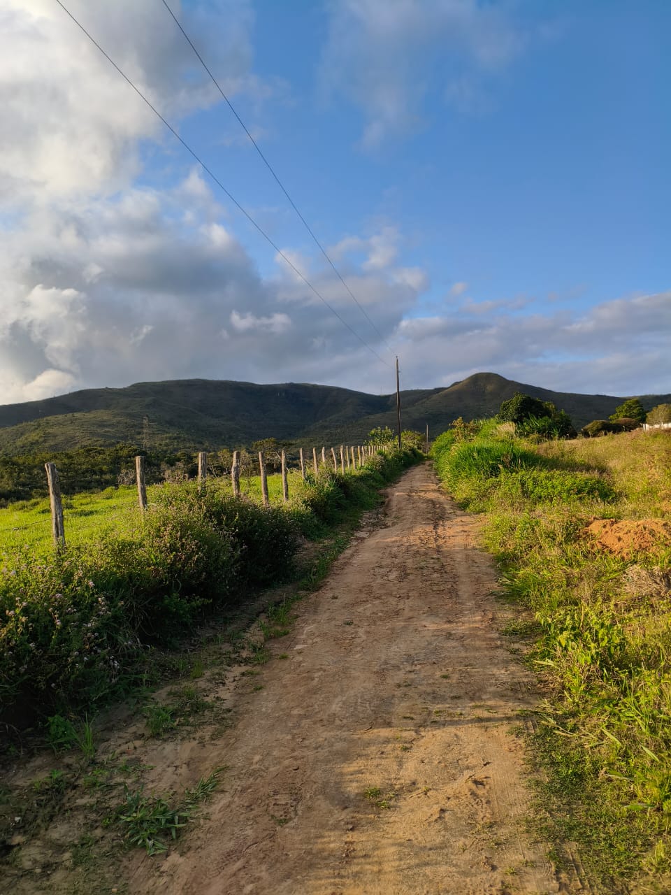
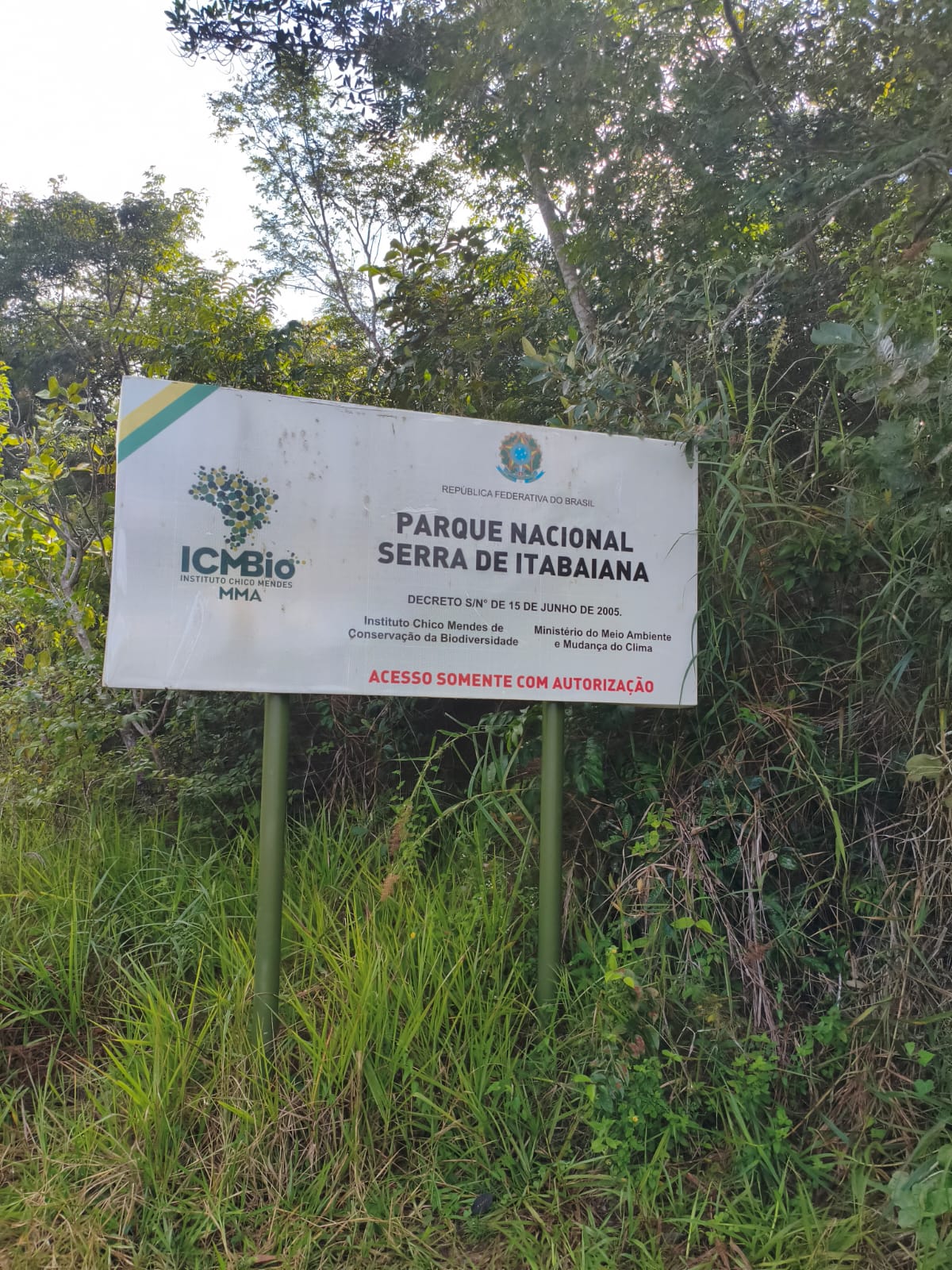
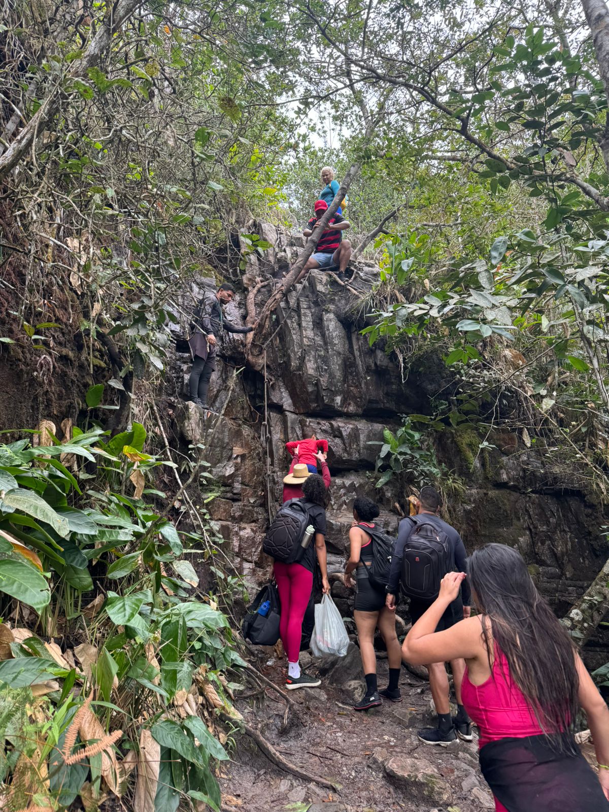
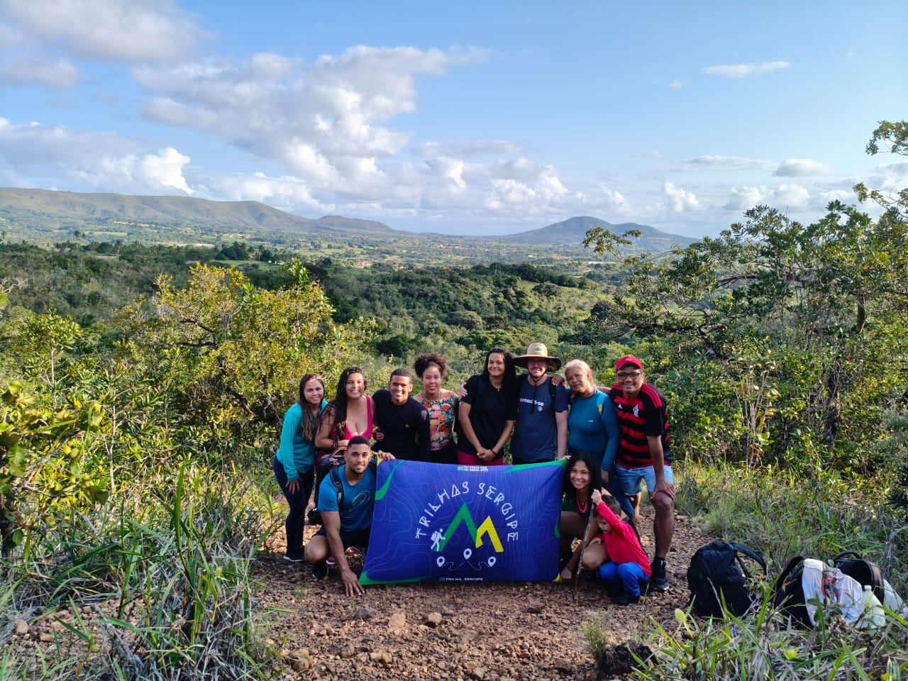
Nossa aventura começar em uma estrada de chão, antes da entrada da cidade de Itabaina. A poucos metros de caminhada nos deparamos com uma placa, que notificava que o acesso ao parque da Serra de Itabaina era somente permitido com pessoas autorizadas. No caso, estavamos em um pequeno grupo de dez pessoas acompanhados de um guia certificado.
Our adventure began on a dirt road, before the entrance to the city of Itabaina. A few meters into our walk, we came across a sign that said access to the Serra de Itabaina park was only allowed to authorized persons. In this case, we were a small group of ten people accompanied by a certified guide.
___
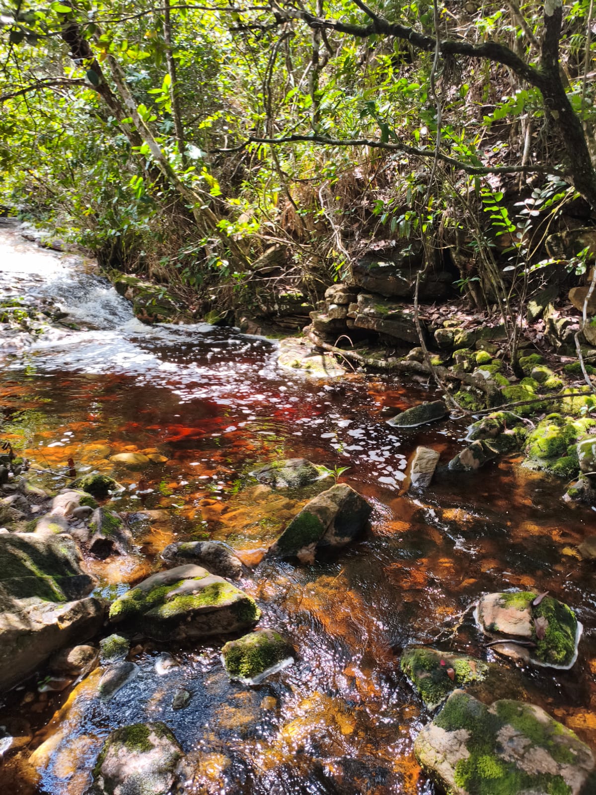
The route covered a distance of approximately 11 km, there and back. On the way there, the route is all uphill, so the return trip is all downhill, with an elevation of approximately 408 meters. The Itabaiana mountain range is the second highest point in the state of Sergipe. Considered a challenging, intermediate-level route, it took us an average of 8 hours to complete the route, as we stopped at several waterfalls to rest and enjoy the waterfalls.
O trajeto contou com um percuso de cerca de 11 Km, de ida e de volta. Na ida o percurso é somente subida, então a volta é somente descida, são cerca de 408 metros de elevação. A serra de itabaiana é o segundo ponto mais alto do Estado de Sergipe. Considerado um percurso desafiador, de nível intermediário, levamos em média 8 horas para concluir o percurso, pois paramos em várias cachoeiras para descansar e aproveitar as quedas d'água das cachoeiras.
___
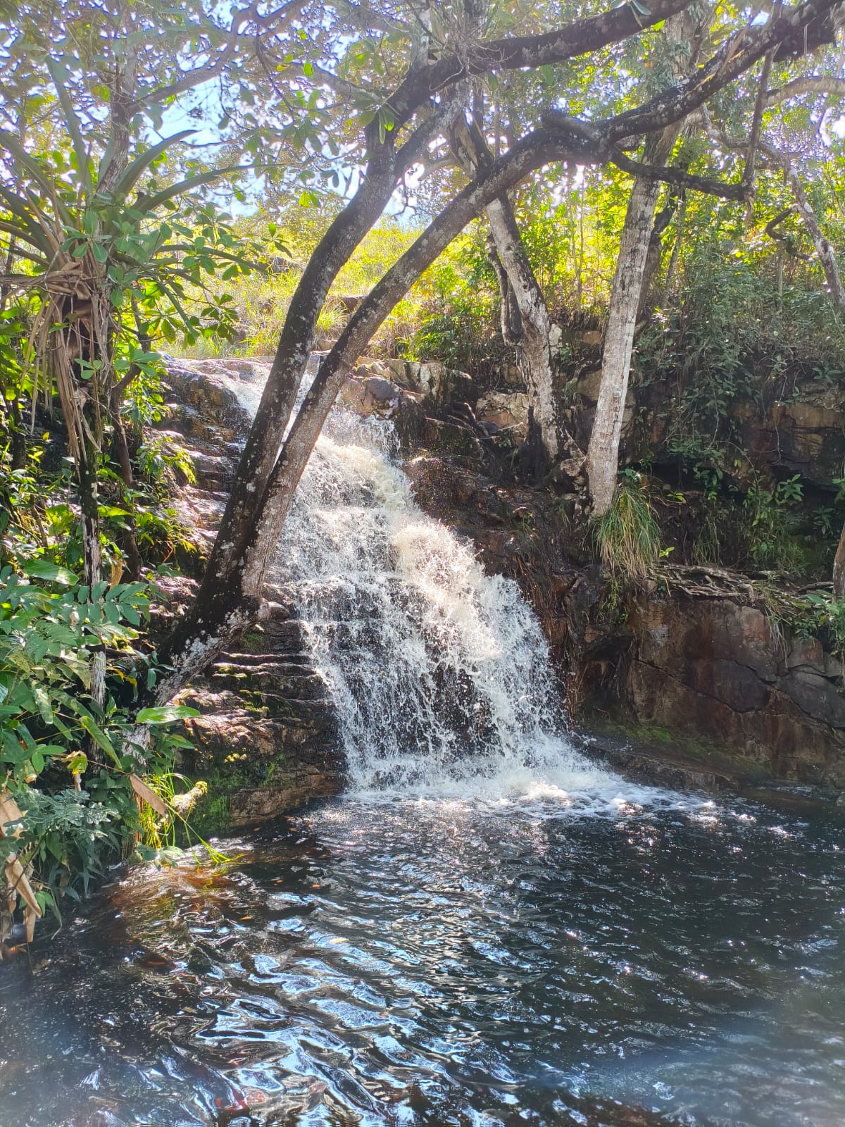
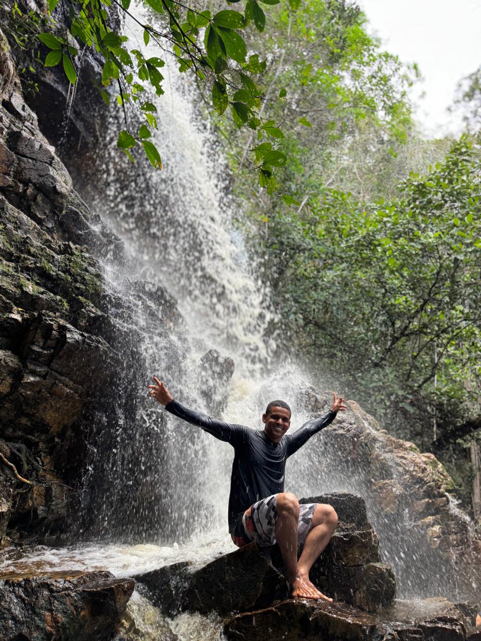
Secondly, according to the guide, the best time to hike the trail and enjoy the waterfalls is during the rainy season, which begins in April and ends in August, but this year the rains lasted longer and we were still able to enjoy the waterfalls. In the image above, we see the second waterfall on the trail, called Cachoeira Poço da Serra. This is undoubtedly the best waterfall for taking a refreshing dip.
Segundo, o guia o melhor periodo para fazer a trilha e aproveitar as cachoeiras é no periodo de chuvas, que começa em abril e termina em agosto, mas esse ano as chuvas se estenderam e conseguimos ainda aproveitar bastante as cachoeiras. Na Imagem acima temos a segunda cachoeira do trajeto, que é chamada de Cachoeira Poço da Serra. Essa sem dúvida é a melhor cachoeira para tomar aquele banho refrescante.
___
___
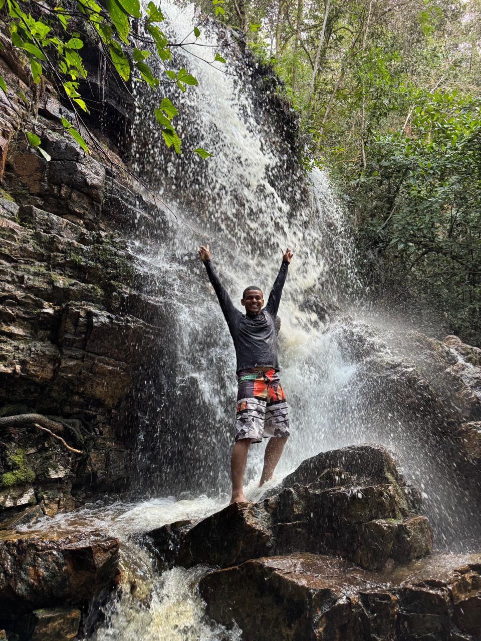
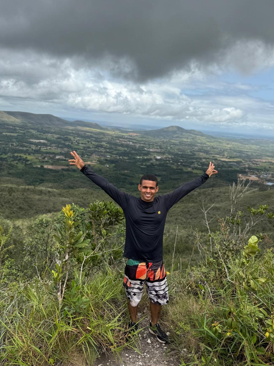
This was one of the best trails I have ever done, because at each stop we took the opportunity to enjoy the waterfalls or observe the nature around us. And to see how high we were getting in relation to the view of the whole city around us. Our route focused on the waterfalls, but there are other trails, which can even be done by cyclists, winding through the mountains.
Essa foi uma das melhores trilhas que já fiz, pois a cada parada aproveitavamos o momentos para aproveitar as cachoeiras ou então observar a natureza a nossa volta. E ver o quão alto iamos ficando em relação a vista de toda cidade a nosso redor. Nosso percurso foi focado nas cachoeiras, mas existem outras trilhas, que podem inclusive ser feita por ciclistas, contonando a serra.
---
---
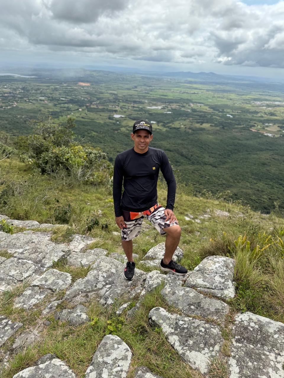
The highest point of the mountain range is near the Serra de Itabaina viewpoint. This is an excellent spot for taking photos, as it offers an unobstructed view of the city of Itabaina. There are several telecommunications towers at this point, as it is the highest point in the city and should be used to its full potential.
O ponto mais alto da serra fica próximo ao Mirante da Serra de Itabaina. Neste local é excelente para tirar várias fotos, pois temos uma vista aberta para cidade de Itabaina. Nesse ponto temos várias torres de telecomunicações, afinal é ponto mais alto da cidade e deve ser aproveitado da melhor forma.
---
---
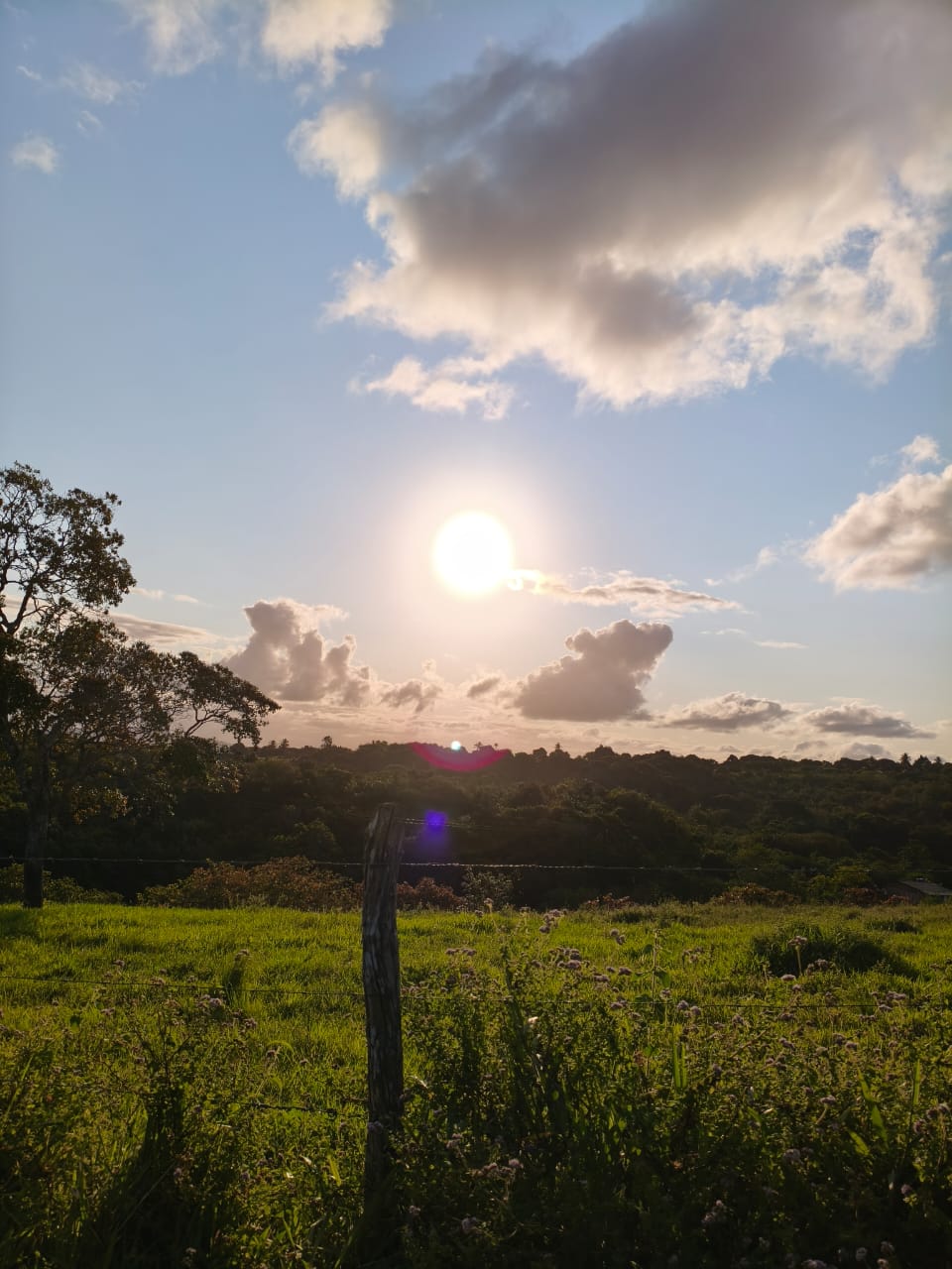
At the end of the trail, around 5 pm, the sun was already setting. The driver was waiting for us at the beginning of the trail to take us home. It was a very rewarding hike, and it was all made possible thanks to the company [Trilhas de Sergipe](https://www.instagram.com/trilha_sergipe/), which guided us through this adventure in the best possible way. I hope you enjoyed it!
Ao final do trajeto, já beirando as 17 horas o sol já estava perto de se pôr. E o motorista nos aguardava no começo do caminho para nos levar para casa. Foi uma trilha muito proveitosa e tudo isso só foi possível graças a empresa [Trilhas de Sergipe](https://www.instagram.com/trilha_sergipe/), que nos conduziu da melhor forma nessa aventura. Espero que tenha gostado!
---
Images: Personal File
[](https://discord.gg/zYcJfq7tdQ)
[//]:# (!worldmappin -10.73774 lat -37.35450 long d3scr)
Posted Using INLEO