"March 20th".
That's the date I look forward to every year with great anticipation. It depends on the country and region, but in the north of France, it's the date from which we really start to feel alive again:
- The nights are shorter;
- We can wear T-shirts;
- The landscapes start to turn green;
- We hear the sound of lawnmowers;
- Pollinating insects buzz in our ears;
- ...
This year, I wanted to celebrate with a longer walk than those I can usually take. I found this one on the Internet, downloaded the ".gpx" file, and imported it into my brand-new hiking app GPX Viewer Pro (7 EUR on the PlayStore).
Yes, I wanted to invest in a hiking app, and this one is really well made.
Here is the route:
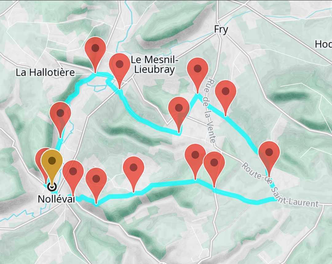
A little over 15km of walking/hiking starting from the small village of Nolléval in Normandy. As you can see on the map of the route, there's a bit of elevation. Nothing too severe, just some simple hills, but still a +250 meter elevation gain.
Once again, nothing too impressive. But it's mainly because the positive elevation was concentrated on a very short section of the walk, so it was an intense climb. The same goes for the descent.
My partner and I worked until 2 am on our freelance missions so we could take this walk the next day and not be overloaded with work after the walk. This is important for what follows.
Now, onto the hike!
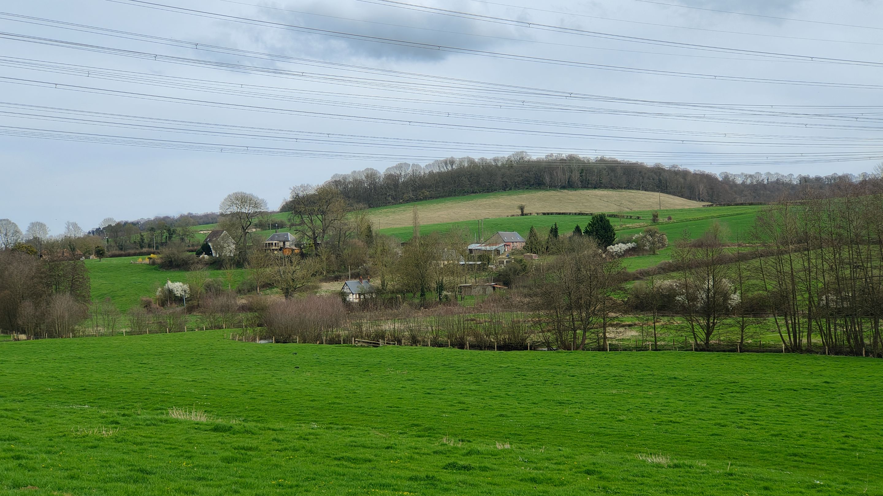
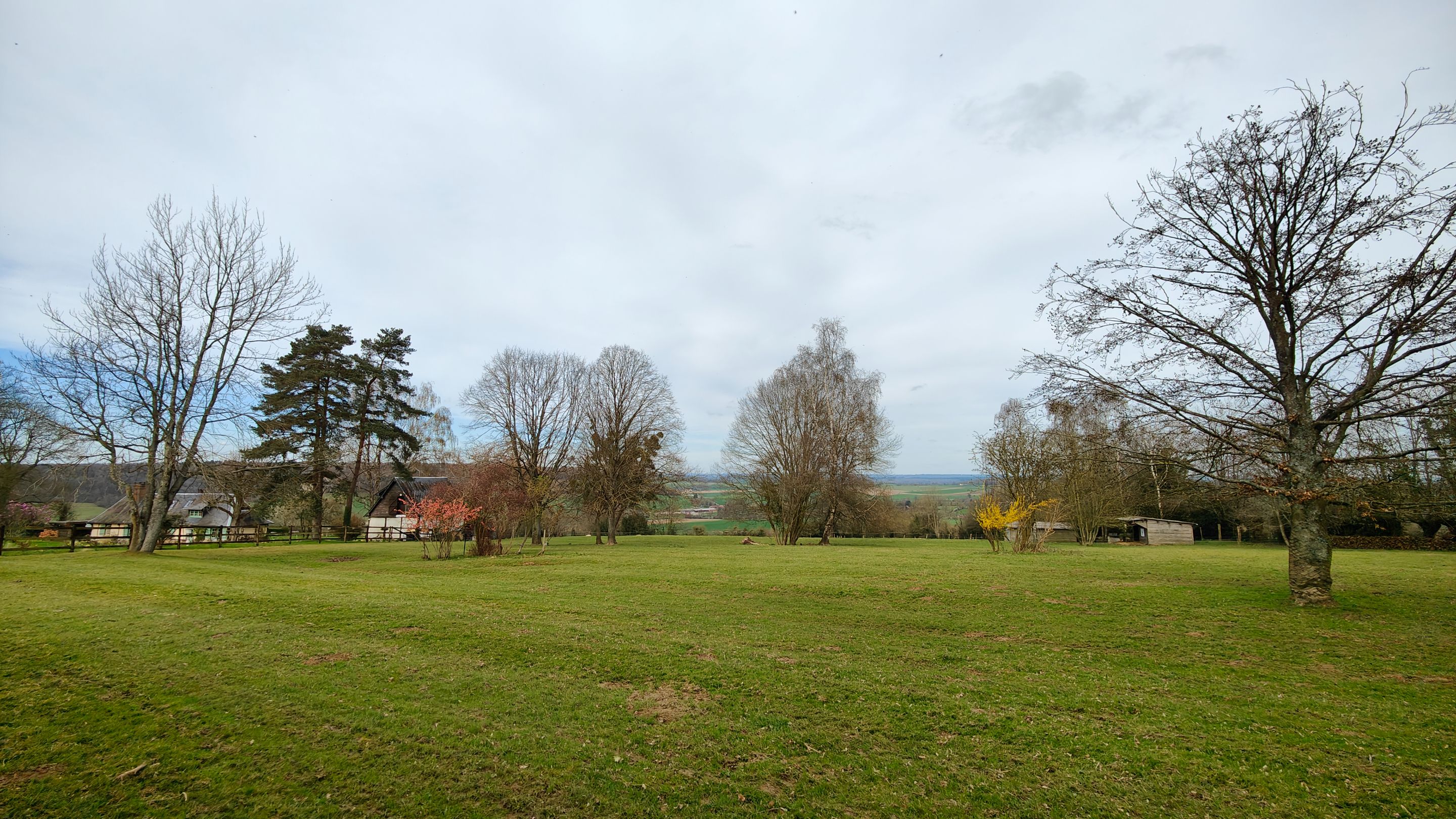
We parked the car on this small communal parking lot. In front of us was a small hill, surrounded by similar small hills. It's hard to see in the photos, but according to my hiking app, each of these hills has a summit around 200 meters high.
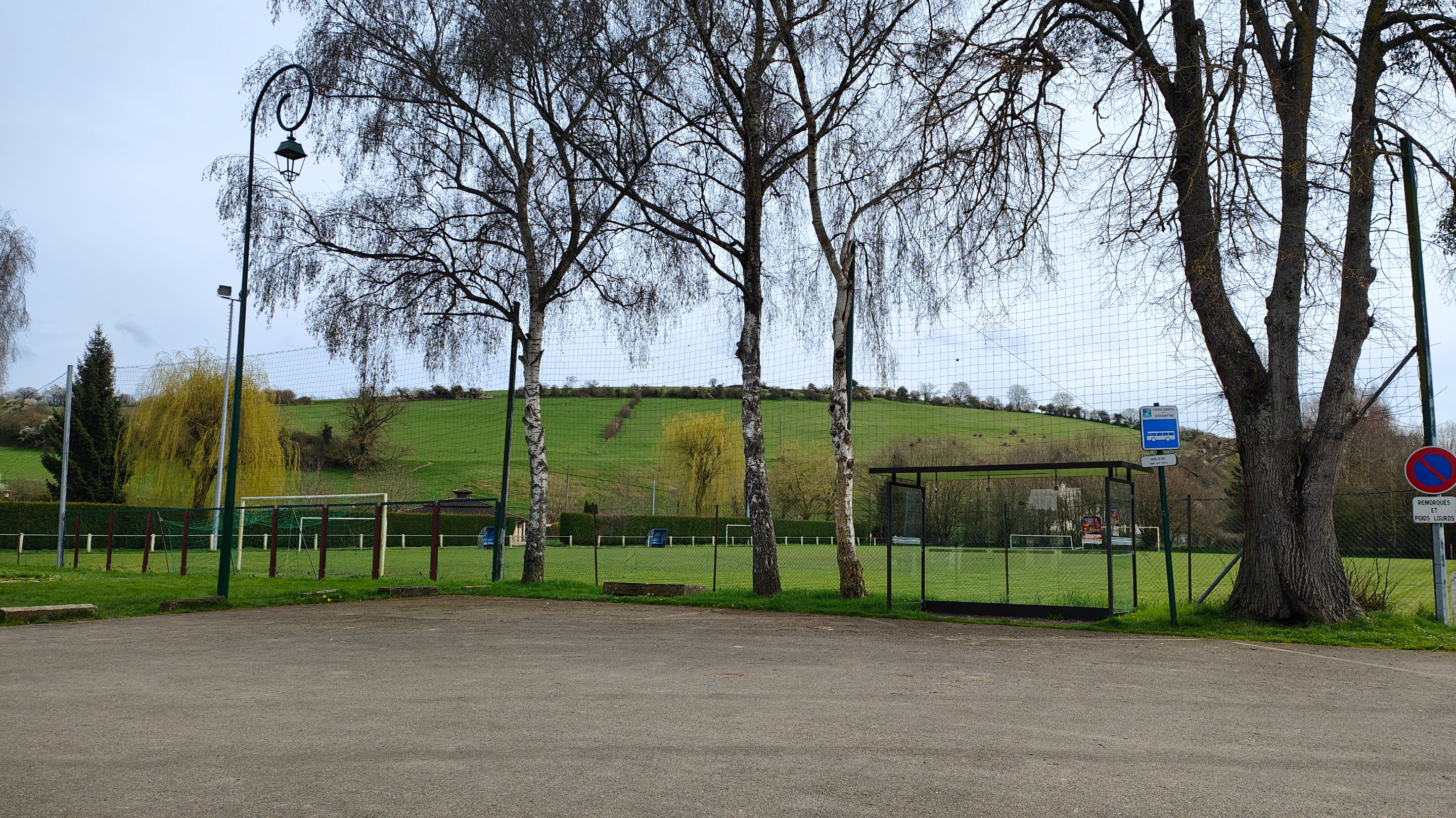
There was a thin layer of clouds at that time of the day (12:30 PM). But according to the weather forecast, it was going to clear up.
Even so, it was already quite warm. I even allowed myself not to take anything to cover up and just left with a T-shirt and a backpack.
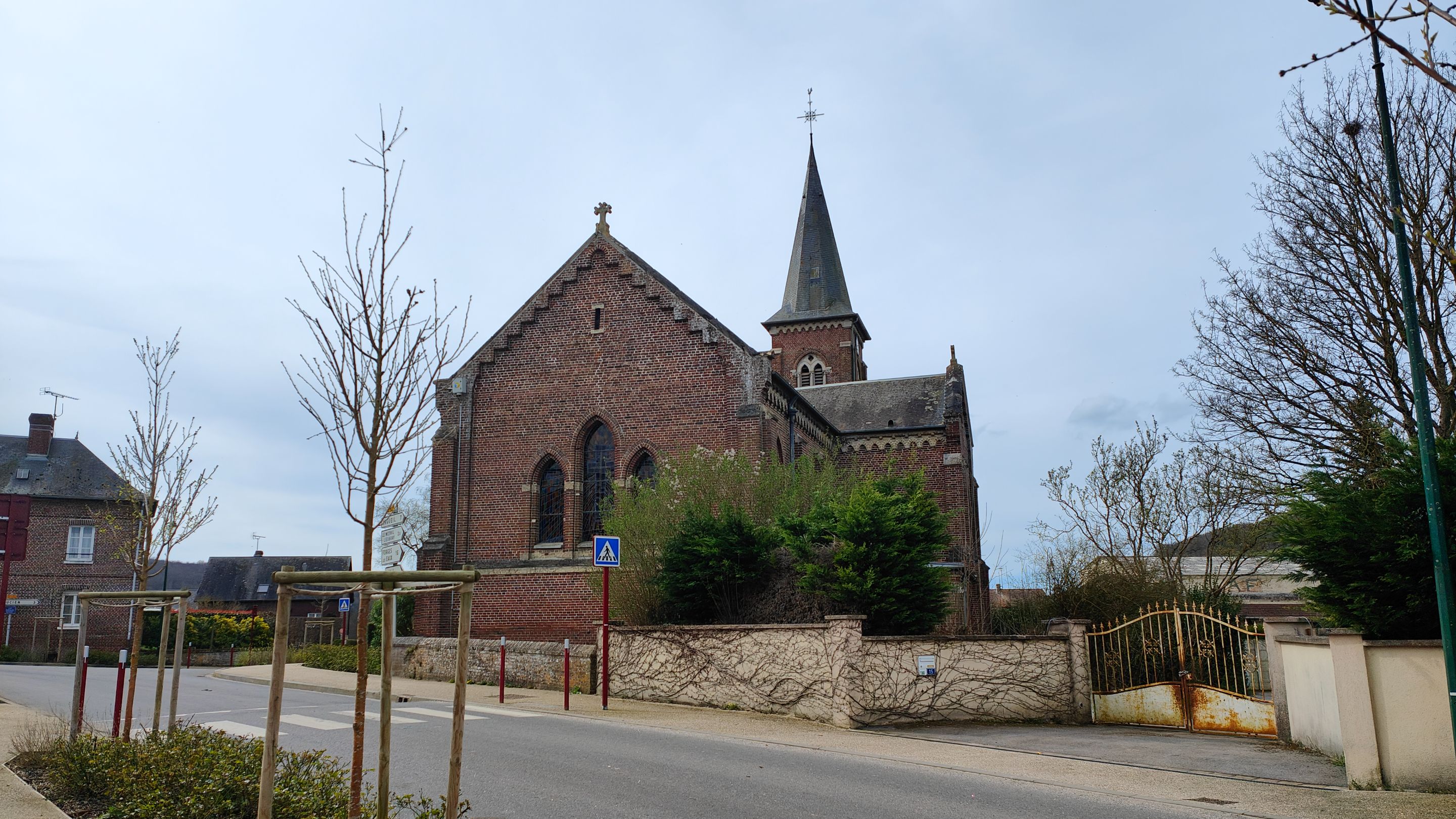
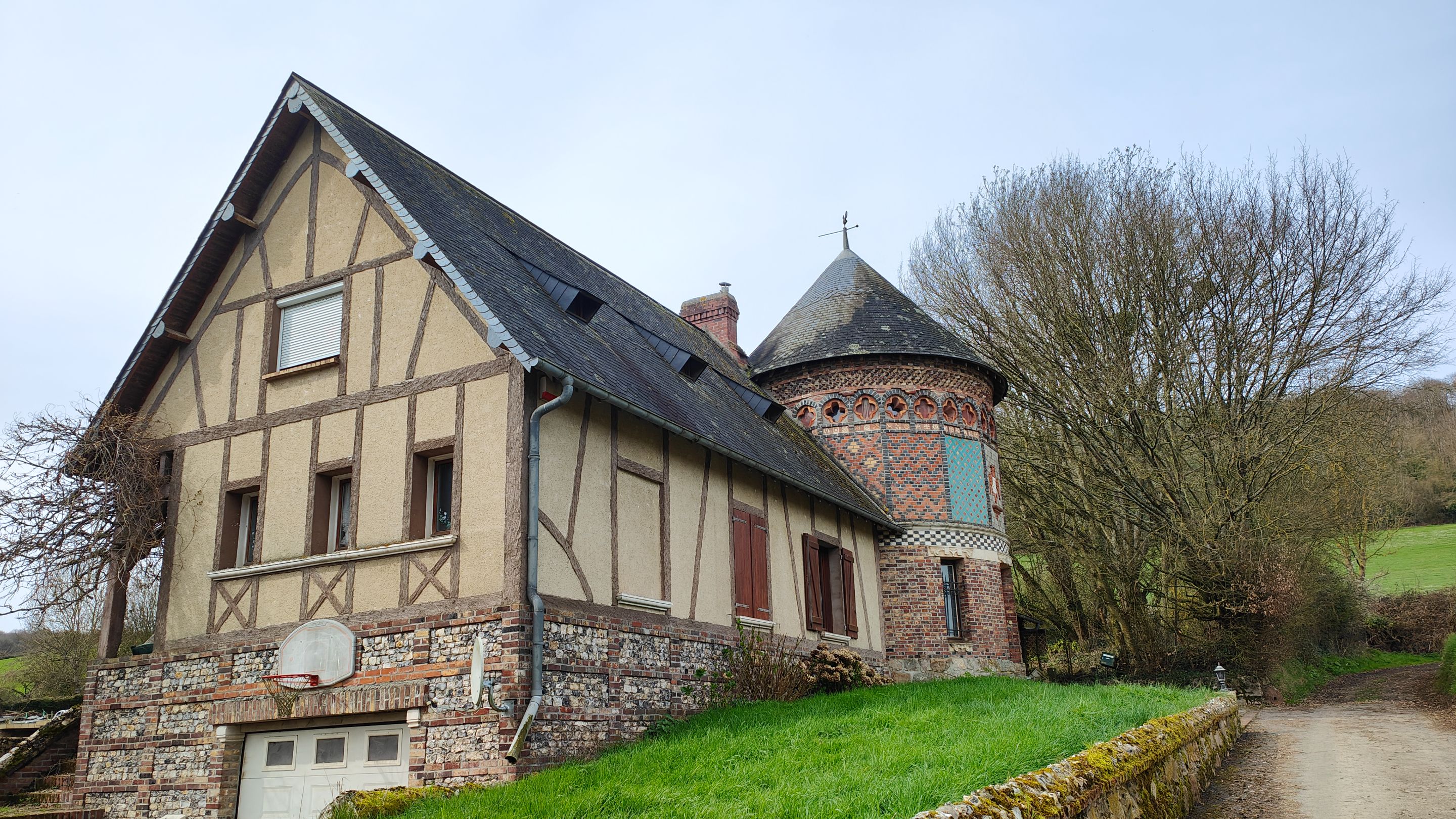
The beginning of the hike took us through Nolléval, a very small Norman agricultural village like many in Normandy.
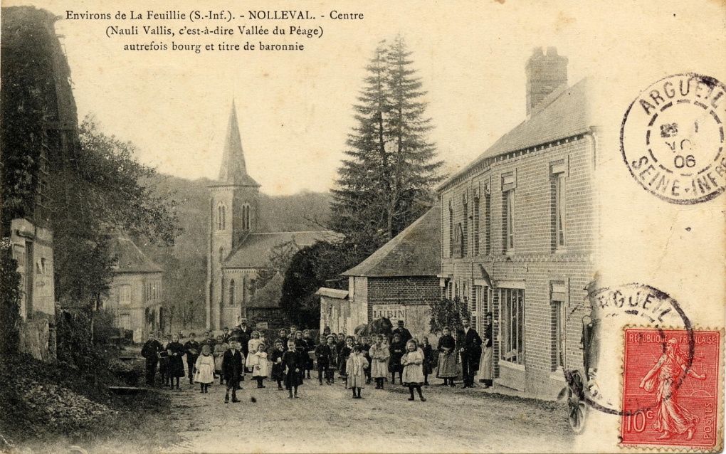
While writing these lines, I stumbled upon this photo on Wikipedia. I wish I had found it earlier to attempt replicating the shot during my visit.
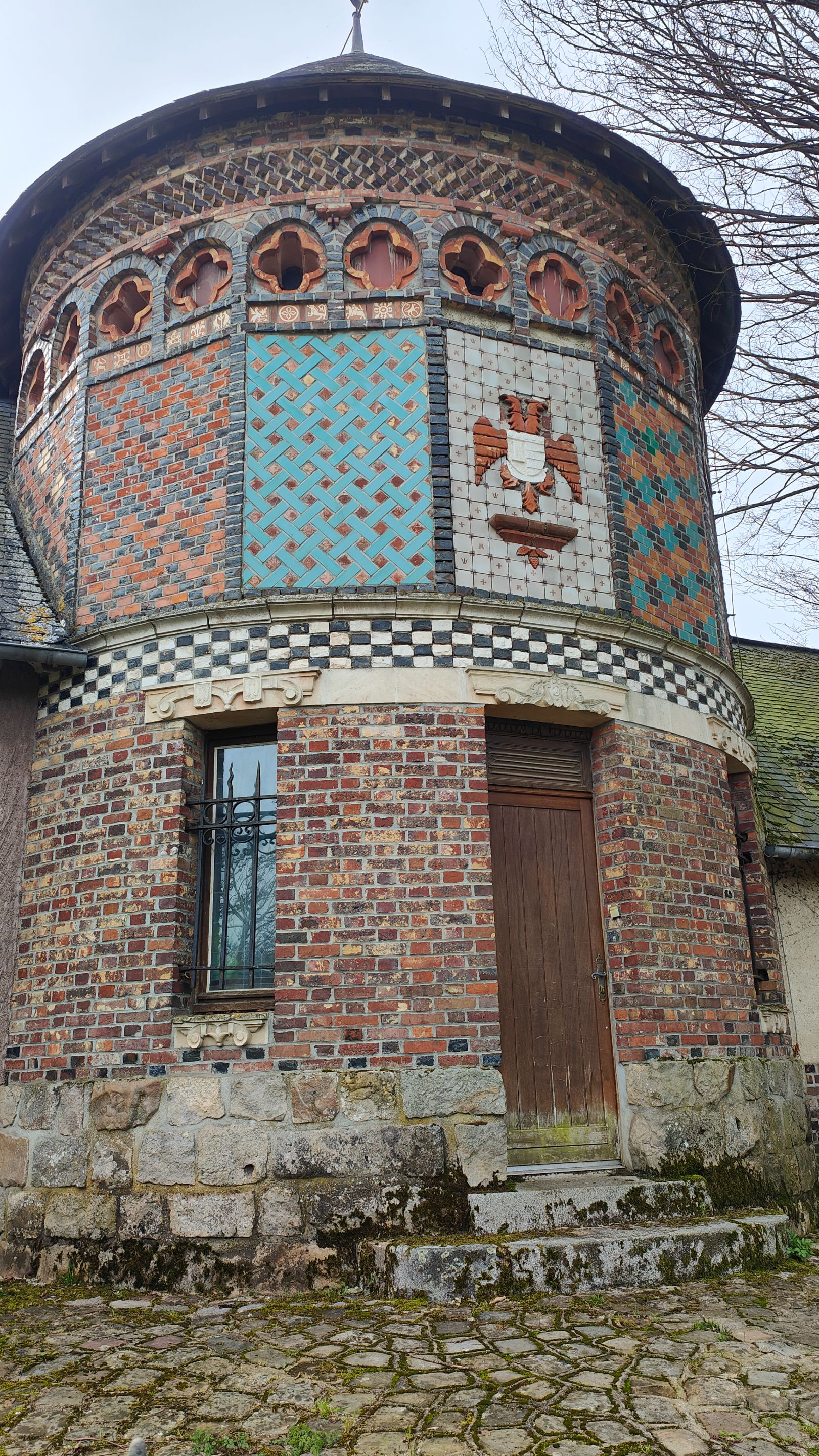
Admiring the architecture, we noticed its timeless beauty, distinct from modern constructions. These buildings are not only historical relics but also homes to some, undergoing renovations to preserve their legacy.
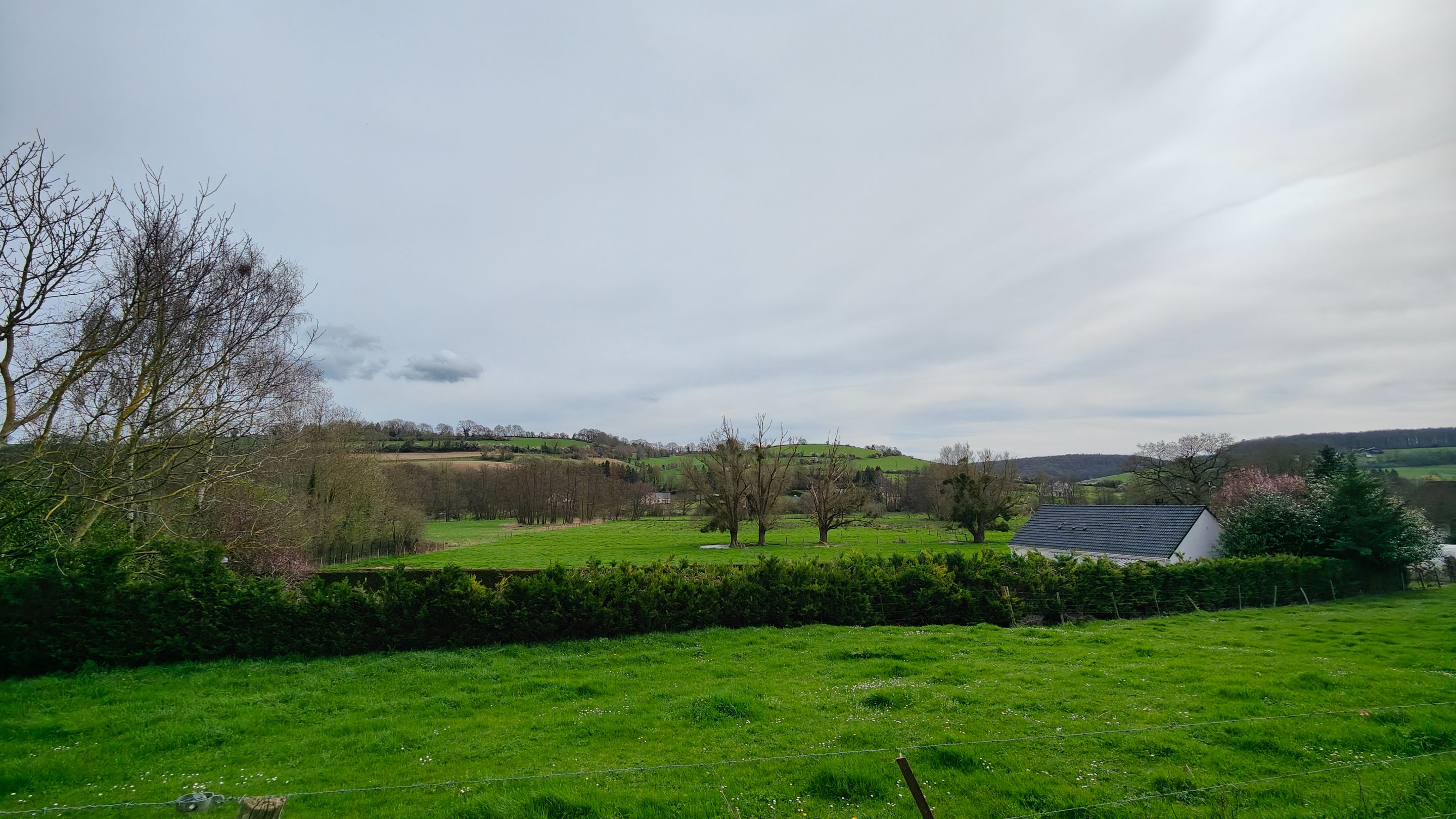
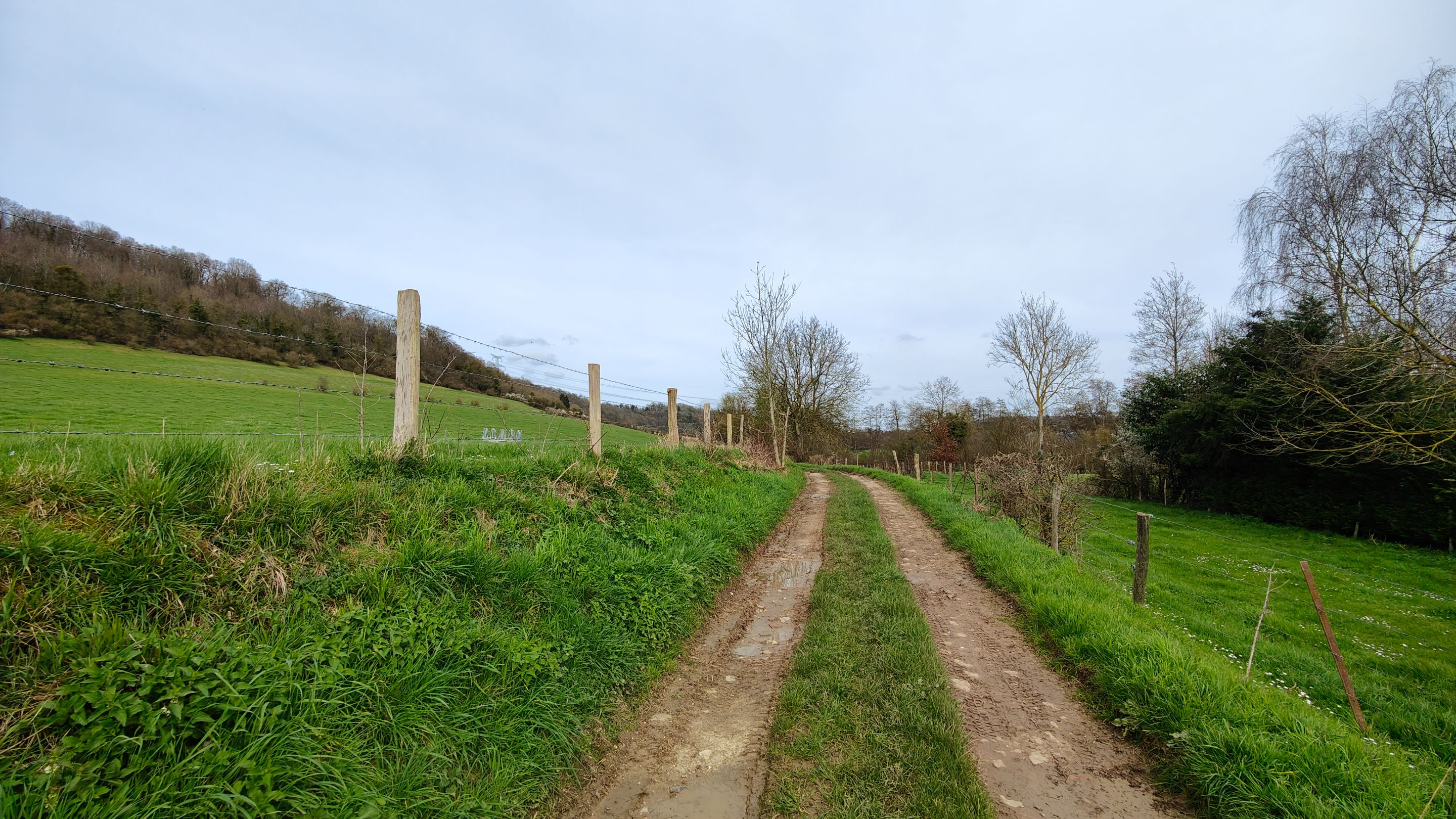
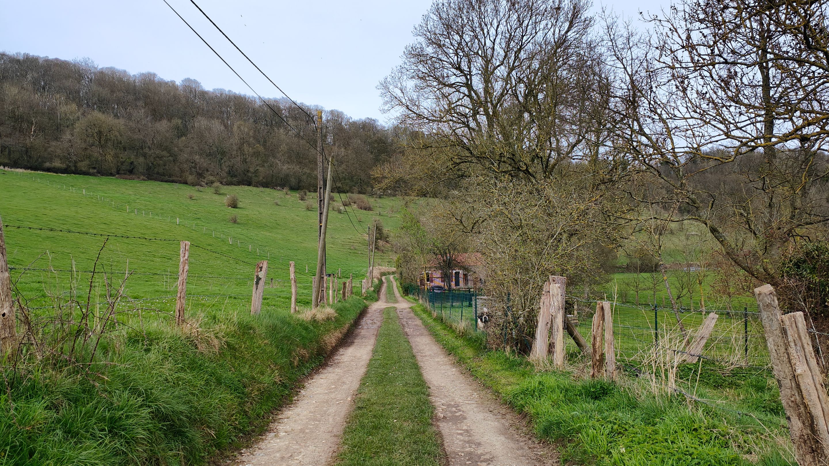
Venturing further, we followed a dirt path away from the village, immersing ourselves in the serene landscape that lay ahead.
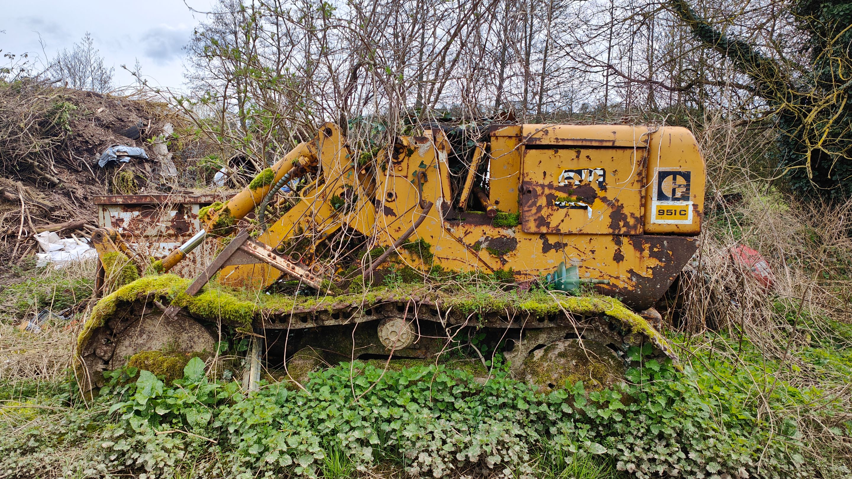
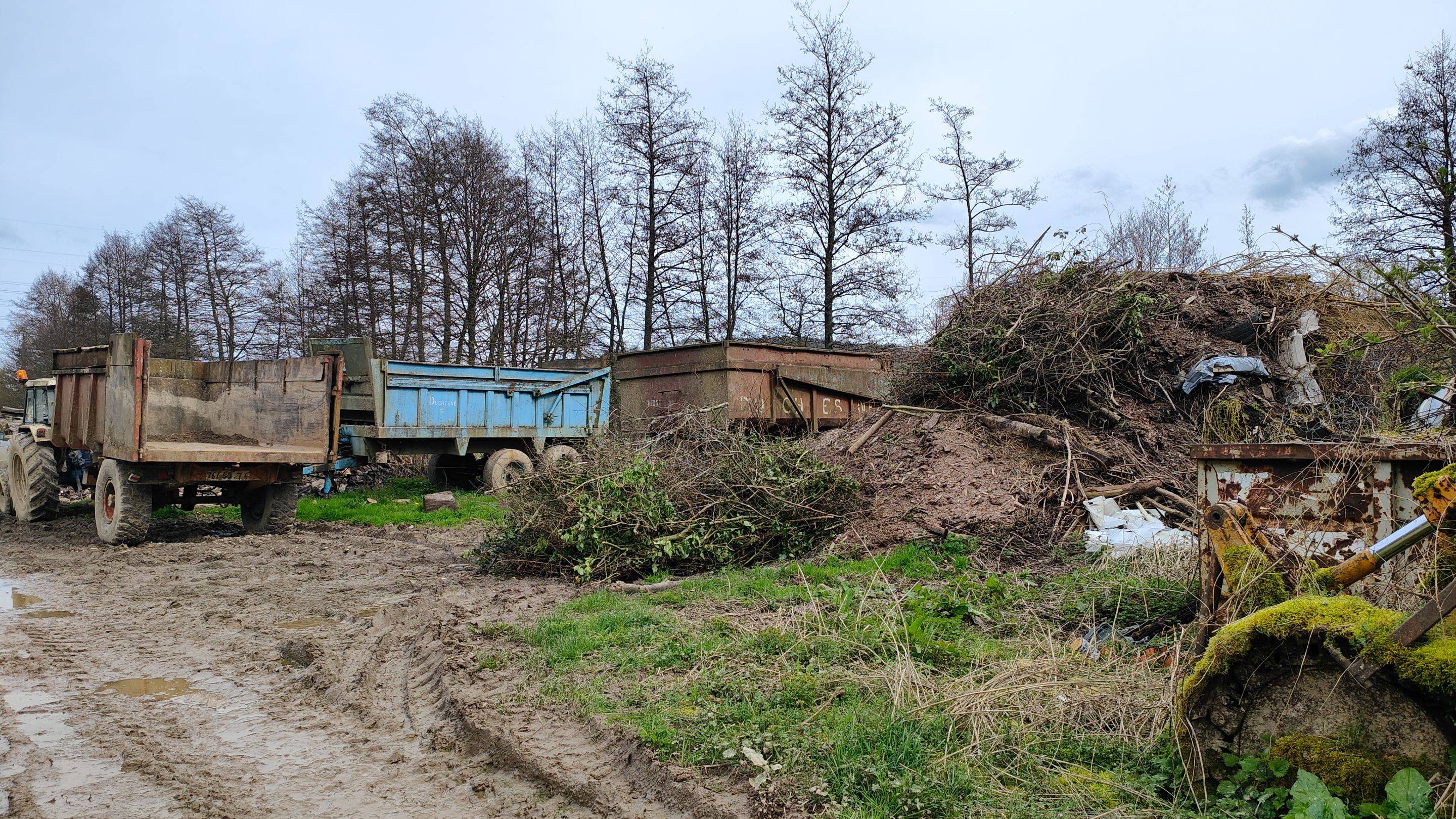
Our path led us through a farm, where many machines were left abandoned.
It's not good for the environment. However, it made for beautiful scenes to photograph.
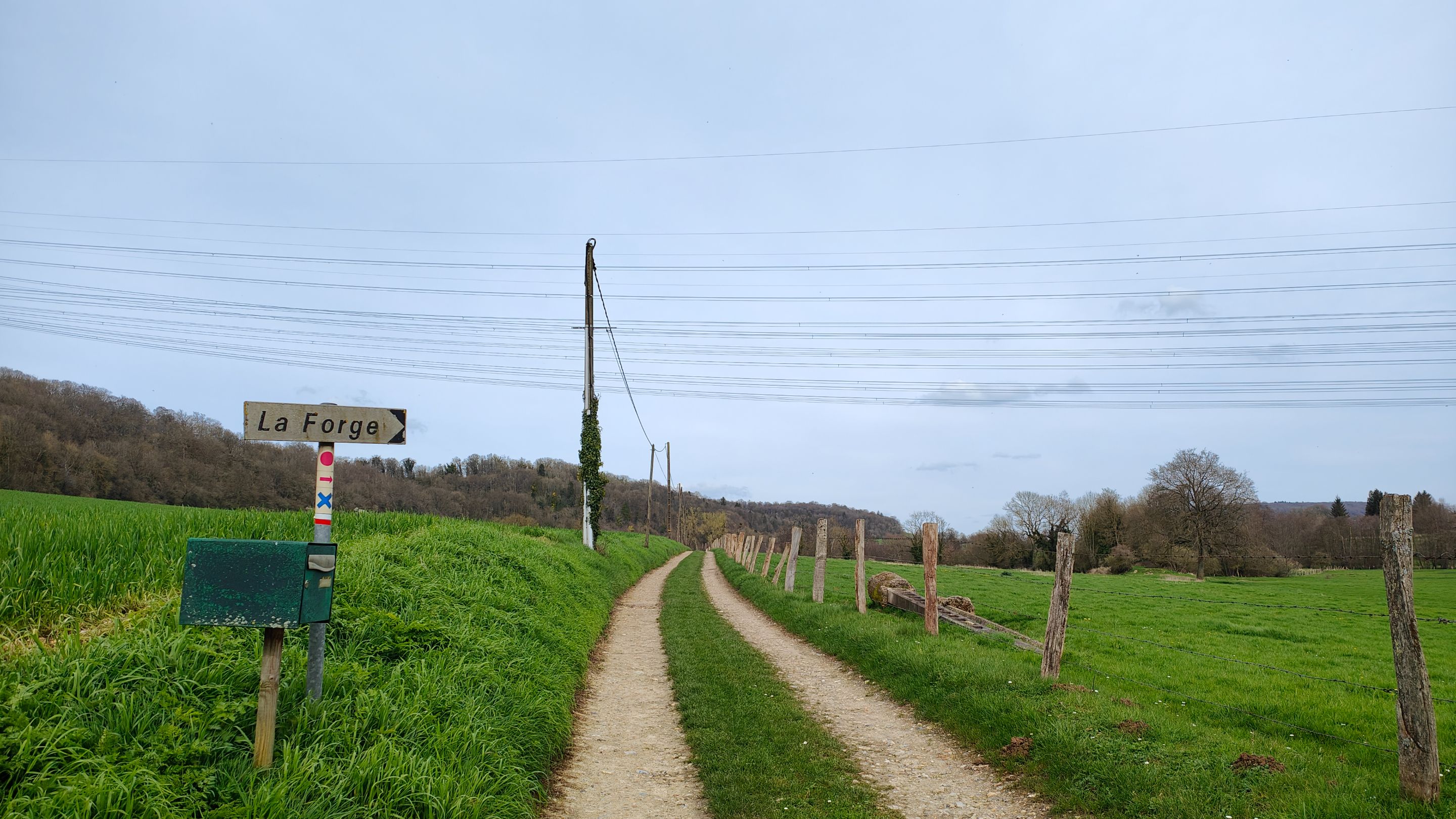
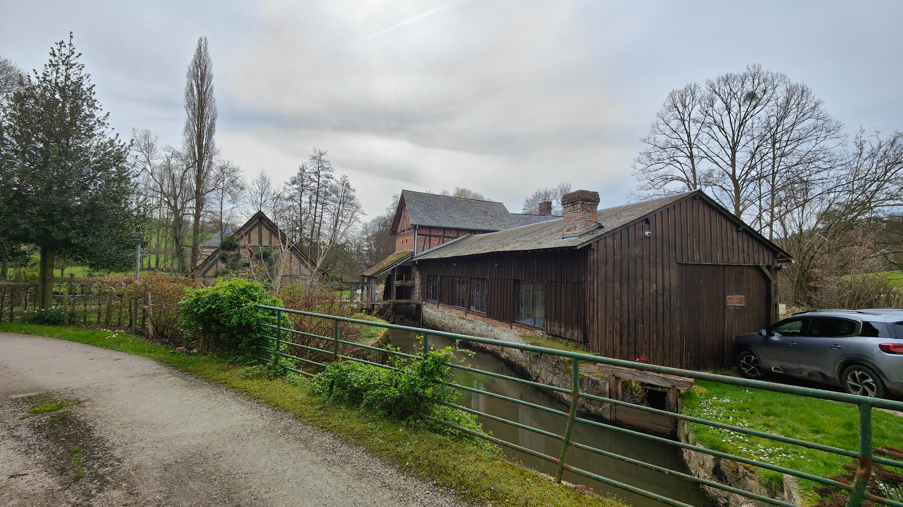
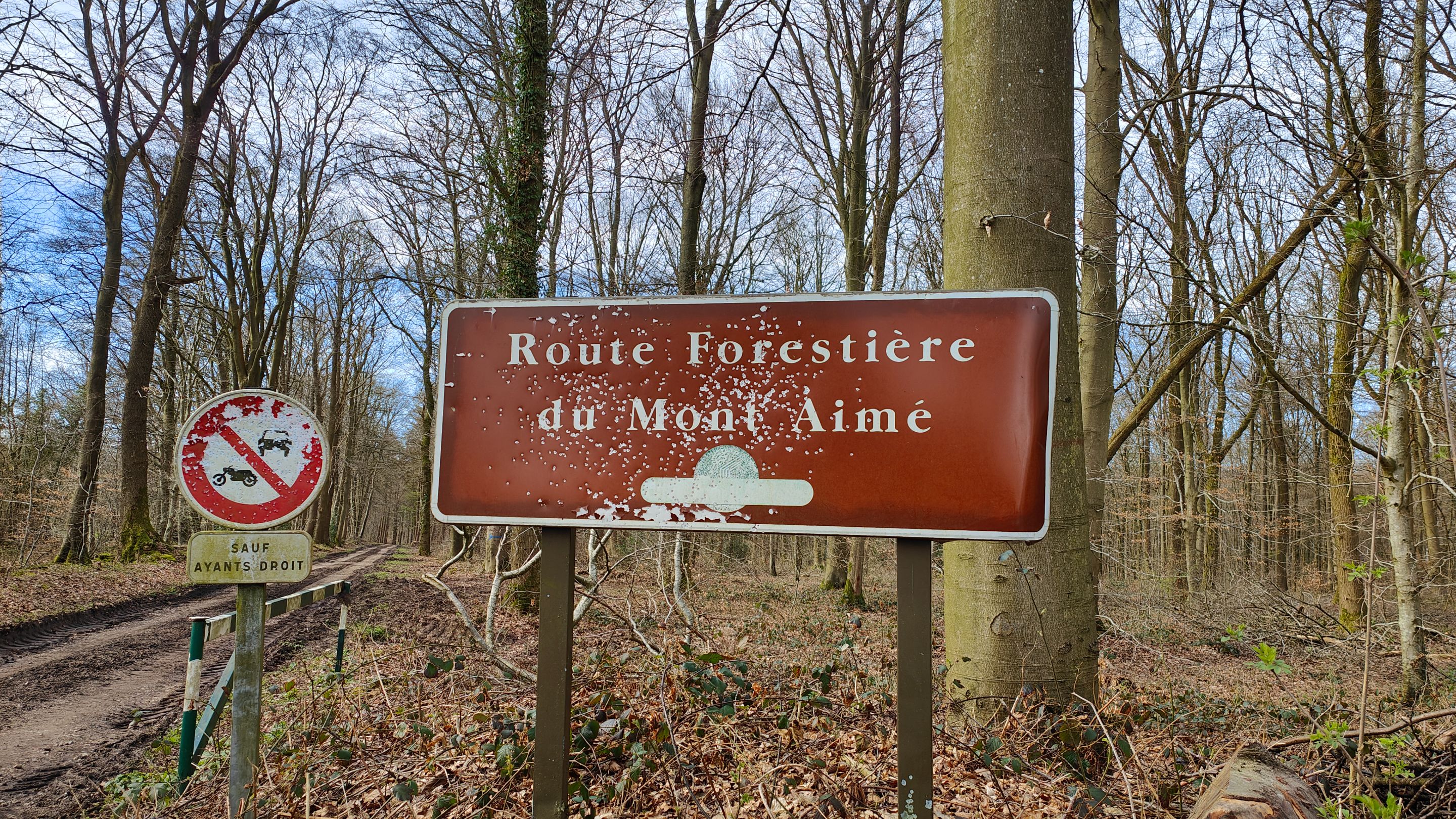
Leaving the farm, we continued on our way to "La Forge."
As you can see in the photo with the sign, beneath it, there is a red circle, below that a blue cross, and beneath that a white and red line.
The "white and red" marker indicates a GR hiking trail. There are several GRs, this one is brand new and not yet "approved." Generally, all have a length allowing for hikes of several days or weeks.
When this one is approved, it will allow for a hike of more than 190km.
I concluded that the sign indicating "La Forge" actually led us to this small house.
I didn't dare to photograph it closer because there were people inside. But the owners have recently done some renovation work, and they must have hired an architect and landscape designer because it was done with great skill, modern yet fitting seamlessly into the landscape.
In fact, the renovation perfectly complements the environment.
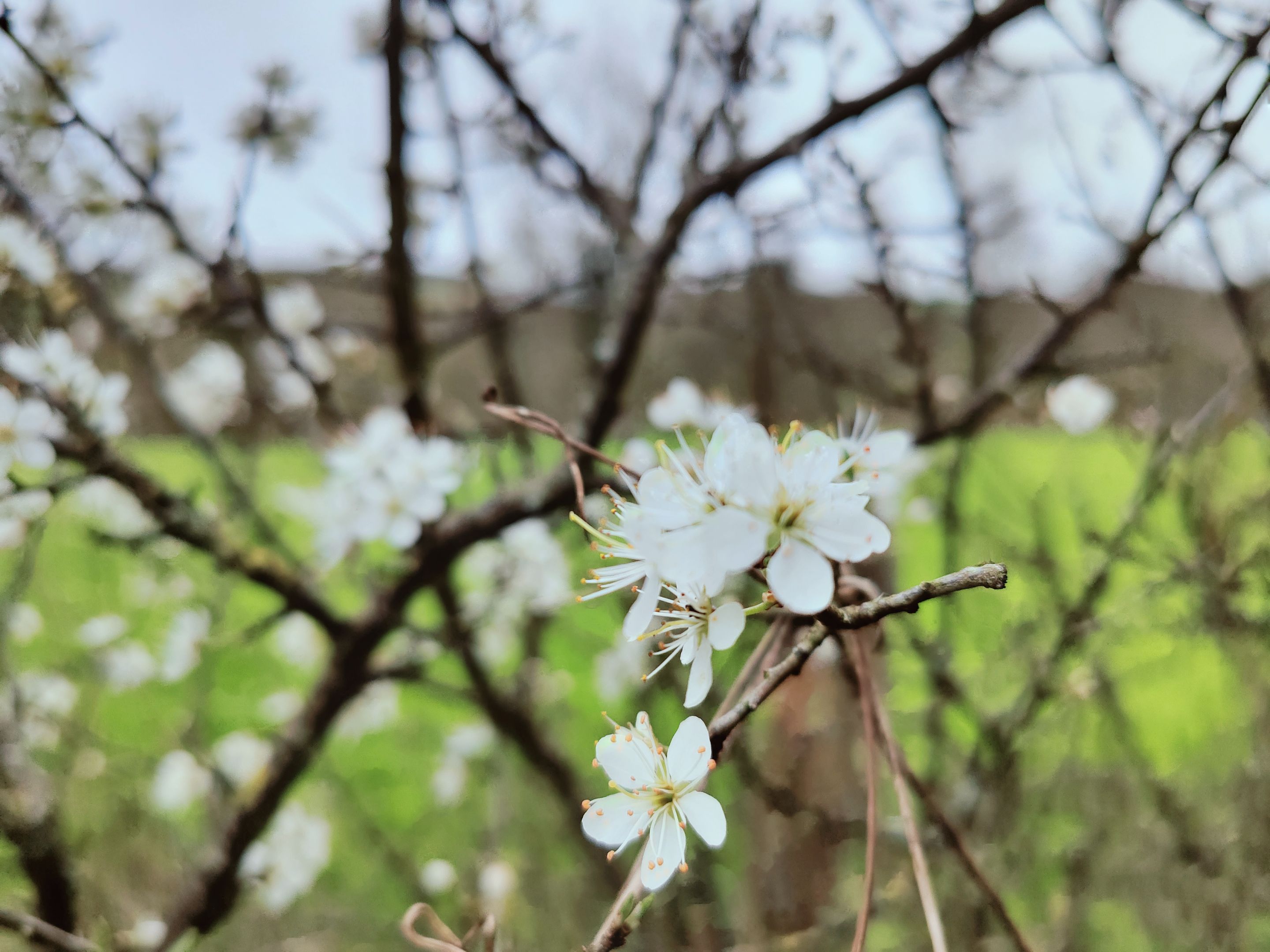
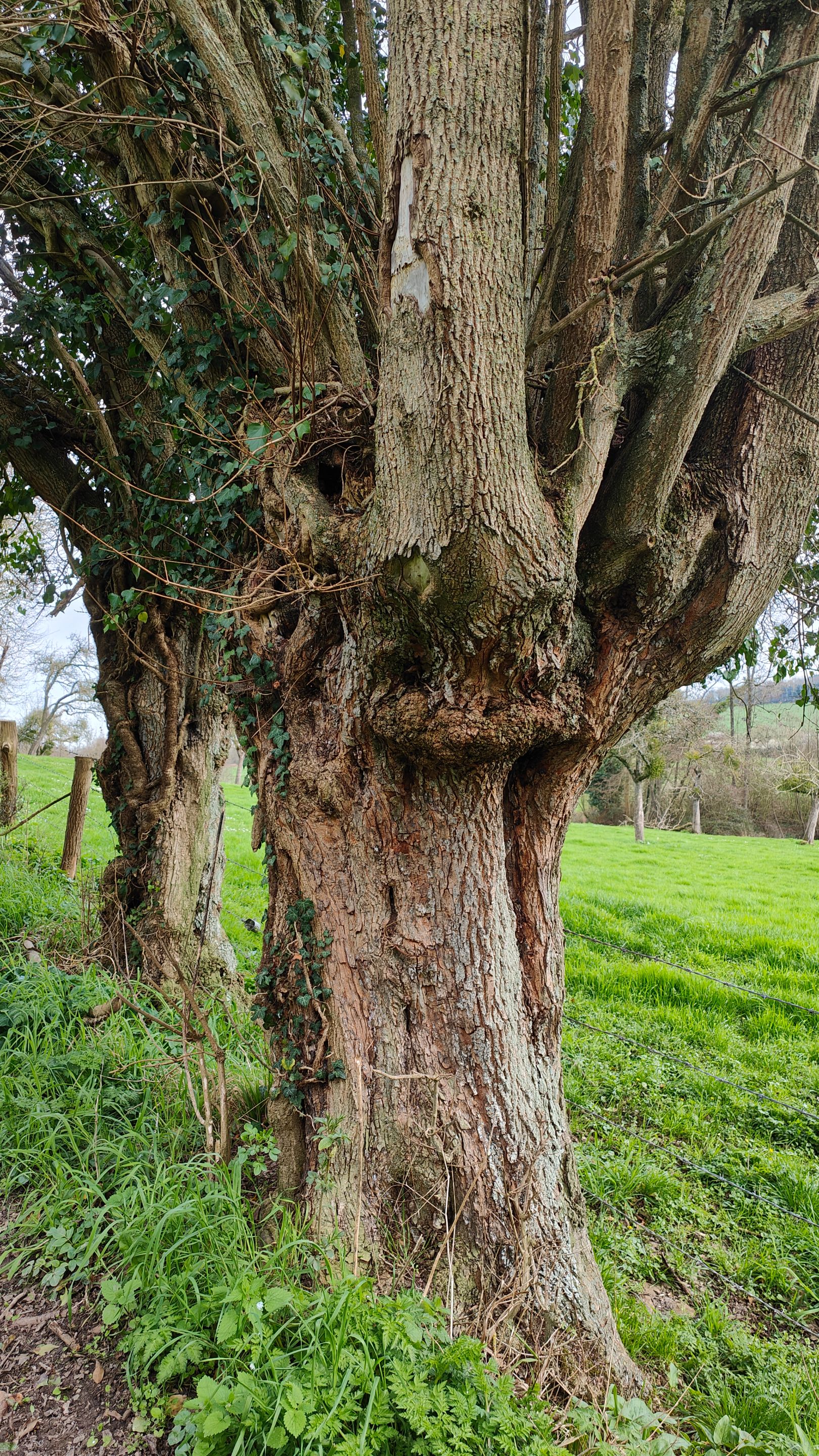
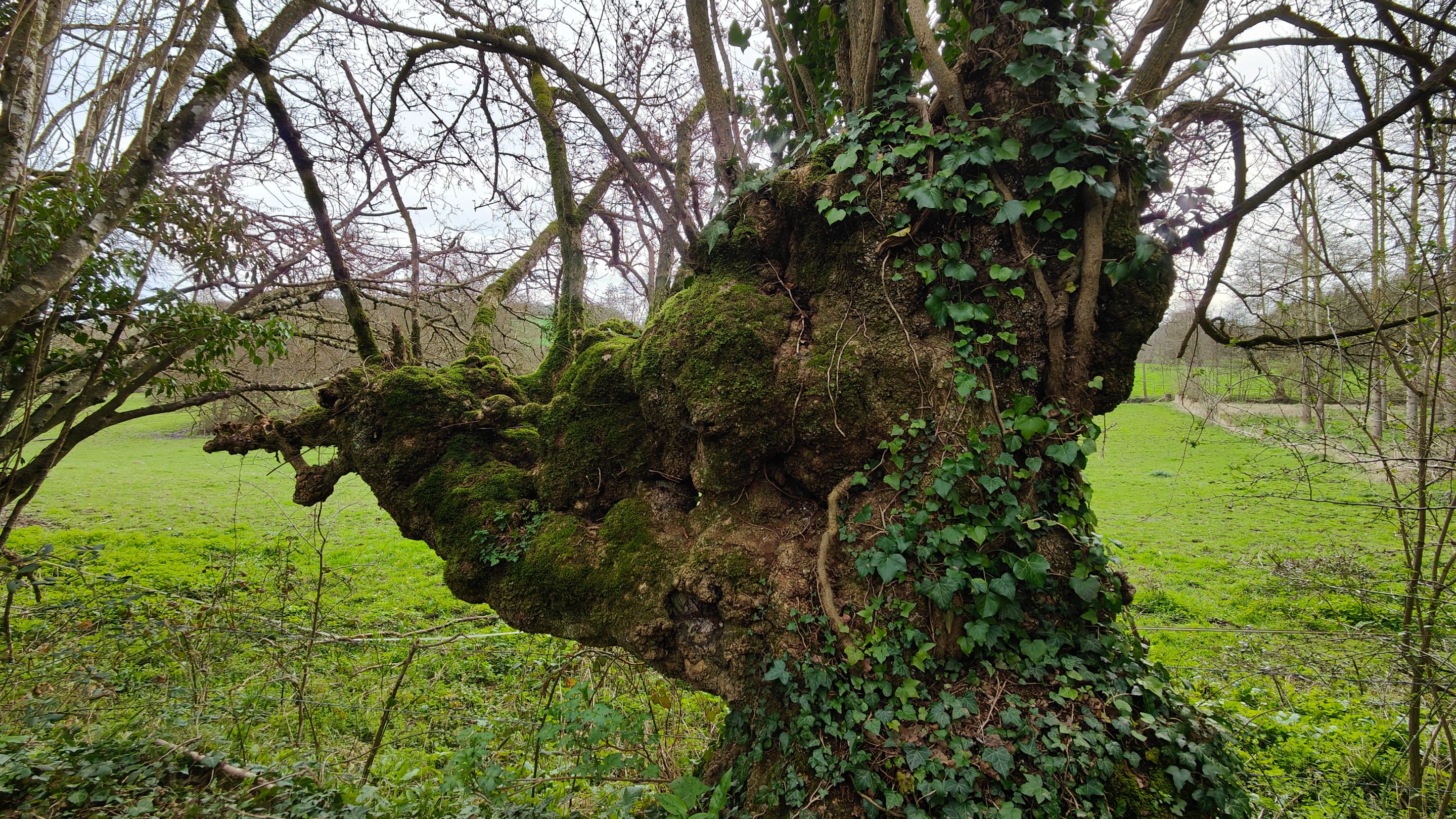
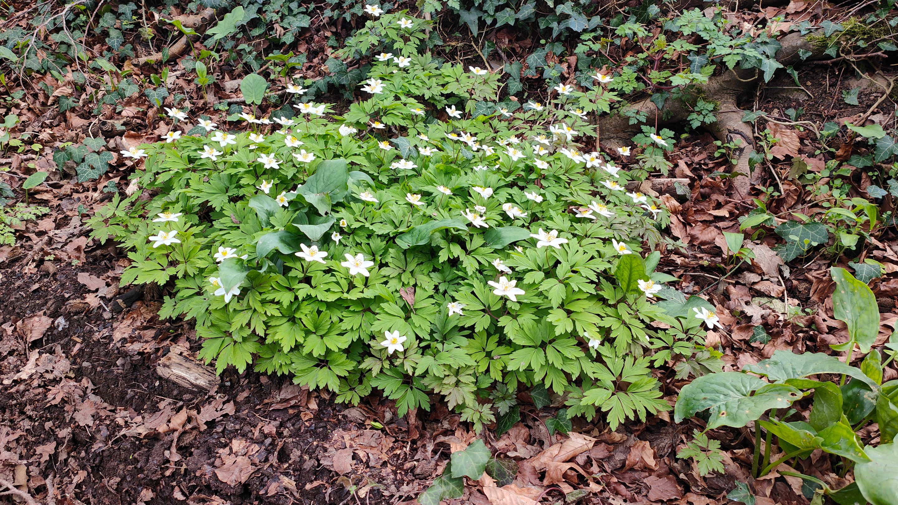
Here, an astonishing tree and the beginnings of spring's wonders.
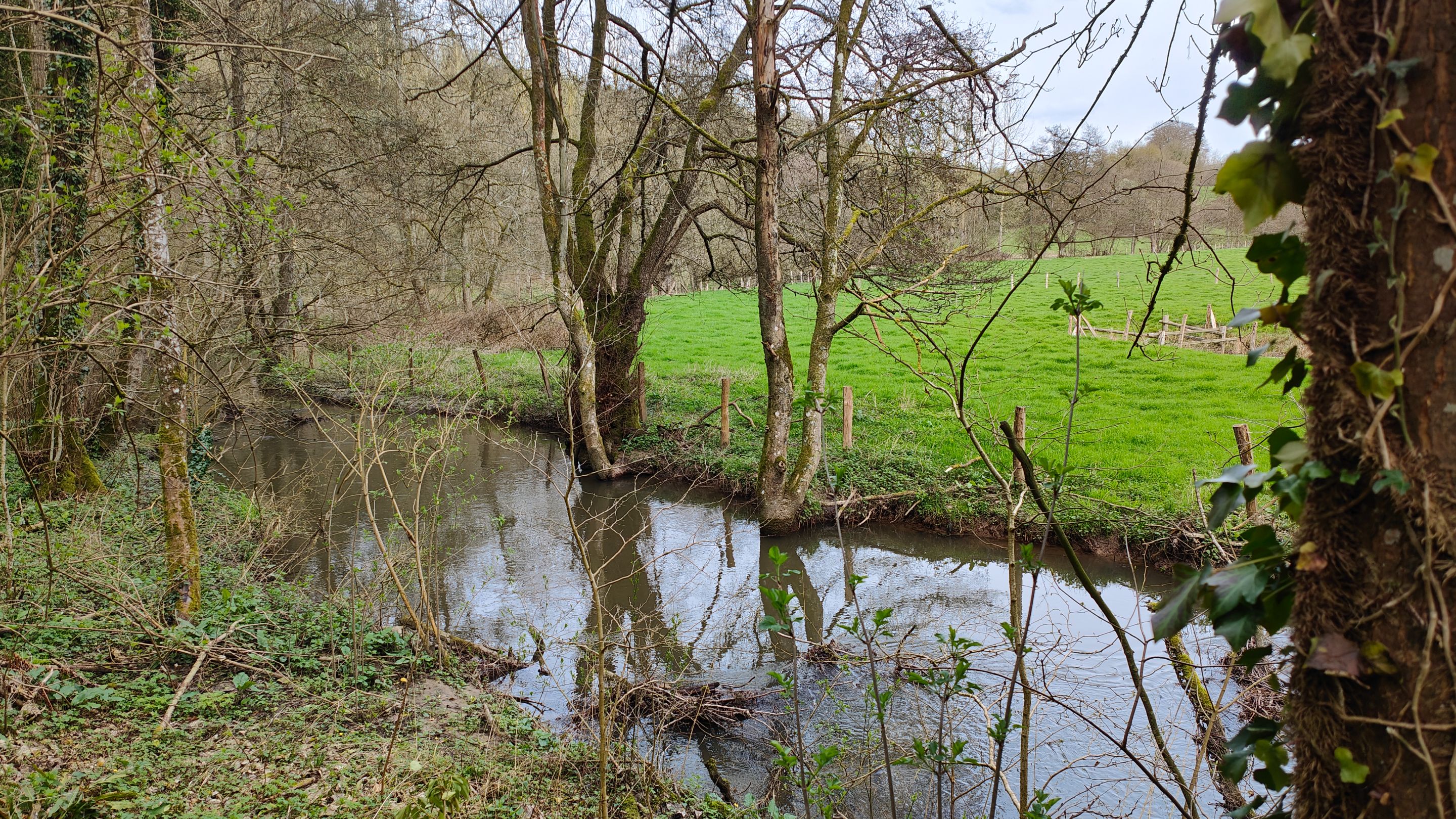
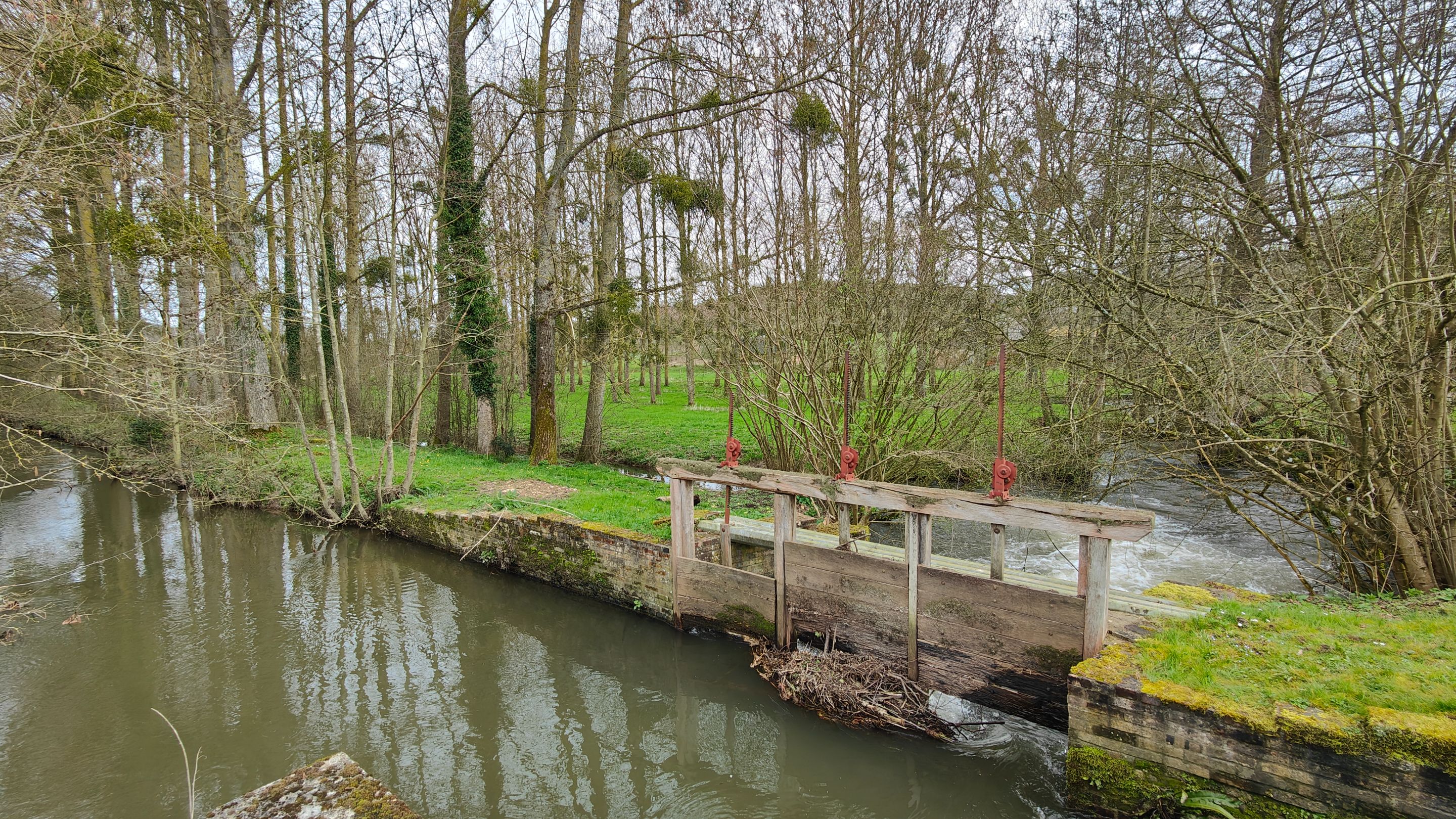
Throughout this section of the walk, we followed the Andelle, a quiet little river or stream.
There must be many trout in it. I recently learned that to fish in France, you need a fishing card, and there are specific dates for fishing, similar to hunting.
Otherwise, it's considered poaching. It's good to know to avoid ending up with a hefty fine. I don't fish, but maybe one day I will, especially on my property where I have a pond and a stream.
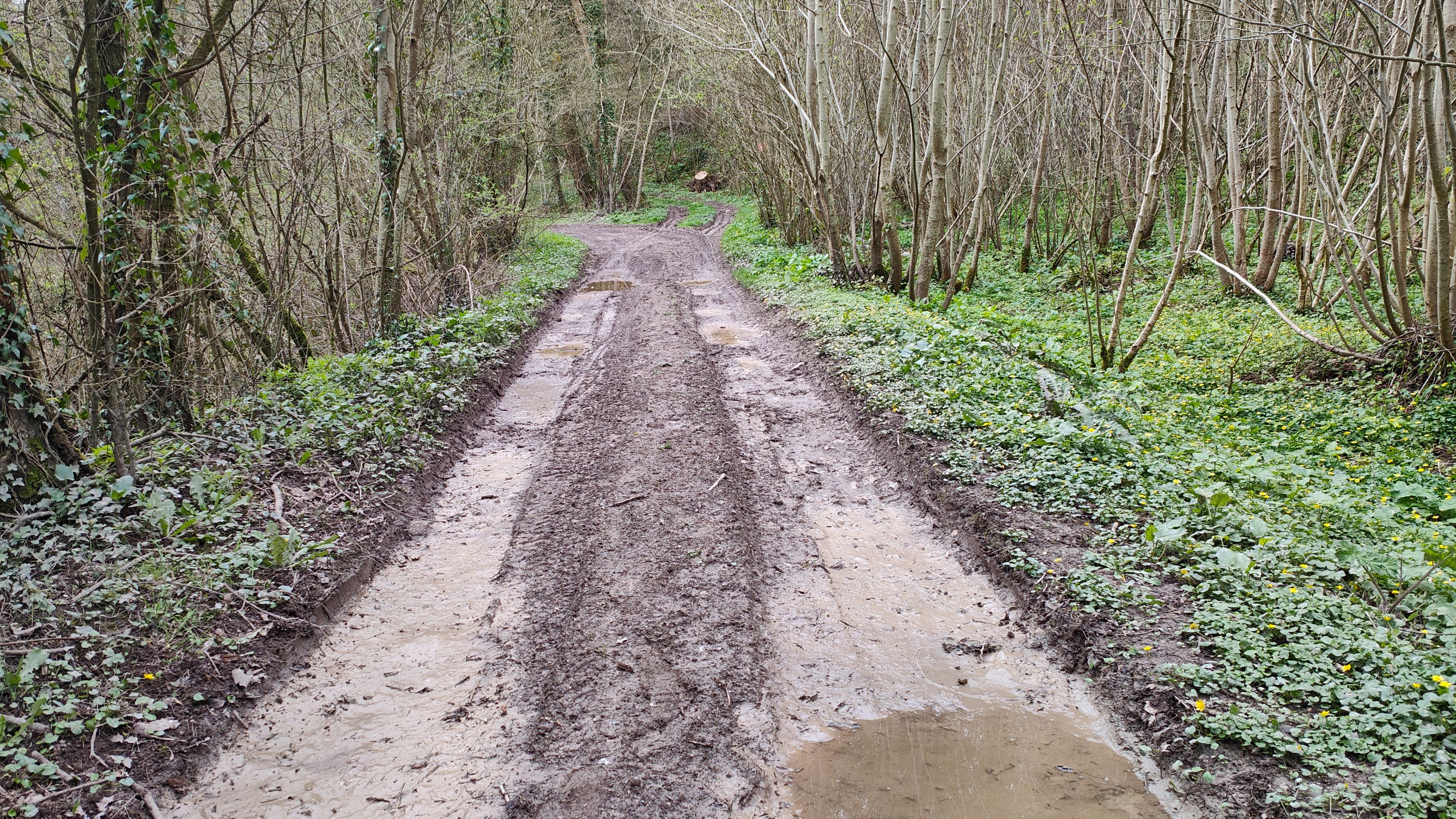
Here, there were still signs of the recent heavy rains.
And at that very moment, a 4x4 passed by and completely splashed us. No big deal, we were starting to get warm.
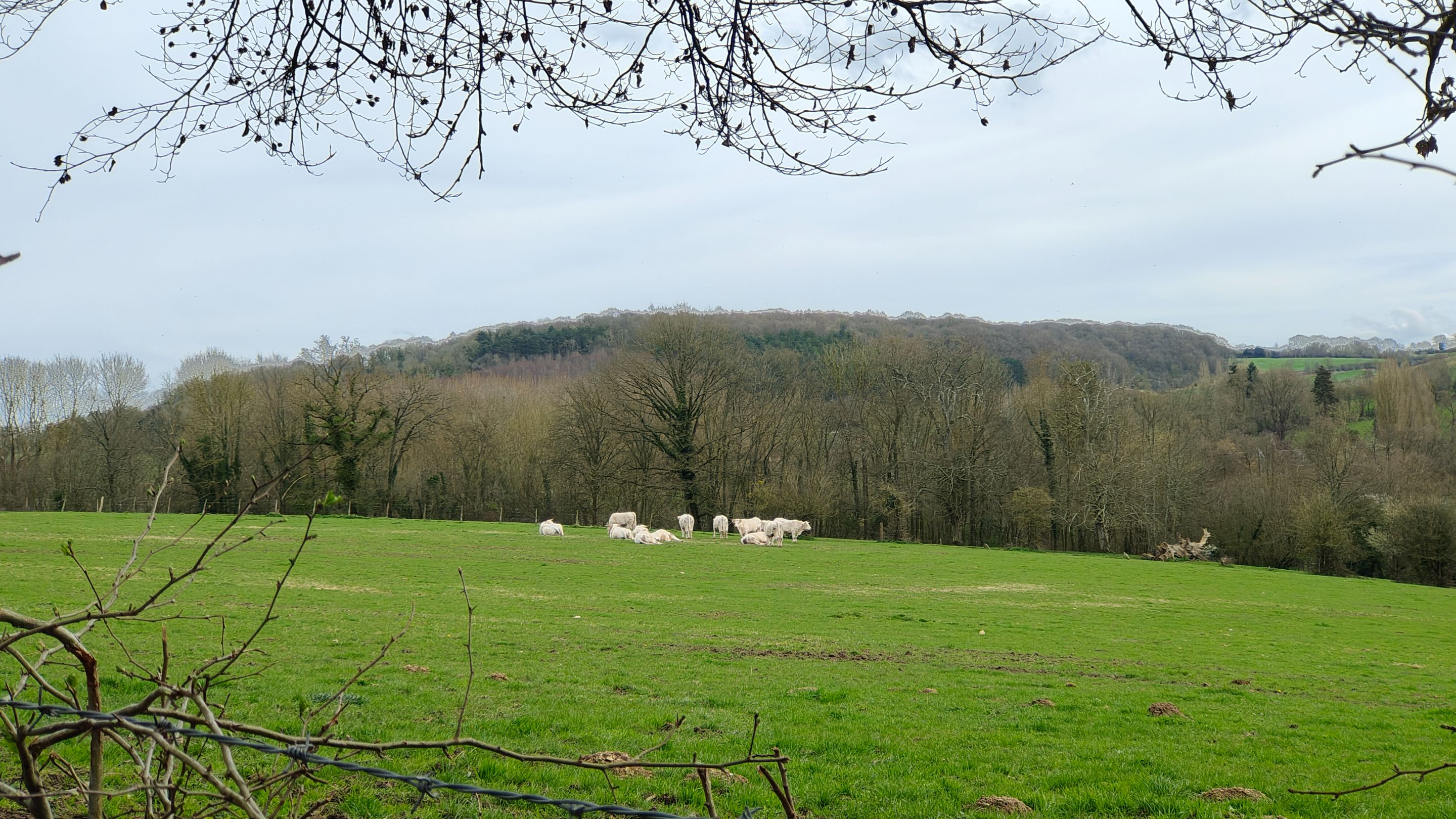
A tree that reminded me of a Curly (the snack), cows, and lovely little flowers.
Now, let's return to civilization with this art company. I don't know exactly what they do here, but the facade was labeled "Art."
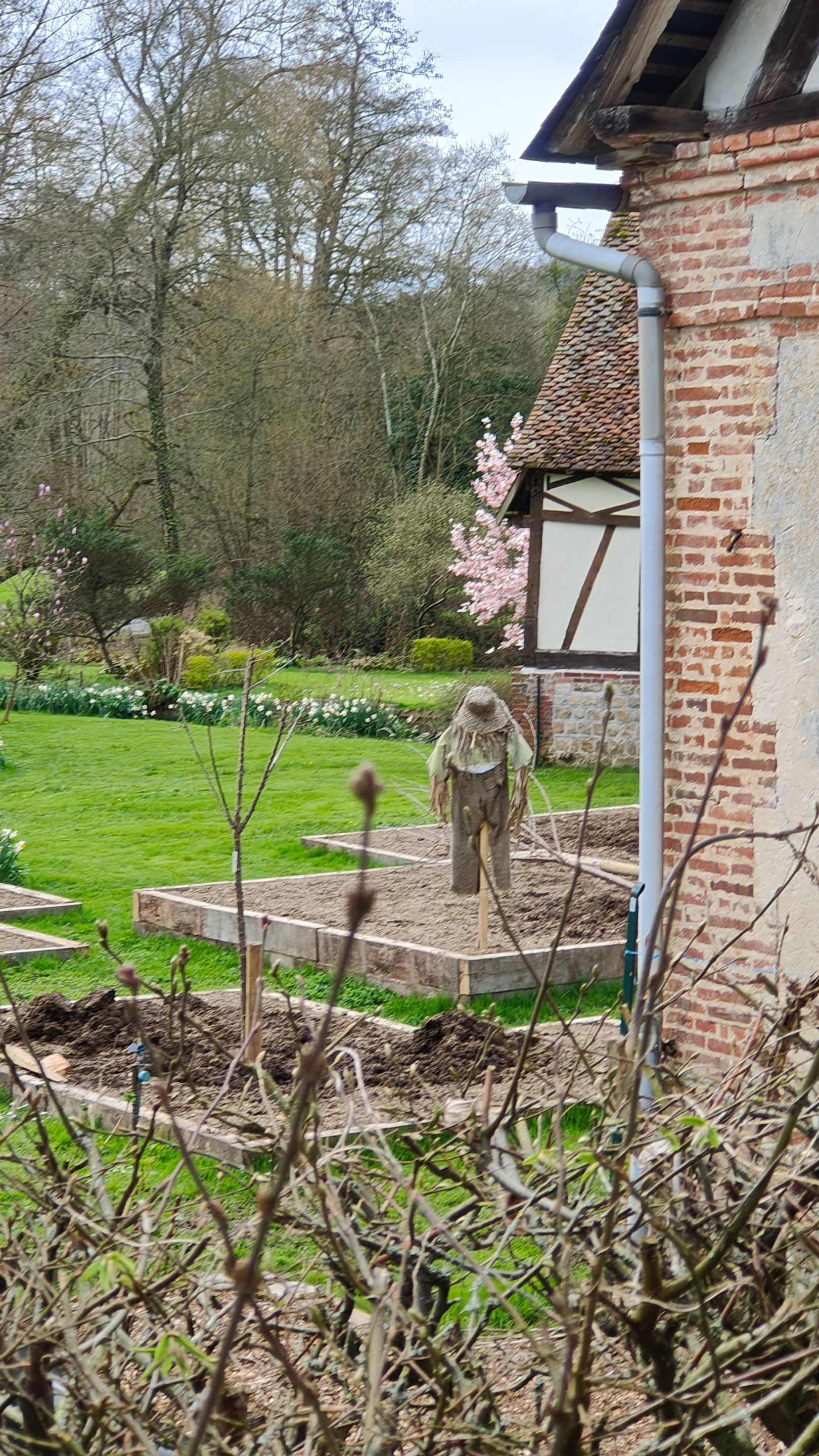
This business had several small vegetable plots. On one of them, a scarecrow. At first glance, it gave me the chills.
It's beautiful, but I don't know how you get one of these for your garden. I mean, if I wake up in the middle of the night and see this in my garden, I wouldn't be able to go back to sleep... Yes, even if I was the one who made it.
But maybe I watch too many movies and read too many books!
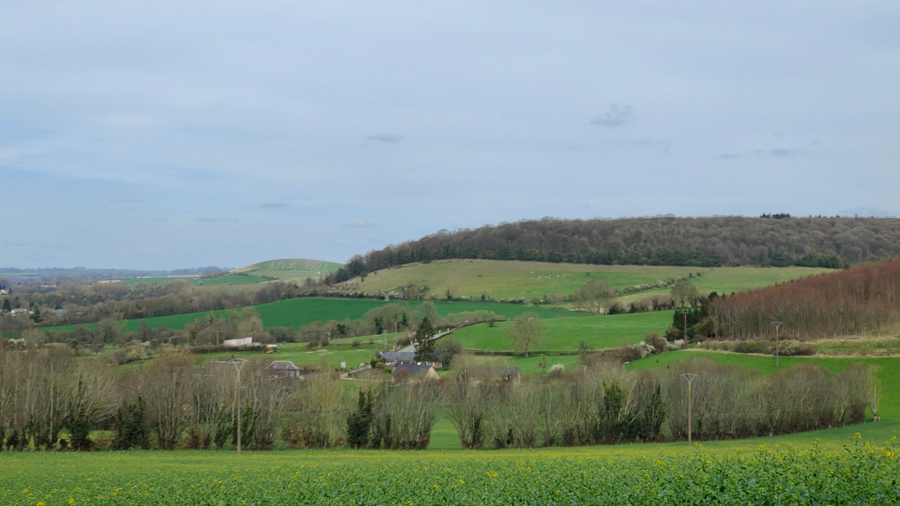
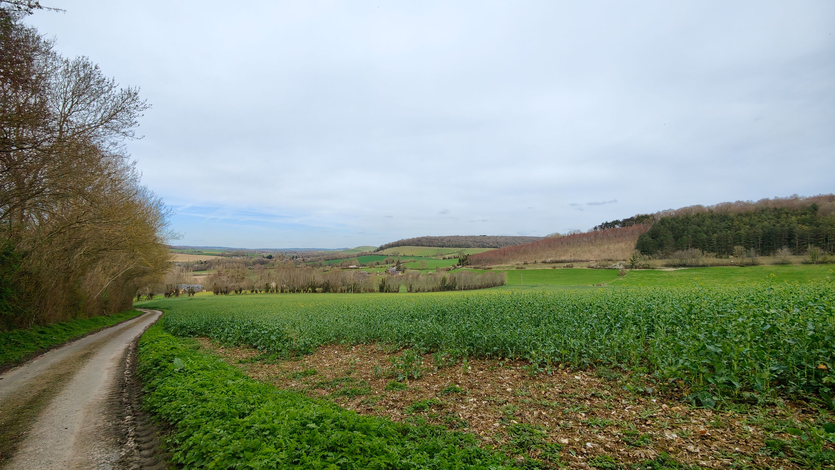
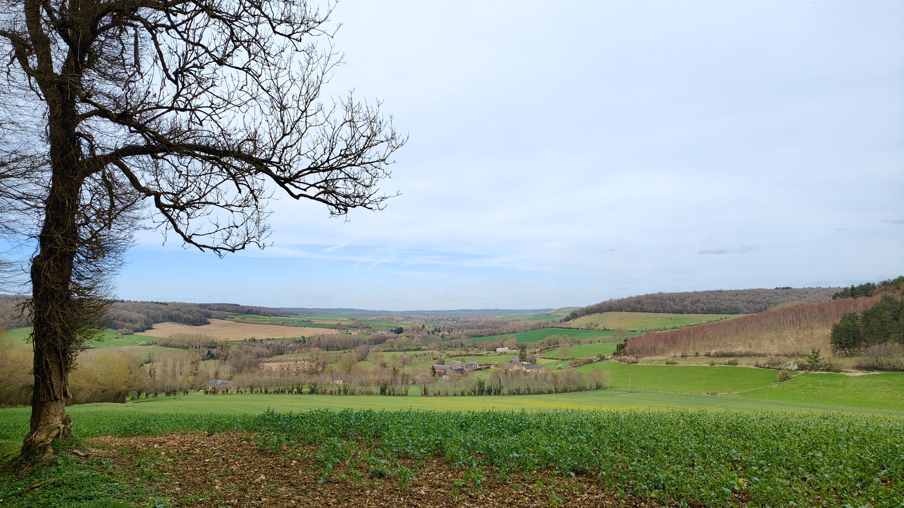
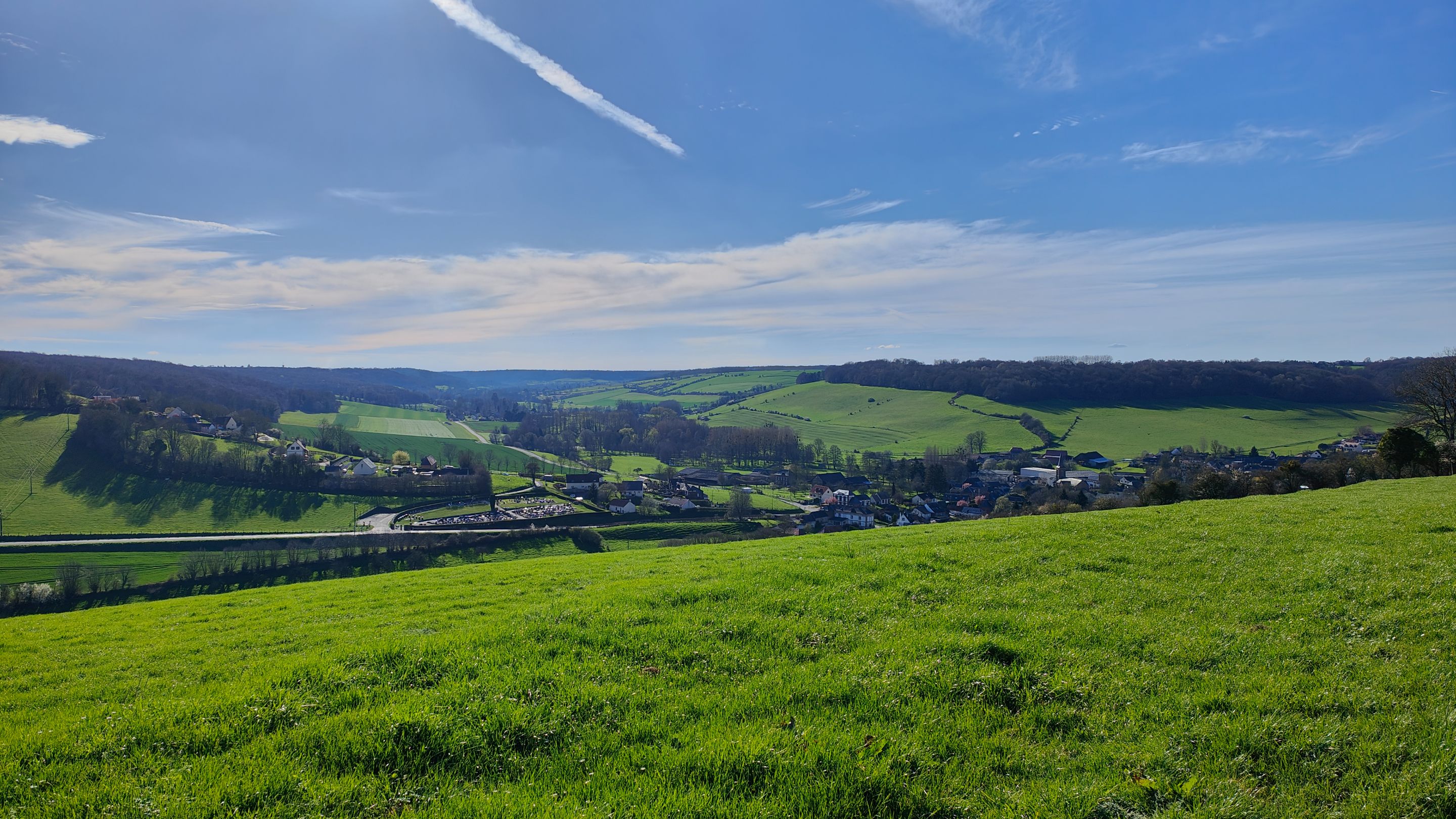
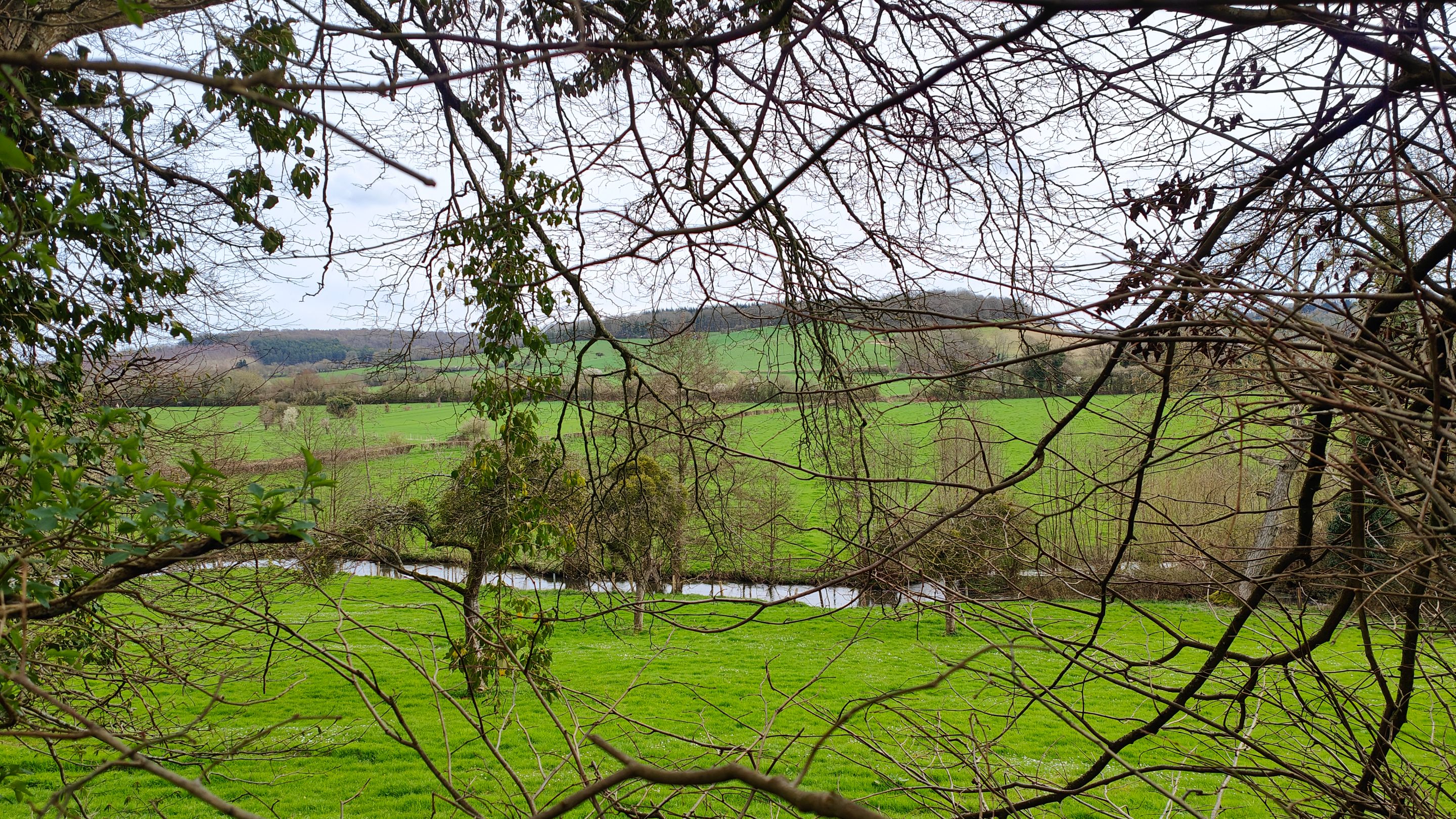
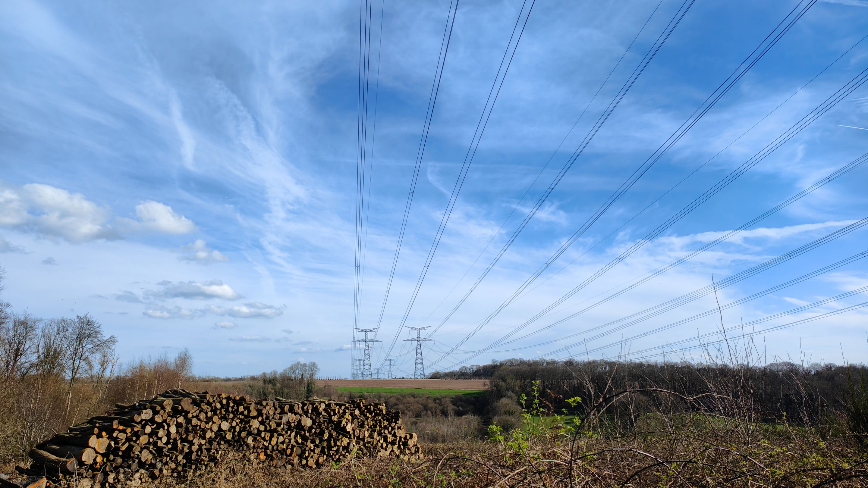
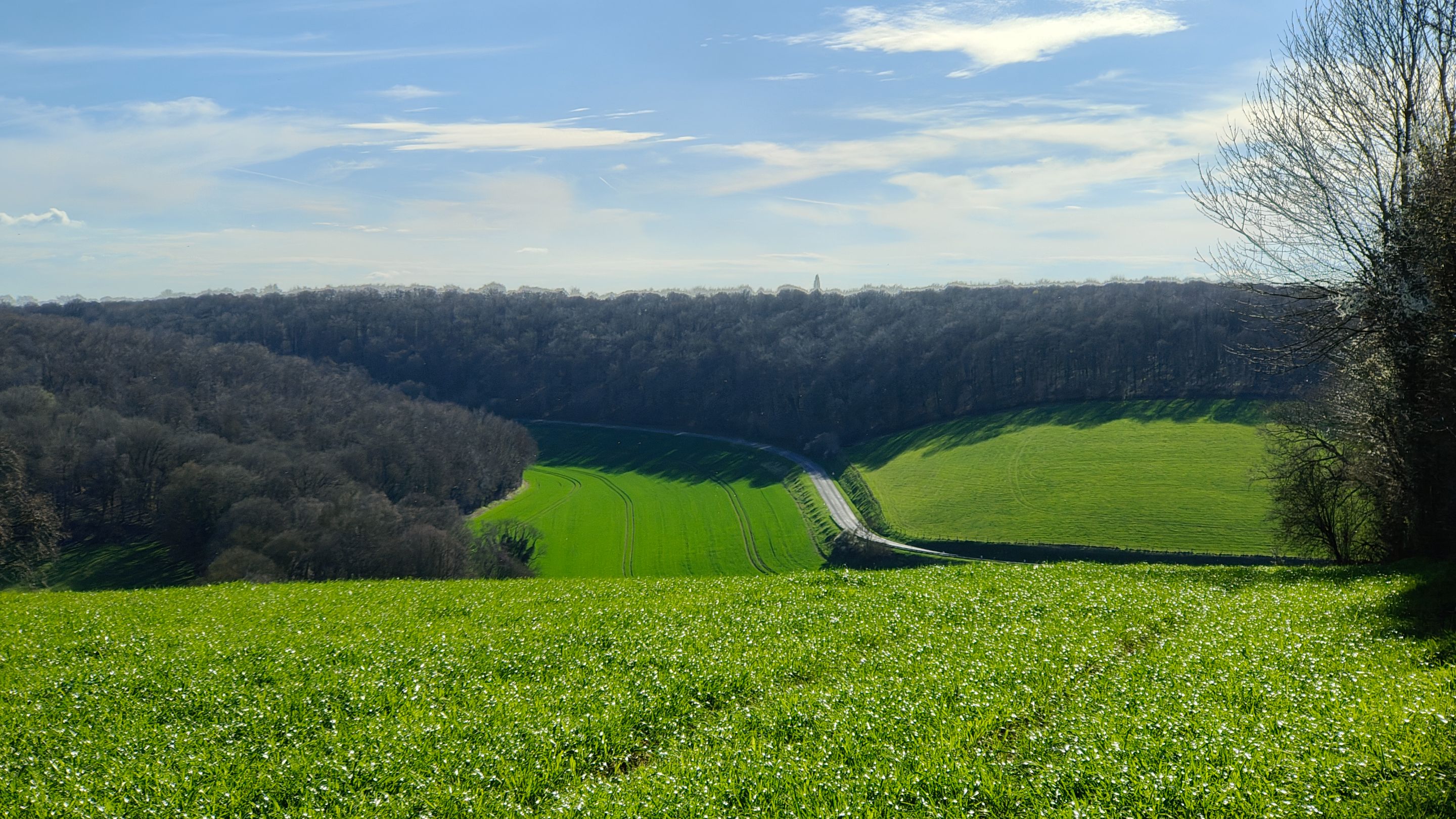
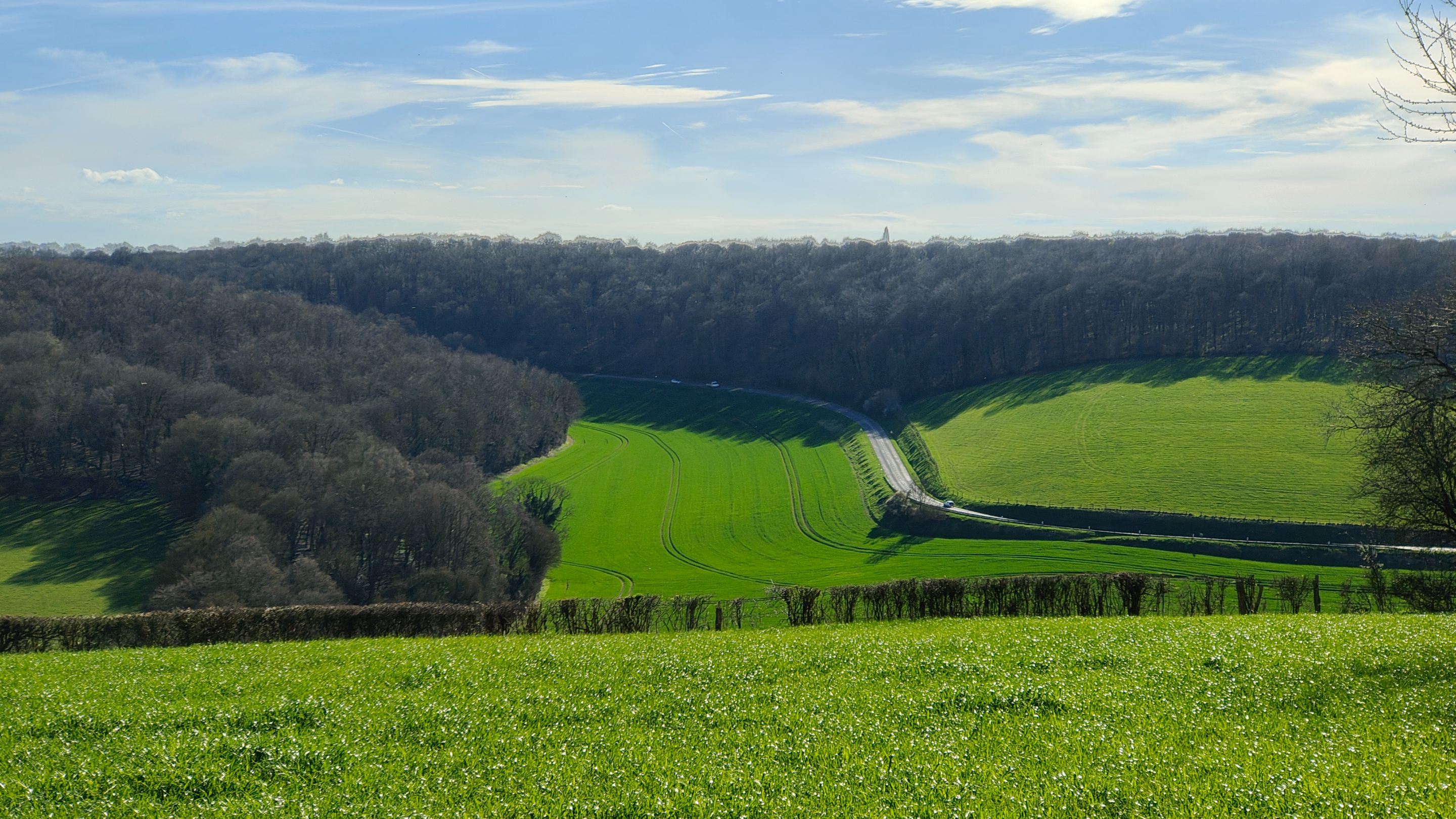
Now, we reached the section of the walk that climbed sharply and quickly (+250 meters in less than 500 meters). But it offered us some beautiful panoramas, making it well worth the effort.
It's at times like these that I wish I had a paraglider on my back to take off. I plan to try it one day, but there's no point in saying "I think I'll do it." What's necessary is to actually do it. Otherwise, we don't move forward and spend our time imagining another life instead of living our own.
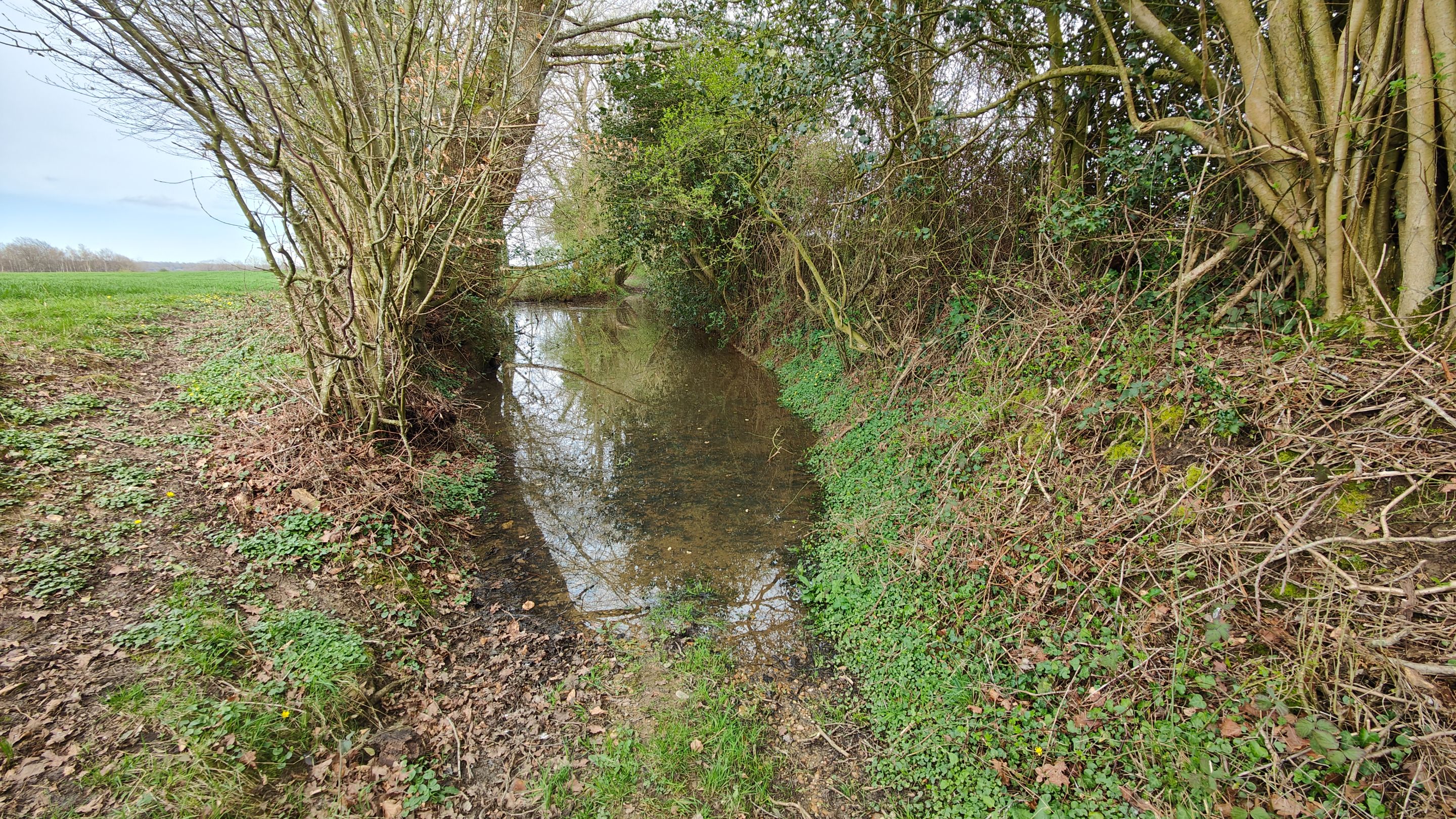
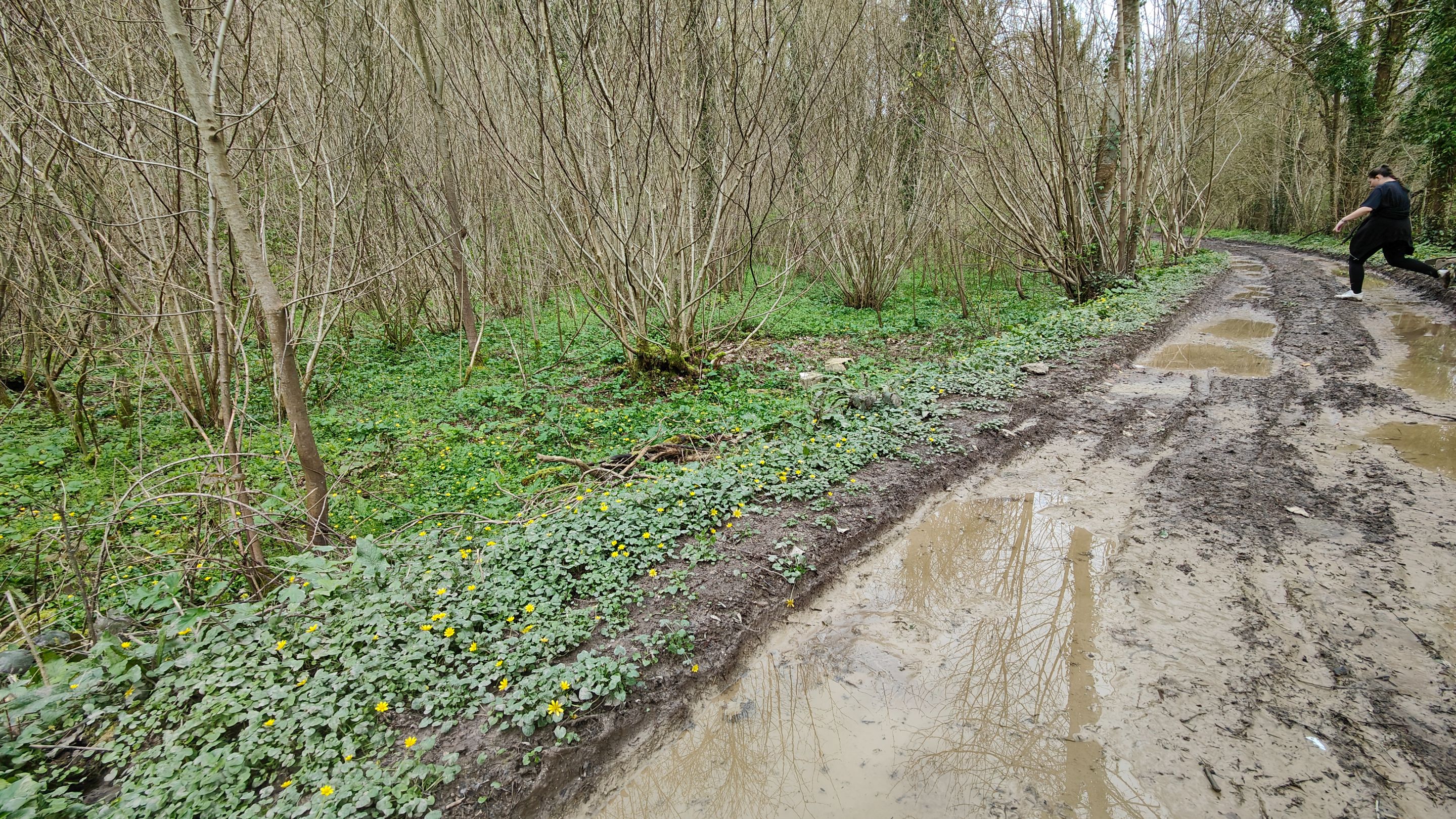
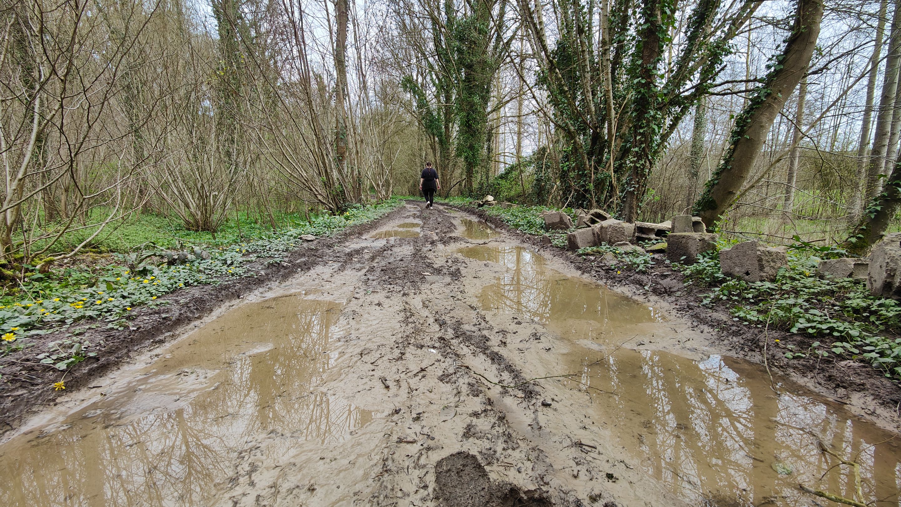
The person who created this hike might have imagined we had a canoe on our backs. I don't think so. However, this place was quite curious. It was indeed the path, but completely flooded.
Yet, we were on a plateau, the highest point of the hike. Nothing could overflow here. This made me think there must be a water source underneath.
Here, we were halfway through the hike. So we had almost walked 8 km and were really starting to get hungry.
It was 12:30 PM when we parked the car. So, we could have eaten before starting to walk. But we wanted to eat in the middle of the hike. It allows for a break and divides the hike into two.
So, we started looking for a place to sit, making sure not to stray from our main path.
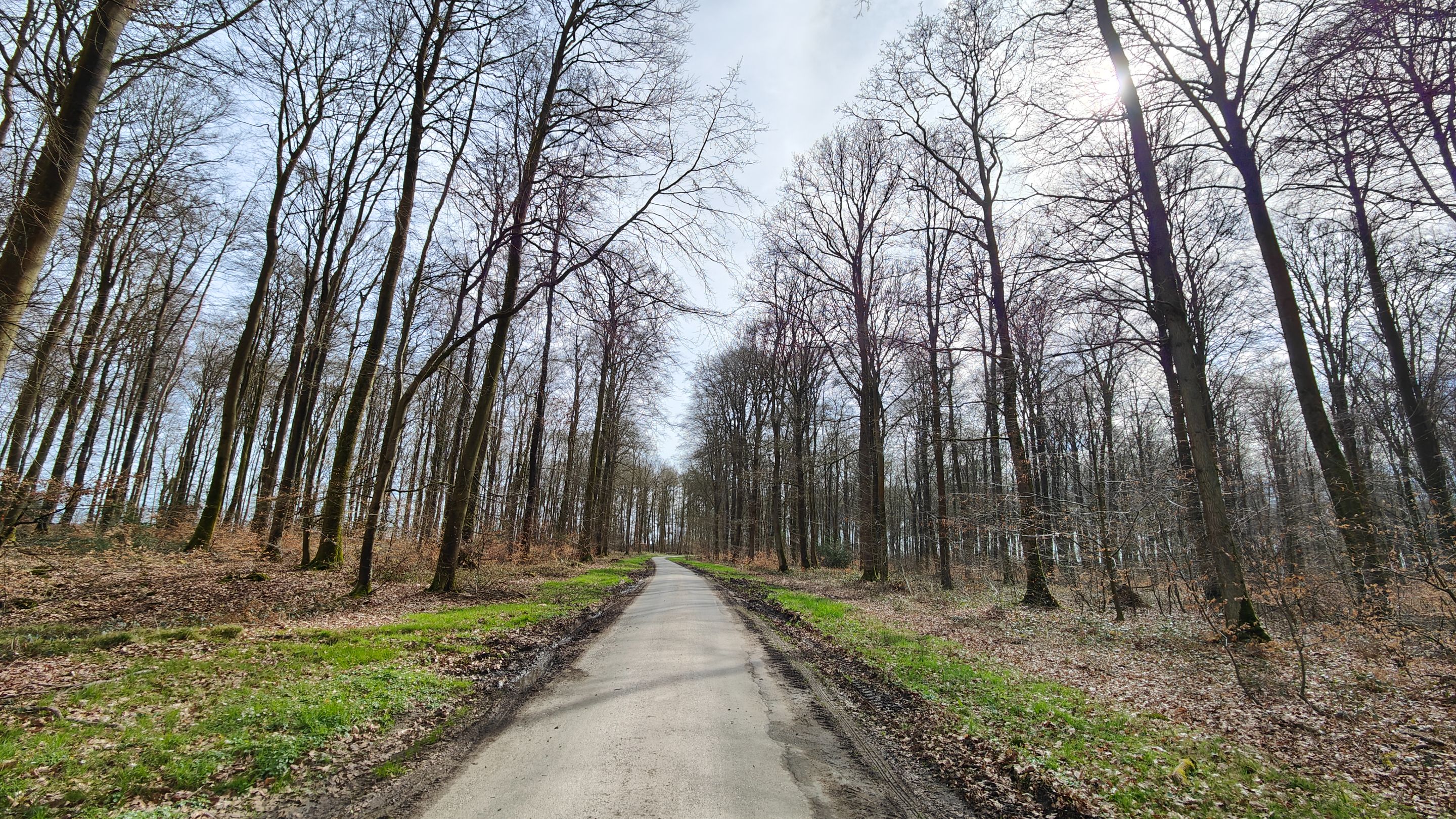
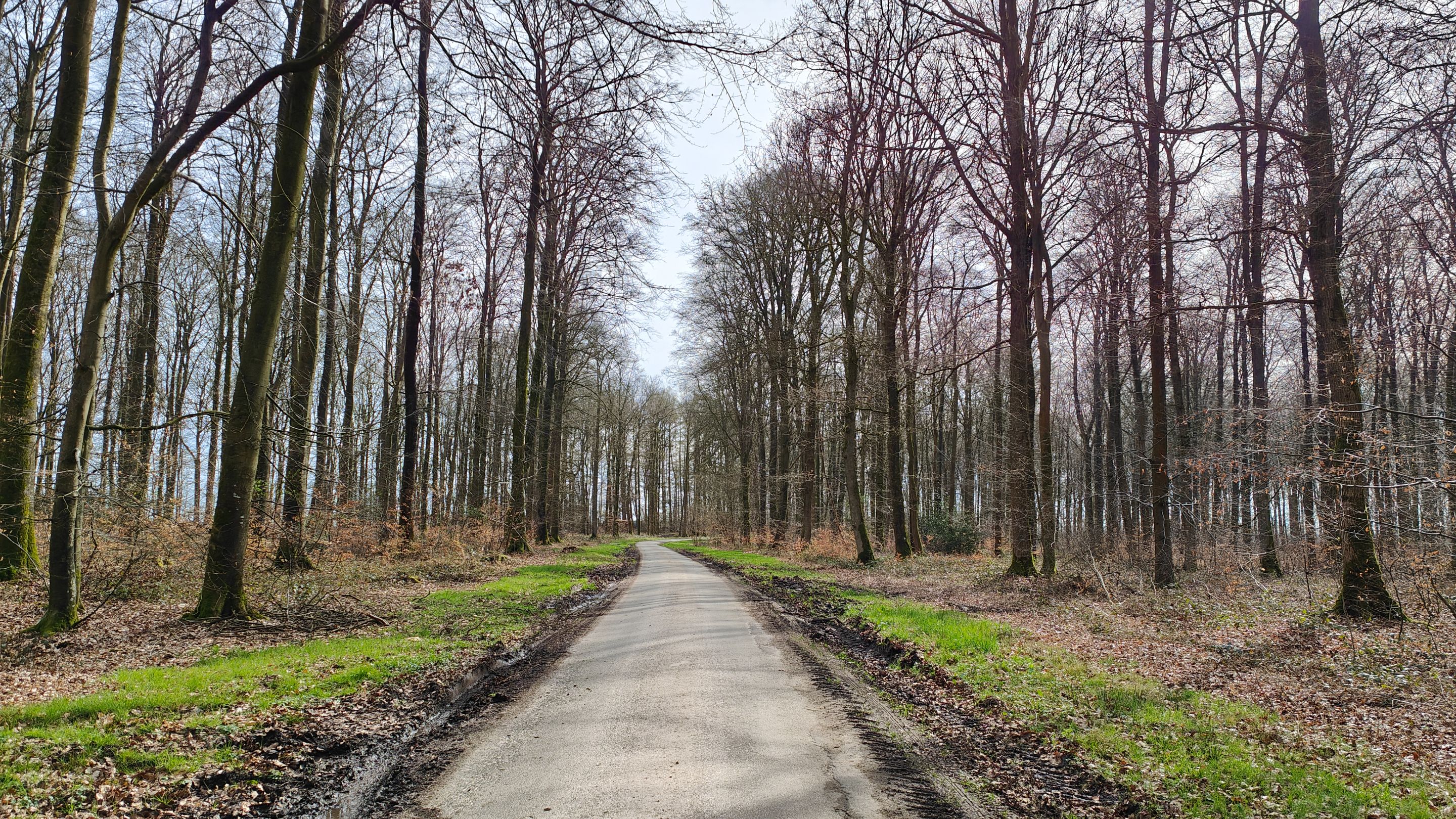
After another 30 minutes of walking, we arrived in this forest. For the record, this is the same forest from my WednesdayWalk last week.
In the last photo, it seems some hunters had used this sign for target practice.
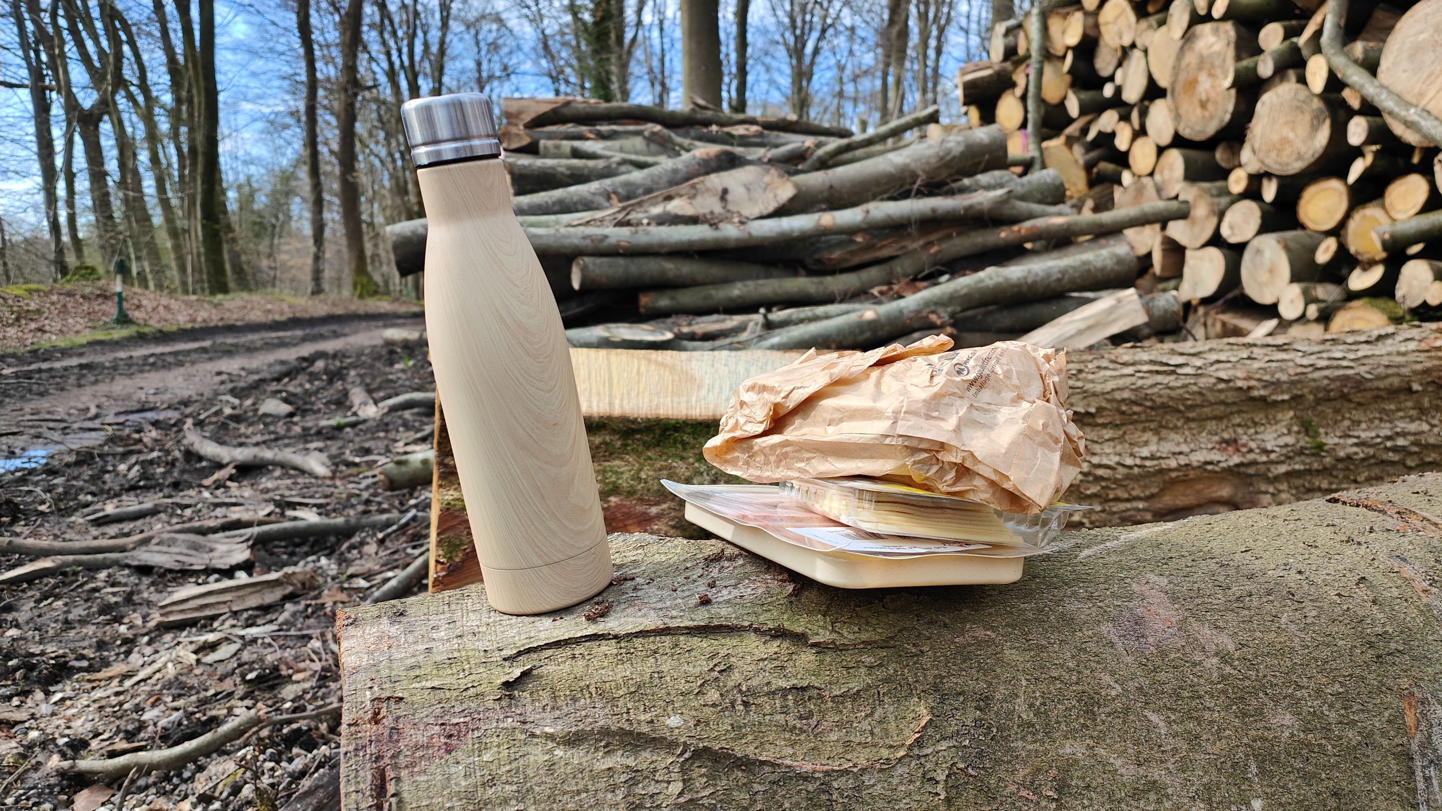
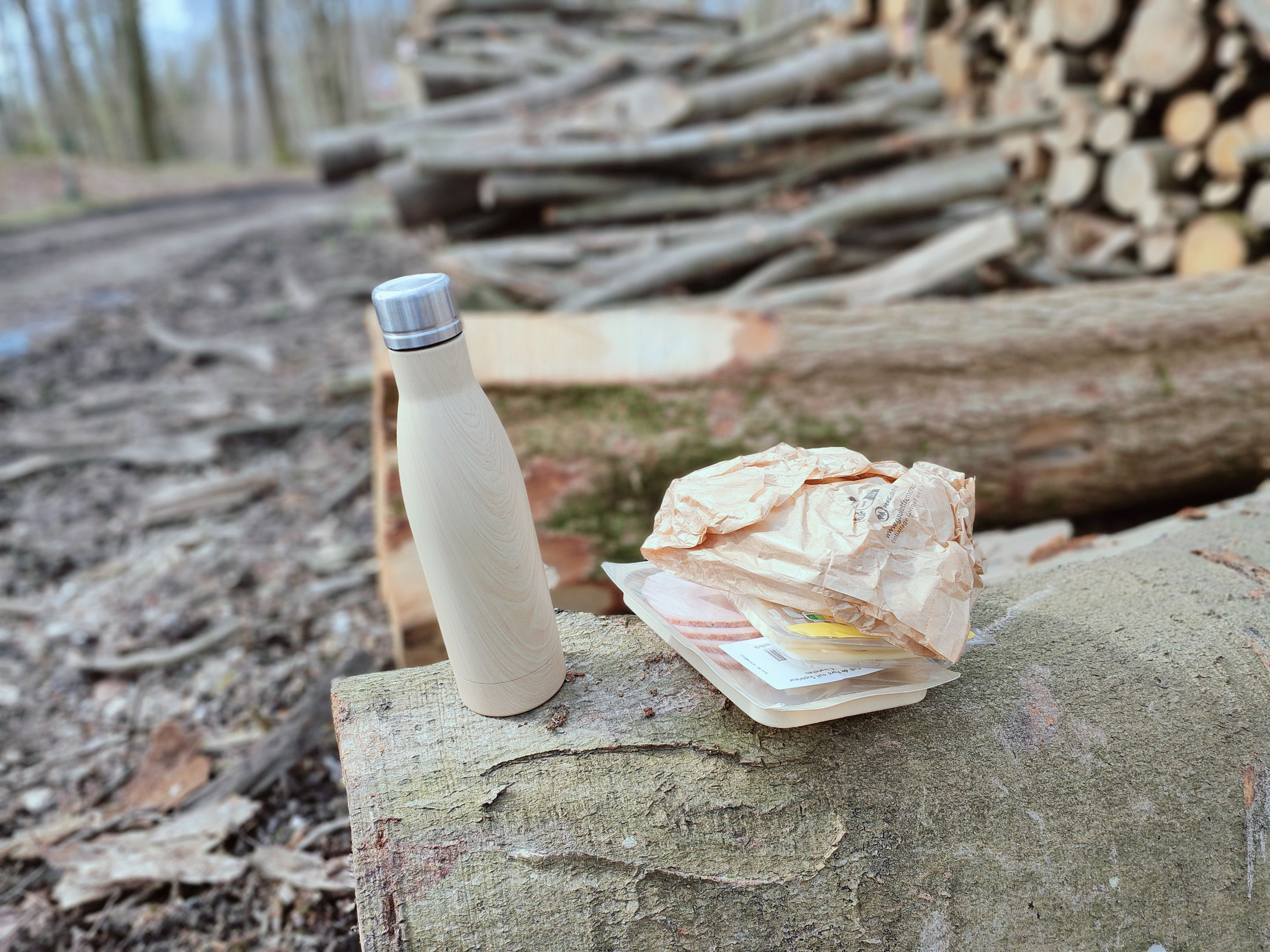
And it was here that we decided to have our meal, using a tree trunk as both seat and table.
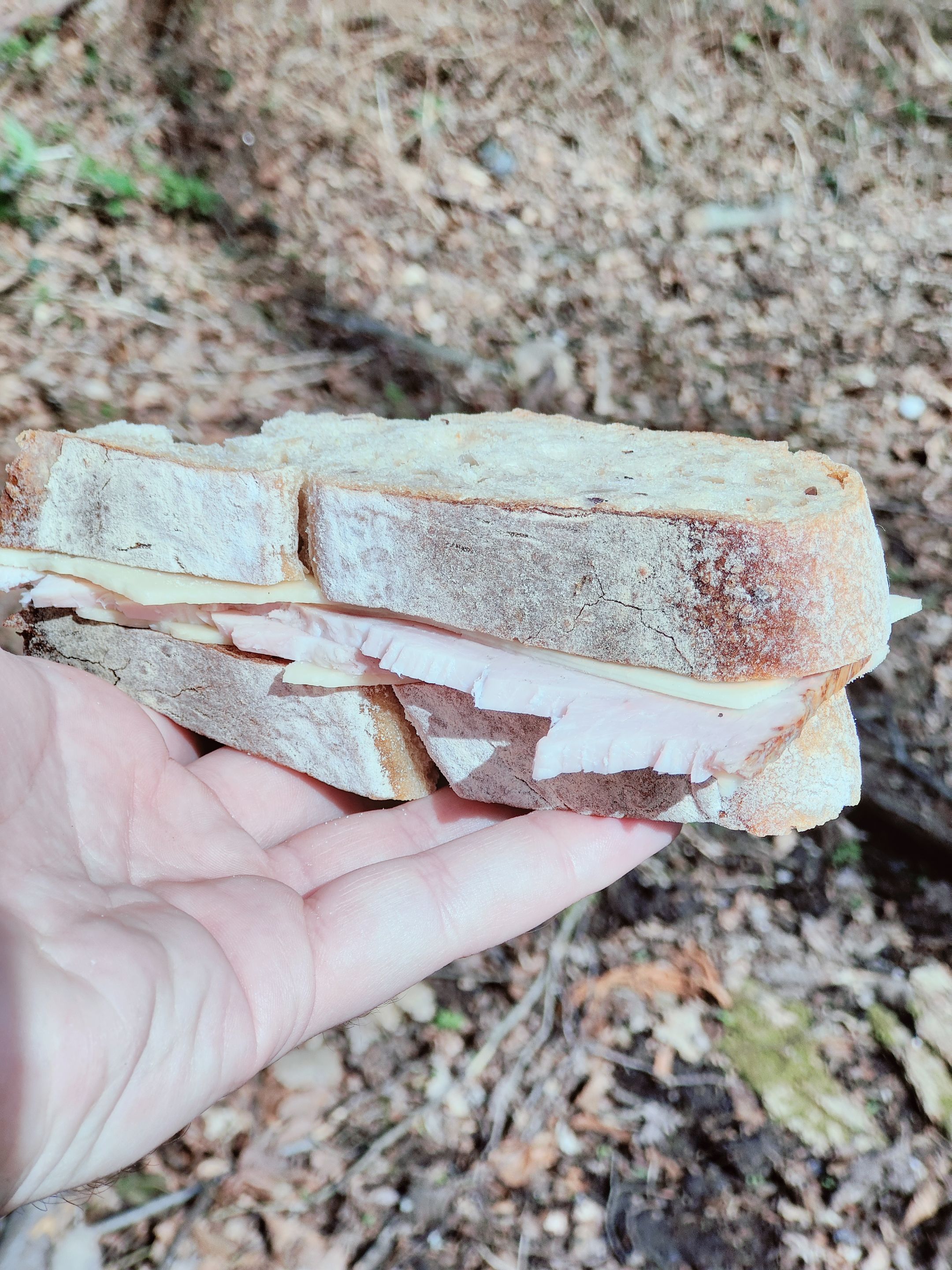
For the sandwich, nothing too complicated: - Homemade bread; - A bit of industrial cheese; - Two slices of pork (it's not from our butcher, but it's certified meat, so in theory, it aligns with our values).
After this well-deserved break, we continued on our way. Checking my hiking app, I realized we only had about 1 hour of walking left.
Actually, between deciding to find a place to eat and actually eating, we had walked a few kilometers.
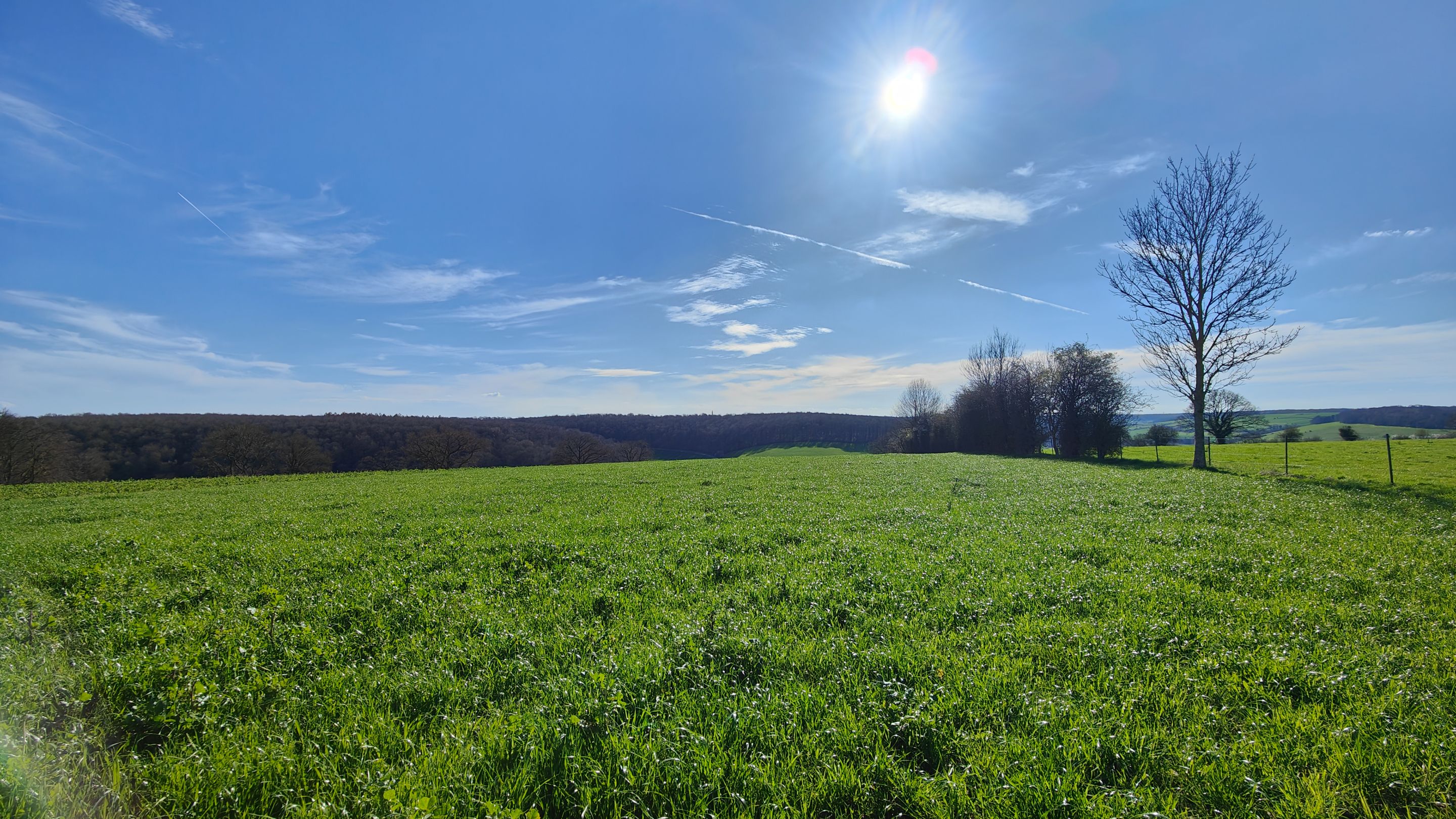
This news pleased my partner, who was starting to have sore feet. Another piece of good news was that it was now very sunny.
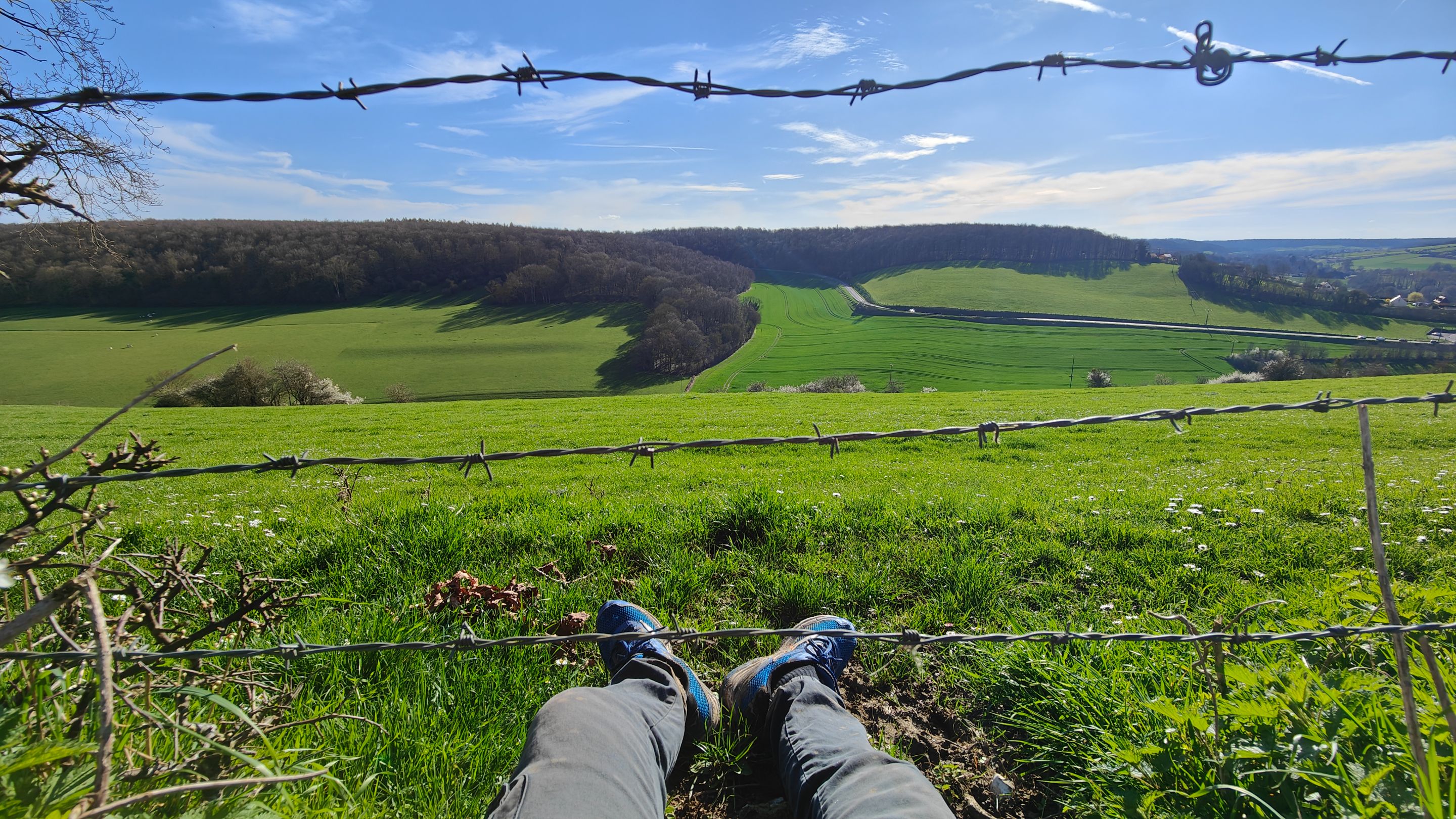
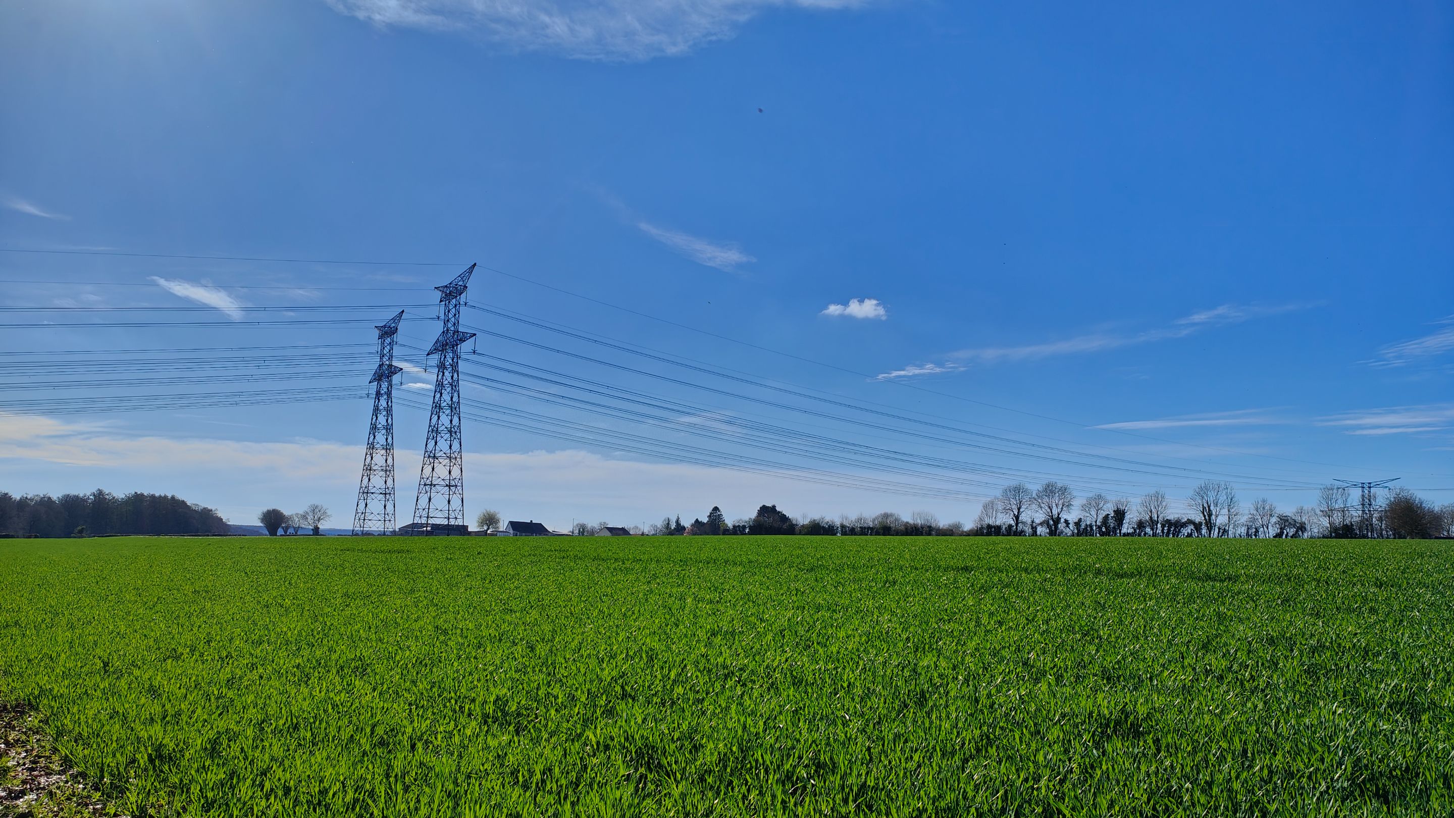
Eventually, the path led us into a field. Zooming in on my app, we indeed were in a field, but it affirmed this was the correct way. At that moment, the hike instructions indicated (at the end of the field, turn right).
As you can see in the second photo, at the end of the field there was only a hedge. So, we went under it, being careful not to get caught on the barbed wire. This gave the nettles a chance to tickle us and leave some marks.
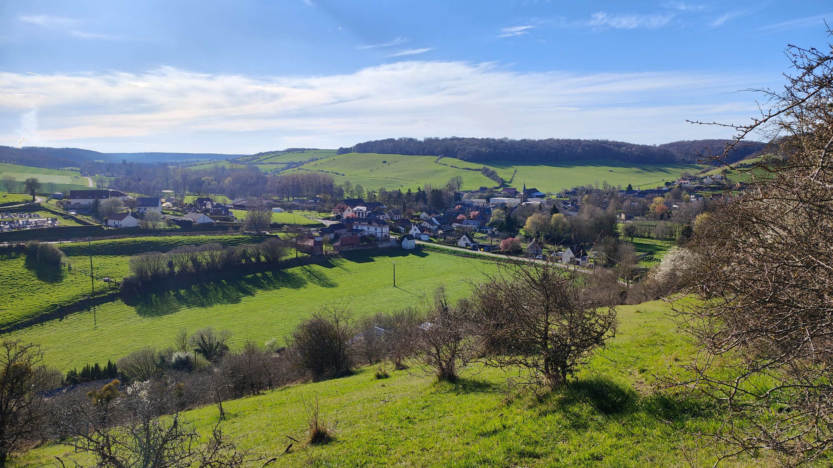
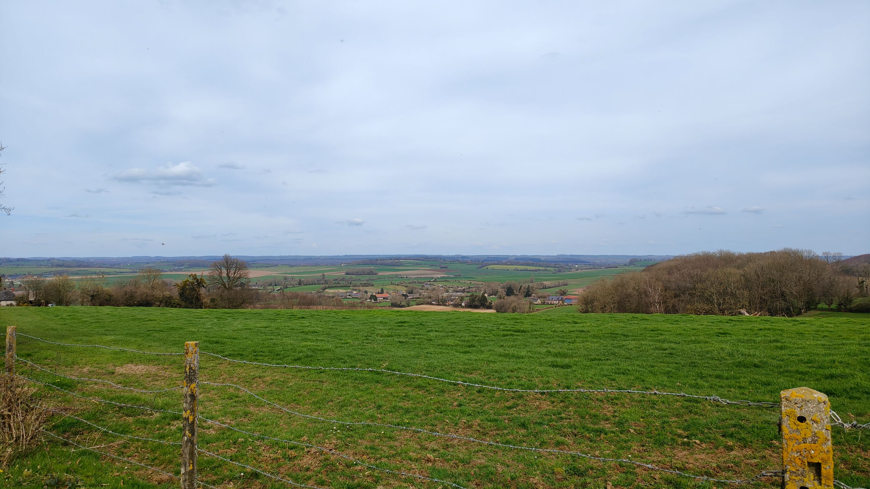
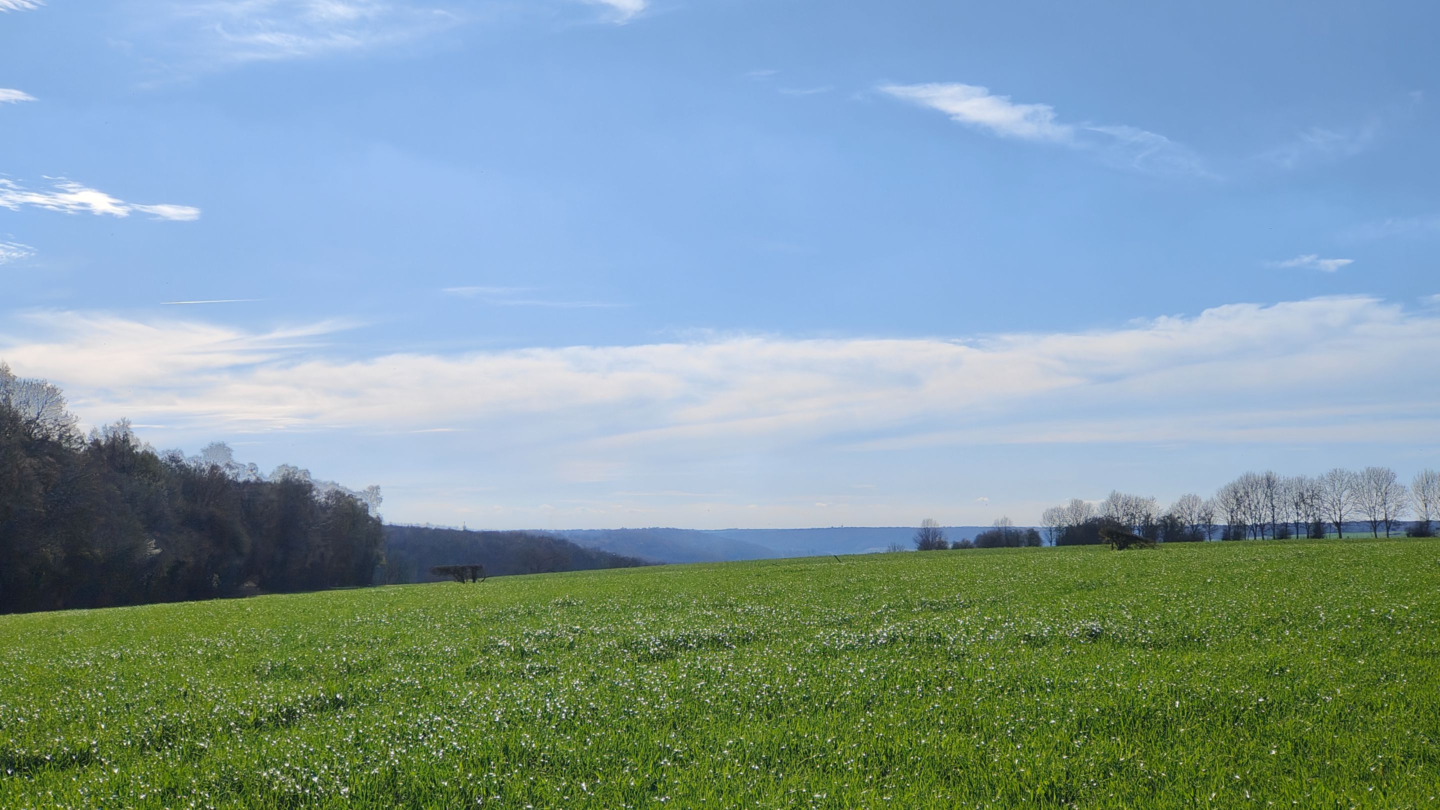
Following the invisible path provided by our app religiously, we descended the meadow for 2km, hoping not to encounter a herd of cows.
This allowed us to contemplate Nolléval from an aerial view.
Finally, we found a marked trail (the GR trail) that led us over a small barrier for walkers that cows cannot cross.
IMG20240320124219.jpg (https://files.peakd.com/file/peakd-hive/genesisledger/23xAXWDDQtjv3jmamo9bRJ99ancGwb1fTToPBzESz4C1vWTRdTqcy52C3uRyLgfwJJbJU.jpg)
IMG20240320164214.jpg (https://files.peakd.com/file/peakd-hive/genesisledger/243zZ8sqL7RqU9K5gYadAUwNafTSnUfaumPACA3ewsNbzJToyvdW17FCcYorMZsSCgxHX.jpg)
And there we were, after a little more than 4 hours of walking, back at the car, leaving behind us fond memories of this first day of spring.
As I explained at the beginning of the article, my partner and I worked until 2 AM on our freelance missions so we could enjoy this walk the next day without being overwhelmed with work afterwards.
We thought we would be exhausted after the hike, but it turned out not to be the case. On the contrary, we were even invigorated. After enjoying the sun for more than four hours, we were brimming with energy.
To be entirely honest with you, I am convinced that if we hadn't undertaken this hike, we would have ended our workday with a severe headache and in a state of advanced to very advanced irritation ^^. However, getting some fresh air, enjoying nature, and walking several kilometers truly benefited us.
Thank you very much for reading this far. I hope I succeeded in my mission to take you on a walk with me.
All photos were taken with my phone, and the English translation was done with DeepL.
Version Française
IMG20240320162845.jpg (https://files.peakd.com/file/peakd-hive/genesisledger/2458BYTj9Lb4oPtgDJKo9CBrF5DUUavpq1a4YttxpLMqXTWJES5n3YQhALnxLPzUyZqXw.jpg)
"20 mars".
C'est la date que j'attends chaque année avec impatience. Ca dépend des pays et des région, mais dans le nord de la France, c'est la date à partir de laquelle on a vraiment l'impression de revivre :
- Les nuits sont moins longues ;
- On peut se mettre en t-shirt ;
- Les paysages commencent à verdir ;
- On entend le bruit des tondeuses ;
- Les insectes polinisateurs bourdonnent dans nos oreilles ;
- ...
Cette année, je voulais fêter ça avec une balade plus longue que celles que je peux faire habituellement. J'ai trouvé celle-ci sur Internet, j'ai téléchargé le fichier ".gpx" et je l'ai importé dans ma toute nouvelle application de randonnée GPX Viewer Pro (7 EUR sur le PlayStore).
Oui, j'ai voulu investir dans une application de randonnée et celle-ci est vraiment bien faite.
Voici le tracé :
431189139_295003090100256_8455183477636535578_n.jpg (https://files.peakd.com/file/peakd-hive/genesisledger/23uFkxqibjFkq8mcrnktmmXA4yrH73iFjjV8GfPh9xwQpcTSVdf2RP2maWRy4GqWz4QZL.jpg)
Un peu plus de 15km de balade/randonnée au départ du petit village Nolléval en Normandie. Comme vous pouvez le voir sur la carte du tracé, il y a un peu de relief. Rien de bien méchant, ceux sont de simples collines, mais tout de même du +250 mètre en dénivelé.
Encore une fois, rien de bien impressionnant. Mais c'est surtout que le dénivelé positif s'est fait sur un tronçon très court de la balade donc c'était une montée intense. Idem pour la descente d'ailleurs.
Avec ma compagne, nous avons travaillé jusqu'à 2h du matin sur nos missions freelance pour pouvoir faire cette balade le lendemain et ne pas être surchargé de travail après la balade. Cela a son importance pour le suite.
Maintenant, place à la randonnée !
IMG20240320123621.jpg (https://files.peakd.com/file/peakd-hive/genesisledger/242Y5V18pnTBi6y4vtSJVwdhjgSDoNXP3ypWfXpzHBPWYDjLx1oLE8j61Rv4nP5Xd8i7k.jpg)
Nous avons posé la voiture sur ce petit parking communal. En face, une petite colline. Nous étions entouré de petites collines de ce style. C'est dur à voir sur les photos, mais d'après mon application de randonnée, chacune de ces colline à un sommet culminant à environ 200 mètres.
![IMG20240320123716.jpg](https://files.peakd.com/file/peakd-hive/genesisledger/23uaMF