What lies behind the lofty mountains? To find the answer to this question, adventure lovers conquered all the world's highest peaks one by one. Finally, one peak remained, Everest, and it was also summited in 1953. Perhaps Tenzing Norgay and Edmund Hillary wondered what lay behind this mountain, and surely, standing atop Everest, they saw that there were still many mountains to climb.
Similarly, in 2012, I wondered what lay behind the mountain visible from Manali. To find the answer, I ventured into the Pir Panjal and Dhauladhar mountain ranges, the Lahaul Valley, which stretches up to Baralacha La. I once hiked from Manali to see the end of this valley, but I got stuck at the Baralacha La mountain pass. A sudden snowfall forced me to pitch a tent at the top.
I made it out safely, but a thought lingered in my mind: what lay beyond. To find the answer, I cycled to Leh in 2014. I crossed Rohtang Pass, Baralacha La, Naki La, and Lachung La. Each day, I crossed mountain passes over 5,000 meters, feeling like an explorer in the bosom of the trans-Himalayan landscape.
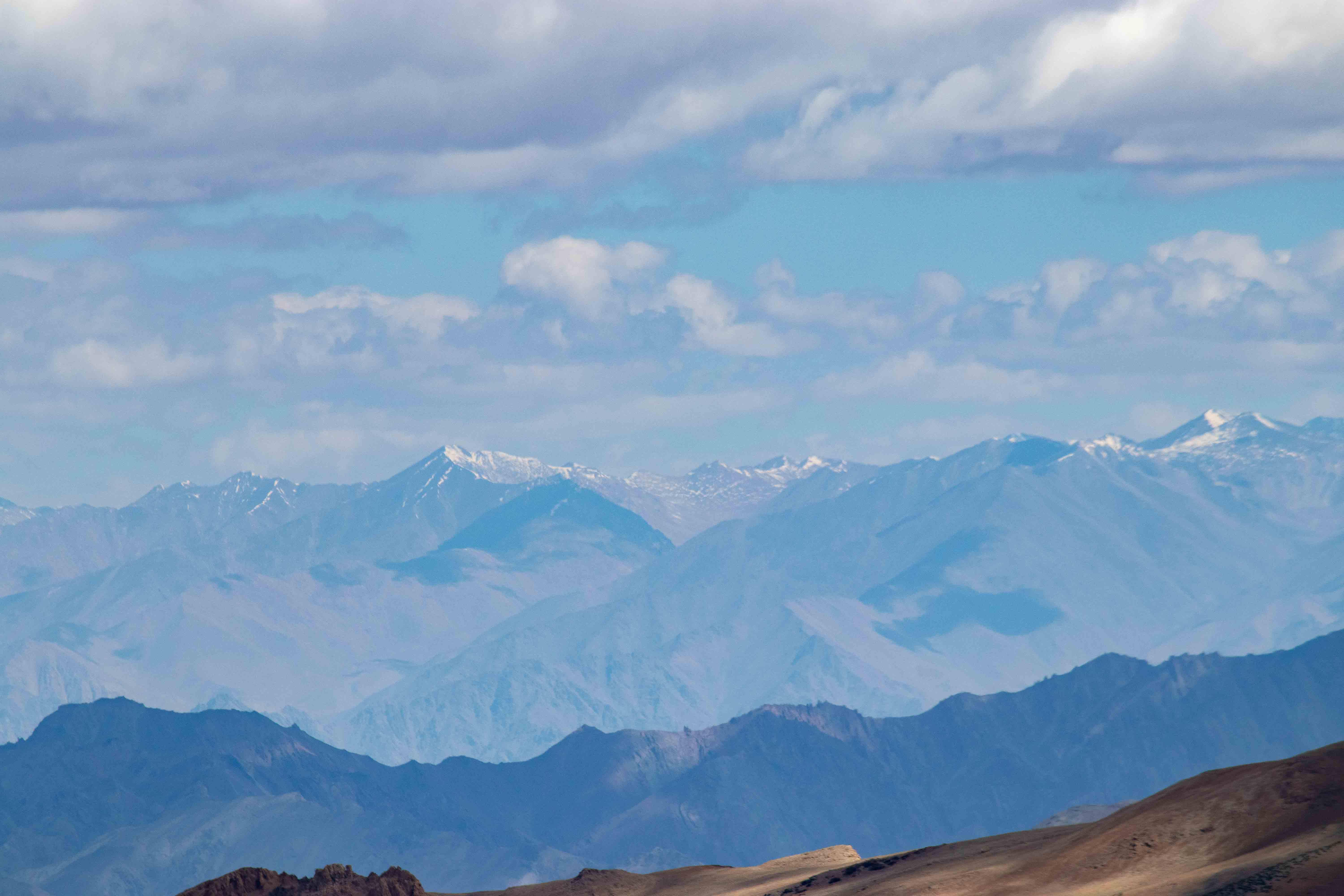
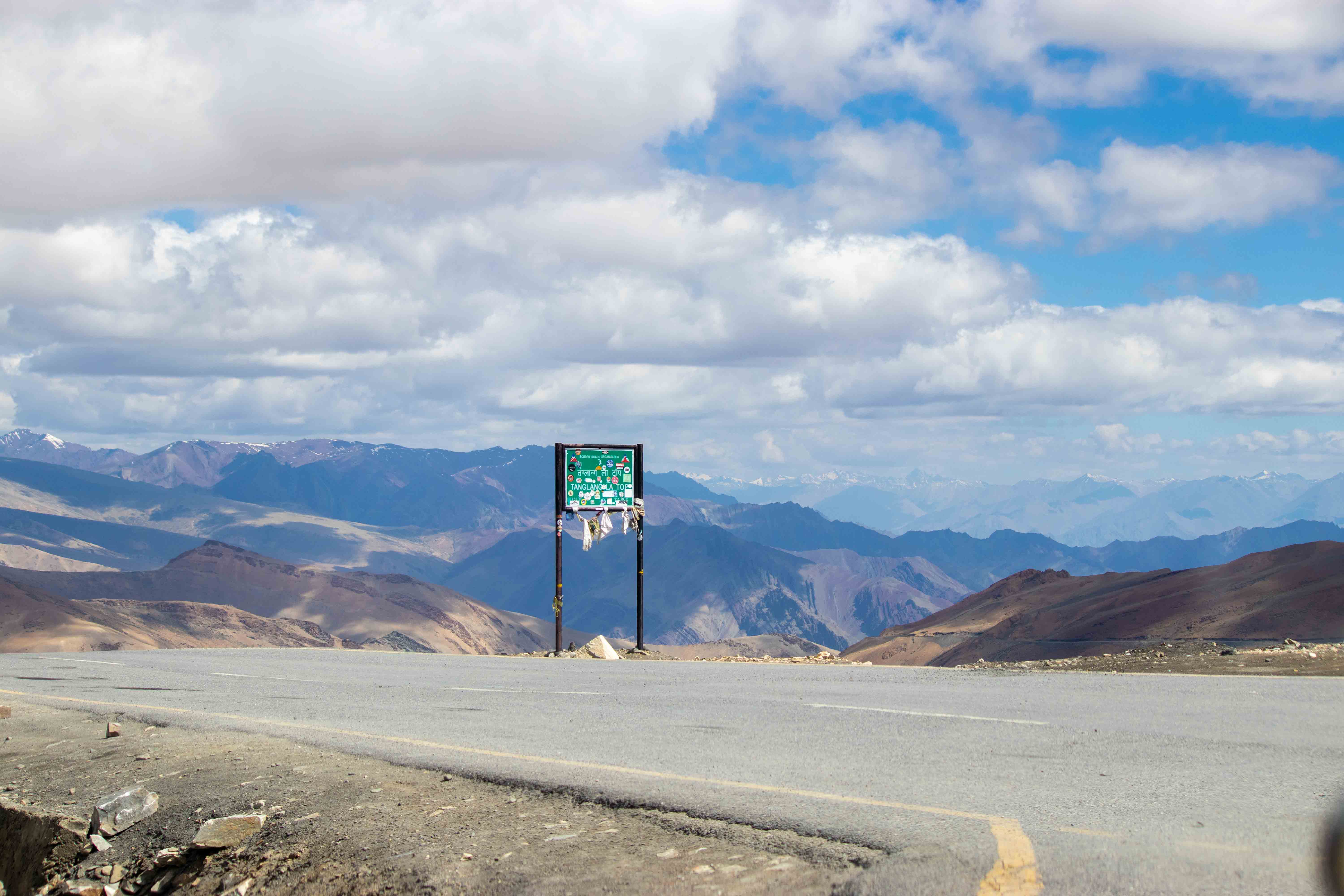
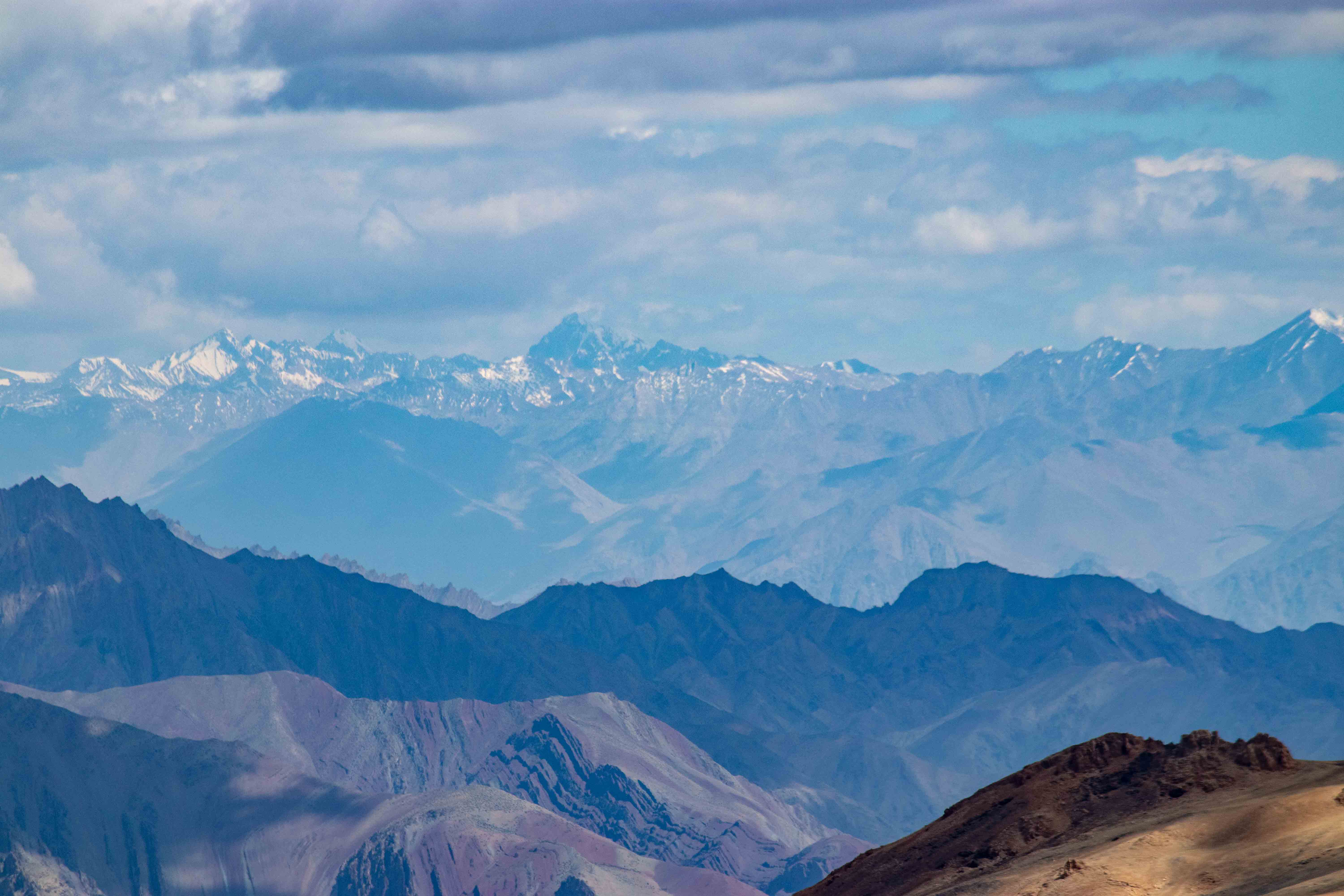
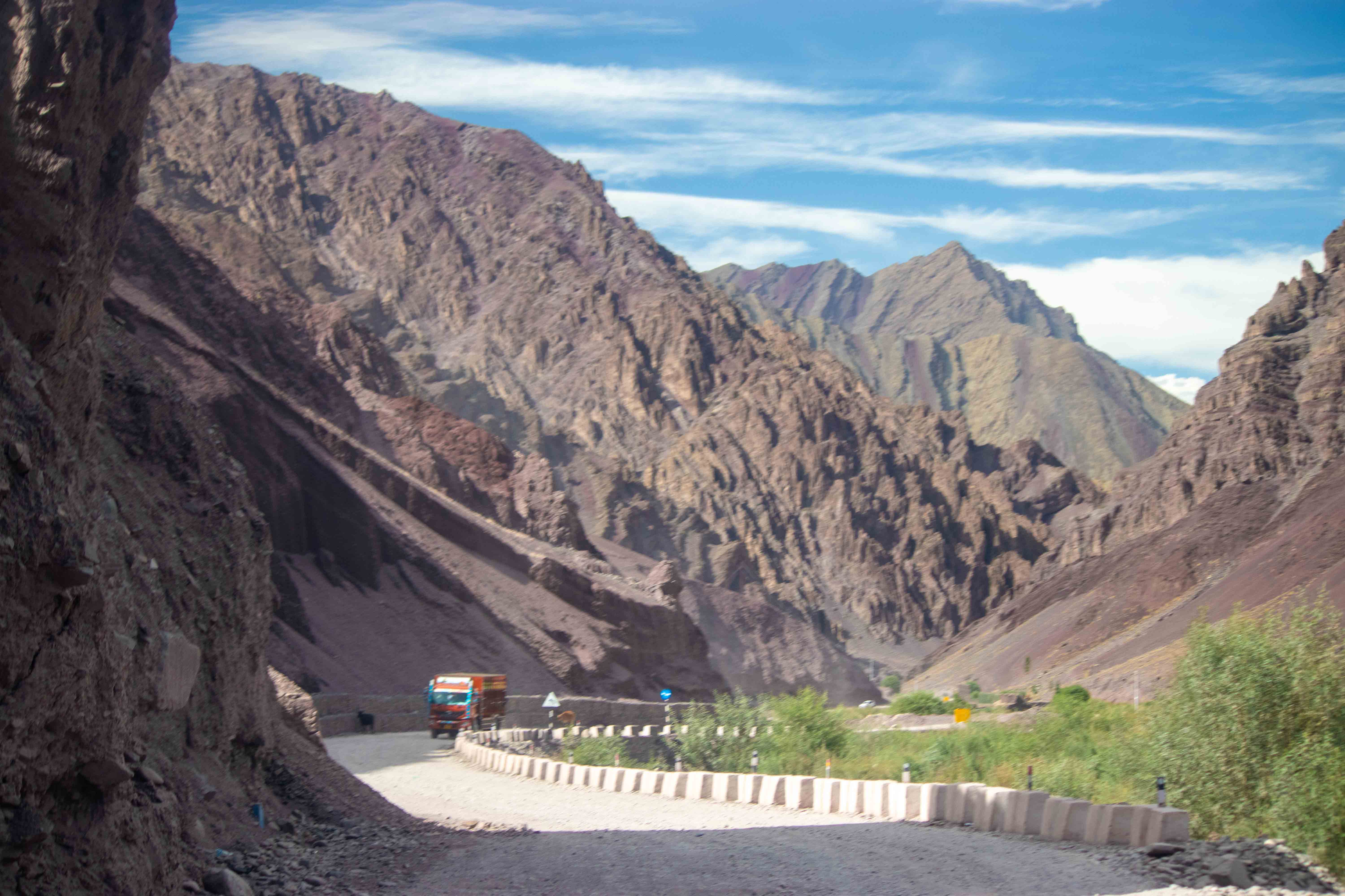
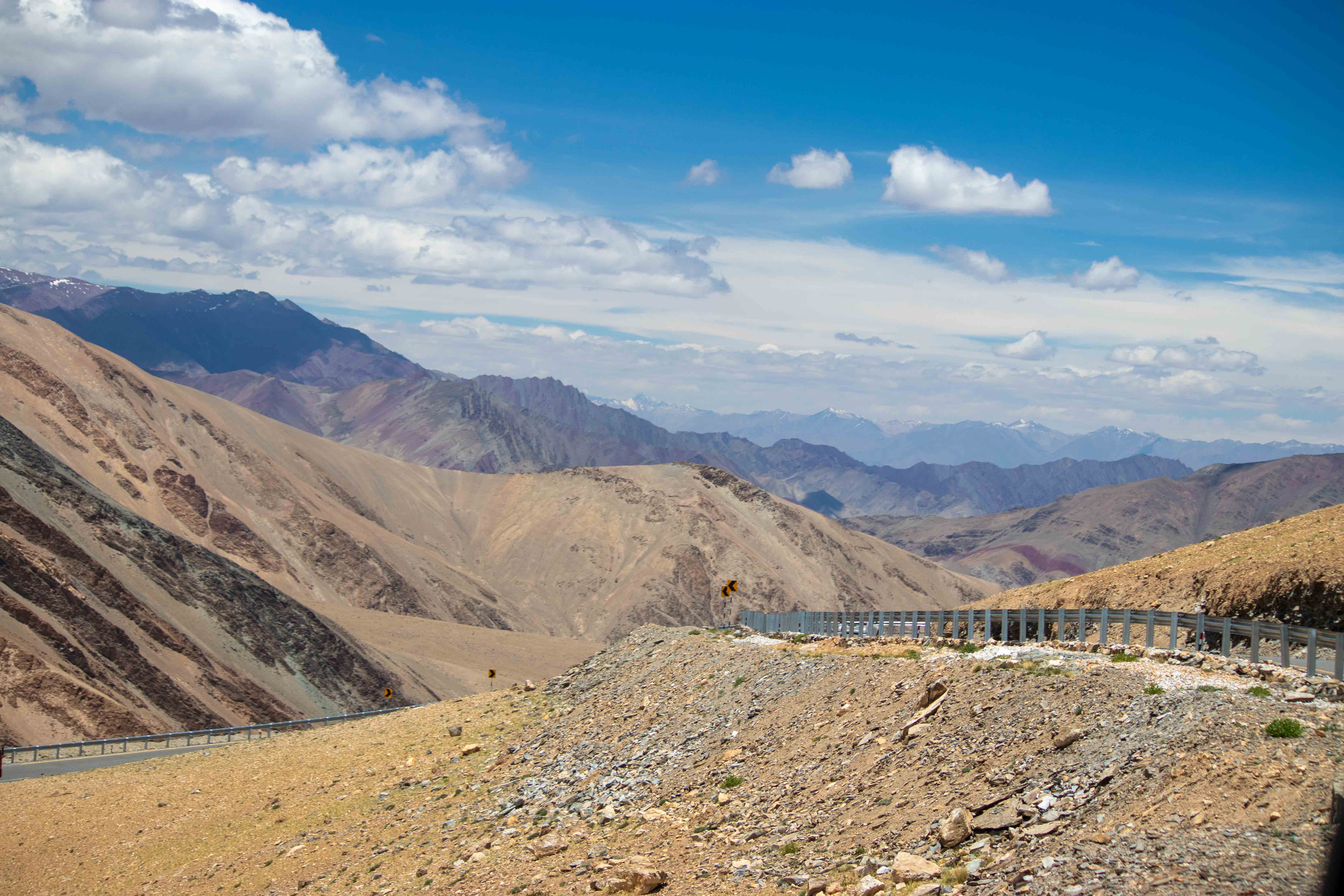
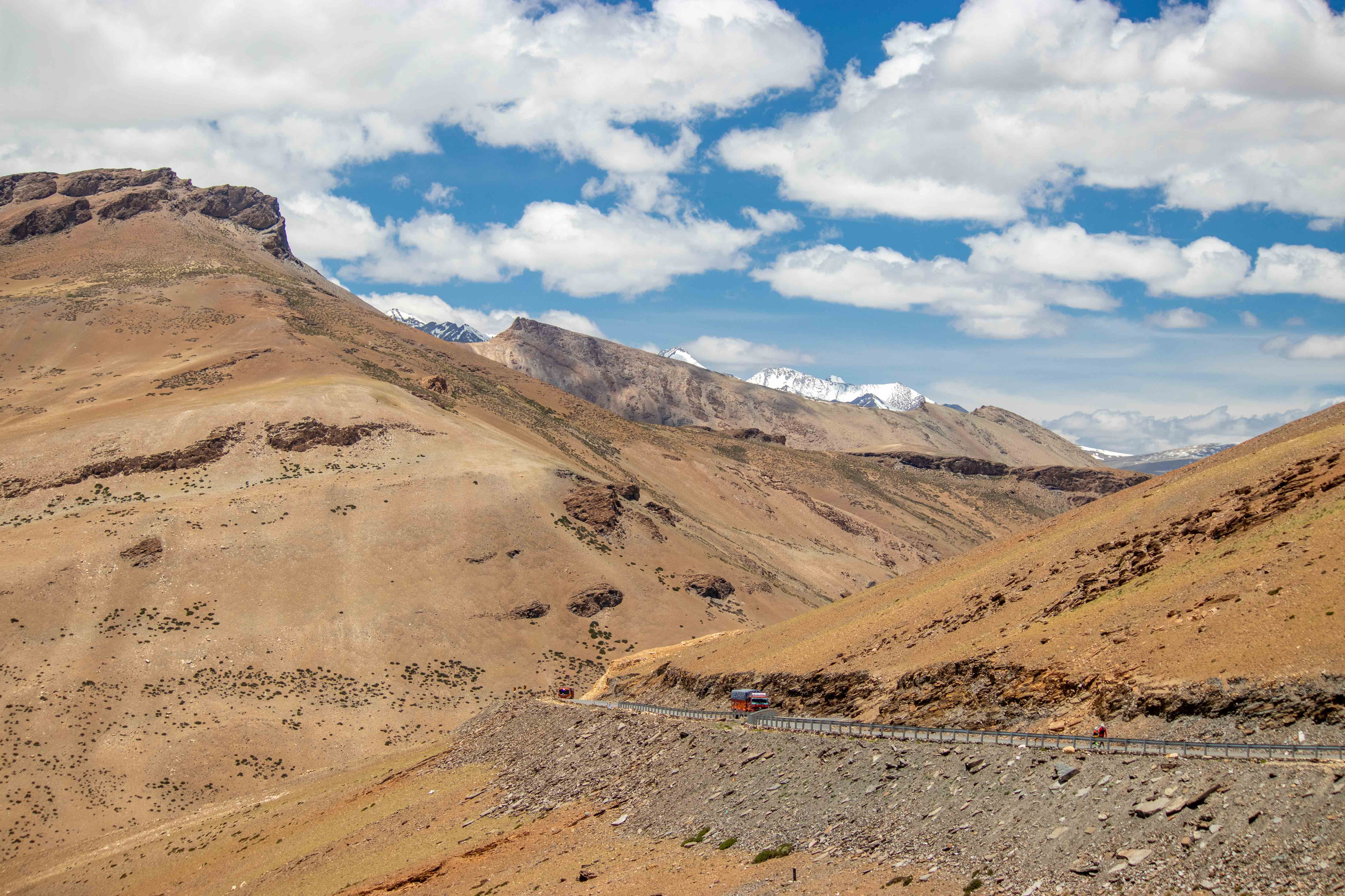
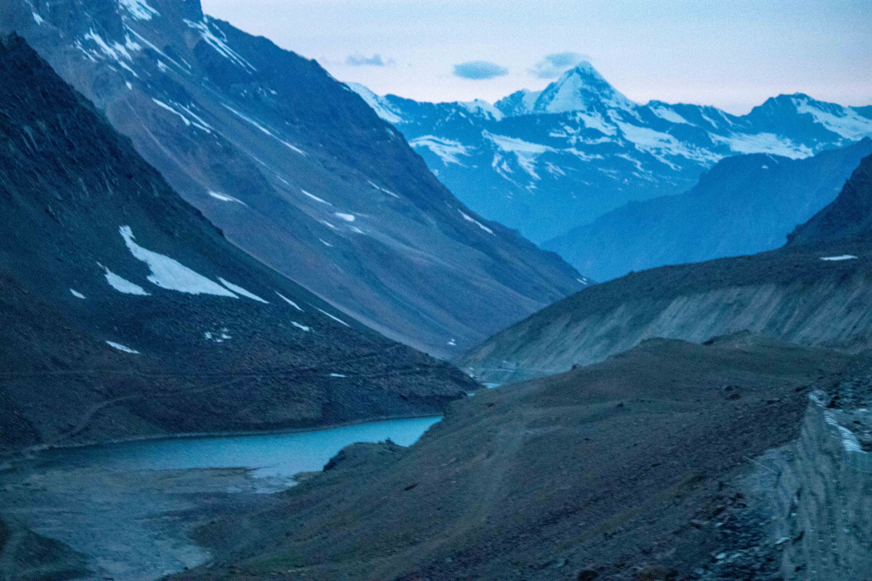
I stayed in Debring for two days, and both days, I sat outside in the strong winds, staring at the snow-capped mountains in front of me. There, Tanglang La is the last and highest mountain pass on this highway, at 5,319 meters. The reason for my two-day stay in Debring was a landslide on the mountain in front and light snowfall. I curled up in my sleeping bag that night, thinking that my questions would be answered tomorrow.
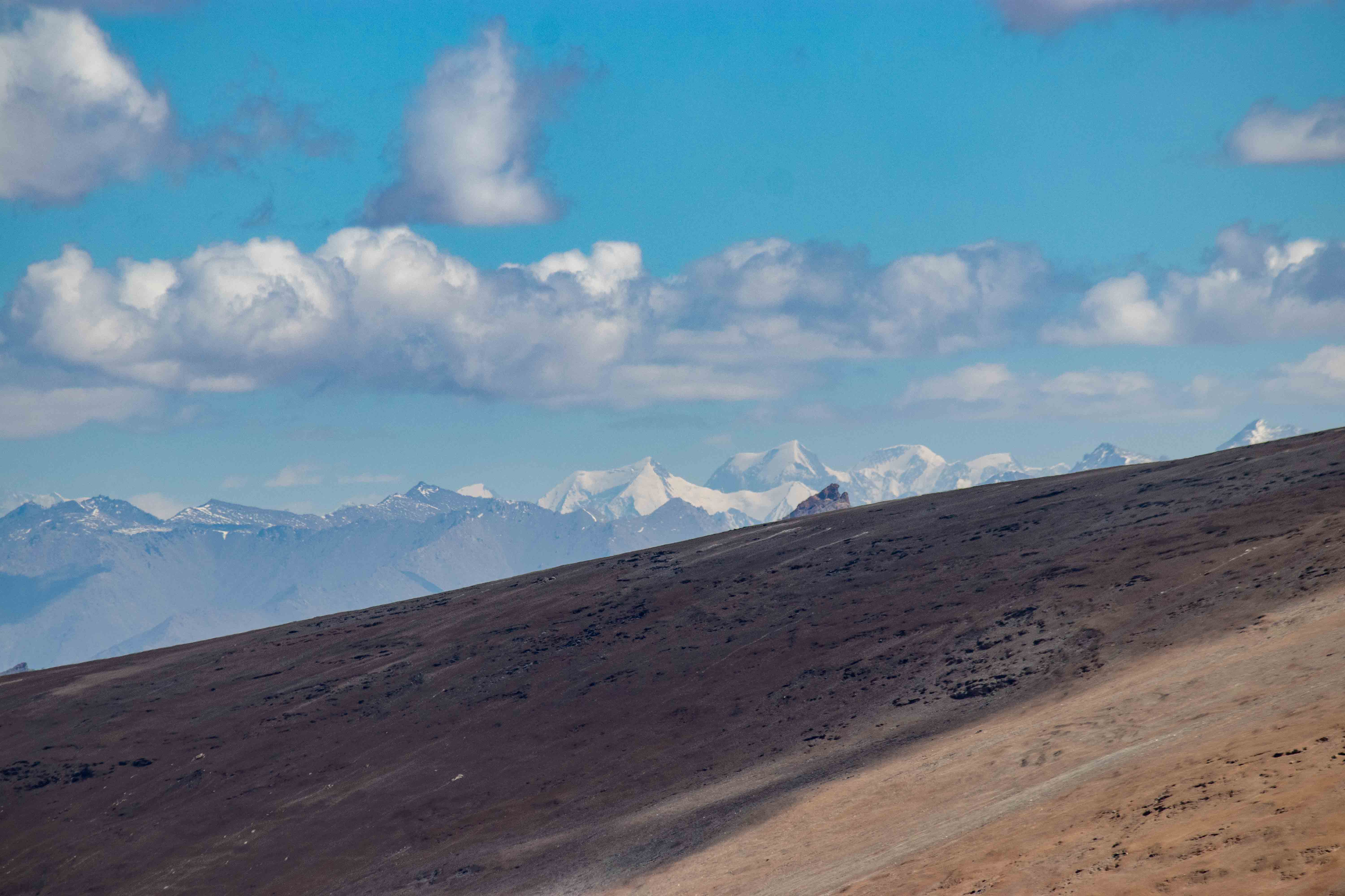
The next day, I set off, safely crossing the landslide zone, and then reaching Tanglang La Mountain, where a light snowfall had occurred yesterday, but it melted in the bright sunlight this morning. I stood at the top, seeking answers to my questions. I've found the answer, but new questions have surrounded me. I've traveled 400 kilometers so far, and the terrain is so desolate that greenery is barely visible.
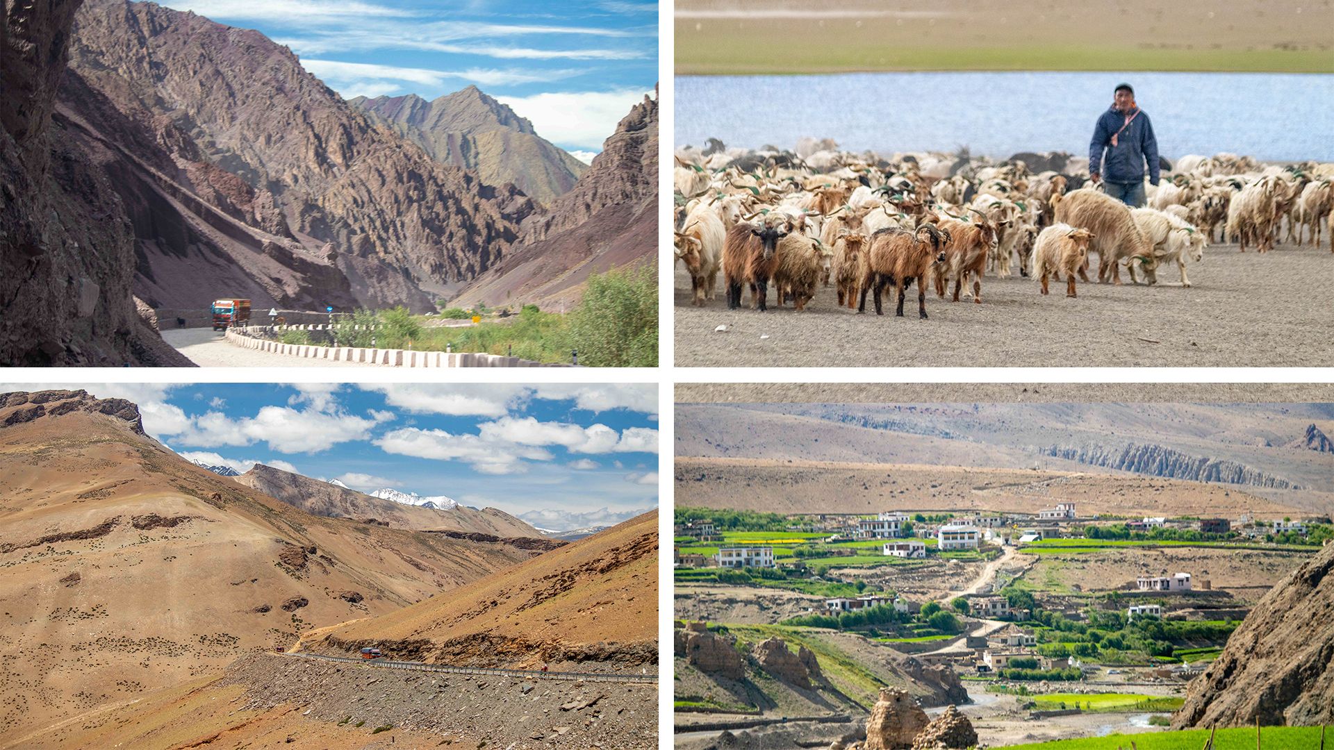
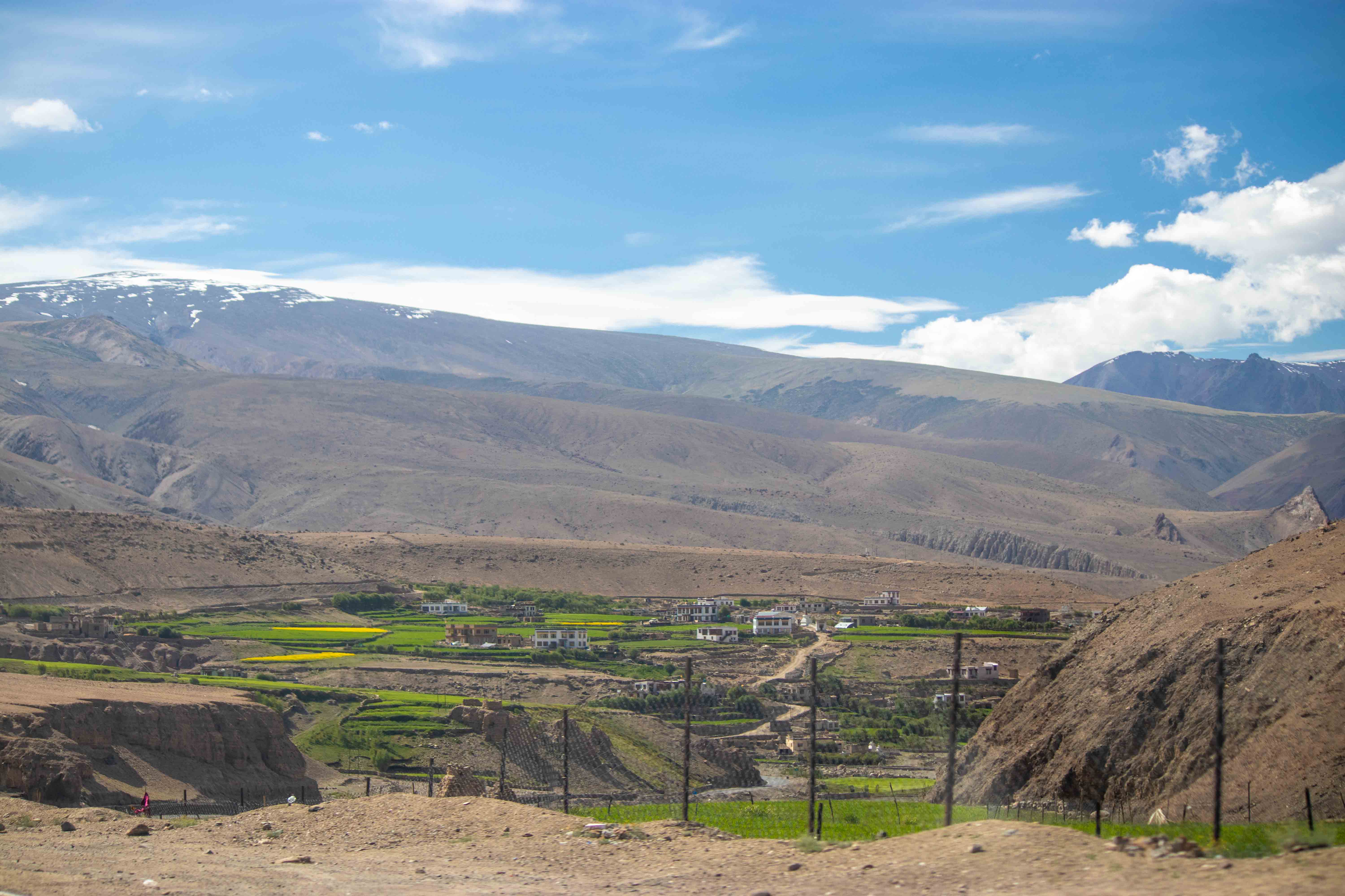
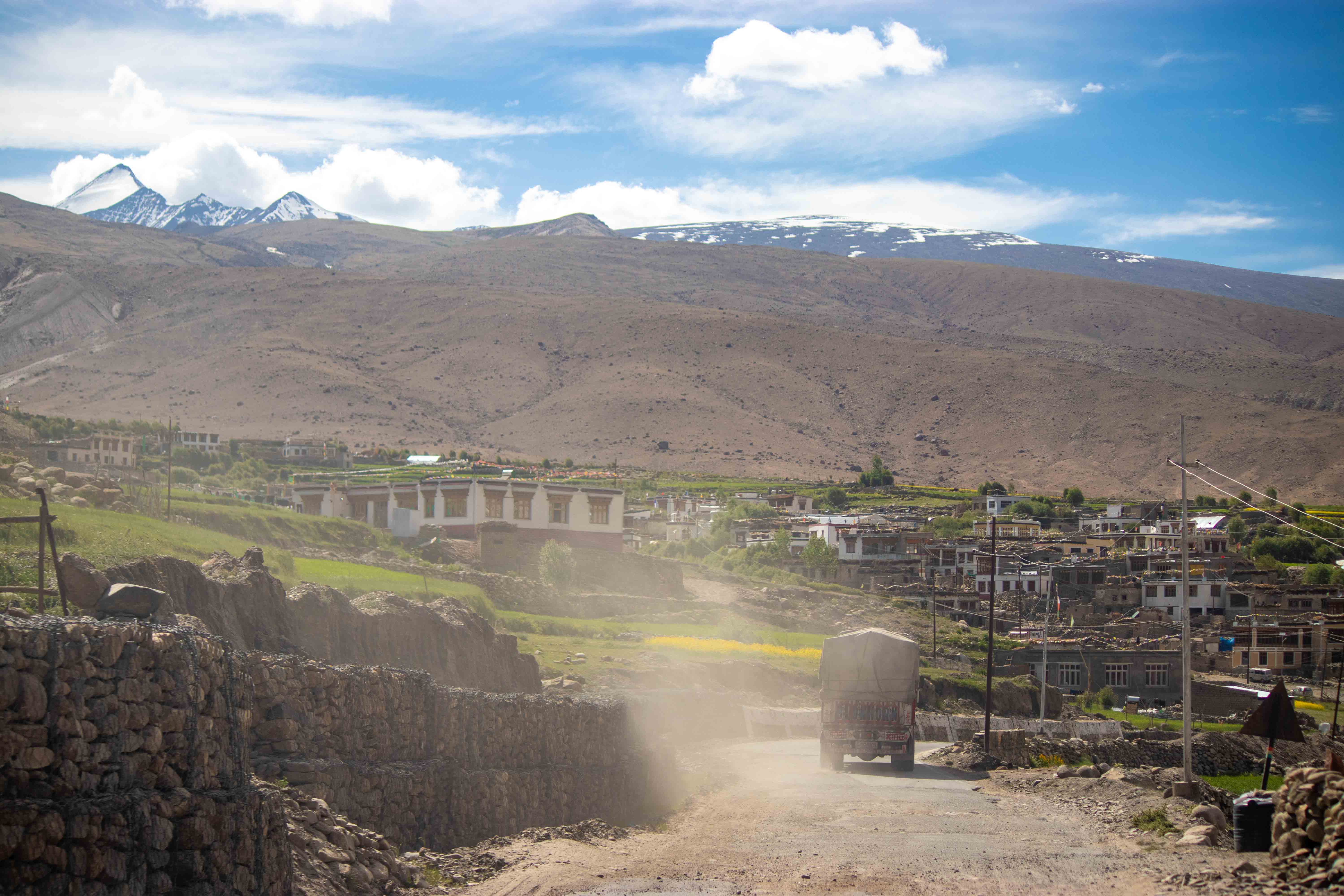
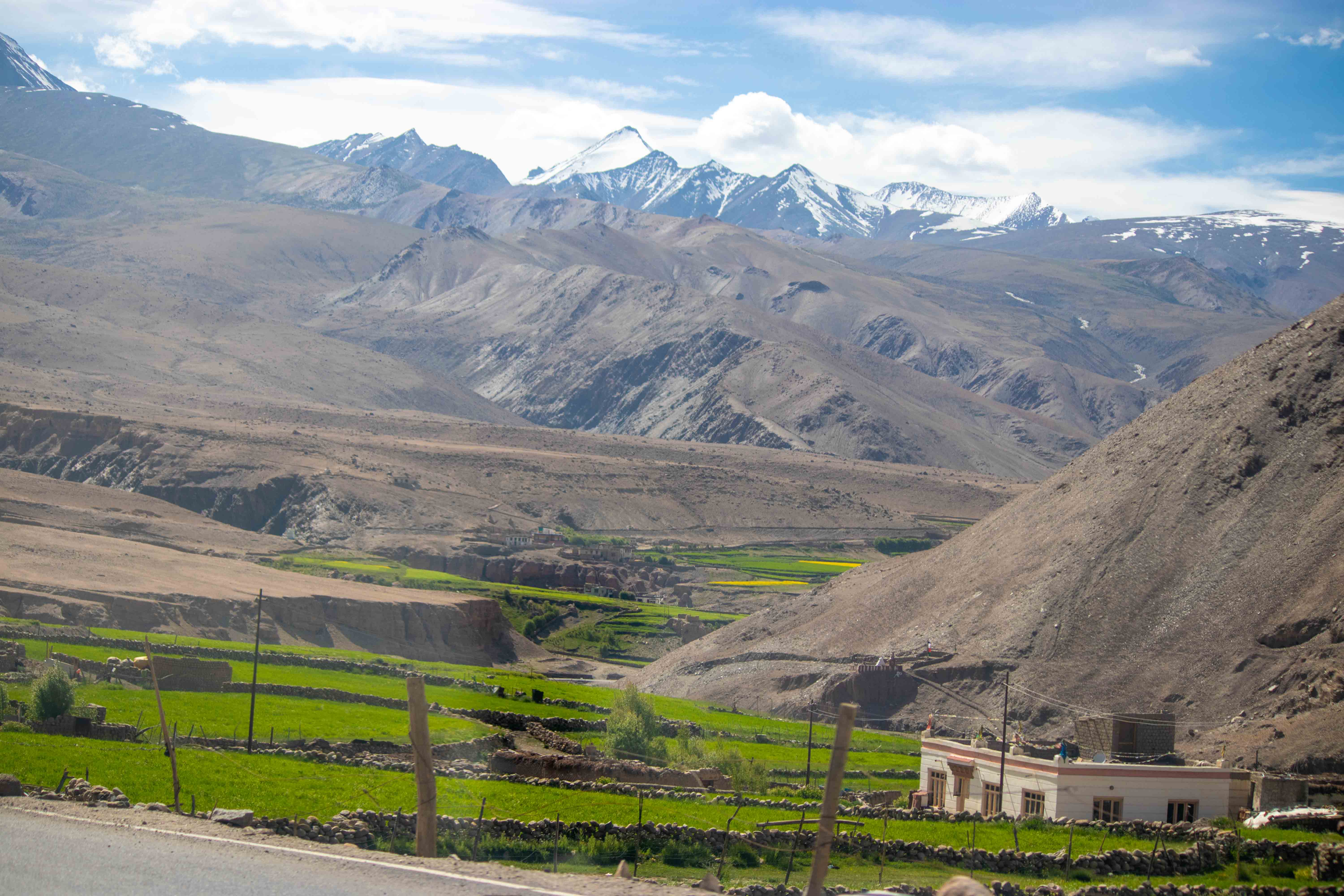
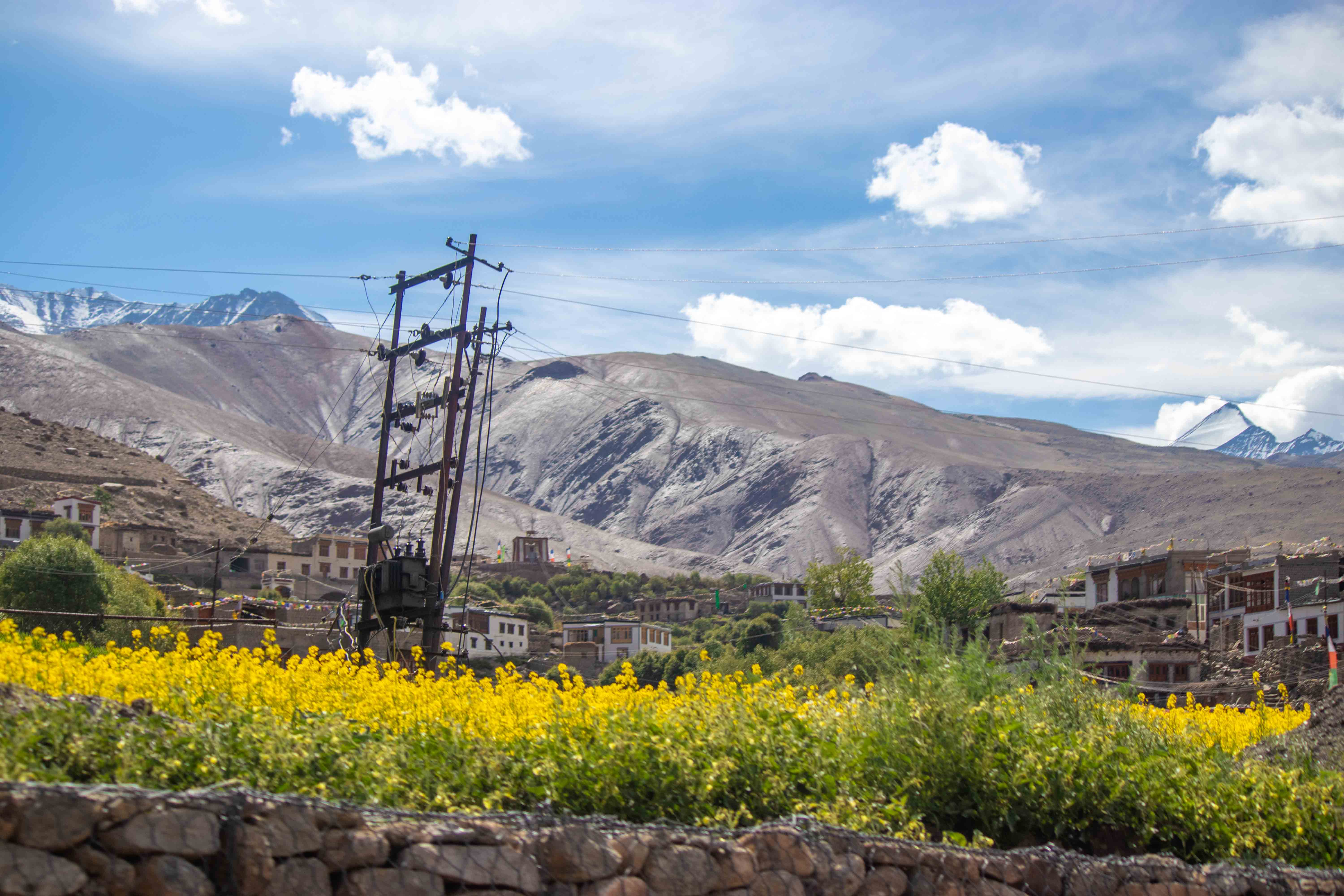
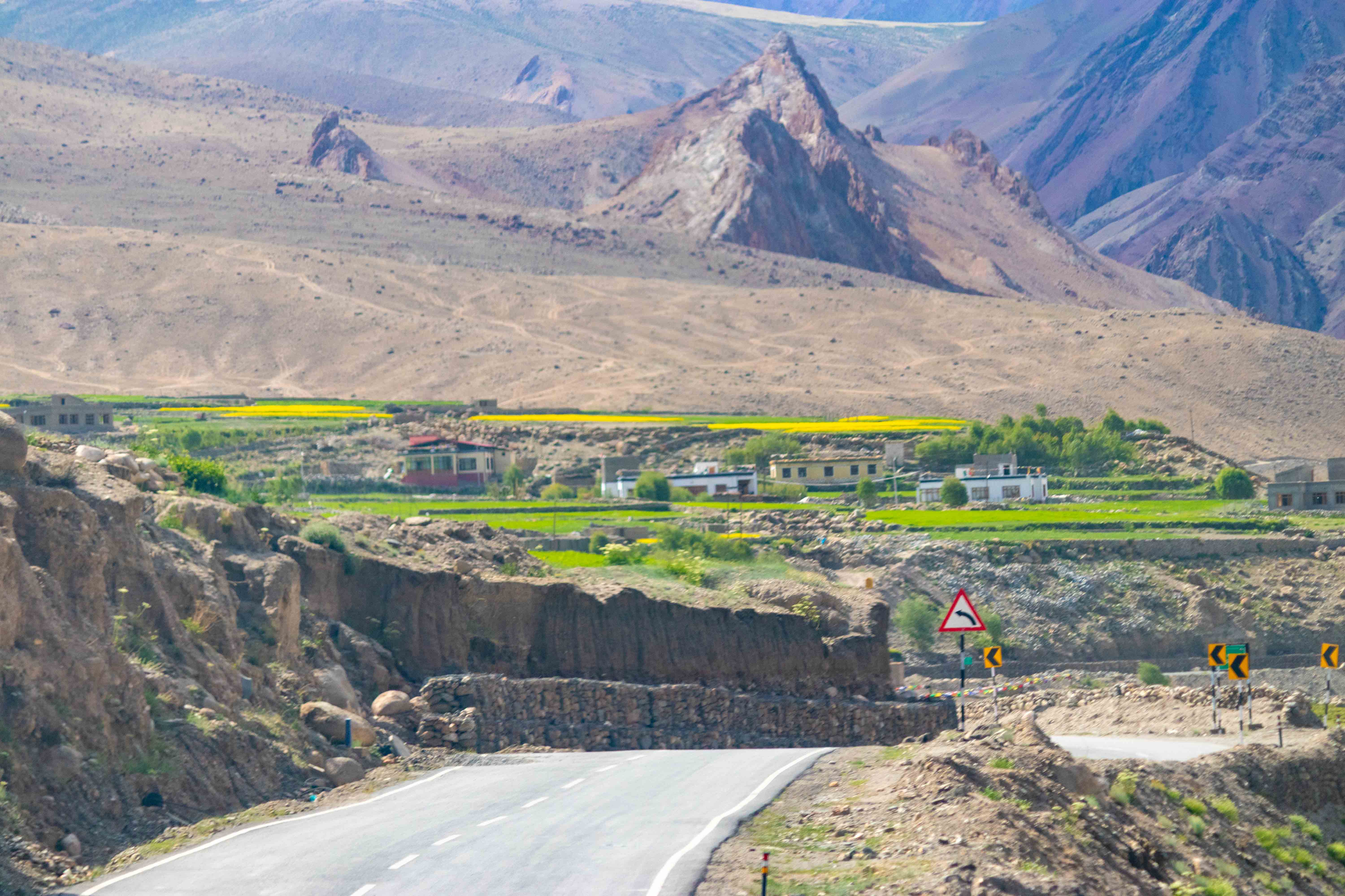
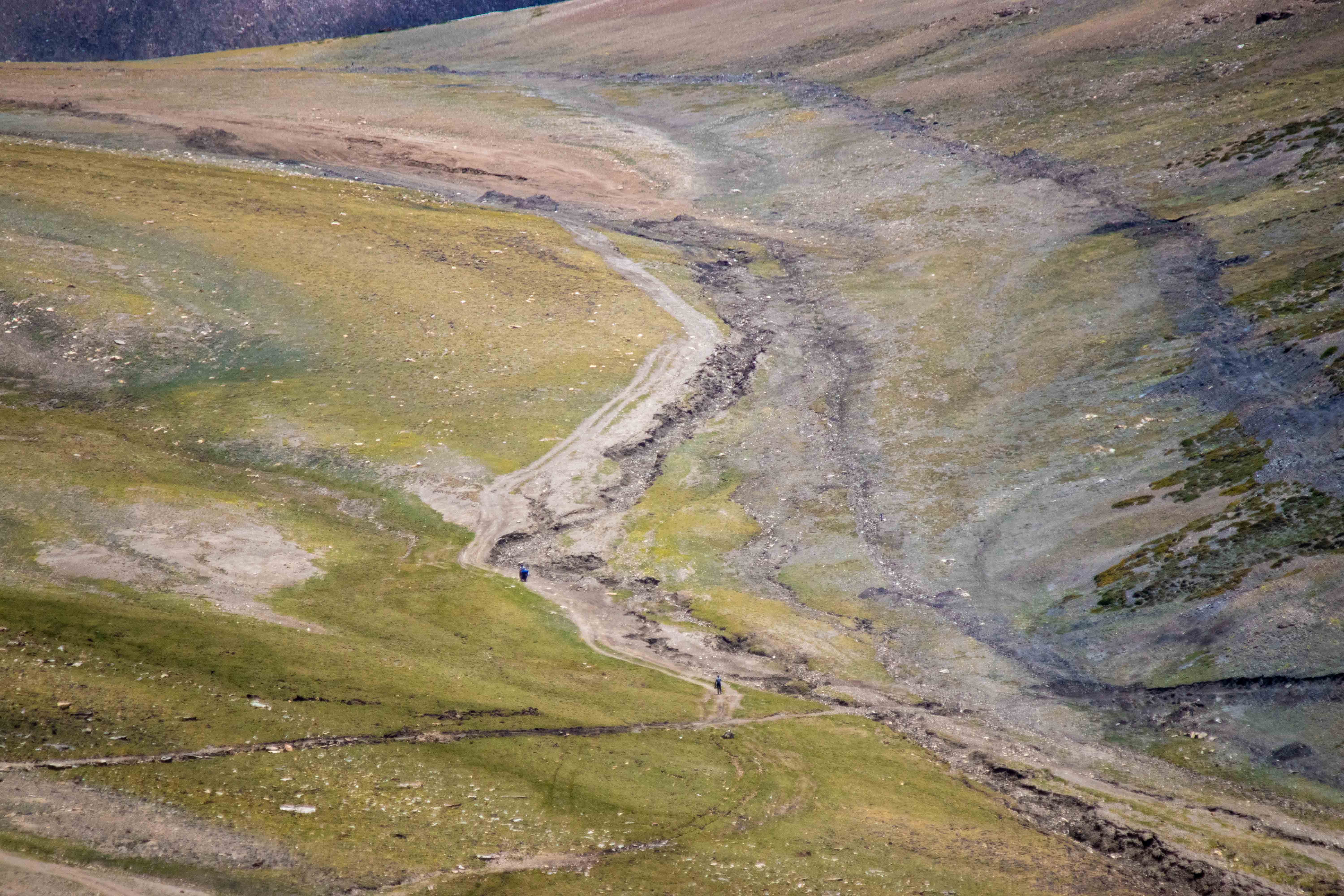
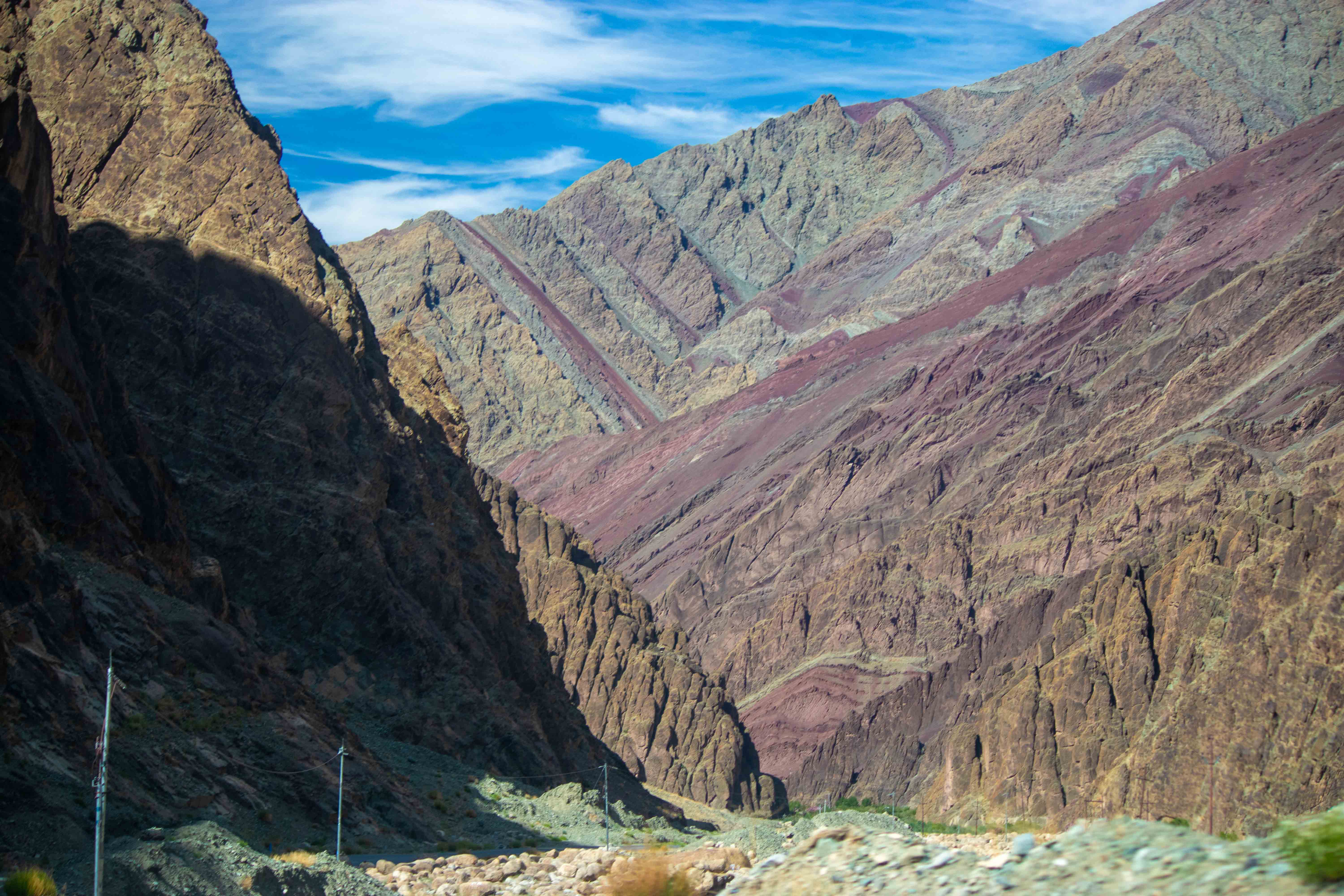
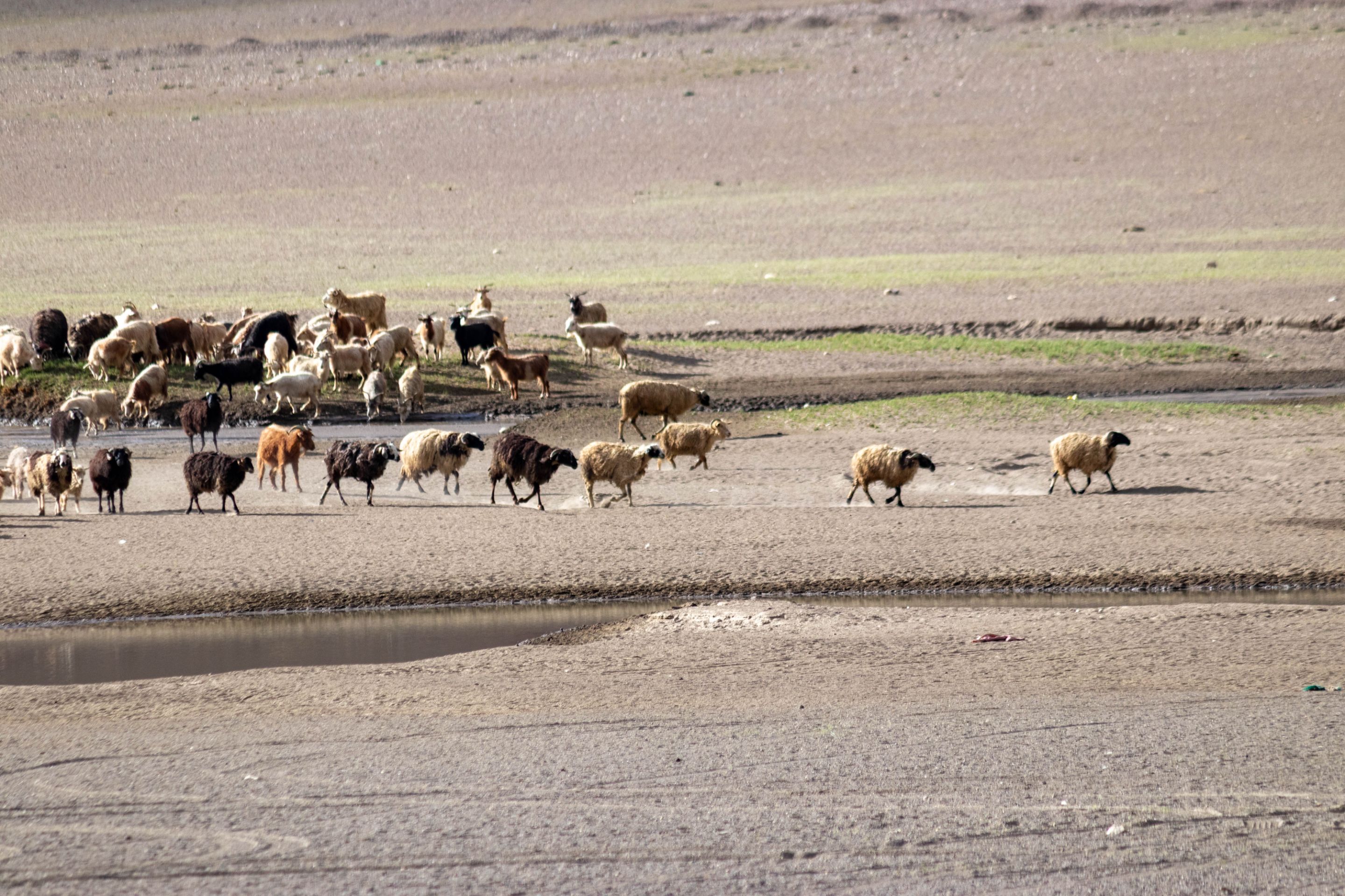
As I descended from Tanglang La Mountain Pass, the mountains' colors changed. Where the tops of the mountains were covered in white snow, now a variety of colors appeared. Upon closer inspection, I could see red, gray, brown, pink, purple, green, and yellow. These colors are due to minerals. We have now entered the Rumsey Valley, where nature has bestowed its bounty, and this bounty can be seen in the form of lush greenery.
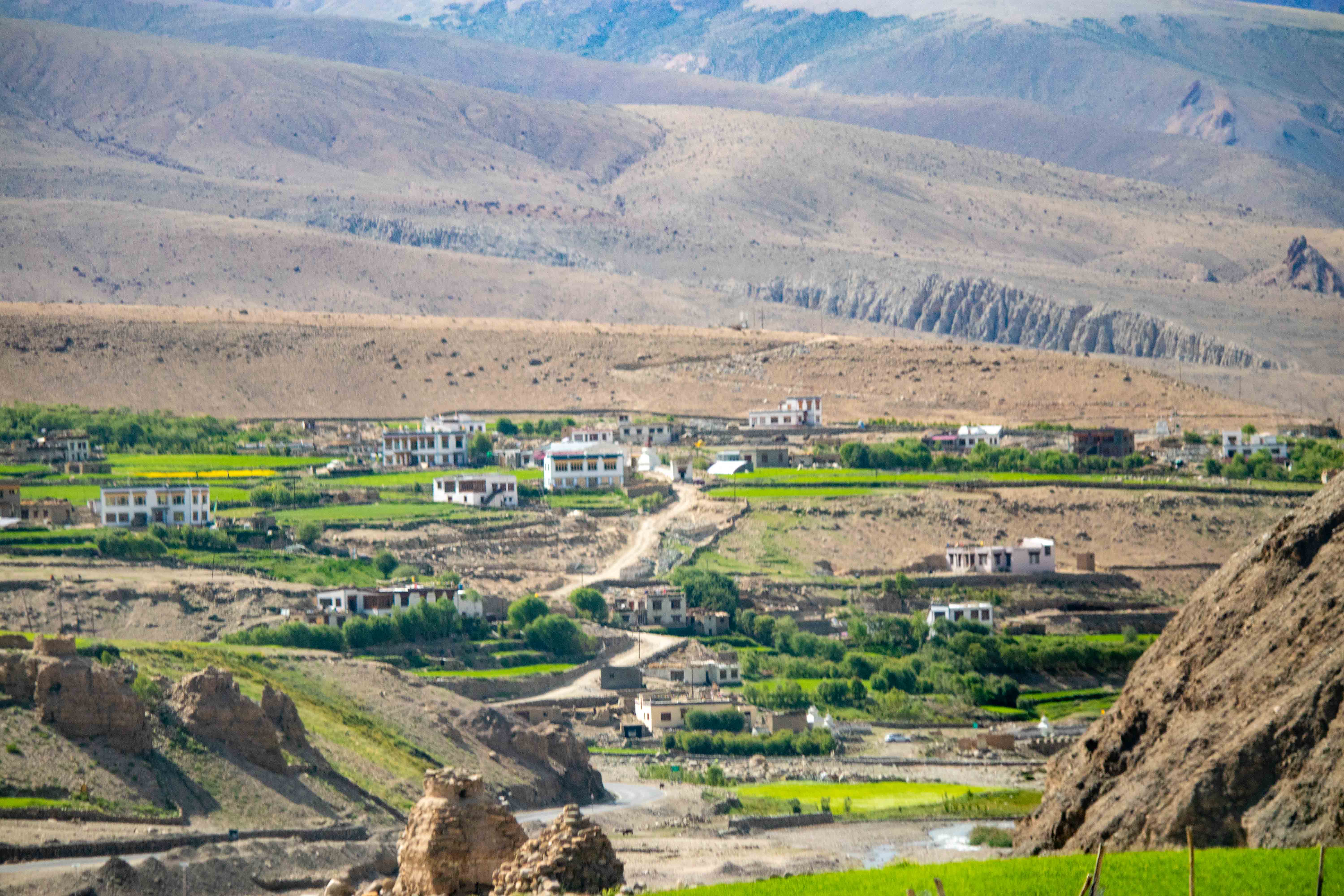
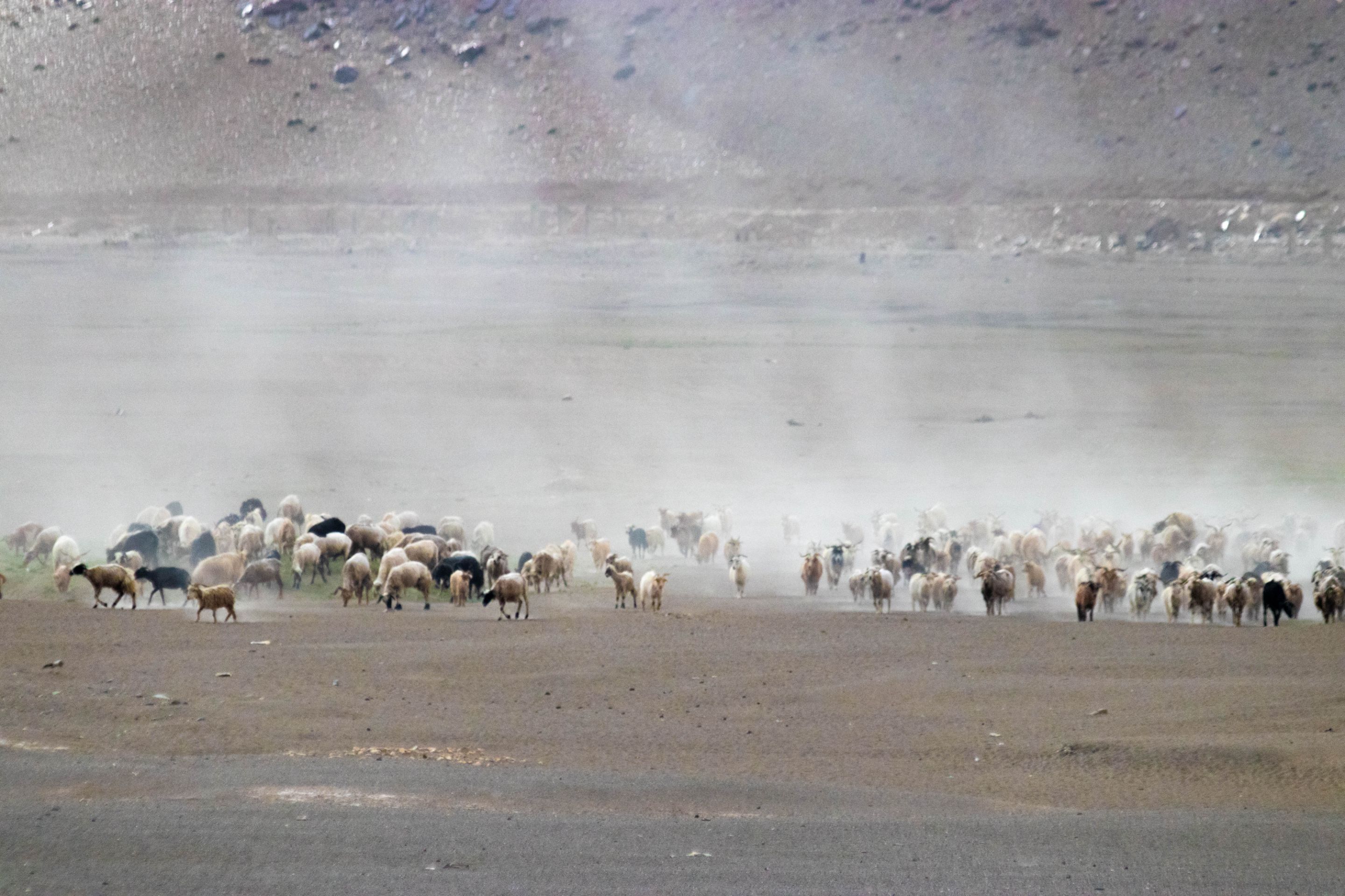
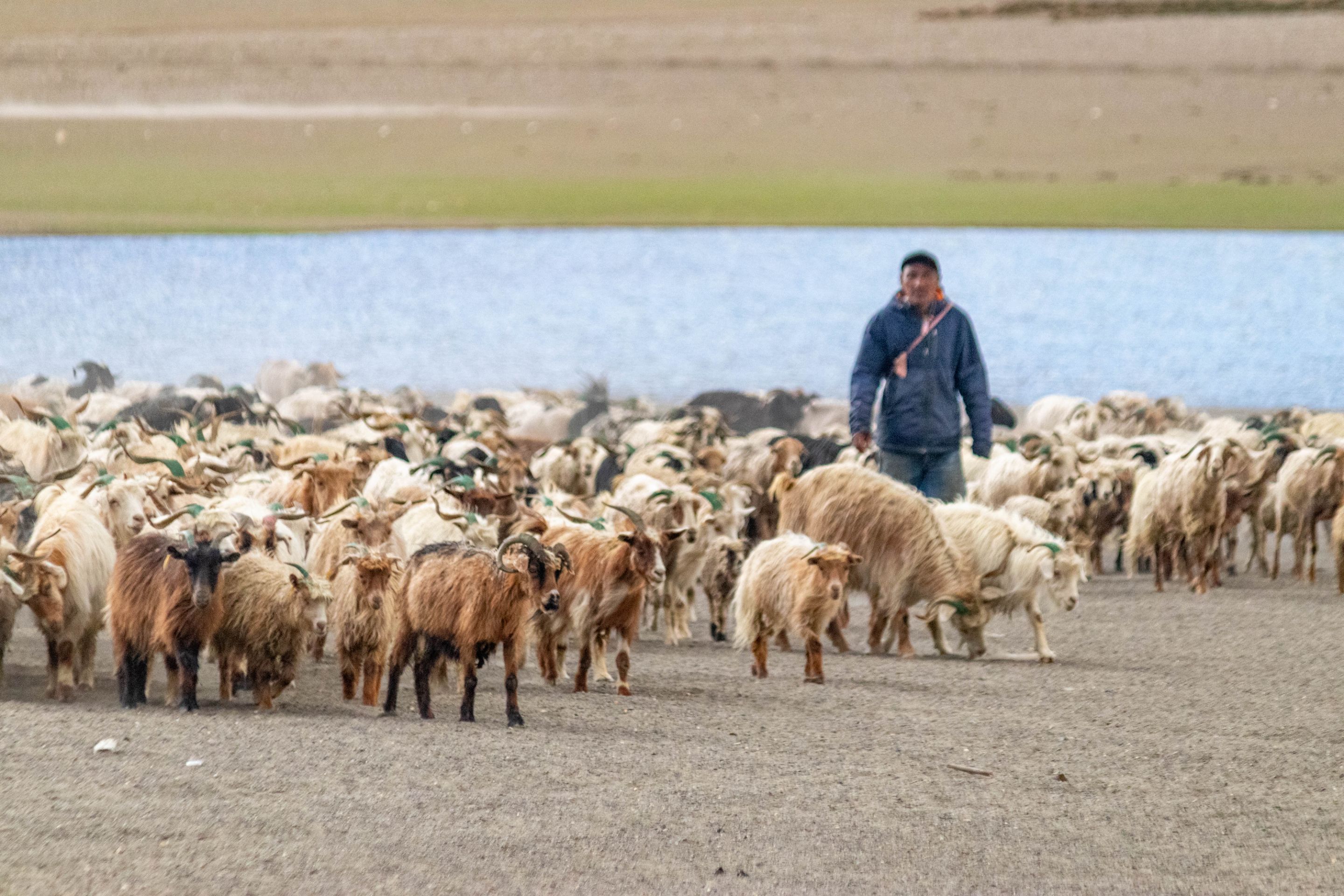
At an altitude of 4200 meters, the locals have cultivated the barren land, plowing it open. As a result, there's now abundant greenery, both pleasing to the eye and heart. I consider myself fortunate to see greenery for the first time in seven days. The villages nestled in the lap of the mountains look so beautiful, as if they were nurtured by nature itself.
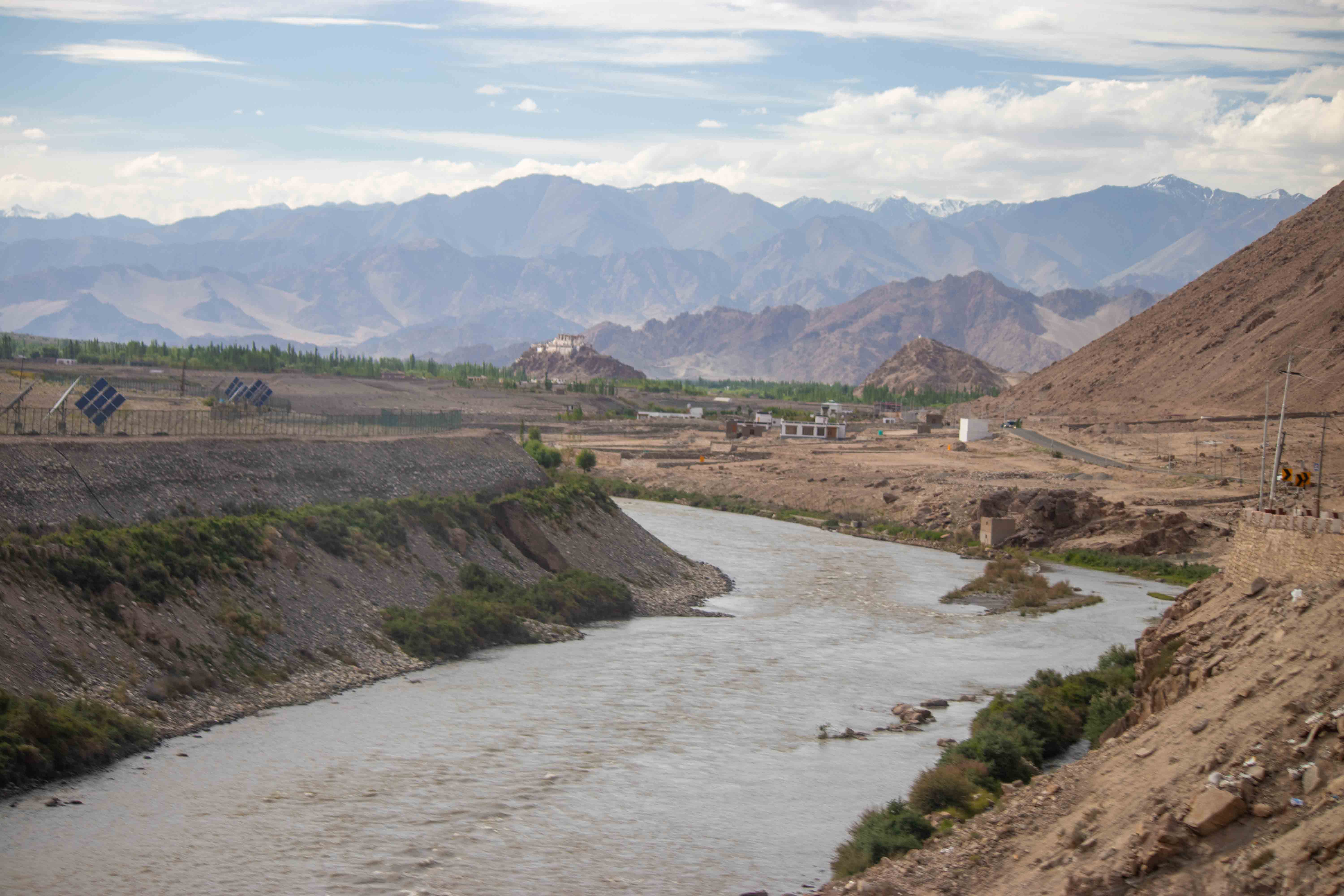
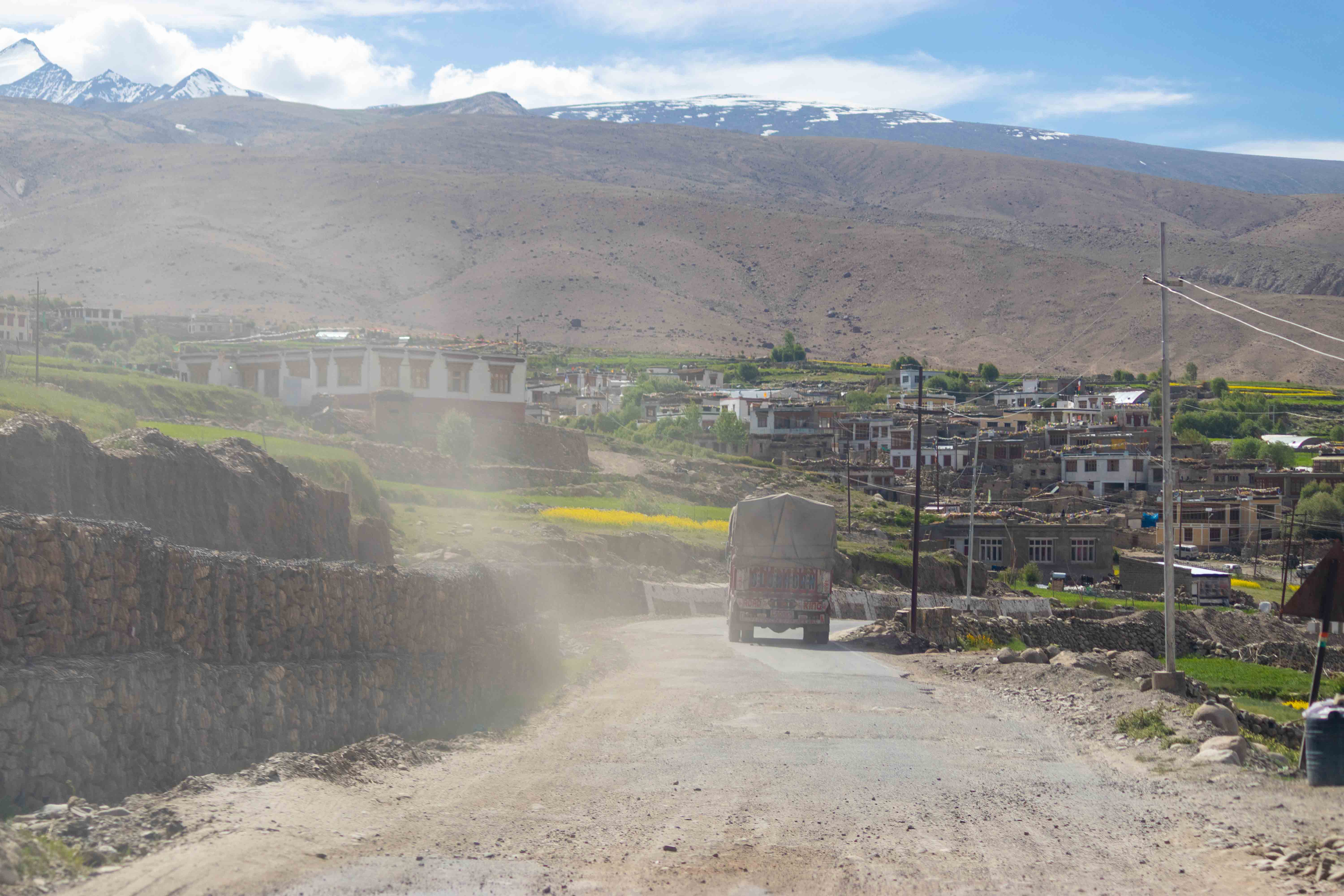
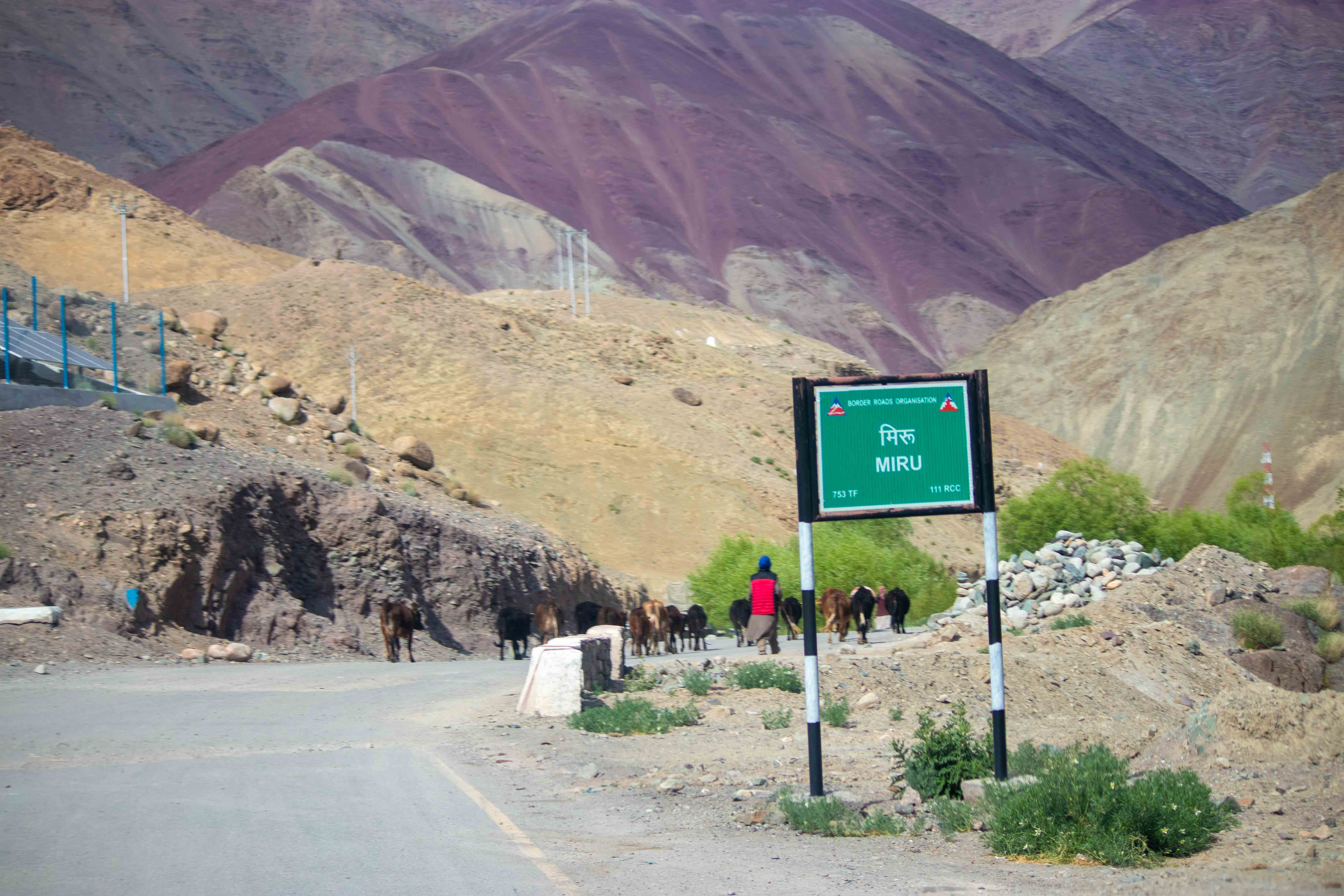
I am from Rumse, Upsi, Karu, Lato, Mato Gaya, Miru, Stanka, Hemis, Thikse, She, Choglamsar, and Spituk. The people of these villages, along with the government, have made this land habitable. In a land that witnesses temperatures of -40 degrees in winter, you might think that living here in such adverse conditions is tantamount to death. The greenery here is a blessing from God, providing a base for tourists like me to stay.
The road to the Markha Valley passes through these villages, from where I once summited Stok Kangri Peak, which is now off-limits. Stok Kangri's elevation is 6240 meters. I hope you enjoyed exploring the villages behind the Tanglang La mountain pass. The lifestyle here compels me to return to Leh every year.
Disclaimer: This post is originally written in Hindi and I have used Google Translator to translate the Hindi text in English. All the photos have been clicked by me from canon 77d (55-250mm) and edited on laptop lightroom app, and post thumnbail created in adobe photoshop.
My posts cannot be reshared or posted on any other platform by anyone without my permission.