I'm bouncing around with my trip posts a little bit here but today I'm heading back to Nice for my final installment on the city. This one is about Port Lympia, also known as the old port of Nice.
I'm not going to go to deep into its history, but I will say that the Port dates back to 1748 when it was constructed for Charles Emmanuel III the King of Sardinia.
It's construction took over 150 years to complete, which is considerably longer than I would have guessed. But then again, I suppose dredging out the sea was quite challenging "back in the day."
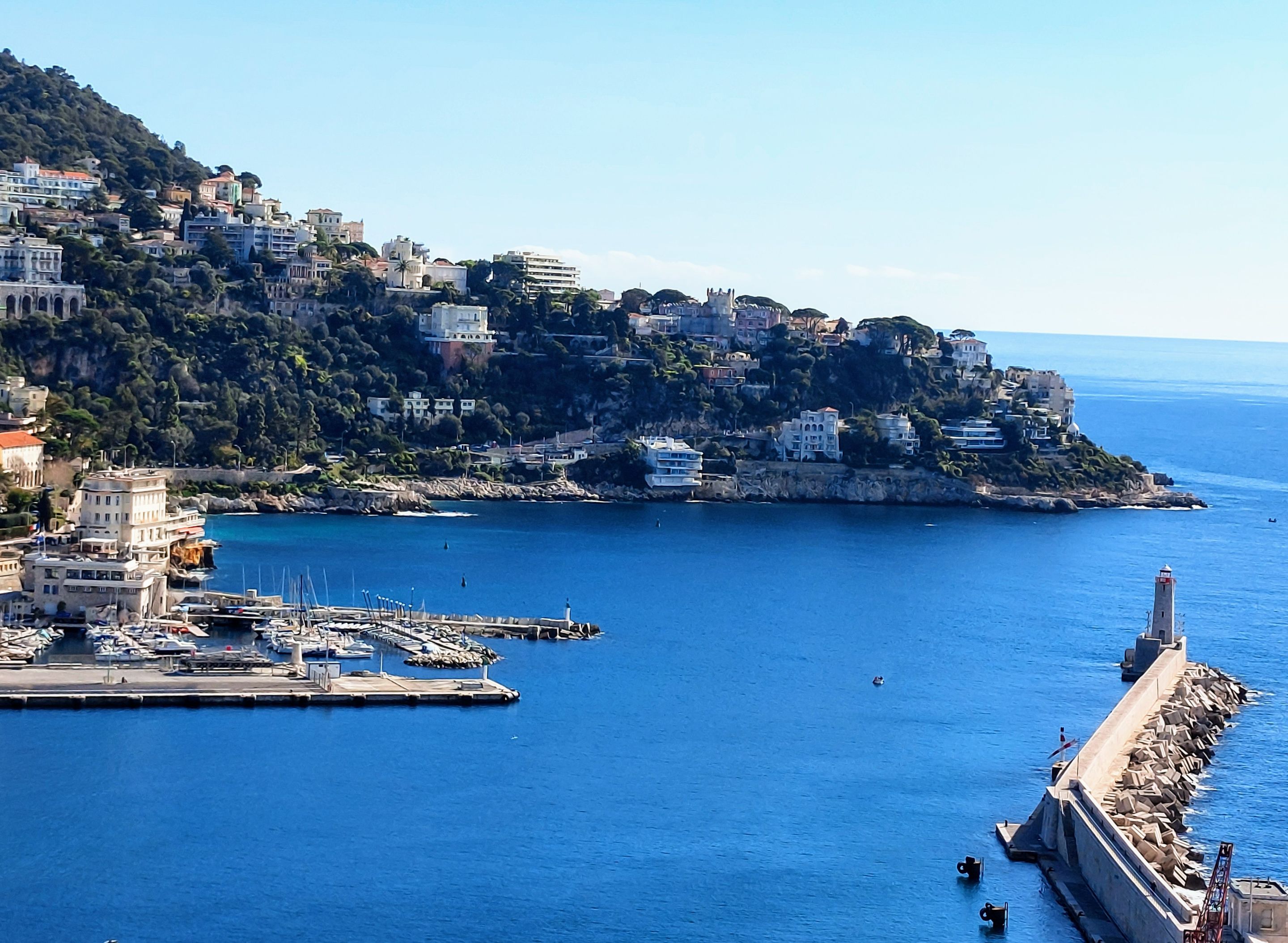
At its entrance on the water side, is a long breakwater with a lighthouse at the end. You can walk on it at least to the half way point.
From the overhead view you can see a small cove in the distance beyond the port itself. In that area there is a public garden, a walking path along the waters edge and coco beach, which isn't a traditional beach with sand but more of a rocky outcropping with iron ladders leading into the sea. I didn't go there myself but if I had more time to spend in the area I think I would have checked it out. It was too cold in February for me to get in the water but it's not far from the harbor and it sounds like it might be a neat spot to walk around.
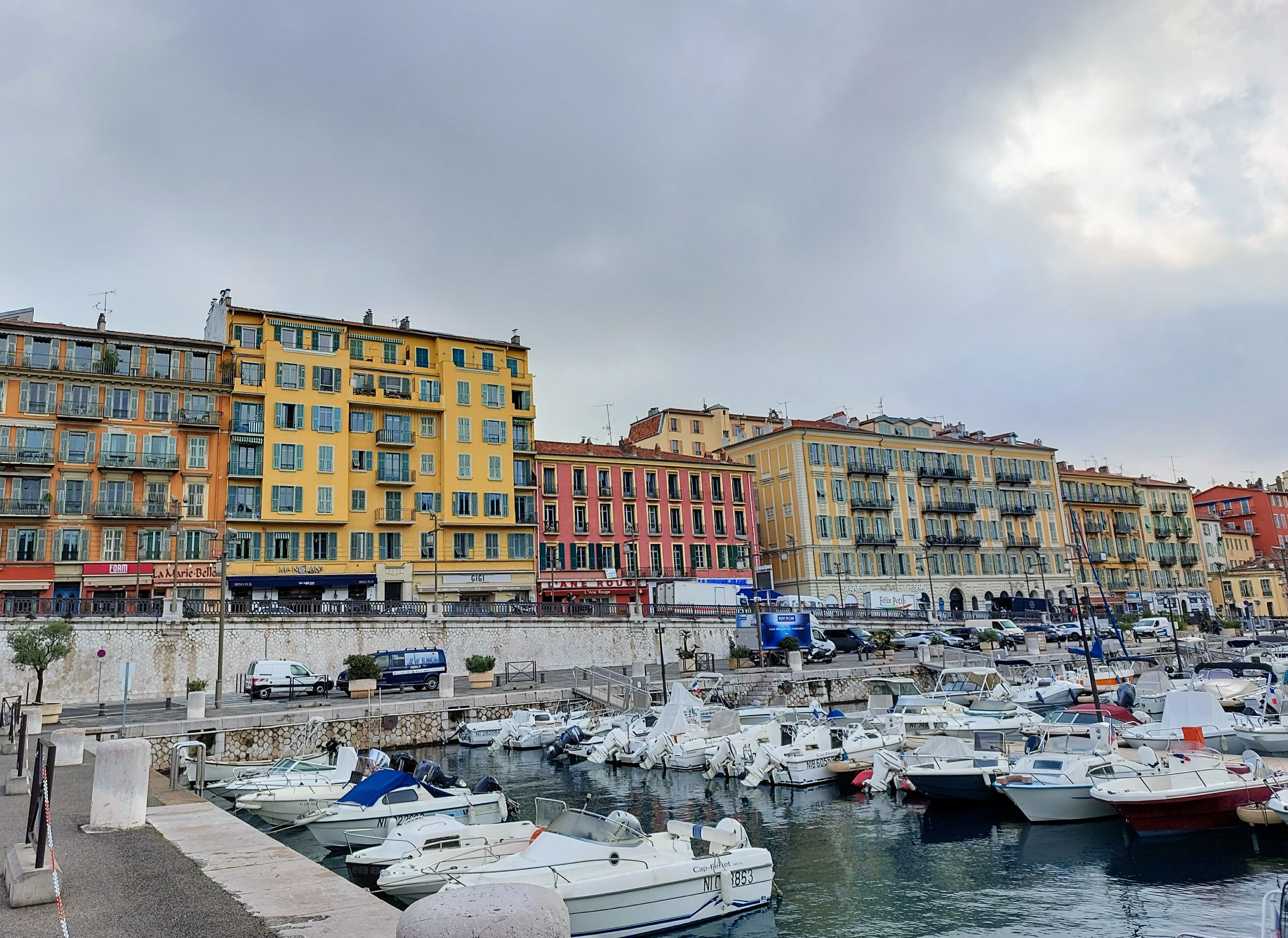
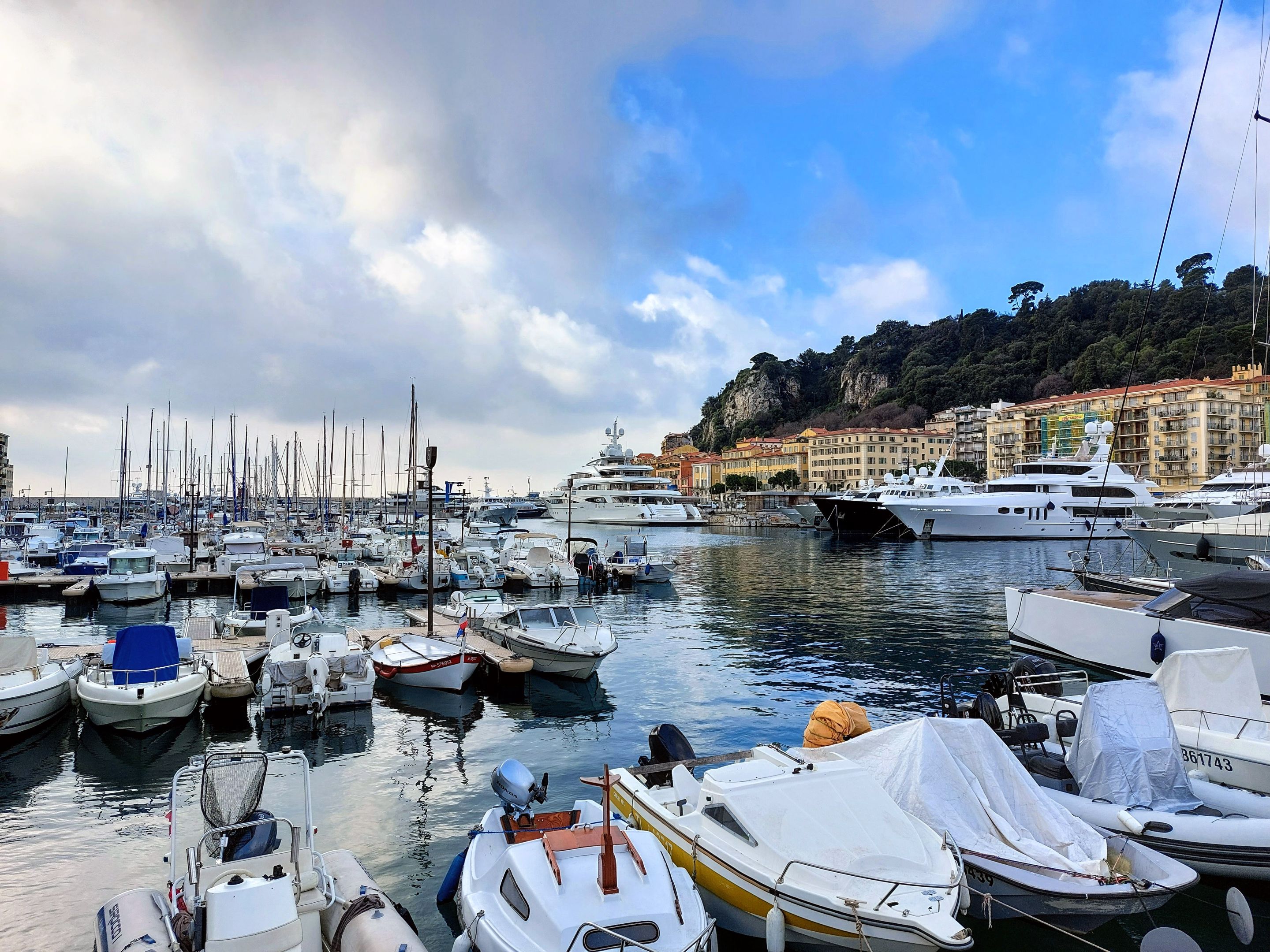
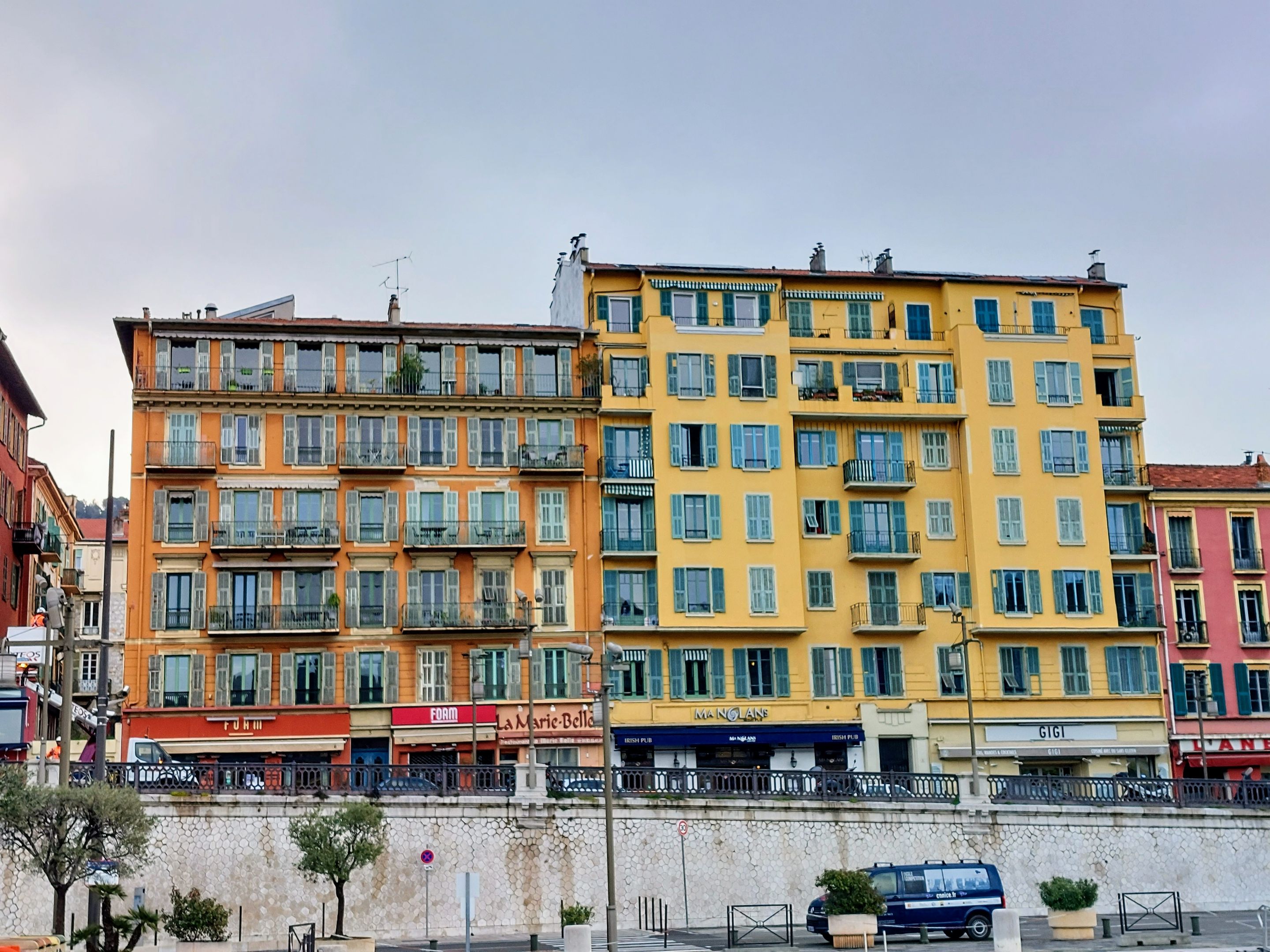
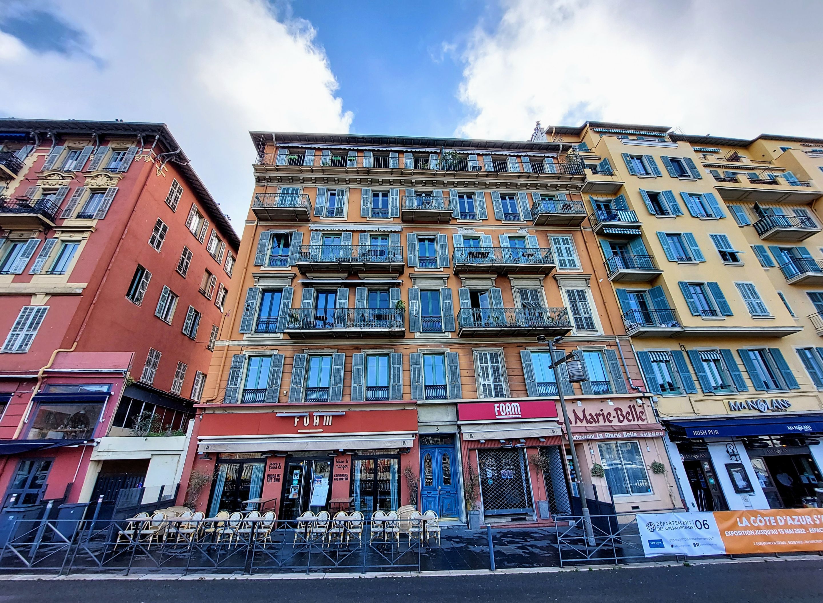
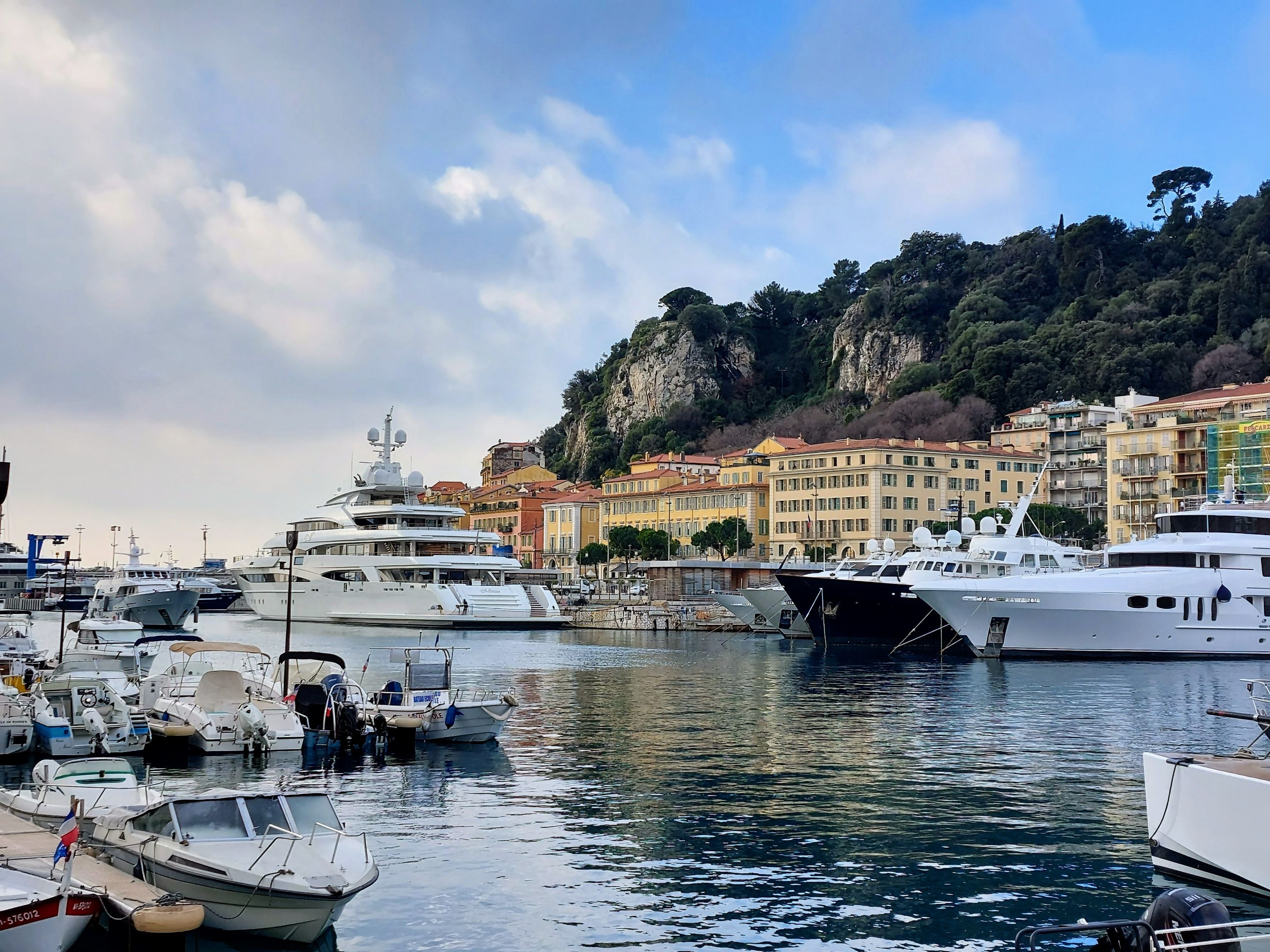
Located around the perimeter of Port Lympia are restaurants and cafes that are situated inside these brightly colored buildings that are painted in various reds, yellows and orange colors.
Even on a cloudy morning the colors stood out and really seemed to liven up the space.
It was even better when the clouds did decide to part a little. The buildings look extra nice against the blue sky background. Then again, everything looks better when the skies are blue (I'm sure there's a song about that out there somewhere).
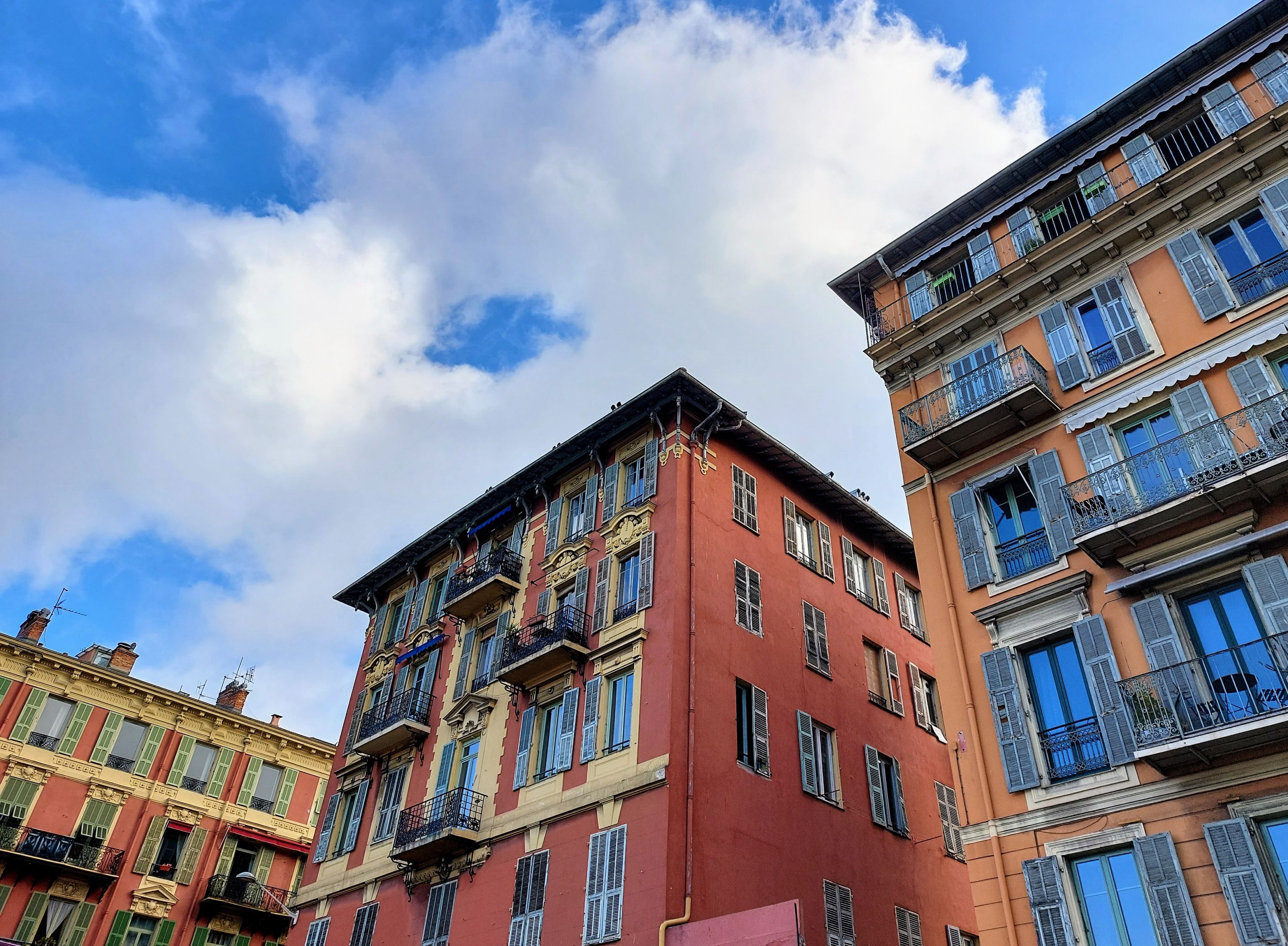
I really like the contrast of the yellow trim and blue shutters next to the red paint of the facade.
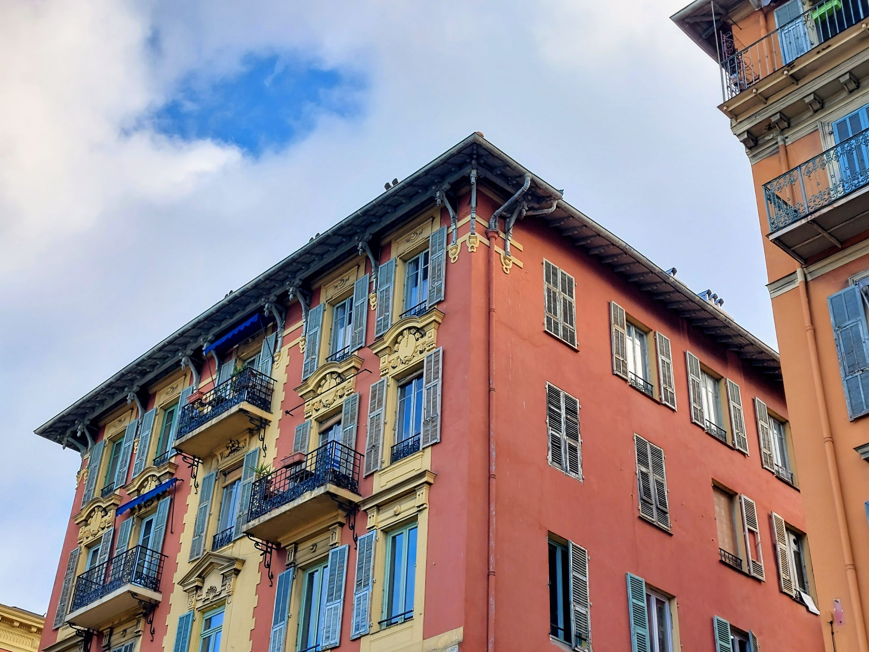
Great color combinations!
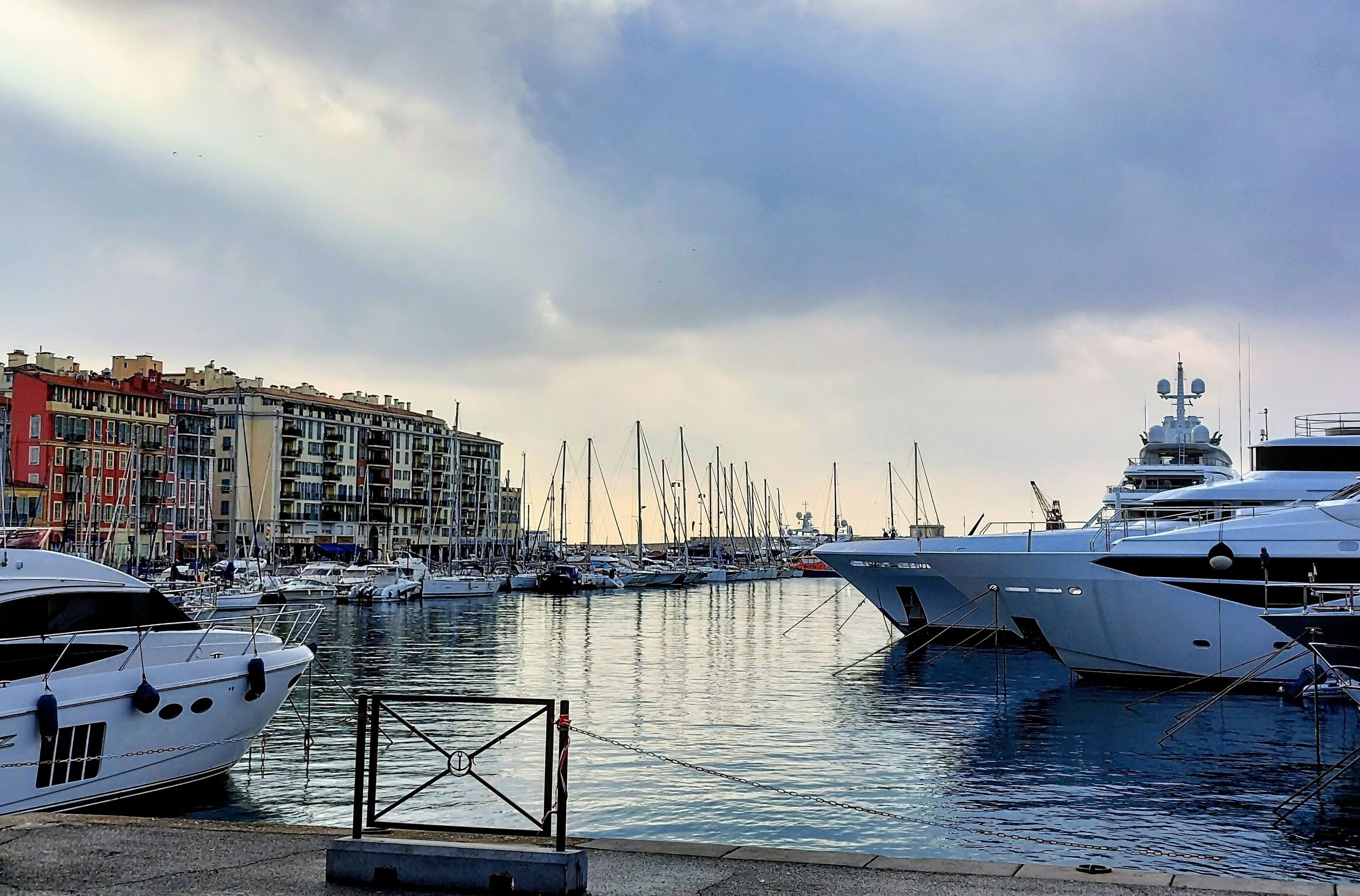
We were in this spot quite early in the morning so the lighting was pretty bad with the clouds in the begining. Not ideal for photos.
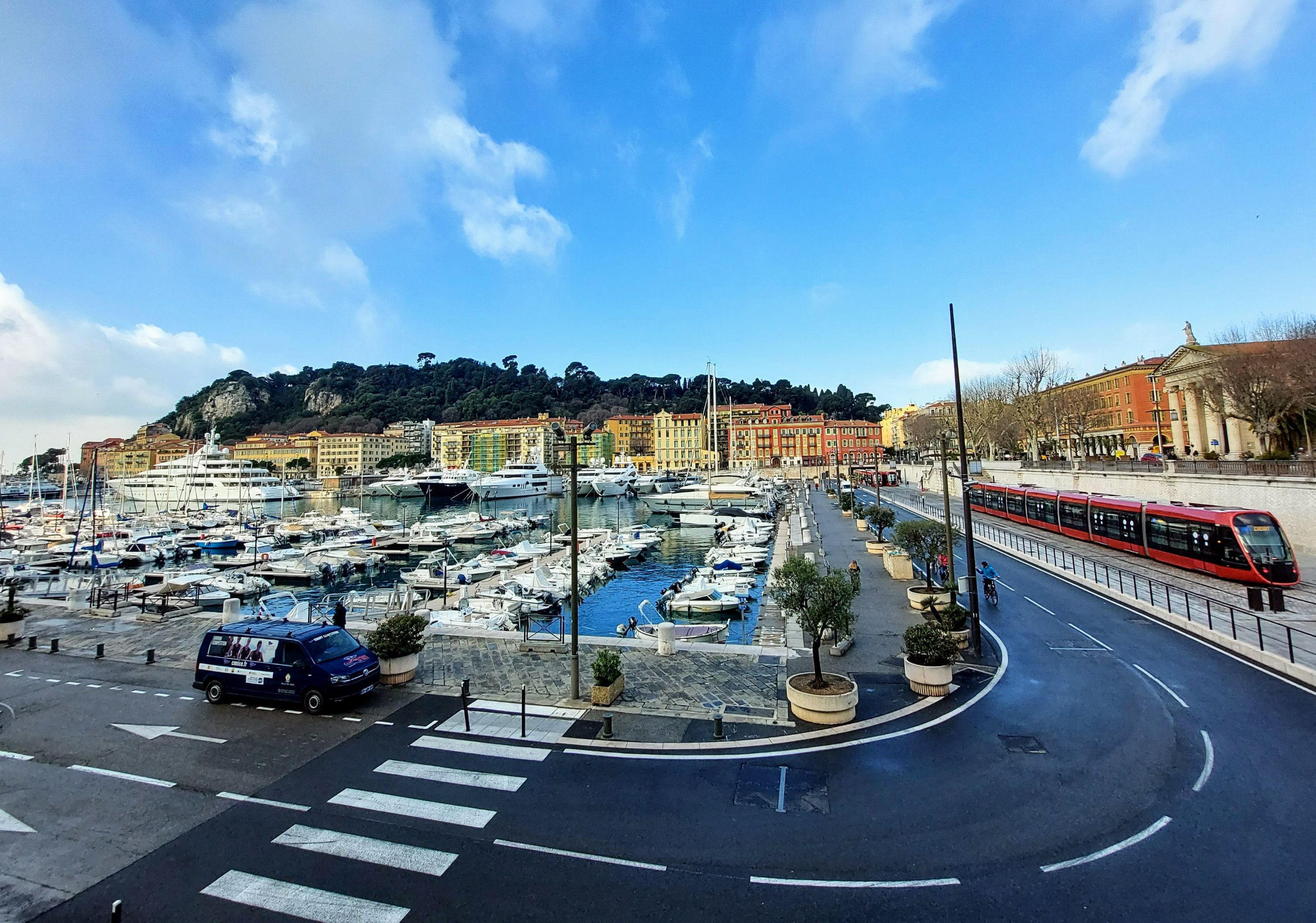
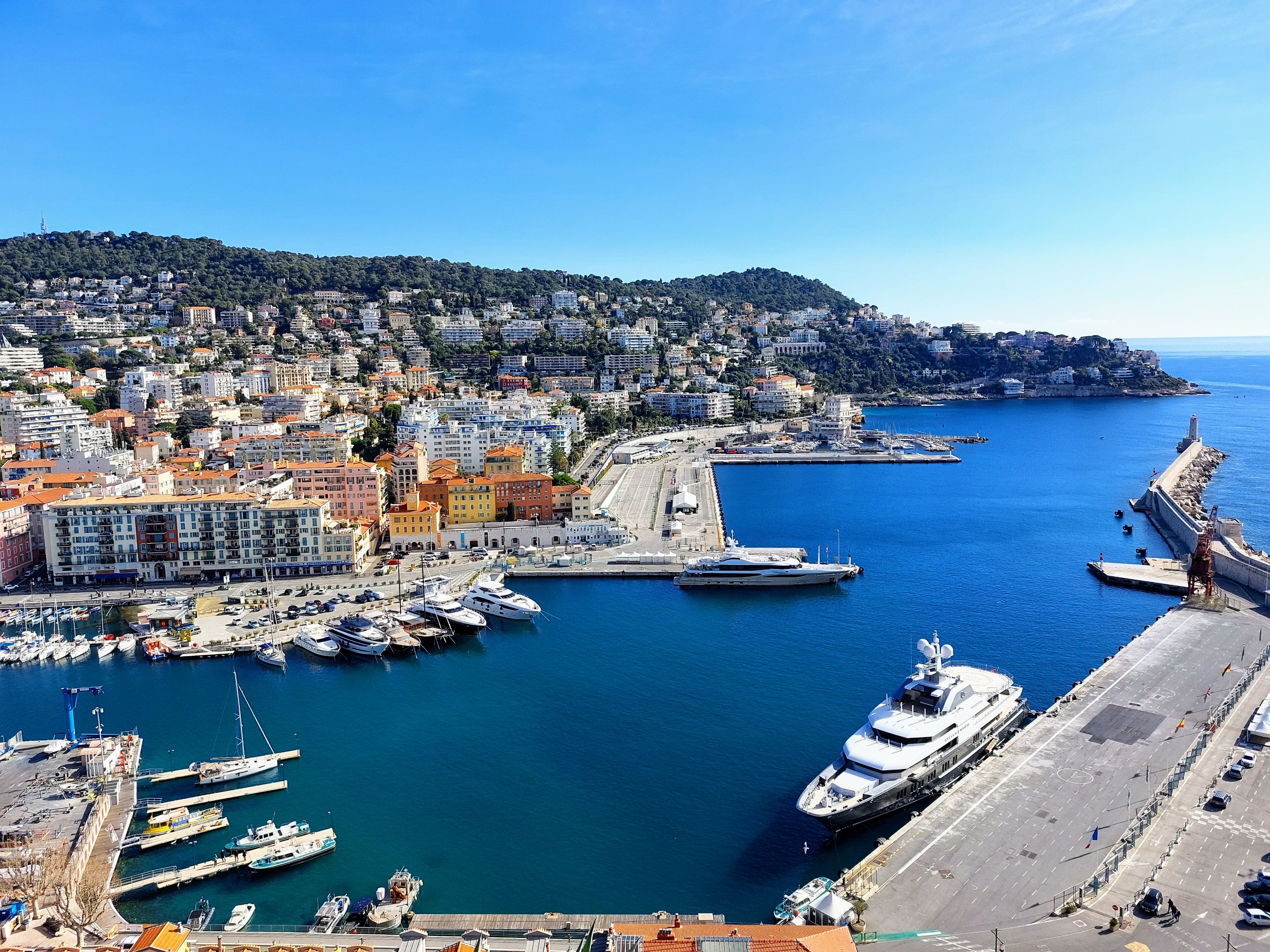
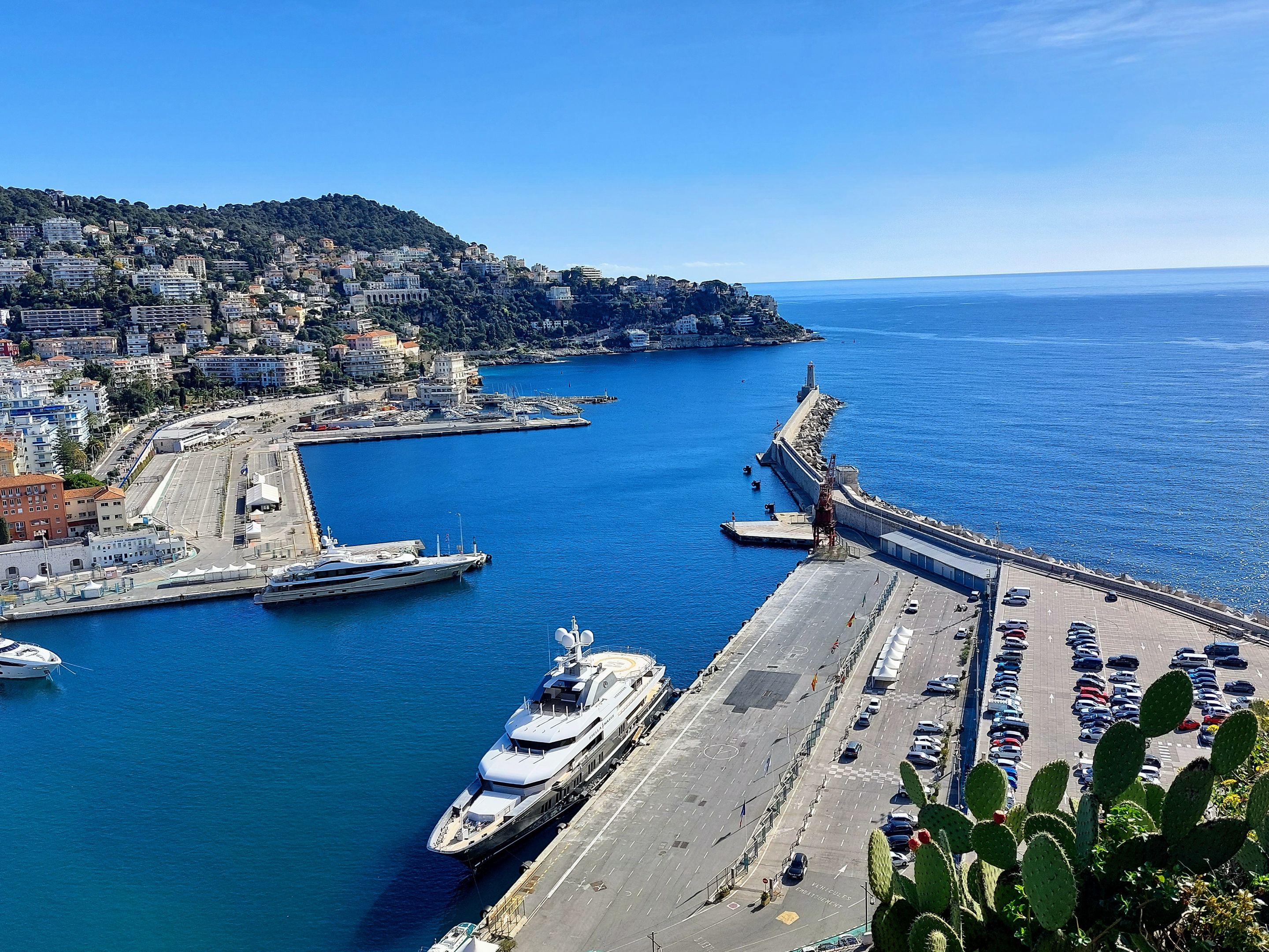
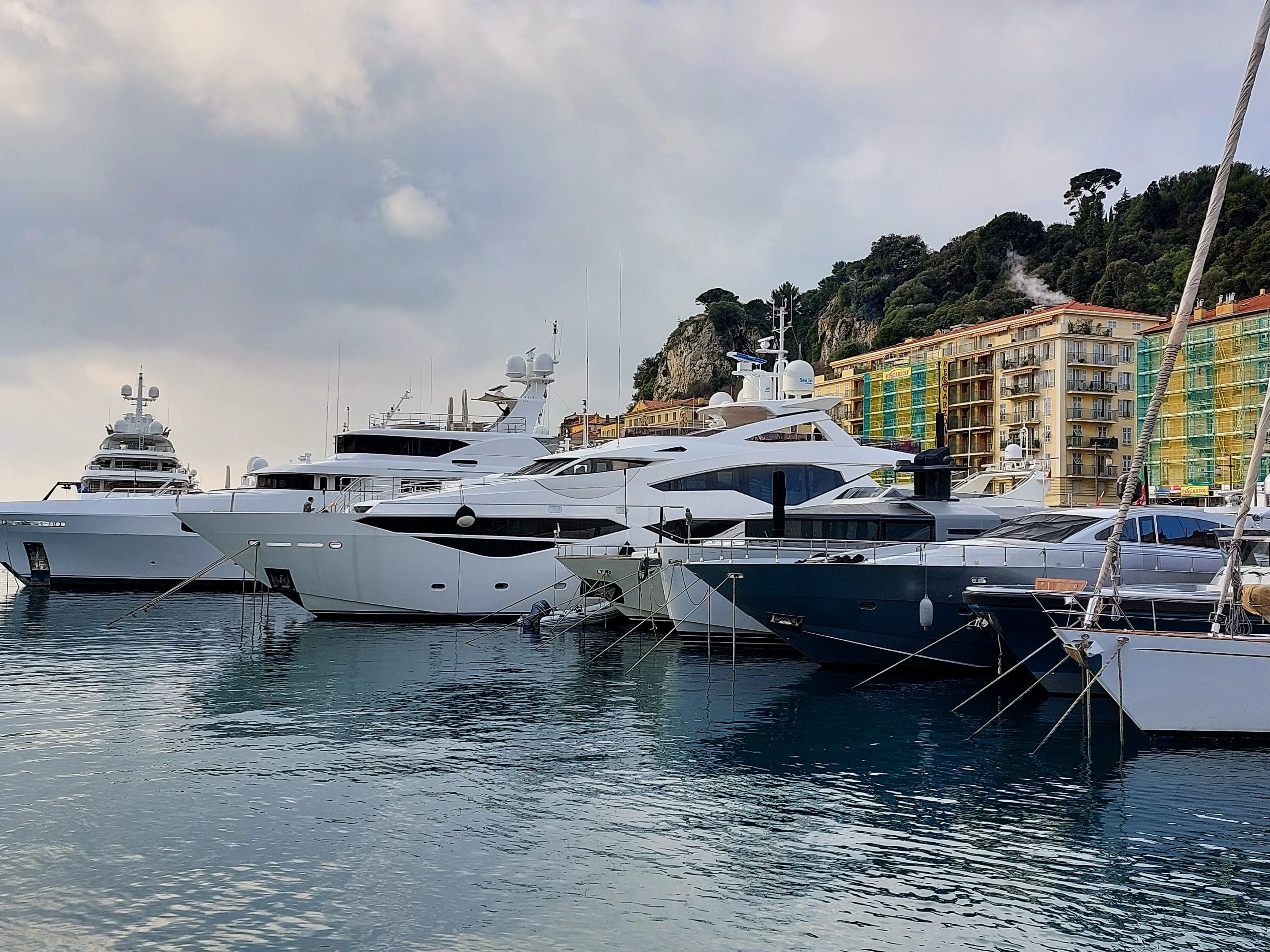
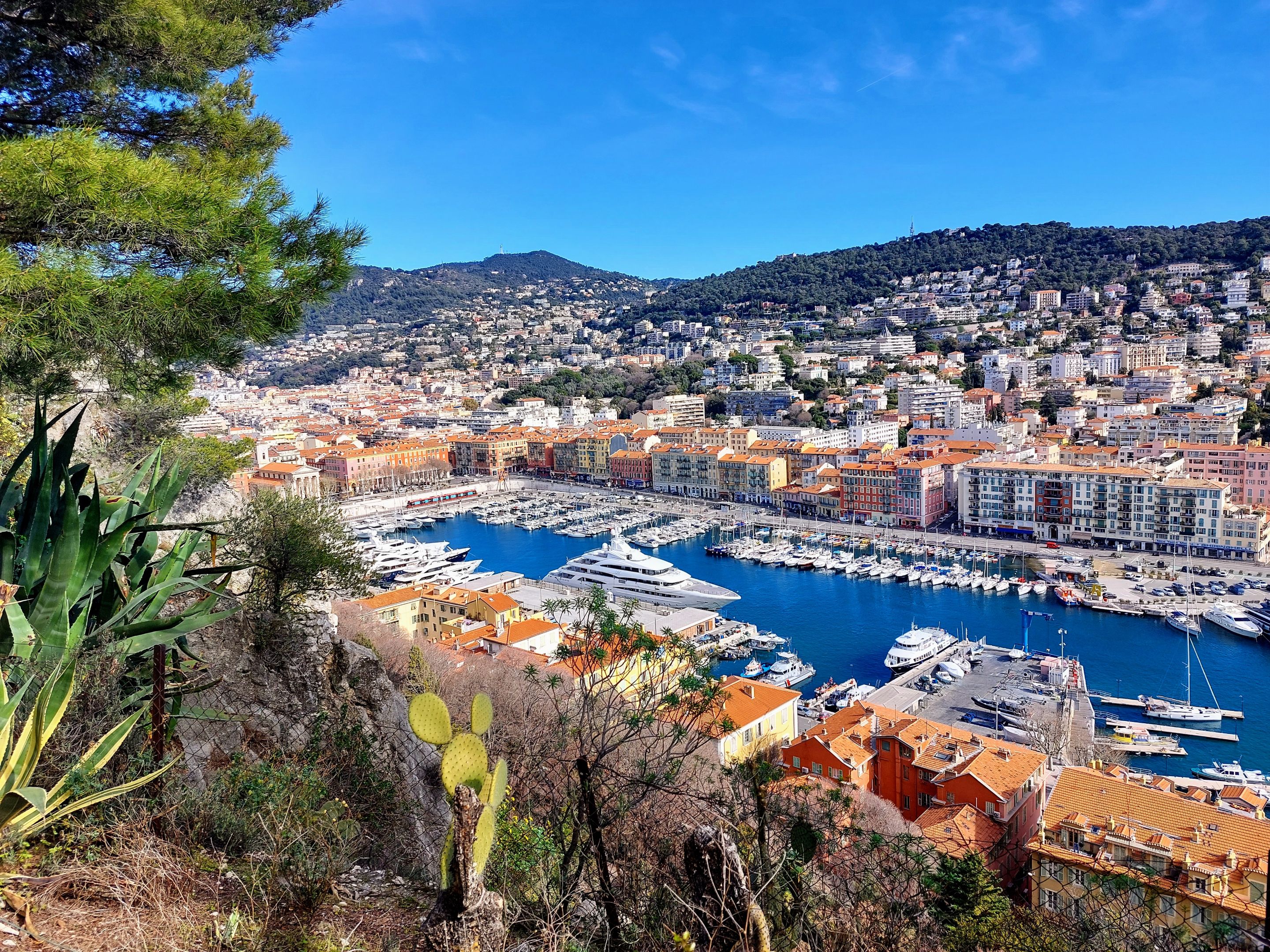
The harbor is located right next to Castle Hill which you can see in the distance and its also on the main tram route that takes you to and from the Nice airport.
This harbor wasn't quite as impressive as the one in Monaco but there were still some pretty cool sailboats and some really big yahts to see.
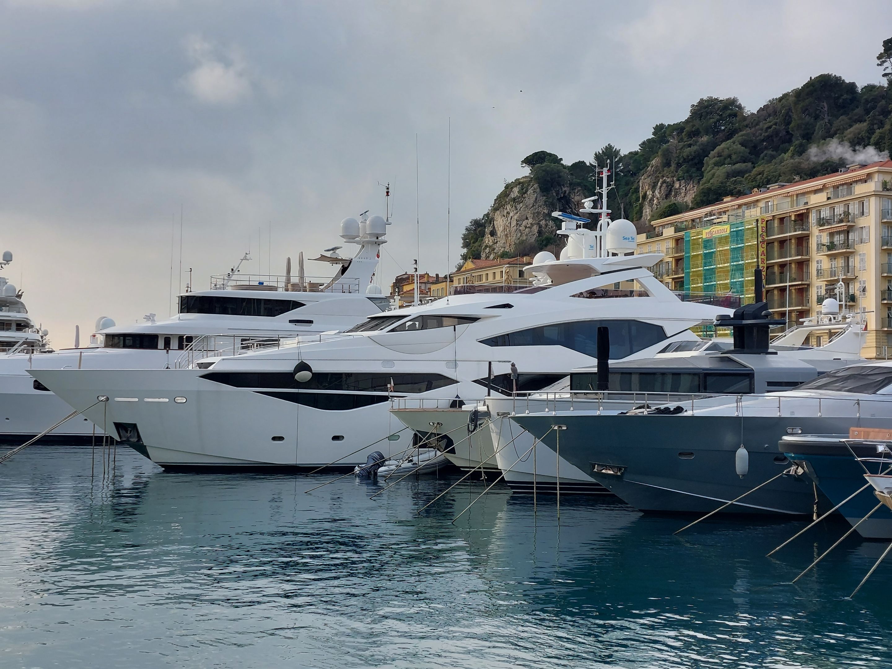
If I would have known before hand that you could basically find out how much any yaht is worth just by googling its name, I would have taken photos of the names of these yahts.
I'm really interested in knowing how much the Big Bertha of a boat is worth in the photo below. It's practically the size of a small cruise ship!
As you can see, it dwarfs all of the other boats in the area.
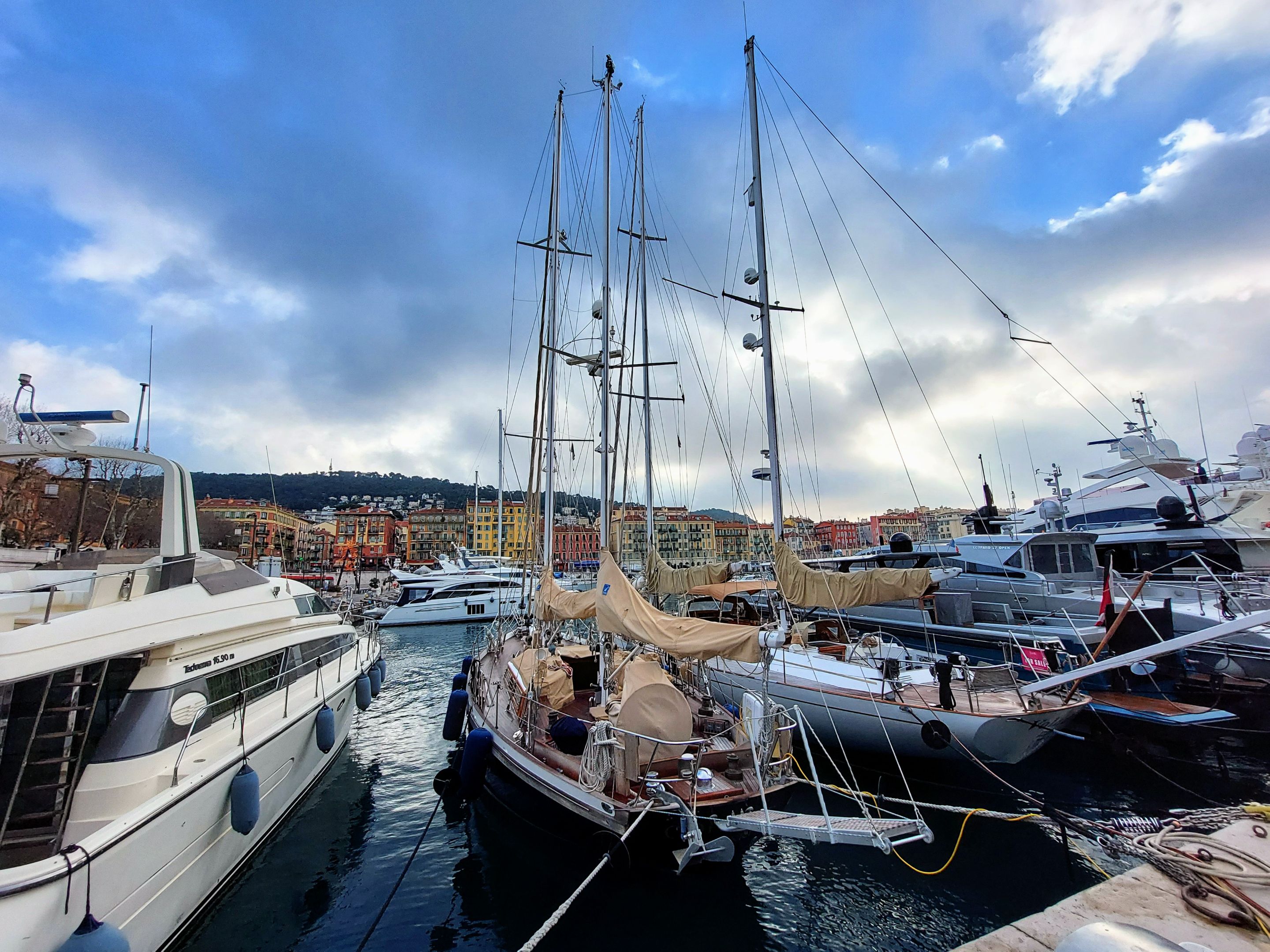
The photos below were taken from a panoramic viewpoint on Castle Hill by the way.
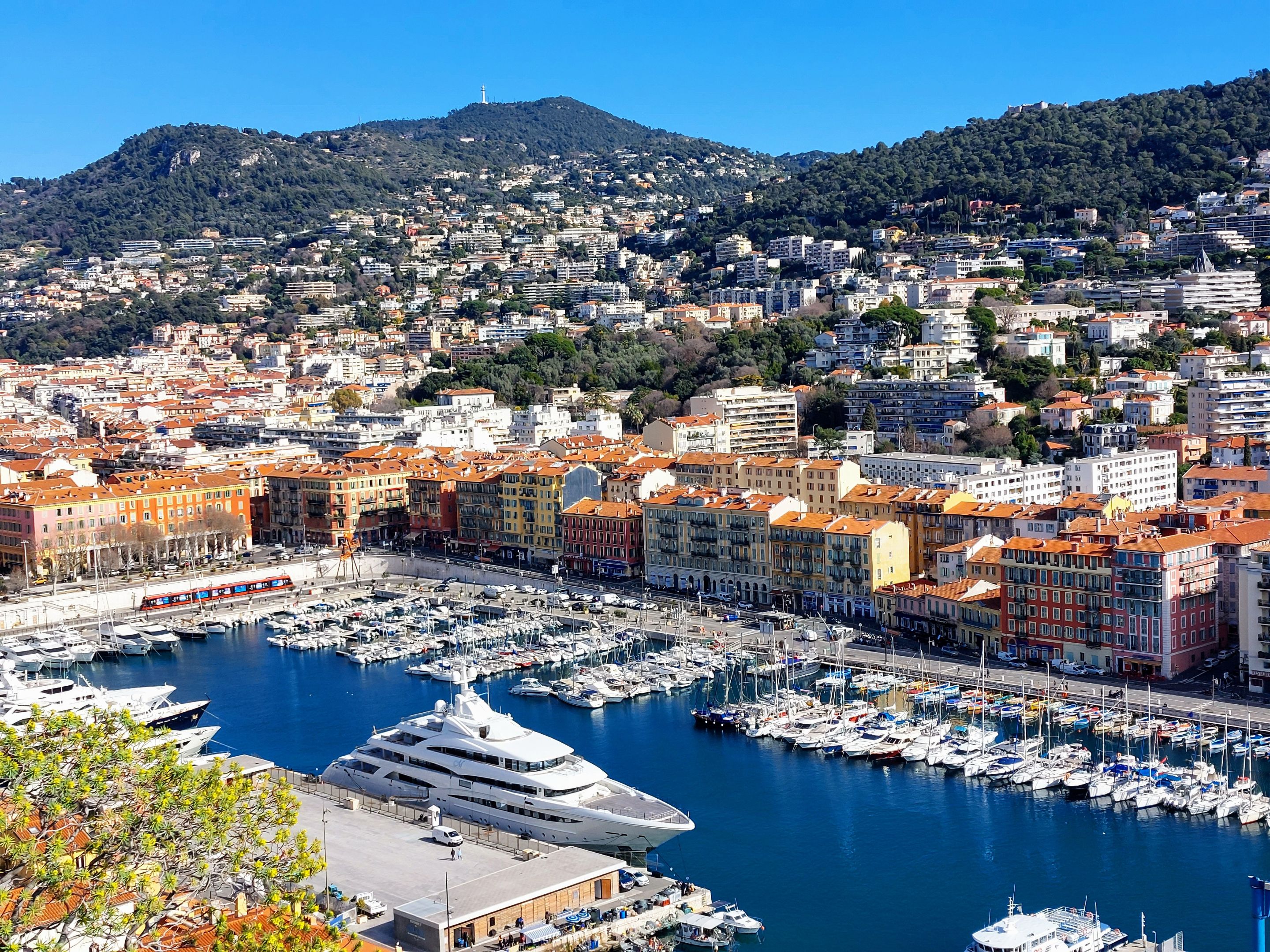
I was able to see online that there are super-yahts in Port Lympia that can be rented for over 1.5 million dollars per week!
Since this is my last post on Nice I want to show a map of where this location is situated in the city as well as a possible walking route for anyone wishing to visit. I mentioned this in a previous post but I figured I show it visually as well.
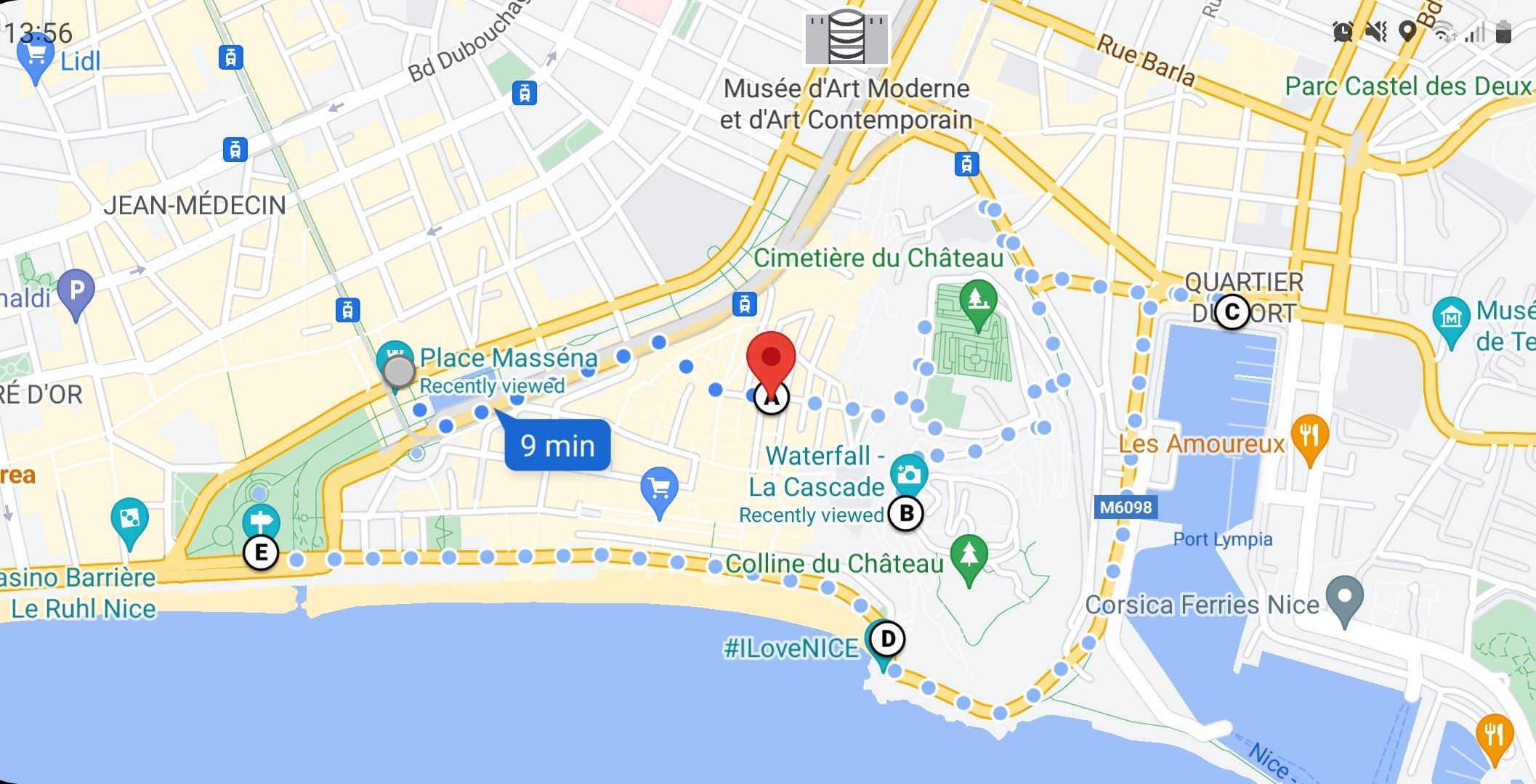
The route starts at the main square "Place Massema" and takes you through the old town and market and then up onto Castle Hill. From there you walk down the opposite side of the hill to the old harbor and then around the front, back to the # I Love Nice sign. Lastly, you can walk along the beach/Promanade de Anglais. The whole walk would cover the better portion of a day, assuming that you would spend time in the old town and up on the Hill, but it's definitely doable in one day. It would also allow you to see the best parts of the city in one swoop.
Well thats it for now. Until next time, thanks for stopping by. For previous posts about the city of Nice please see the links below.