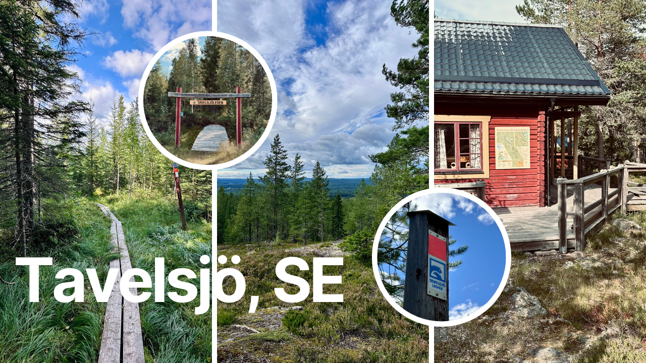
Come and join me today to discover this awesome hiking trail ~ the Tavelsjöleden ~ in Tavelsjö , västerbotten country in northern Sweden 🇸🇪 We will walk over boards, bushwhack our way through, along a stream to get to the climb up from the mountain. Stunning views await us at the top. We discover little cabins, bbq areas and even pick some chanterelles for dinner. Sounds interesting? Come along 🙂
With this post I’m joining in at the Wednesday Walk #challenge. That is hosted by @tattoodjay every week on Wednesday. ‼️Have a look: Here in the Wednesday Walk Community if you want to join in!… the community is run by @tattoodjay Look at his last #Wednesdaywalk post. It will tell you also the rules of joining in at the Wednesday walk posts 😁 come join us!
Today’s photographic selection will be of 70 PHOTOGRAPHS Date : 11 August 2024 The Photographs in this post are taken with my iPhone. I will follow the time stamps on them. So it looks like you are experiencing my adventures on this walk to #discover everything what I saw, like the little #details seen through my eyes.
Location of the Hiking Route where we started we find on the following screenshot of Google Maps :
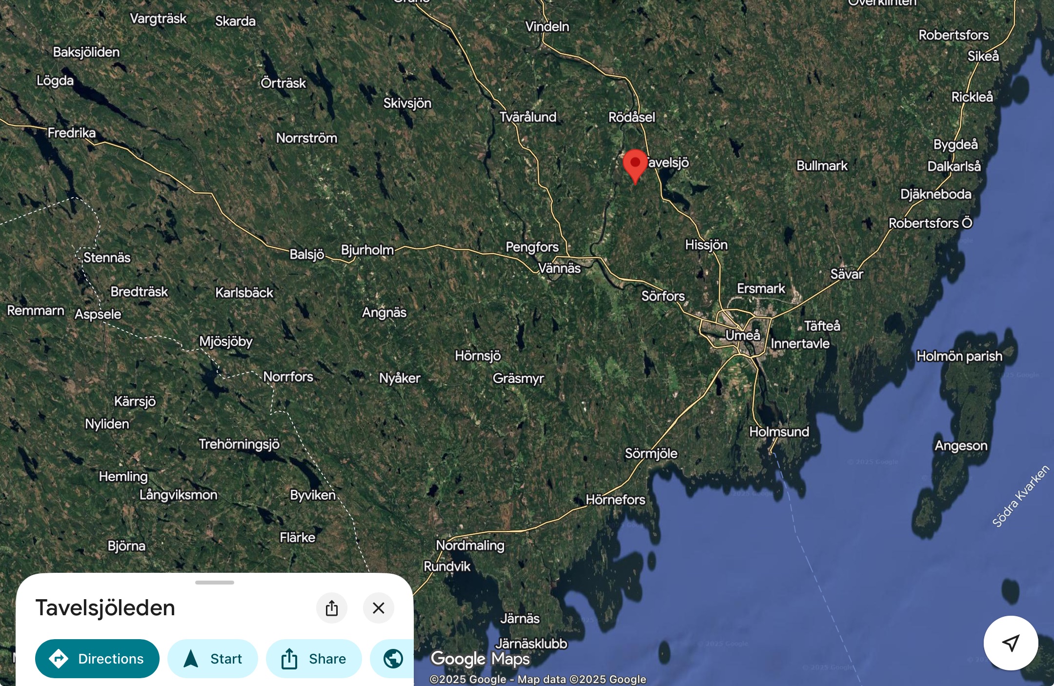
The whole hiking trail is about 42 km long. We only cover 6 km on this day and jump on the trail half way.
More information about this trail you find in the following websites: Bothniancoastalroute - Tavelsjöleden hiking trail. and Naturkartan - Tavelsjöleden and Visit Umeå - Tavelsjö in the summer
Our views at the parking lot where we start are the following:
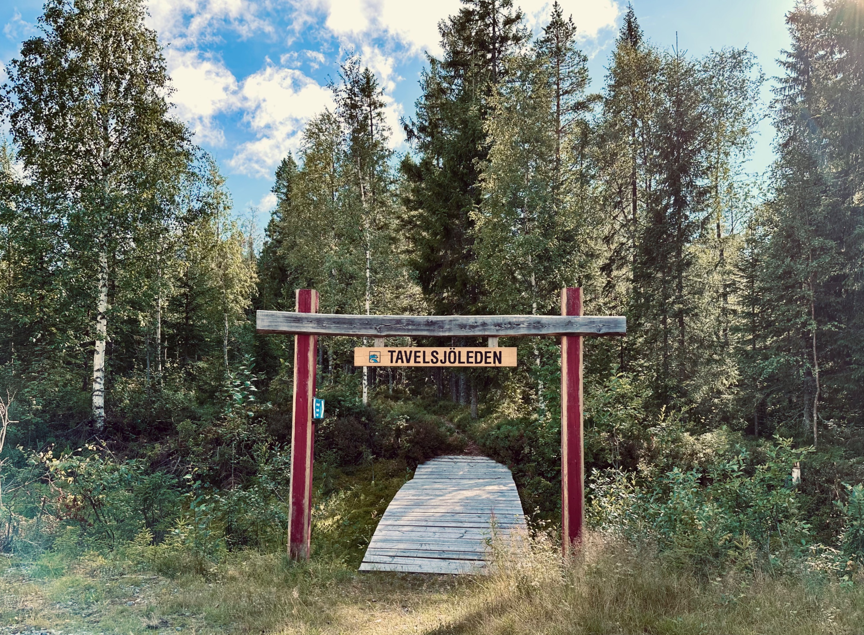
We see the entrance of this part of the hiking trail.
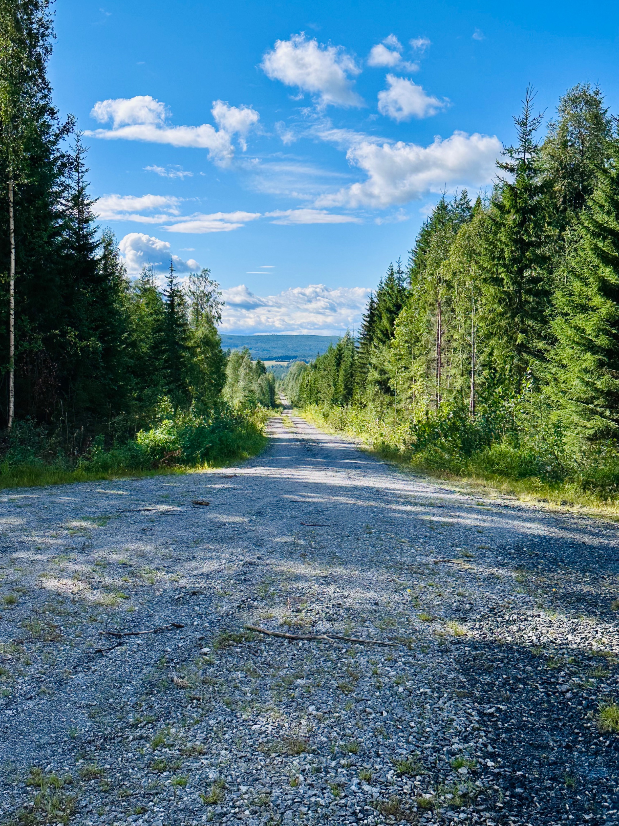
Looking along the road we drove up to the parking 🅿️
Are you looking forward to the views, let’s not wait any longer and start our walk together.
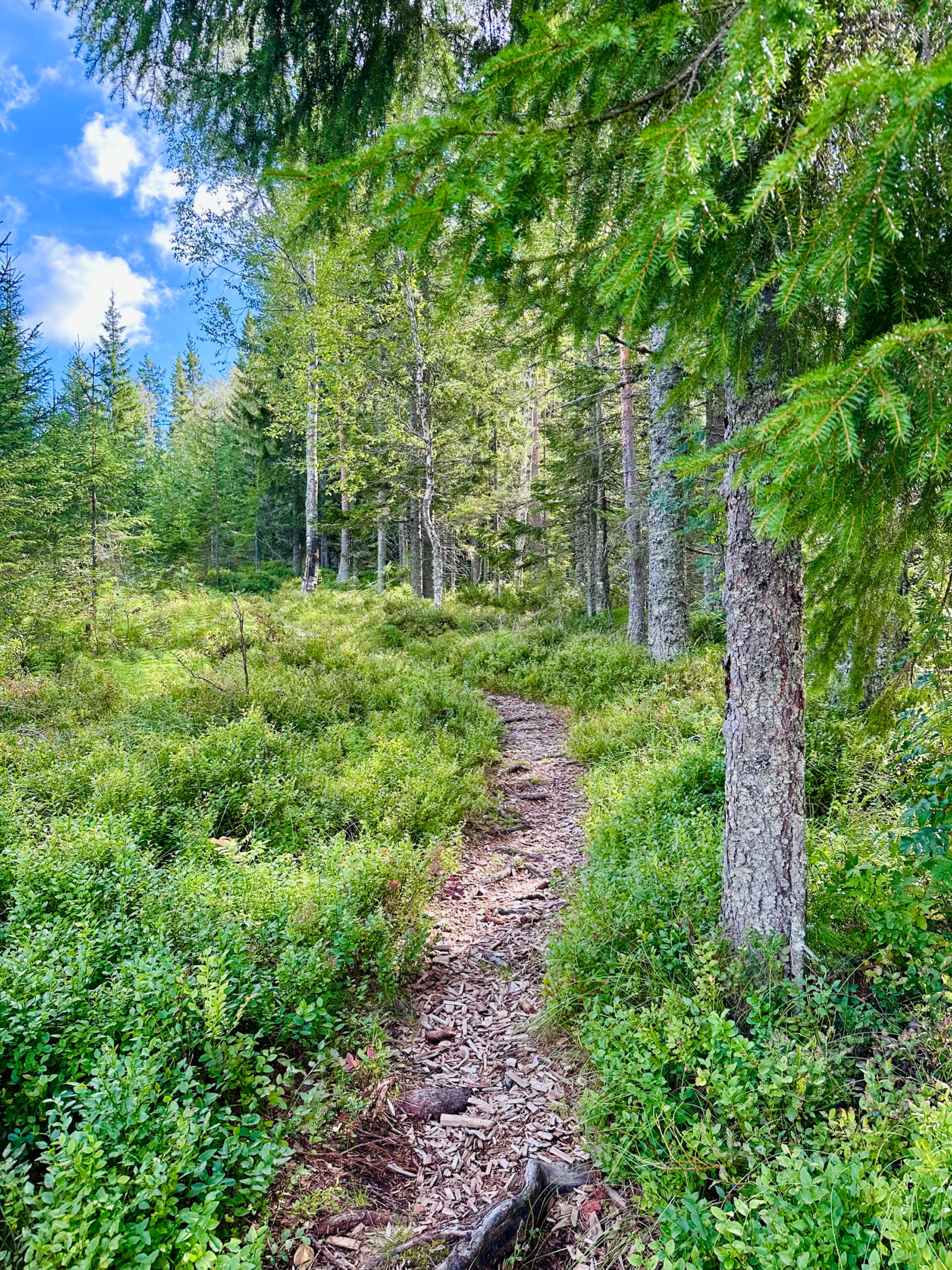
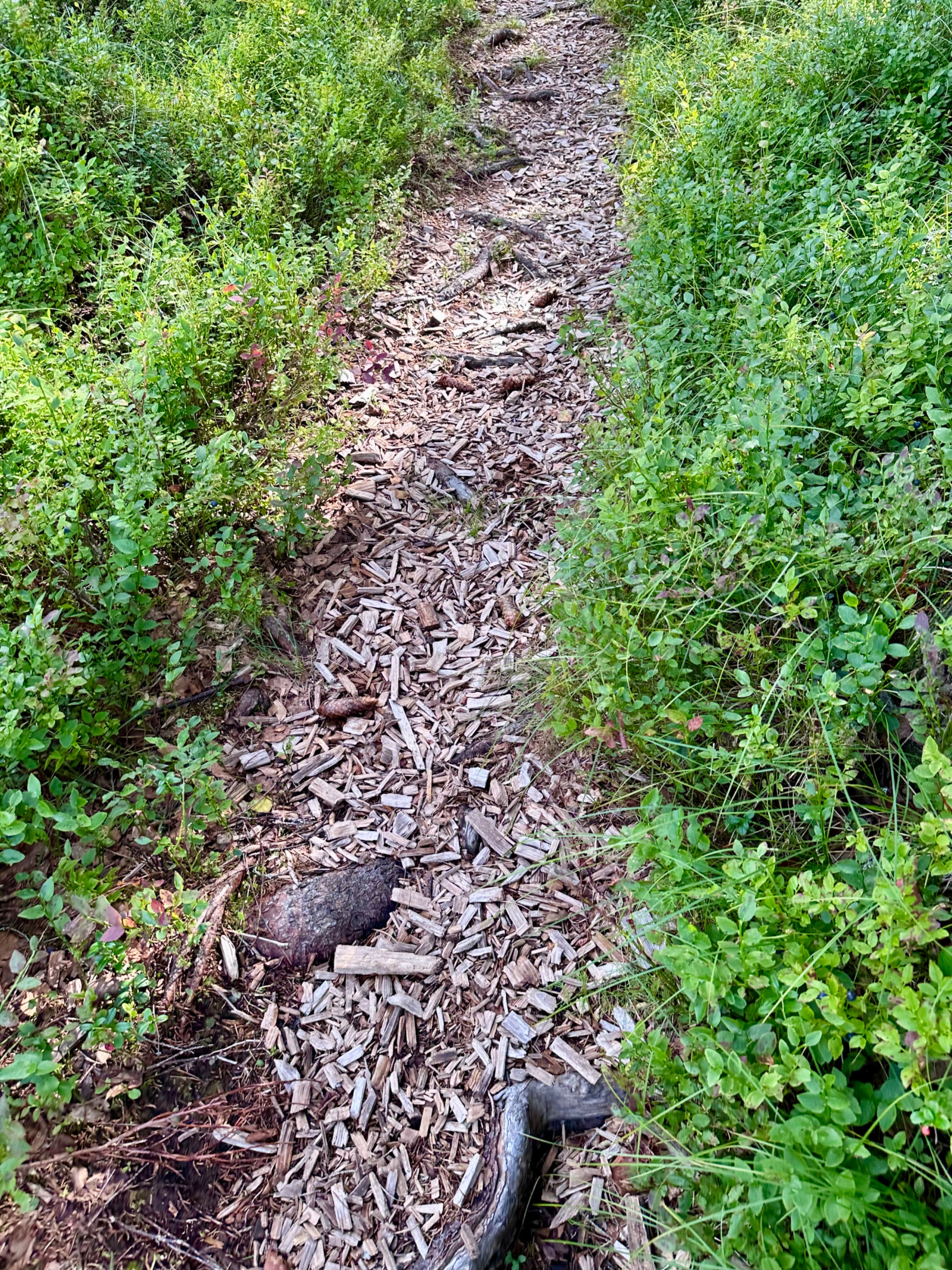
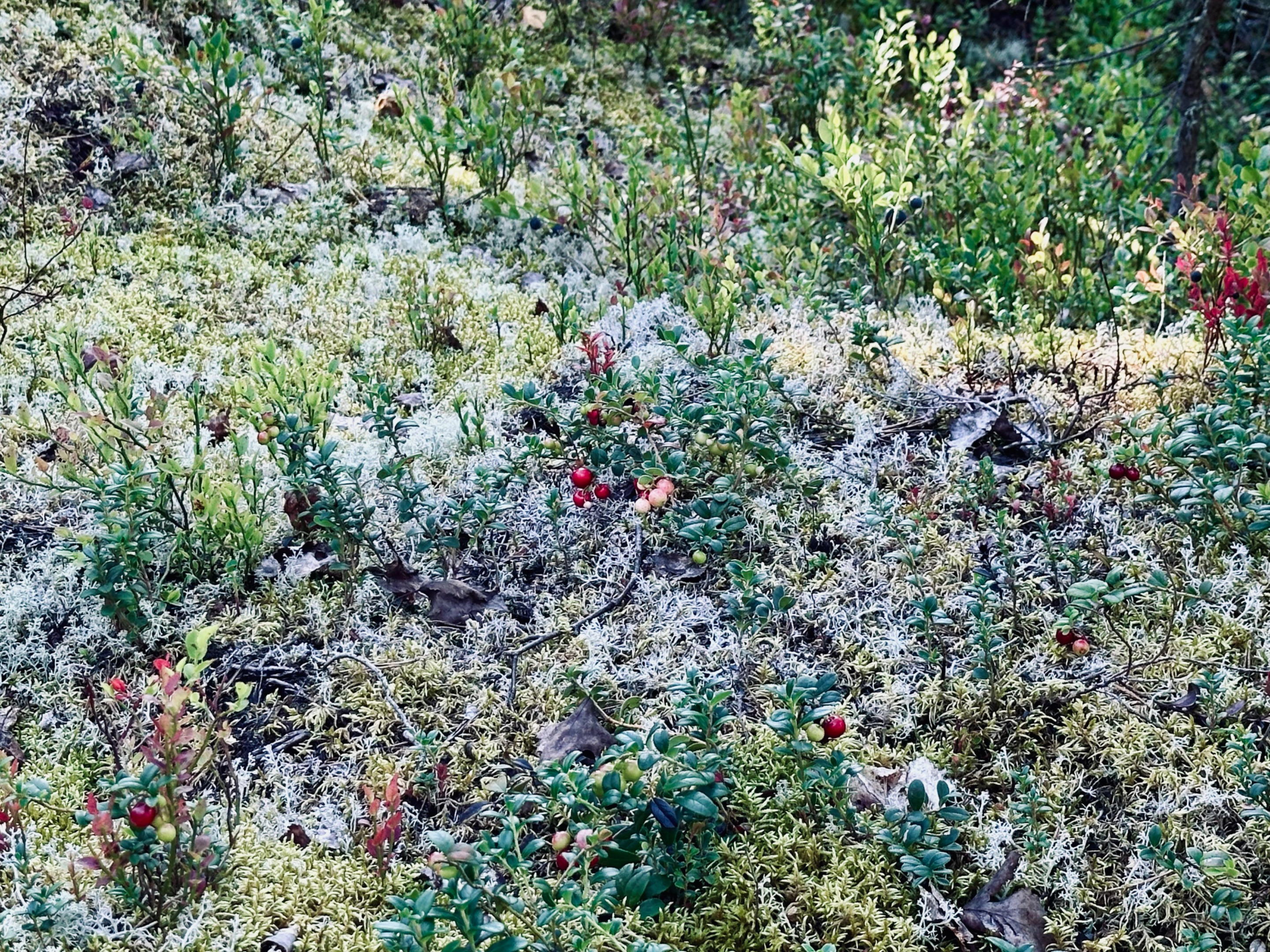
The first part of the trail looks good and is covered by wood chips. Blueberry bushes next to us. As you can see, they are already picked. Do eat some when you still see some. They are delicious.
We reached the first section of wooden boards. They show us the way.
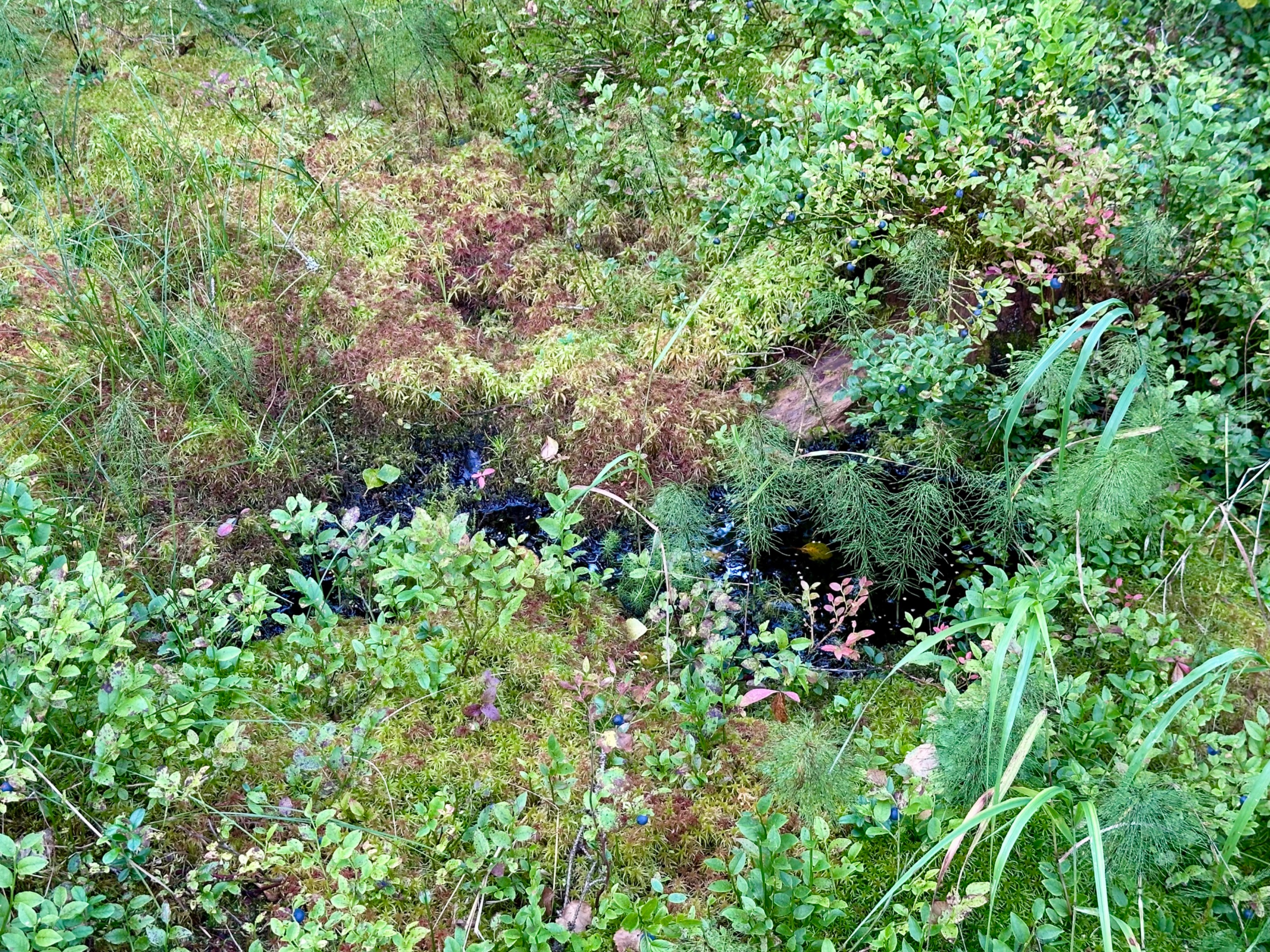
A little stream is accompanying us along the trail.
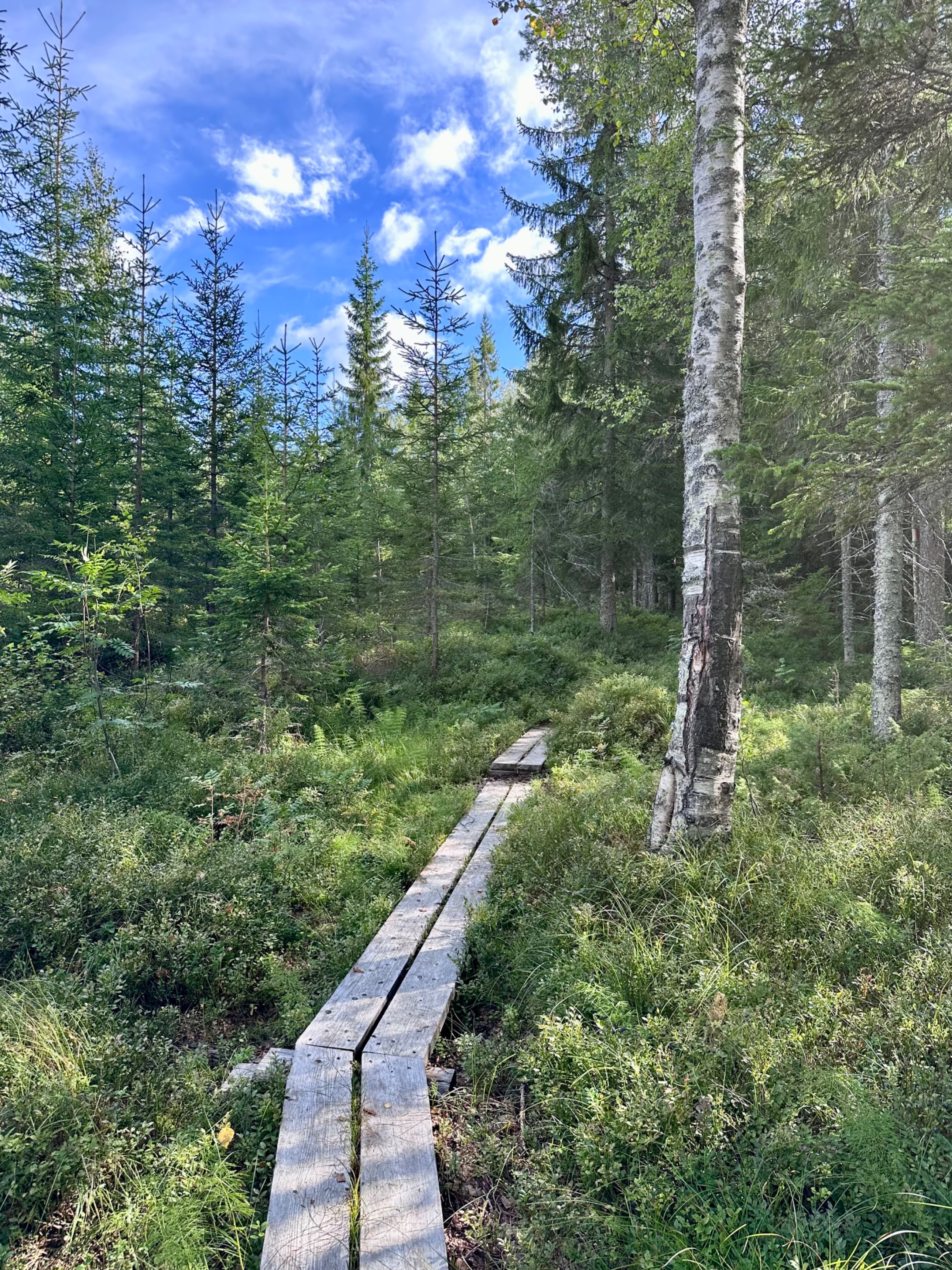
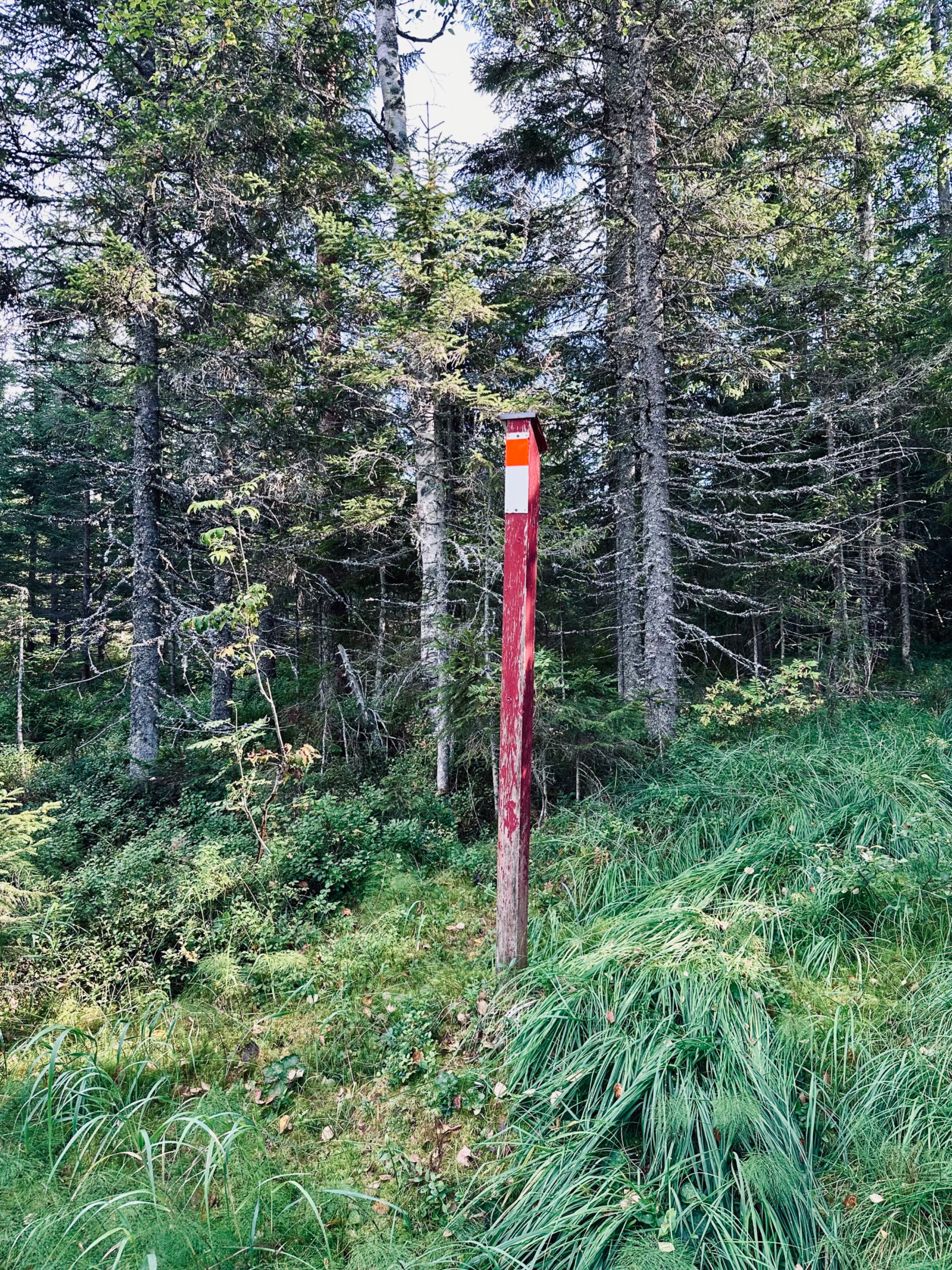
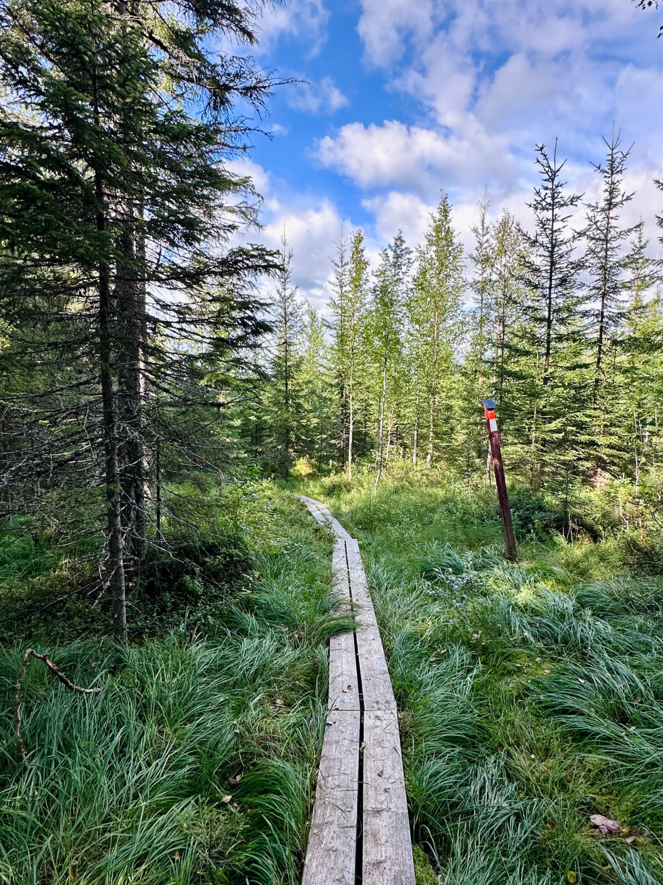
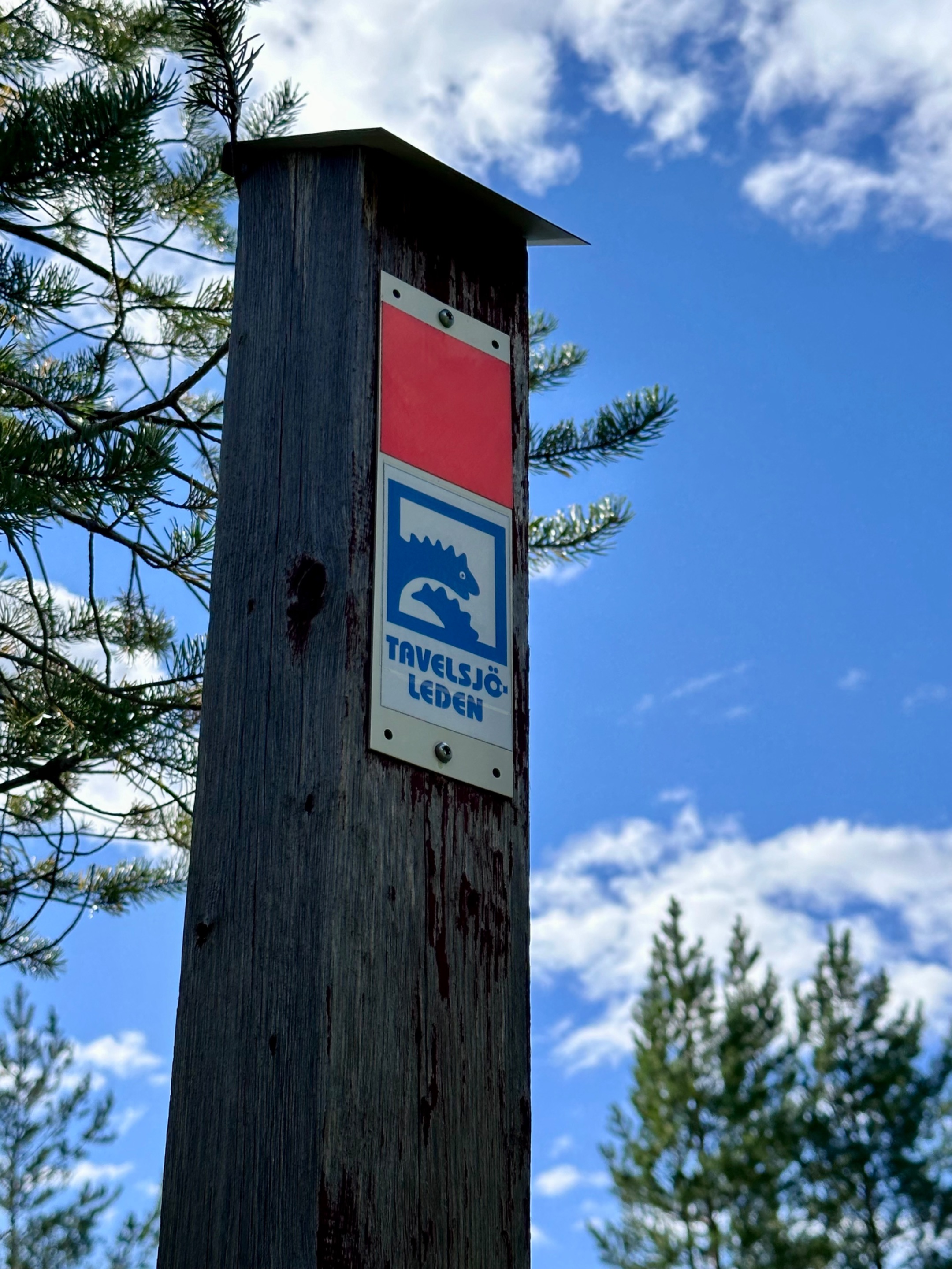
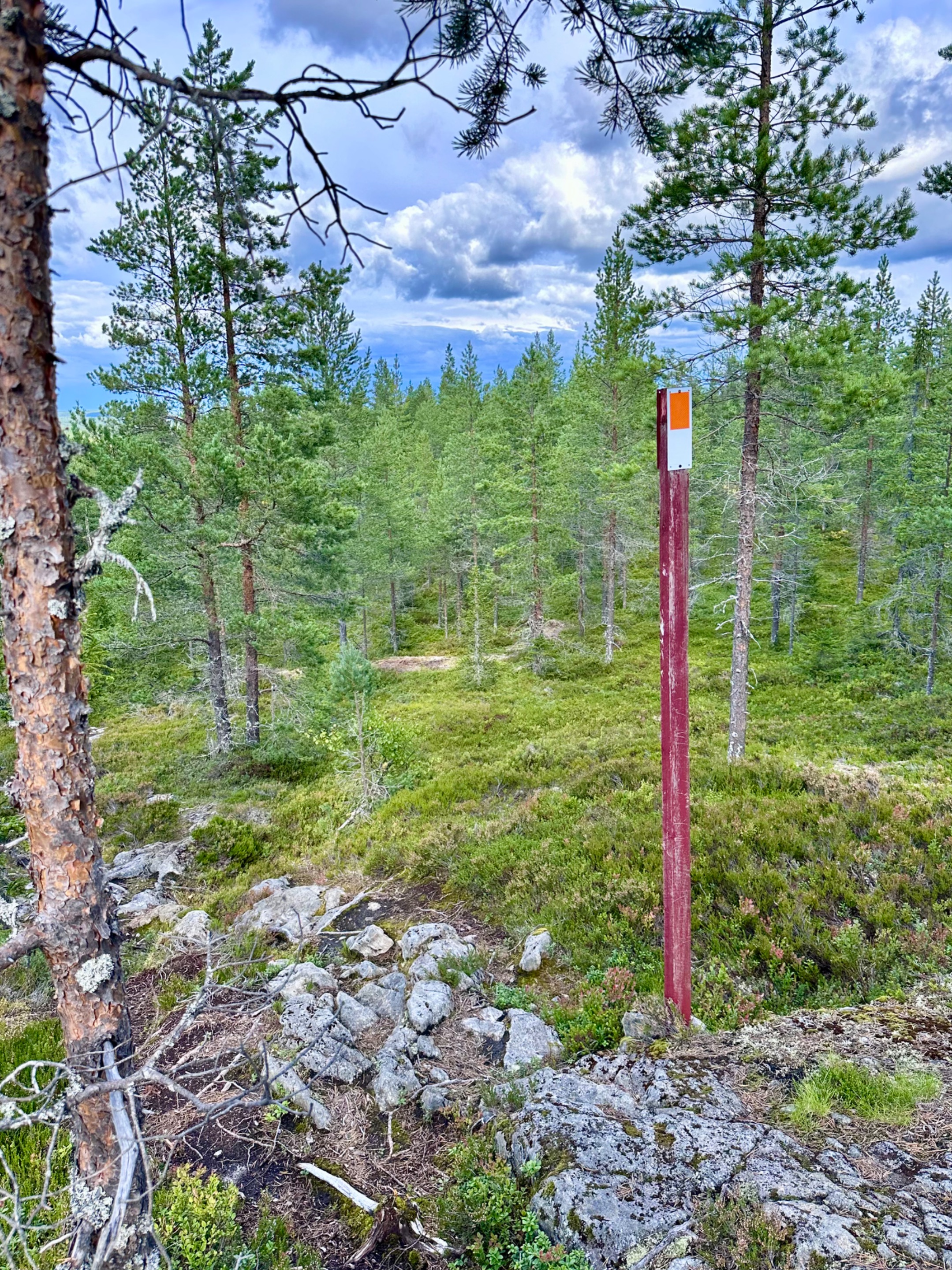
The boards lead straight into a thicker forest. The sign on the left shows us the way to go.
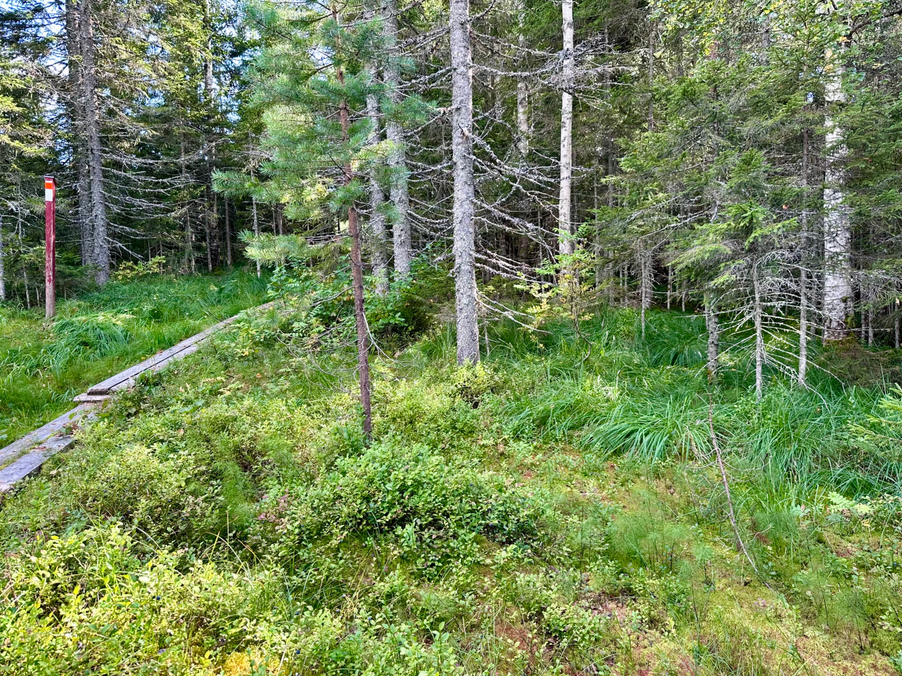
Closer up of the trail sign… we will be following them all the way.
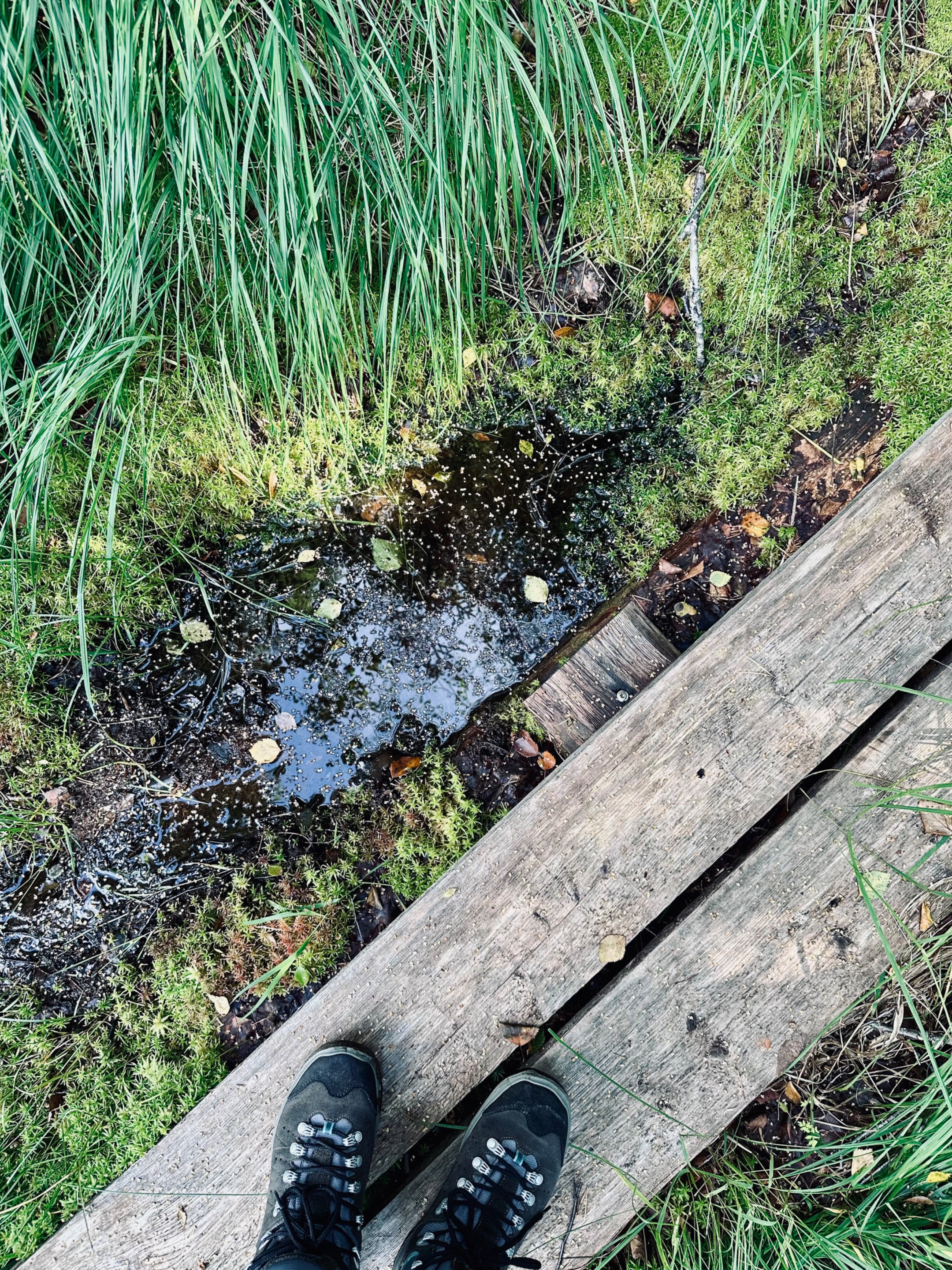
Next to us a little further we see the surroundings are very wet, almost swamp like. So stay on the boards to not get any wet feet.
Today is a lovely day weather wise. Not too hot or too cold, a little bit cloudy, so perfect for this hike.
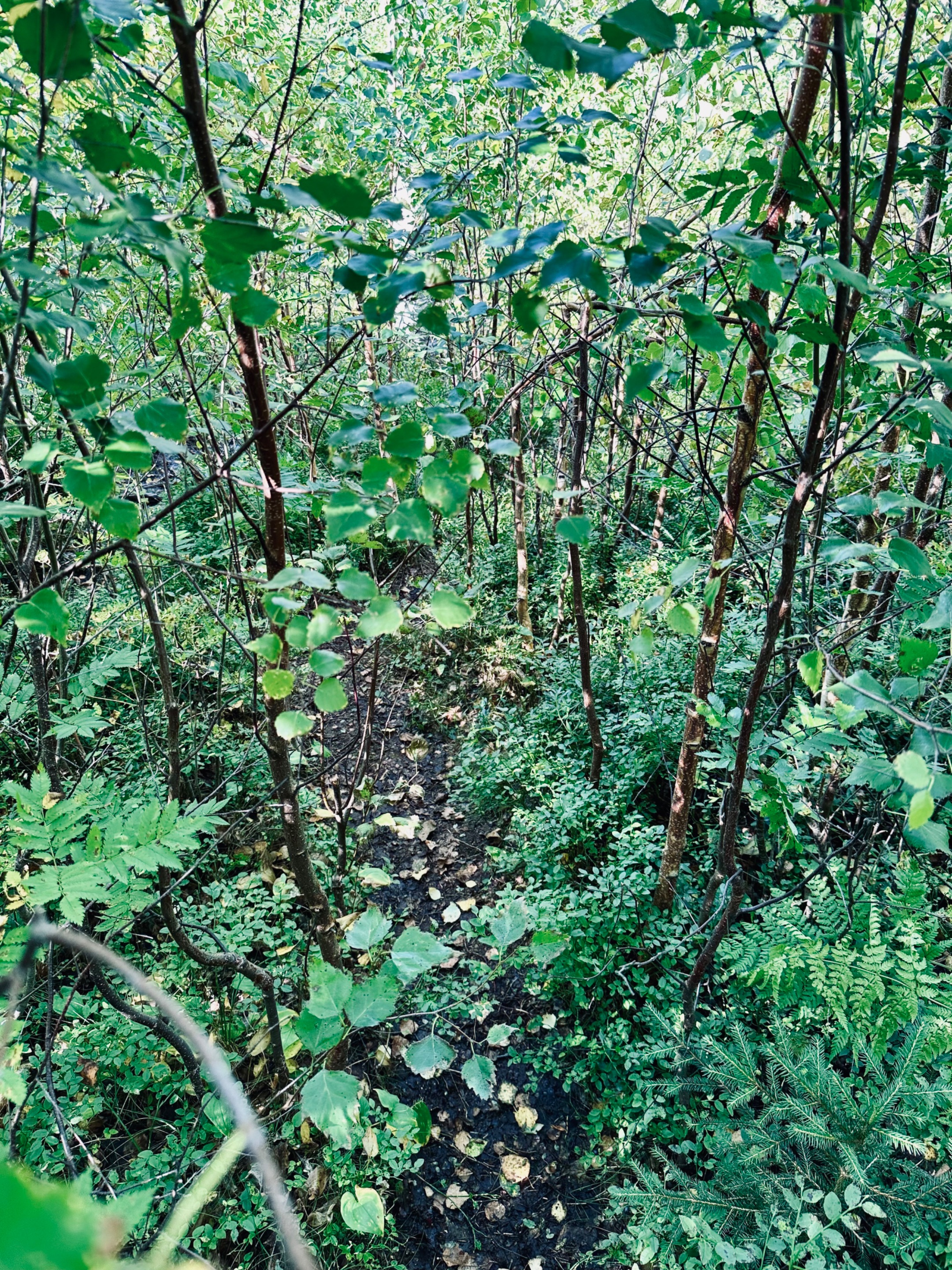
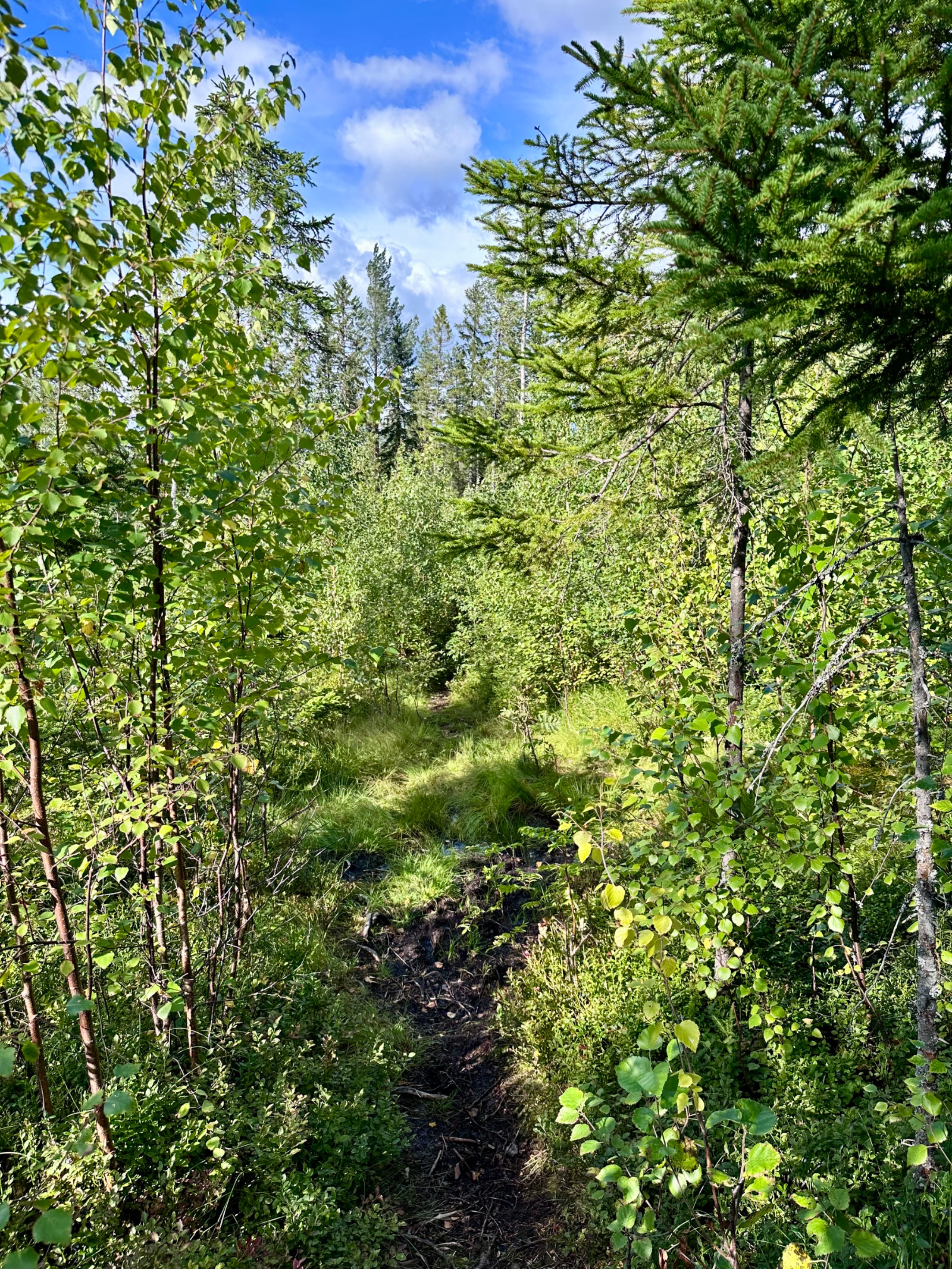
Suddenly we reached some thick brushes. The trail goes right into the middle of it. We will have to bushwhack our way through. Come… come… you can do it. Follow me, I know the way haha
Suddenly we reached a section we have to go through the stream. Normally it isn’t this full with water or muddy. Today we are not in luck as it had rained days before.
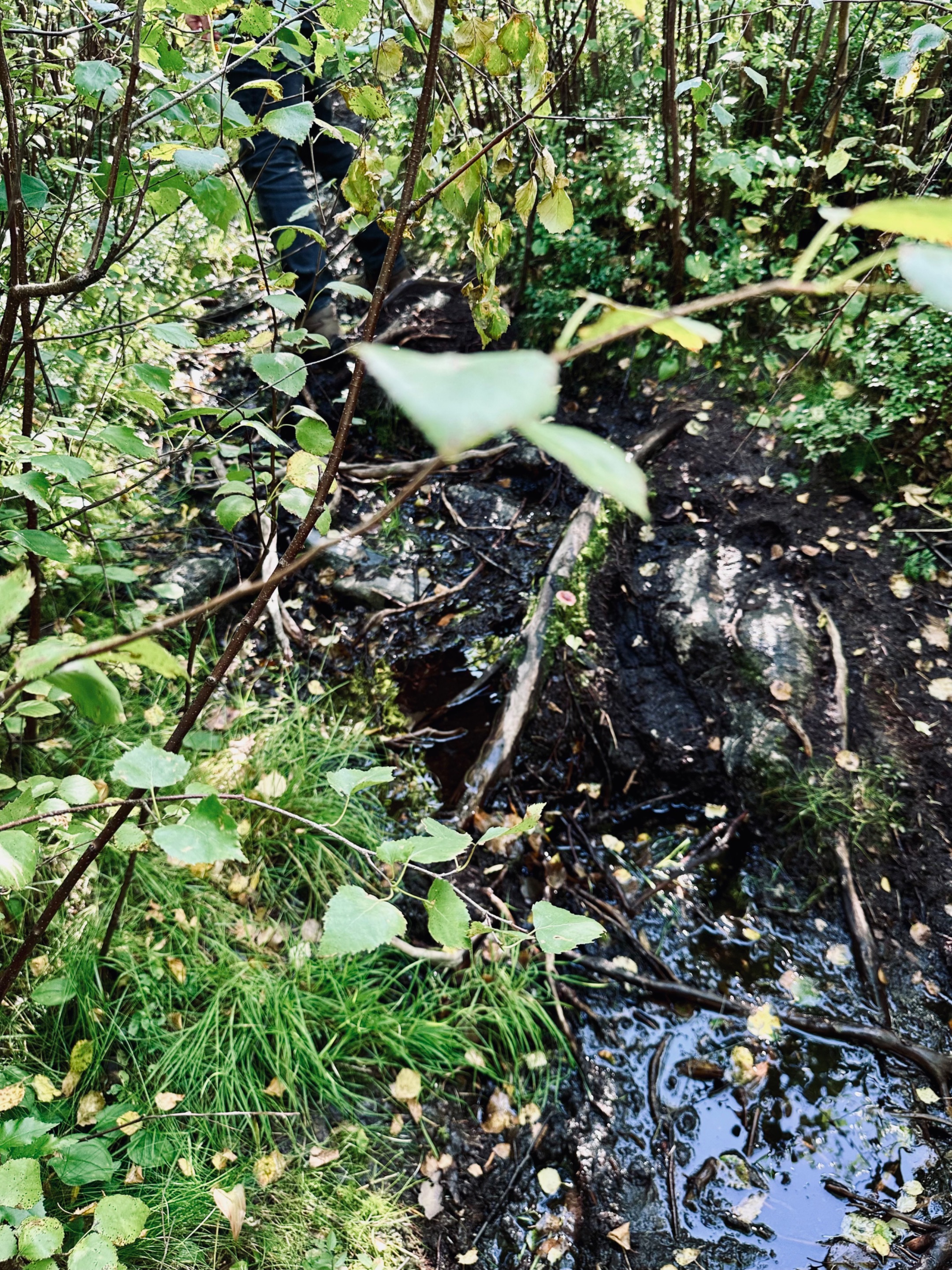
Slowly, bushwhacking further… we make our way through, be careful not to slip as it is very slippery.
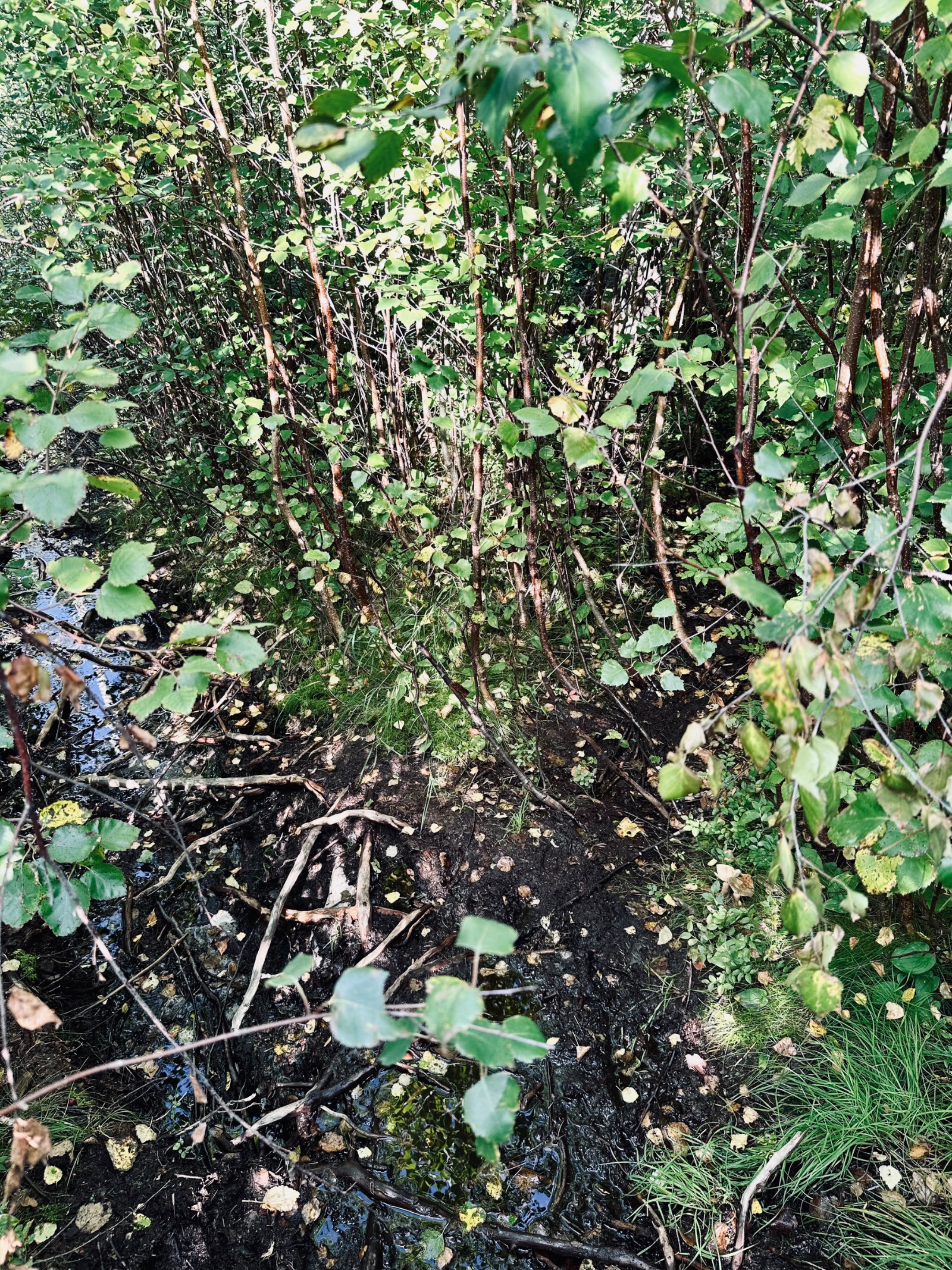
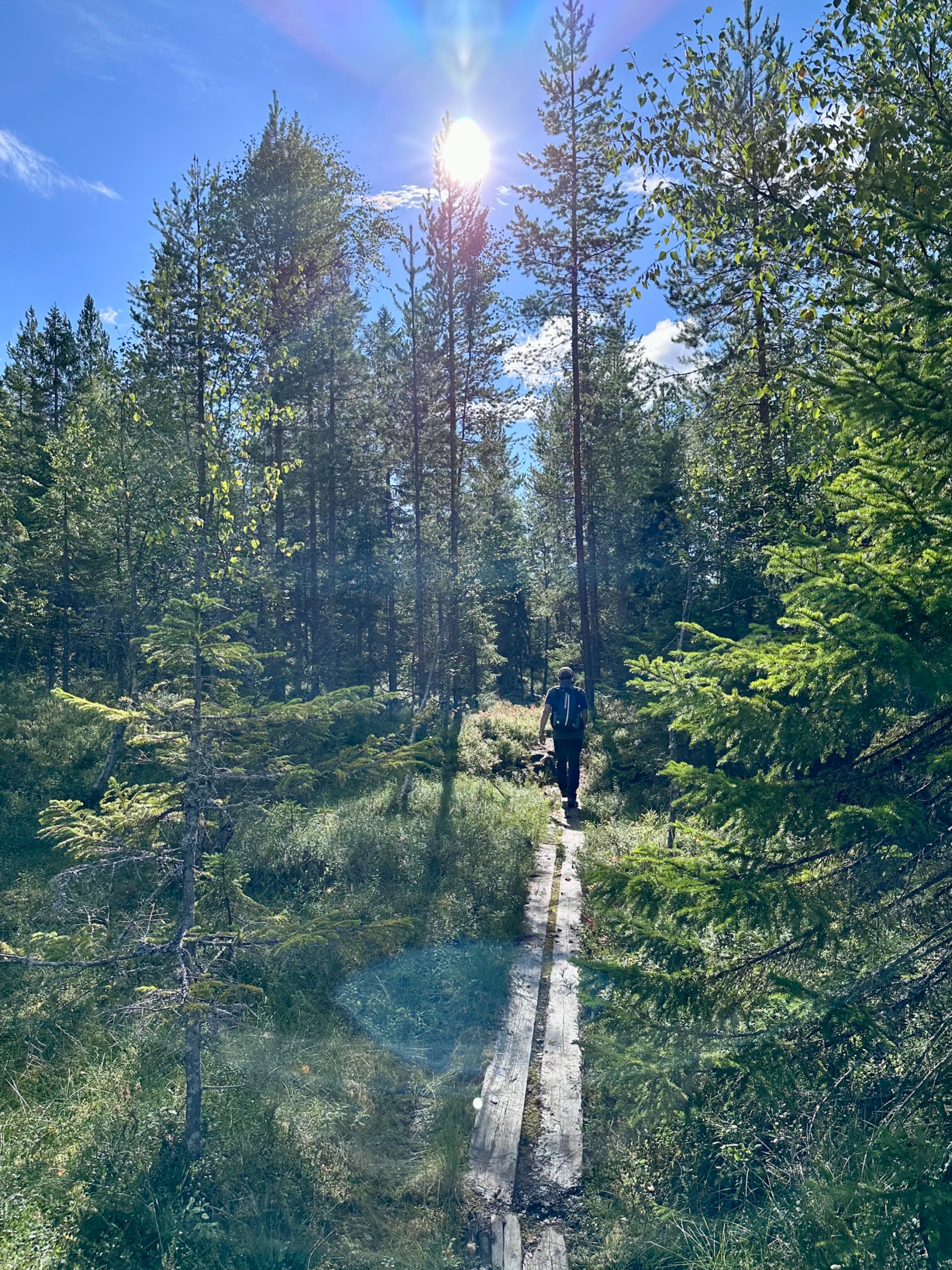
Finally it is opening up.
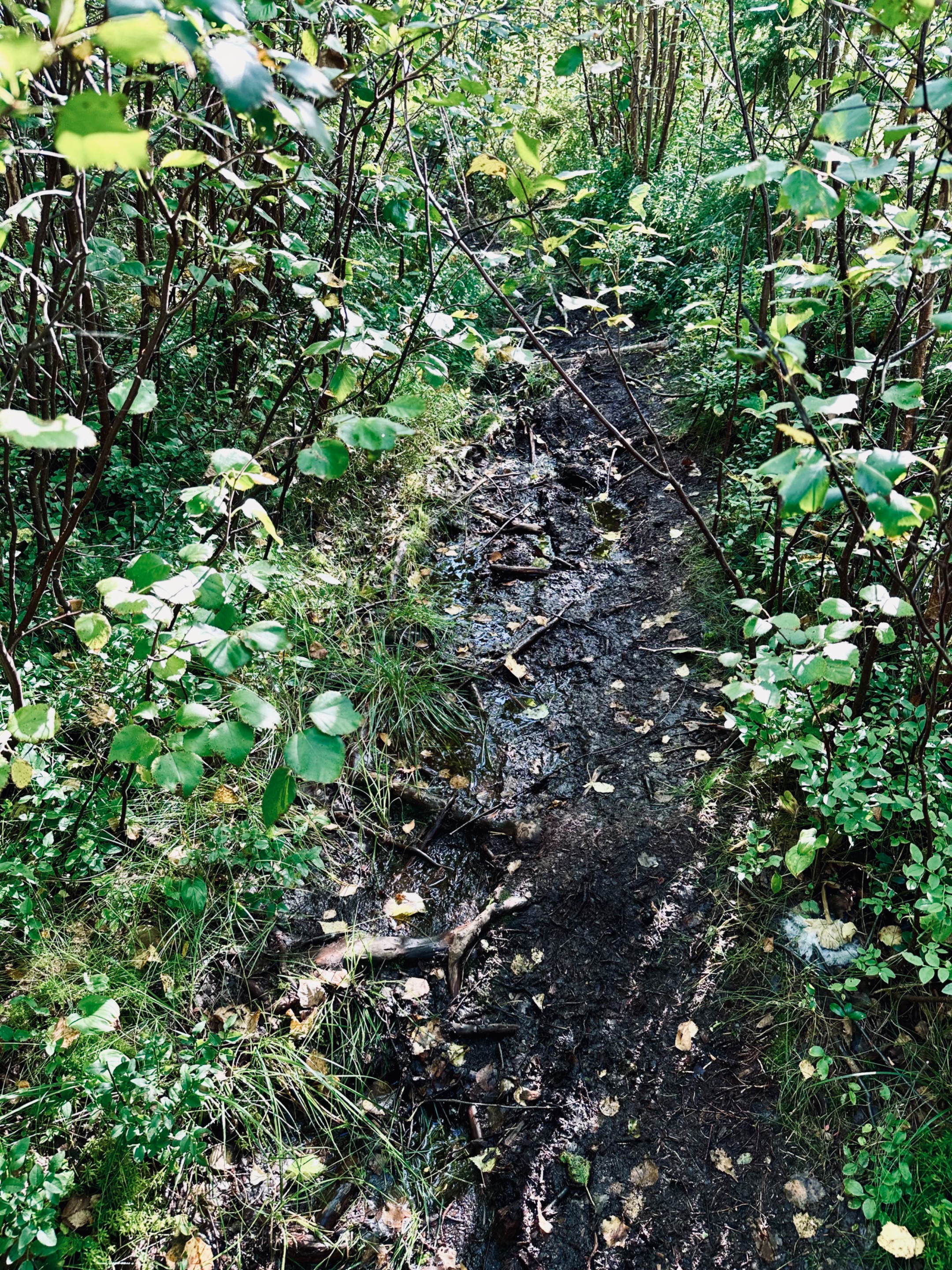
And we reached the end of this section. Believe me from now onwards it will be easier… and yes, it will be worth climbing up the mountain further. As the views are stunning. I know you can do it. So let’s go.
The sun is peeking out behind the clouds now. Wait for me… haha I’m coming. Let’s jump on the boards and continue our trail.
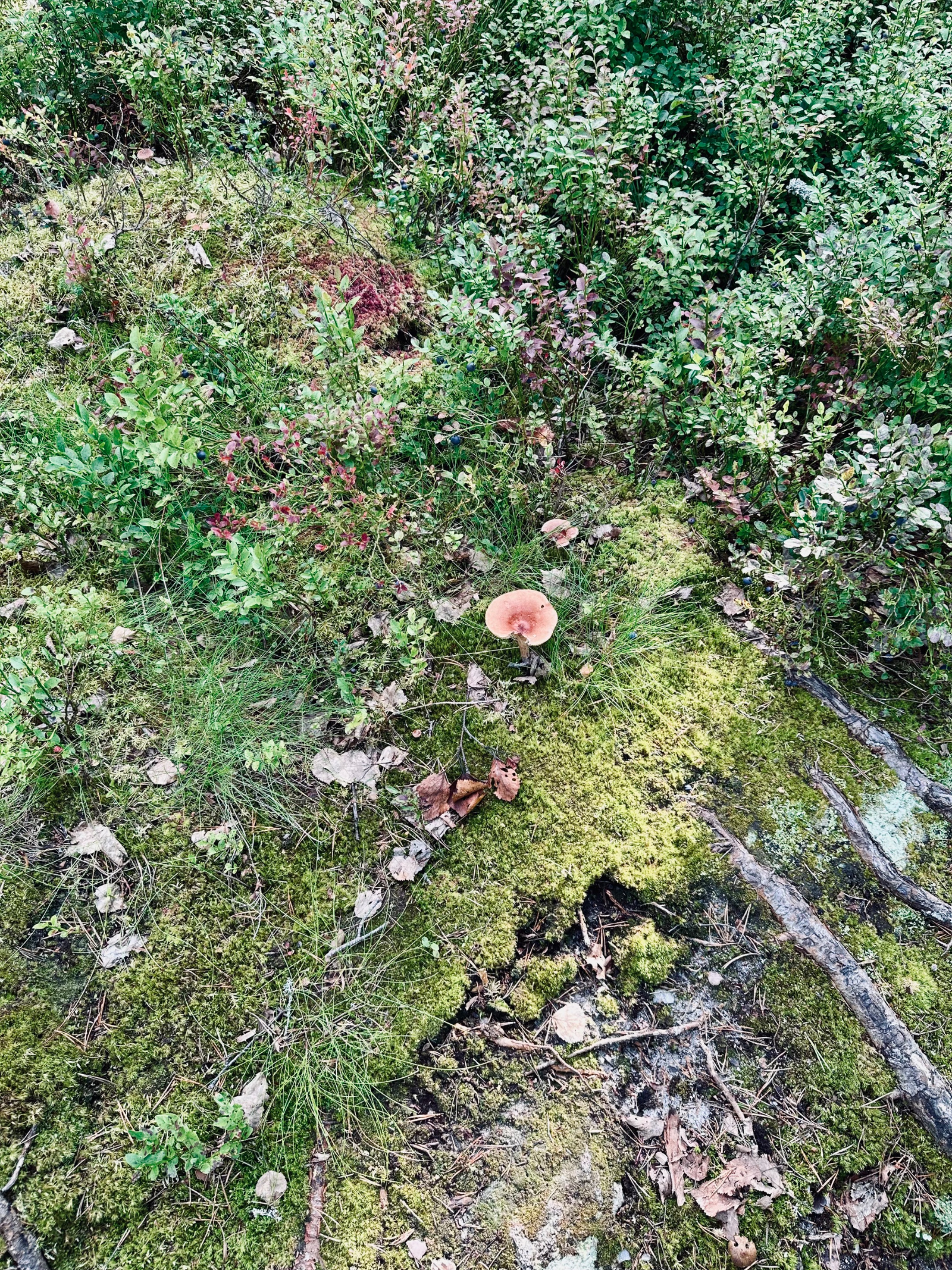
Next to us we see lots of mushrooms. Don’t forget to look at the details around.
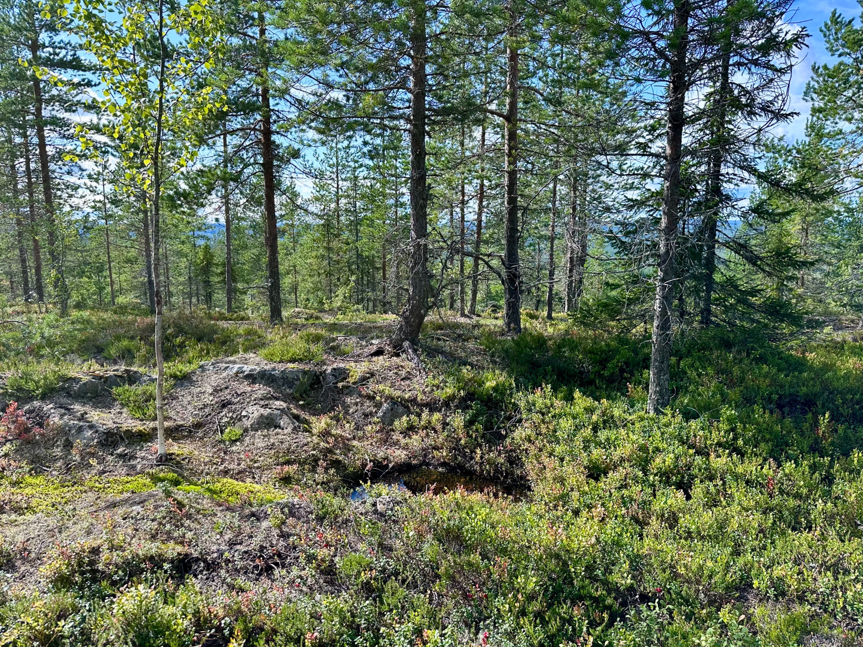
We are slowly climbing up now, the trail goes over rocks and around them via narrow paths.
I spot some older mushrooms on a rock covered by mosses.
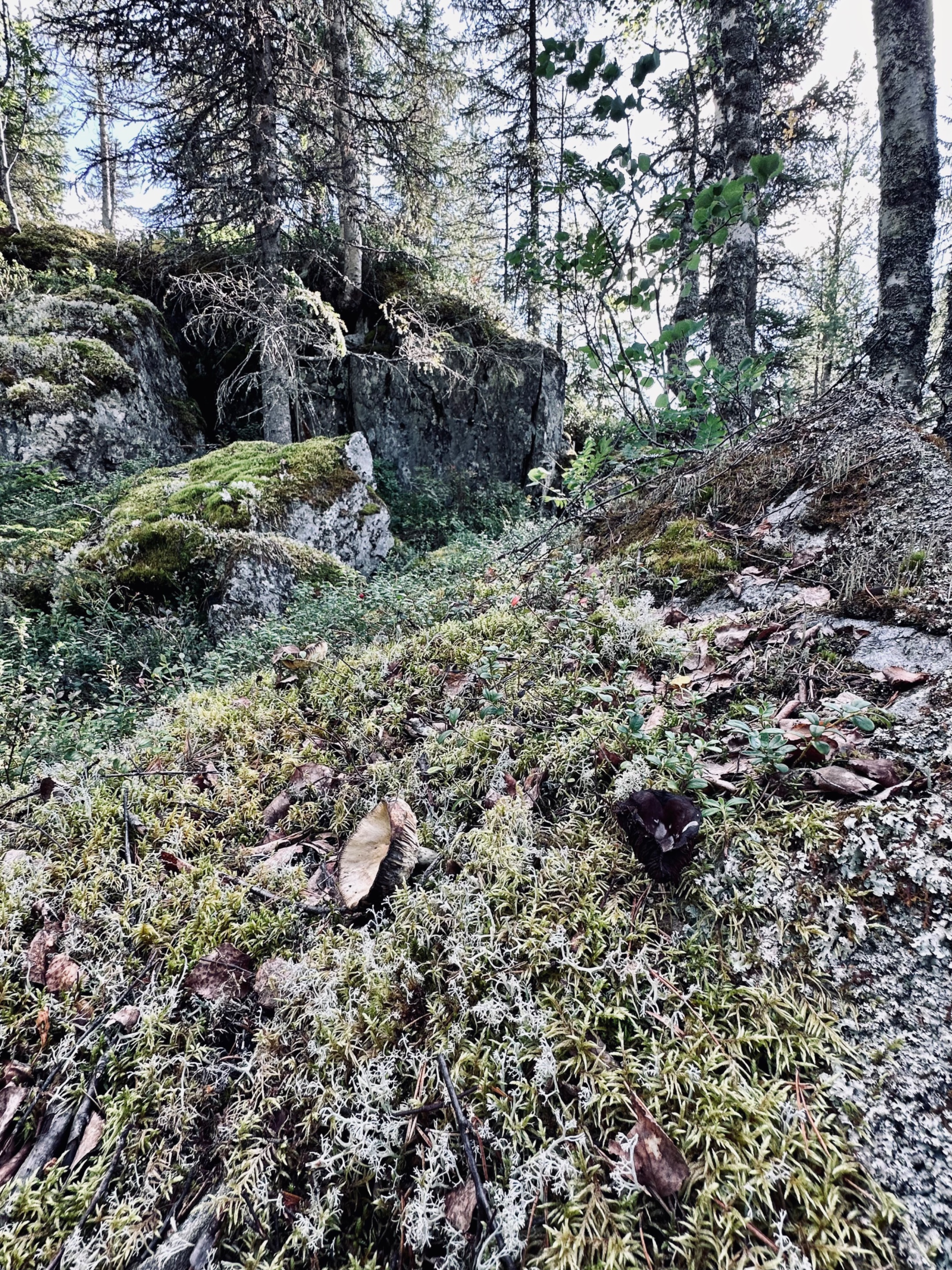
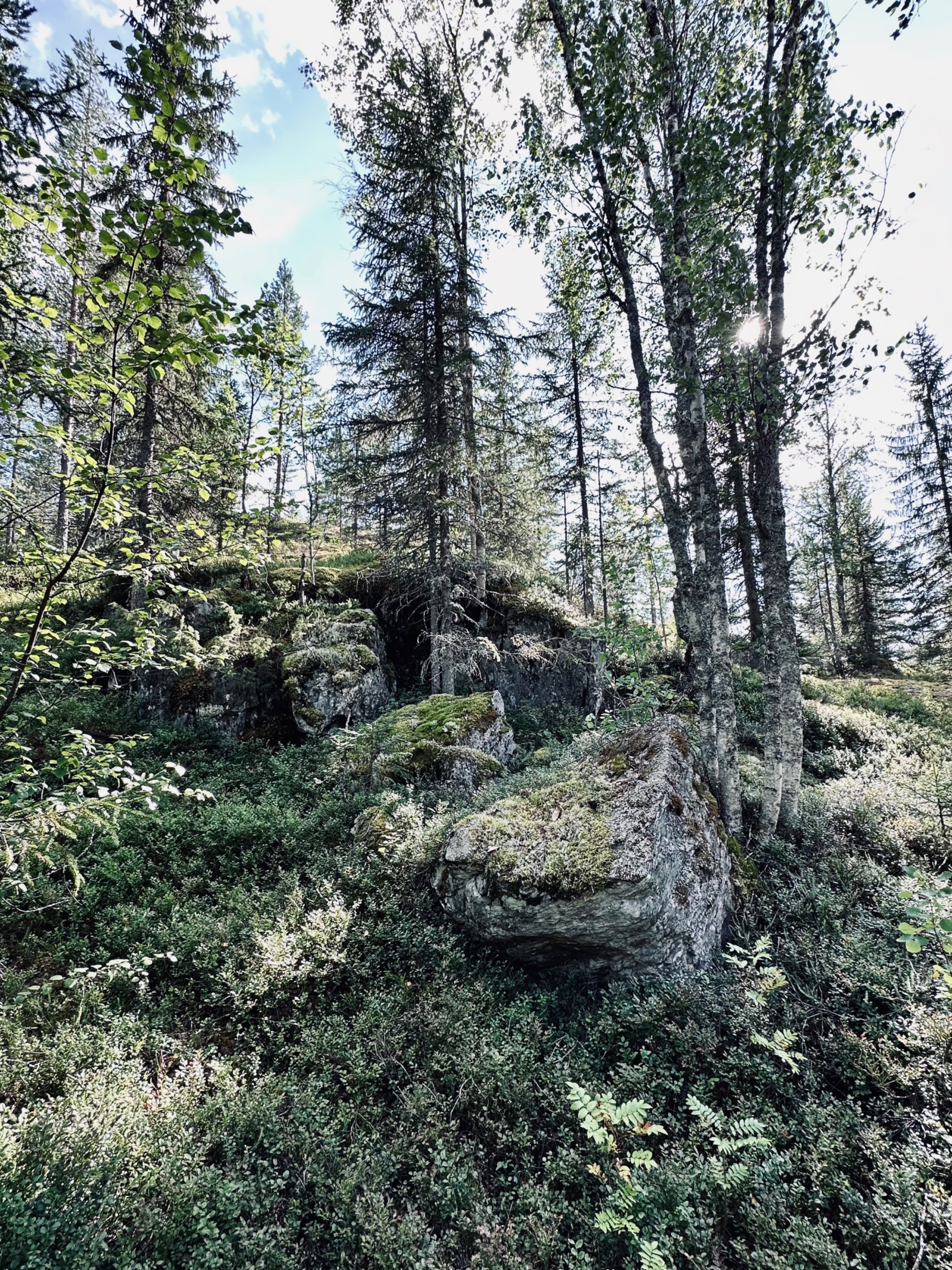
Even the trees are growing on the rock face here.
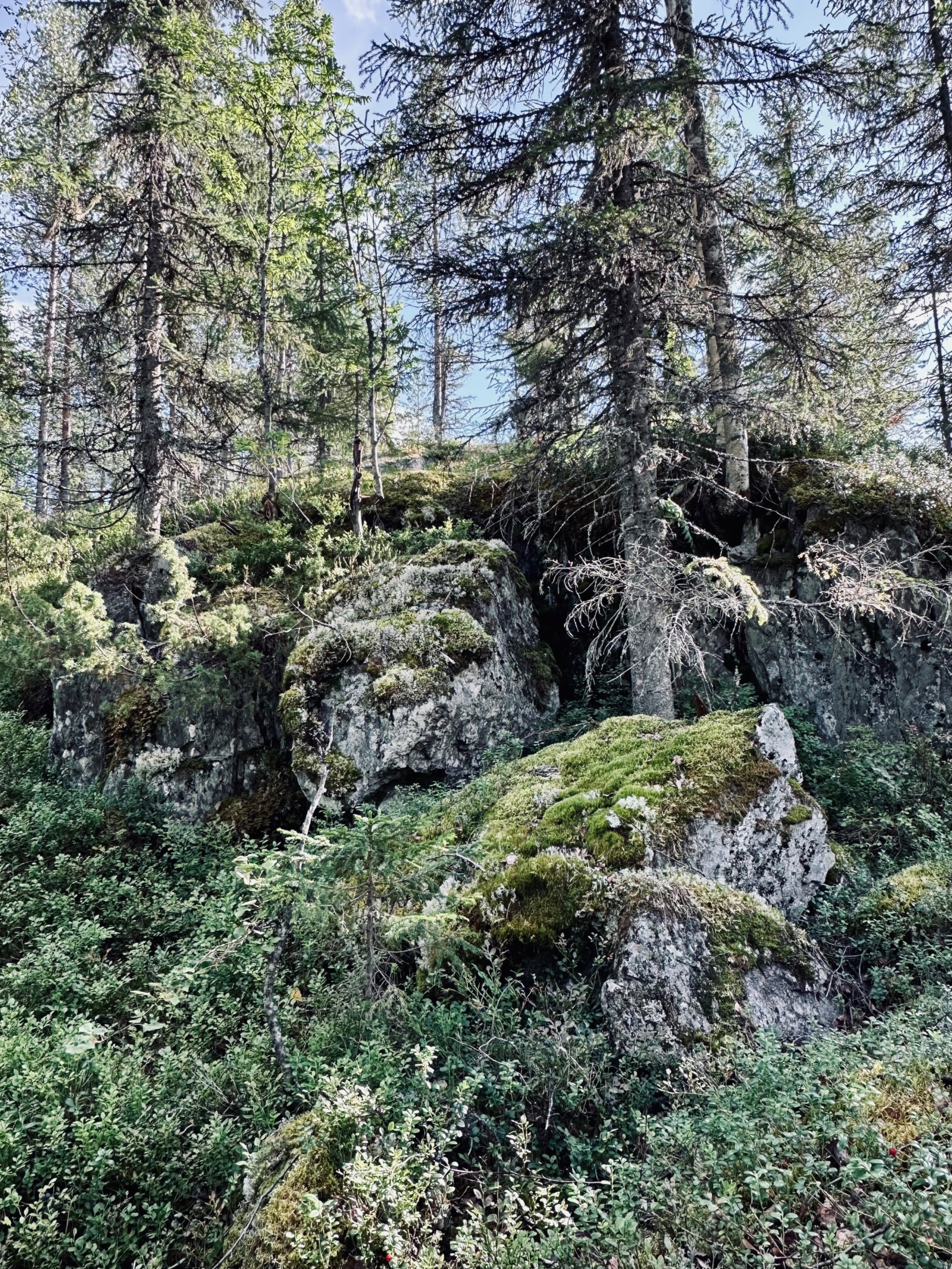
I like how the rock is weathered, cracks from movements throughout the years. So cool to see the trees could grow on them.
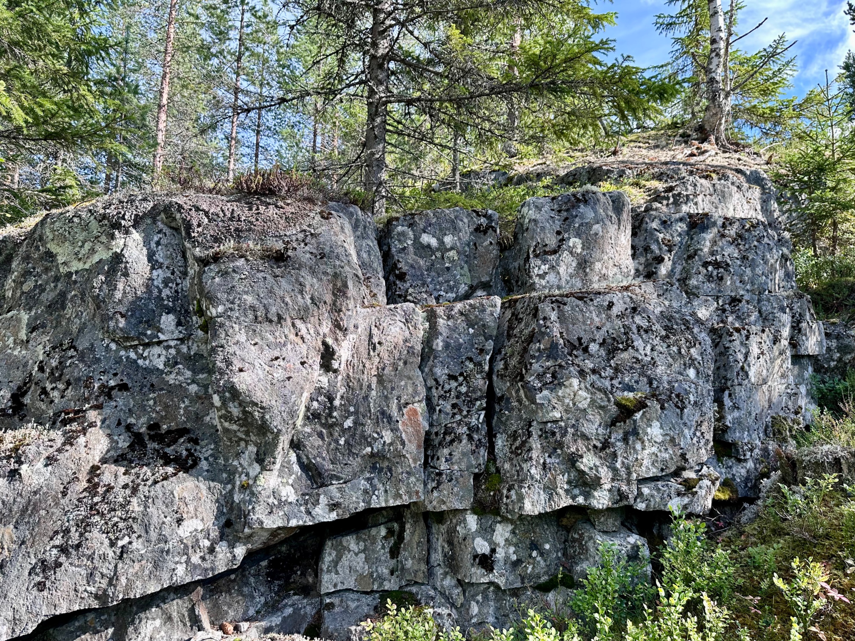
We see how steep it goes up now. Let’s continue.
Different berry bushes in the moss. I like the red against the grey.
The trail marker… we are still on it. Going higher and higher up now. Over smaller paths climbing boulders.
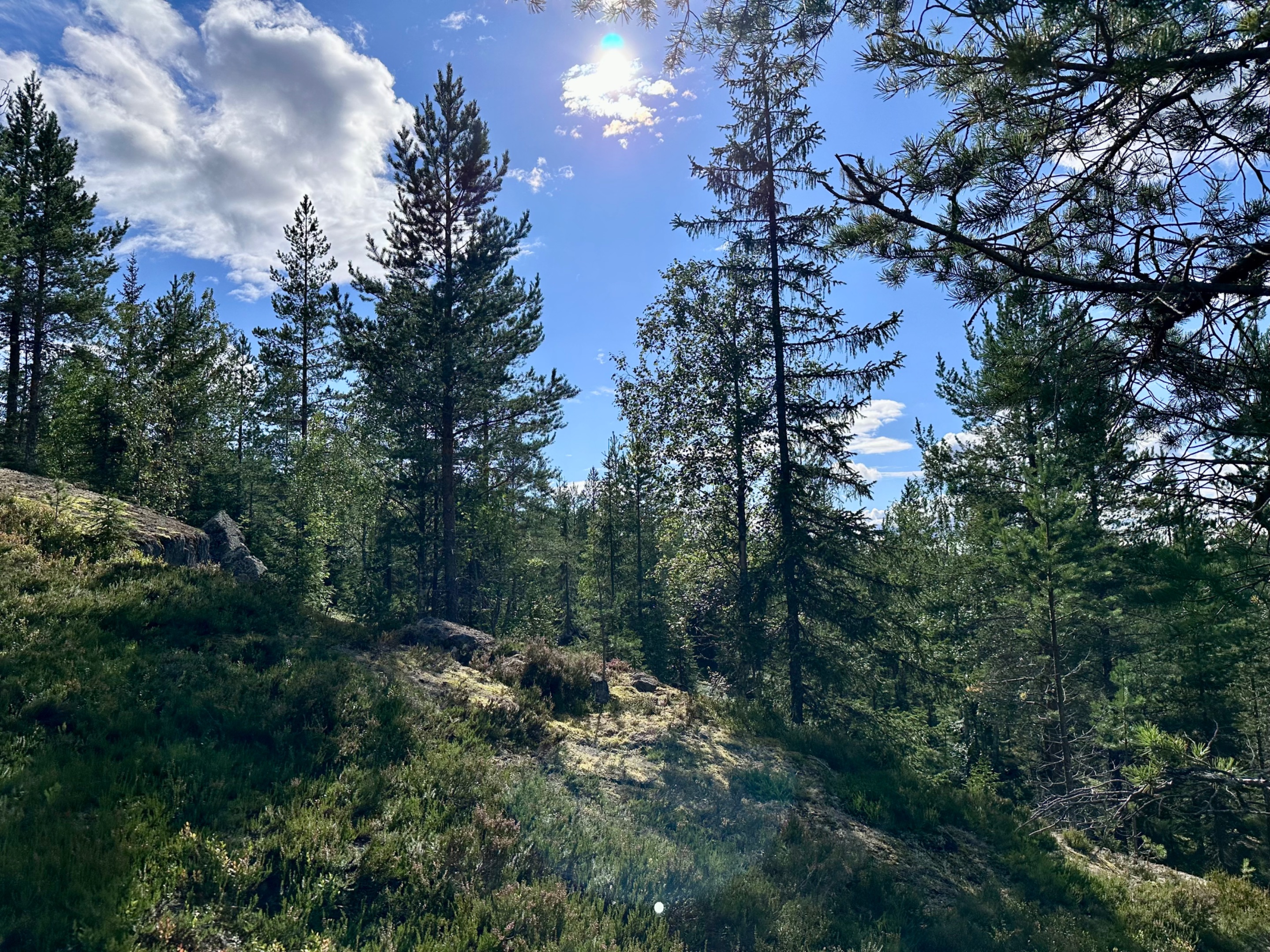
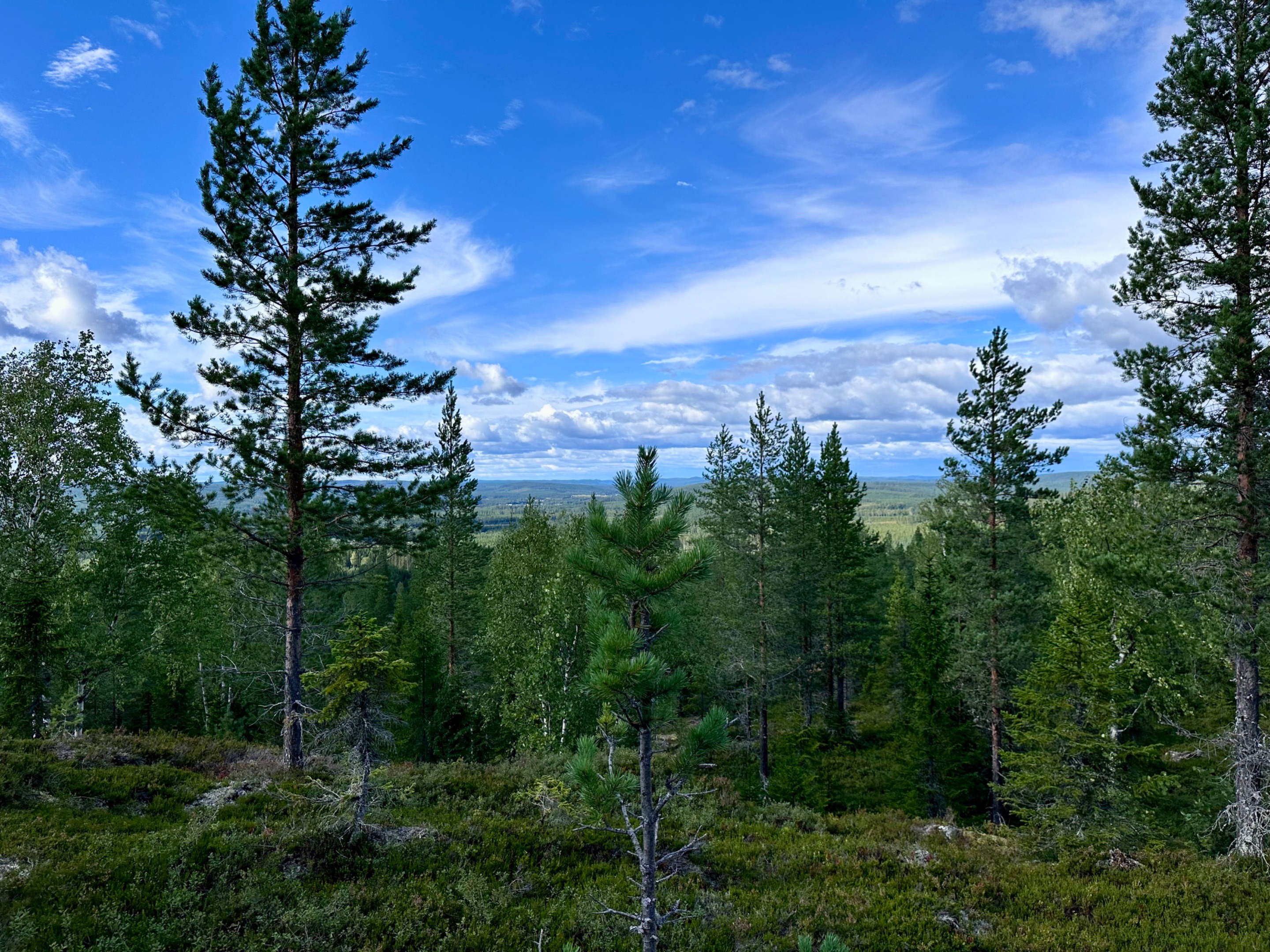
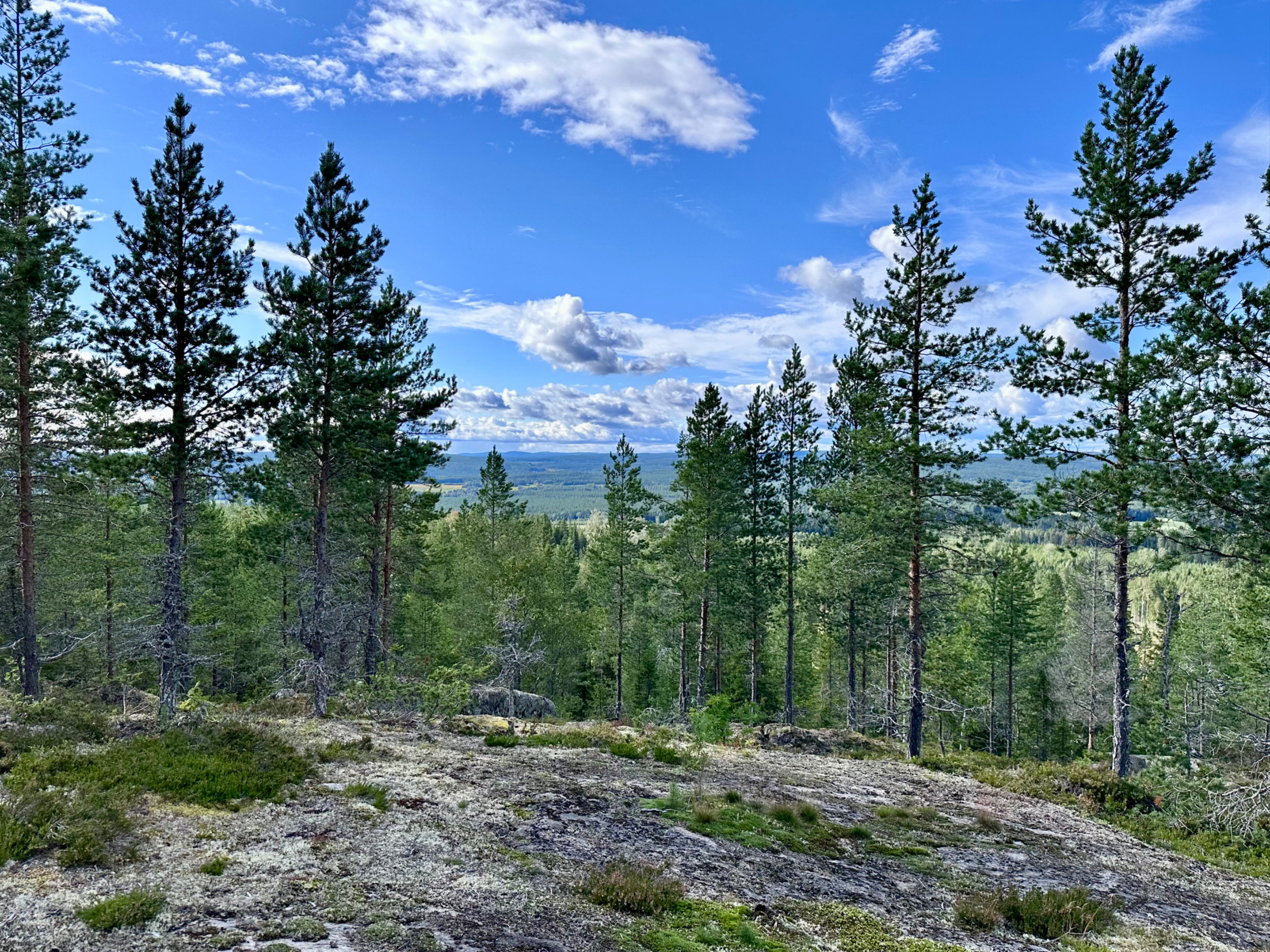
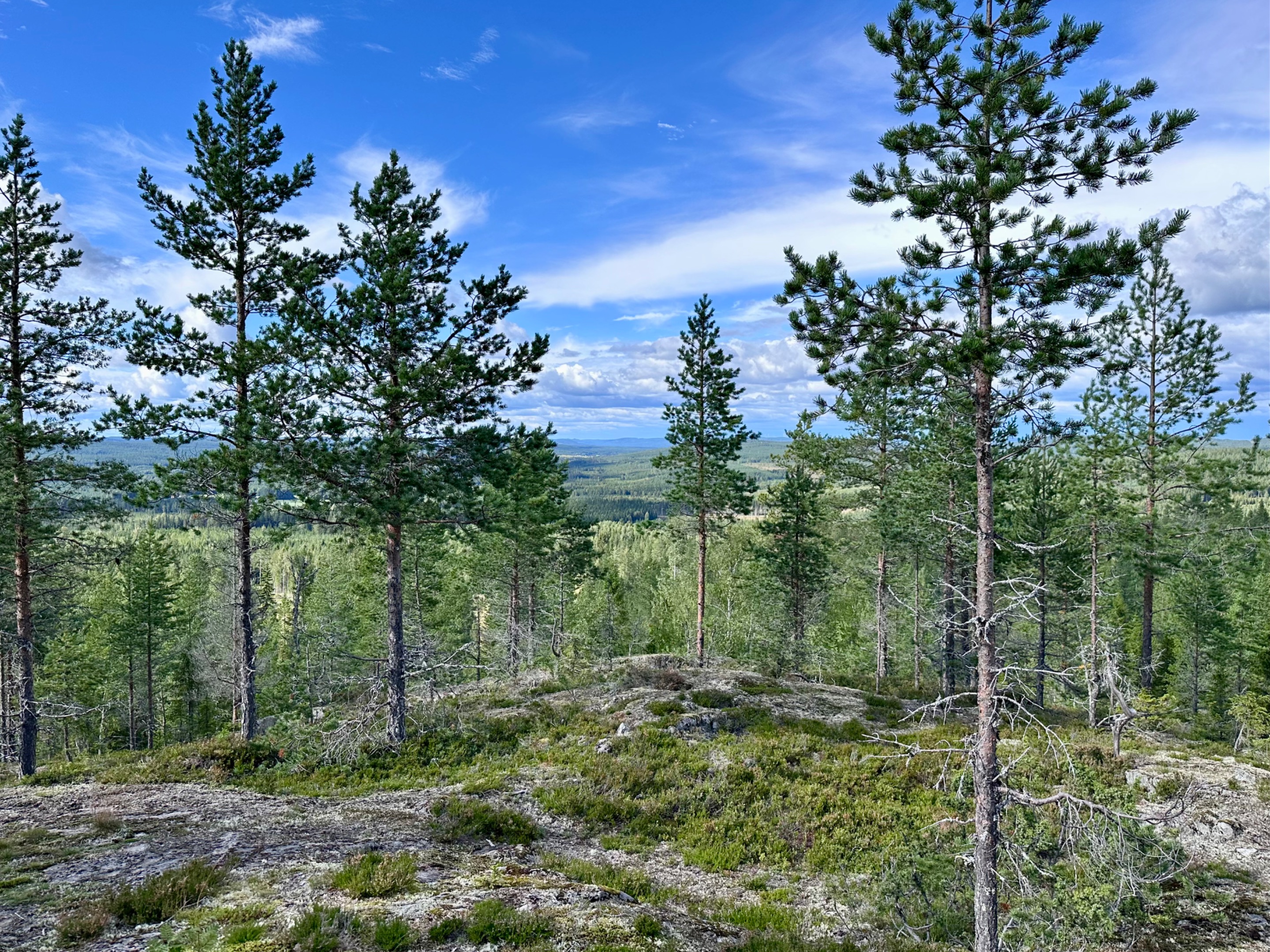
We are starting to get a glimpse from the views around us.
The trail looking back to the right.
The views to the left.
Already stunning, lets take a moment and look, truly look…
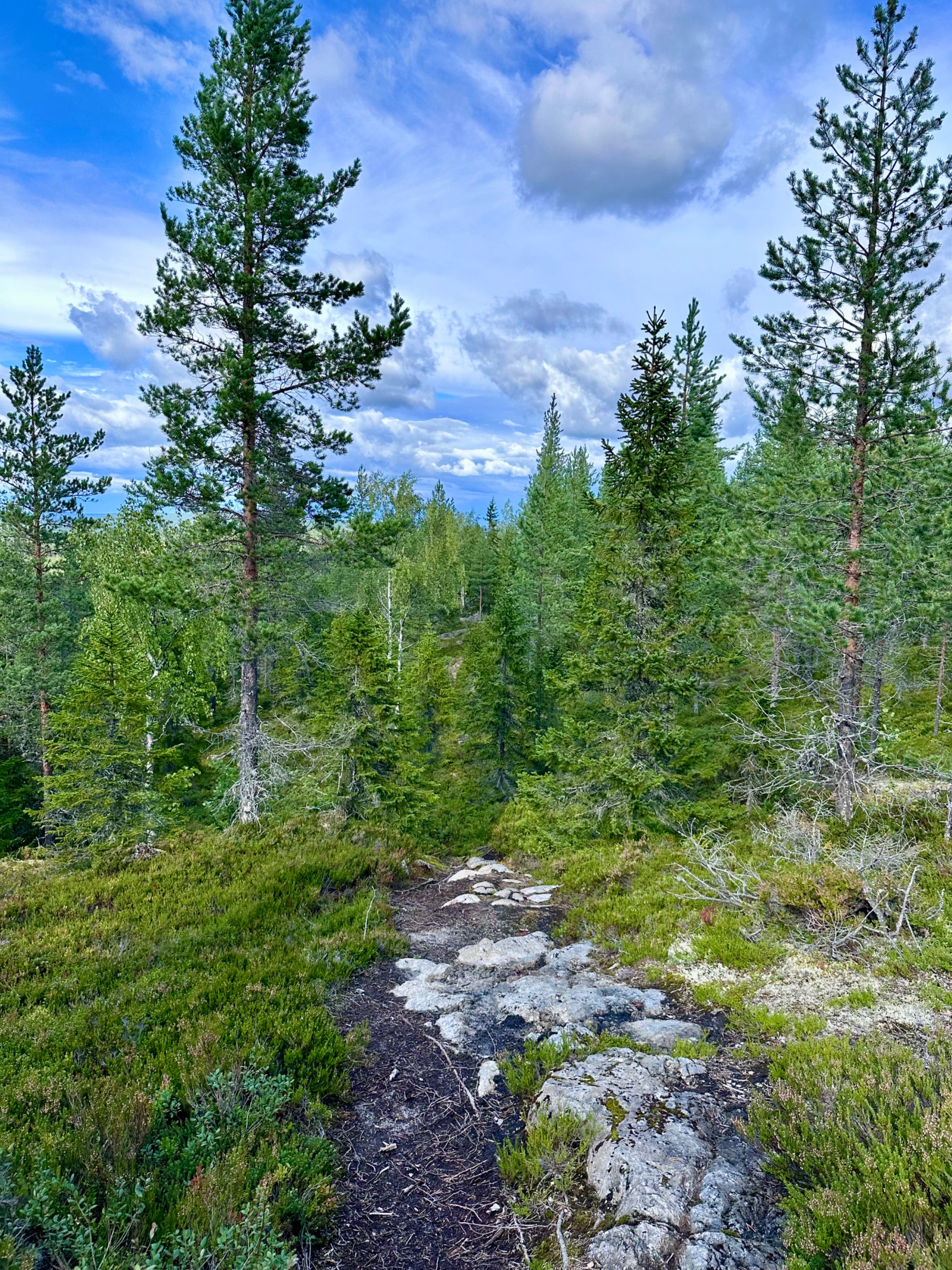
We go over more rocks.
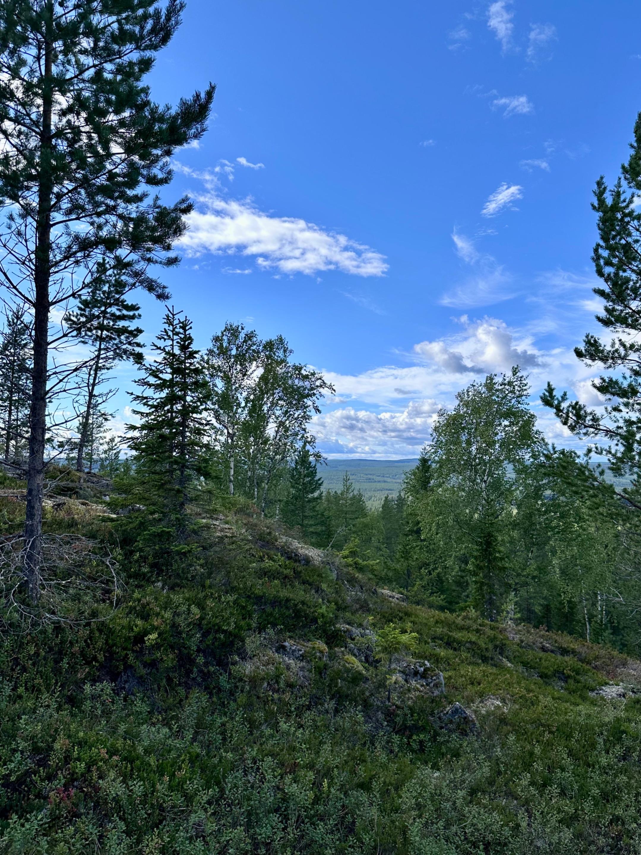
The trees are framing our view, the higher we get.
We are trying to look through them into the distance.
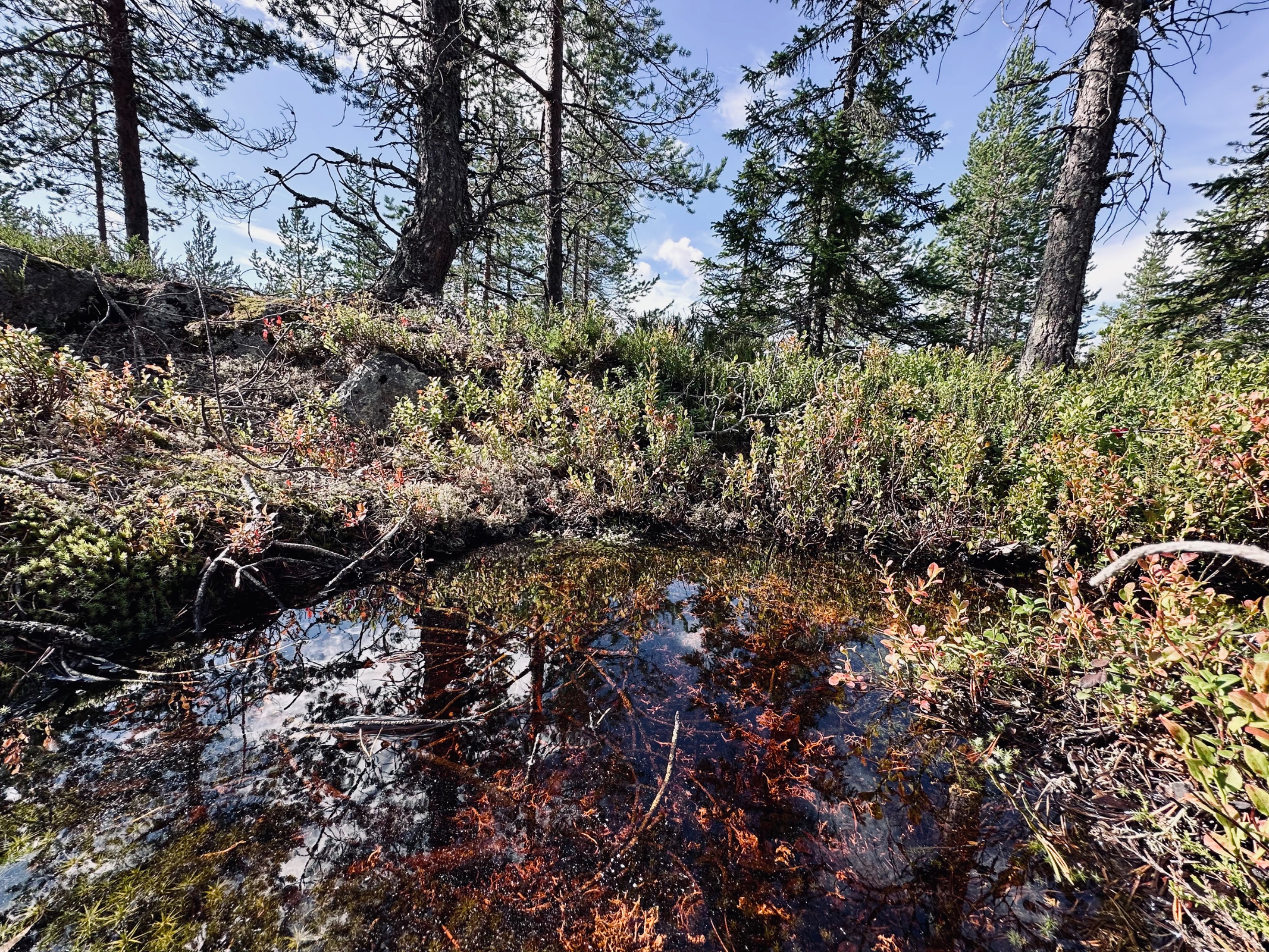
I see some water, let's check it out.
Getting closer we see it is a little pond where water has gathered. Wildlife will love this spot.
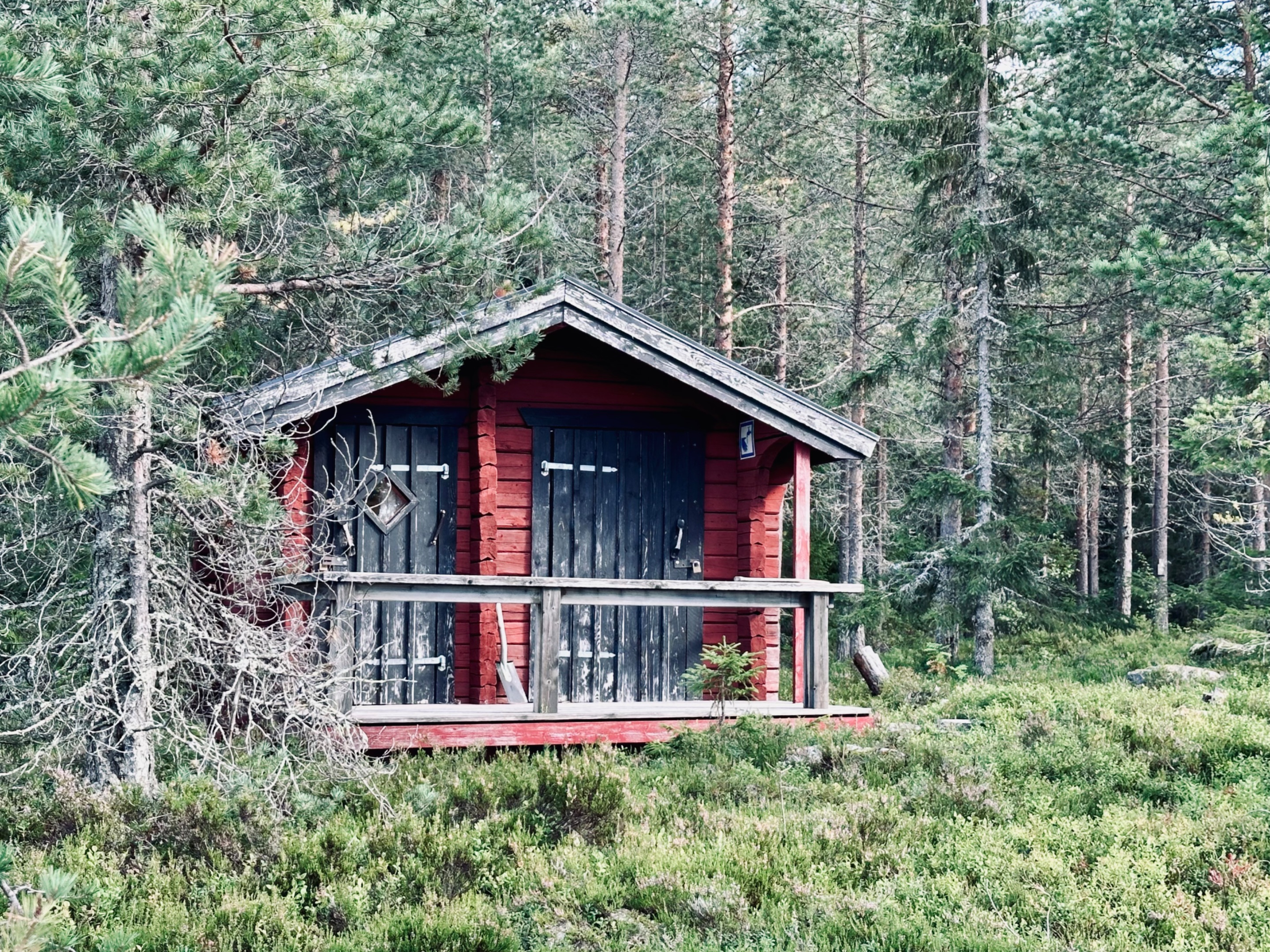
Suddenly I see a small cabin. It’s locked 🔒
We walk further and get a glimpse of a larger cabin behind some trees.

We walk to the front of it. It has a porch with tables.
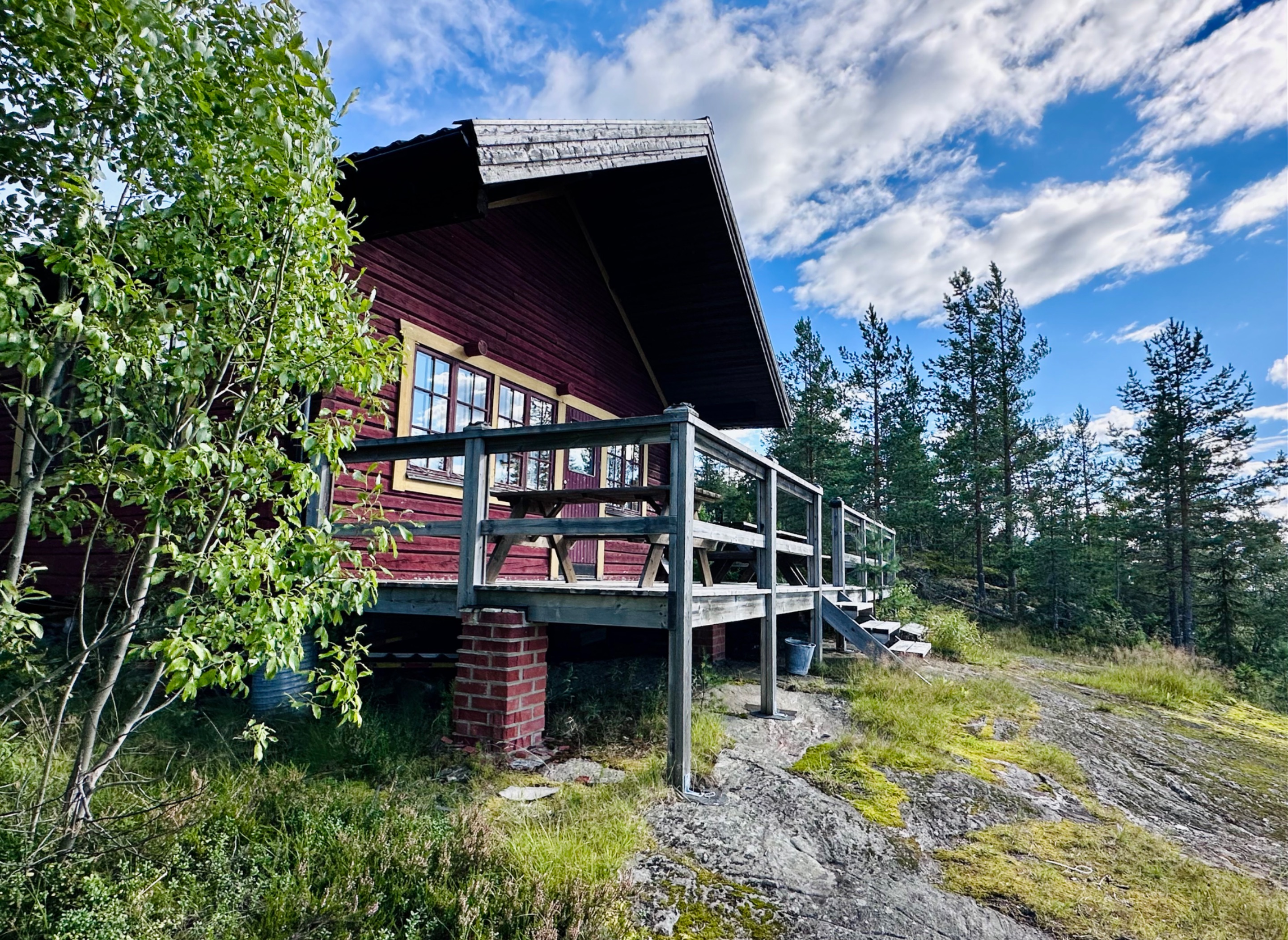
Steps up… let's check it out.

Enough space for a little break, some food and a hot coffee me thinks.

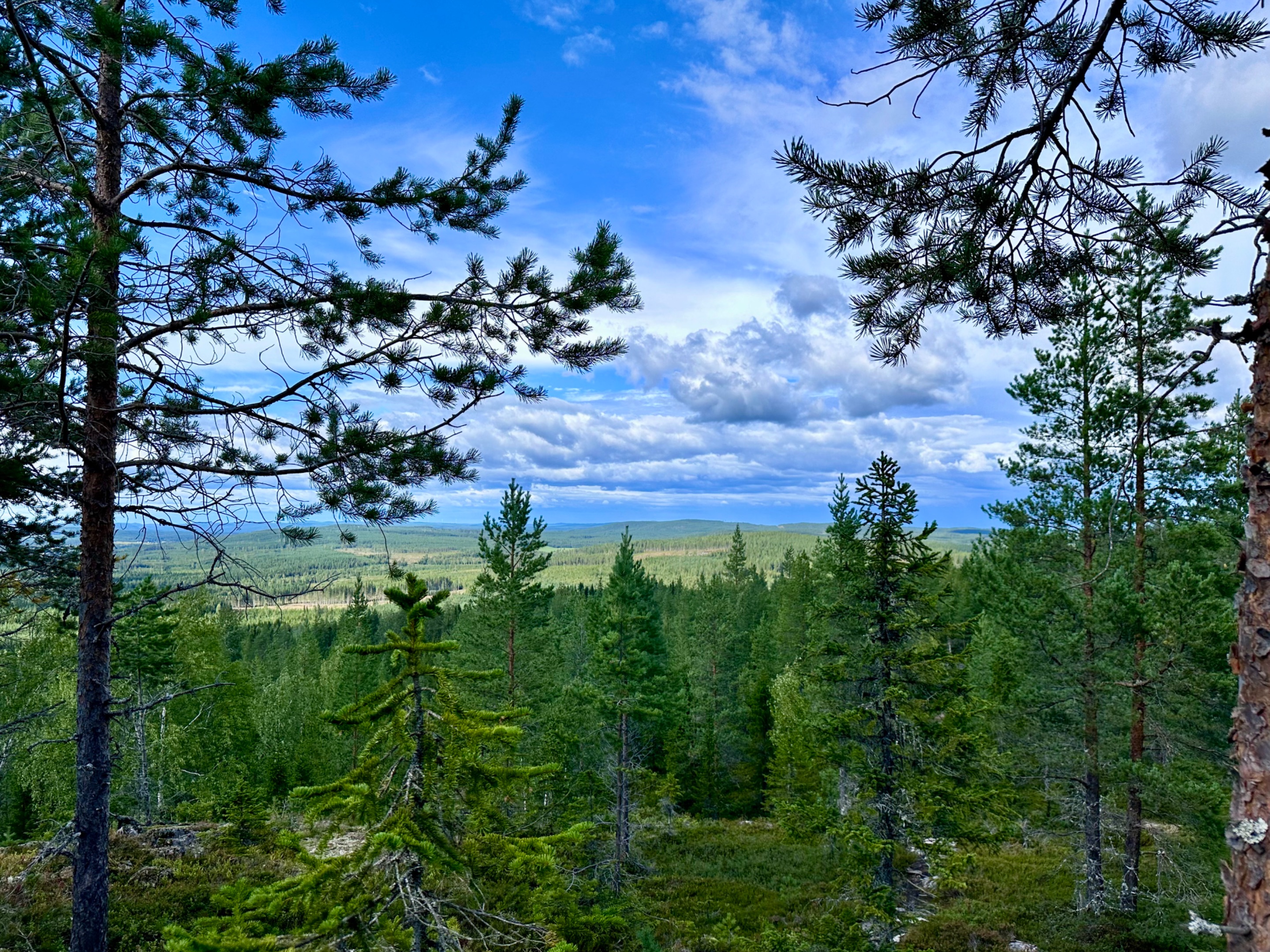
Our view out when sitting down. Stunning… we are at the highest point now.

Looking over the tree tops into the distance.

We came from the right side, up the mountain.

Our view to the left.

Side steps down off the porch.

After a coffee we check out the surroundings of these cabins, here high up the mountain. On the side even more picnic tables.

The back leads us to a bbq area.

A sign tells us distances to other areas of this hiking trail and the name of the cabin on the top.

I walk a bit further and look back at the cabin. We see a map. Shall we check it out?

Here we see the entire hiking trail. We are close to the bigger lake.

I zoom in for you. (https://images.ecency.com/DQmf2prRizEHNZMmu6Th5kr7fCcUVY55c32rmPp6h4nsC4D/img_7328.jpeg)
On the back of the larger cabin we find information that you can rent it for a night or more. (https://images.ecency.com/DQmQHy1mFuZnJBuB5Mwt2uAtvmjNb9XimbnuhPpvy7QUC4U/img_7330.jpeg)
As we walk further we see a wooden pathway is broken. This is still the same 1 year later when I visited it again. (https://images.ecency.com/DQmPU9Ut4v1CNKMj1Mirry81aT1b9MWcMghn5apJH1tnMSm/img_7331.jpeg)
In the back there are a few more cabins, an outhouse, wood shed and probably some smaller cabins to sleep in. (https://images.ecency.com/DQmPpLzSZpZxfVM6MXEqSqsmQswaU1M2udNFNCu5UyPTo3h/img_7335.jpeg)
We walk around between them. (https://images.ecency.com/DQmVmQmD2Kt3tjtQFoEZTMgtU3Tr5DyJ2ib6KAwFi1BtsrU/img_7337.jpeg)
Suddenly I see: (https://images.ecency.com/DQmVHjsWufkDs9id1zU71Q4tNf7oXZcRdK6FFJ61KXzcQz3/img_7338.jpeg)
Lots of chanterelles everywhere a bit further behind the cabins. It looks like nobody had found them yet. Nom nom… I pick the large ones and have enough to fry them up for dinner tonight. Can’t wait 😜 (https://images.ecency.com/DQmcYMyzMBzVP8A9Up7TVYvLjTjqhsFbmwFj6eiM87YdEdJ/img_7339.jpeg)
We walk further and reach this shelter with bbq area. Such a lovely spot, this mountain area. Also views over the valley and tree tops behind us. (https://images.ecency.com/DQmVuGDRTLLspj7C1YAjBTEc6PwerN7WgXiGbmQkvZURgPY/img_7340.jpeg)
Let’s walk a bit further… (https://images.ecency.com/DQmSUTQyMEycPRVYFffFS17RJxUN56Yt9sGxYun9wuwaBtL/img_7342.jpeg)
The trees are soooo tall here. (https://images.ecency.com/DQmW73QcVN63dpaMy4M2b7rAqufvebpVA9woAEAfJ4eWXSn/img_7343.jpeg)
More mushrooms, on and around this tree. I capture them. No, not more chanterelles. (https://images.ecency.com/DQmV5g5o2N8nMEUe6zHPDn3ytTetxmJ3oAVXPL5Ch5LVL5F/img_7344.jpeg)
We get onto more boards and walk over them further. (https://images.ecency.com/DQmSRVaFnV5d2pMRQiKjmexLnG5G7ZVX29R42K7dKvGPKyK/img_7349.jpeg)
Into the deeper forest. (https://images.ecency.com/DQmfCVkwFCP7J72avzh9rMhHPbXMopBTDC7yHQACfAhq82e/img_7351.jpeg)
After a while we decide we turn back and head towards the cabins again as it is getting late. 16:33h at the moment and we need to get down again. (https://images.ecency.com/DQmPFBGBrjkhUjwPuuP2mMh6uAXNbQFk7QqiQXtQqkpXWNn/img_7352.jpeg)
Around us we see the start of autumn. A few yellow leaves around us. (This was last year, this year autumn came much earlier) (https://images.ecency.com/DQmb68ZmrmPK6fArDr5pwpMeVcktoC6mdhphc9Uf8hjpEny/img_7353.jpeg)
Our view down as we slowly retrace our steps. (https://images.ecency.com/DQmNxrJyRxGPoBkaBZN8KzePRyzbs5uTUmuKPJ49gmcXTGe/img_7354.jpeg)
Too bad we didn’t really find blueberries as all bushes were empty. (https://images.ecency.com/DQmeTVRwxPJz8NJWAY6XFALBZADZ7uhFtKmnC79MAN8vRRM/img_7356.jpeg)
Going further down we reach lower grounds again. (https://images.ecency.com/DQmNkKybuFNxiNcrHgUmj8ghHKETSV5MBjP4x2Pe86SnWNW/img_7357.jpeg)
I see a large tree that fell over. Its roots in the air.. (https://images.ecency.com/DQmYJauAopoG8WYv6MGeb7mPhGJjyRxWDSrYh27Uj3mpV4Z/img_7358.jpeg)
Seen from the other side. (https://images.ecency.com/DQmfXtekUL1fT1sboBpr1XizZSi5W3eXPcT5rhvXMVbHZeJ/img_7359.jpeg)
Not much longer now and we are back at the car. Yes, I know… we need to get through the bushes also again. We did have a good time, so let’s go… we get through it again. (https://images.ecency.com/DQmTkChAp9KuLm9HY62ZYRCtZ7ozfk88iNP5XtZKksiW1pp/img_7360.jpeg)
Little health update: I haven’t been well lately and had to go to the doctor last week urgently. I am on a heavy course of antibiotics now as my weakened (almost none existent) immune system was attacking me too much and my body couldn’t cope anymore and I got an additional bacterial infection on my leg from an insect bite. So please bear with me… I’m still here, but have to rest a lot right now. I will continue to support you, as always.
…and here I say that’s all for today’s post my friends. Join me next time for more updates, adventures, #stories and photographs. Even my own artworks, once in a while, will come by. Thank you so much for looking, and reading.
(https://images.ecency.com/DQmRDGsb928pwLVATGtRv1ubiw8z7rMXtja8SQS4zDFxFHu/ecency_spring_divider_2025.png)
Ecency art by @irisworld
Any questions or comments, let me know. Always happy to help.
Have a great day all! Grtz Jackie

Unless stated otherwise: All art and photos used in my posts are taken, created and owned by me. If you wish to use any of my photographs, please contact me first. As I have used some commercially myself. We don’t want that you or somebody else gets into trouble ;) So please don’t use them without my consent.
🖼 My PRINTSHOP: for the purchase of all kind of PRINTS in many sizes from my Artworks 🎨 (PAINTINGS and DRAWINGS) and Photography 📸 Have a look in My Prints Shop here!

If you want to see where I traveled to and what I already shared in @worldmappin formerly known as @pinmapple , have a look at my personal map here: “LITTLEBEE4’s personal map on WORLDMAPPIN”
(https://images.ecency.com/DQmPdKPjQCL2rayUQfVgN8pwor22H8X4RSQ1HZynXn7mnTf/ecency_spring_banner2025_2.gif)
!worldmappin 64.01222 lat 19.96302 long 🌳 THE FAR NORTH ~ Let’s hike the Tavelsjöleden ~ in Tavelsjö Västerbotten county SWEDEN 🇸🇪 d3scr