-----
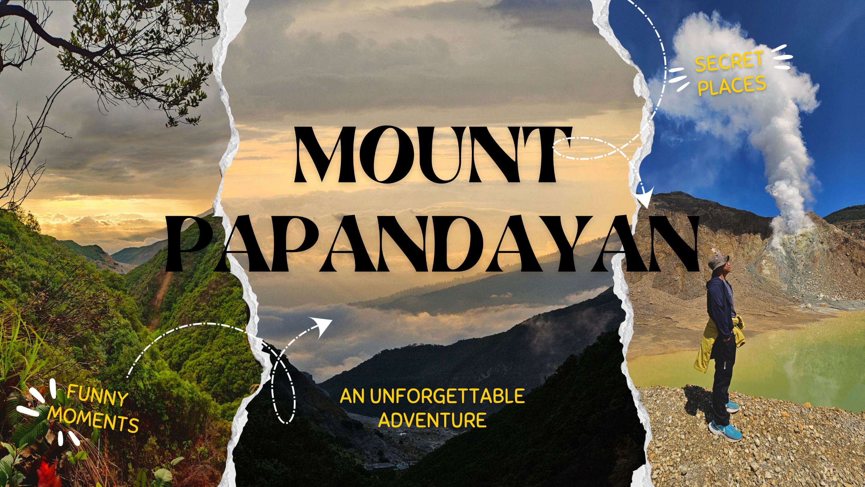
Mount Papandayan
An Unforgettable Adventure
-----
Hi travellers, welcome to my blog again.
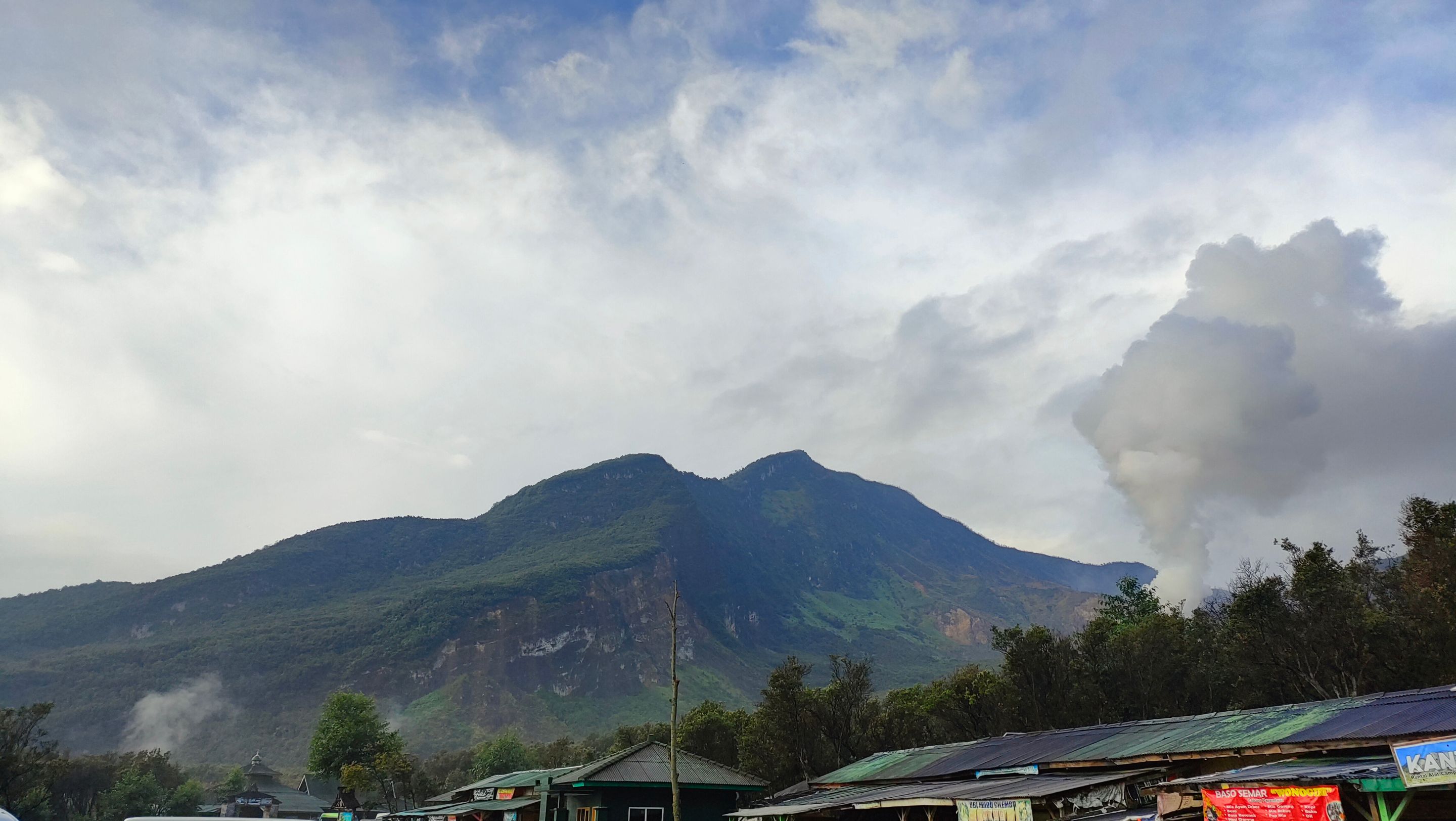
This time, I want to share my experience hiking Mount Papandayan. Mount Papandayan is located in West Java, at an altitude of 2.665 mdpl... It's not too high and not too low. This mountain is known as one of the friendliest for beginner climbers. It's not the only mountain in West Java, but its relatively easy terrain makes it a favorite choice for many...
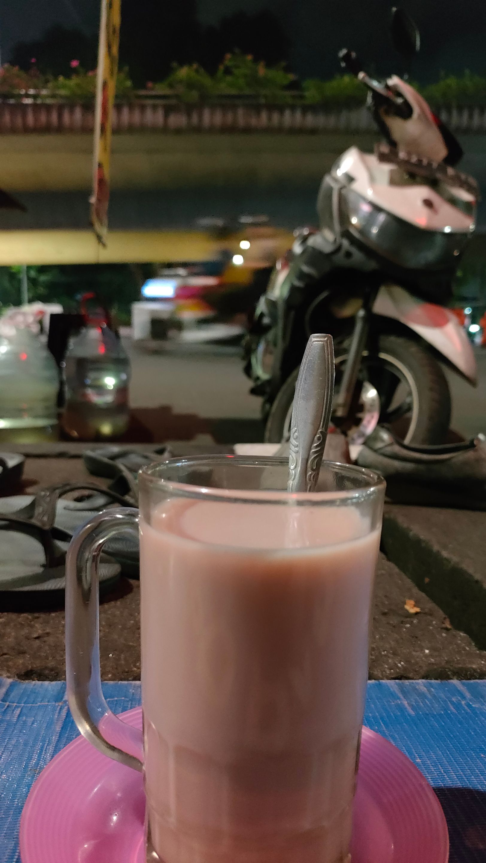
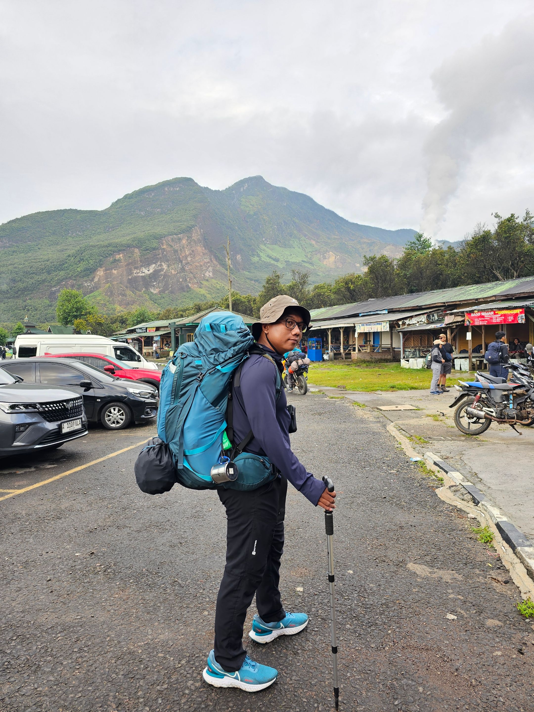
I started this hike with the "Teman Jalan" community, and this is my first experience joining a tour with them. We departed from Jakarta on Friday night, with a bus carrying about 20 people. Honestly, I only knew two people among them. But I was sure I would soon get to know the others during the trip. I managed to put my bag on the bus and drank ginger milk to warm myself while waiting for the other participants. Exactly at 11 PM, our bus departed for Garut...
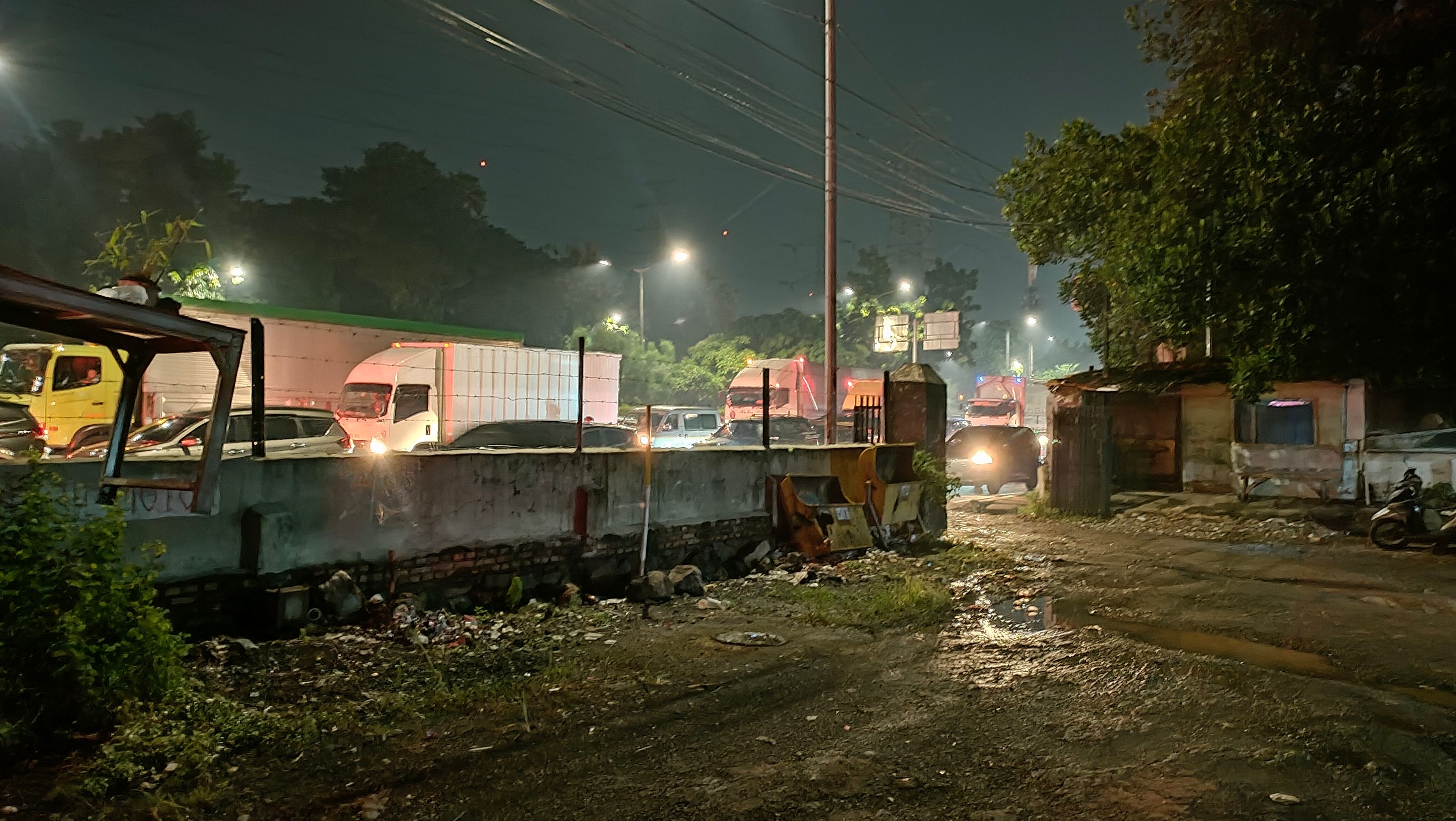
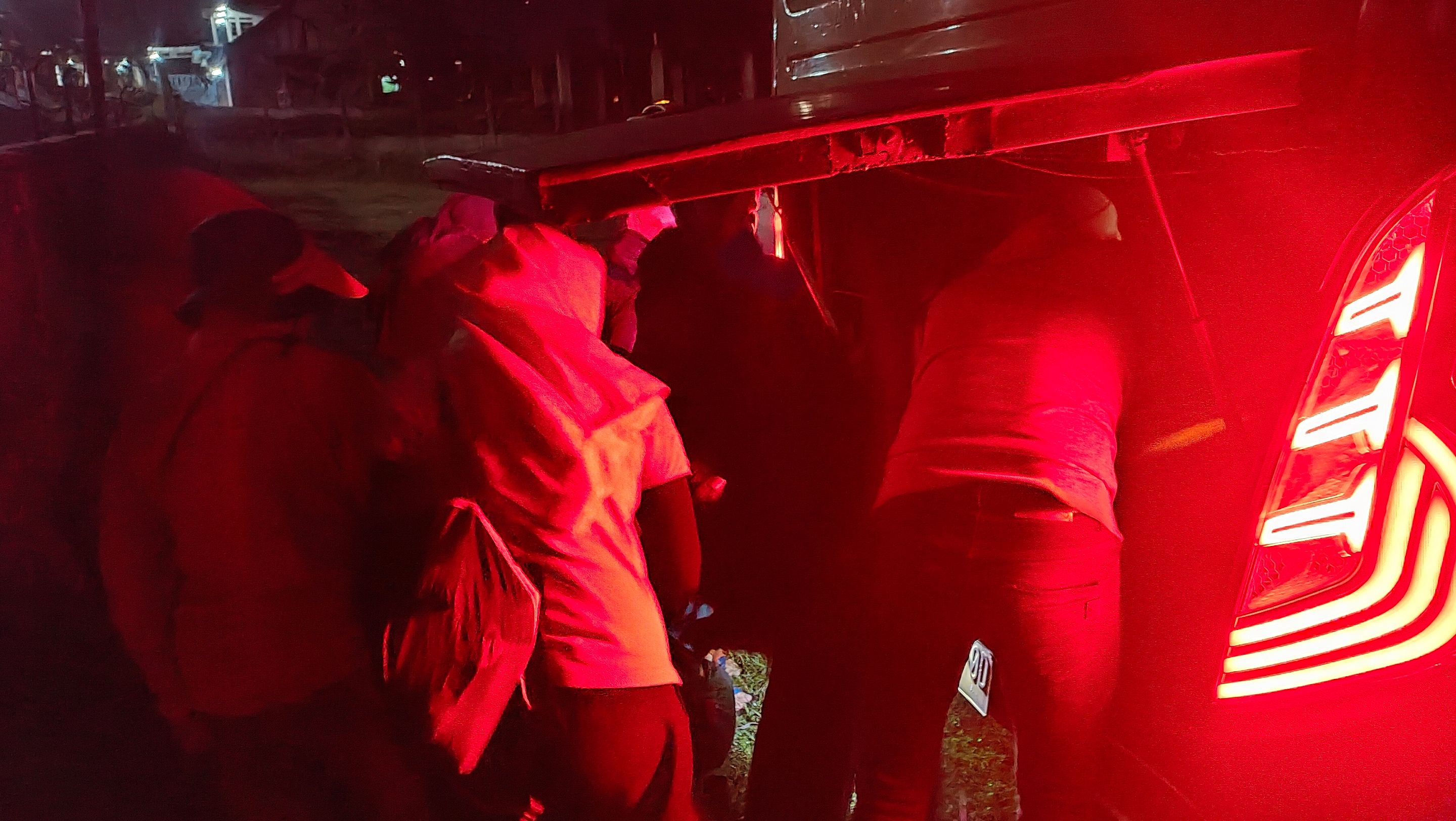
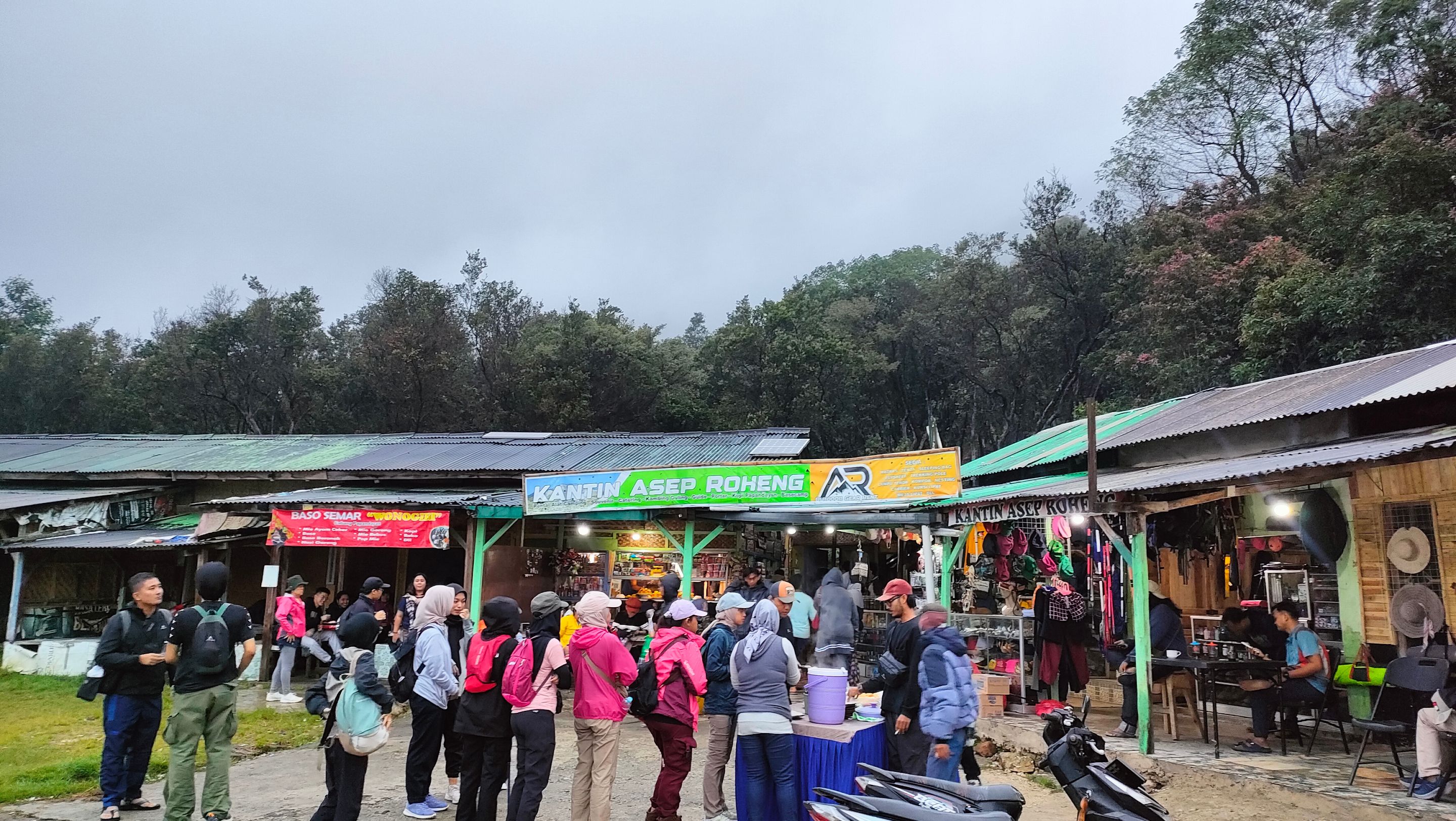
We arrived in Garut around 6 AM. It turned out that the area was already very crowded with climbers preparing to start their hikes. It was only natural, as we came on the weekend and Papandayan is indeed a favorite destination.
The weather was very clear, but shortly after the hike began, rain fell, although not very heavily. We immediately put on our raincoats, but fortunately the hiking route was still in the form of stairs, so it wasn't too slippery and remained safe...
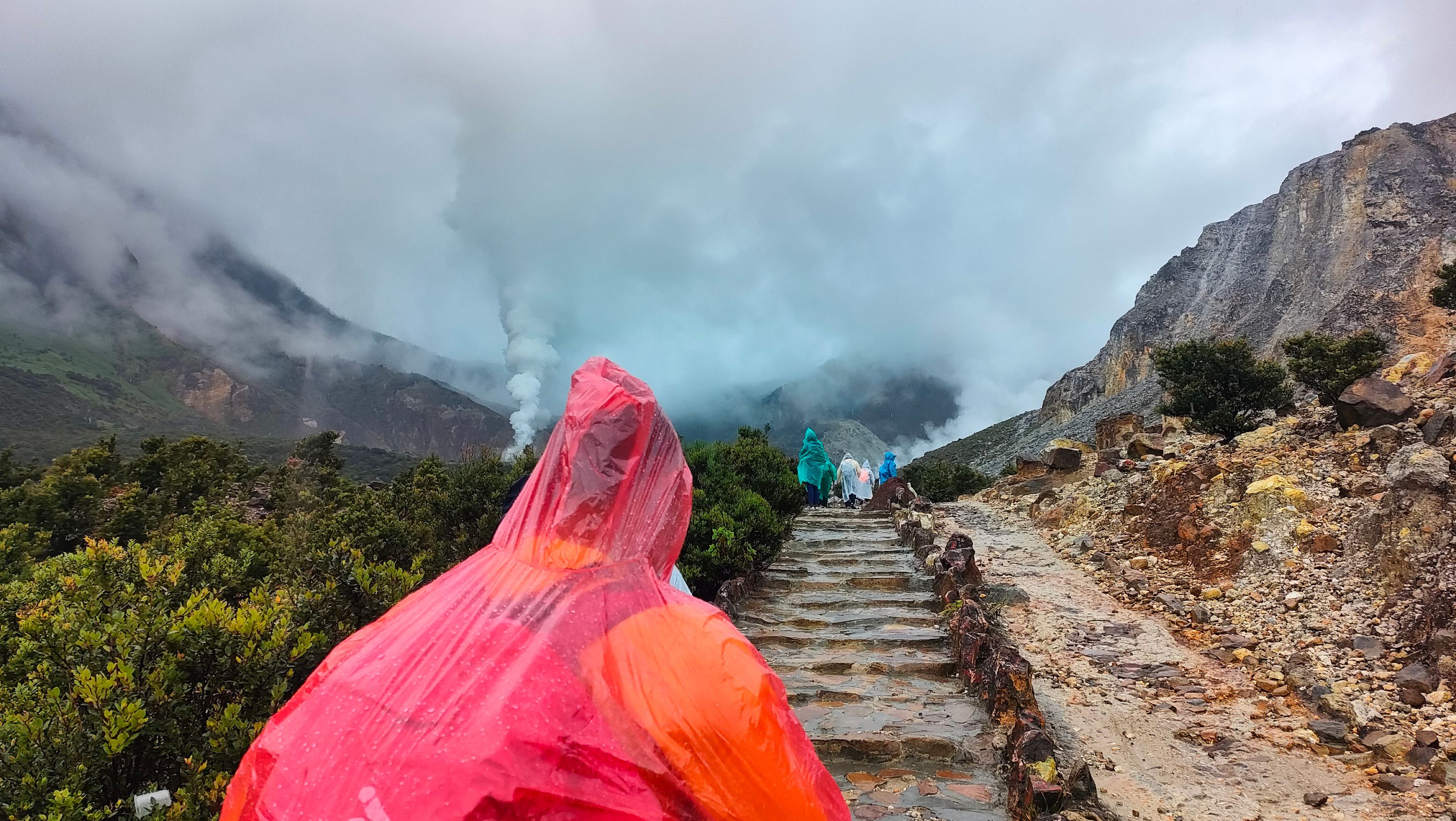
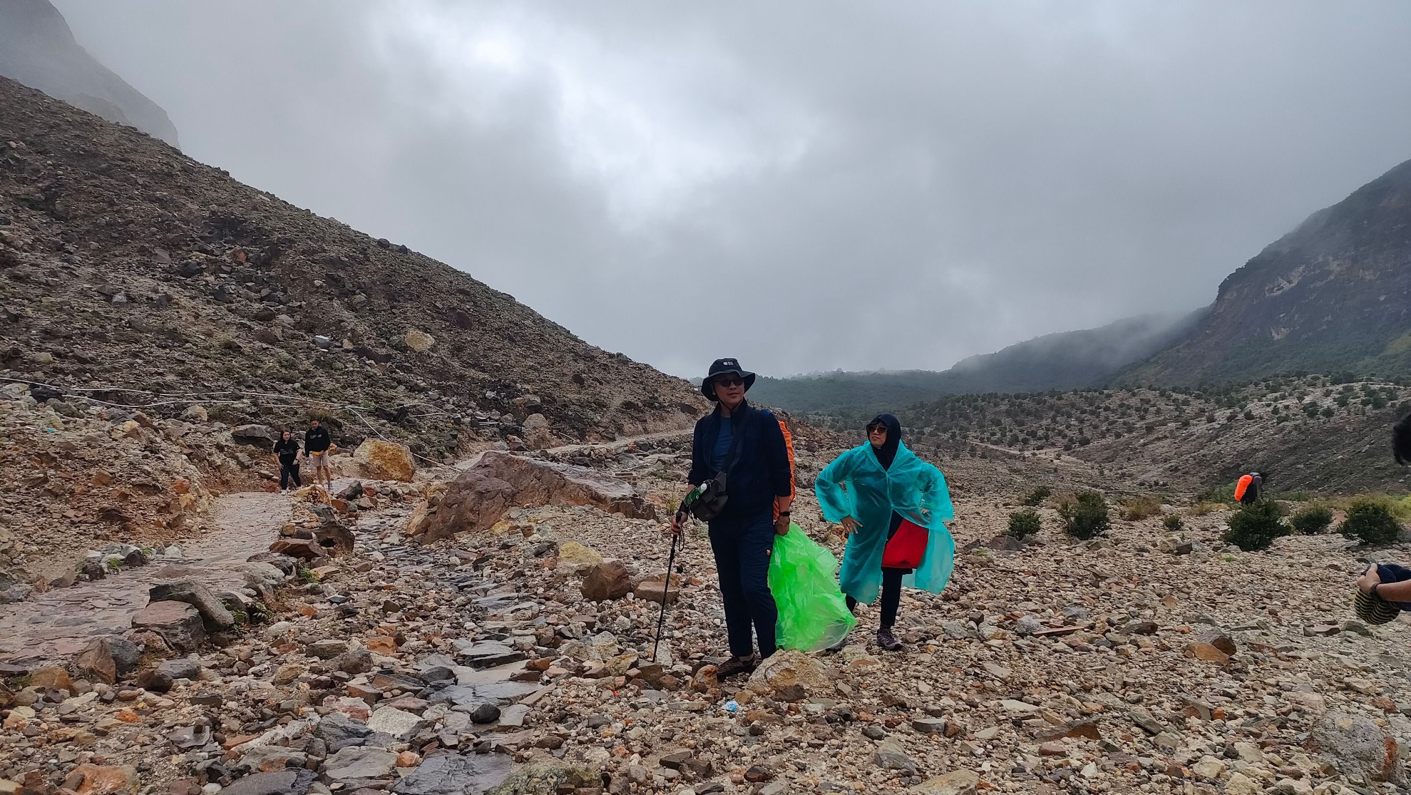
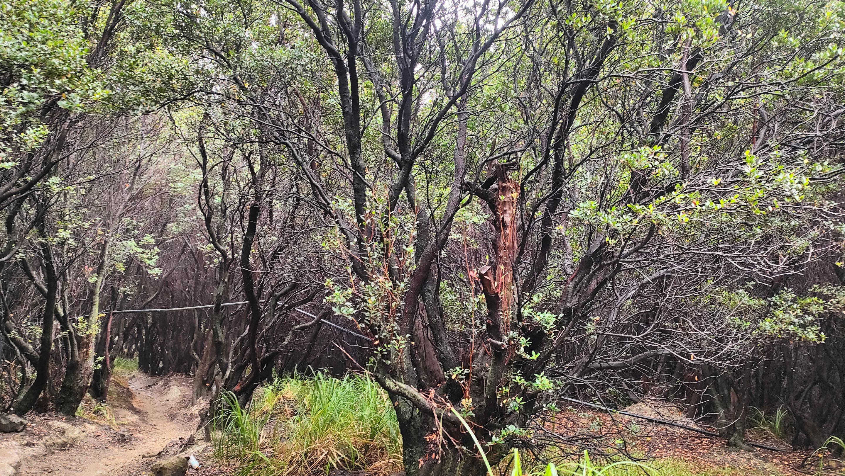
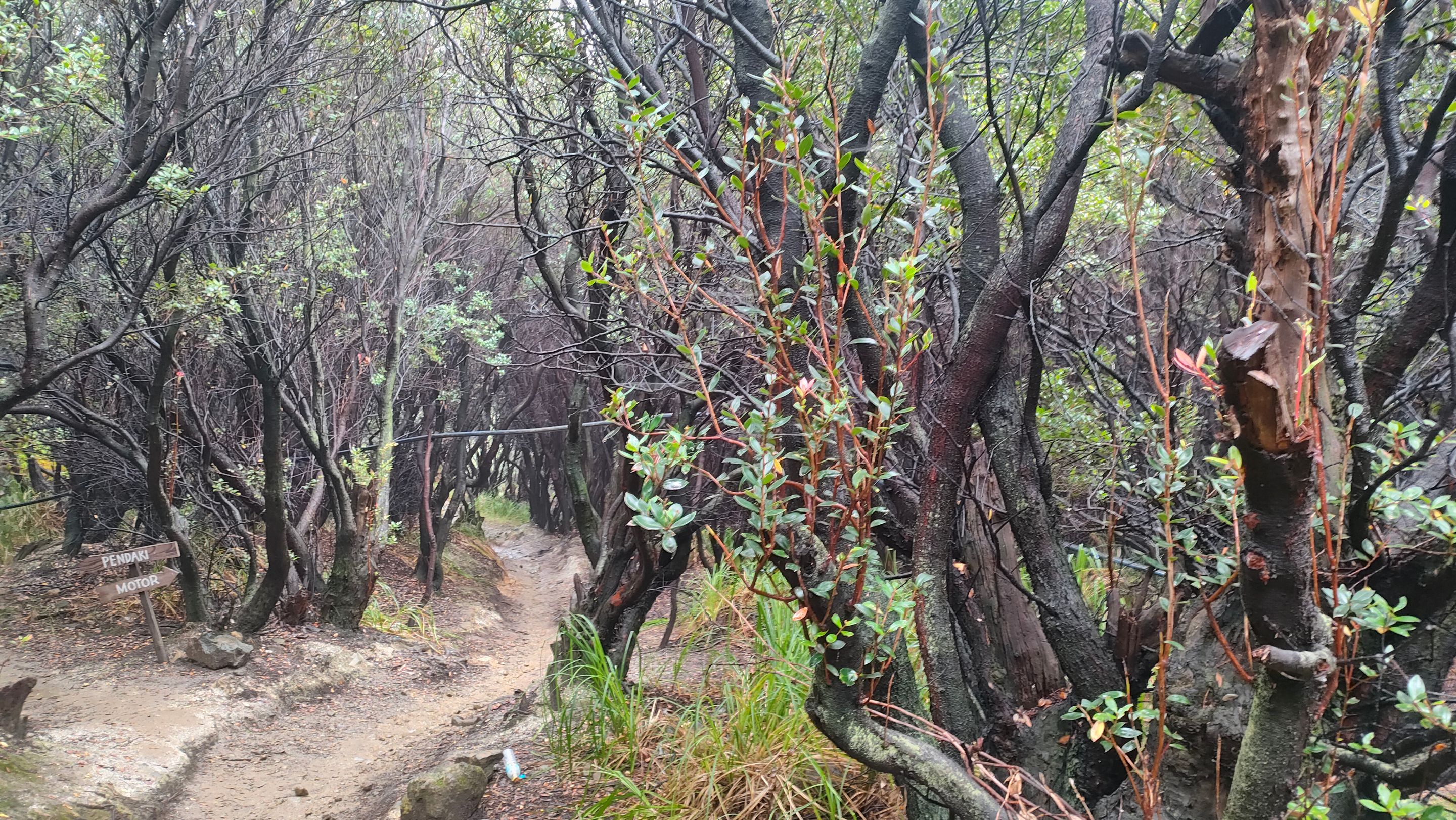
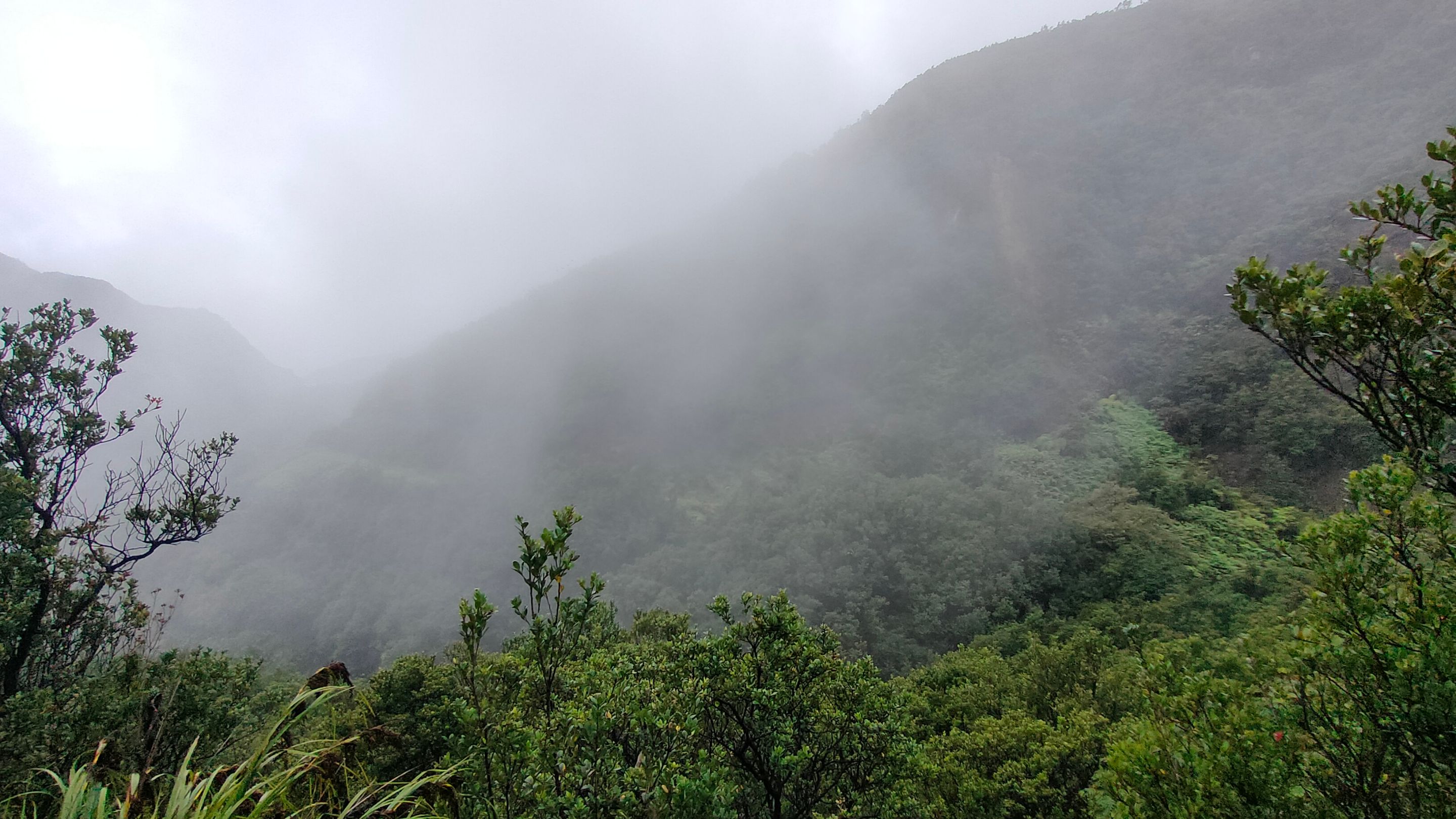
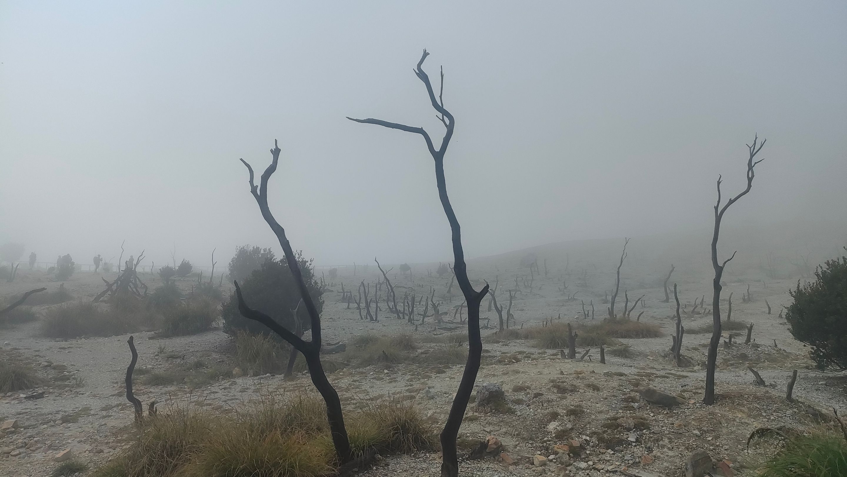
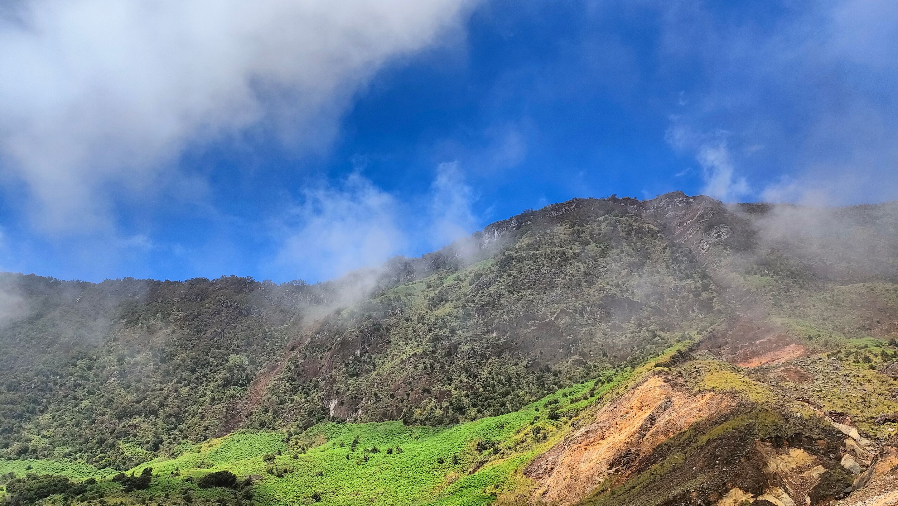
During the hike, I enjoyed the natural beauty around me... The Mount Papandayan hiking trail is truly unique. Even though the scenery was shrouded in mist, its natural uniqueness was still felt...
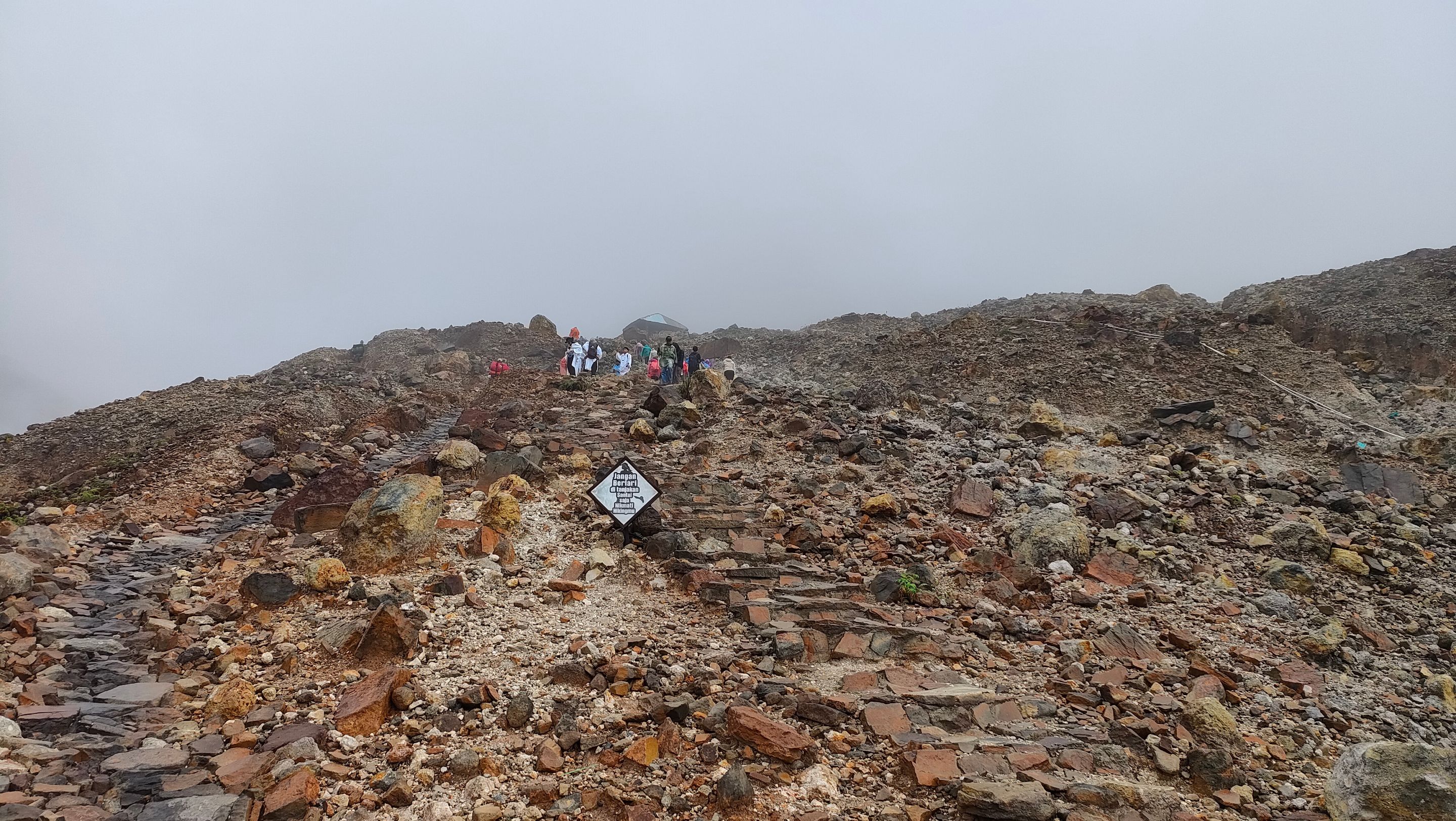
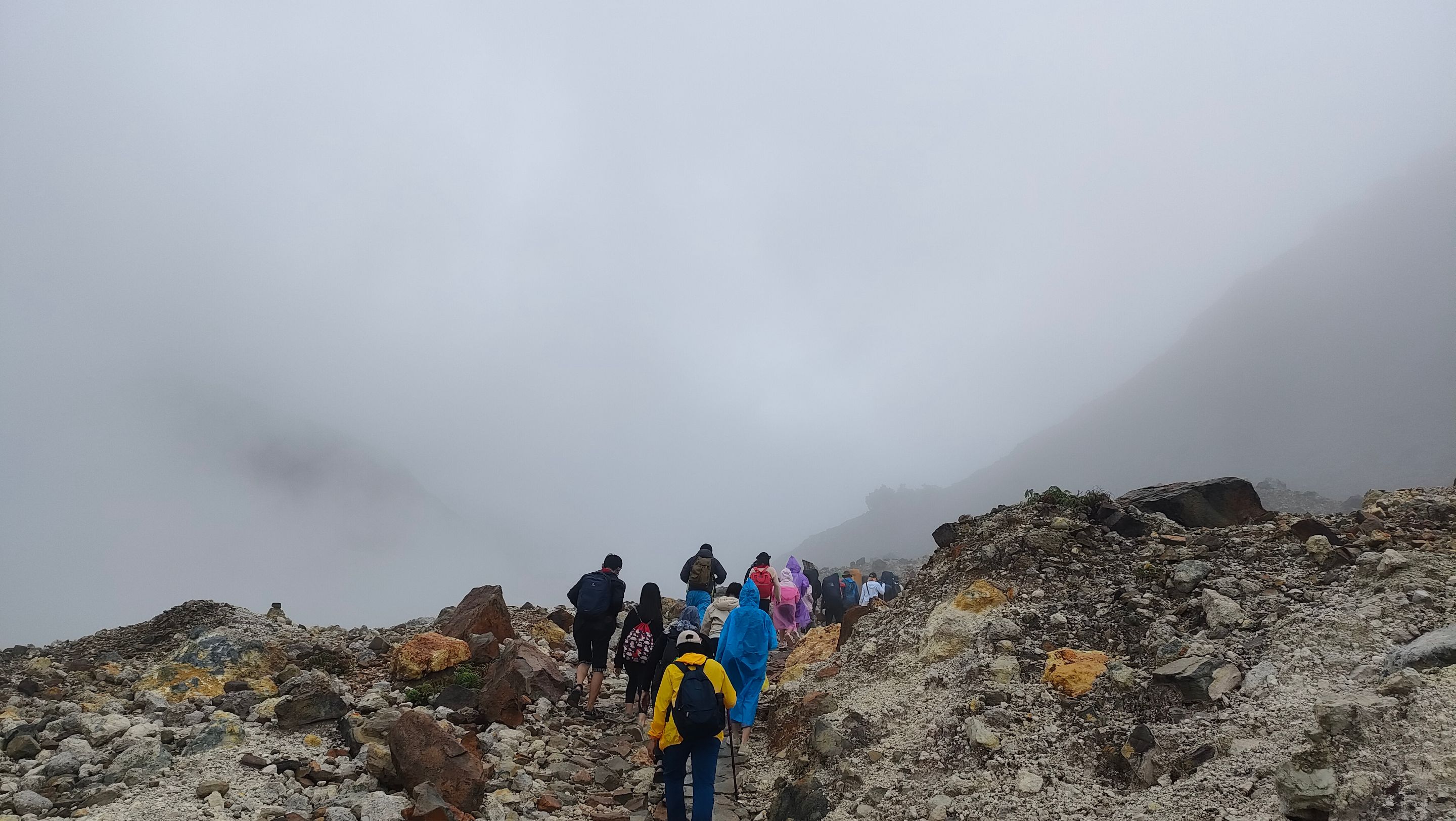
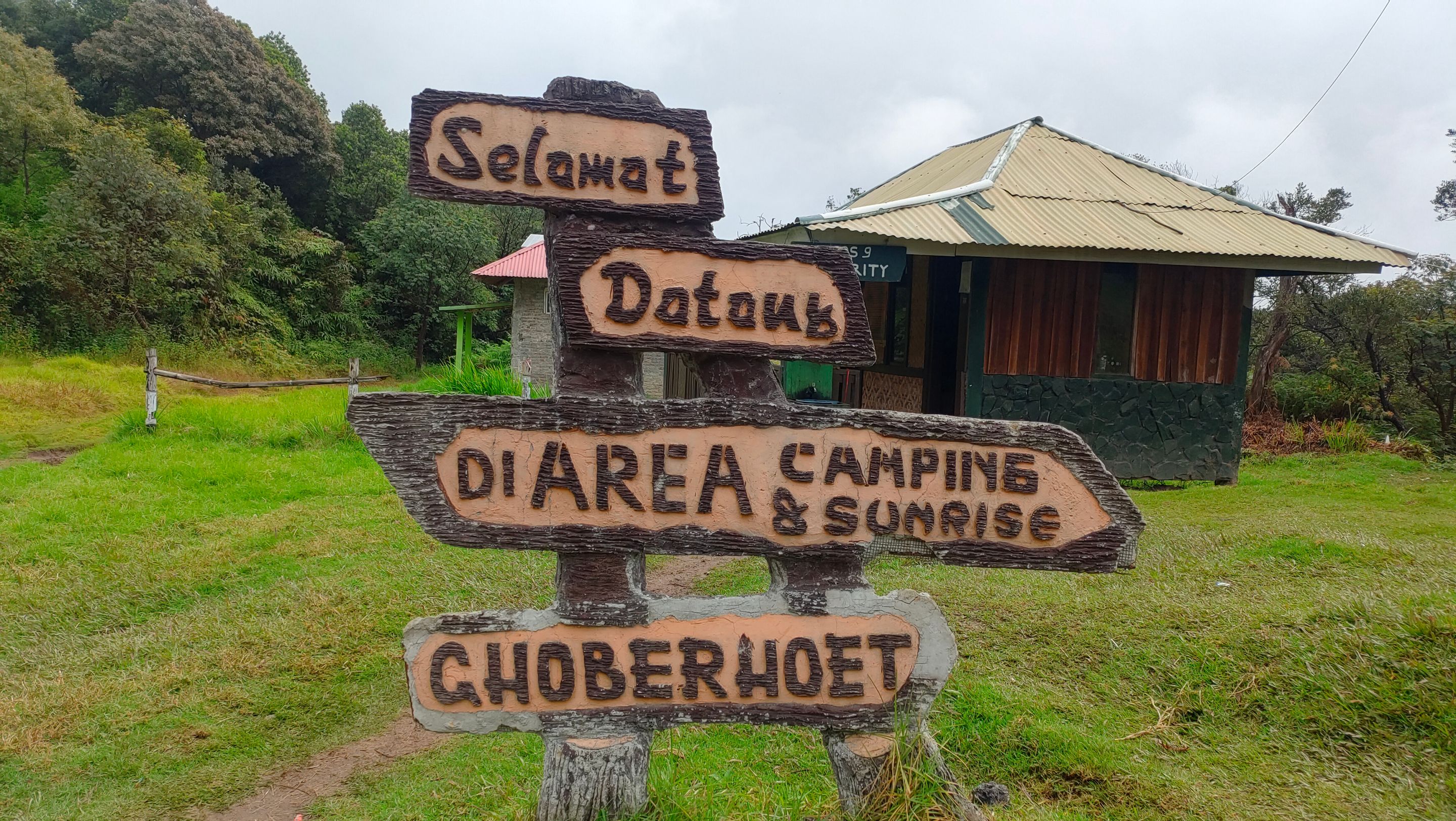
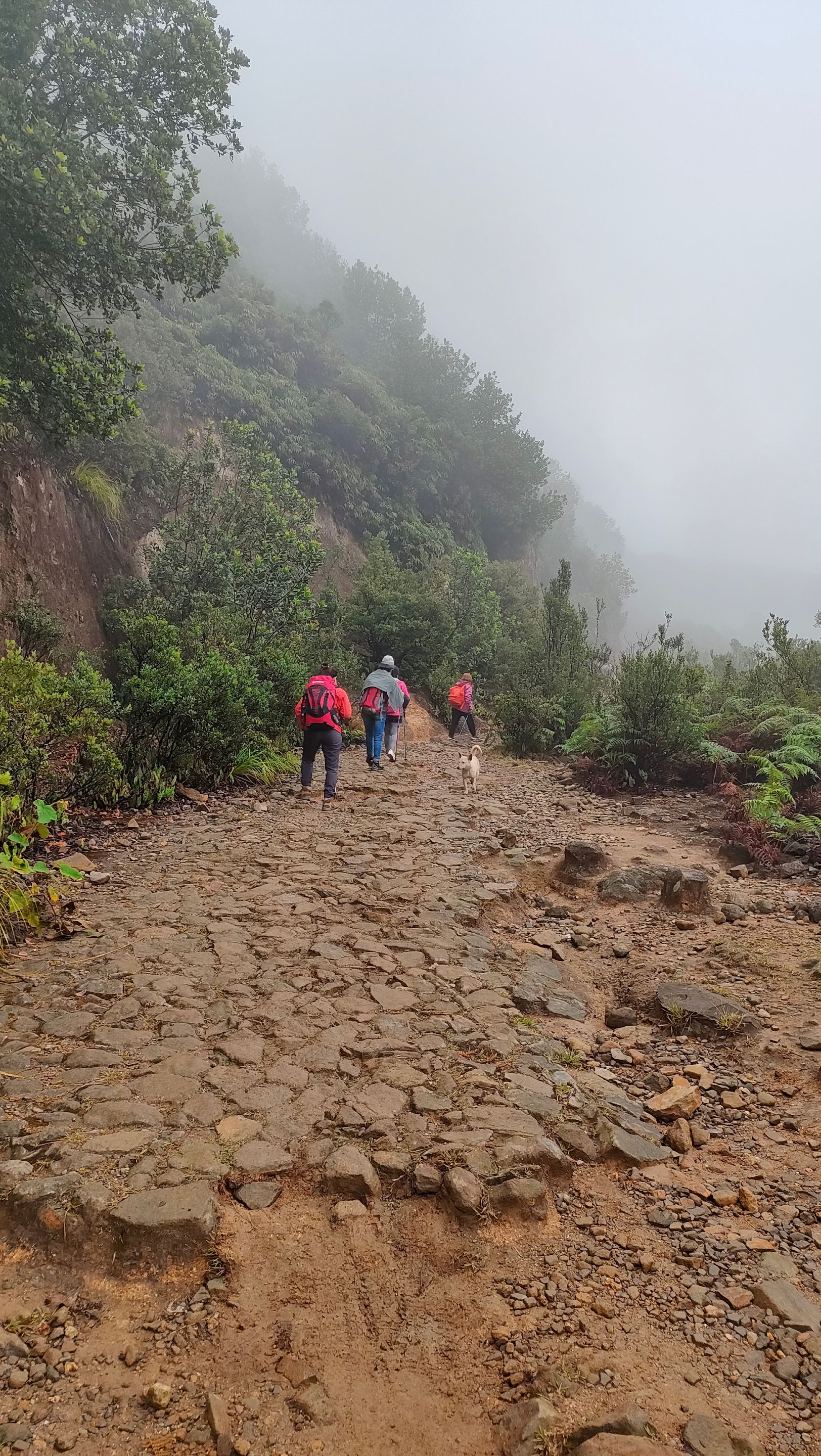
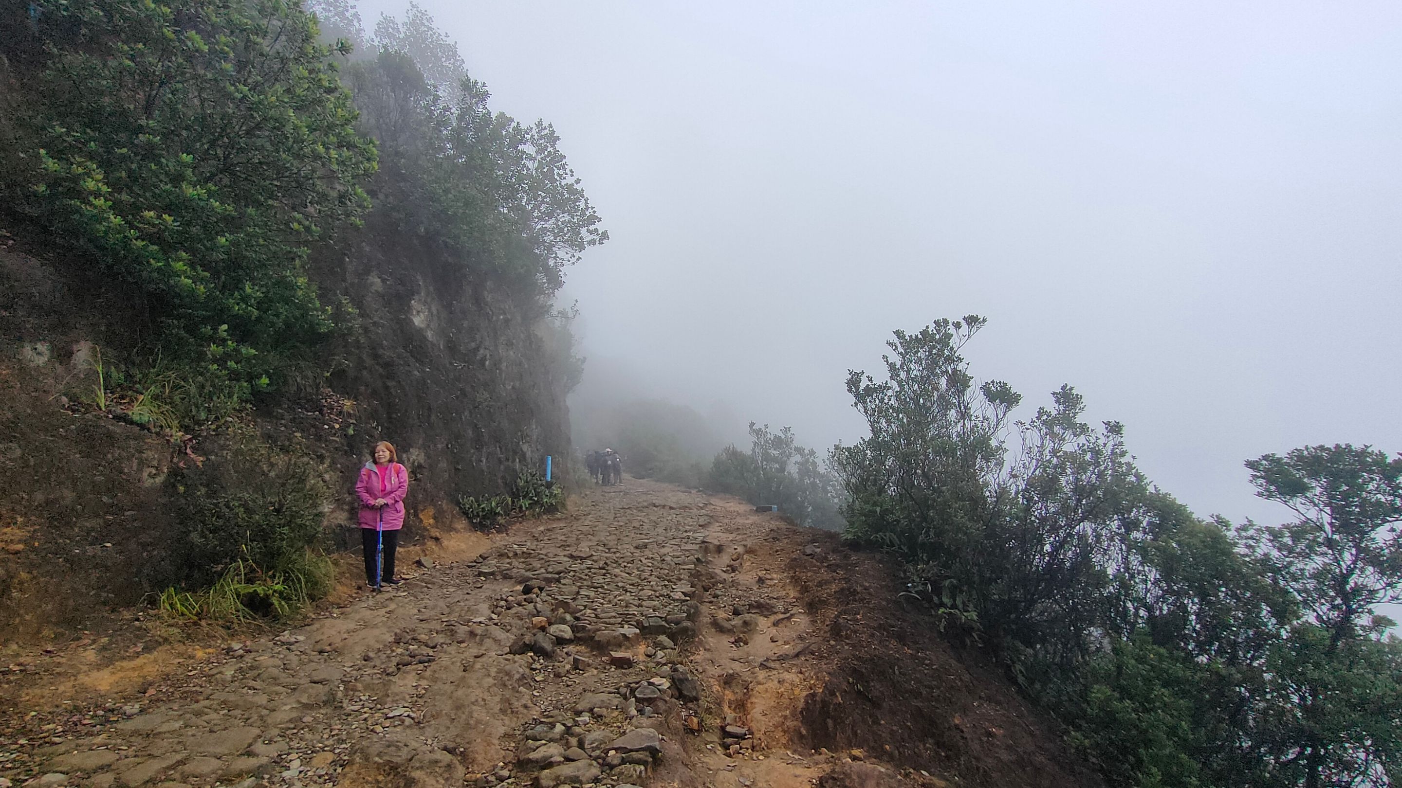
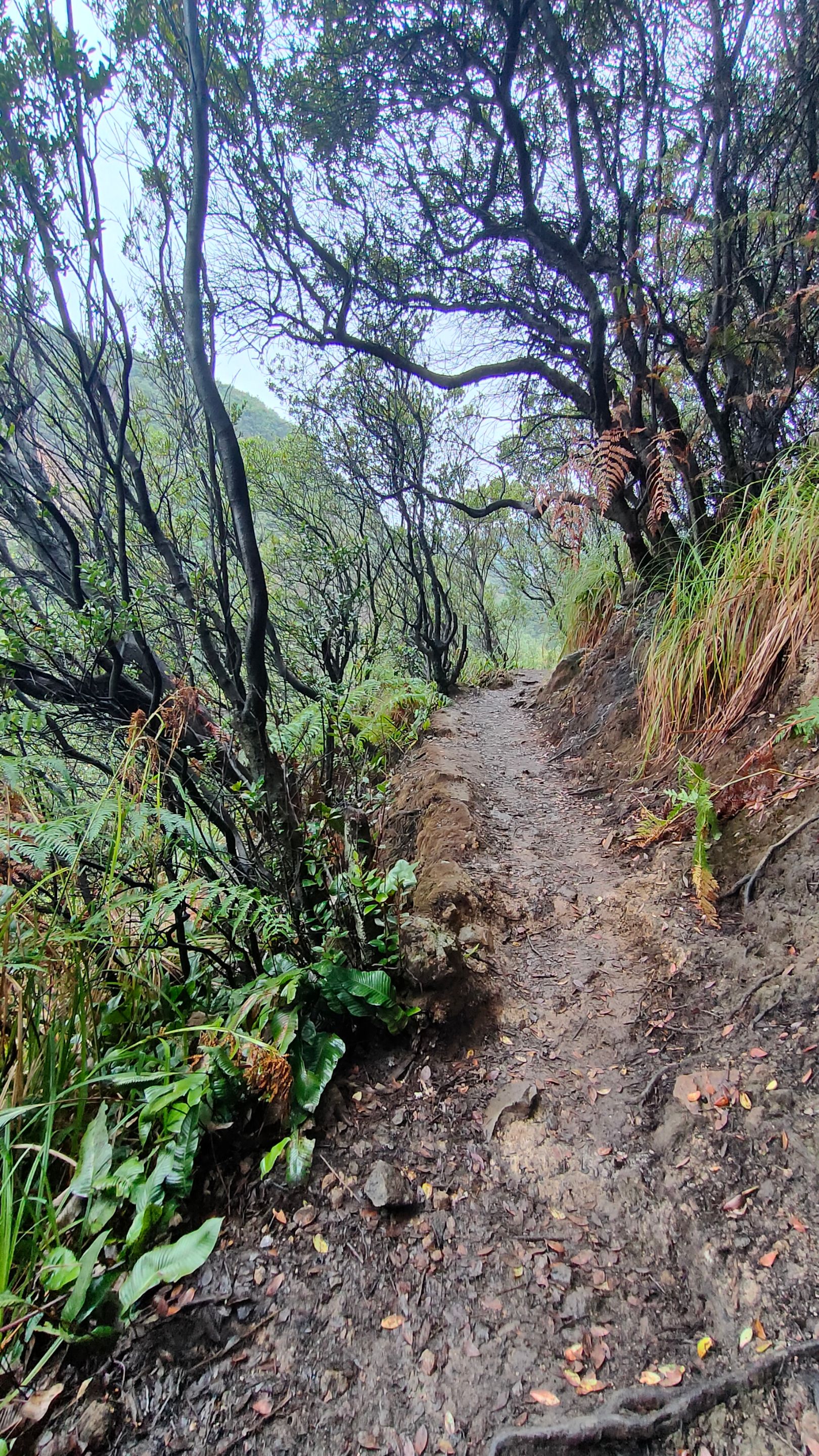
After about an hour of hiking, we arrived at the fork in the trail. The left path led to the Papandayan icon, the Dead Forest. Since we planned to camp, we took the right path towards Pondok Saladah. From here, the scenery began to change. We entered a forest area with a trail that started to incline, steep, and slippery, very different from the previous stair route...
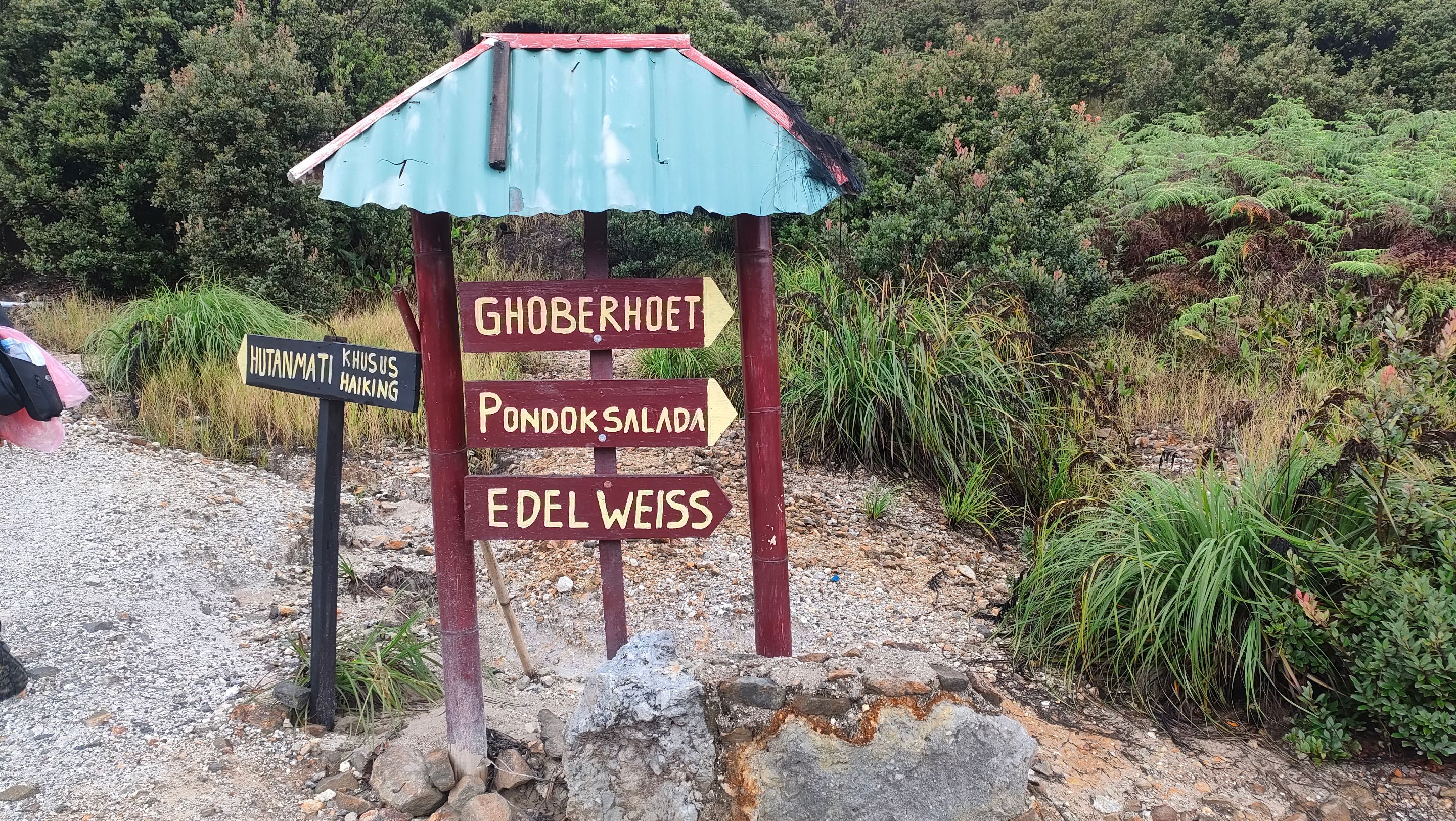
After 2.5 hours of hiking, we arrived at the Ghoberhoet campsite. This area is very suitable for those who want to see the sunrise because of its not too high location. However, our campsite location was still further up, so we continued our journey to Pondok Saladah...
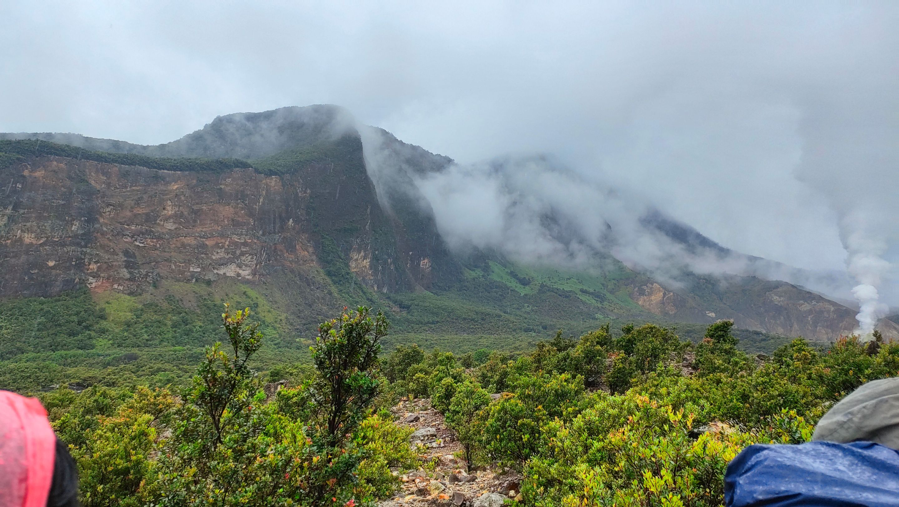
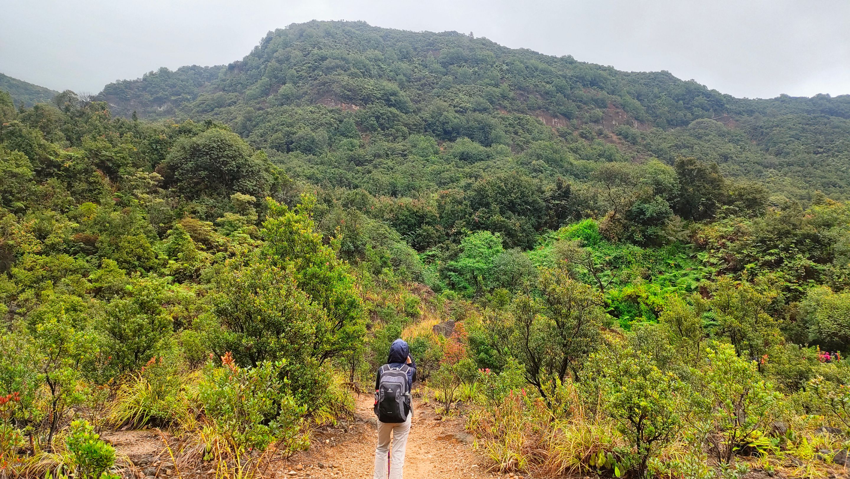
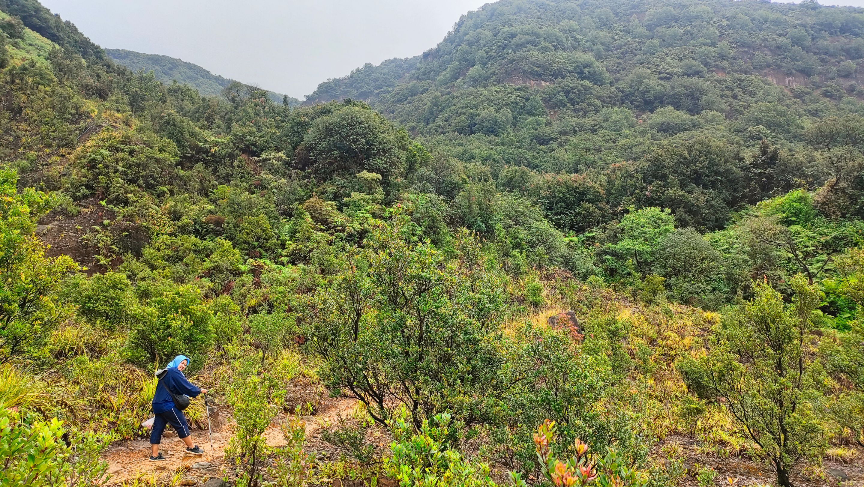
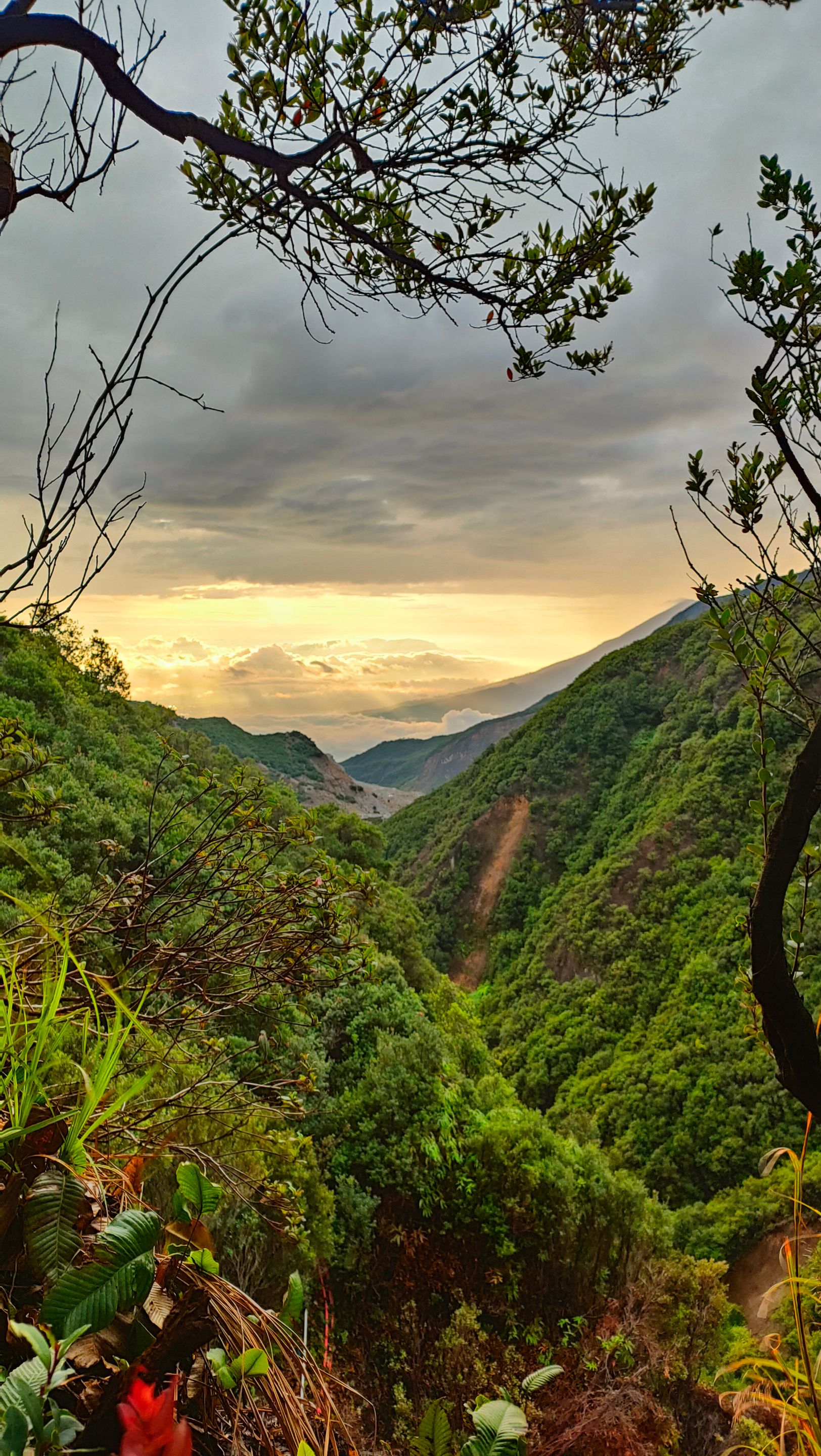
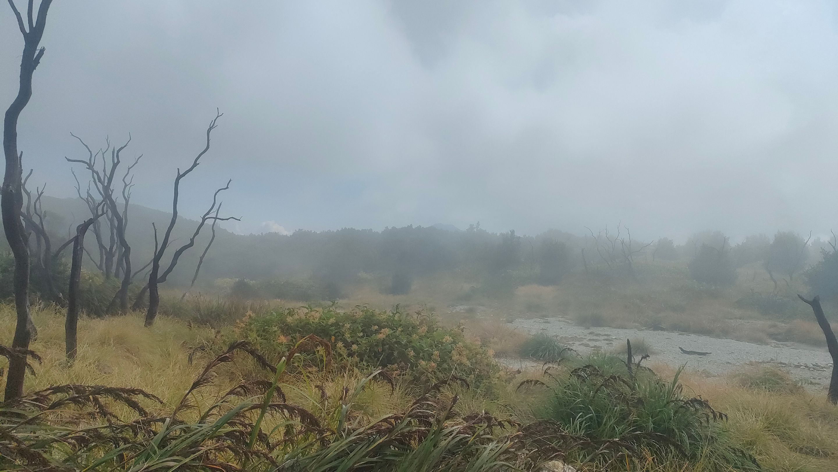
The view towards Pondok Saladah became increasingly beautiful. From the top, I could see dense forest and a vast green valley, though much of it was shrouded in mist... The path we passed was increasingly uphill, testing our physical and mental strength...
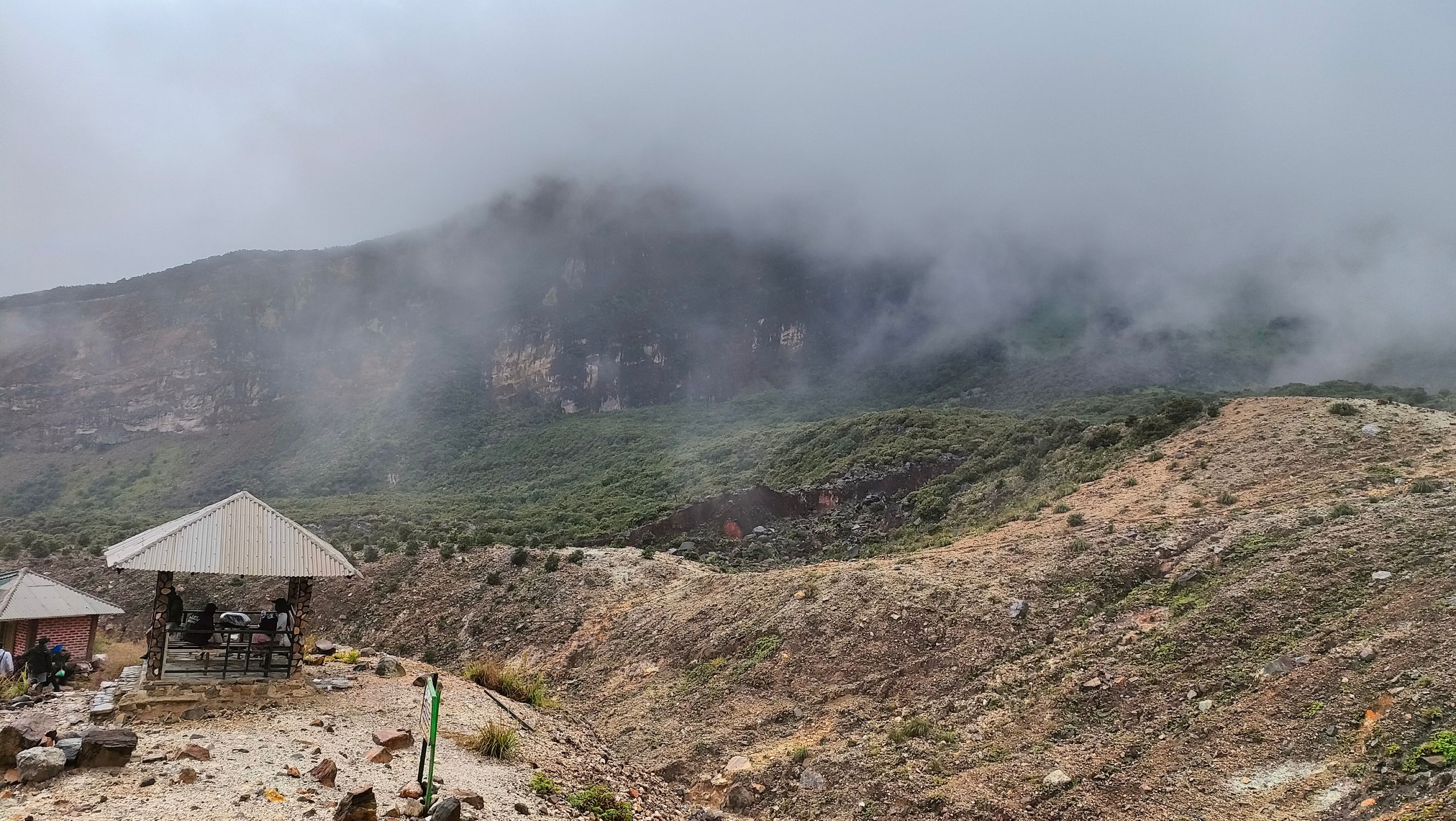
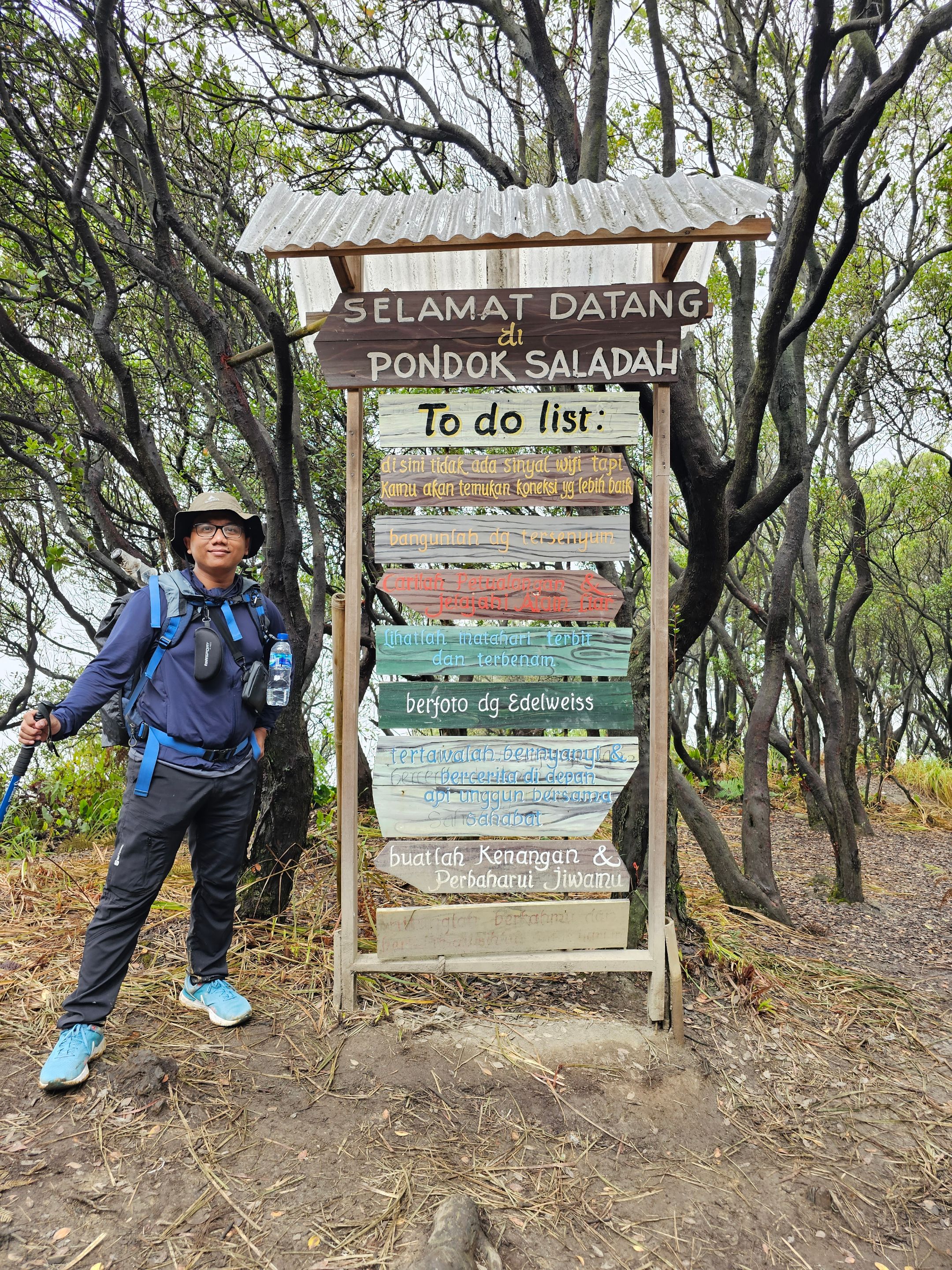
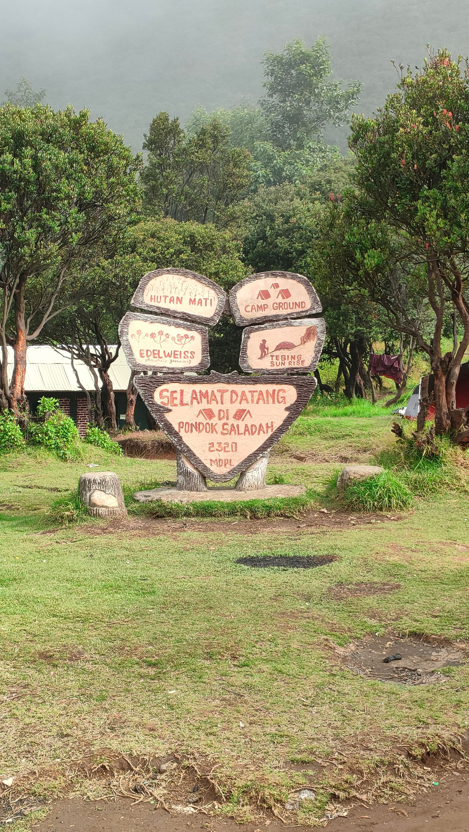
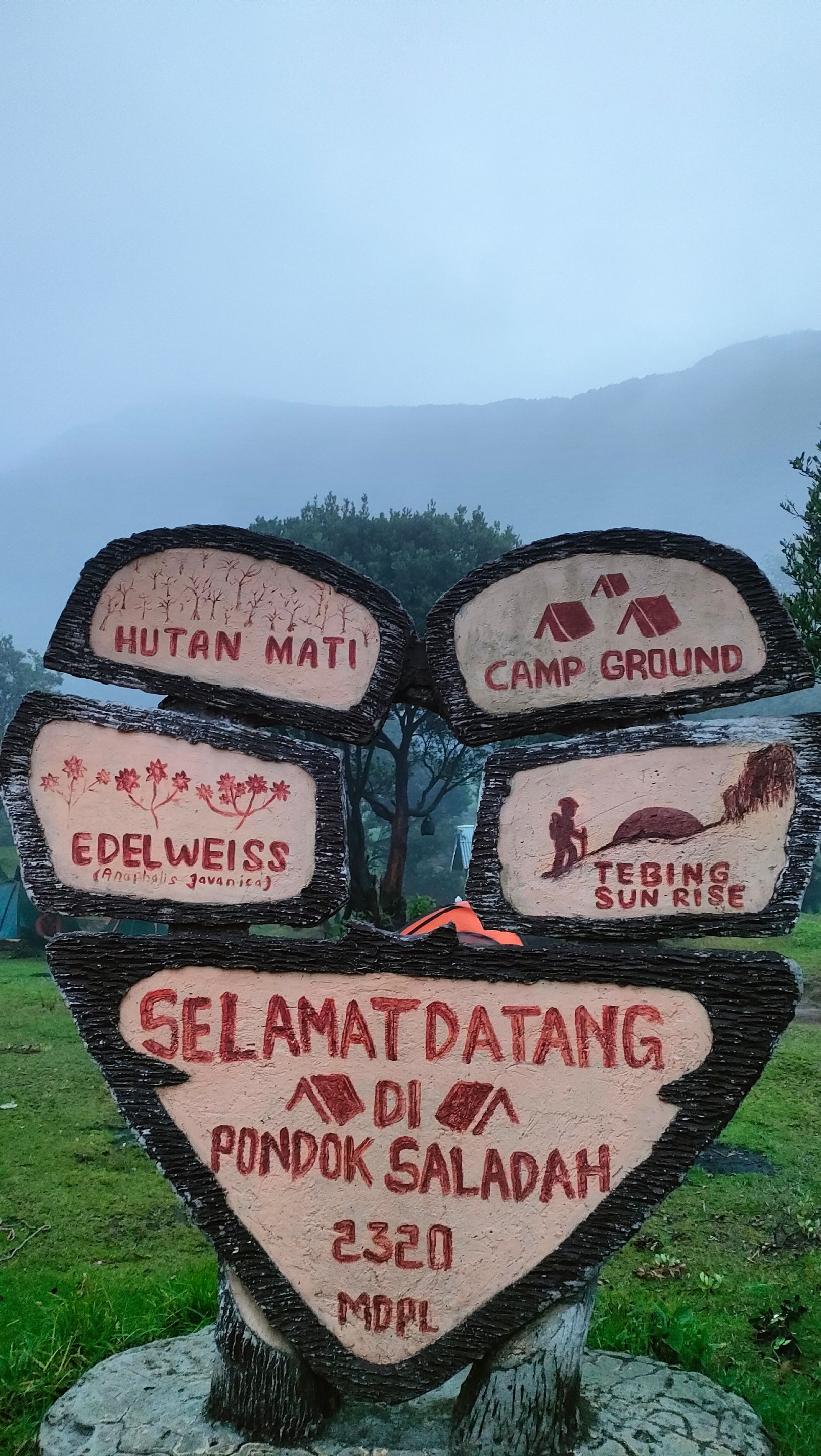
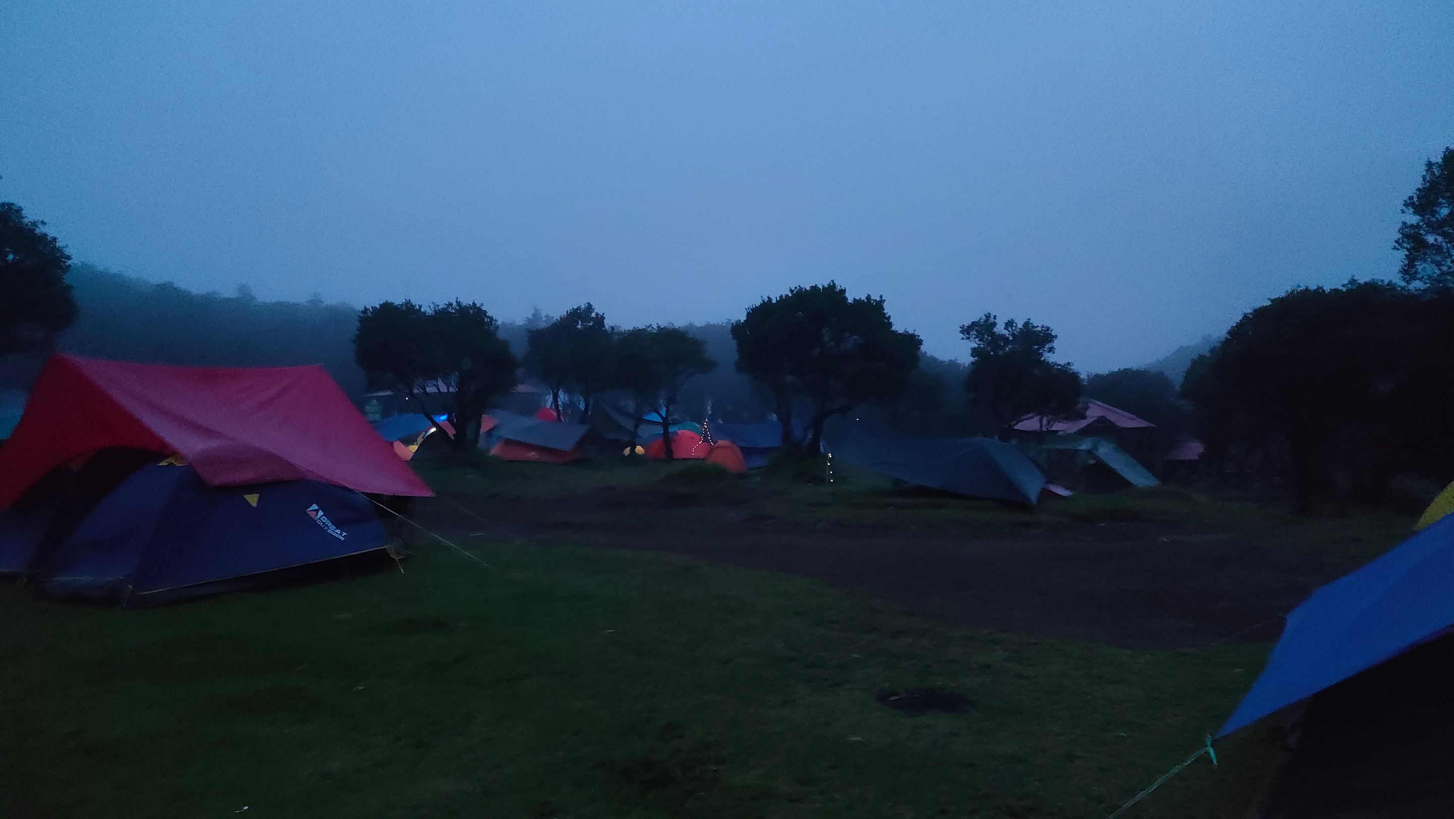
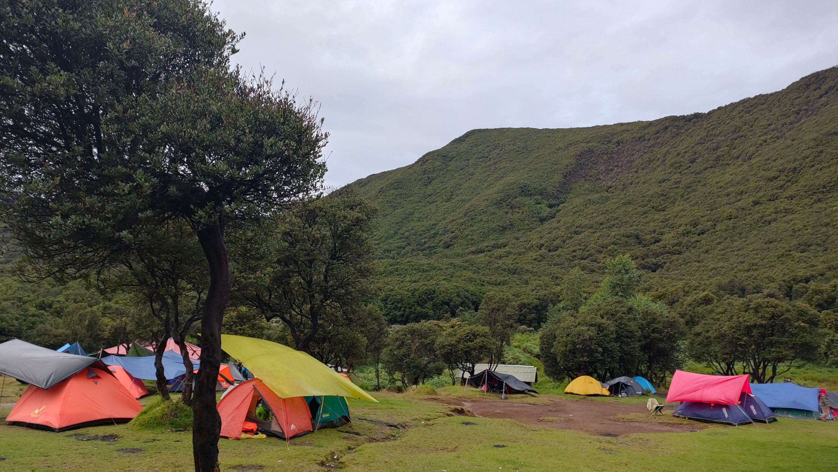
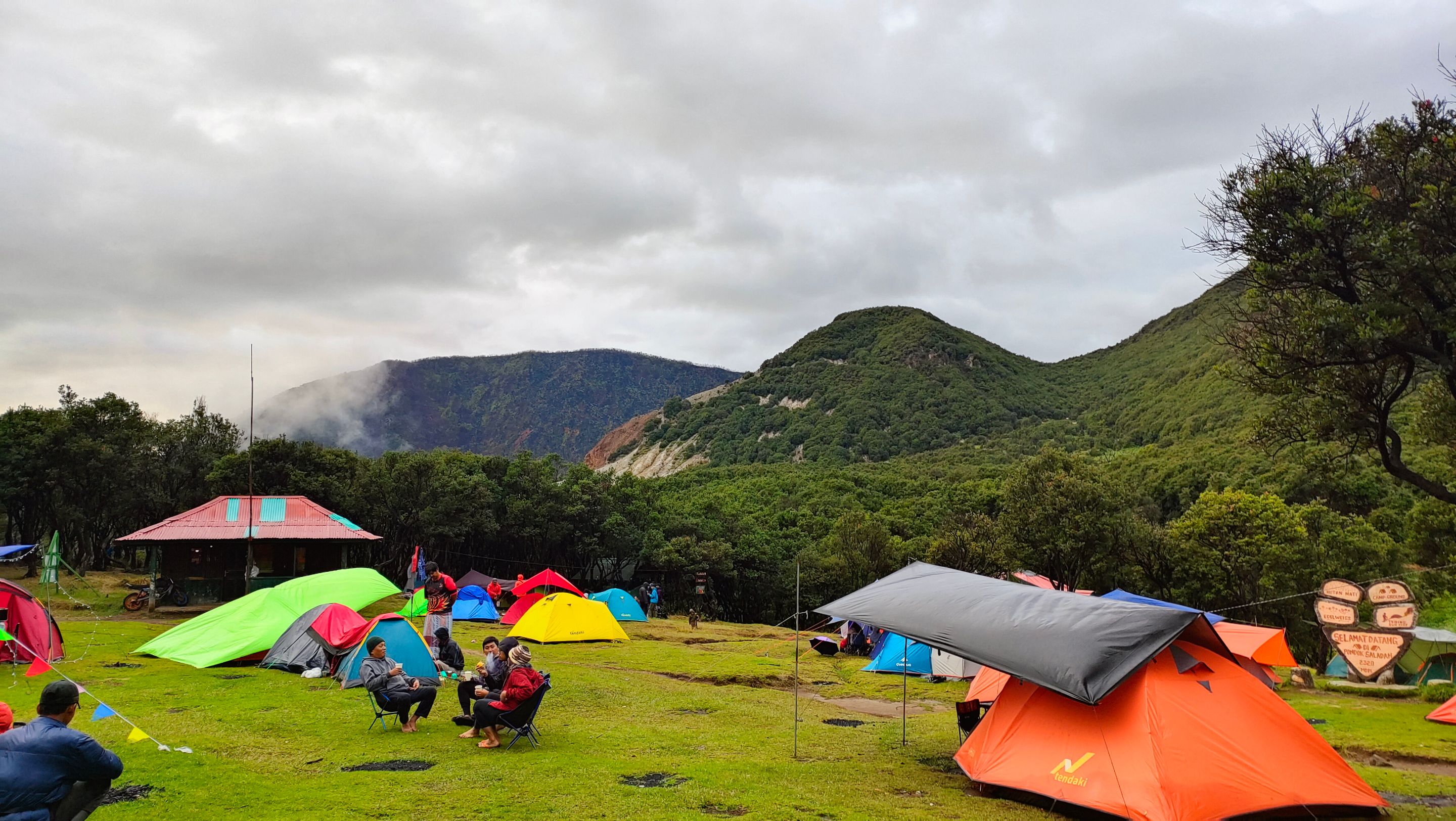
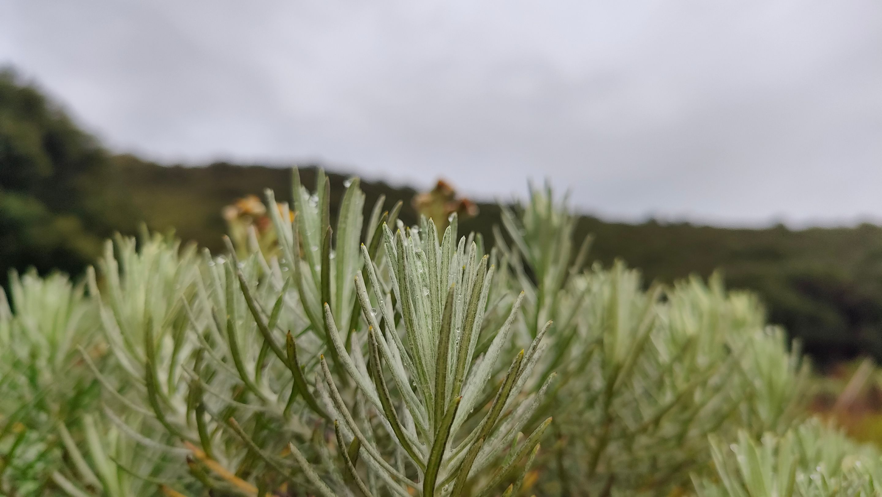
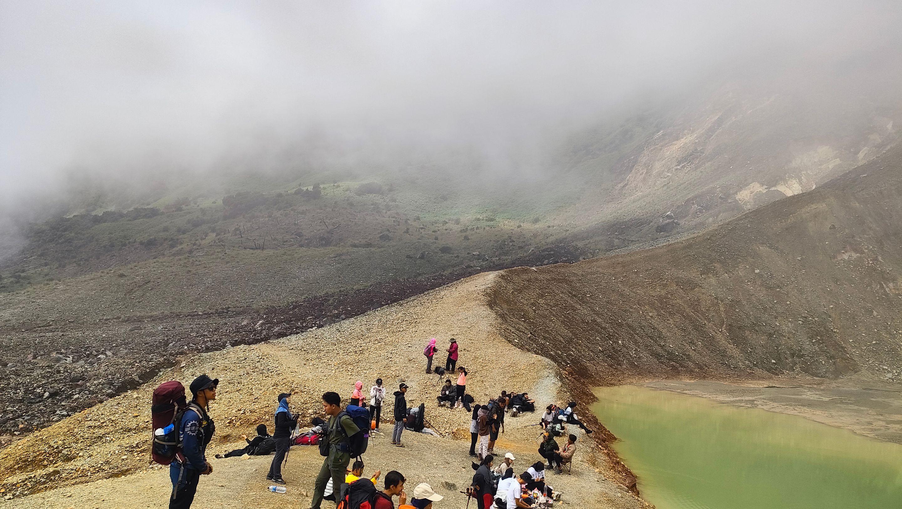
Finally, we arrived at Pondok Saladah. This area is a wide plain that has become a favorite camping site in Papandayan. Surrounded by shady trees and edelweiss flowers, Pondok Saladah offers a calm and cool atmosphere. Here, there are also several small stalls selling food and drinks and simple toilet facilities, which are very helpful for climbers...
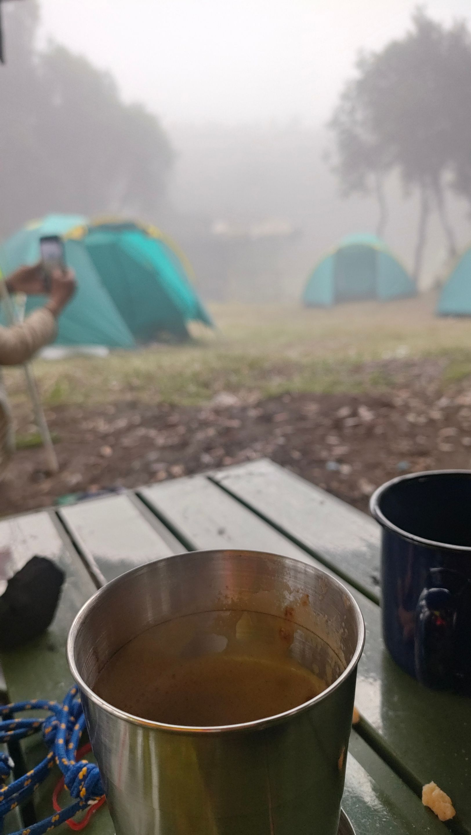
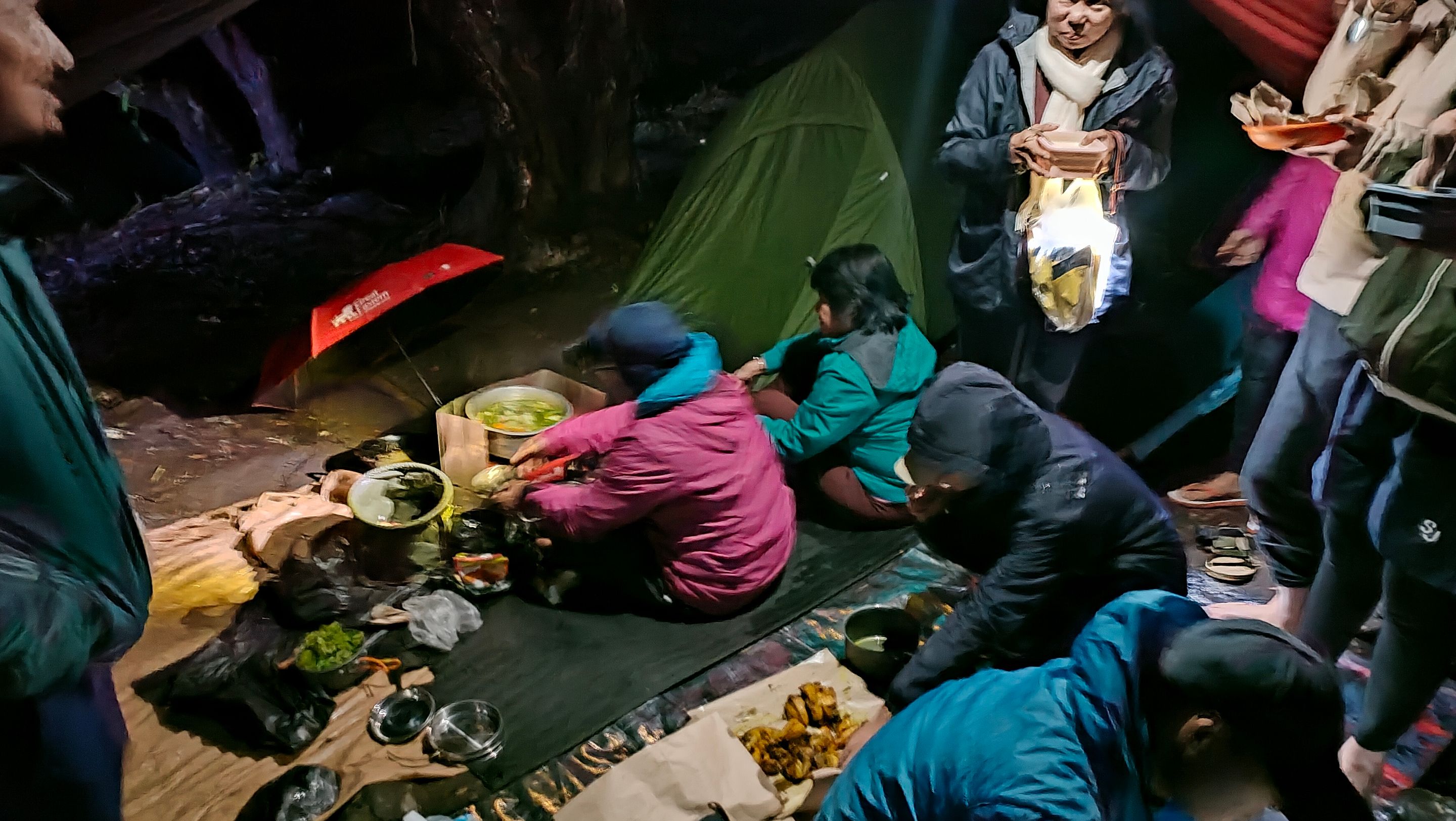
As the day began to darken, the men hurried to set up tents and the women took a moment to rest. The atmosphere started to get cold, and thick fog covered the campsite. The women immediately busied themselves cooking, while the men rested inside the tents to just relax their feet...
While resting in the tent and playing on my phone, I felt a tap on the back of my head. I was startled and suspected it was a wild boar..!! Apparently, Papandayan is indeed known as a habitat for wild pigs that often roam around the campsite in search of food scraps. This incident made me a little wary...
That night, the unwanted happened. At around 8 PM, heavy rain poured. Unfortunately, the tent I was in leaked badly, and the drainage we had made could not hold back the overflowing rainwater. Frustrated and cold, I and three friends from the same tent ultimately decided to evacuate and sleep in one of the stalls owned by local residents. Luckily, there was a stall there...
Armed with a sleeping bag, an inflatable pillow, a thick jacket, and thick socks, I tried to force myself to sleep. The heavy rain and my tired body made it impossible to do anything but rest...
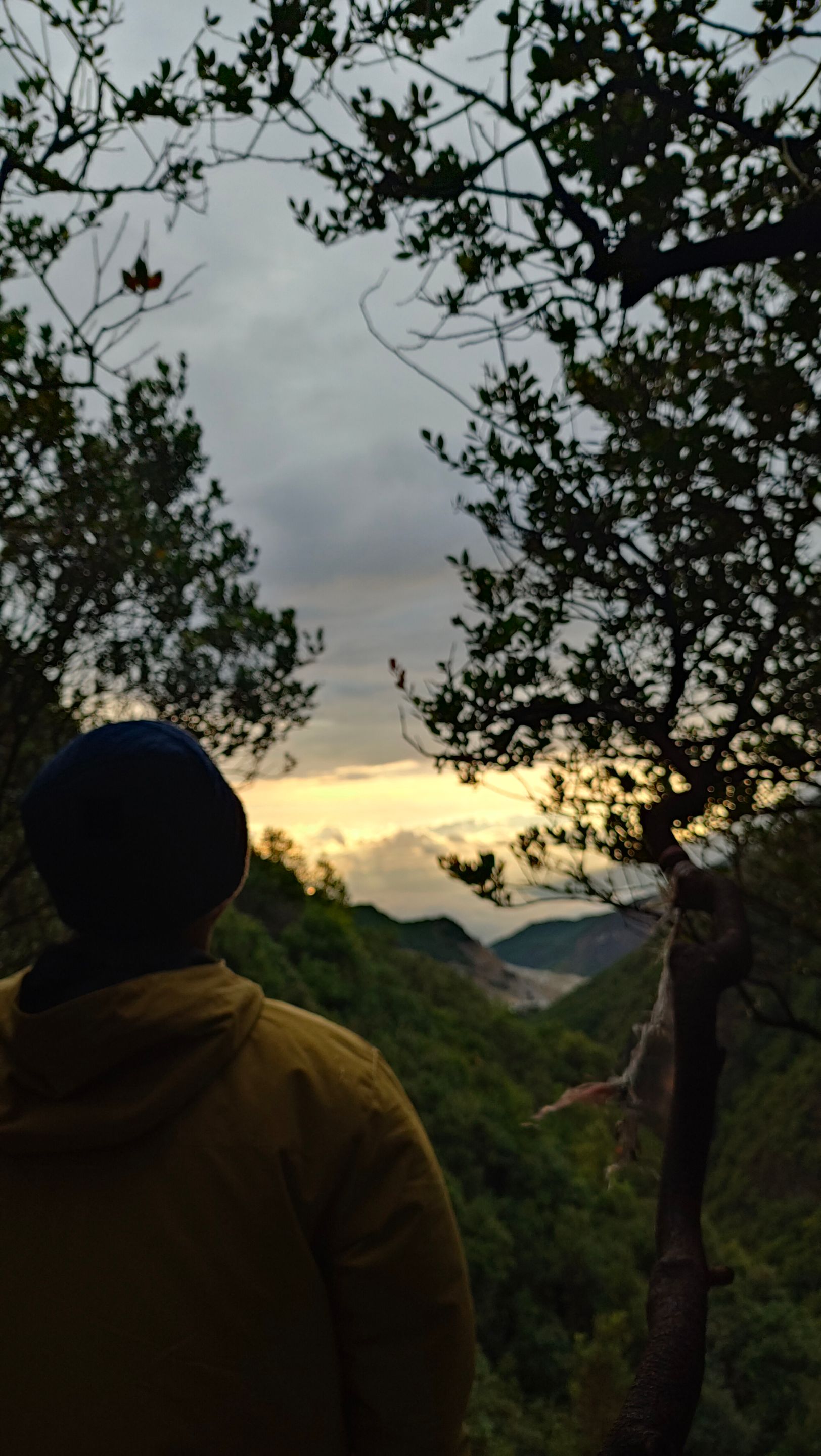
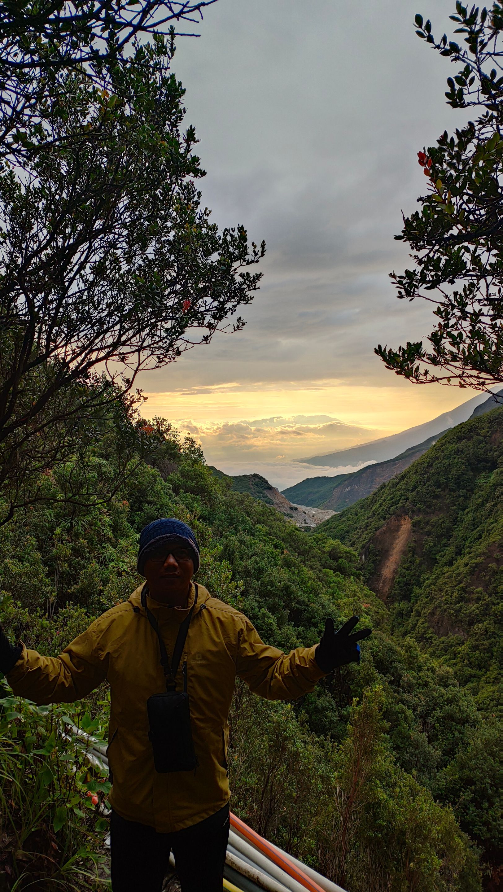
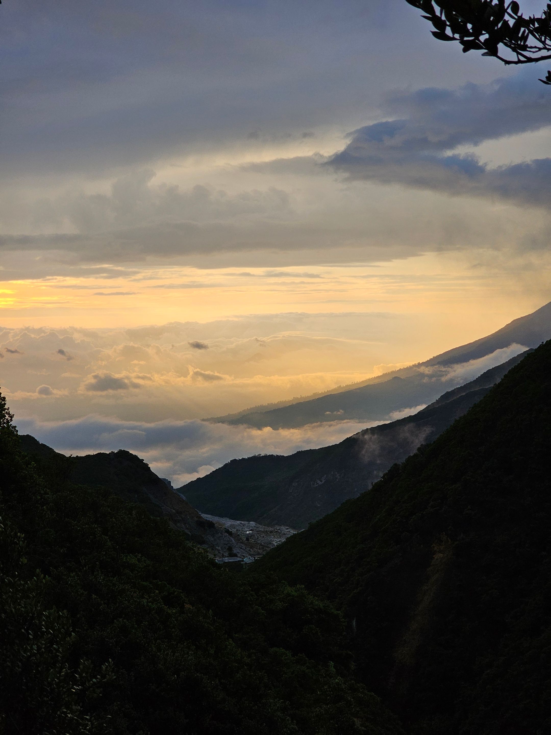
The next morning, the weather was truly clear after the night-long rain. We hurried out of the tent to enjoy the morning atmosphere and look for beautiful photo spots.
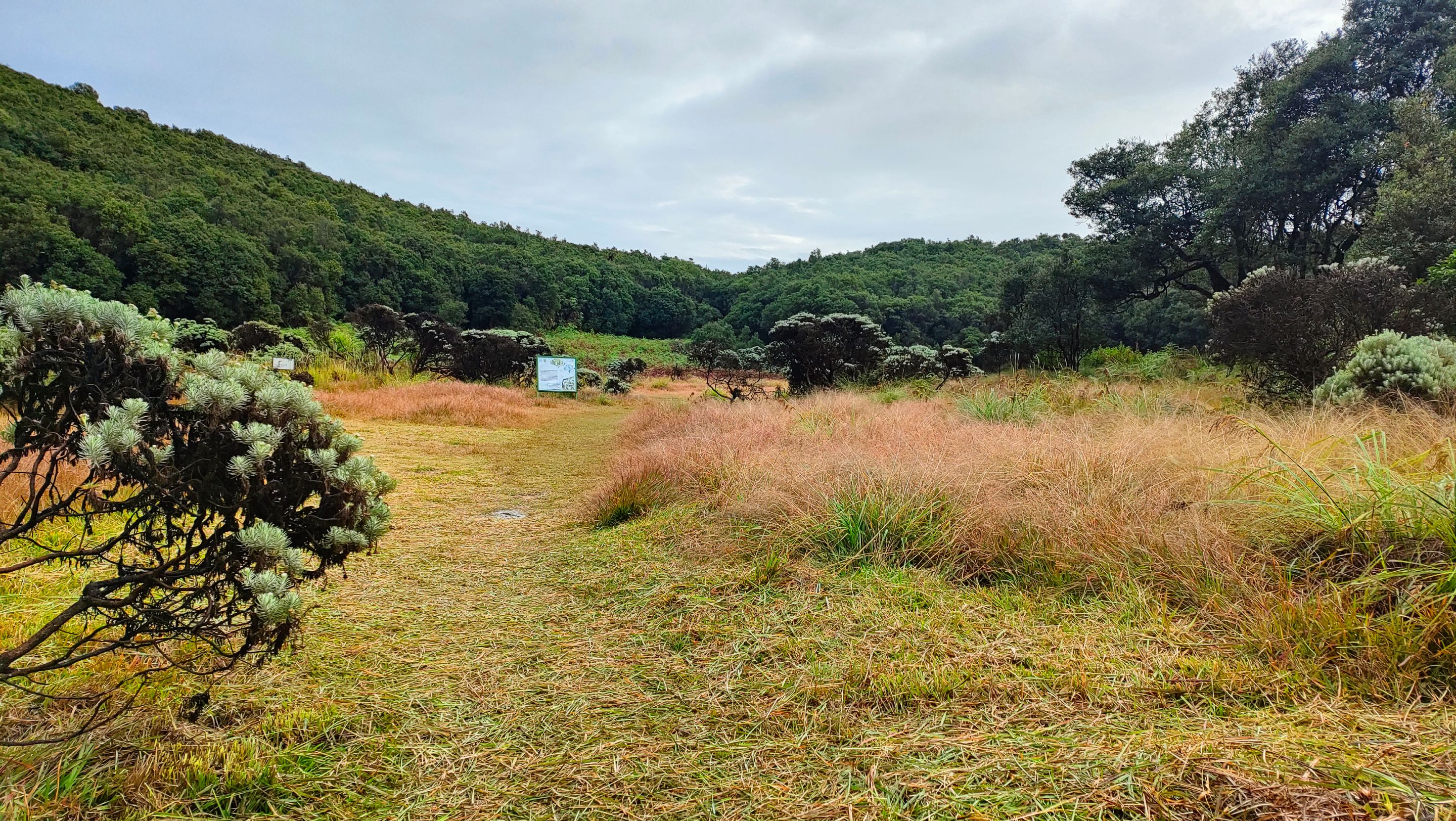
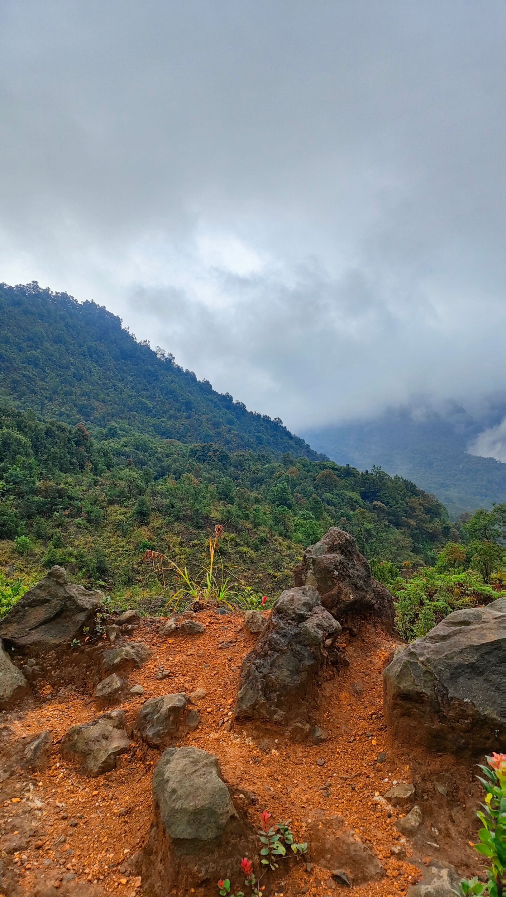
Since there was no signal at all, I decided to hunt for a signal. That was when I discovered a very beautiful view. A valley with the sun shyly revealing itself. I stood there for a few minutes, admiring the natural beauty of Papandayan...
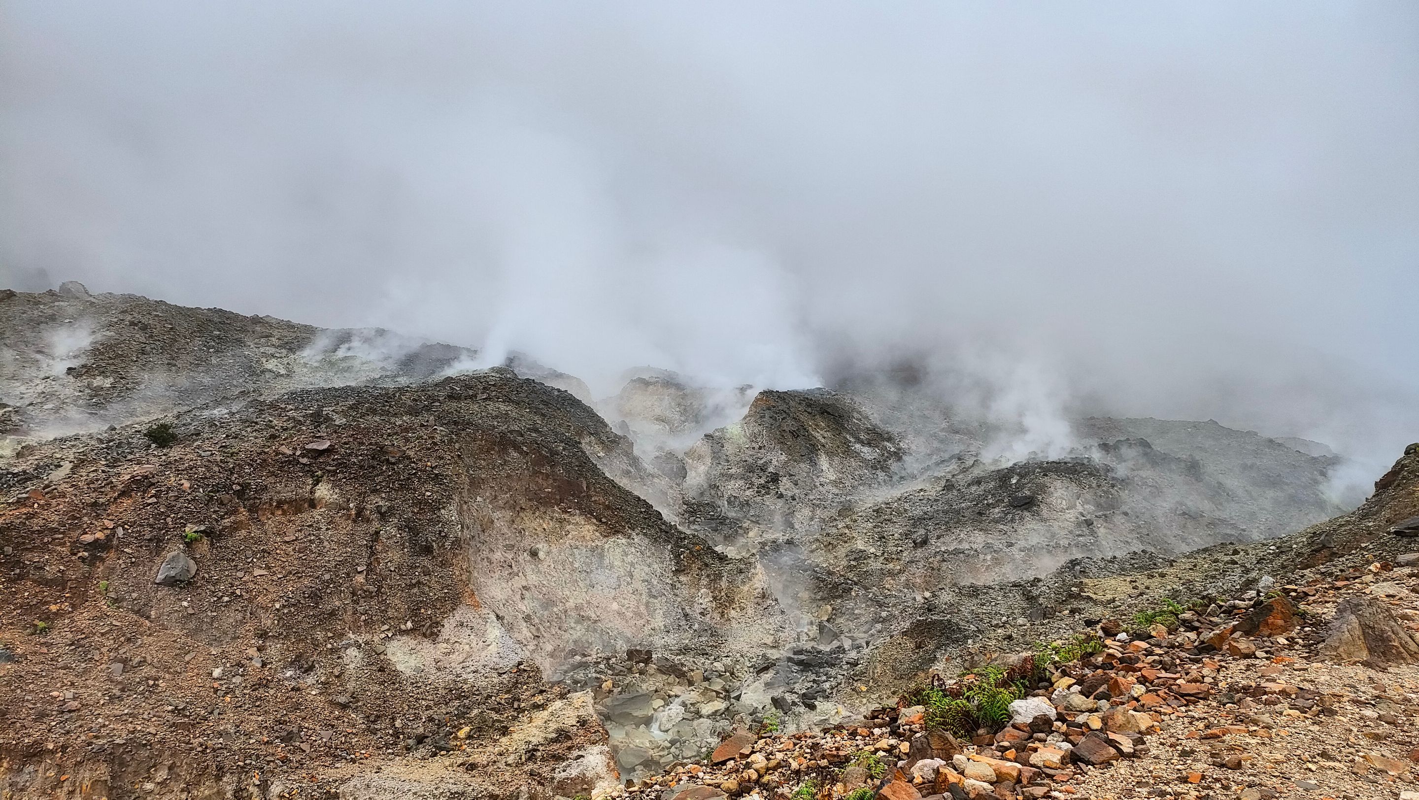
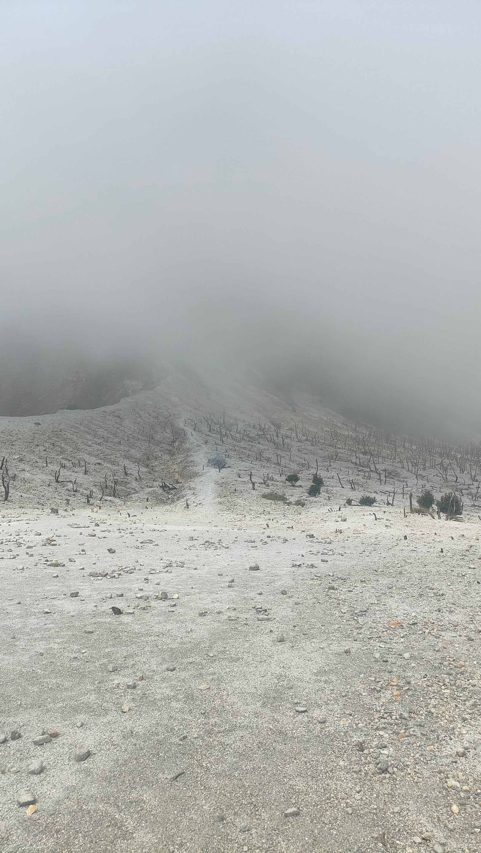
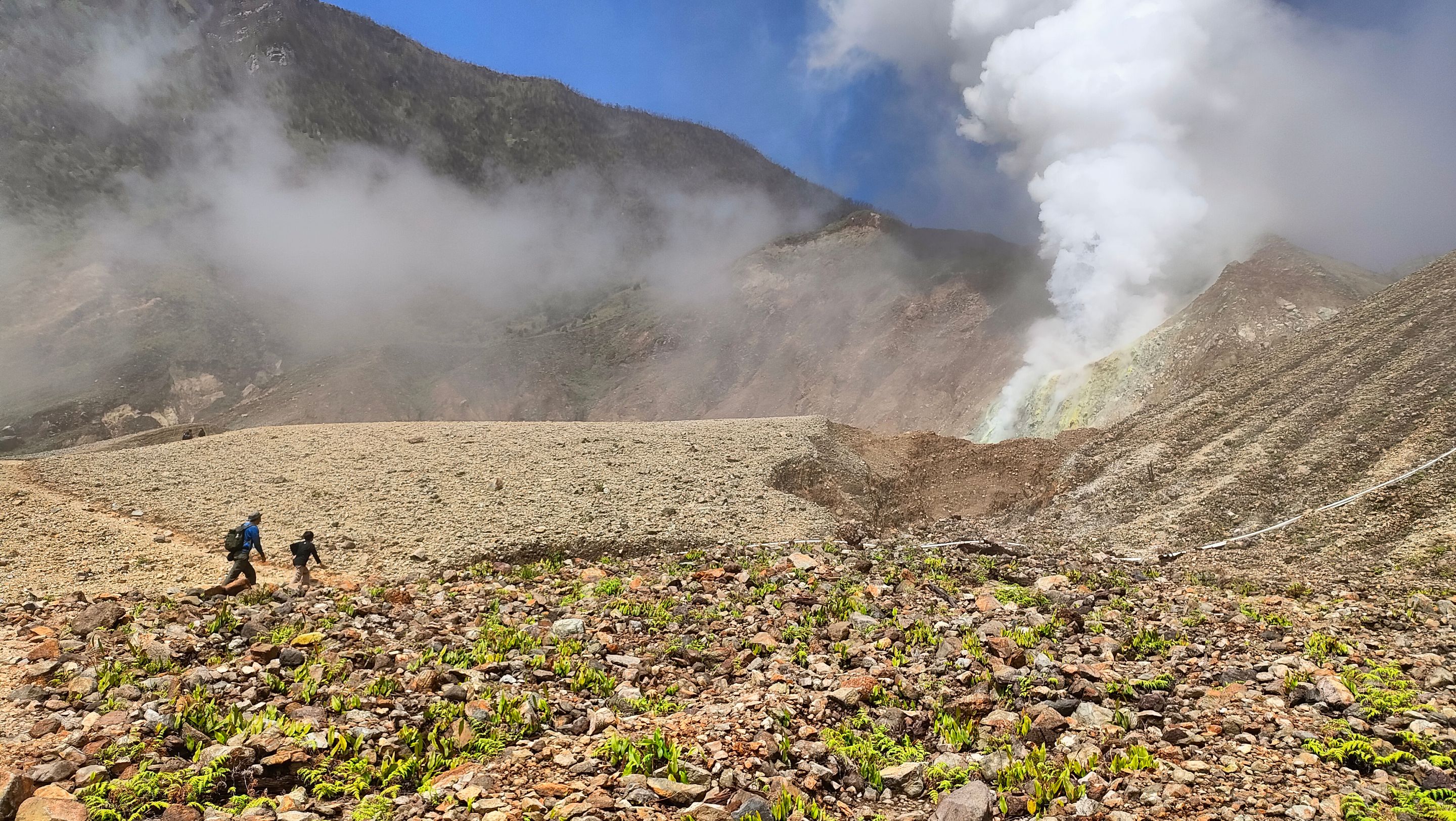
At 10 AM, we began to descend to explore the Dead Forest. This area is very unique. The trees that were scorched by the eruption of Mount Papandayan in 2002 still stand strong on the barren and rocky ground, creating a very unique view... The atmosphere there is very quiet and mystical, making it one of the most iconic and Instagrammable photo spots.!!
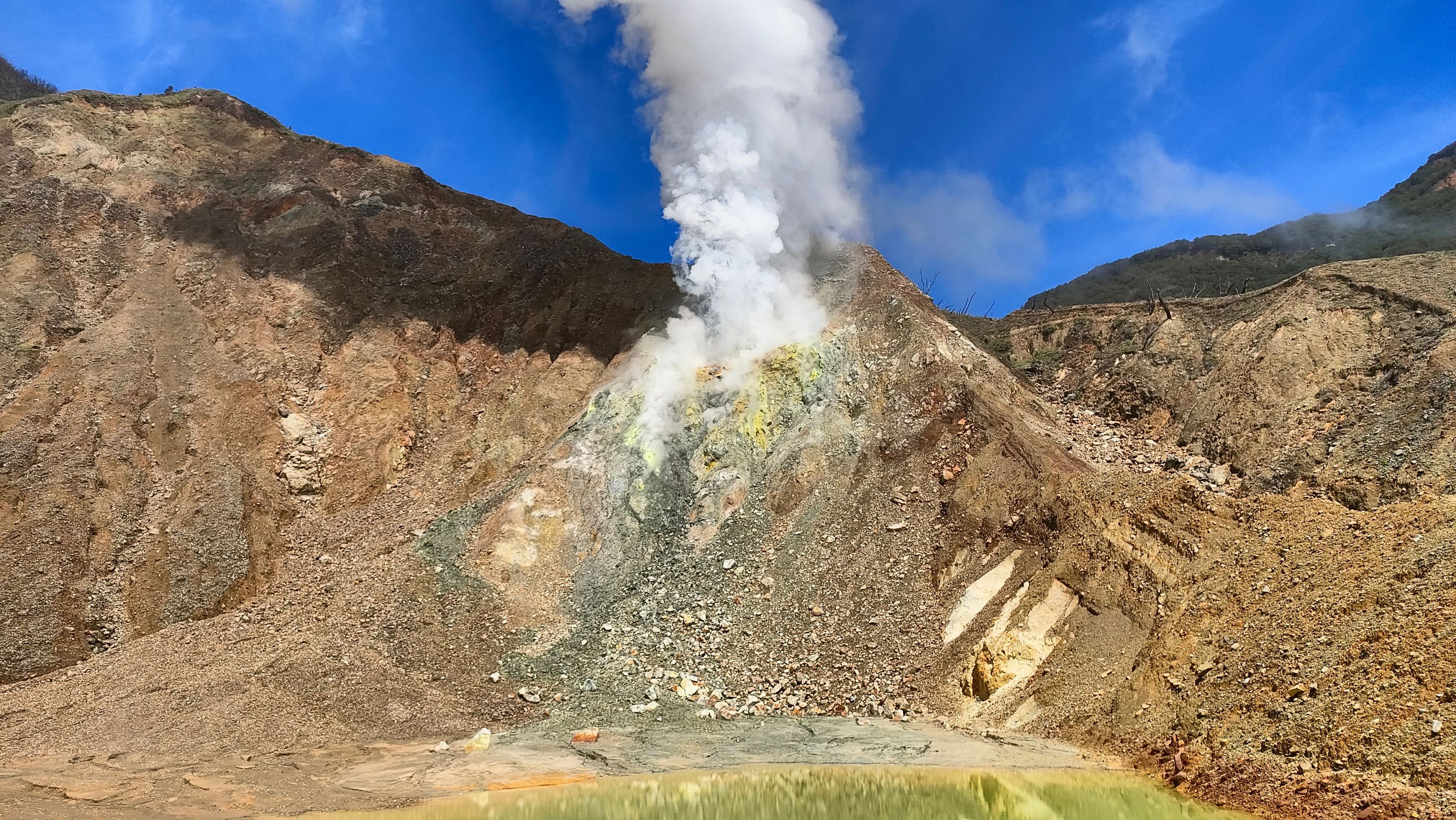
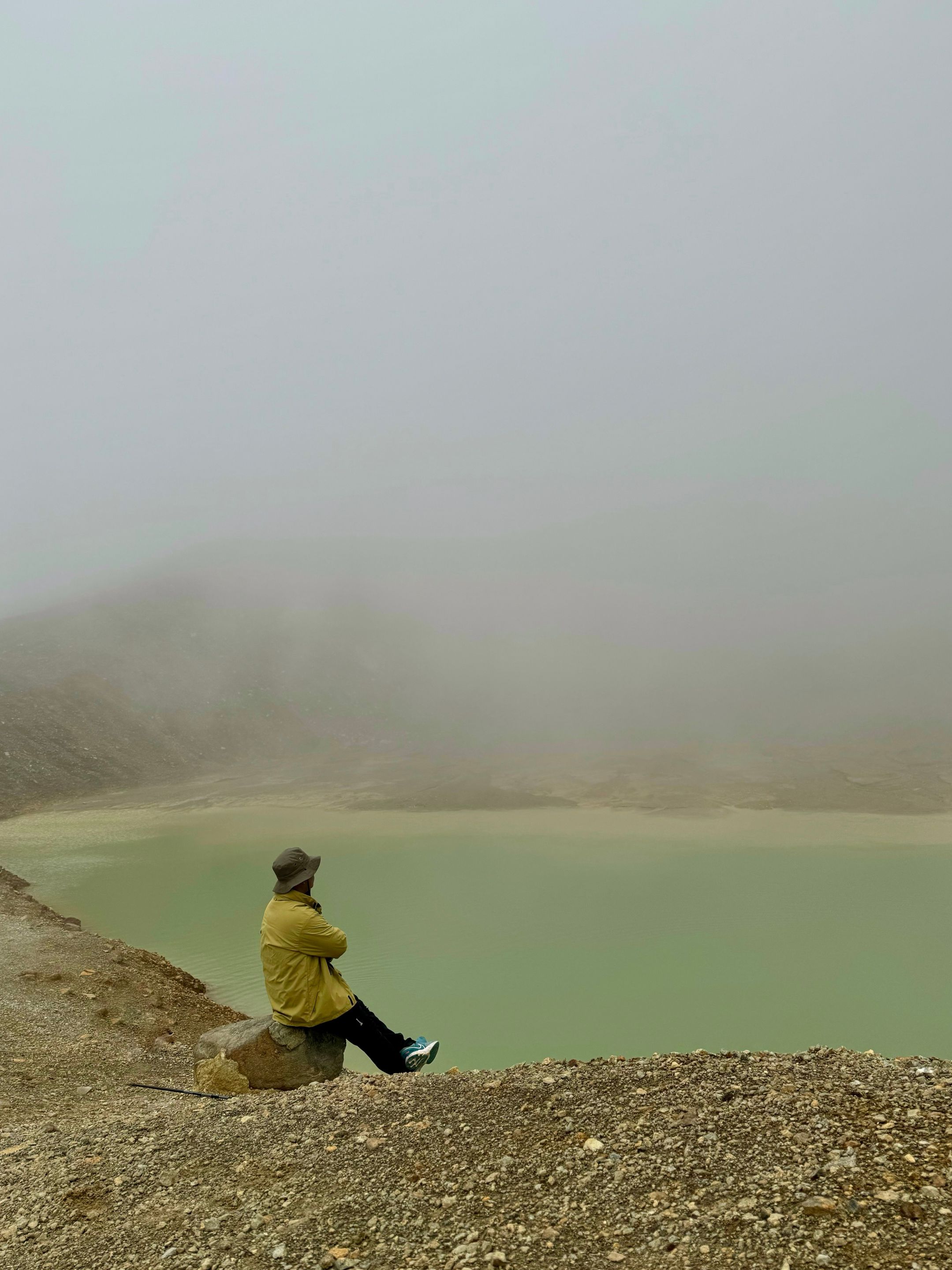
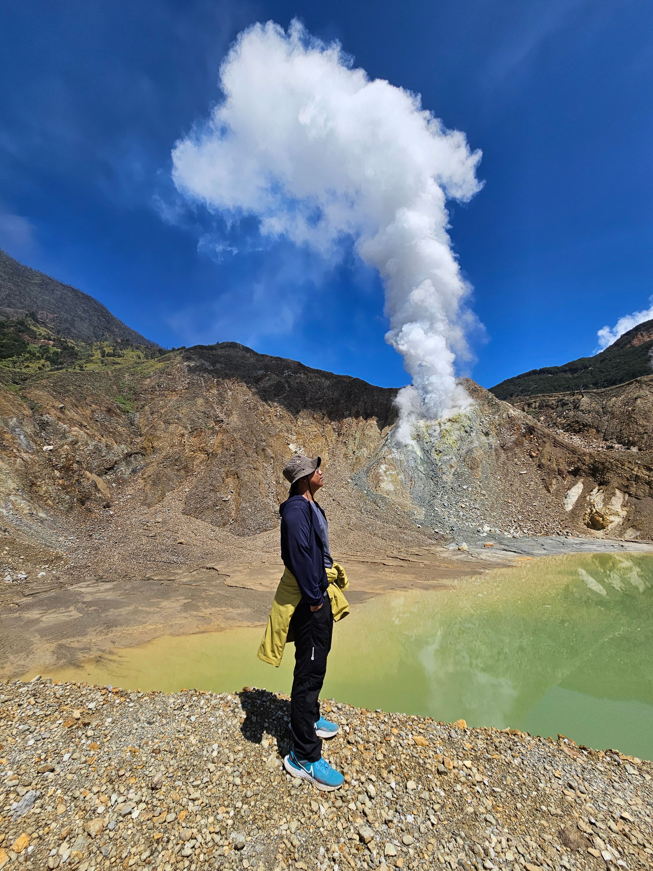
After leaving the Dead Forest, we continued our journey to New Crater. This crater also formed after the eruption in 2002. There, we found a Cold Water Lake with a diameter of about 10 meters. The water was greenish and not advisable to approach or touch because of its high sulfur content. After enjoying the view of the lake, we continued our journey down the mountain...
IMG20240630122157.jpg (https://files.peakd.com/file/peakd-hive/mnssatrio/23wgHYcrDKxirz9gXNiKSSumzwwBRzE5smvgEskAsx1ihPSXNNxJDUswQ1Fuuq5RjGyZV.jpg)
Conclusion
----
Hiking Mount Papandayan is an unforgettable experience for me.!! Although its elevation is not too extreme, the varied terrain offers a complete adventure. This journey is full of surprises, from changing weather, wild boar encounters, to leaking tent issues. However, all of this is well worth it with the enchanting view of the Dead Forest, the unique Cold Water Lake, and the mesmerizing beauty of the sunrise. This experience proves that hiking is not just about reaching the summit, but also about how we enjoy every challenge and beauty along the way...
20240629_074325.jpg (https://files.peakd.com/file/peakd-hive/mnssatrio/23rB7WaLBuyo7aerFtVLEhECQ9Ea5xAiKiXLNXTGyFgQfqDoYaBJeFpXPUdXFZMA1jJWC.jpg)