Click here to read this post in English

Hola querido hiver.
Con la llegada del buen tiempo añado un nuevo lugar para mis paseos: el Parque Hispanidad y su urbanización adyacente. Son varios los motivos, pero el principal es que en esta zona hay bastante sombra para resguardarme del calor.
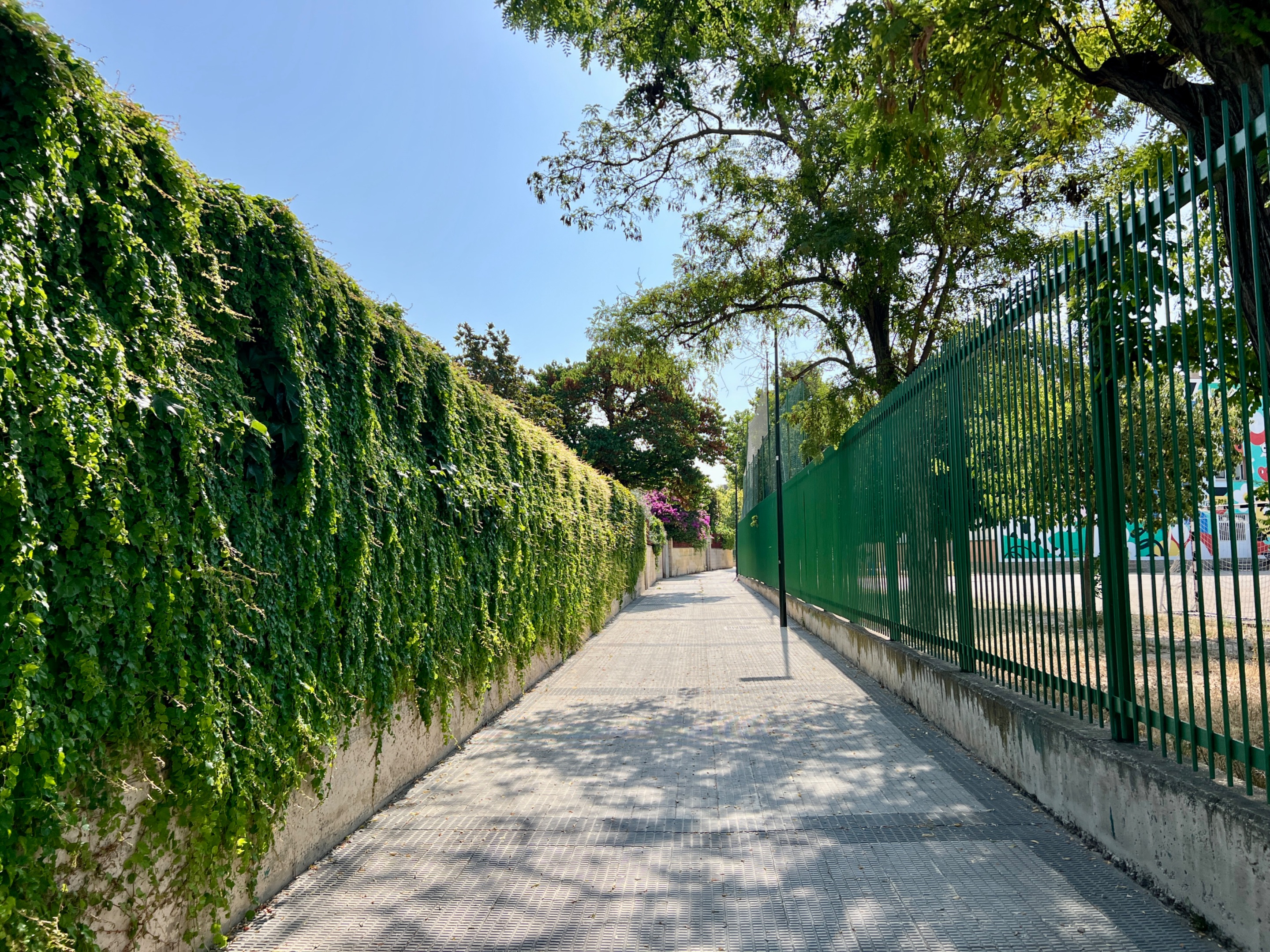
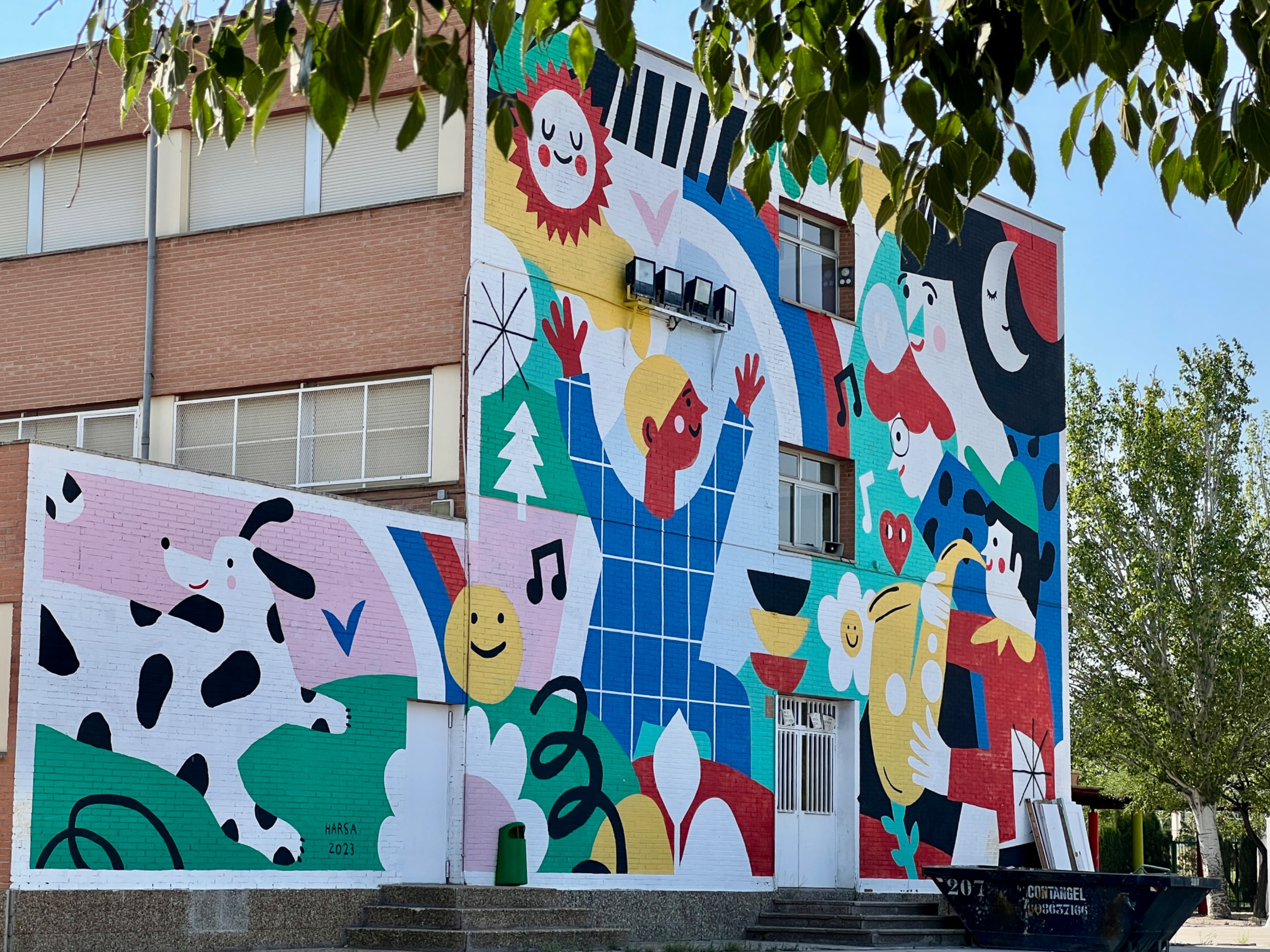
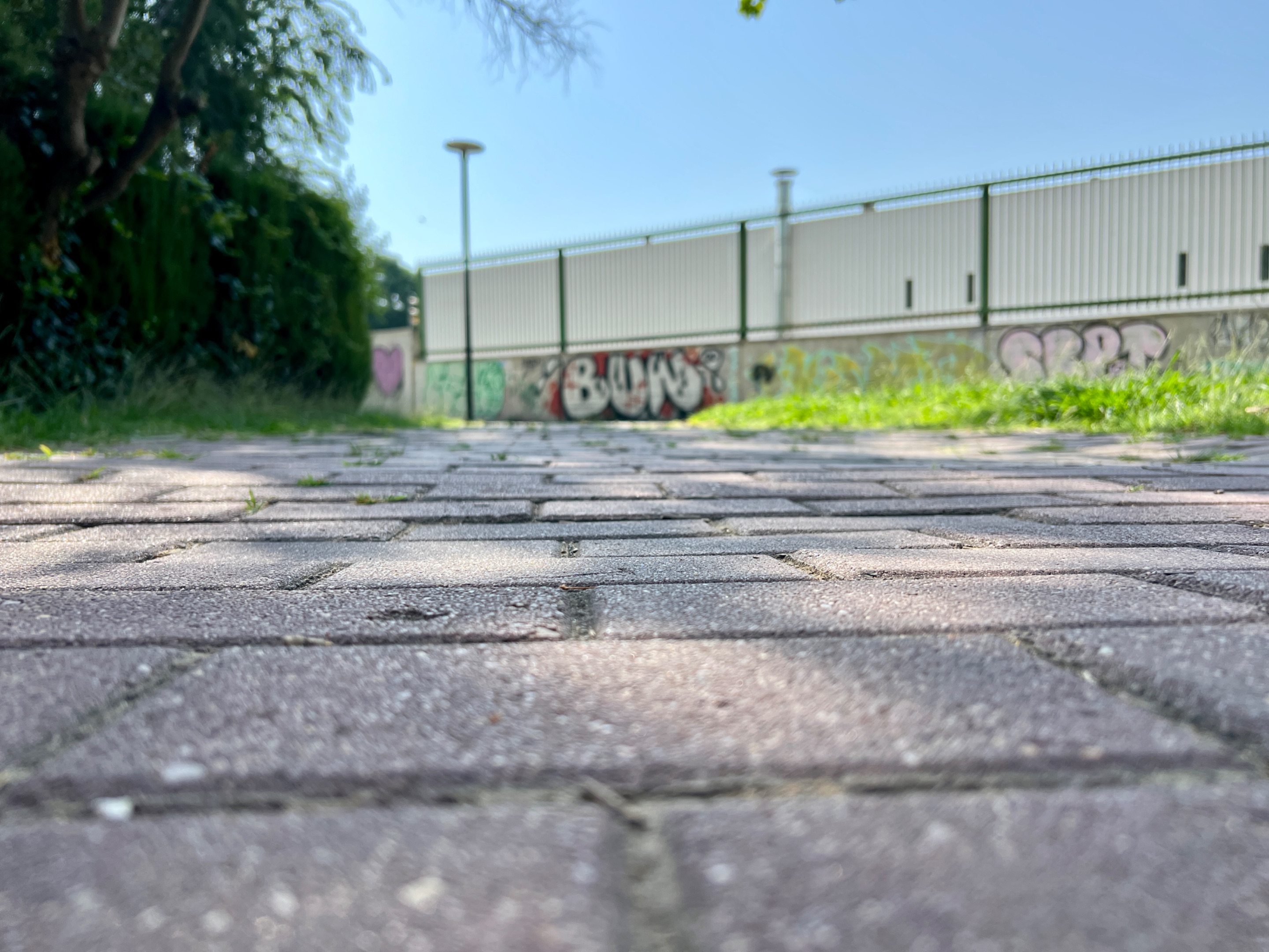
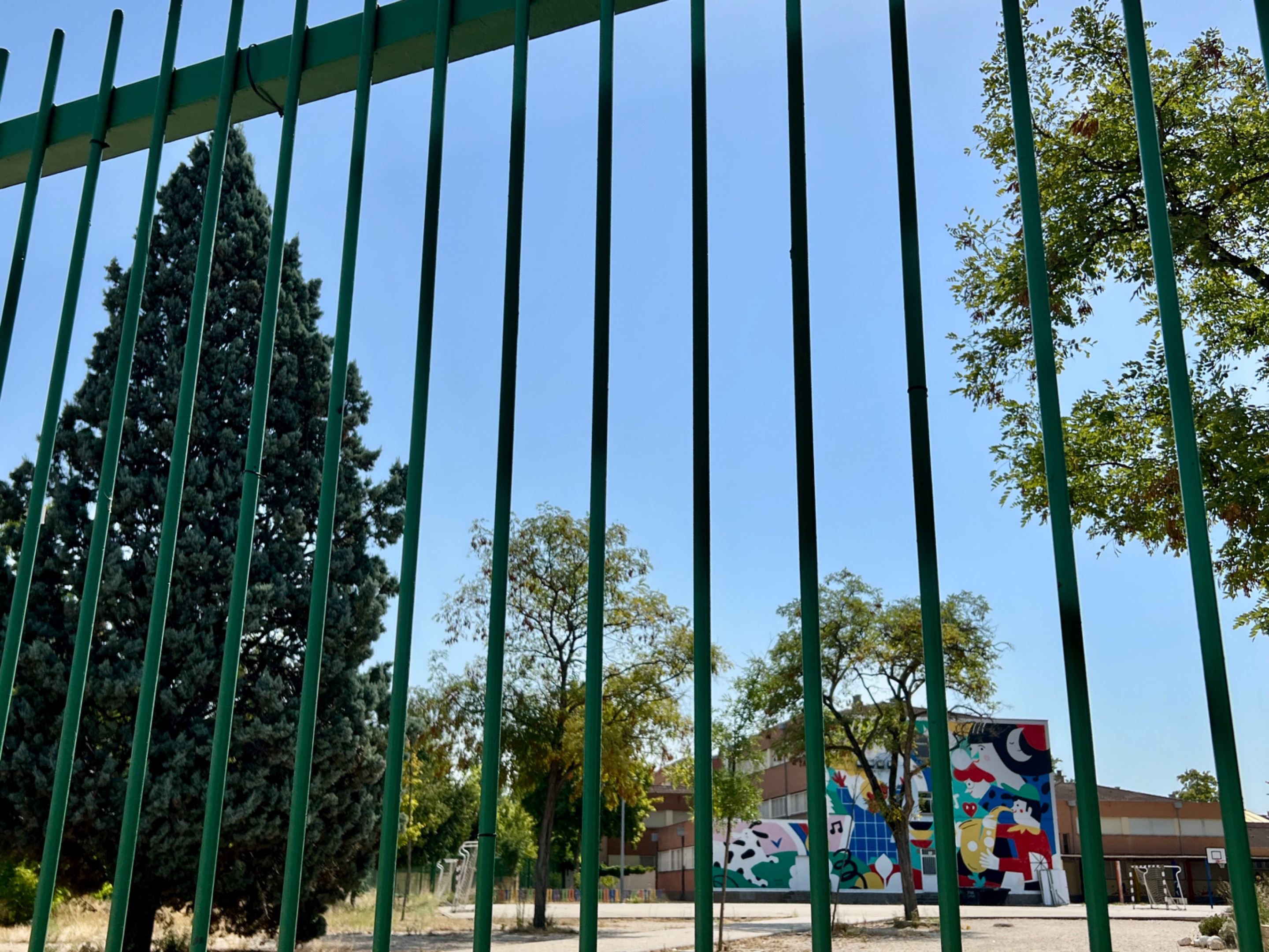
Además tengo el acceso casi en frente de mi casa. Solo tengo que cruzar la avenida y atravesar un pasaje que transcurre paralelo al colegio Hispanidad, que puedo ver desde las ventanas. Tiene un bonito mural que pintar hace varios años.
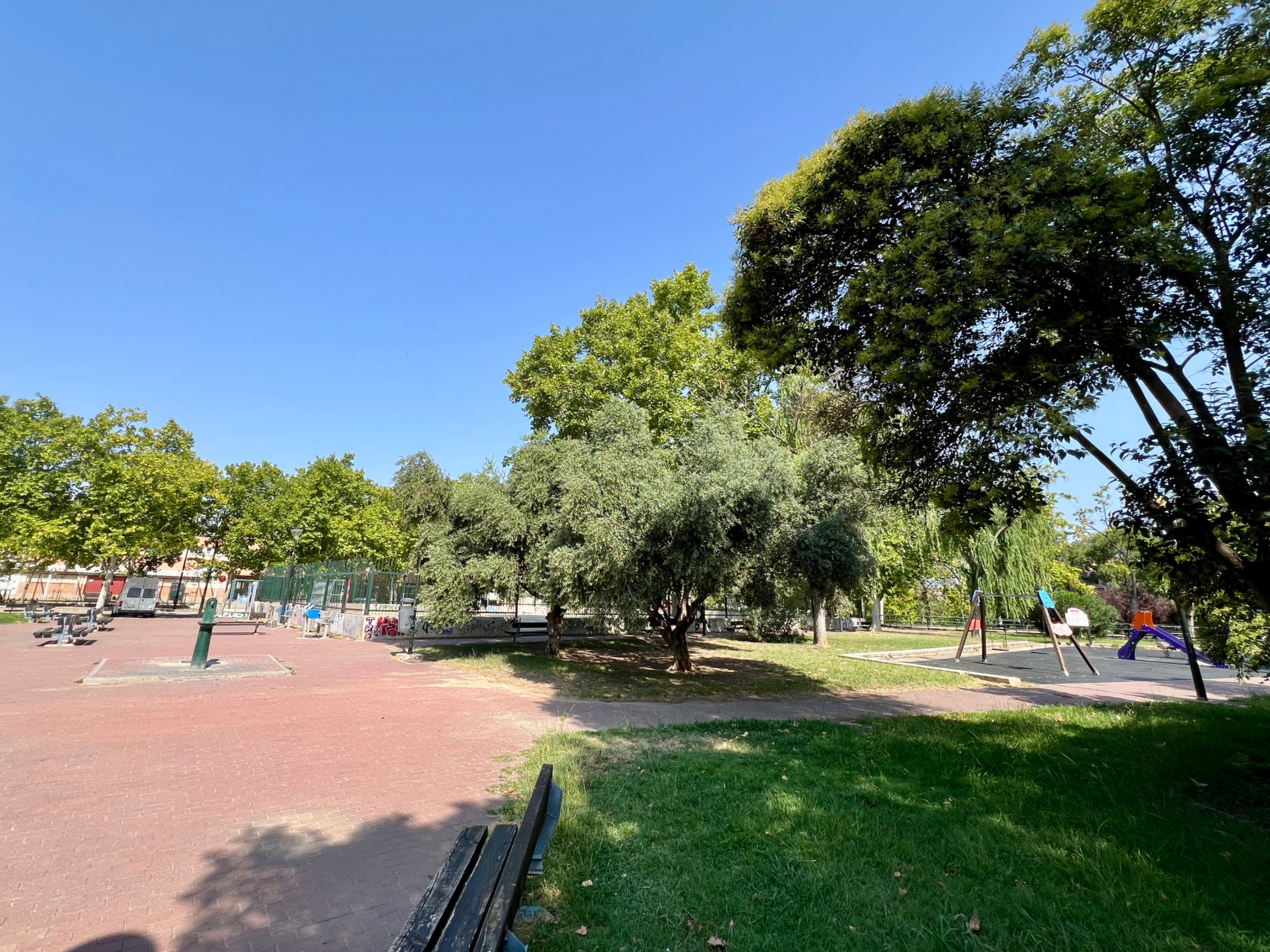
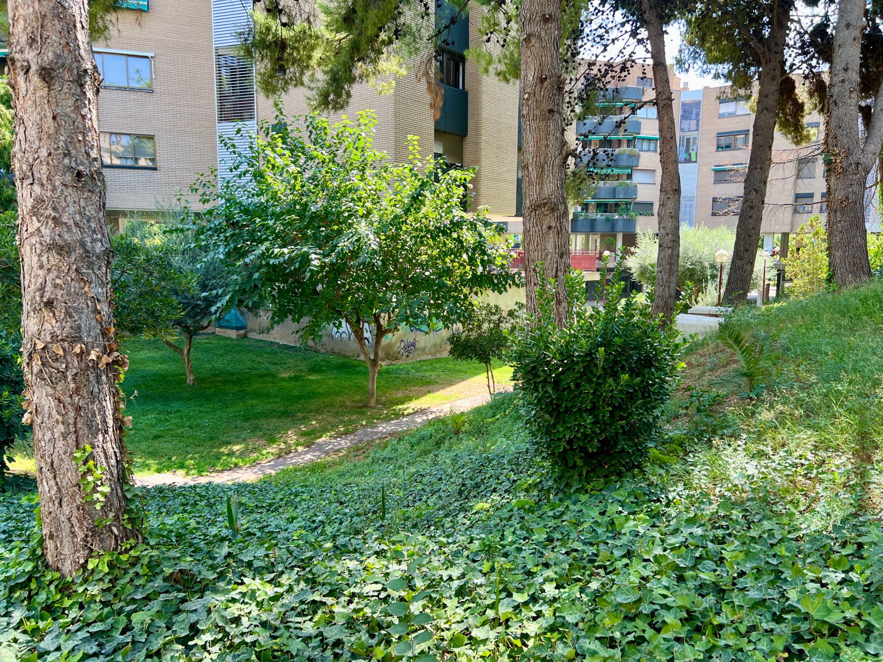
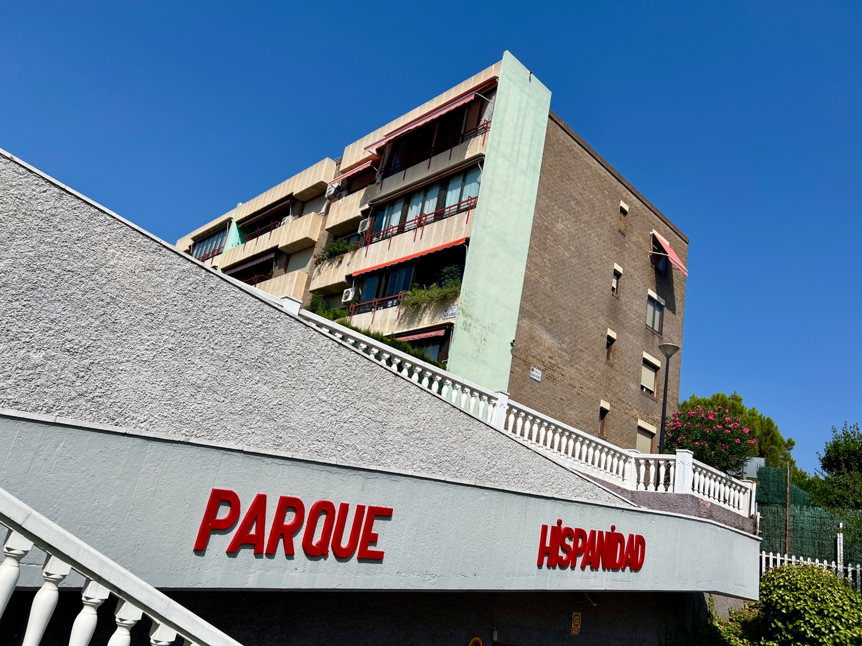
Al otro lado del colegio se encuentra el Parque Hispanidad. En realidad es una plaza amplia con columpios, varias pistas deportivas, aparatos para hacer gimnasia para personas mayores y zonas verdes con bancos para descansar.
Sin embargo, el parque es solo una pequeña parte de lo que compone toda una gran urbanización que recibe el mismo nombre. Es eso lo que te voy a mostrar. Es lo que veo cada vez que me doy una vuelta por aquí.
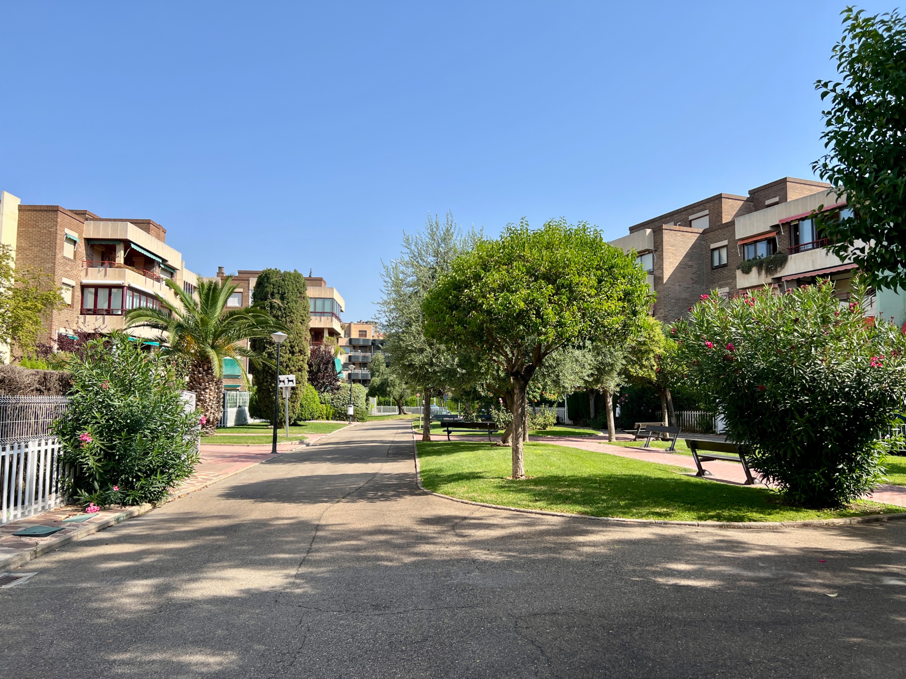
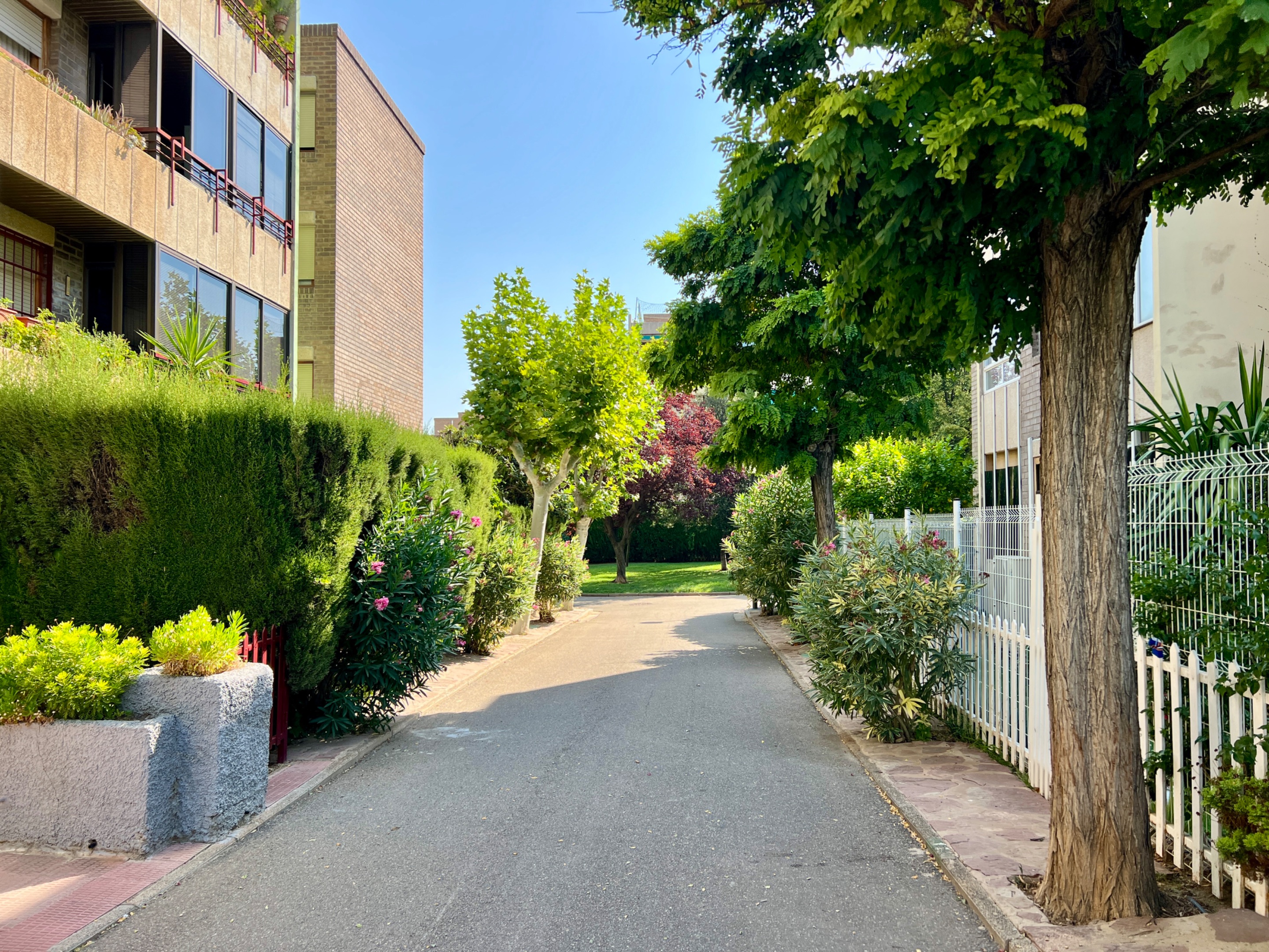
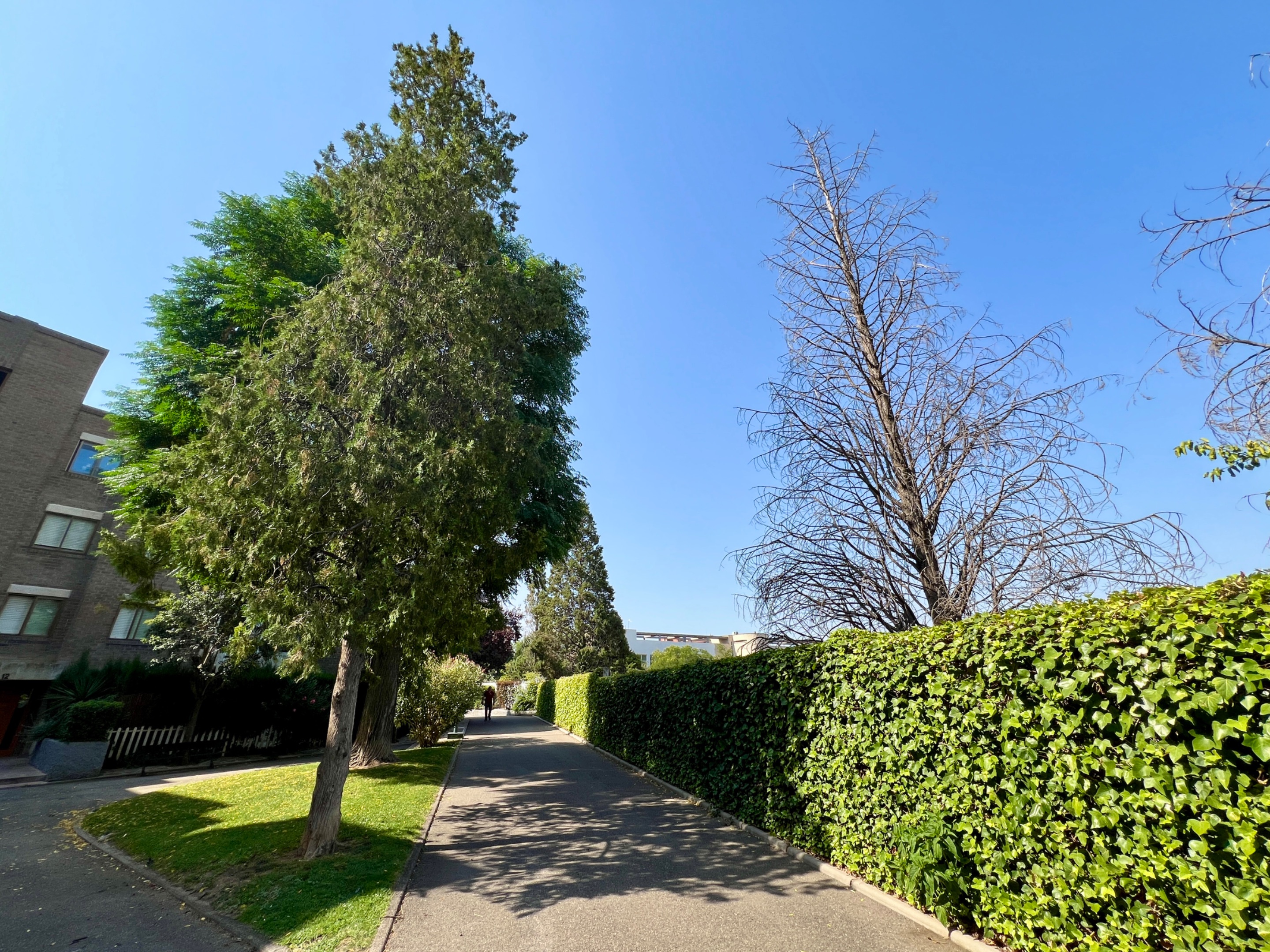
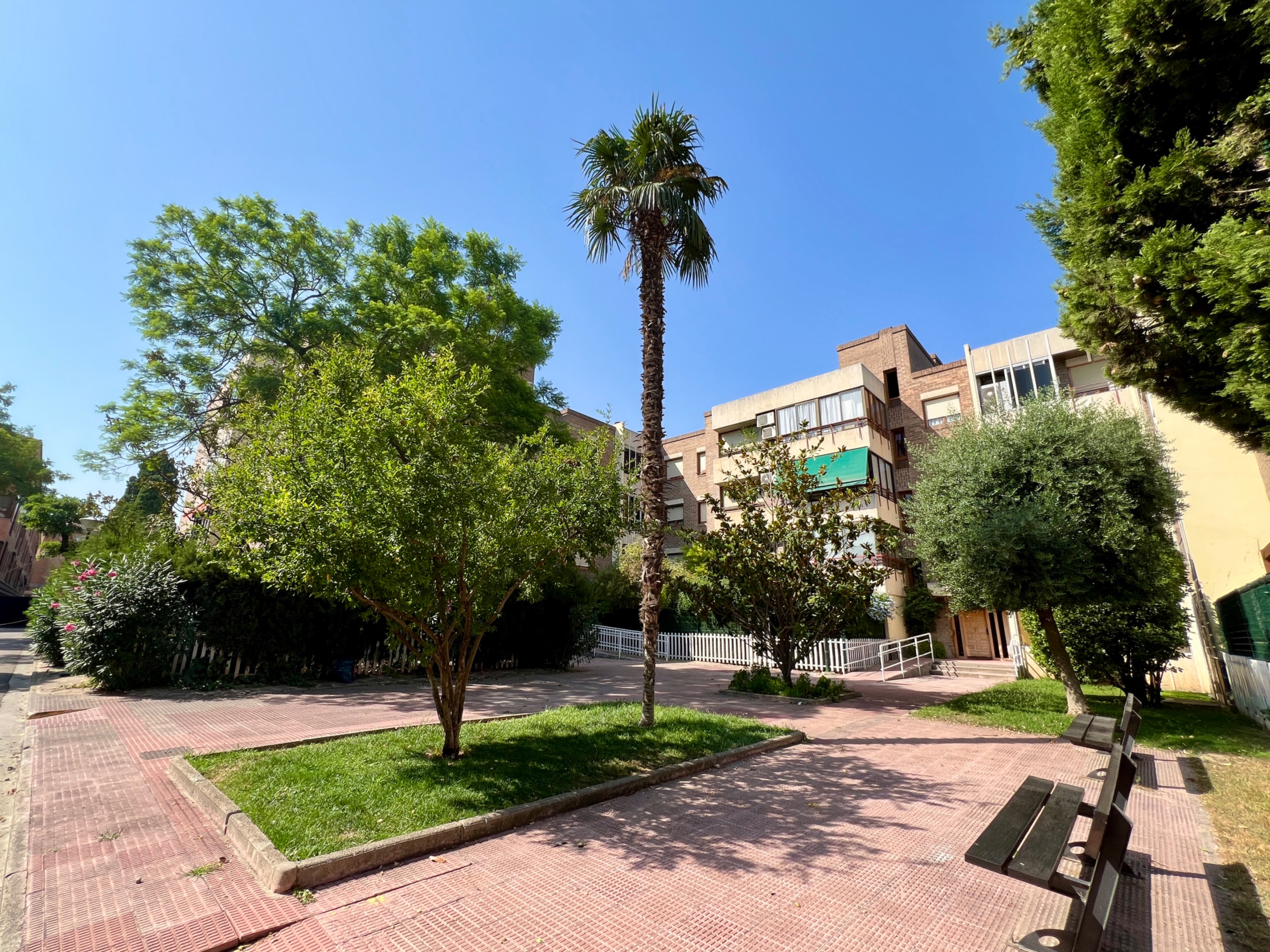
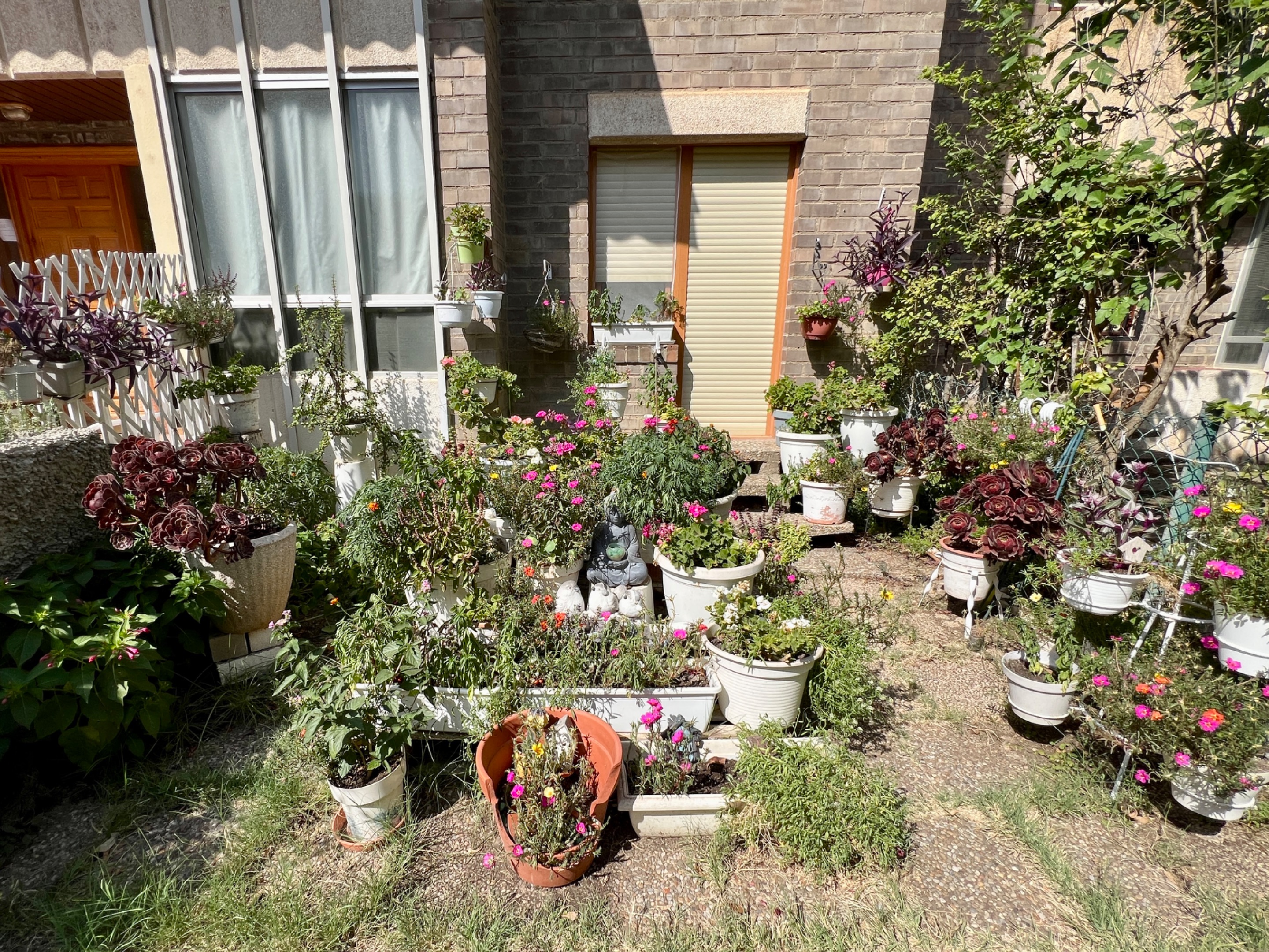
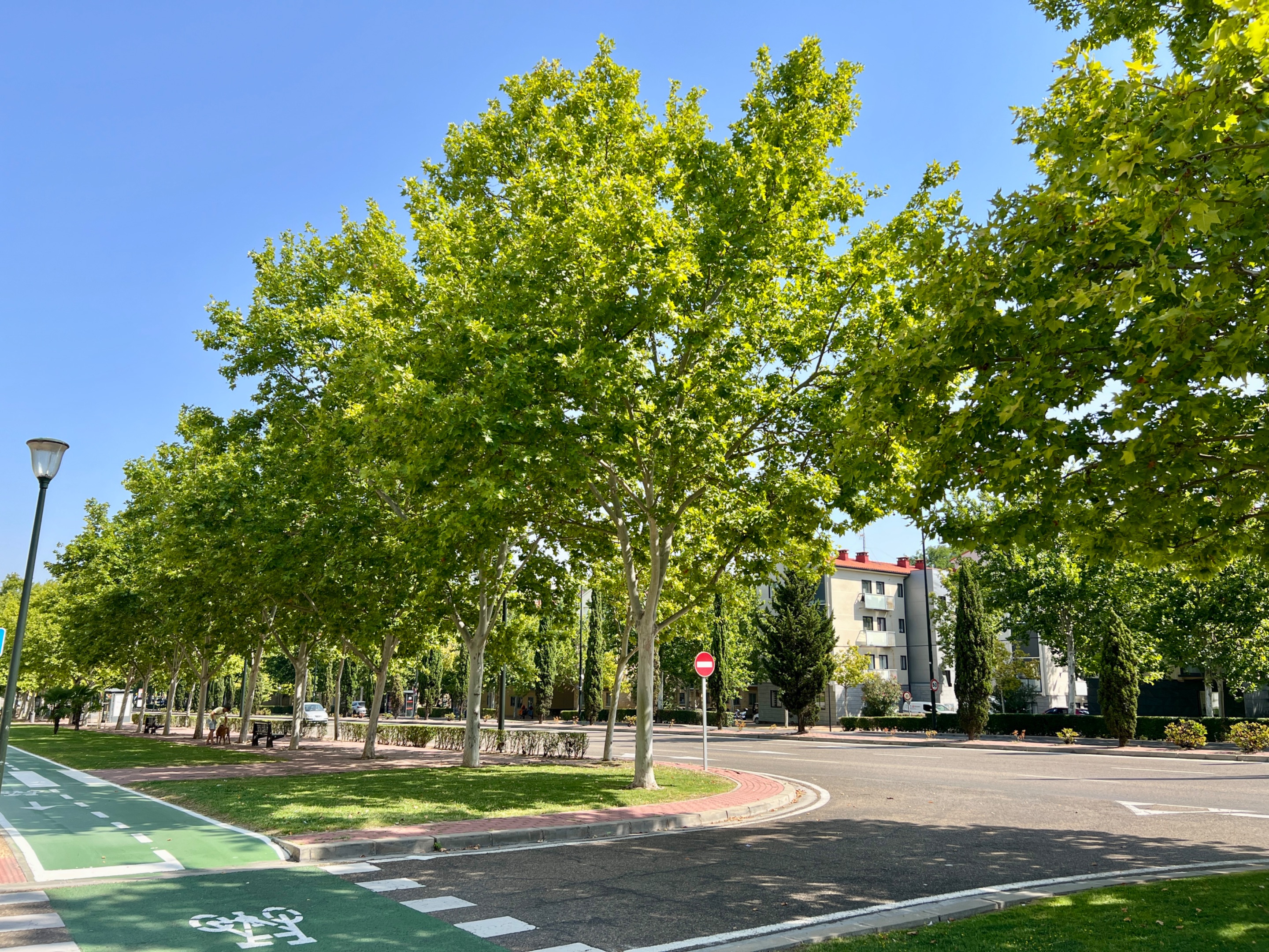
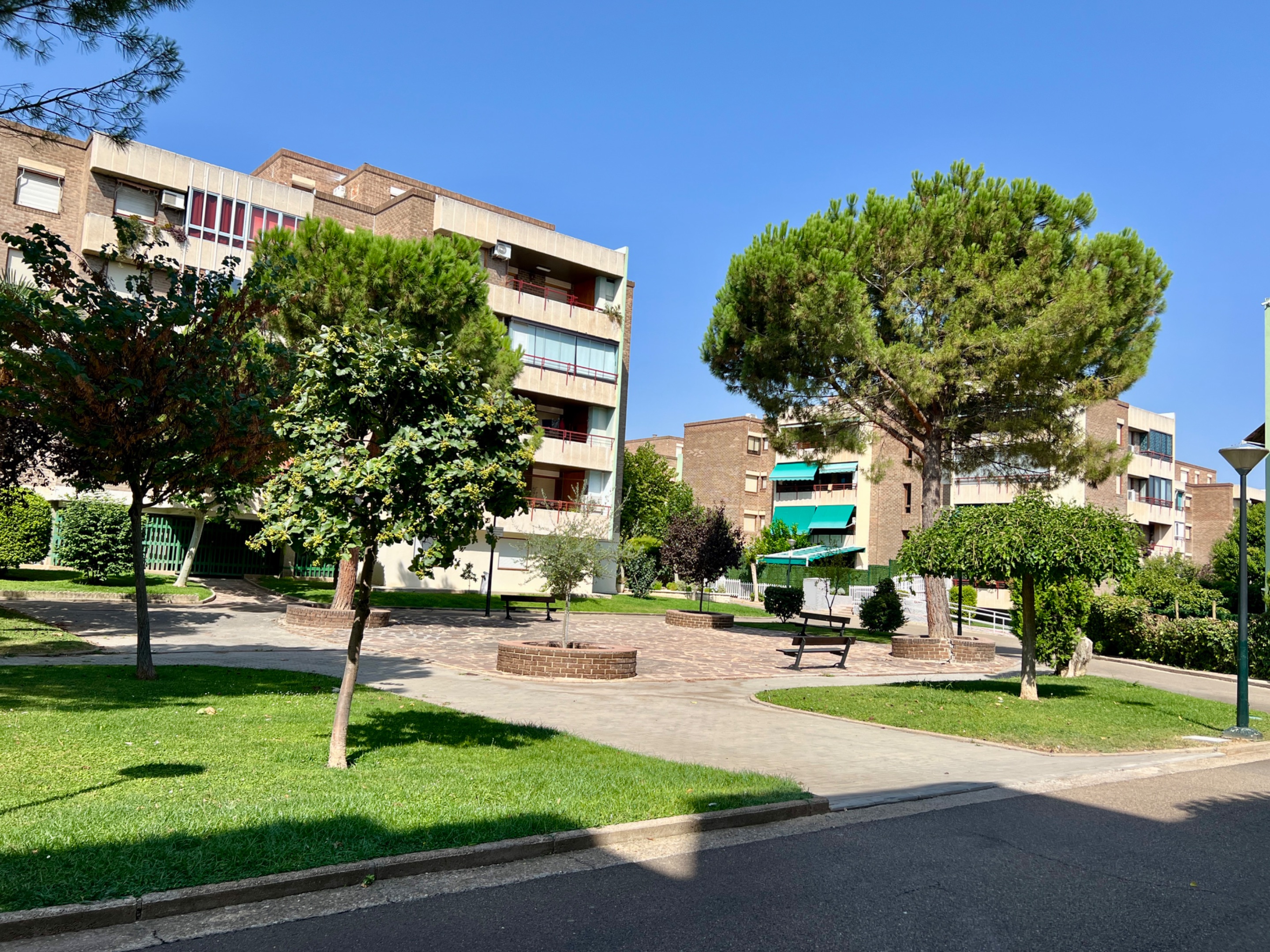
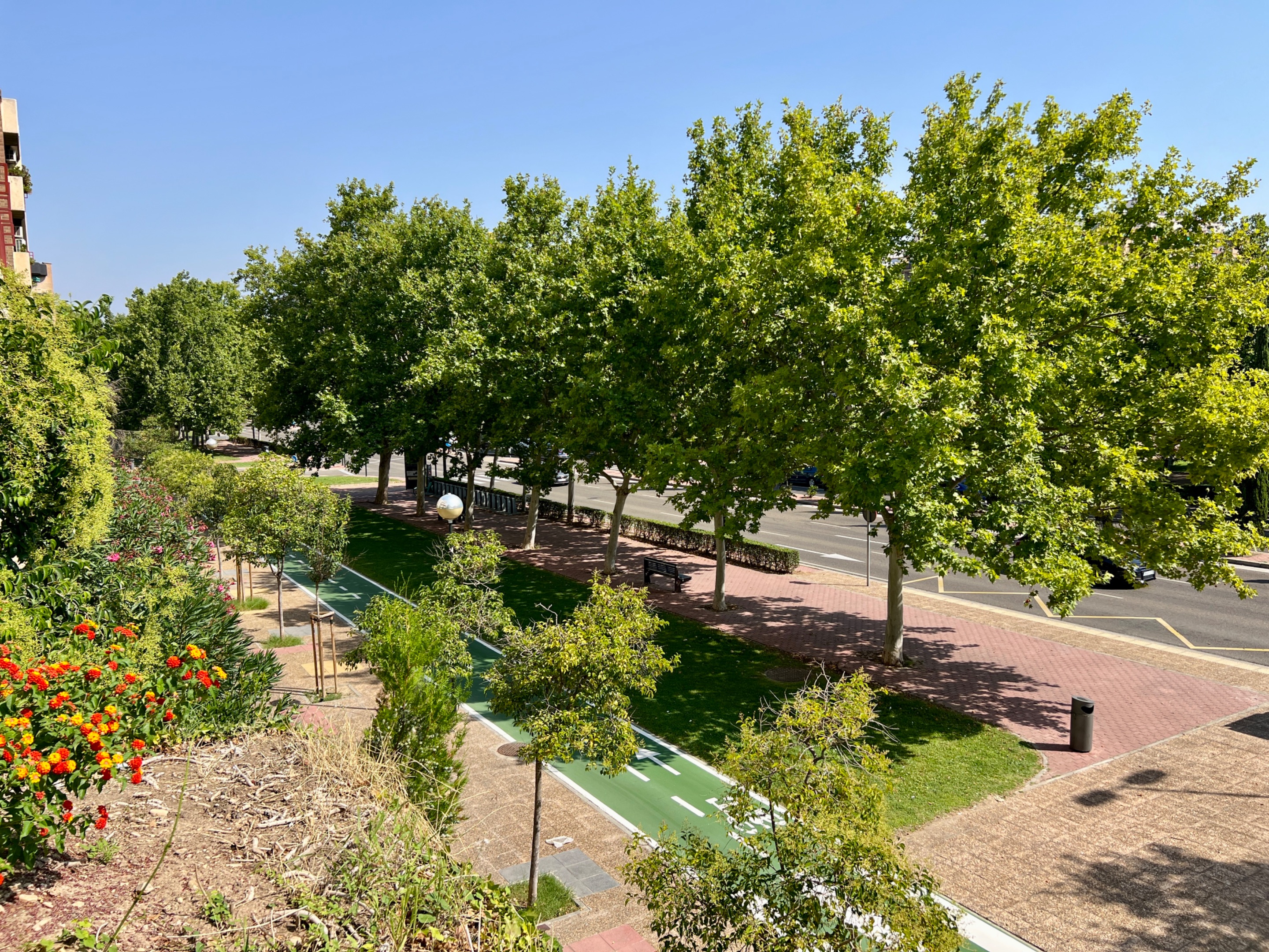
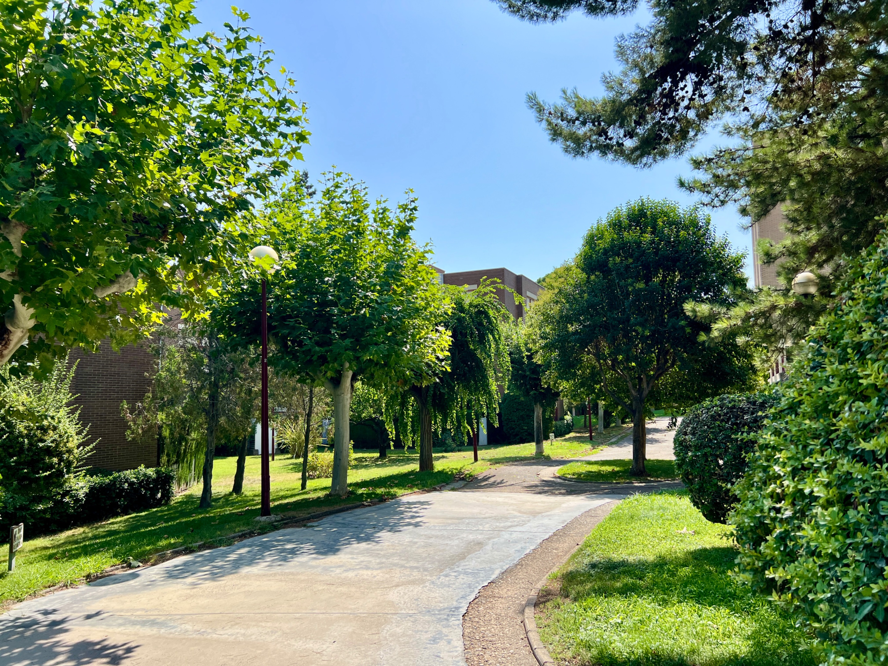
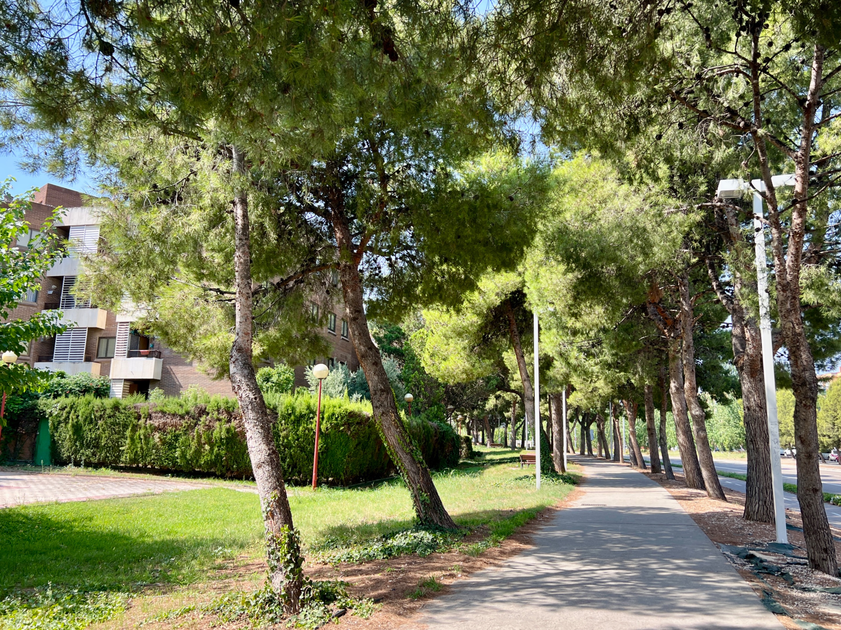
La urbanización está compuesta por numerosos bloques de viviendas. Todos cumplen con la característica de ser de baja altura, con cuatro plantas como máximo. Están rodeadas de vegetación por todas partes, muy bien cuidada en las zonas comunes, por lo que es una delicia para la vista y un sitio perfecto para caminar más fresco a pesar de estar pisando asfalto.
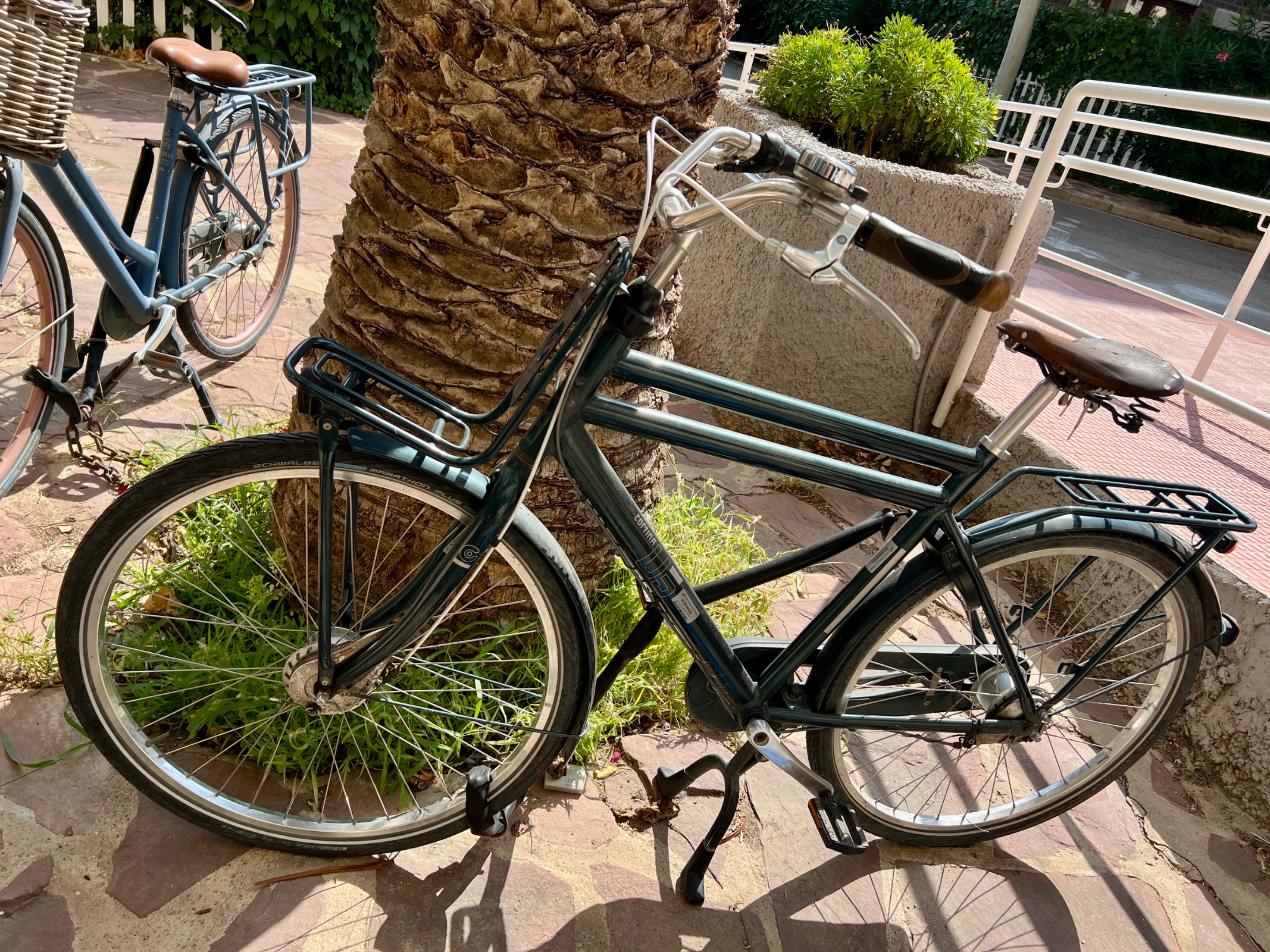
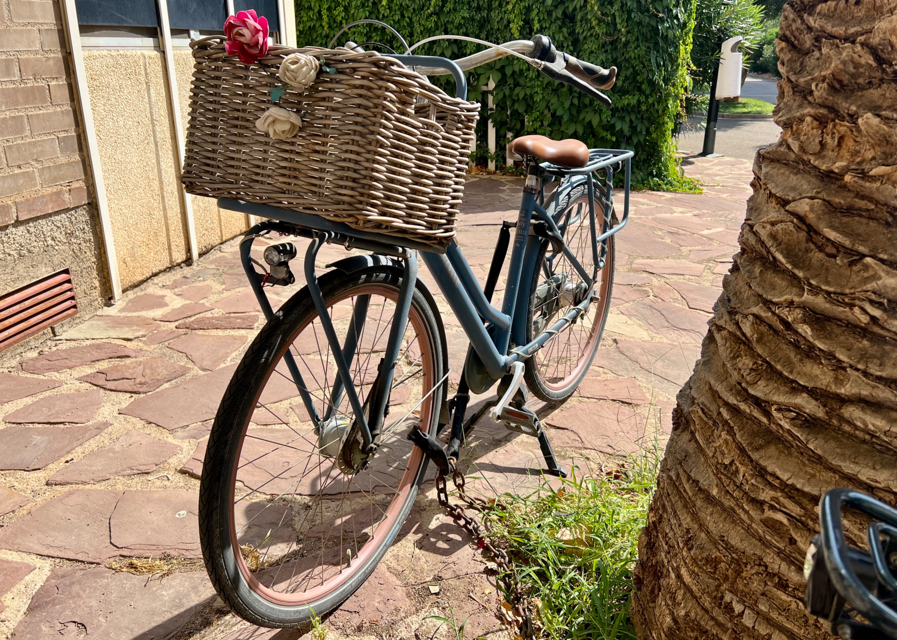
Cuando algo me llama la atención, me detengo a fotografiarlo. Hoy lo hice con este par de bicicletas vintage que están bien conservadas. Siguen en uso, pues no siempre están ahí.
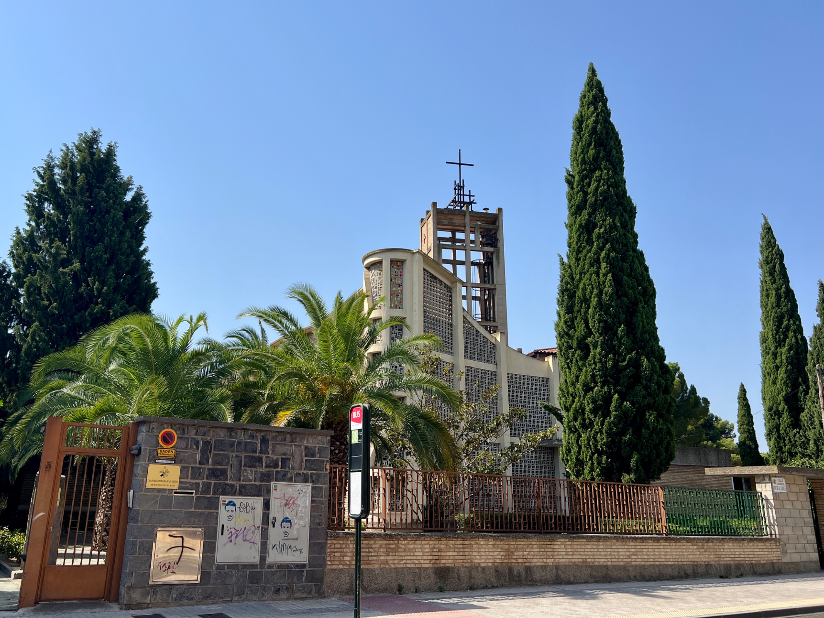
De vez en cuando las calles se abren formando plazas más o menos amplias. Y justo en la otra parte desde donde comenzamos este paseo la aparición del convento de Nuestra Señora de los Ángeles nos indica que ya nos salimos de la urbanización. Aquí suelo girar a la izquierda, bajando la calle del mismo nombre que el convento, y vuelvo a entrar al Parque Hispanidad por alguna calle más abajo para hacer un recorrido más o menos circular.
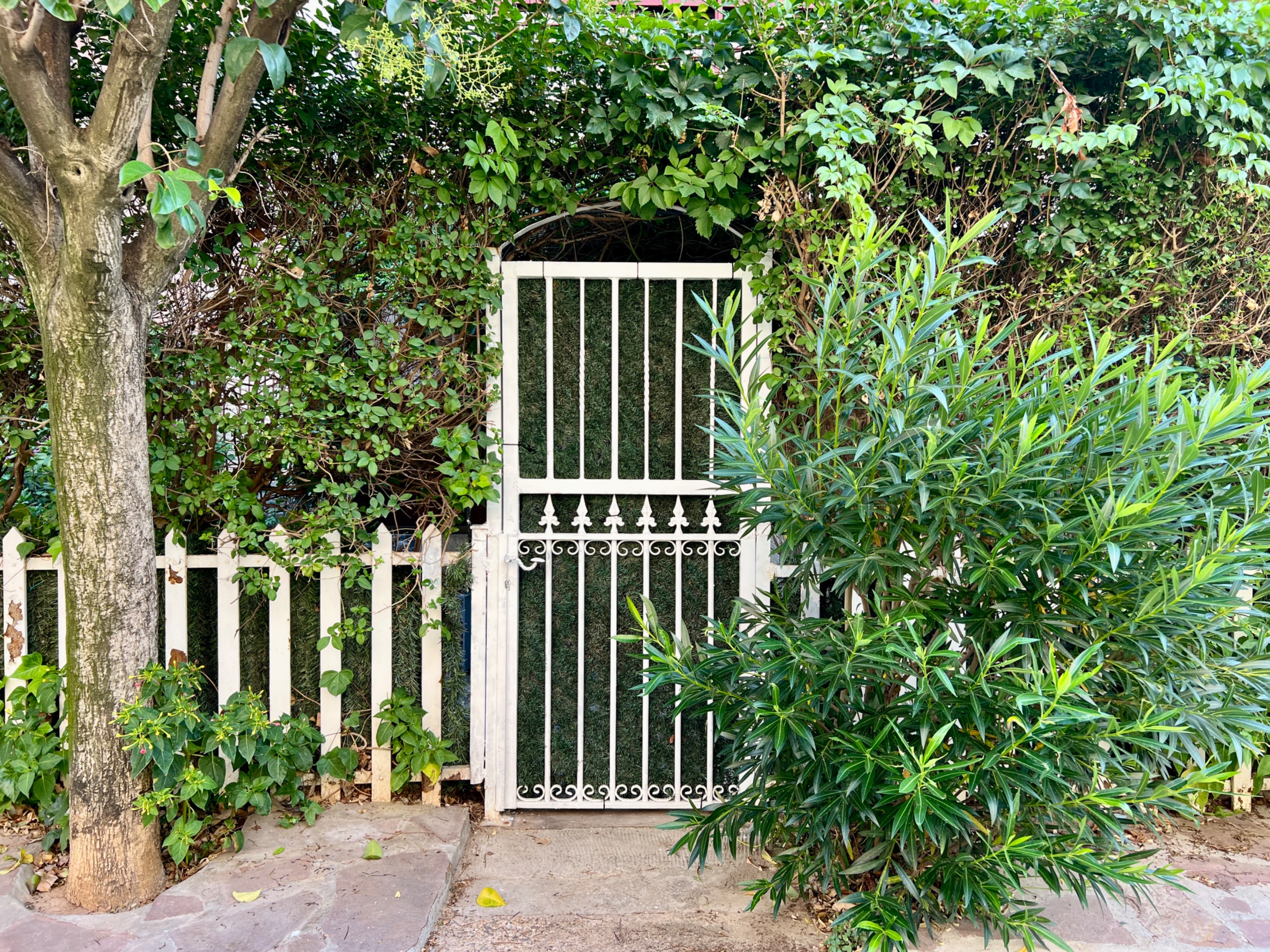
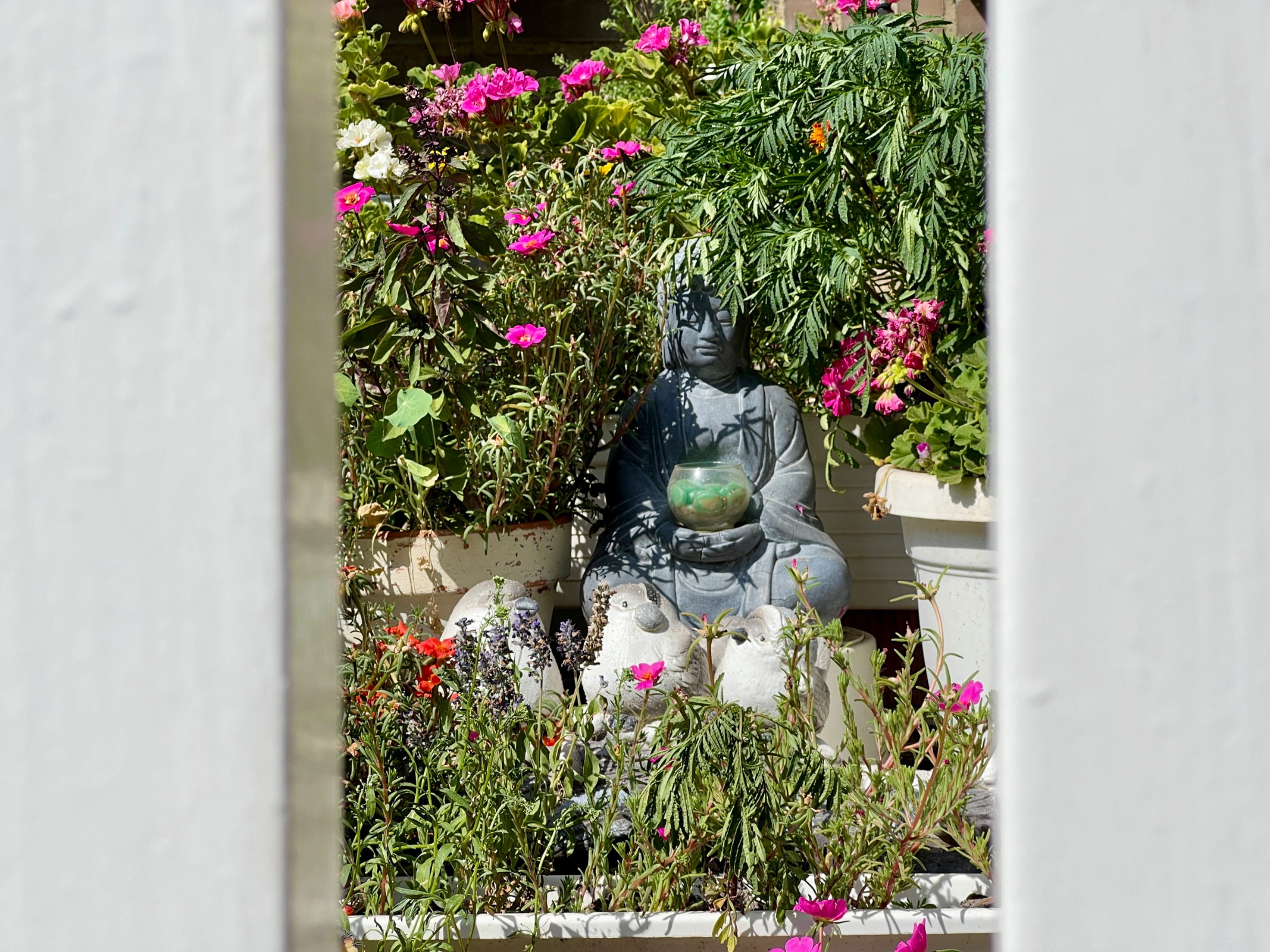
Otro lugar donde suelo pararme es en el jardín presidido por una figura de Buda. Casi todos los jardines de las casas tienen setos o vallas para mantener la privacidad. Me gusta ser respetuosa con eso y no fotografío nada que no esté bien a la vista. No valdría para ganarme la vida como paparazzi, jajaja.
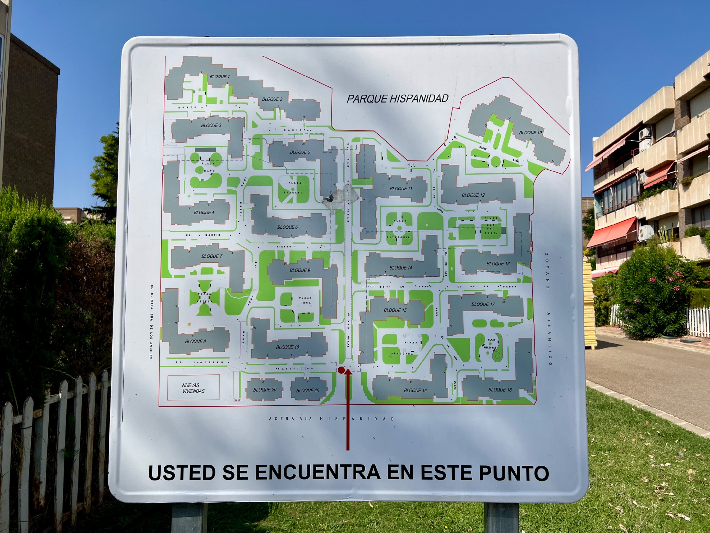
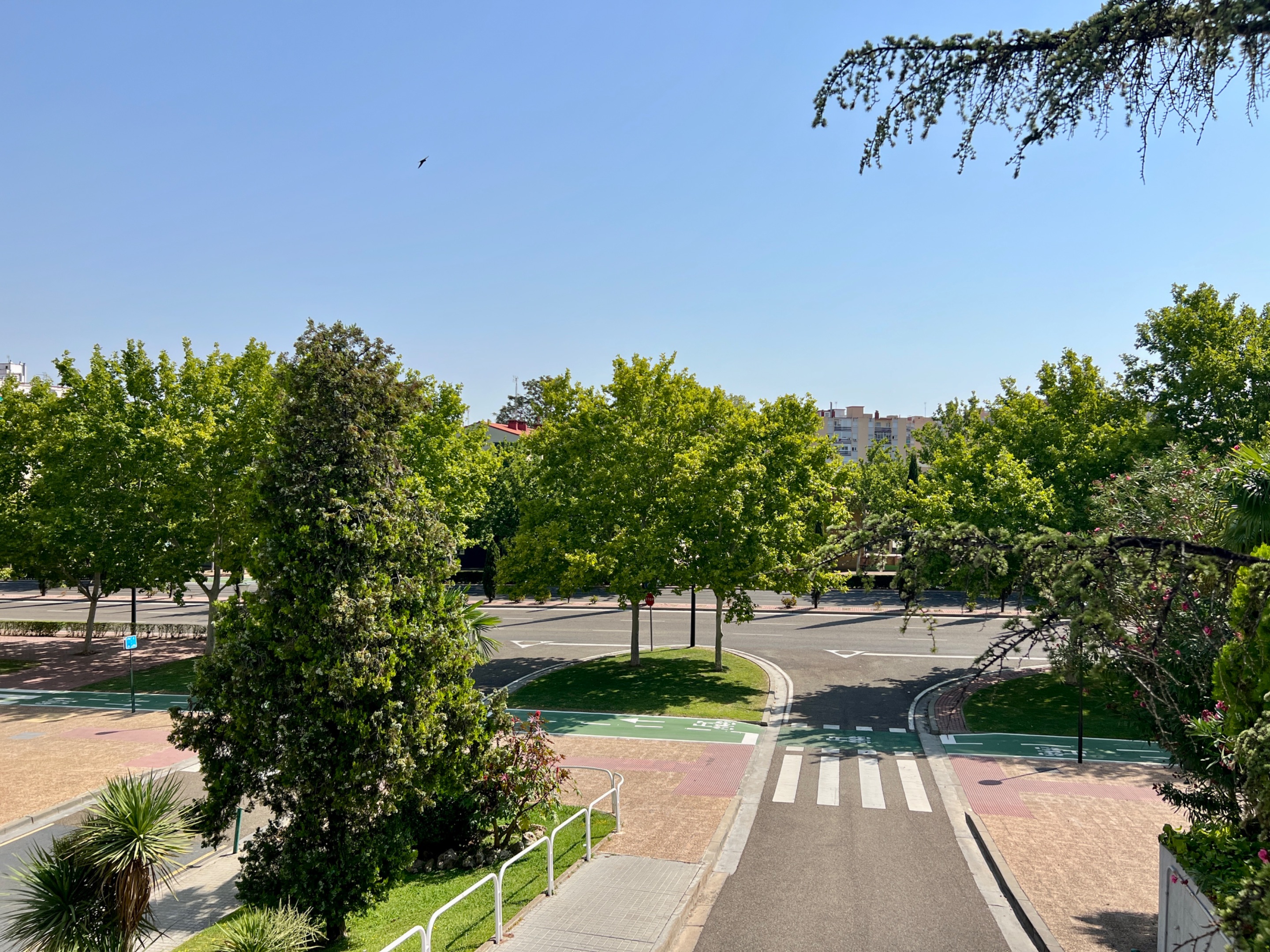
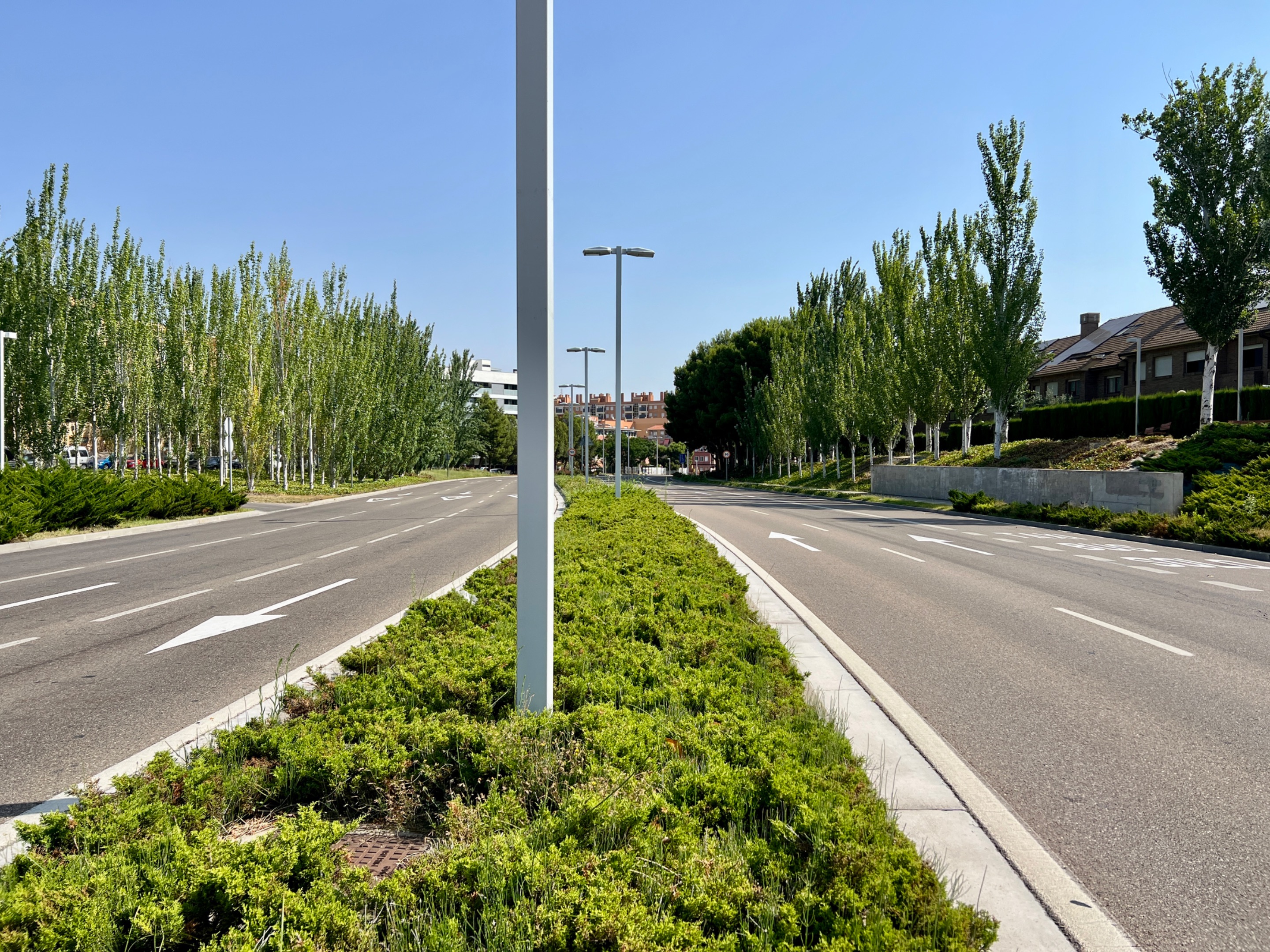
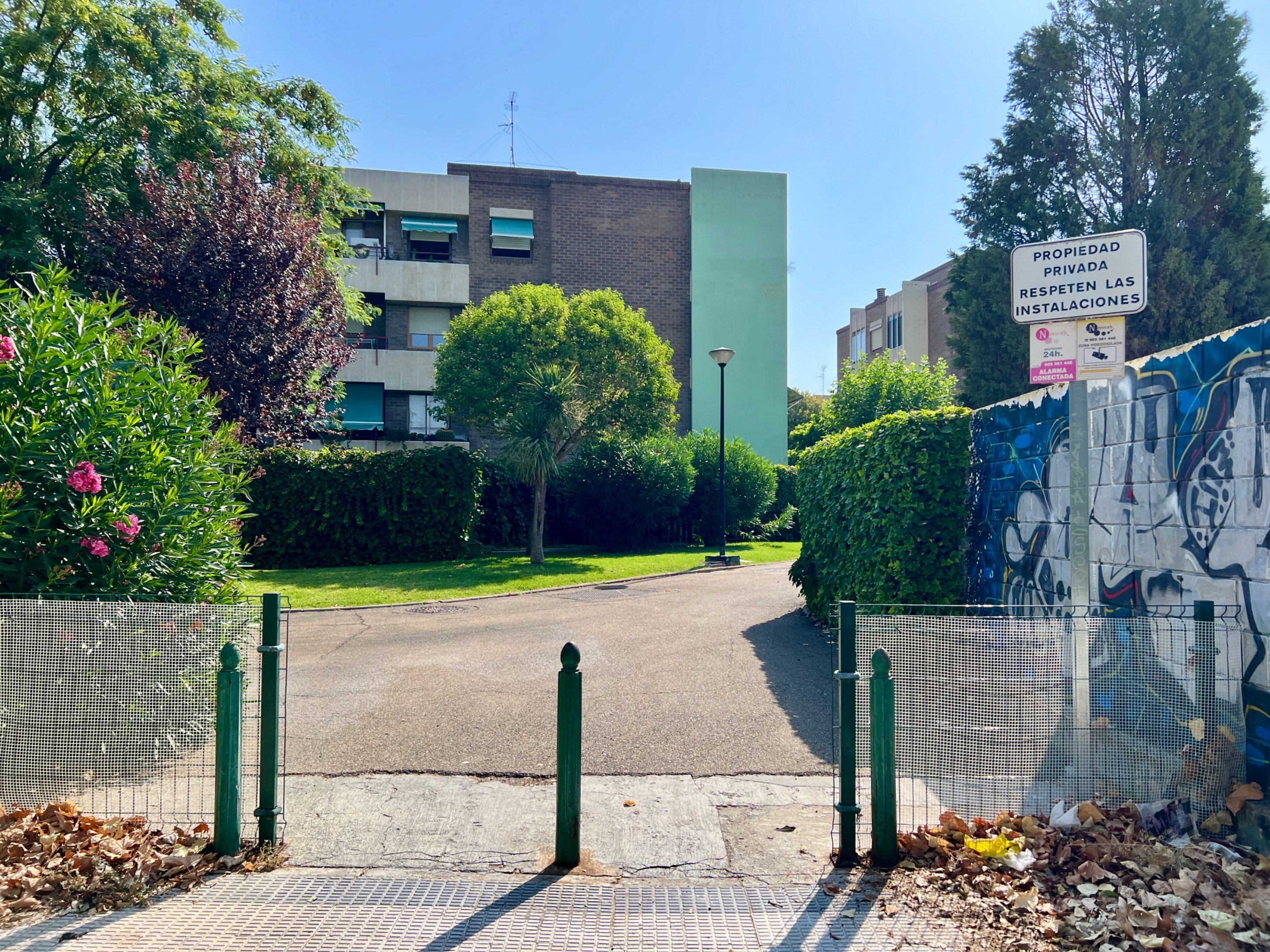
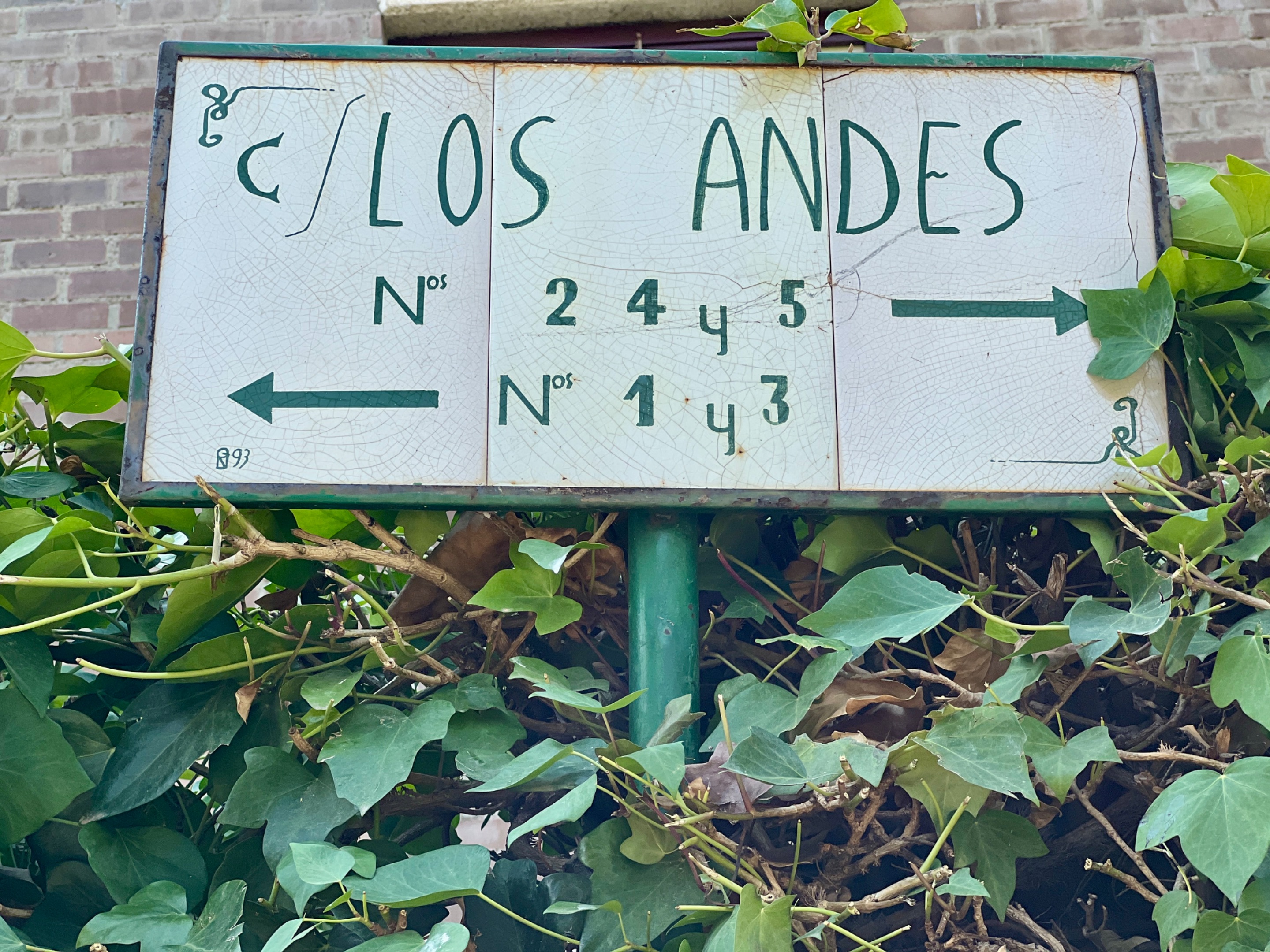
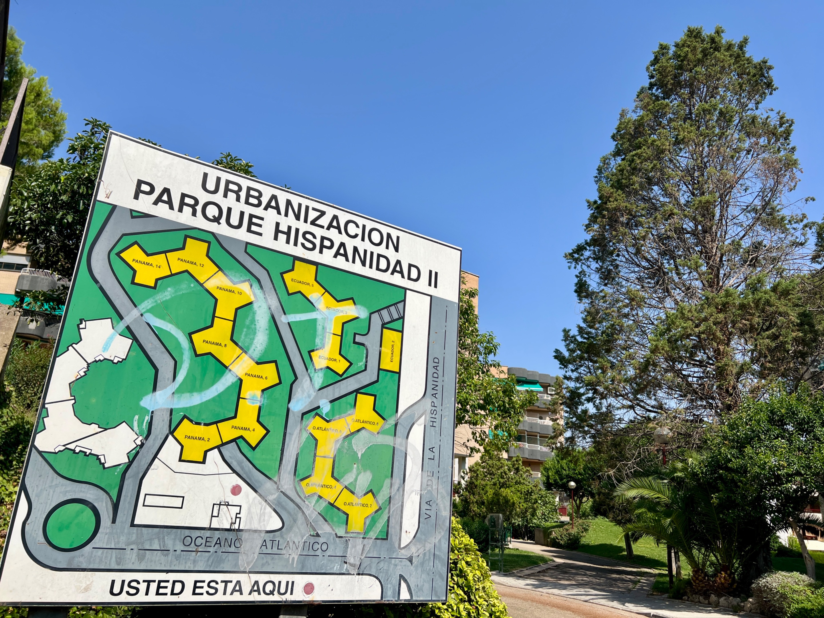
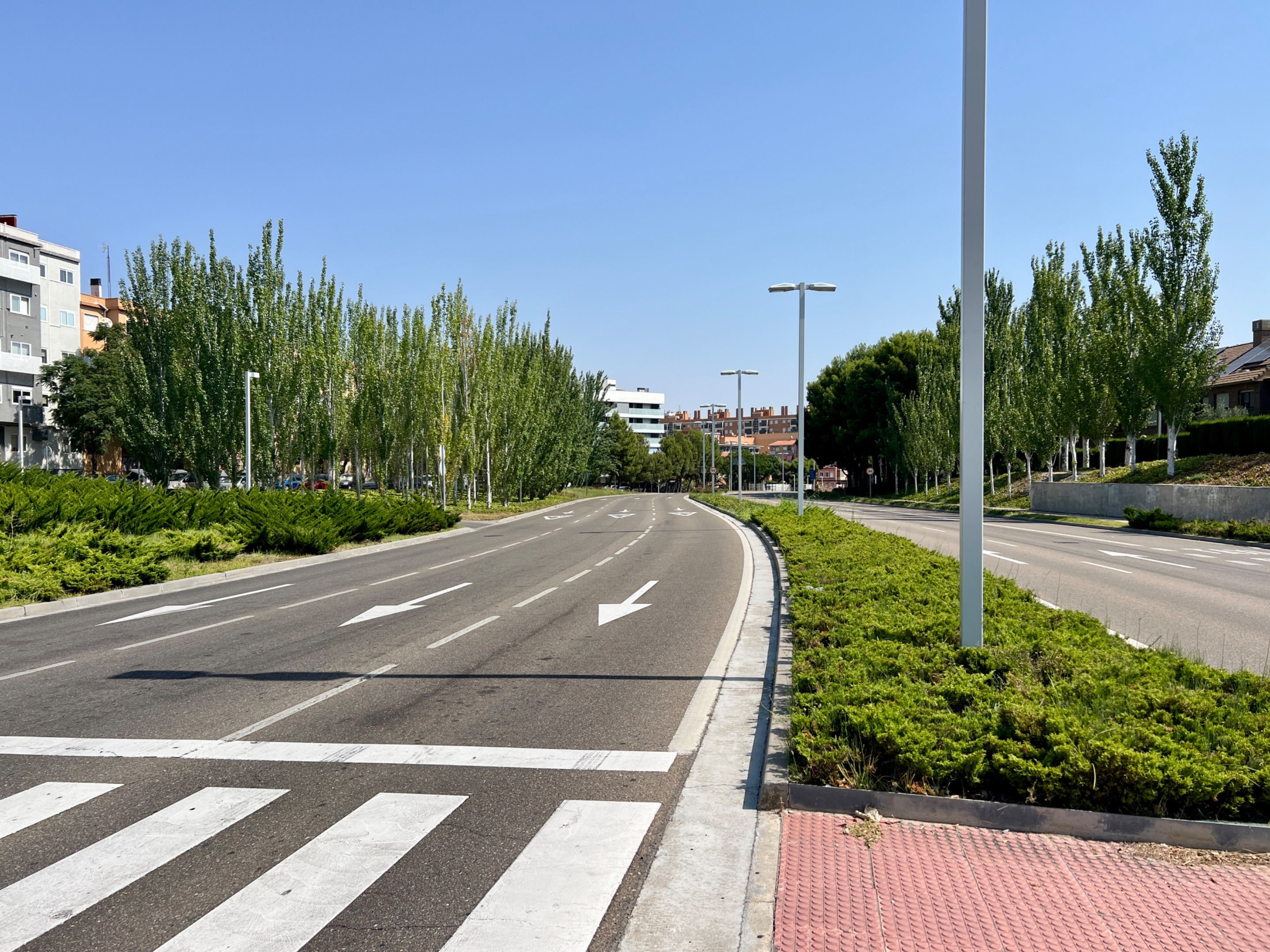
En los accesos principales de la urbanización hay carteles con mapas para orientarse. Los nombres de las calles y plazas están relacionados con lugares o personajes importantes del mundo hispano. También los bloques de viviendas. Si nos damos la vuelta frente a ese cartel se abre una vista hacia la Vía Hispanidad, una gran avenida de la ciudad. Una rampa permite la entrada y salida a la urbanización.
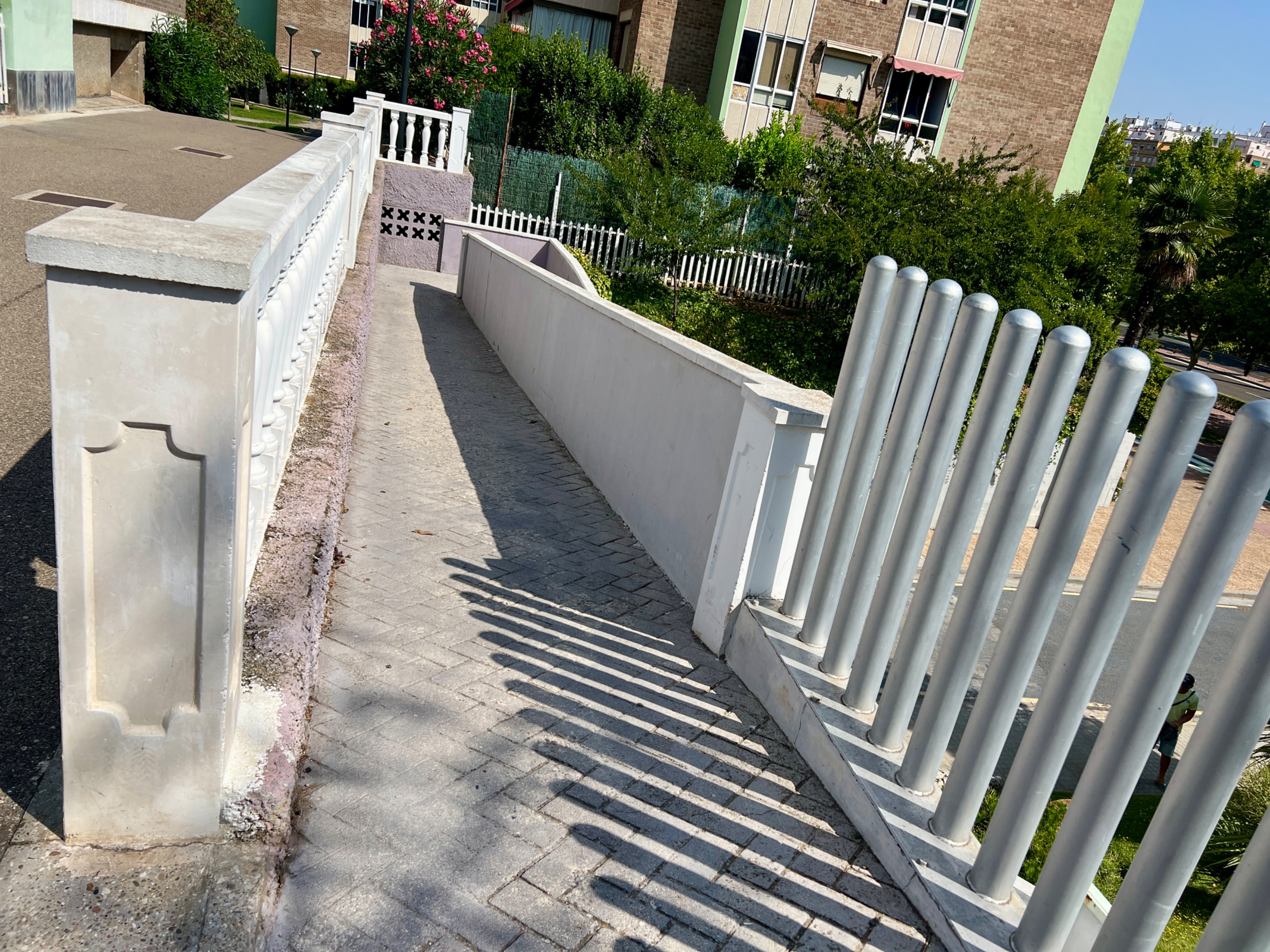
He bajado para darte un par de vistas poco habituales para mí, ya que n suelo bajar nunca por aquí.
No ha sido el único desvío de mi ruta habitual. Siguiendo el cartel que indica la situación de la entrada a uno de los edificios he llegado a otro pequeño mirador sobre la avenida.
En una segunda fase ampliaron la urbanización. El terreno es más irregular y las calles son curvilíneas en contraposición a la rectitud de la primera fase.
Termino de nuevo en la avenida donde vivo, paso una vez más frente al colegio y me cruzo de acera.
Hasta la próxima publicación. Mientras tanto, ¡cuídate!

Herramientas: Cámara iPhone 13 Pro, editor de fotos Mac. Mis publicaciones en Worldmappin pinchando aquí Si te gusta lo que publico, únete a mi Fanbase pinchando aquí

©️Copyright 2025 Paloma Peña Pérez. Todos los derechos reservados.

Hi, dear hiver.
With the arrival of good weather, I am adding a new place to my walks: Hispanidad Park and its adjacent residential area. There are several reasons for this, but the main one is that this area has plenty of shade to protect me from the heat.
I also have access almost in front of my house. I just have to cross the avenue and go through a passageway that runs parallel to the Hispanidad school, which I can see from my windows. It has a beautiful mural that was painted several years ago.
On the other side of the school is Hispanidad Park. It is actually a large square with swings, several sports courts, exercise equipment for seniors, and green areas with benches for resting.
However, the park is only a small part of a large residential area that bears the same name. That's what I'm going to show you. It's what I see every time I take a walk around here.
The development consists of numerous blocks of flats. All of them are low-rise, with a maximum of four floors. They are surrounded by vegetation on all sides, which is very well maintained in the common areas, making it a delight to the eye and a perfect place for a refreshing walk despite being on asphalt.
When something catches my eye, I stop to take a picture of it. Today I did so with this pair of vintage bicycles that are well preserved. They are still in use, as they are not always there.
From time to time, the streets open up into squares of varying sizes. And just on the other side from where we started this walk, the appearance of the convent of Nuestra Señora de los Ángeles indicates that we are now leaving the residential area. Here I usually turn left, going down the street of the same name as the convent, and re-enter Hispanidad Park via another street further down to make a more or less circular route.
IMG_0253.JPG (https://files.peakd.com/file/peakd-hive/palomap3/EoEr1kfN9wESqoWpiH3FuwCSVVg2QLp1Dw6DoJrFz5xM33Mf8nbBr6TagZhp1VctfuS.JPG)
Another place I often stop is the garden presided over by a Buddha statue. Almost all the gardens of the houses have hedges or fences to maintain privacy. I like to be respectful of that and don't photograph anything that isn't clearly visible. I wouldn't be able to make a living as a paparazzi, ha ha ha.
IMG_0257.JPG (https://files.peakd.com/file/peakd-hive/palomap3/Ep3eijyuiZZTHU2KtuwXq6uJxDEehPYDLiYiucZushcdc2WA9ALmgtvdwcMn1wfhJvZ.JPG)
IMG_0266.JPG (https://files.peakd.com/file/peakd-hive/palomap3/EqfFsWzyksTVWrJefNgQwhEUugRXTnQGGMumgyHmQ2LGtZQKhnYDfuRAHNkLH2PG8sD.JPG)
IMG_0263.JPG (https://files.peakd.com/file/peakd-hive/palomap3/Eou9eTip71AxJLZP9nB84kLTxsaRVnV6ar2qr34uf6b8b7bHG41RUtW6D9MGbgBMrdB.JPG)
At the main entrances to the development, there are signs with maps to help you find your way around. The names of the streets and squares are related to important places or figures from the Hispanic world. The same applies to the blocks of flats. If you turn around in front of that sign, you will see Vía Hispanidad, a major avenue in the city. A ramp allows access to and from the development.
IMG_0260.JPG (https://files.peakd.com/file/peakd-hive/palomap3/EpVAdyrjjT19JAiK2gYbmSv6hsS1zhwp3RtUqj3HWW9oLZLuGfMAeCtQz7pHgWkLDzQ.JPG)
IMG_0261.JPG (https://files.peakd.com/file/peakd-hive/palomap3/EokdA3GcGAcxGF1ApLmjxfQ6uw9YSN1ueiudyugmWM13AoxYE938memRhSaEZdbhyqL.JPG)
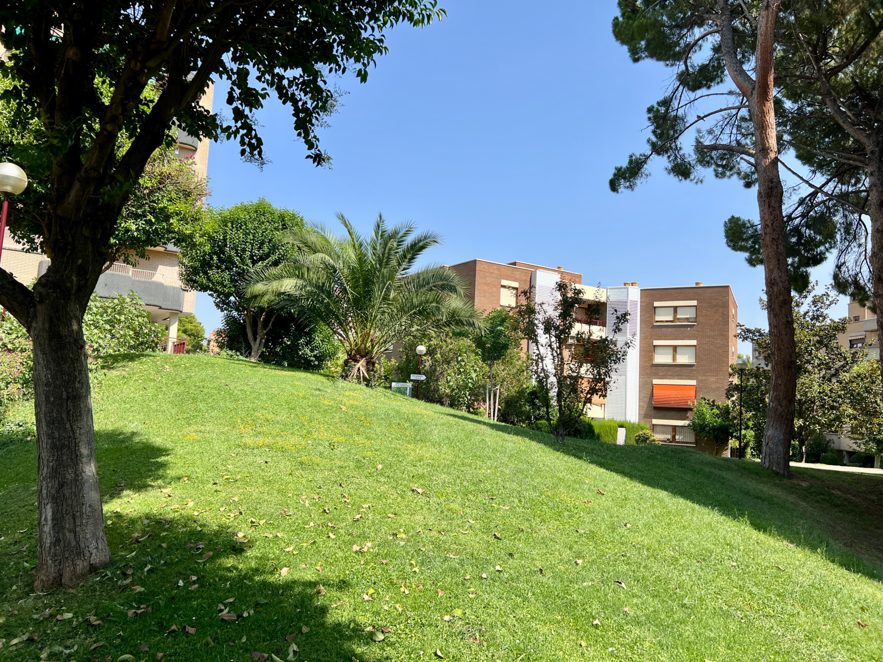
I came down to give you a couple of views that are unusual for me, as I never usually come down here.
IMG_0267.JPG (https://files.peakd.com/file/peakd-hive/palomap3/Eq9TnJTCdf544MJvjZ4SSpmMBatEhT4iHdmERNNiu3HaG6FVnqynauFMMcPutUBvjDF.JPG)
IMG_0269.JPG (https://files.peakd.com/file/peakd-hive/palomap3/Eptb3JbU31bCa1dQW954aao5qfEHYE7BCP9KCJfyTeMLWeeDDp3RBezPbYi1VhbhwYy.JPG)
IMG_0268.JPG (https://files.peakd.com/file/peakd-hive/palomap3/Eq5E2BR9QoEw4NBG85rCU5oHHe6YHnek7fi8dHywDYpRgRHerwgJbYxgLbYdjvoYy5L.JPG)
This wasn't the only detour from my usual route. Following the sign indicating the location of the entrance to one of the buildings, I came to another small viewpoint overlooking the avenue.
IMG_0274.JPG (https://files.peakd.com/file/peakd-hive/palomap3/EpT3JpZvubt3Gyk3N8mVJSFD1faMMryXWZTMoysV2JKrSa1qAc9zJiNjKju1Pw1vnBR.JPG)
IMG_0281.JPG (https://files.peakd.com/file/peakd-hive/palomap3/EpXJ5utKo6wifMrgYnCYSxdjMJn5ovzsnCoVpSzP388ppDmMHnT2oGkcQ7hZP42MVfV.JPG)
IMG_0284.JPG (https://files.peakd.com/file/peakd-hive/palomap3/EpJXhpbp62DKxLYN4Ppr2K5TbG7CgTuFDUzrexwZXA3HrixSjDeX2aZnwUqWuTtmHAY.JPG)
In a second phase, the development was expanded. The terrain is more irregular and the streets are curved, in contrast to the straight lines of the first phase.
IMG_0287.JPG (https://files.peakd.com/file/peakd-hive/palomap3/23u657aNhqvAWHpnHYzmGHJPzWLQuiujfVbJy1HaRsaSzFzbi163Q6yyC94UzFvGvyk39.JPG)
IMG_0288.JPG (https://files.peakd.com/file/peakd-hive/palomap3/EpVA8hxBZ61aq7PdJZjvfzpnWdtUDGceyLYRHnwHGFPu3CRWBbqVrMEbXporowCfCBv.JPG)
IMG_0290.JPG (https://files.peakd.com/file/peakd-hive/palomap3/Eq5DvCbUTJaopeanKpABa9nELieaUXpSqGdWQpHnmFGm6u3Ubd5ny4z6TM52eZVzRMJ.JPG)
I end up back on the avenue where I live, pass the school once again and cross the street.
Until the next post. In the meantime, take care!
Tools: iPhone 13 Pro camera, Mac photo editor. Translated with DeepL My publications in Worldmappin by clicking here If you like my content, join my Fanbase clicking here
Banner Hive en.png (https://files.peakd.com/file/peakd-hive/palomap3/23xViMXFCwRjZjygkV5W9JDqJrHym3tXbPu55BxYeXUpUR8pZatSuqGauDr86fUBcvKn1.png)
©️Copyright 2025 Paloma Peña Pérez. All rights reserved.