We all experience times in our lives which stand out to us, in our memories. Is this particularly true for those events which are long-planned and eagerly anticipated? It is for me. And this post covers one of them I will never forget.
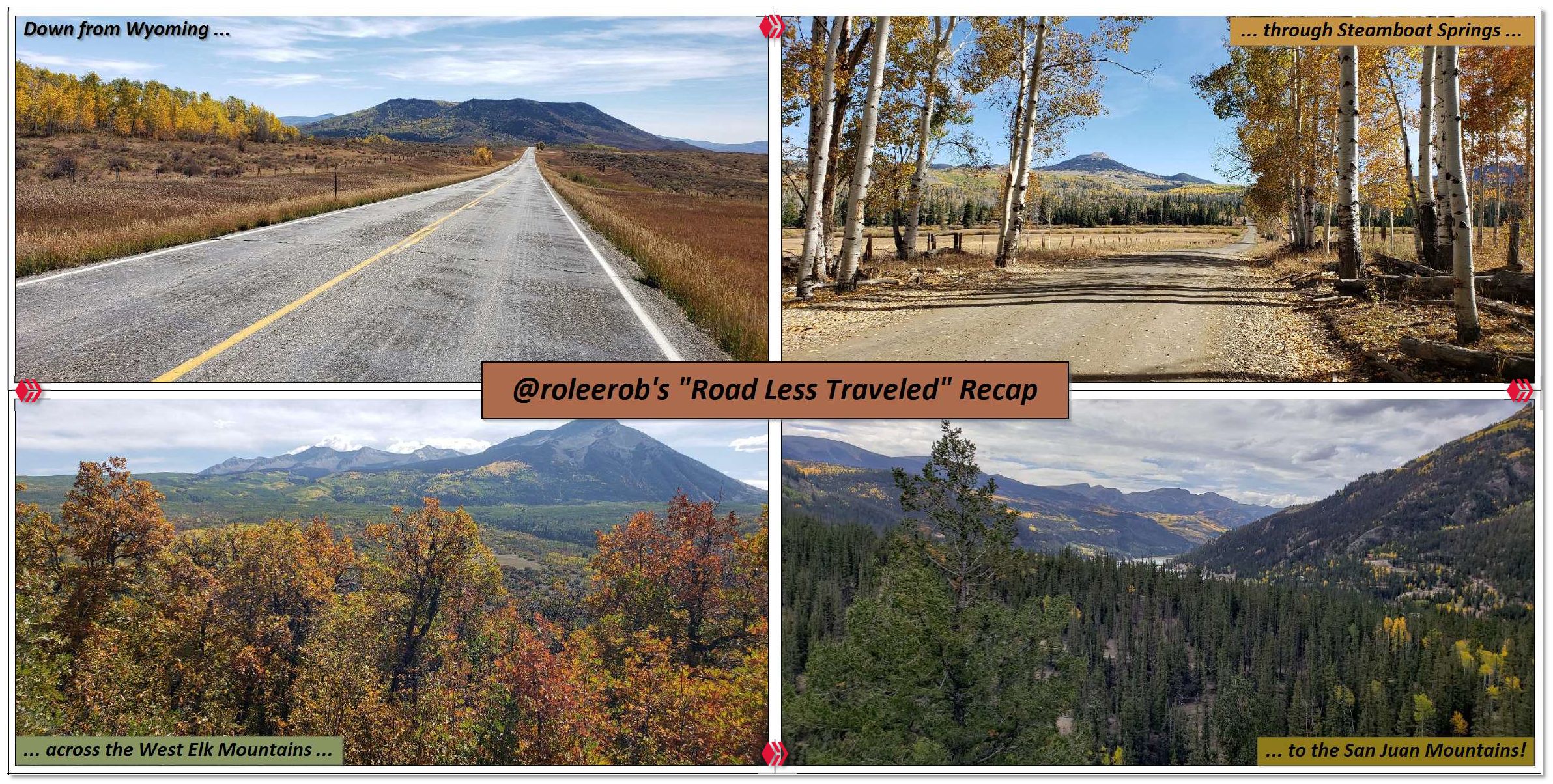
Lead Photo: Highlight compilation from RLT Series
(Click on any image in this post, in PeakD, for anOver the course of 4 days, I experienced some wonderfully diverse views of the great American West, by traveling down some "roads less traveled." During the magical time of the year when the aspen belt turns all shades of yellow, orange, and red.
This is a summary review of the eight different posts I published about this experience.
________________________
Before taking a closer look, I painstakingly recreated a map for each segment of this trip, since Google does not make it possible (😒) to have it all on one map. Done in the event someone reading this thinks they might like to recreate some or all of it:
| Map Thumbnail | Map Link & Route Summary |
|---|---|
|
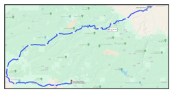
Map for Day 1, RLT #1 & #2
53.3 miles - Spirit West River Lodge to Three Forks Ranch. Crossed the Continental Divide via the Battle Pass Scenic Byway on WY 70. Down from Wyoming into Colorado, turned on CO 129 and followed this gravel road, along the Little Snake River, to Three Forks Ranch. |
|
Map for Day 1, RLT #3
46.2 miles - Three Forks Ranch to Steamboat Springs. Followed CO 129 on a gravel road up through the aspen belt under Hahn's Peak, over the ridge summit, and down into Steamboat Springs. Along the way, took detours to see Pearl Lake State Park, the country to the west (on the backside) of Steamboat Lake, and up the canyon along the Elk River a bit. |
|
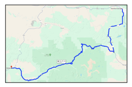
Map for Day 2, RLT #4
113 miles - Steamboat Springs to Meeker. Followed CO 131 to Yampa, then turned off onto RCR17, a gravel road, to follow the Flat Tops Trail Scenic Byway across two mountain passes, then down into the upper White River valley to Meeker. Took a detour to Trappers Lake. |
|
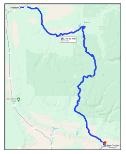
Map for Day 3, RLT #5
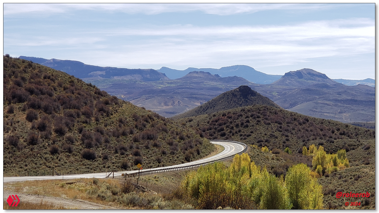
63.6 miles - Meeker to New Castle. Retraced previous day's route back to Buford. Turned South on the Buford - New Castle Road and crossed the 10,118 ft (3,084 m) summit at Triangle Park, then descended steeply down into New Castle. Took detour to Deep Lake, on the southeastern corner of the Flat Top Wilderness. Included seeing Glenwood Canyon and the marvel of the engineering on its highway again. |
|
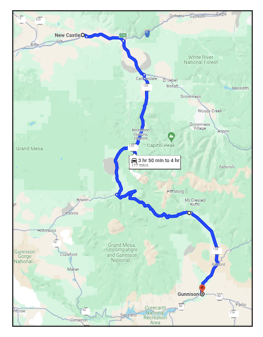
Map for Day 3, RLT #6
127 miles - New Castle to Gunnison. Followed CO 133 along the Crystal River, then up over the 8,755 ft (2,671 m) McClure Pass, down to the foot of the dam at Paonia Reservoir. Turned east to follow the West Elks Scenic Byway up over the 10,007 ft (3,050 m) Kebler Pass, down into Crested Butte. From there, followed CO 135 down along the upper reaches of the Gunnison River into Gunnison. |
|
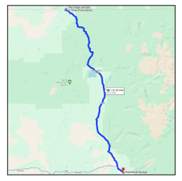
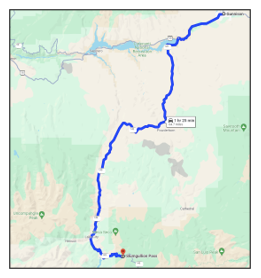
Map for Day 4, RLT #7
64.7 miles - Gunnison to Slumgullion Pass. Followed U. S. Highway 50 down to the upper reaches of the Blue Mesa Reservoir. Then turned south on CO 149 on the Silver Thread Scenic Byway, up through Lake City, to the summit of 11,530 ft (3,514 m) Slumgullion Pass. Took detour to see Lake San Cristobal, then higher up in the basin to the beginning of Alpine Loop. |
|
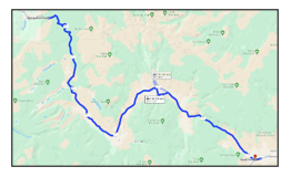
Map for Day 4, RLT #8
62.5 miles - Slumgullion Pass to South Fork. Followed CO 149, on the Silver Thread Scenic Byway, down pass Bristol Head, into the upper reaches of the Rio Grande river valley, all the way down into South Fork. |
"As the crow flies" (yeah, right ... 😂) 530 miles in 4 days. This does not include the mileage for the various detours cited, let alone the time to stop frequently and soak it all in. In hindsight, 4 days was not enough!
Given the opportunity to recreate this trip, Day 1 and 2 were okay. Especially given there really isn't any place to stop in between, unless you come prepared to set up camp in the Great Outdoors.
I would split up Days 3 and 4, though. I would spend more time in the Triangle Park area, with a 4-WD, with the evening in Carbondale. On Day 5, I would leave Gunnison and spend more time in the area of Lake San Cristobal and the Alpine Loop, with the evening in Lake City. In other words, my days would more closely align with how these posts were broken out! 😉
We'll see if that opportunity ever comes my way ...
________________________
Let's get on with our recap! 😎

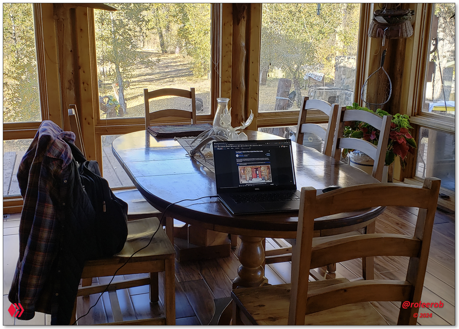
RLT Begins - "Fond Memories: Return to Spirit West River Lodge"
A remarkable place. Built by remarkable people. Writing about it resulted in some of my highest rewarded posts, including "Daily Top Payout" on Hive.

Lead Photos: Image from my original post, with the story of my discovery of Spirit West River Lodge, at the height of COVID ...
View down into the Enterprise River Valley, where Spirit West is found along its banks.
Along the Enterprise River, downstream from the Lodge.
________________________
Limiting this "index" post to 4 pictures from each individual post doesn't do justice to this one, but ... Hopefully, this whets your appetite to at least open it and glance through it ...
If you chose to read this post, please don't miss
my tributeto Lynn
Finney, in the top comment.
It is from this wonderful "base of operations" that I set out on my RLT ("Road Less Traveled") route south all the way down into southern Colorado and the beginnings of the famous Rio Grande!
RLT #1 - "Battle Pass Scenic Byway"
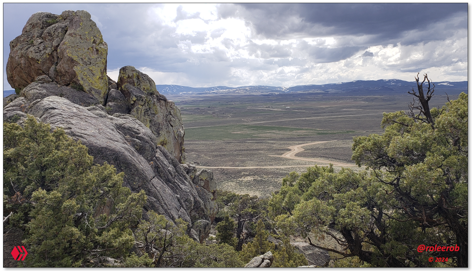
Crossed Battle Pass in the Sierra Madre mountains of southeastern Wyoming (not California), on the Battle Pass Scenic Byway. Going down a stretch of highway, while at least paved, that was one of the most remote on which I have ever traveled.
View looking west, from Battle Pass / Continental Divide, to one of the most remote regions of the great American West.
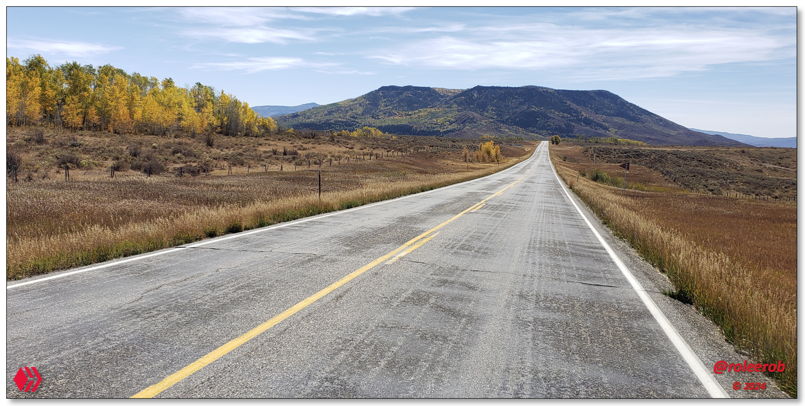
Lead Photo: A remote section of Wyoming State Highway 70, on the west side of Battle Pass
Very hard folks out here are ranchers and mostly descendants of the original homesteaders of the late 1800s
Final descent down into the Little Snake River valley
________________________
As I often write about, there is the "road less traveled" (RLT 😉). And then ... There is this road! Note the lack of anyone on the road in the lead image. How long did I have to wait to take that picture?
What would be your first guess?
RLT #2 - "Magnificent Three Forks Ranch and Little Snake River"
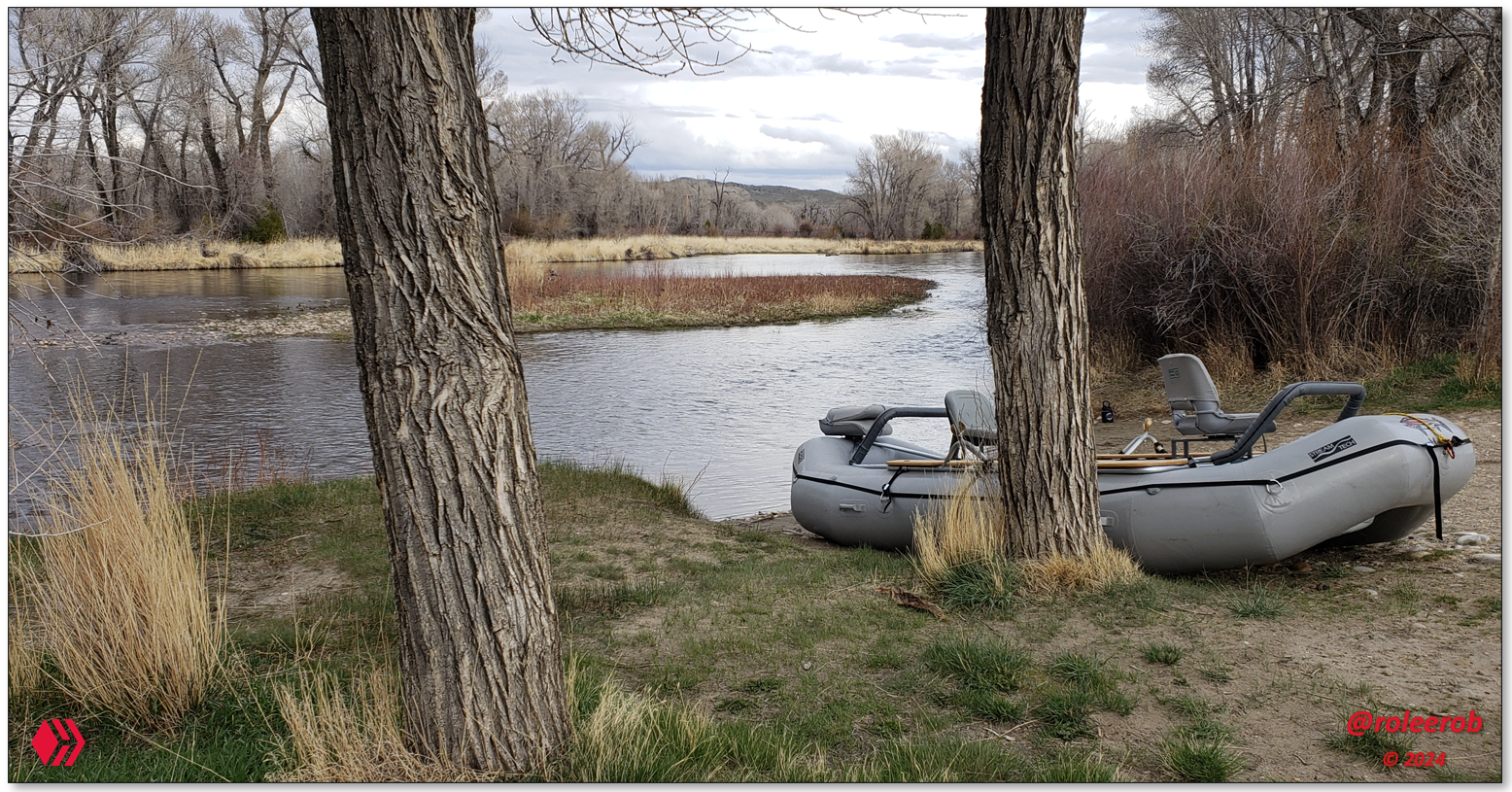
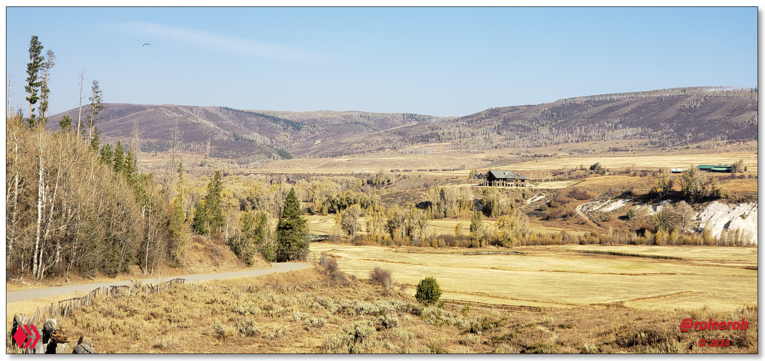
Thinking I was going back in time for my trip through old homestead ranch country along this very remote river valley, I was amazed to stumble on the magnificent Three Forks Ranch!
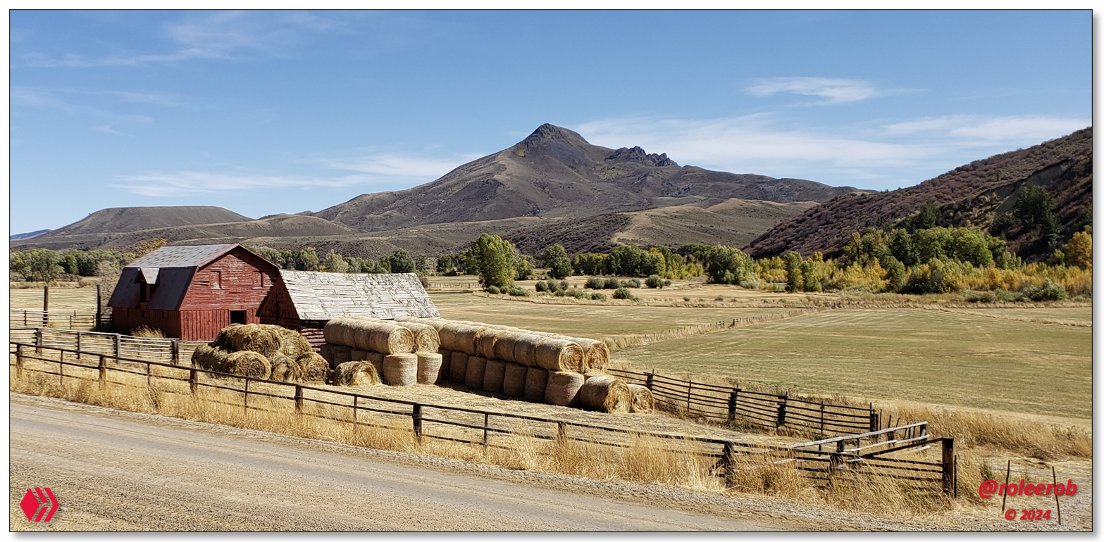

Lead photos: Ranching on the Little Snake River of northern Colorado
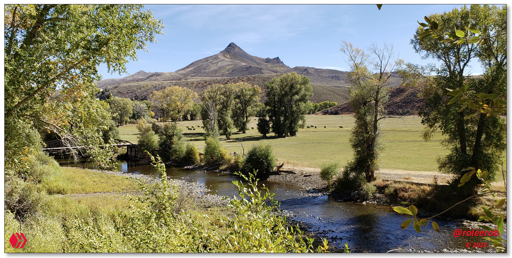
Love little bridges like this one! Cattle living the good life!
View of Three Forks Ranch looking northwest, when coming down the mountainside from Hahn's Peak
________________________
For this old "road warrior," days spent driving through country like this pictured above is very hard to beat. I was very grateful to have had the opportunity to experience it. I hope to return to it again some day!
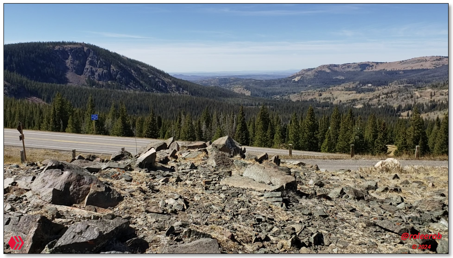
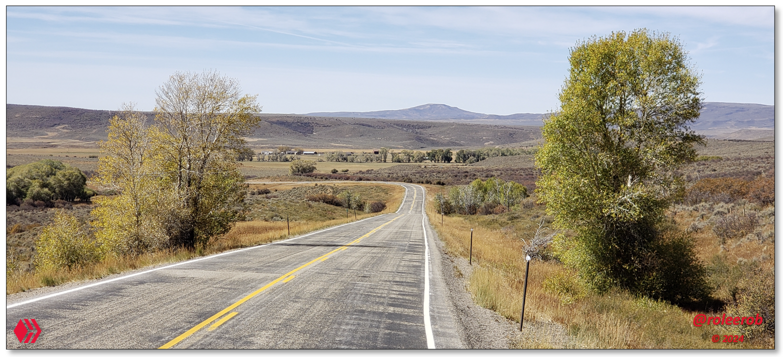
RLT #3 - "Backdoor to Steamboat Springs in Colorado"
Steamboat Springs is a popular destination in Colorado. How do you get there? On U. S. Highway 40, of course ... No, no, no ...
That is not the RLT way! We came in from the North. Down from Wyoming! 🤠
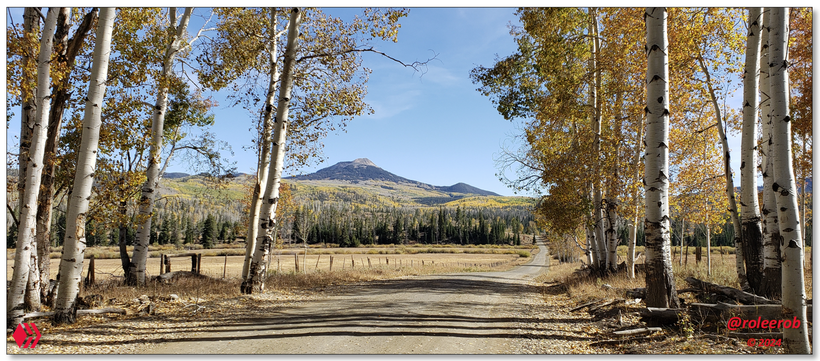
Lead Photo: Driving through the aspen belt towards Hahns Peak, north of Steamboat Springs, Colorado
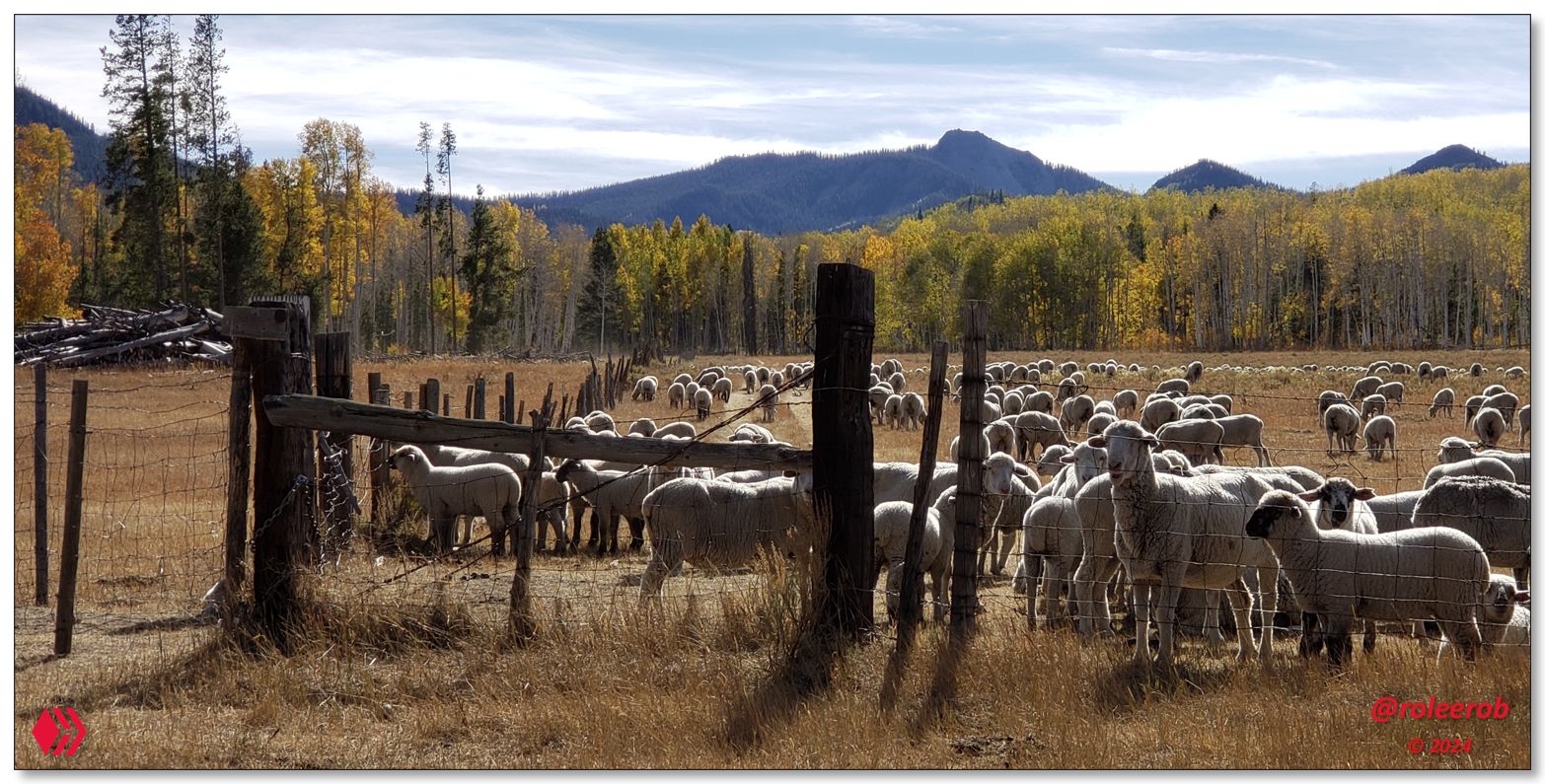
Sheep, as well as cattle, graze this country. Separately ... They do not "play well together!"
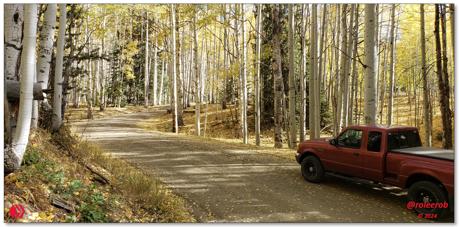
A glorious day in the Aspen Belt!
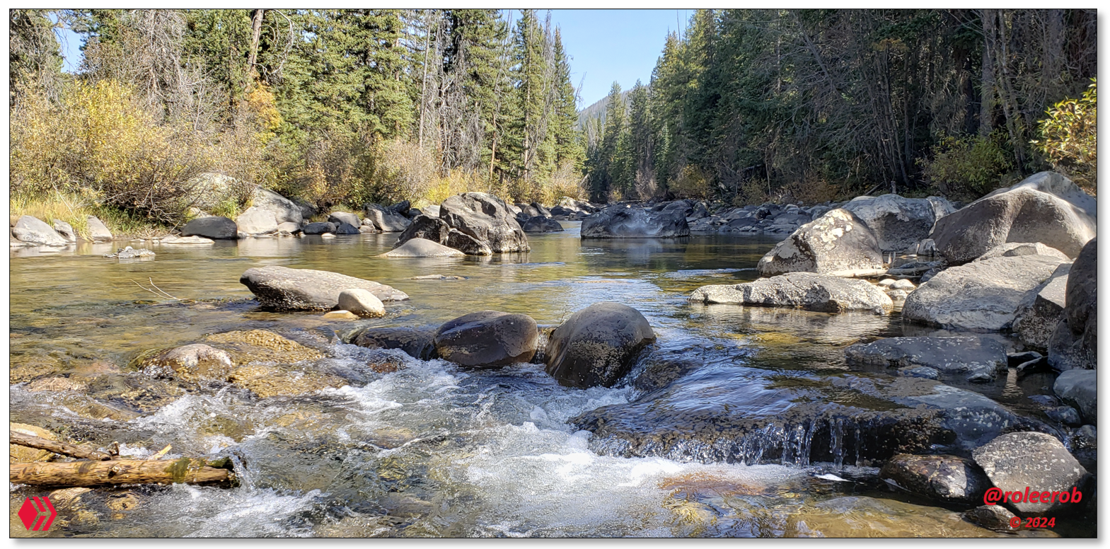
South Fork of the Elk River. Very little more soothing to the soul of this man
than the sight and sound of a clear running mountain stream
________________________
Passing through this country, one could see there was so much high country above what you see here, with all this water coming down from the western slope of the Mt. Zirkel Wilderness.
I would like to come back someday, with a good 4-WD vehicle, and explore all through up in there!