Last weekend when I spent most of the time outdoors. Our last adventure of the weekend brought me and my girlfriend to the trail which goes around the scenic lake in North Kõrvemaa state forst. The lake is named Paukjärv and is located in central-north Estonia.
Piece of knowledge I have gotten that the lake got it's name when someone in history shot with a rifle and made a loud bang... The name Paukjärv, directly translated from estonian is Banglake. The trail itself is pretty short, a little over 1km but is quite rugged and surrounded by steep cliffs 25 meters high in places and a thick forest.
I have seen this lake several times from a watchtower, but never actually hiked around it, so it sure was interesting for me to finally do that.
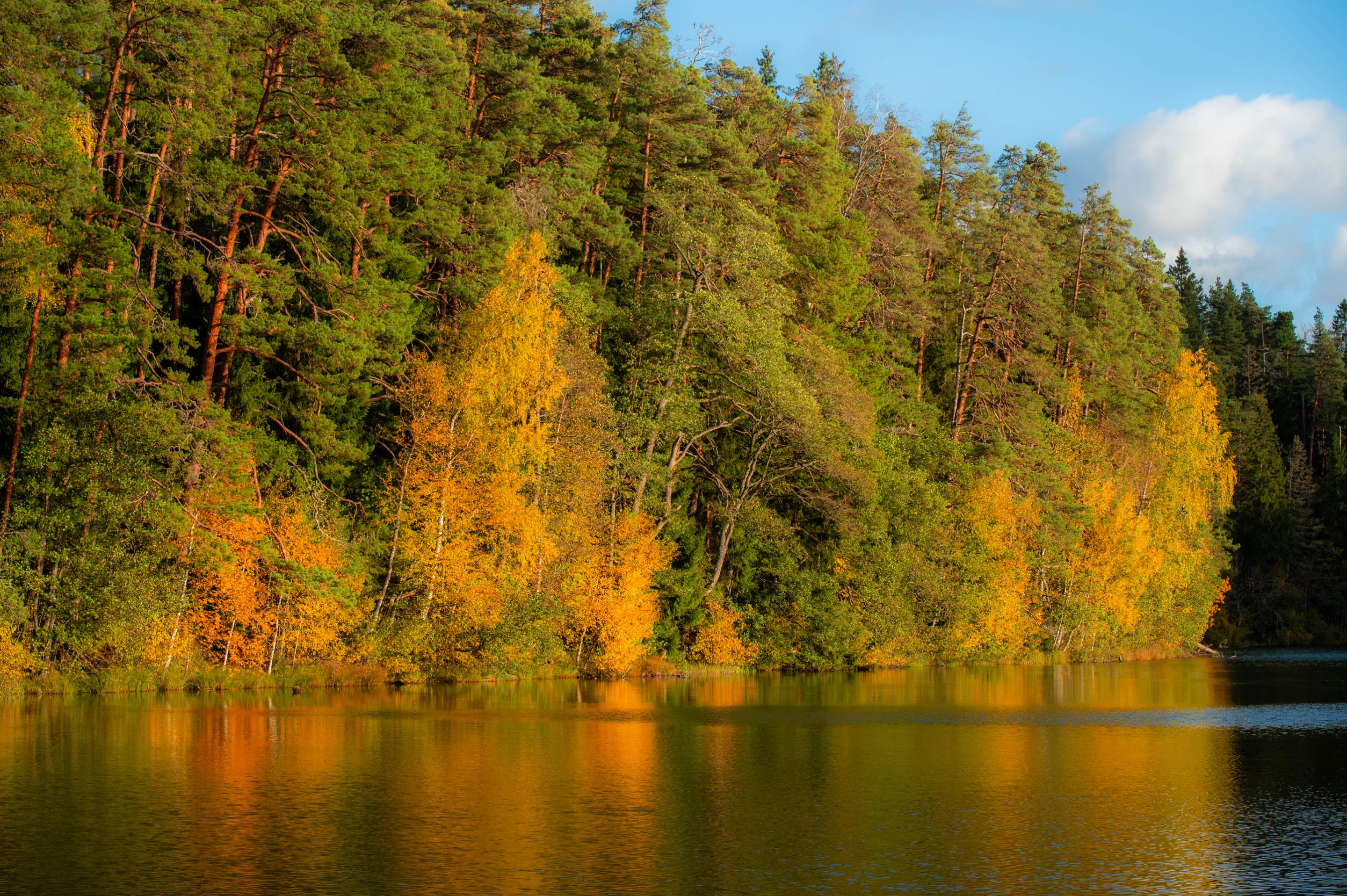
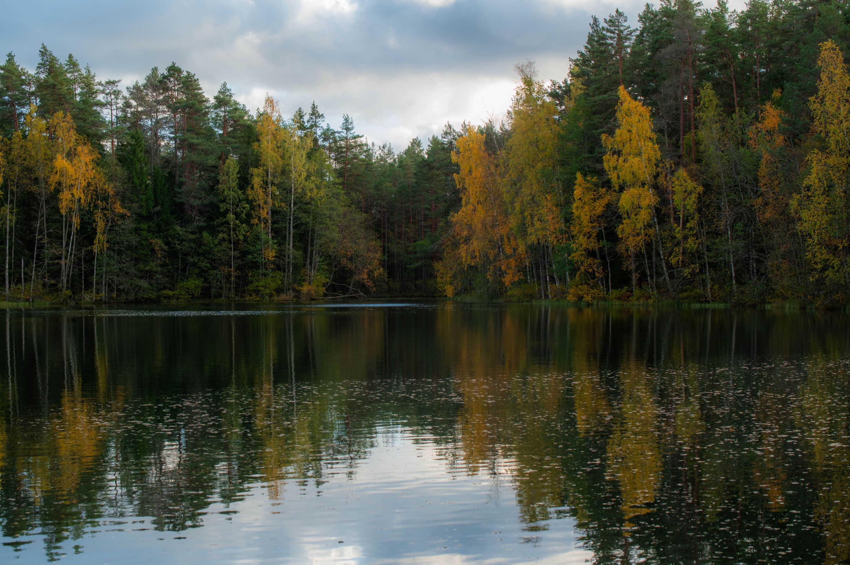
The weather was perfect. Mostly clear sky and sunshine which beautifully brings out the fall colors around the lake, so I can get some nice shots done.
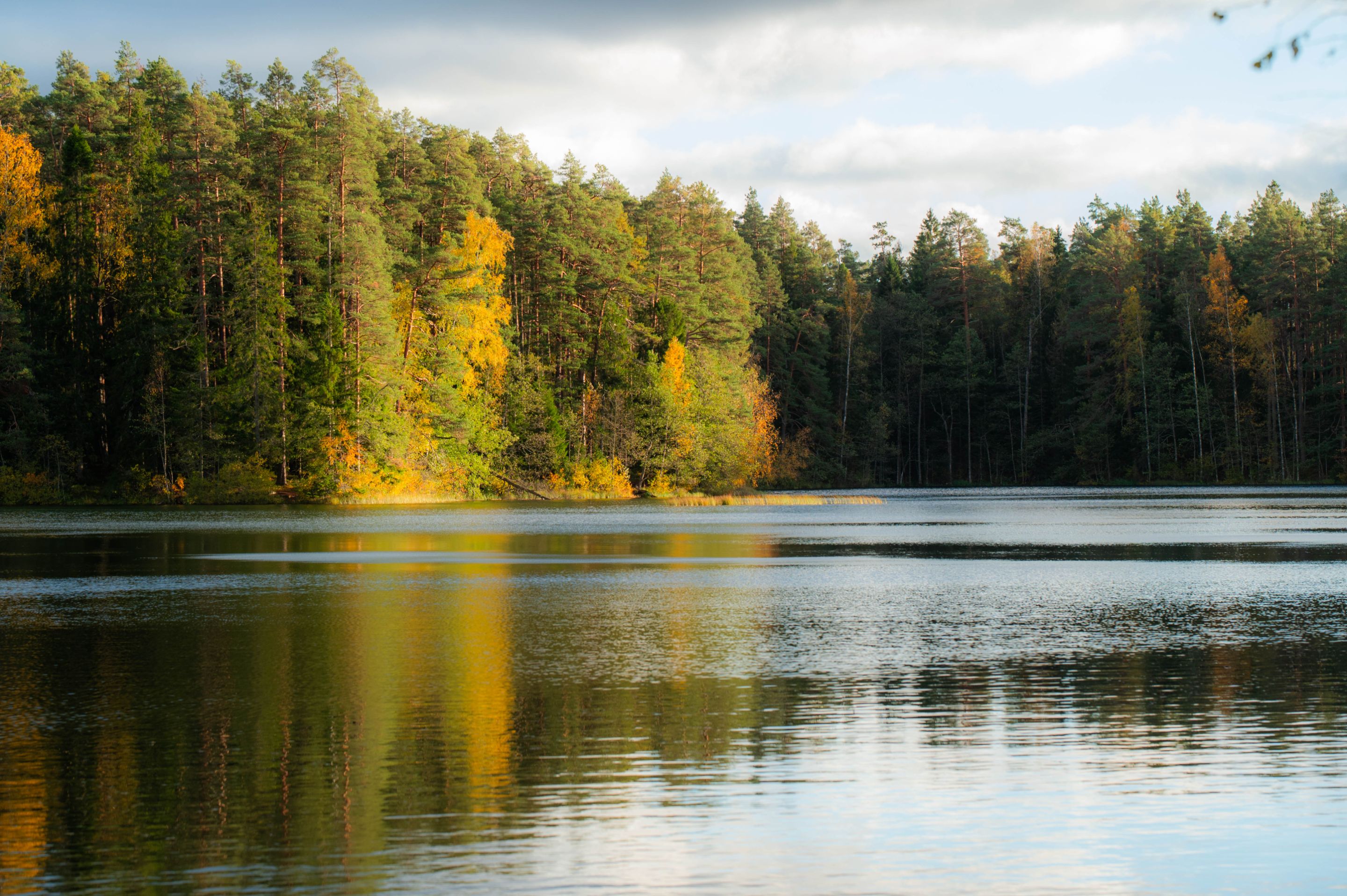
It's one of the cleanest lakes in Estonia and you can drink it without any worry. It's low in nutrients. Some fish call this lake home, but there aren't many plant life, only a few tough species can be found. The water is light green and very clear. In fact, you can see 6 meters into the depth. The lake itself is 11 meters deep at it's most.
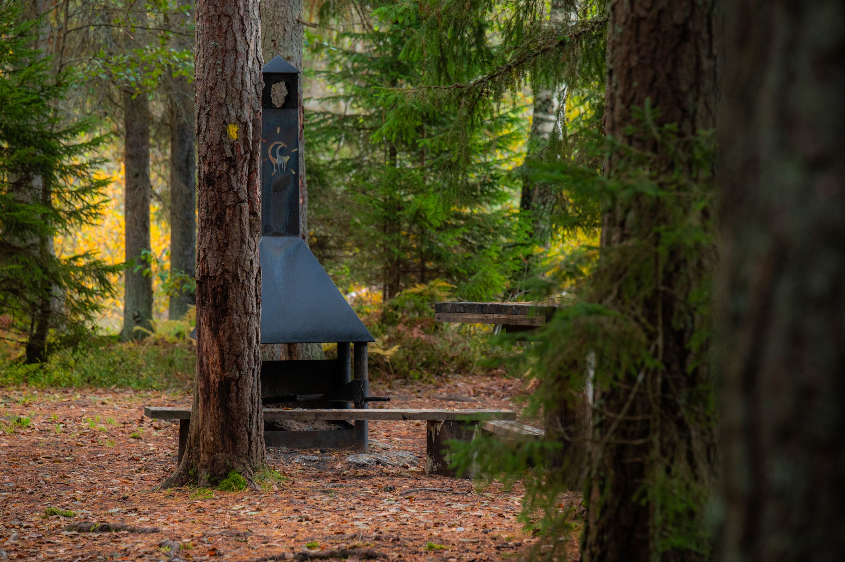
I found 3 campsites around the lake and in this particular one on the photo below, a small flame was still going. Nobody was around but prbably left very recently. In addition to the camping spots, there was a couple of spots where I saw that people have made their own fireplaces.
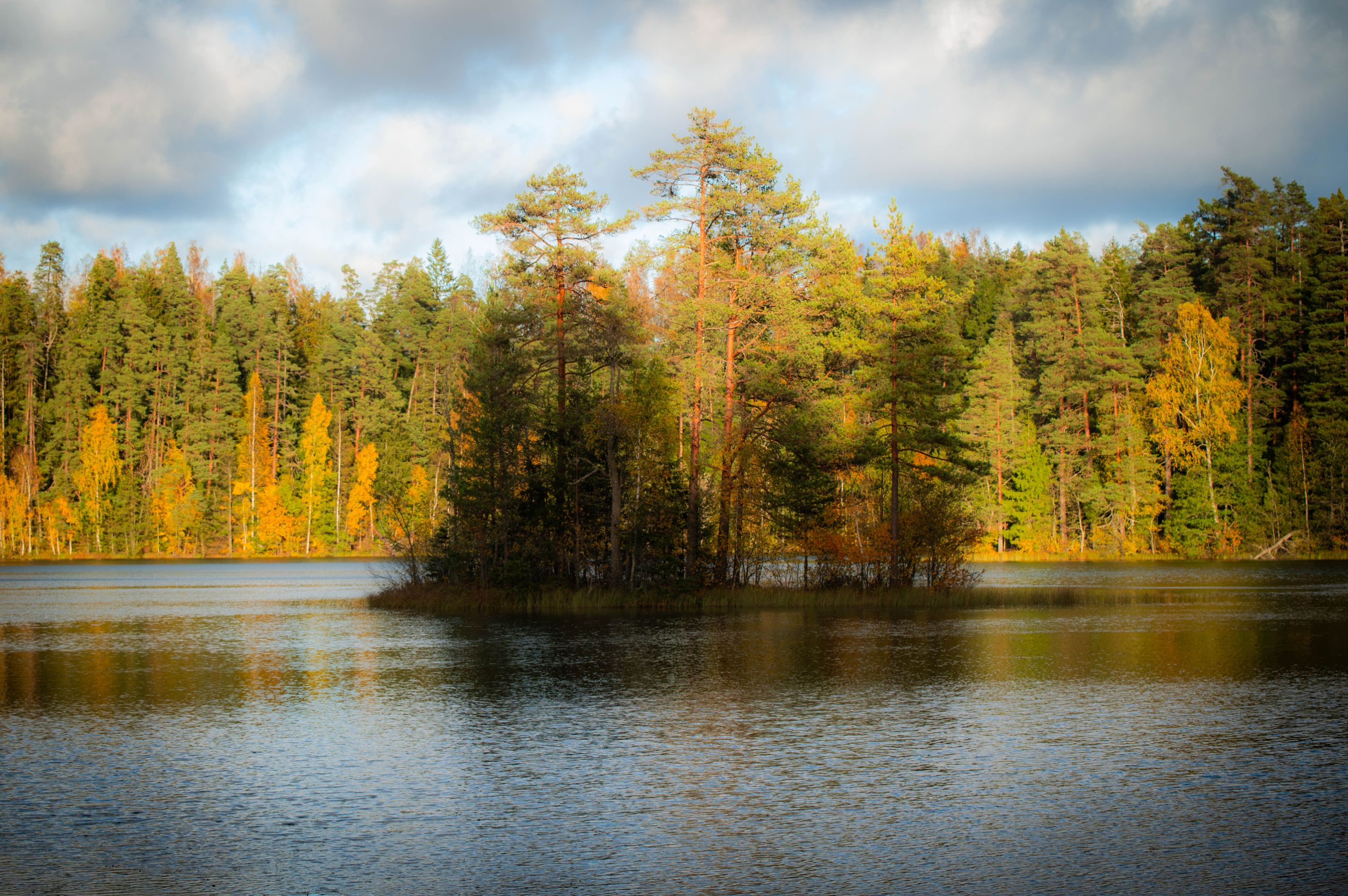
In a middle of the lake is a small island. Since some clouds moved above, I was able to capture a moment when the island was shaded and the background sunny. Love this shot!
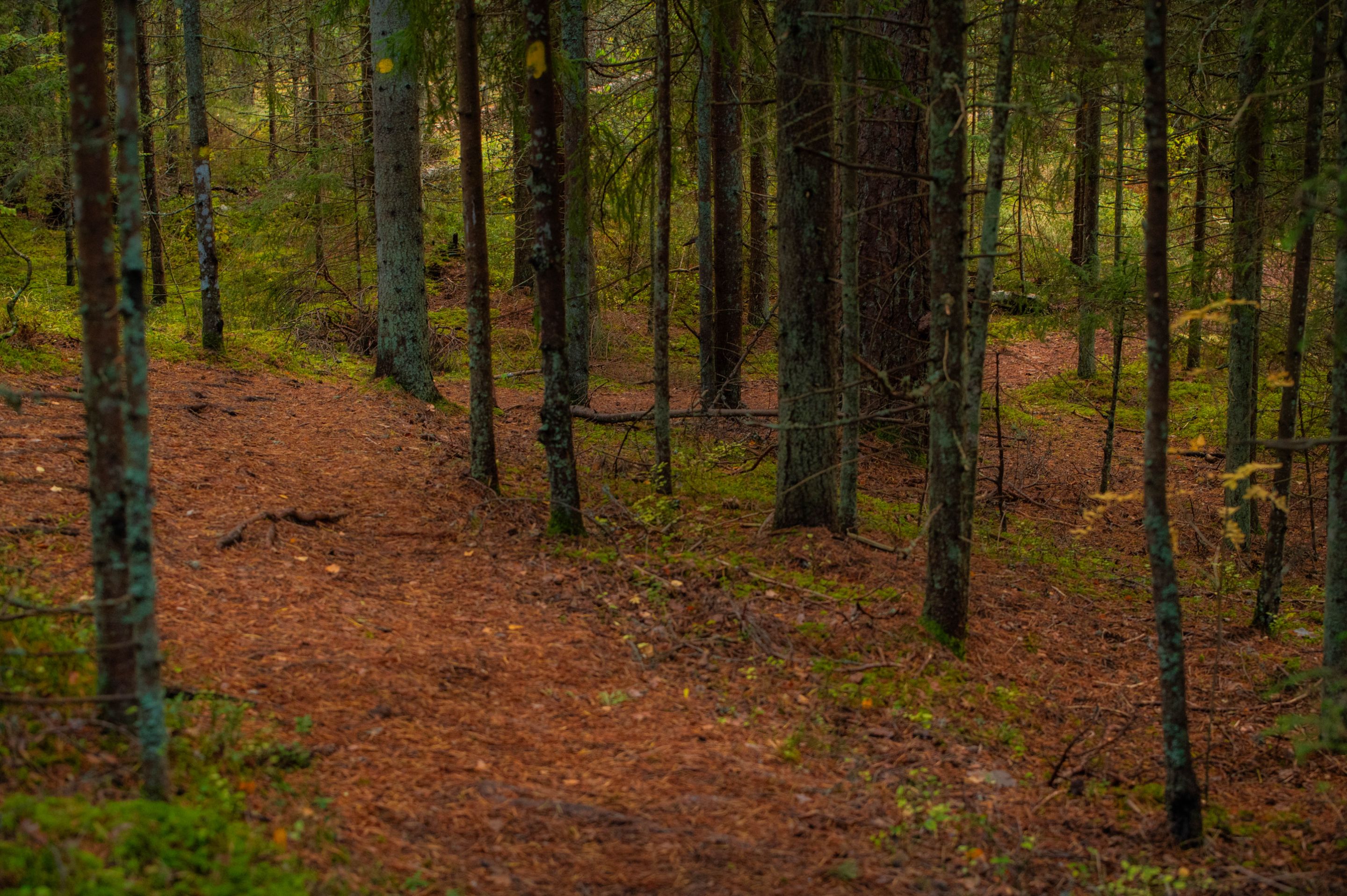
This is how the trail mostly looks like that goes aroun the lake. Quite hilly and very forested.
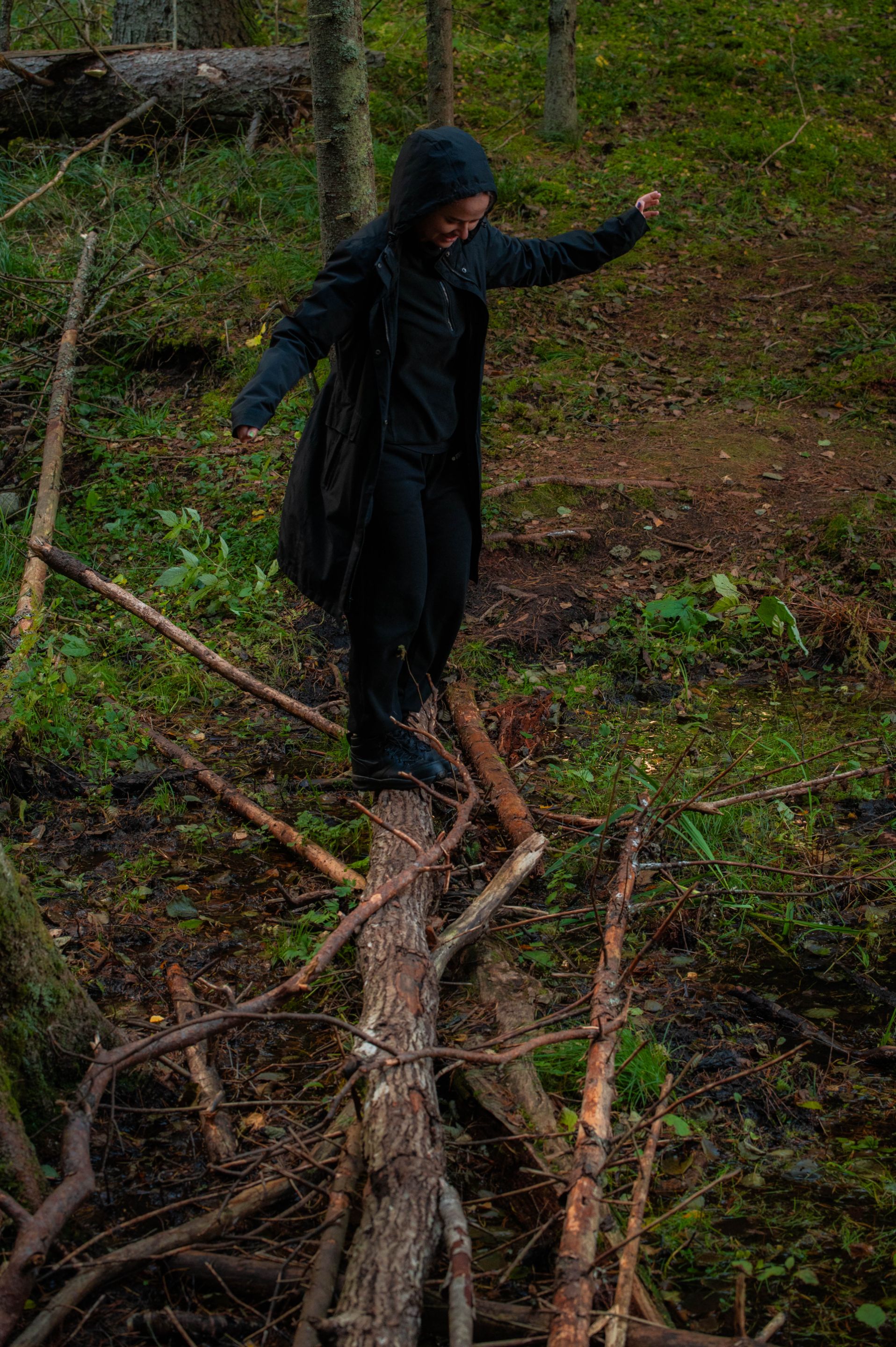
In one spot we had to cross a stream. A tree had conviniently fallen down over the stream so we were able to use that to cross and leave the feet dry. The water is cold so it's definitely preferred.
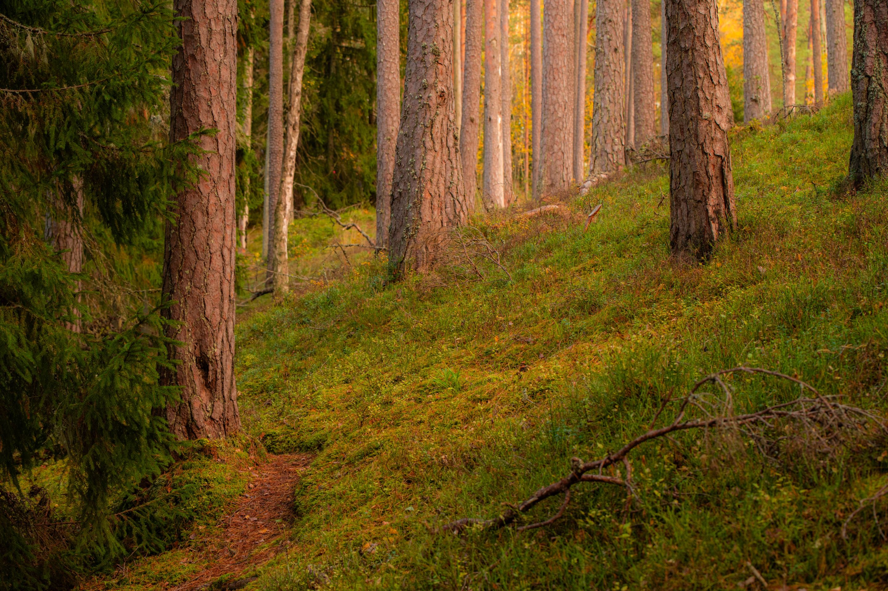
The trail on the hillside.
Eventhough rugged, trail was mostly still easily passable. On the northern side however the trail suddenly vanished. On the left side was a lake and on the right 25 meters high steep hill. I don't have a photo of that but we had no choice but to climb it.
On the northside hill, there is also a watchtower that is about 25 meters high. You can climb it and see a view like this over the lake.
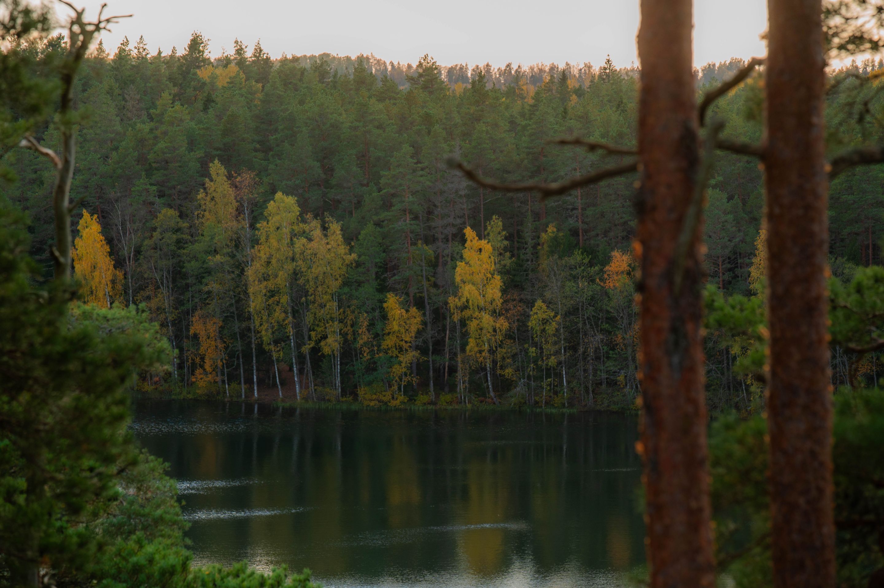
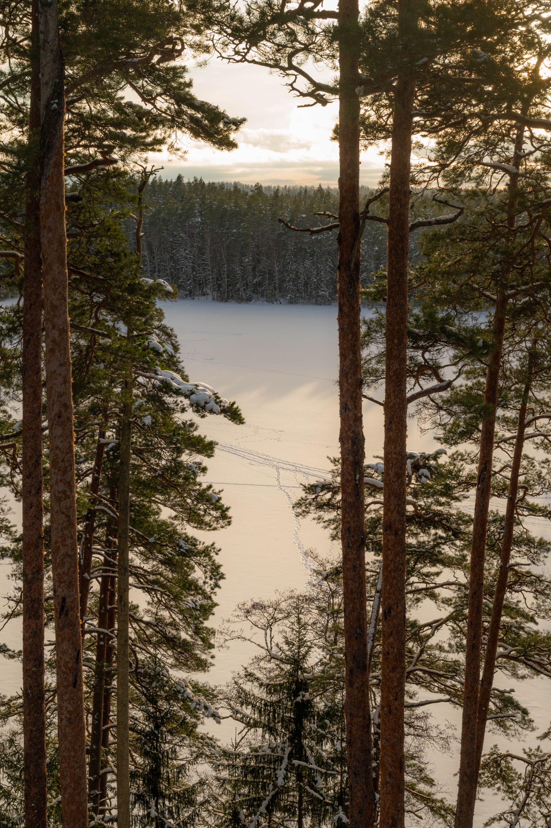
Since my photo doesn't show the widest view up there and I didn't take other photos there this time... Here is a winter shot of the same place, taken this year in February.
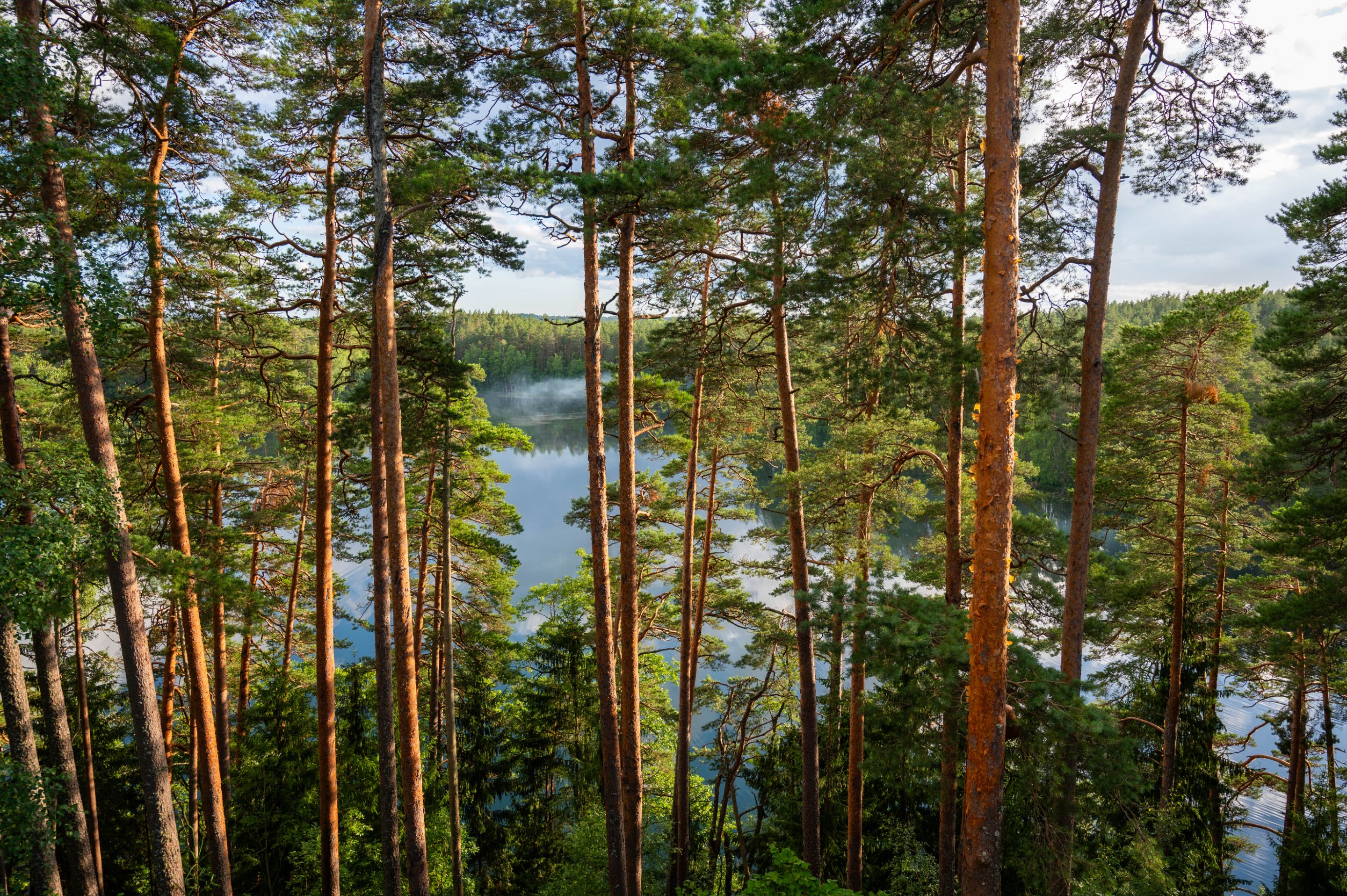
And early July in 2024.
In these forest massives, I think I have only scratched the surface. There are more trails to explore, and I'm looking forward to go back there at some point in the coming years to see more what's there to find.