
1:47 PM Location: Somewhere around covering up the 3-4 mountain turns beyond Marhi, Manali. Altitude : 3468 m above the sea level.
Driving beyond the glaciers.
 Julley Everyone,
Starting the day out here today, somewhere as early as 7 AM, where just headed to this beautiful destination, been continuously driving from the past few hours and finally reached at this spot.
I was so nice to see that, even in the summer season, we could witness the snow all around. It was the portion of the mountain, which is on the other side and usually the sunlight just for a particular time of the day. That being caused the never melting glaciers.
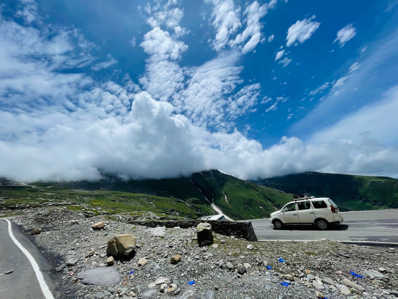 In this post, I’m gonna take you guys along with me to this journey where I’m gonna share few of the most beautiful hidden corners around Manali at the moment we were at an altitude of more than 3500 m above the sea level, and it was still continuously going on somewhere beyond three or four turns Where we were beyond Marhi, Manali.

Here is a quick glimpse of the GPS Map and we were somewhere between the turns.
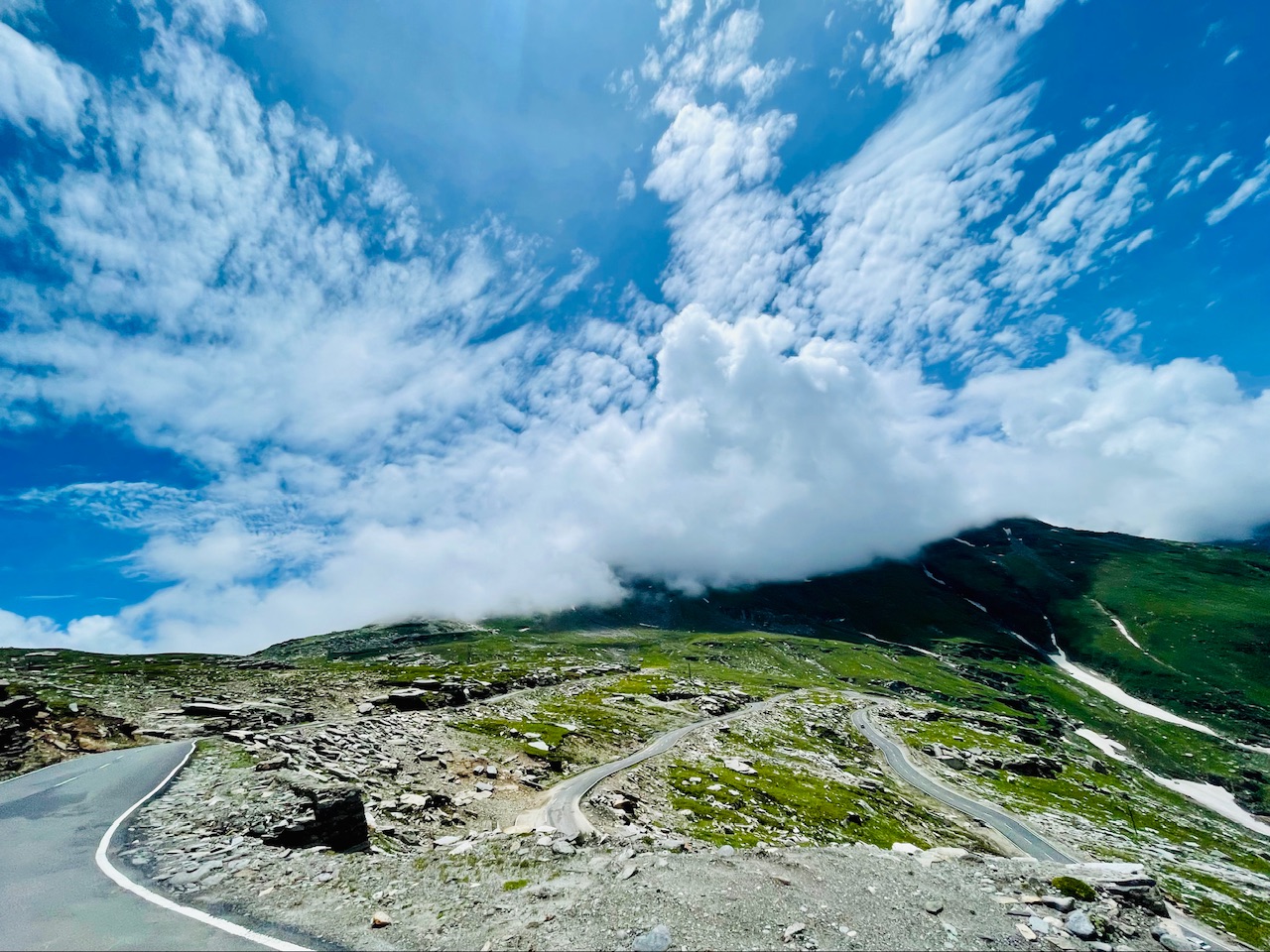
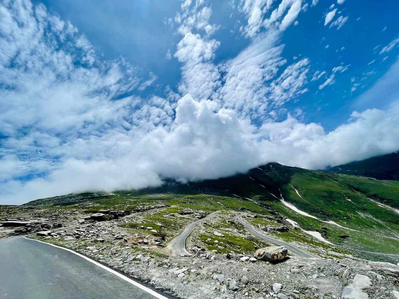
The trails to Heaven.
 It was literally a gateway to the heaven or beyond as all that we could see at certain point, if it felt like that we were going above the clouds also as the roads they were built somewhat this type of essence or the vibe that the place was giving us.
 Those no cellular network at this spot, neither there was a Wi-Fi also all that we could see so far and far away these beautiful mountains all around, followed by the glaciers that stood at the same location throughout the year. They never melting nearby. It was somewhere around 2 PM afternoon When we finally reached at this spot from where we could clearly see the whole mountain range, followed by the countless number of turns that brought us here.
 Used to be once in the ancient times the pathway to the other side of the Himalayas, as this was the gateway to Rohtang Pass welcoming the Lahul and Spiti Valley.
 We decide to stop here for a while. Enjoy the view capture photographs as these were the views that could only be visible at certain point throughout the year. Usually, the place is not trrough throughout the year because of the snow and ice nearby all around the road, so it is just the time of the year And the places accessible to the vehicles and that preferably the 4x4 vehicles.
The turn to the top.
 Finally, after driving more than 30 minutes beyond the turn, we finally reached at this spot and it was the turning point which would take us to the other side of the mountain. It was the land that kind of looked a bit flat at the top, and we were getting the feeling that we were now about to reach at the top.
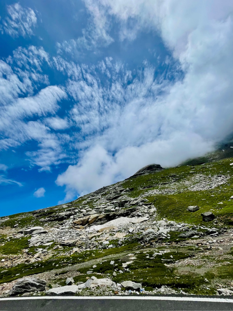
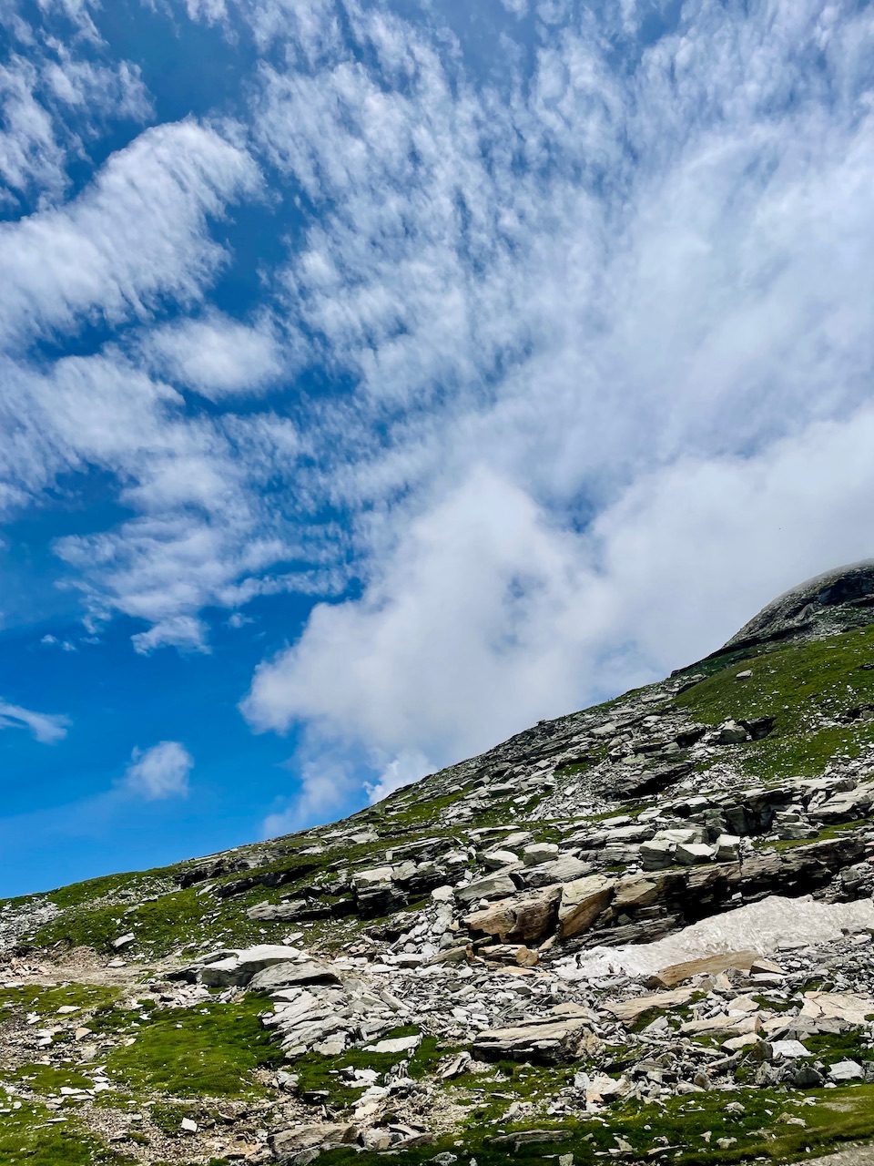
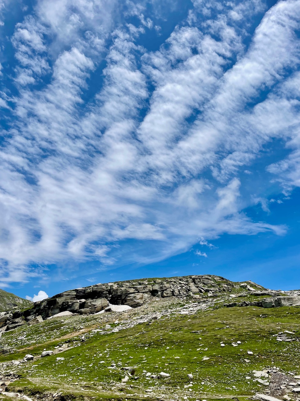
 Another thing that I noticed when I was at this place was that I saw no sort of vegetation. The place usually was beyond the non-tropical zone. NTZ beyond the tree line because of the high altitude in harsh climatic condition, and the most part of the place is covered and a thick blanket of snow, their last more than half the time of the year.
The Peak Unknown.
 From this spot, we could clearly see a mountain peak a mountain summit right in front of it. I was not sure that what this mountain week was. I really wanted to climb this mountain, but without having any information or about the place this time, I decided to just wonder the place and see that how I could approach the mountain and reach at the top and Summit.
 I decide to stop here for a while and just see that how we could approach the mountain, so I just parked the car over here right next to the place. As till now we had been driving continuously from the past hours and hours or so, so I decided to just track the place for a while Beyond the spot and just see that how the expedition would look like.
Since I started my journey, it felt like the mountain was just right in front of us as you were getting closer to the more and more far away from us.
 As of now, till we start our journey to the summit, we will not sure about that whether we would reach at the top or not, but all together I was just vibe that we could somewhere between where we could approach the trail to the top in future, also just in order to get familiar with the place.
 In the end, we made it all the way to the spot where we could just see this rocky portion. It took somewhere around 12 to 15 minutes in order to reach and we were in the pace of speed trail running and the journey today kind of look something like this, I tried capturing as many photographs as I could so that I could share it with you guys, and you guys could also experience the hidden side of the Himalayas.
Do let me know my friends the photographs you like the most in the comment section, and I would love to hear from you.
So that’s all for today, guys, I hope you like it. Thanks for your precious time. 🙏 Love from the Himalayas. ♥️